           00:00 Title
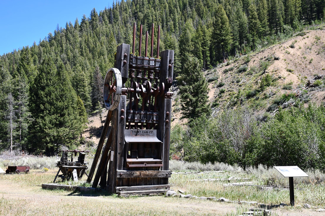
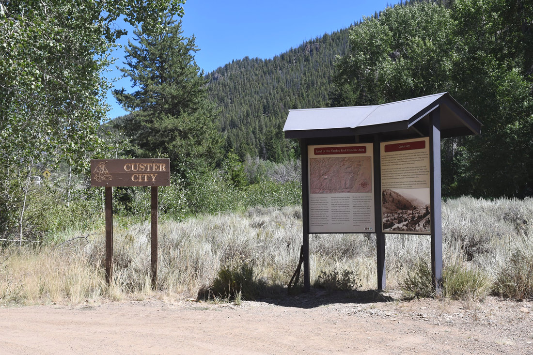
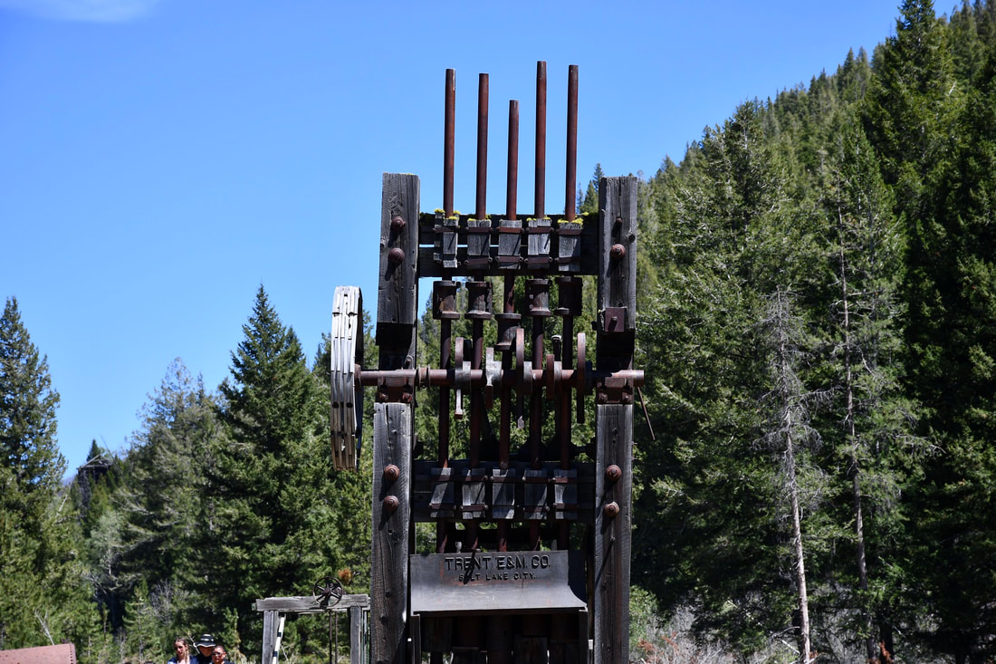
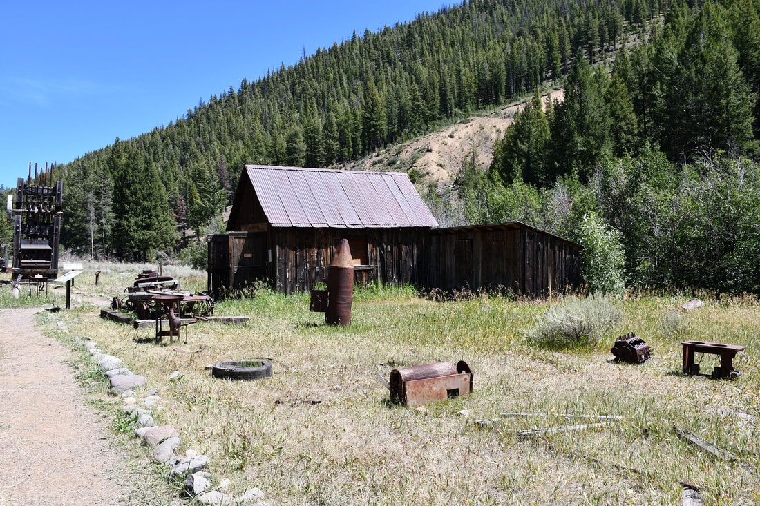
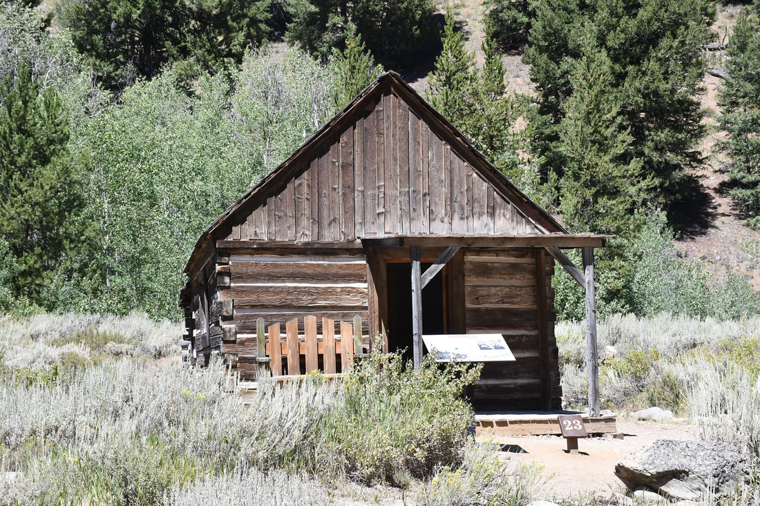
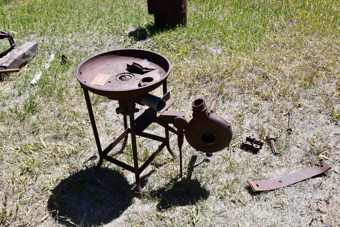
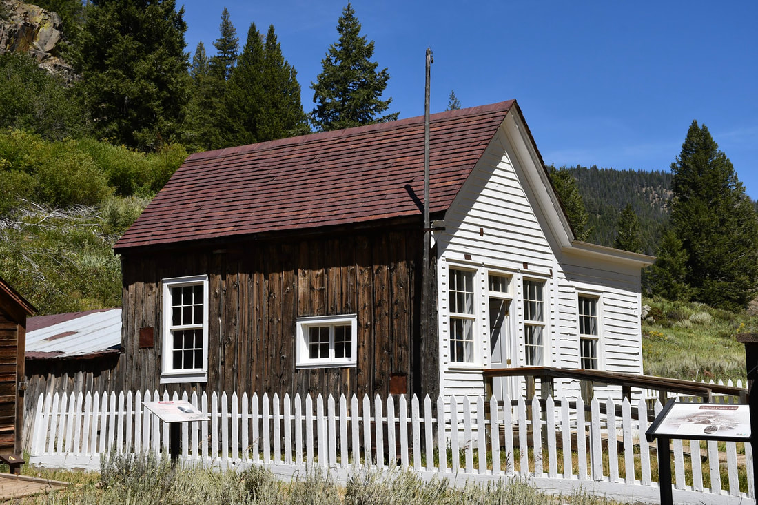
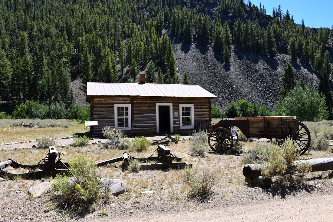
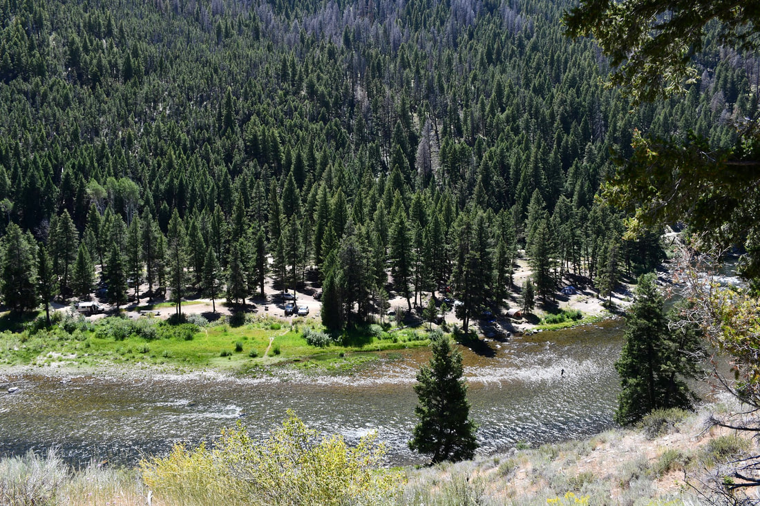
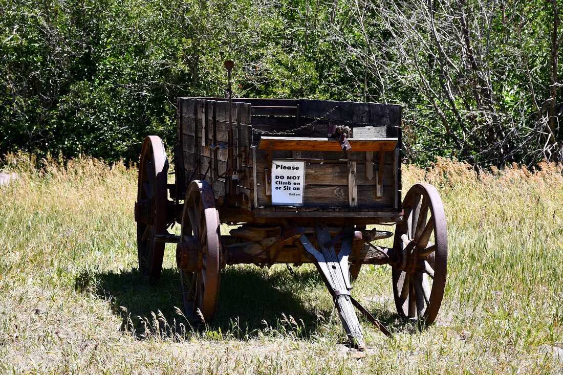
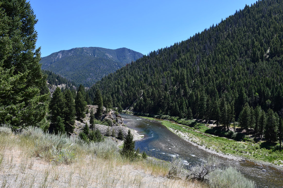
00:16 Yankee Fork Gold Dredge & Bonanza Stream Restoration Project 03:51 Bonanza Ghost Town 06:56 Custer City Ghost Town 09:11 Bayhorse Ghost Town 20:30 Fin Touring the ghost towns of the west certainly is the means for opening a door to the past. A lot can be learned during the experience, especially for children that are fascinated by rustic old structures. Modern folks that have gold fever will relish the thought of visiting ghost towns too, since most of these abandoned towns had their origins in boom to bust mining operations. Some of the most famous gold rush ghost towns are located in California and Nevada, while the old territories in the Rocky Mountain Range also host several that are well worth checking out. In fact, some of the best preserved old west ghost towns are found along the Yankee Fork of the Salmon River in the mountains of Idaho, which once was a prime gold producing region. Powder gold was discovered at Yankee Fork in the mid 1800s and it did not take long for prospectors to arrive in numbers. Stakes were claimed and soon after the riverbank placer and mountain lode mining operations started taking shape. Small towns sprouted up for support near each mining area and by 1877 Custer City was established. According to historical records, Custer City was known for being a place where gold speculators generated funding from investors abroad. Custer City was supported by two major mining operations in the local area, but the economic stability did not last long. The mining operations only lasted a couple of decades before the price of gold declined and the labor intensive extraction process was no longer worthwhile. By 1910 Custer City was completely abandoned and what remains has been preserved. The brief Yankee Fork Dredge operations that began in the 1940s arrived too late to save the day. By this time, Custer City was long gone and so were several of the other abandoned neighboring mining towns. Between hydraulic mining and the big steel dredge, the Yankee Fork River suffered massive environmental destruction and the restoration projects continue to this day. Custer City was originally preserved as a Challis National Forest Historic Site, so the most prominent buildings still stand in fairly good condition in a cleared area near the river. This ghost town is open to the public and no fees are required, so it is a family friendly place to explore. Basic facilities are available and the old schoolhouse museum is open during the short summer season. In recent years, the Yankee Fork State Park was established to protect the historical significance of this entire mining district, which includes the Yankee Fork Dredge, Custer City, Bayhorse and Bonanza ghost towns. Doing the complete tour of all these historic sites can be done in one day, but some of the dirt roads can be too rough for an ordinary passenger car. There are alternative smooth travel routes in this area, so it pays to do some mapping research when making plans. Custer City is a great place to start the venture and the little museum will provide an interesting window to the past!
1 Comment
|
Leave no trace!
New!
Destination West YouTube channel! https://www.youtube.com/@DestinationWestOrg *The Destination West website upgrading project is well underway. Unique YouTube slideshows are replacing the outdated Flickr photo galleries. The new videos feature modern graphics and alternative music instrumentals that enhance the viewing experience. Some articles are being condensed, while others are getting much needed edits. As everybody knows, the bulk of the original articles and photos were published on the fly during the Covid camping venture and there were limitations. Upgrading is the way to go and more articles will receive a makeover each week until this project is completed. After that, I will be able to gather new material. There is light at the end of the tunnel!
JD Lane Archives
July 2024
|
