|
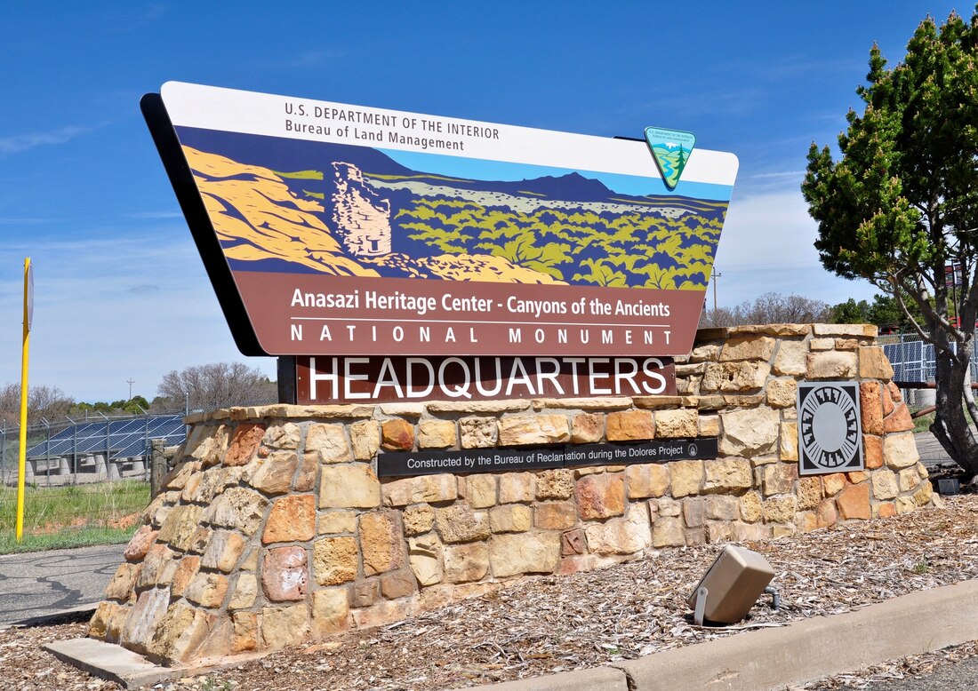
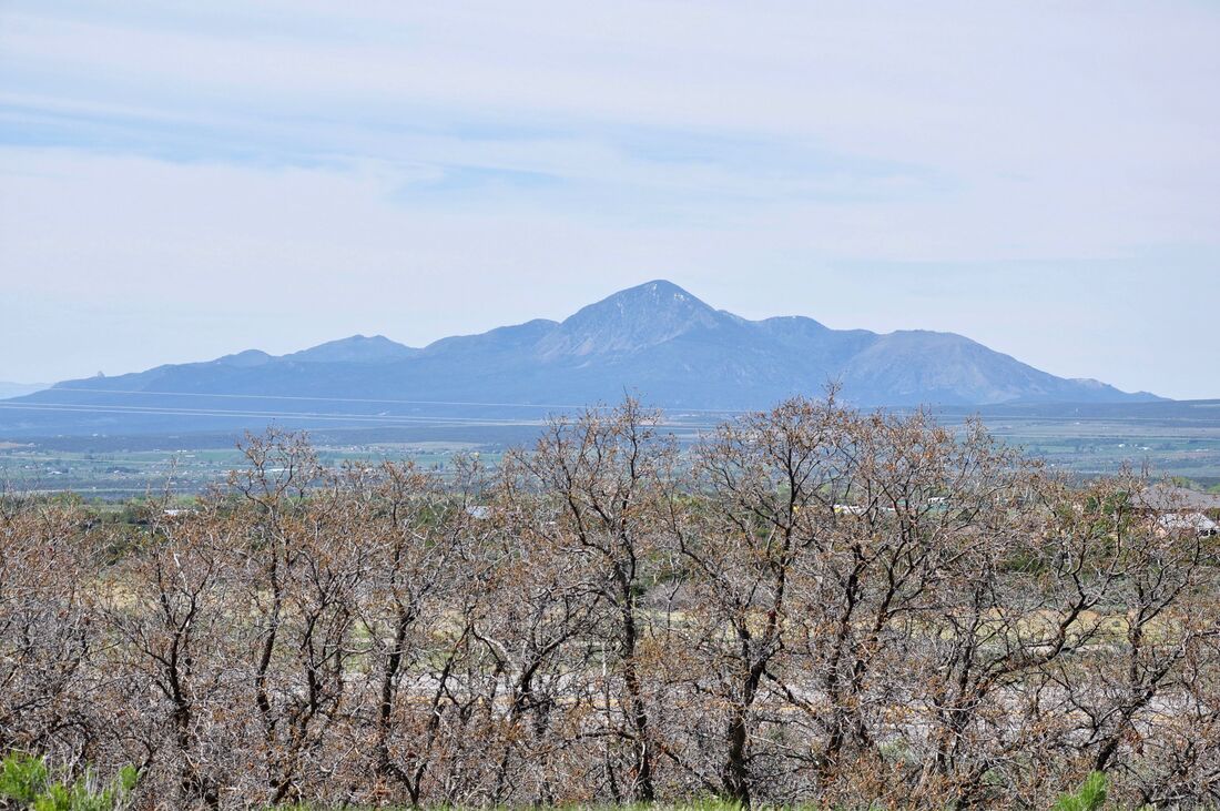
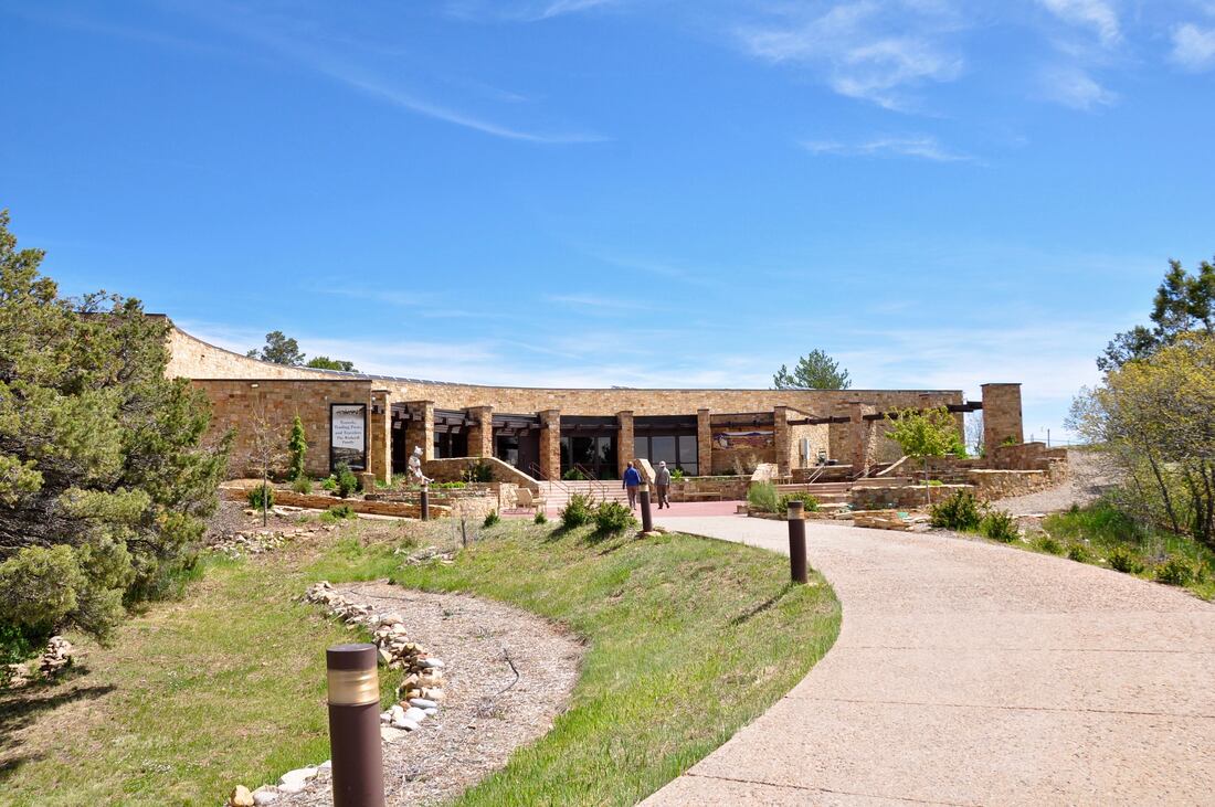
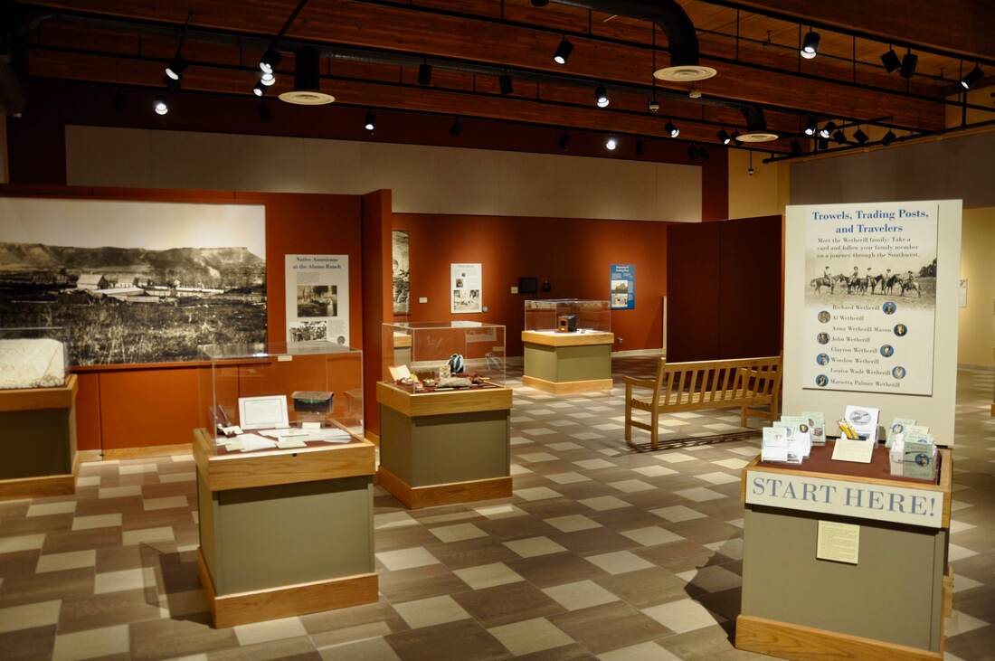
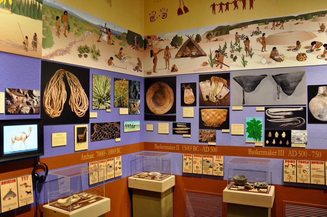
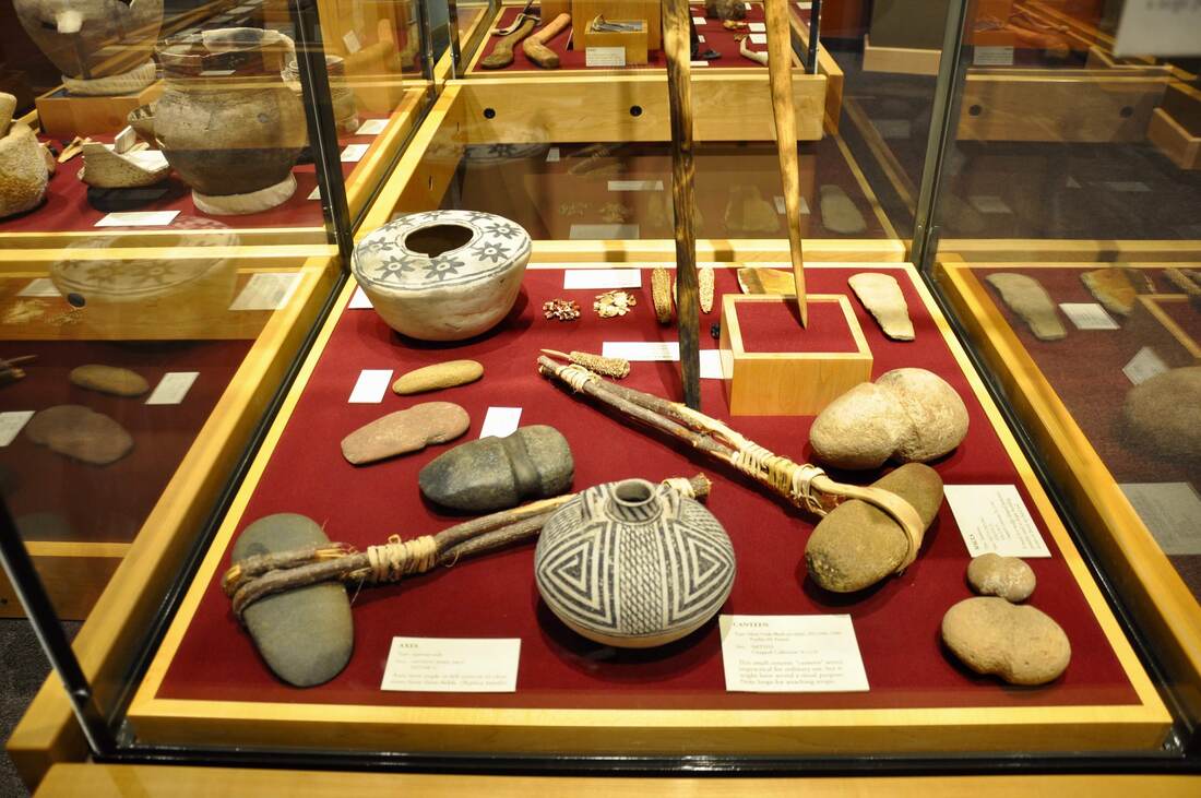
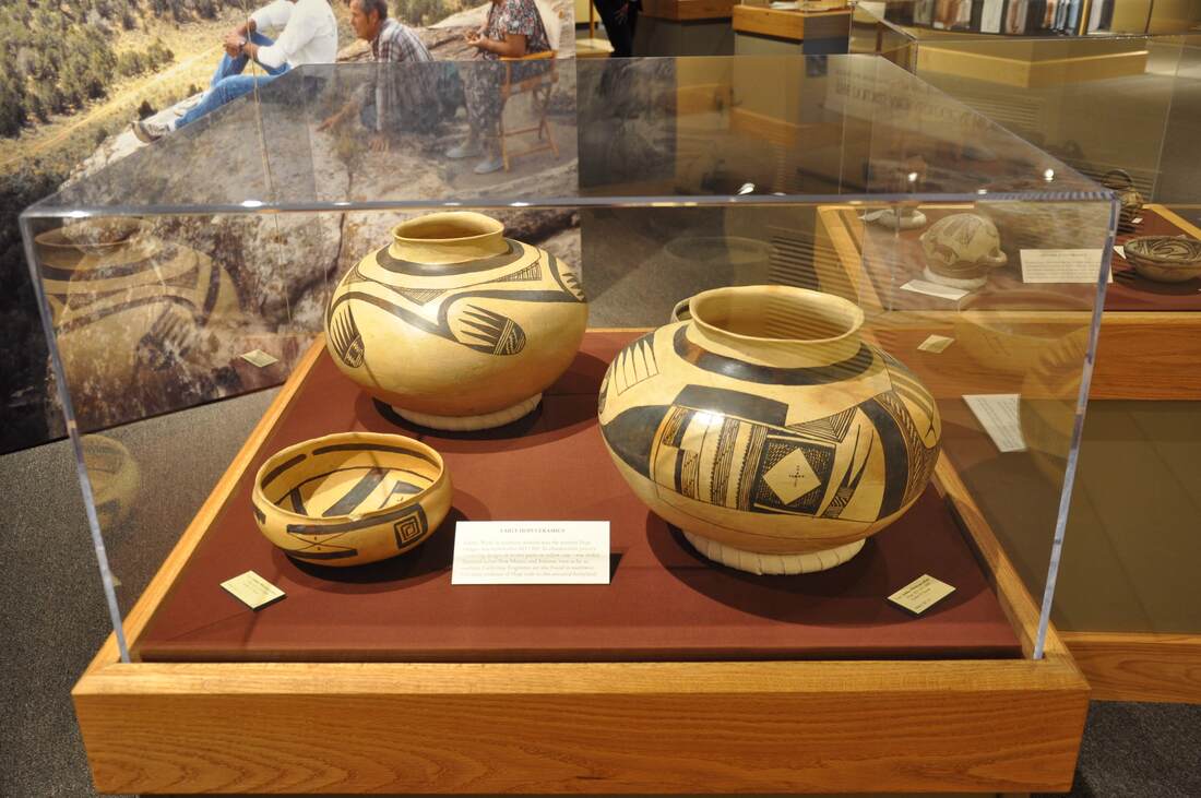
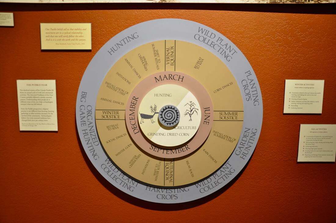
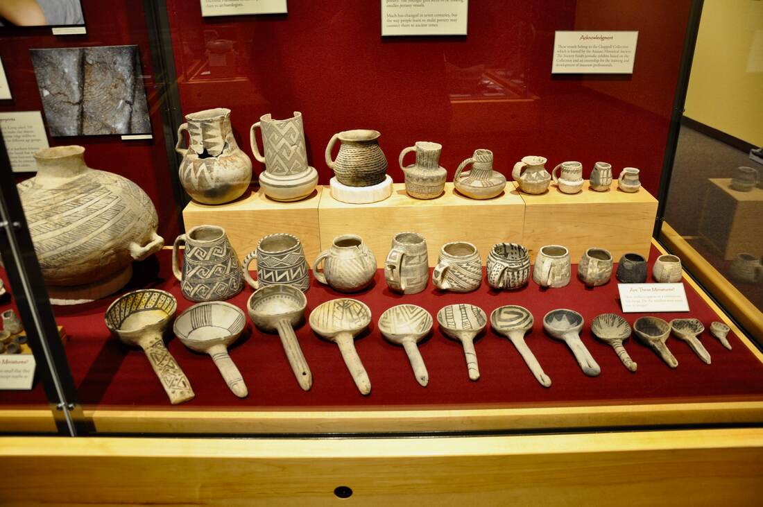
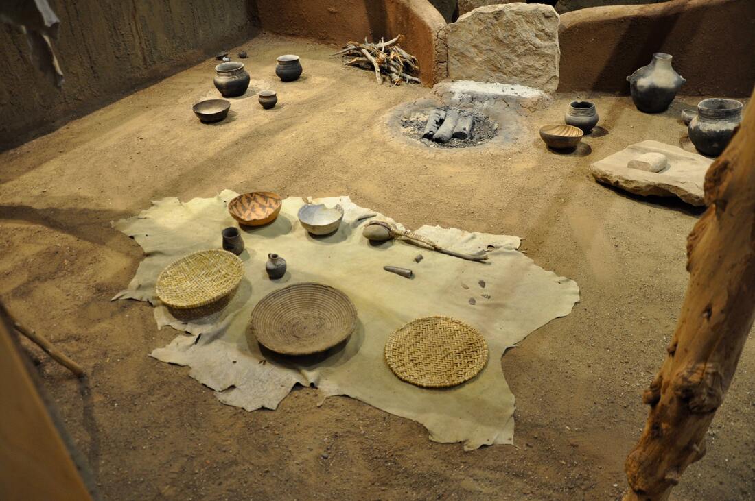
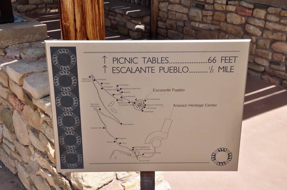
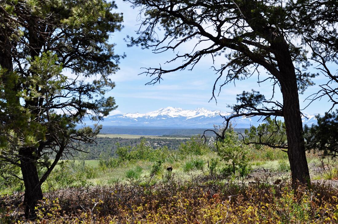
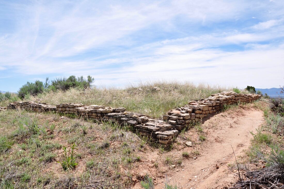
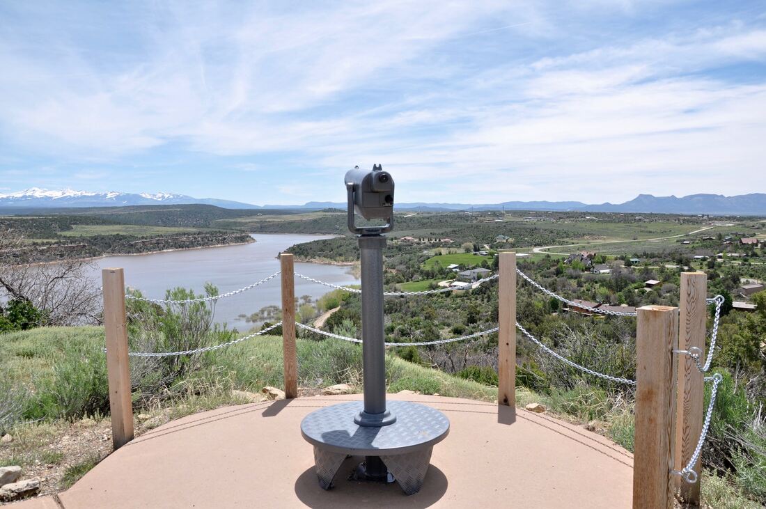
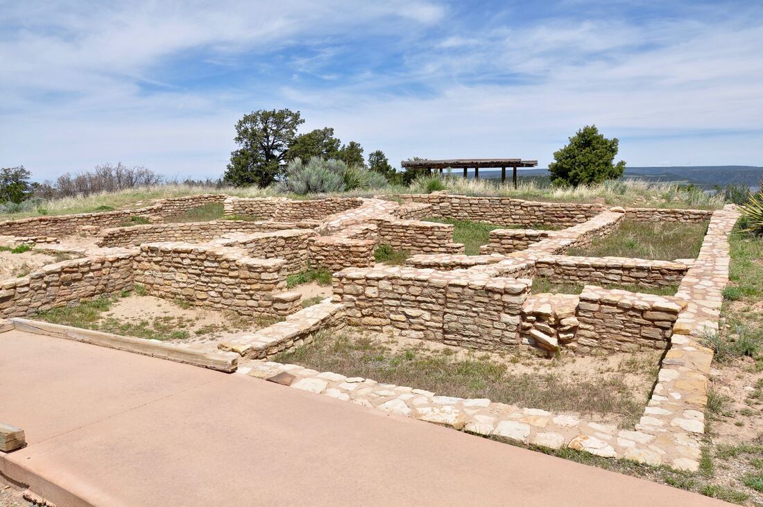
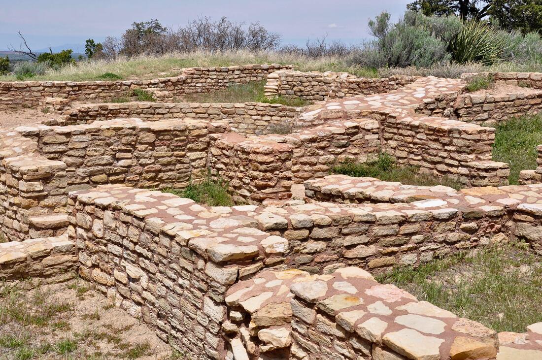
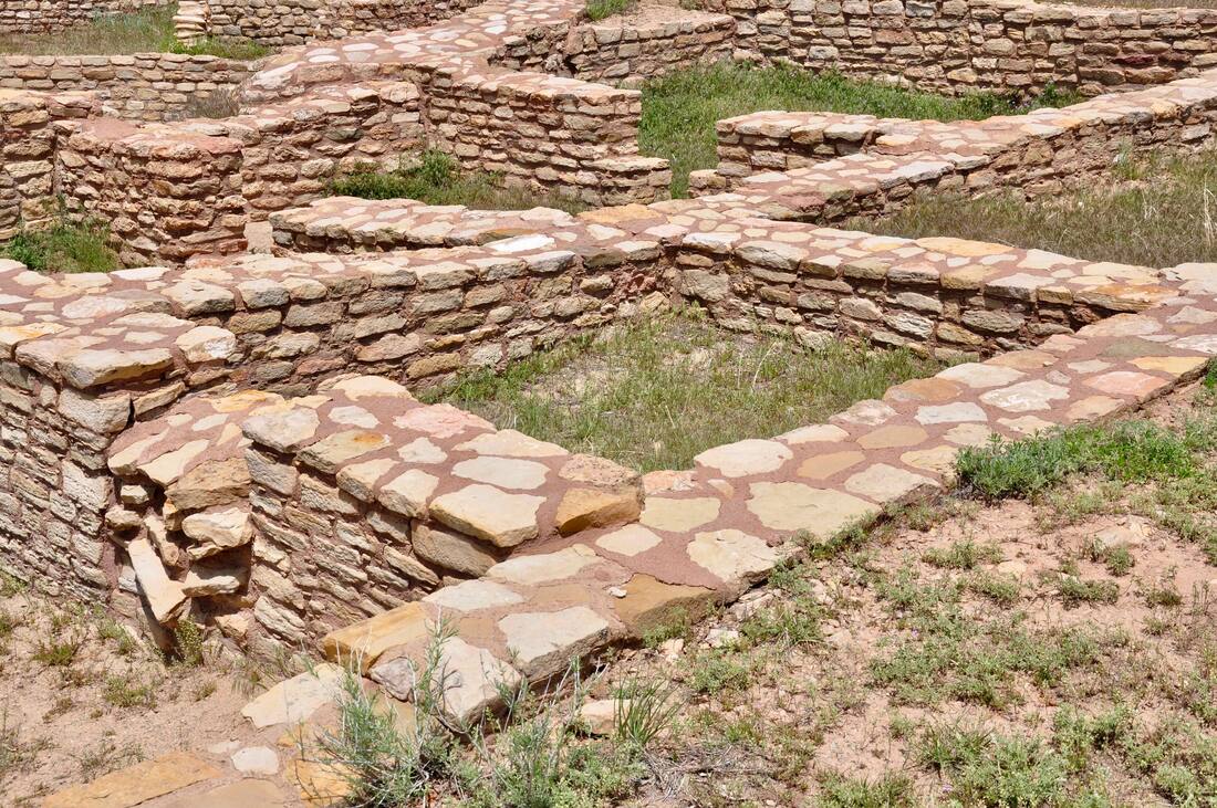
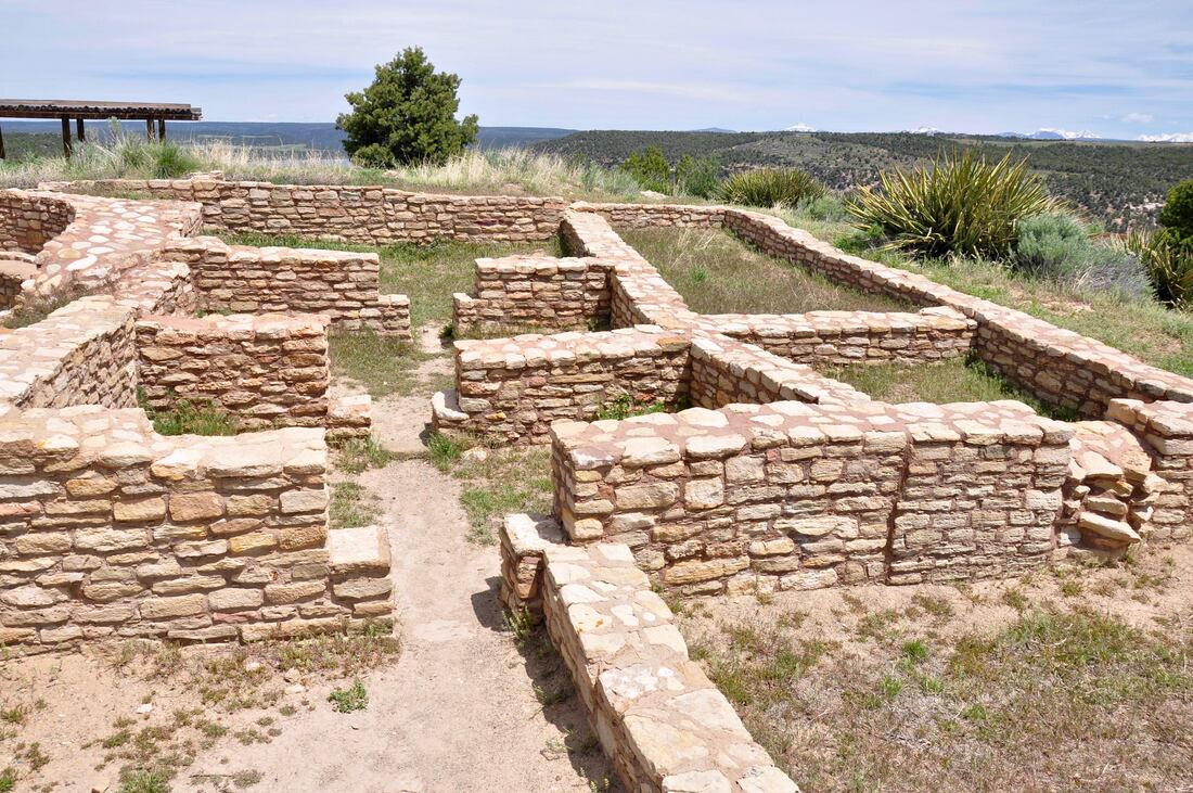
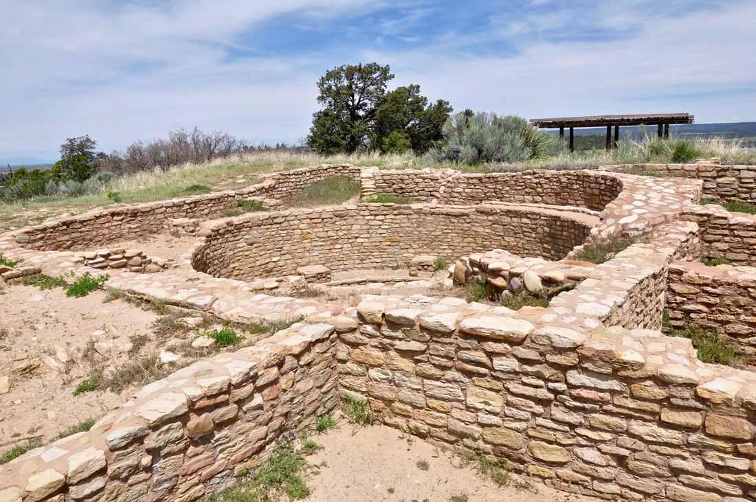
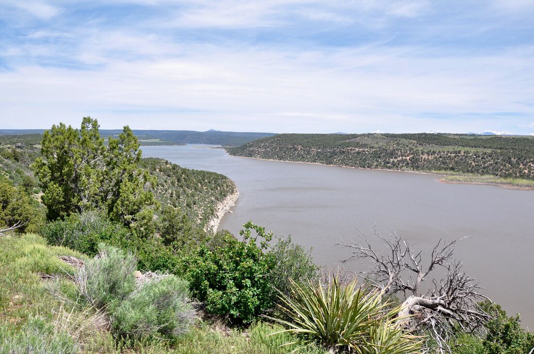
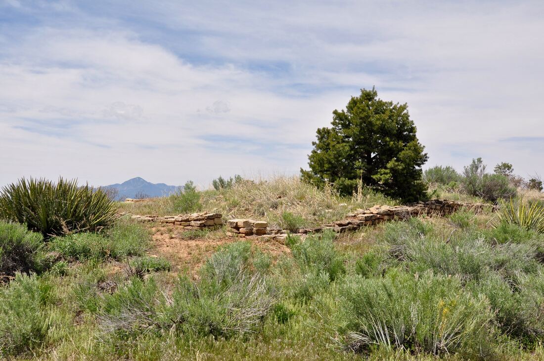
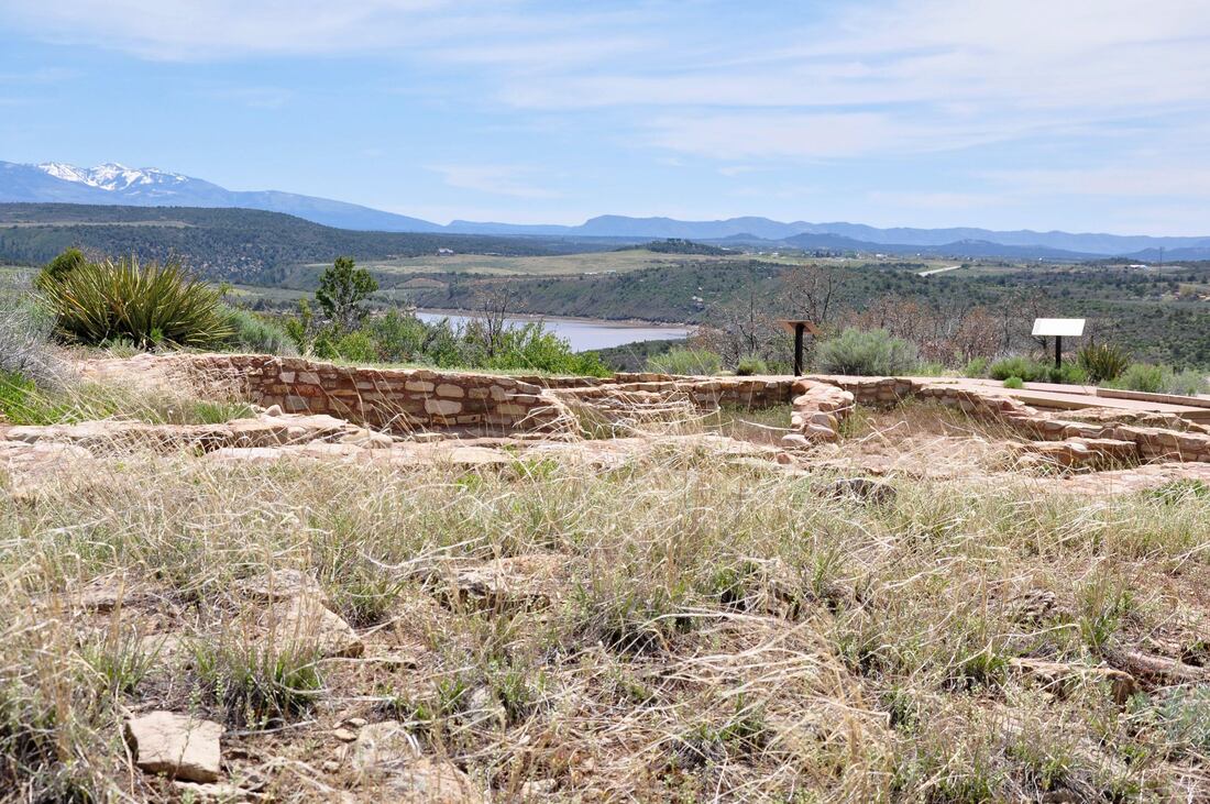
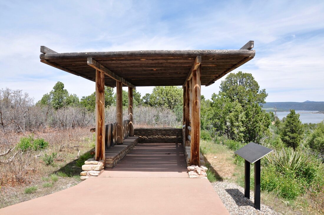
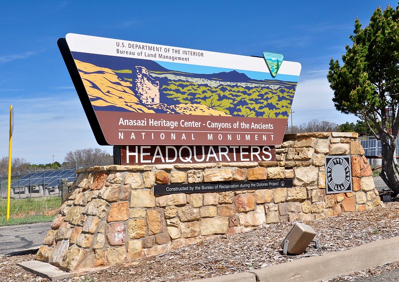
The Canyons Of The Ancients National Monument has drawn plenty of attention in recent years, but unfortunately much of this has been due to corporate sponsored political corruption. As a result of destructive oil drilling and gas fracking, the borders of this National Monument have recently changed. This adds to the confusion, because most visitors never had a chance to figure out where the original borders were in the first place. There now are archaeological areas in Canyons Of The Ancients that are closed to the public for gas fracking exploration. Because this is a shady corrupt business, the closures are not often publicized, so tourists often end up finding out about the closures the hard way. Seeking up to date information about the Canyons Of The Ancients on the internet is not easy to do, but there is a place next to this National Monument where all the information that a visitor could possibly hope for and much more can be found. The Anasazi Heritage Center is the place to go and this landmark is by far the best place to start a Canyons Of The Ancients National Monument adventure! The Canyons Of The Ancients Anasazi Heritage Center is located on State Road 184 near Dolores, Colorado. The Anasazi Heritage Center has the most up to date information pertaining to closures, dirt road conditions and hiking trail access points. This is also where detailed maps of the Canyons Of The Ancients National Monument can be found and believe me, a good map will come in handy when visiting this place! The rangers provide a wealth information about the dirt road conditions, which can be critical when visiting during the summer wildfire or monsoon rain season. The Anasazi Heritage Center is located on a hilltop that overlooks a good portion of the Four Corners Region and the Canyons Of The Ancients territory, so this is a good place to get familiar with the surroundings. When taking in the view be sure to make note of the easy to spot landmarks, like the Sleeping Ute Mountain and Ute Peak. These memorable easy to spot landmarks will let a driver or hiker know if they are going in the right direction in case the navigation instruments fail. The shape of the Canyons Of The Ancients National Monument looks like an outline of a hand with fingers spread on a map. Each finger is a protected canyon with a plateau of agricultural land in between. Most of the National Monument access roads run through the farmland on the plateaus and this is where the confusion starts. The county road signage is intact, but not always, so be prepared for some head scratching moments. Vandals have destroyed many road signs out this way and the unmarked industrial fracking side roads add even more to the confusion. There are National Monument directional signs that lead to points of interest along the way, but these signs are few and far between, so it is easy to assume that a turn was missed. When questioning whether one is lost, those who use smart phone maps will be out of luck, because there is no data signal in this area. Only an up to date GPS system or good old fashioned paper map works in this region, so be prepared to navigate the old fashioned way. The importance of starting a Canyons Of The Ancients venture at the Anasazi Heritage Center cannot be stressed enough, yet this visitors center actually is a great destination in its own right. The Anasazi Heritage Center hosts a large cultural museum that houses an extensive collection of ancient artifacts from archaeological sites in the Four Corners region. Most of the significant archaeological finds from the Canyons Of The Ancients and Hovenweep can be found in this building and they truly are magnificent to see! Viewing the ancient urns, pitchers, bowls, baskets and hand tools that are completely intact with flawless painted designs is a captivating thing to do. The knowledge gained definitely will enhance the outdoor exploration experience in the canyons! The Anasazi Heritage Center displays ancient relics from many cultural locations in the Four Corners region. A flow chart in this museum explains the influences of the Chaco, Mesa Verde , Pueblo People and the Kayenta civilizations. The inhabitants of the Canyons Of The Ancients and Hovenweep are thoroughly explored. Some of the exhibits portray the lifestyle and history of the people that called this region home long ago. A complete kiva exhibit shows daily life in an ancient pueblo and how it looked when new. There are interactive exhibits for visitors of all ages and multi media presentations as well. Guided tours and group tours can be booked in advance, while self guided tours are available too. The Anasazi Heritage Center is also where the easiest to access ancient pueblos in this region are located. Visitors only need to follow the paved Nature Trail up to the top of the hill, where the Dolores River and the McPhee Reservoir come into view. The ancient Escalante Pueblo overlooks both the river and the Four Corners region from this spot high on top of the river bluff. The Escalante and Dominguez pueblos on the river bluff are over 900 years old and they were constructed while quite a bit of pueblo building was going on in this region. One can spend hours pondering over the significance of this pueblo location in relation to the landmarks, while imagining what it was like to live in such a picturesque place. Visiting the Dominguez and Escalante Pueblos will surely inspire thoughts to ponder over for a lifetime! Touring the Anasazi Heritage Center and doing the short Nature Trail hike to the Dominguez and Escalante Pueblos is a good primer for what lies in store inside the Canyons Of The Ancients National Monument. This National Monument covers a lot of ground and it takes some sheer determination to access, but the time and effort is well worthwhile. The Anasazi Heritage Center is the gateway for all Canyons Of The Ancients adventures, so be sure to grab a map while there and break out the dusty old compass, before getting the expedition underway!
0 Comments
Your comment will be posted after it is approved.
Leave a Reply. |
Leave no trace!
New!
Destination West YouTube channel! https://www.youtube.com/@DestinationWestOrg *The Destination West website upgrading project is well underway. Unique YouTube slideshows are replacing the outdated Flickr photo galleries. The new videos feature modern graphics and alternative music instrumentals that enhance the viewing experience. Some articles are being condensed, while others are getting much needed edits. As everybody knows, the bulk of the original articles and photos were published on the fly during the Covid camping venture and there were limitations. Upgrading is the way to go and more articles will receive a makeover each week until this project is completed. After that, I will be able to gather new material. There is light at the end of the tunnel!
JD Lane Archives
July 2024
Donations help the Destinaton West project continue into the future!
Go Fund Me! This website uses marketing and tracking technologies. Opting out of this will opt you out of all cookies, except for those needed to run the website. Note that some products may not work as well without tracking cookies. Opt Out of Cookies |
