|
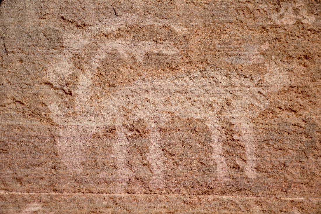
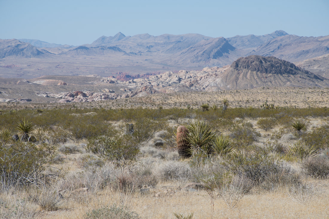
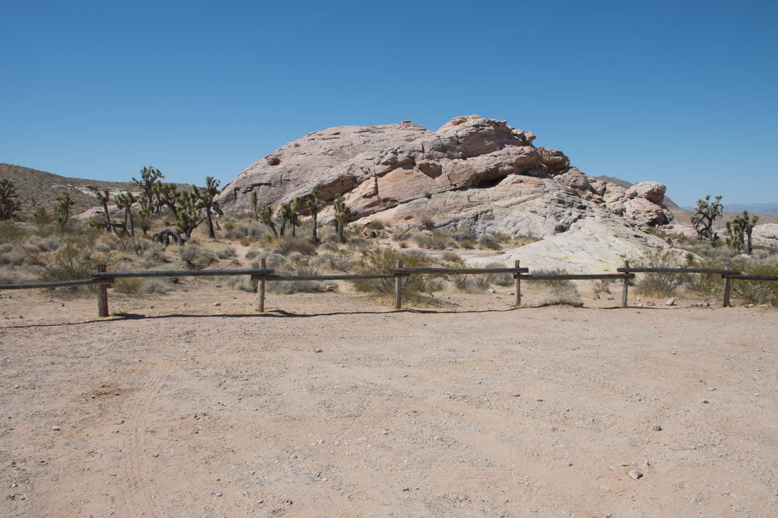
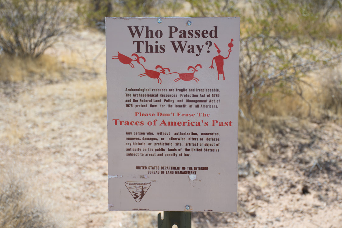
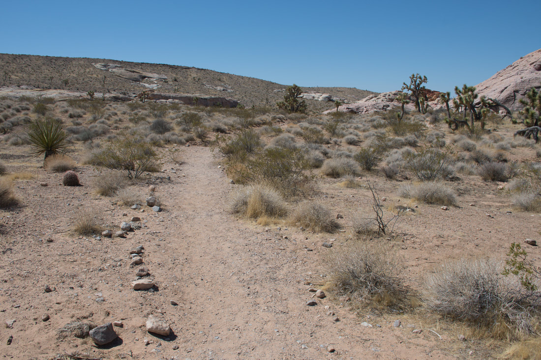
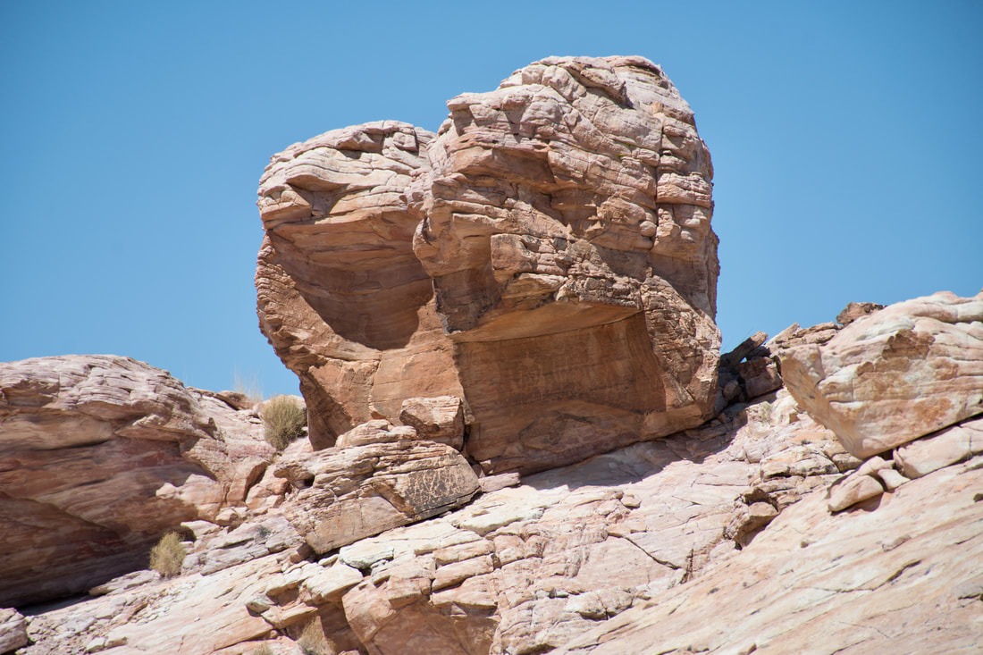
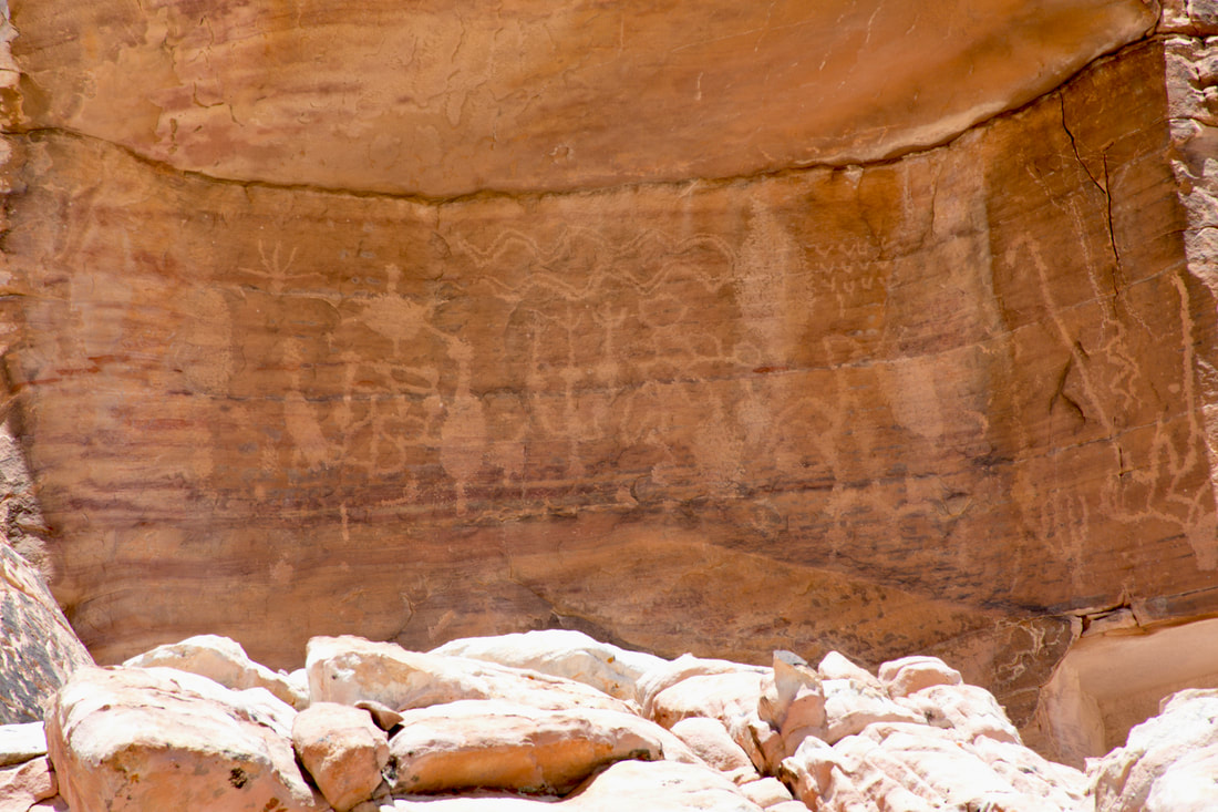
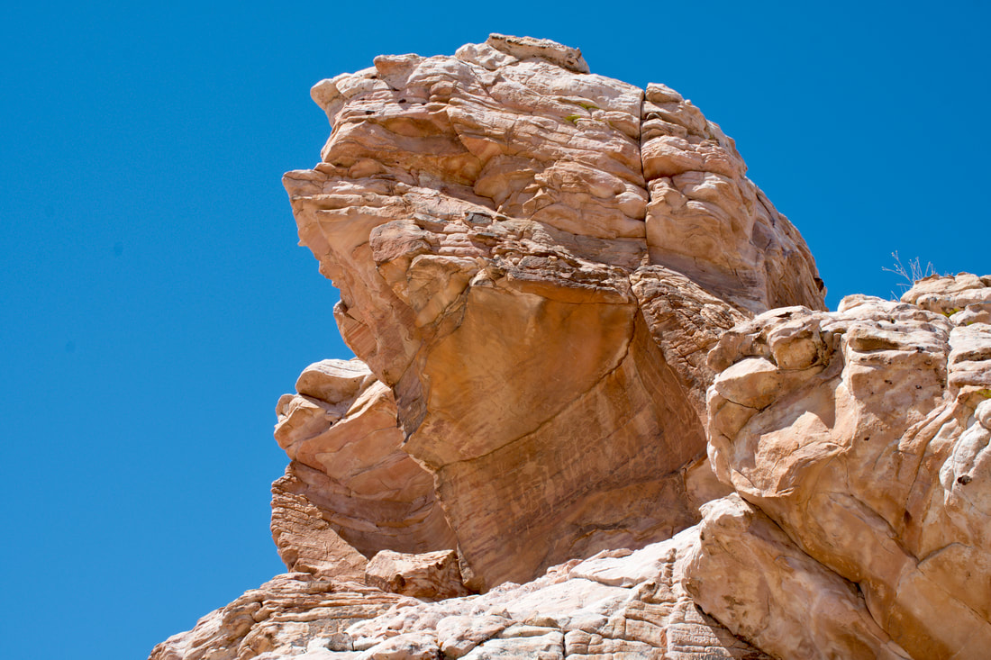
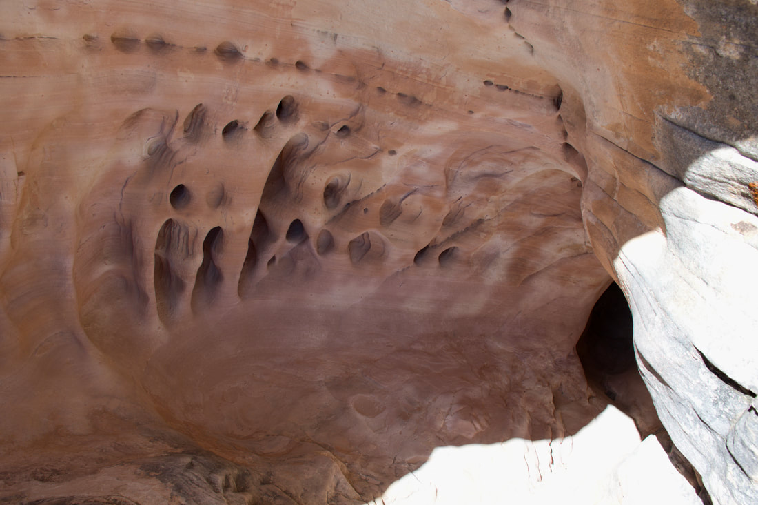
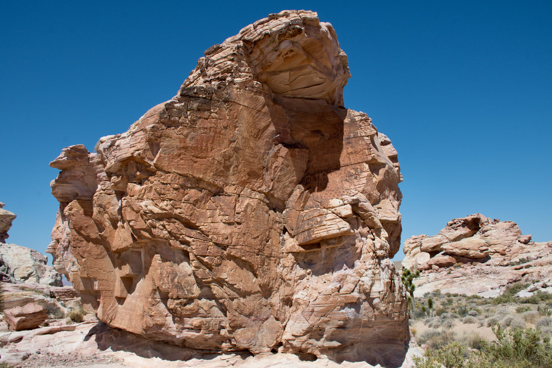
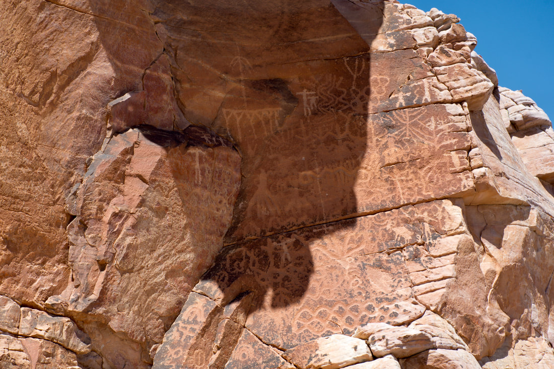
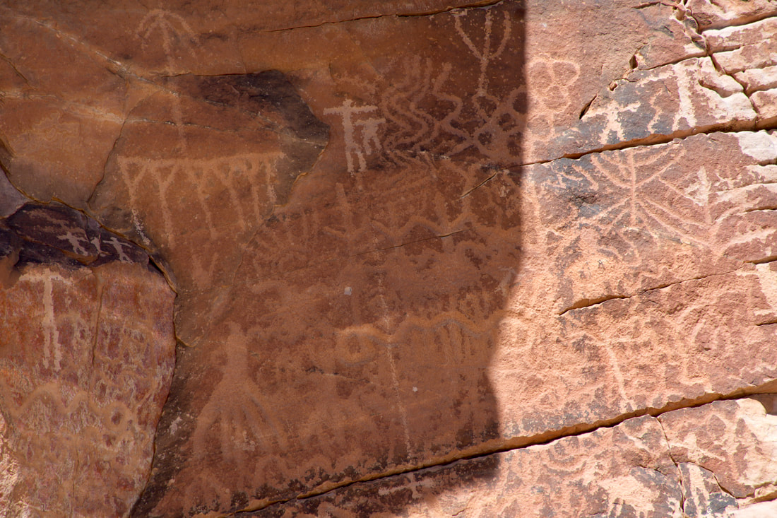
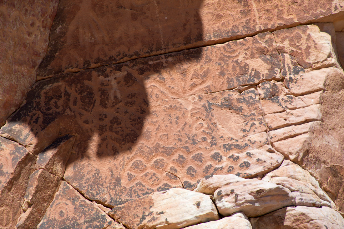
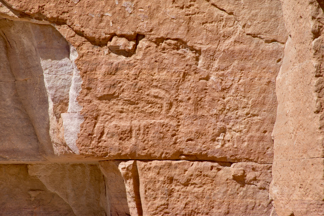
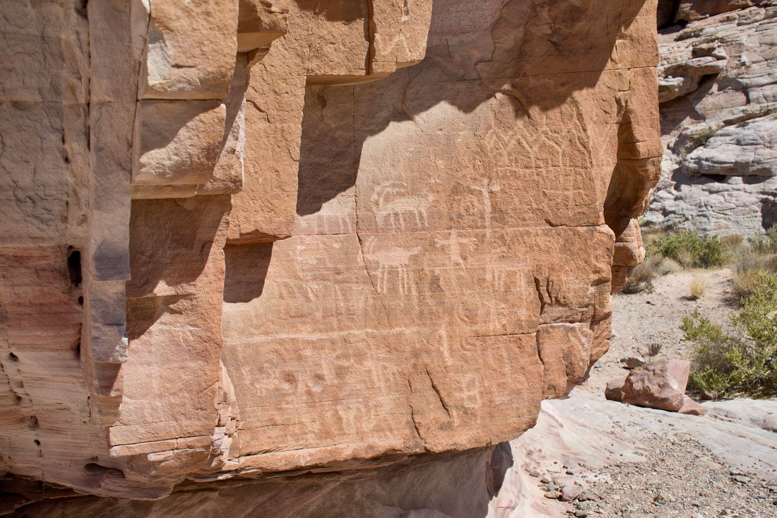
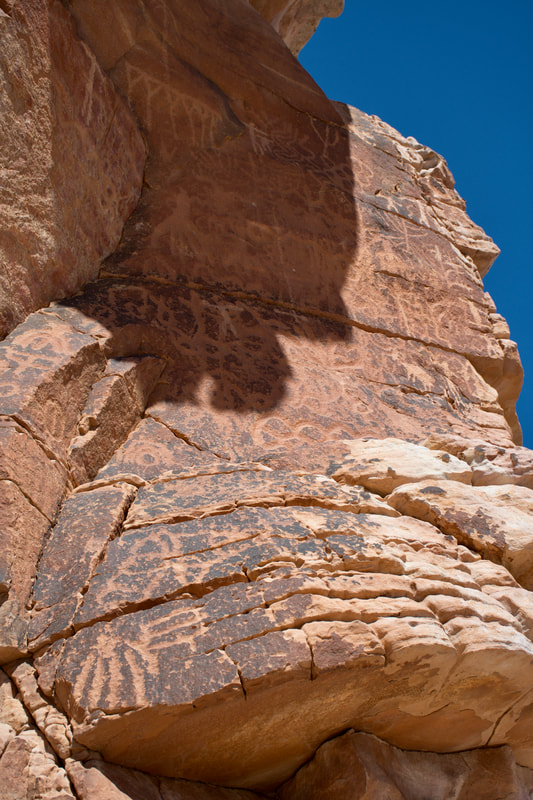
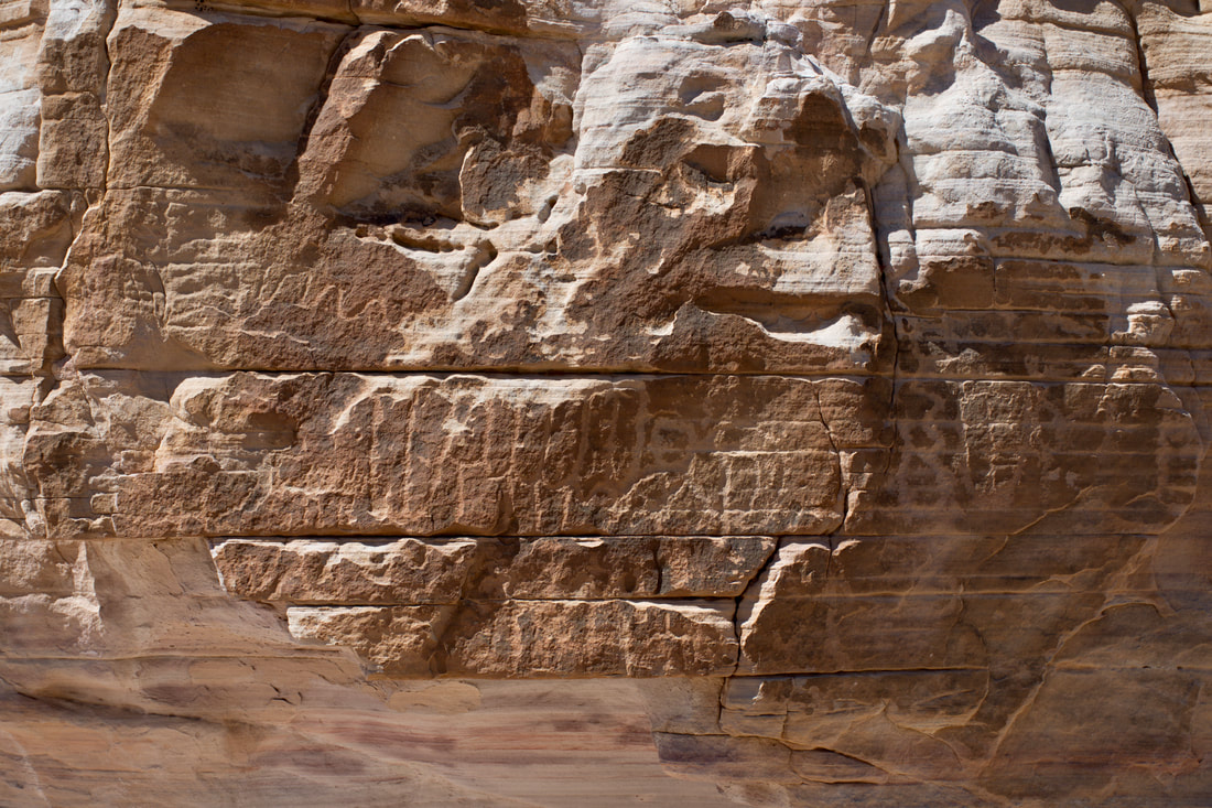
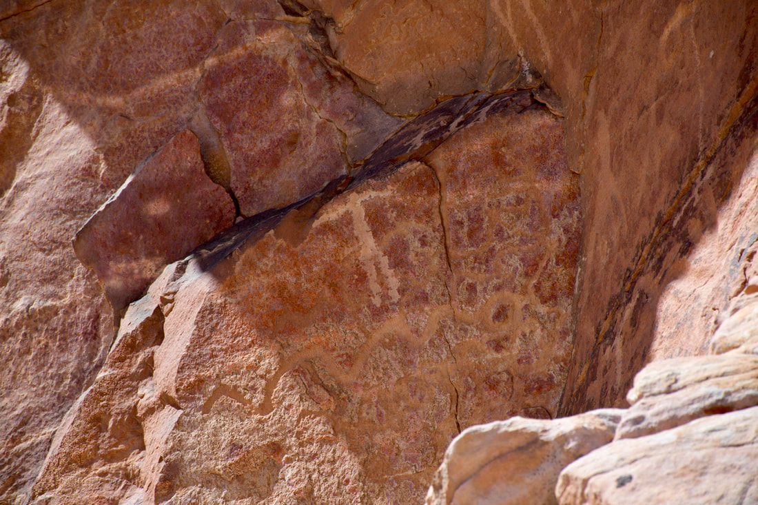
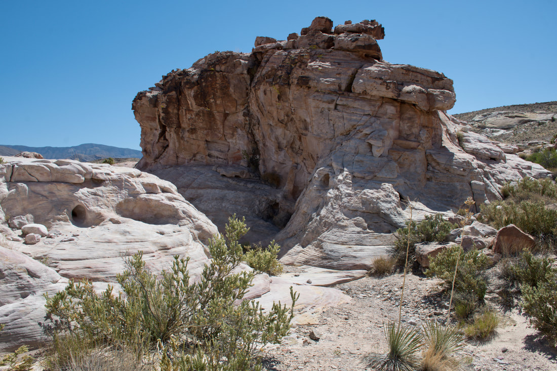
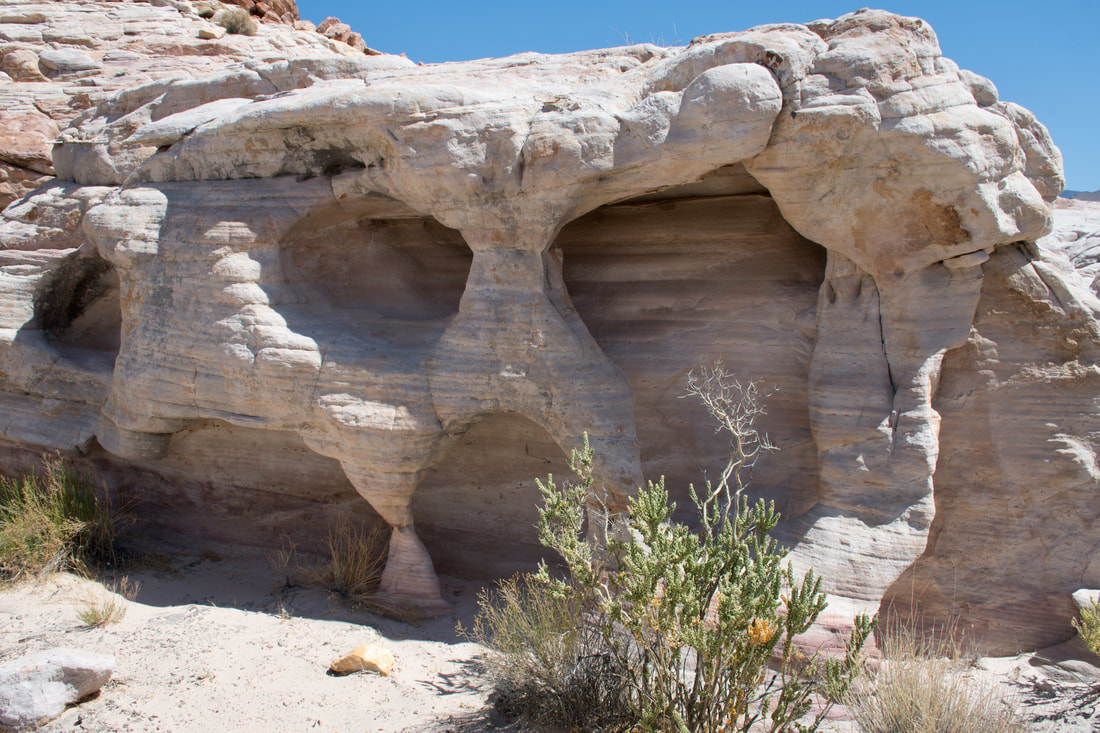
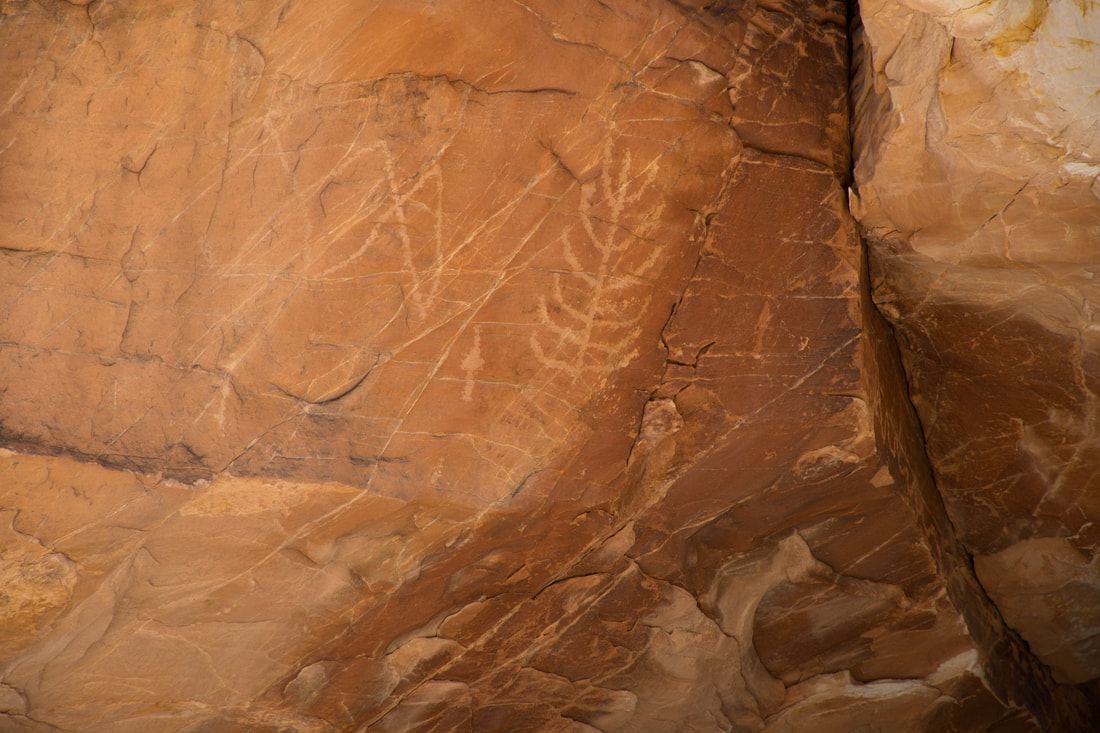
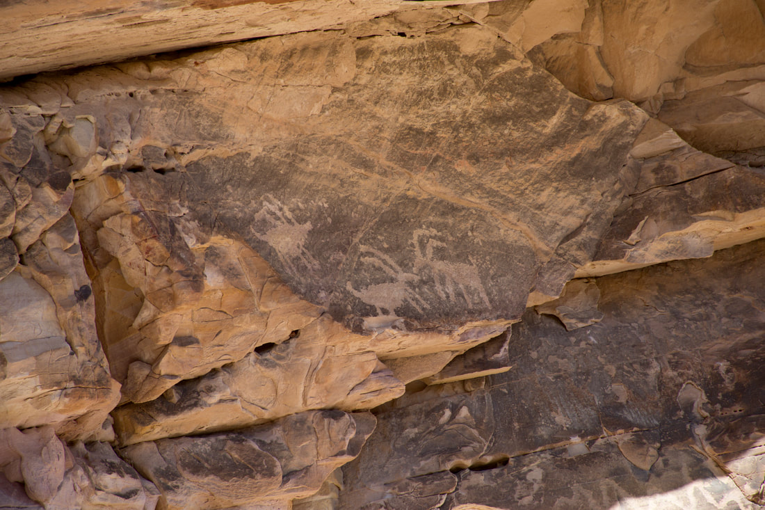
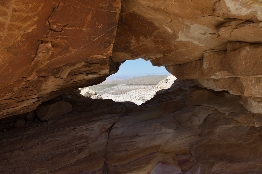
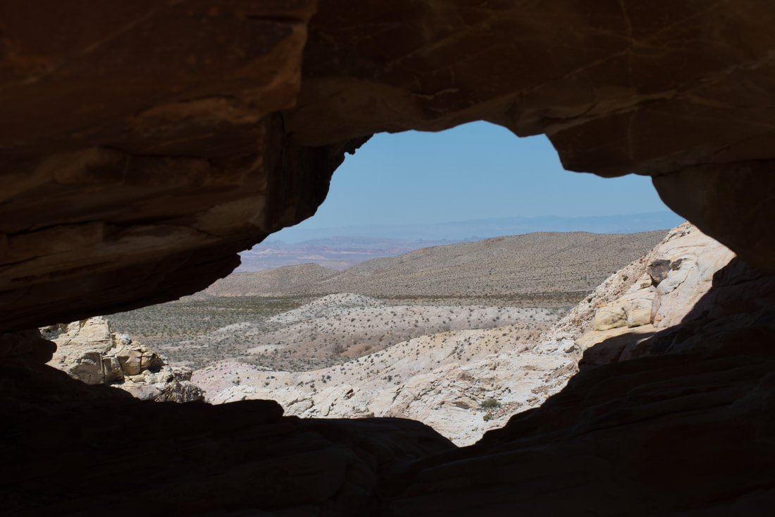
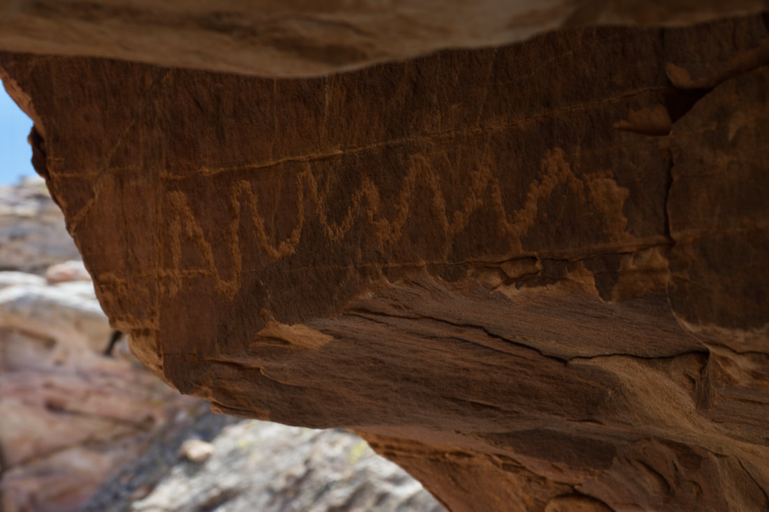
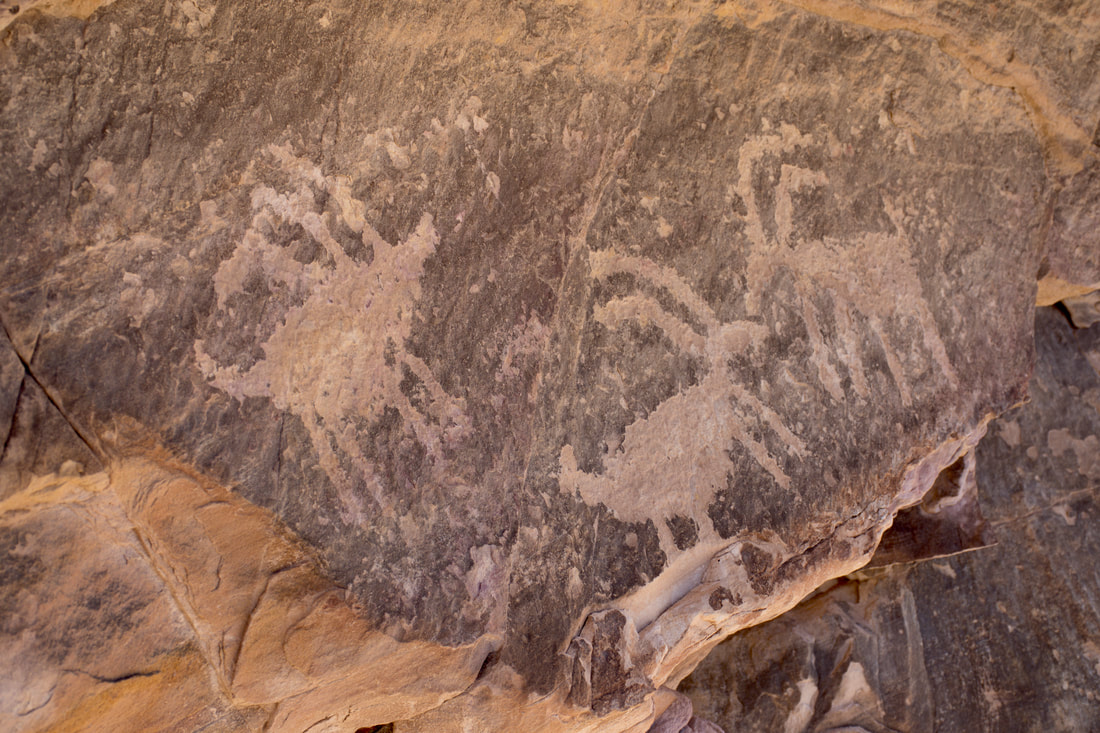
Flickr album link: Black Butte Road Petroglyphs Black Butte Road heads west off of Gold Butte Road near Whitney Pocket and the namesake landmark can be seen in the distance. Black Butte Road is a dirt road that becomes rougher the further one goes and a high ground clearance 4x4 vehicle is best for this trip. Fortunately this rock art destination is only a short distance down Black Butte Road and there is a fenced parking area at the petroglyph trailhead, which indicates that you are in the right place. Hiking to the access point from Whitney Pocket is also easy to do, but trekking anywhere in Gold Butte is best done during the cold weather seasons, since the summer temperatures can easily exceed 110ºF. Because of the remote location and the challenging rock outcrop terrain, it is best to not do this hike alone because the risk of injury is fairly high. The name of the trail system is the Black Butte Dam Loop, but a visitor does not have to do the entire lengthy hike in order to see the most popular sights. Most people are content with only doing the Falling Man Trail, which is a shorter loop that accesses almost all of the ancient rock art to be found in the outcrops near the parking area. The entire Falling Man Trail can be tackled in just a couple of hours and this includes the time it takes to ponder over the inscriptions along the way. However, there is some rock scaling and climbing involved, so going is not easy. Packing plenty of water for the hike is advisable any time of year because of the arid conditions and a hand held GPS device will come in handy. The Falling Man Trail is fairly easy to follow, but some intuition will be needed where the trail goes over the bare bedrock. Upon entry into the rock outcrops, every step will require taking a look around, because the petroglyphs will be difficult to spot at first. After the first rock art panel is noticed, it will become easier to see rest and even the solitary petroglyphs will be easier to find. Several of the petroglyph panels in this area are located in odd places and taking one's own sweet time is the best way to spot them all. It does not take long to figure out that this petroglyph area was occupied by many cultures over a long period of time. Some of the oldest sun faded eroded petroglyphs date back thousands of years. Most of the newer ones were created after a long period of severe drought that occurred about 900 years ago till just before the Europeans arrived out west. With a long timeline like this, it is easy to realize the cultural importance of this remote maze of rock outcrops, which actually resembles a natural fortress. In reality, this petroglyph area is where artisans crafted necessities and plenty of food production once took place. Yucca roasting pits can be seen all over this area, so staying on the trail is important to do, in order to preserve these archaeological sites. What this all adds up to is this remote outcrop area was occupied continually or seasonally over a very long period of time, so one can expect to see spiritual rituals as well as astronomical practices represented in the ancient rock art. Meandering through the maze of rock outcrops is what most people do. After a while it becomes easy to think that one has seen it all, then more rock art appears around the next bend in the trail. One section that many visitors miss is a feature that is known as the tunnel. The tunnel is a small passageway located high up on the face of a sandstone bluff that goes to the Falling Man Petroglyph. There are other ways to get there, but crawling through the tunnel certainly is an adventurous experience. A corn petroglyph and a string of bighorn sheep petroglyphs can be seen at the entrance to the tunnel, while a crafty snake inscription awaits inside, which also acts as an ancient warning. A cool breeze blows through the tunnel on even the hottest days and the views of the Virgin River basin are mesmerizing to see. There is a lot of ground to cover and tons of ancient rock art to ponder over along the Falling Man Trail, so it is best to break this article into two parts. What lies beyond the tunnel will be featured in an upcoming article, so be sure to stay tuned. As always, immediately report any suspicious activity or vandalism at native heritage sites and do not touch the ancient artwork!
0 Comments
Your comment will be posted after it is approved.
Leave a Reply. |
Leave no trace!
New!
Destination West YouTube channel! https://www.youtube.com/@DestinationWestOrg *The Destination West website upgrading project is well underway. Unique YouTube slideshows are replacing the outdated Flickr photo galleries. The new videos feature modern graphics and alternative music instrumentals that enhance the viewing experience. Some articles are being condensed, while others are getting much needed edits. As everybody knows, the bulk of the original articles and photos were published on the fly during the Covid camping venture and there were limitations. Upgrading is the way to go and more articles will receive a makeover each week until this project is completed. After that, I will be able to gather new material. There is light at the end of the tunnel!
JD Lane Archives
July 2024
Donations help the Destinaton West project continue into the future!
Go Fund Me! This website uses marketing and tracking technologies. Opting out of this will opt you out of all cookies, except for those needed to run the website. Note that some products may not work as well without tracking cookies. Opt Out of Cookies |
