|
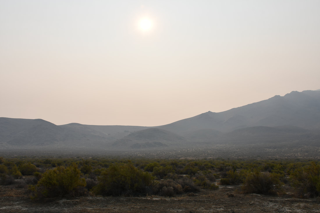
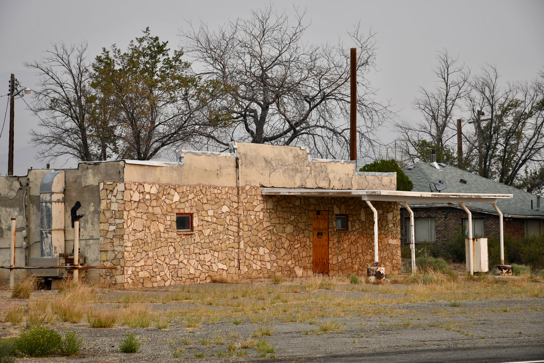
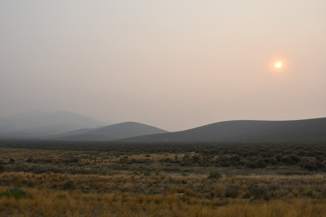
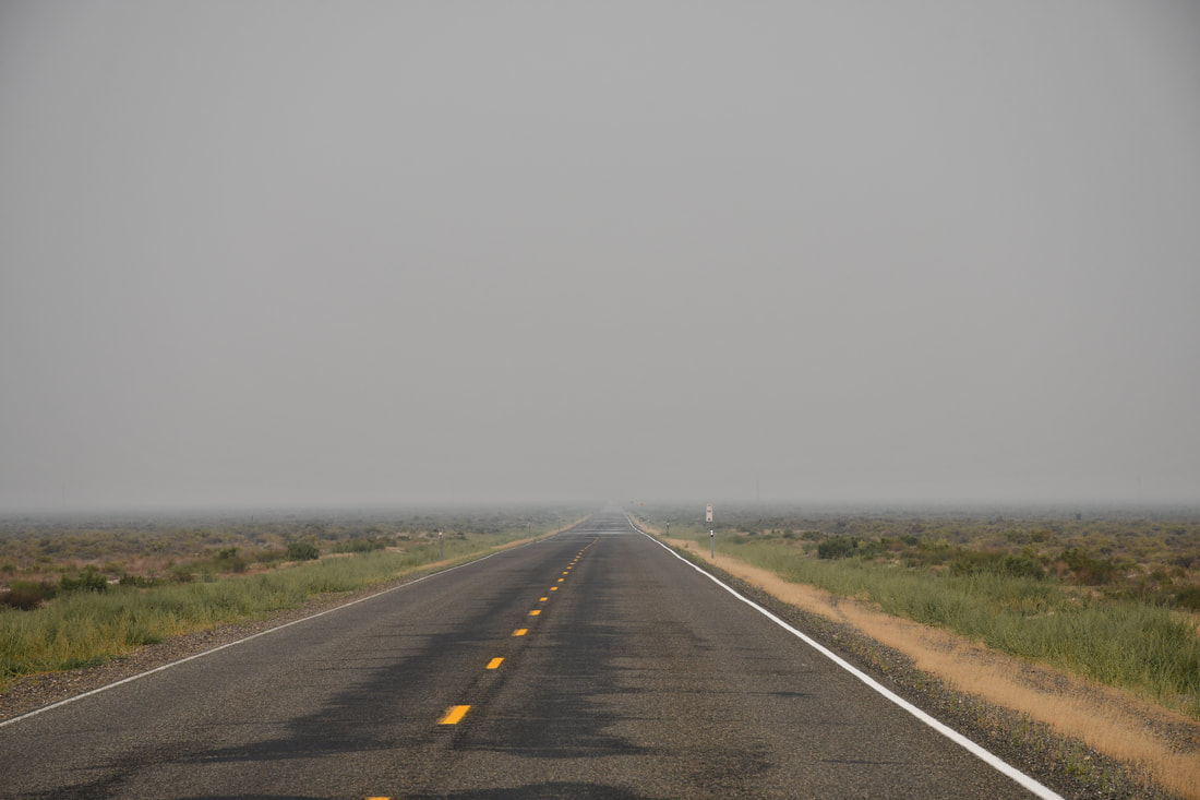
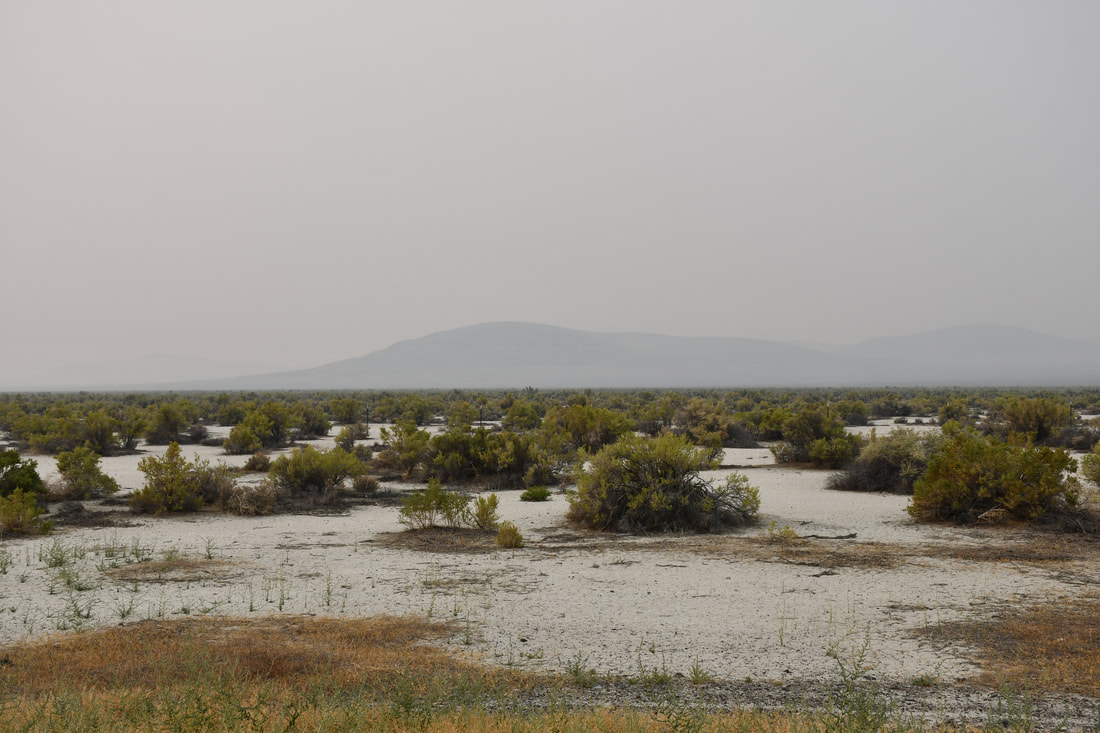
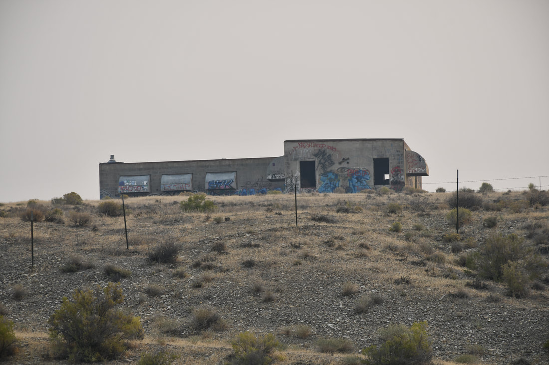
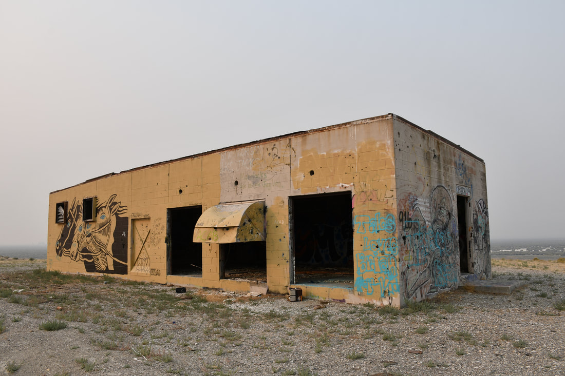
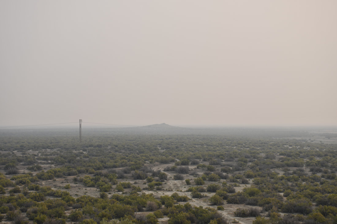
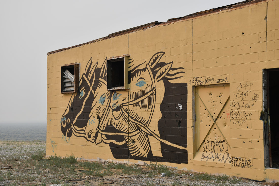
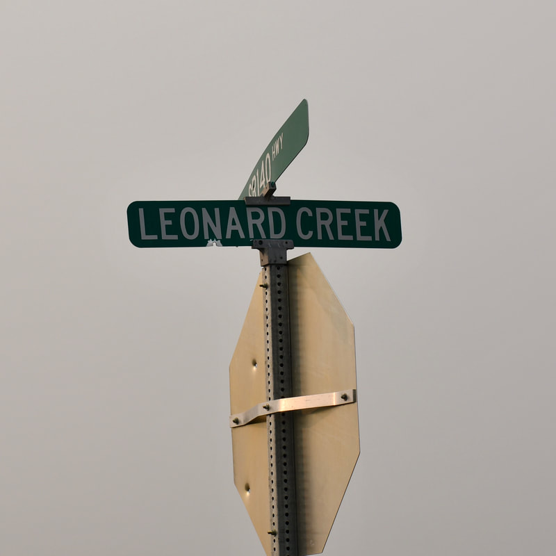
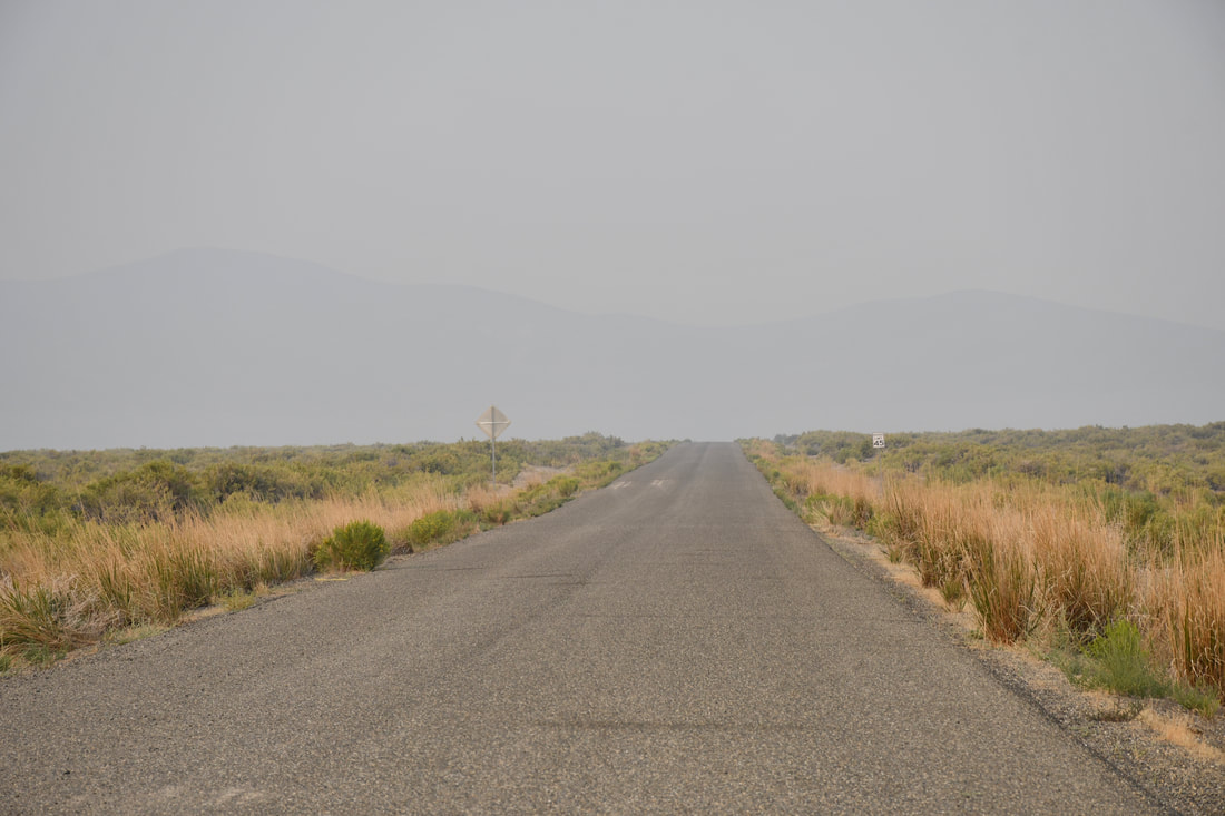
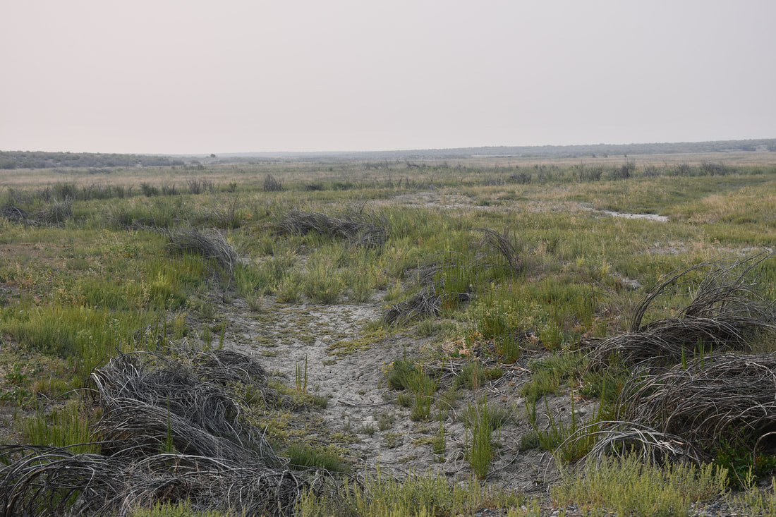
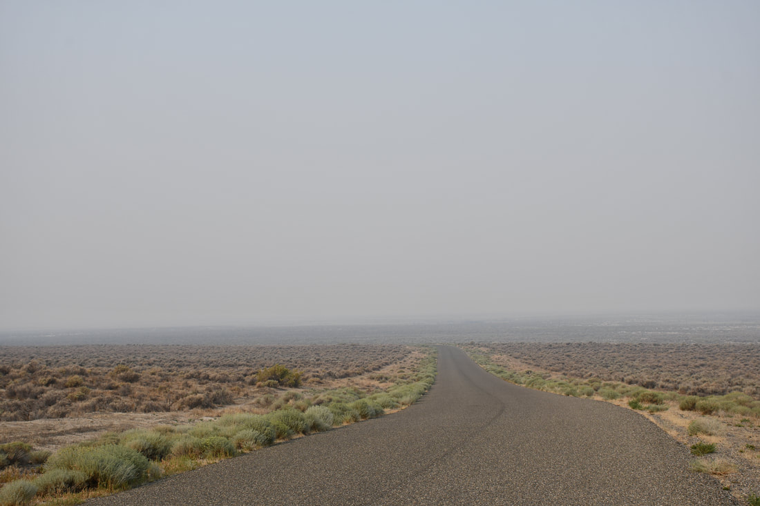
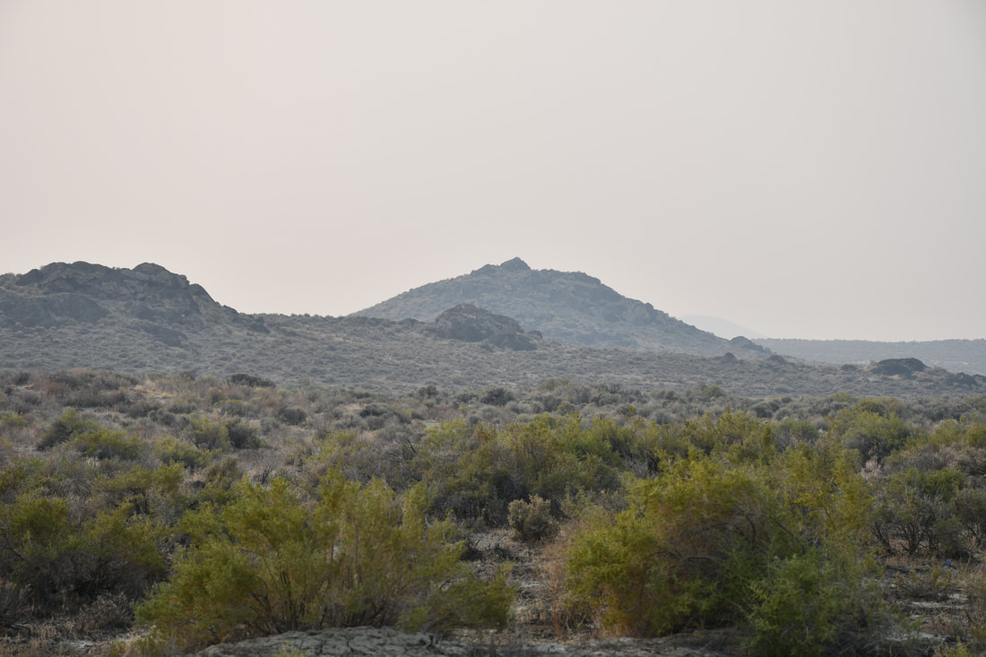
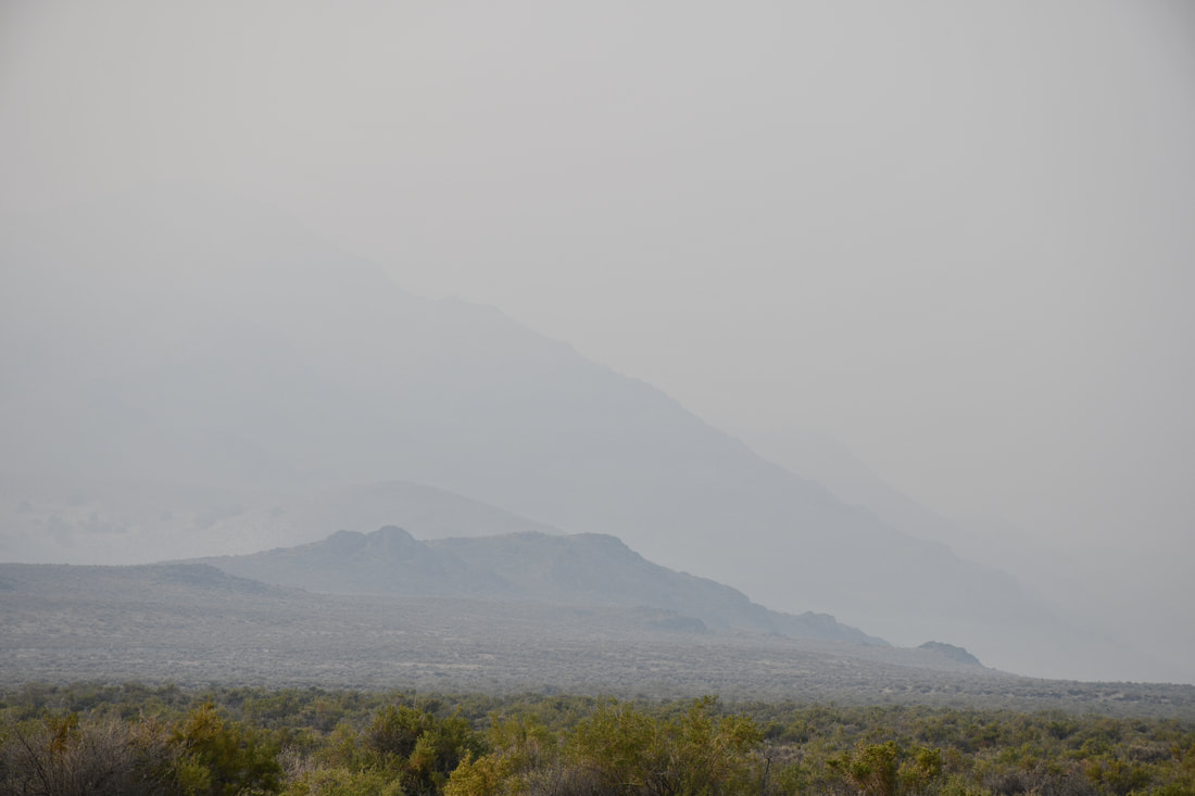
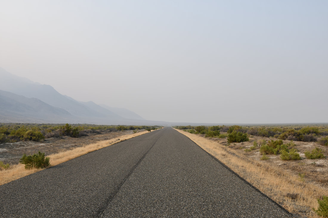
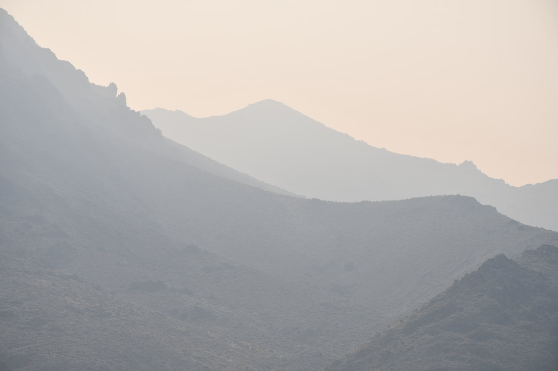
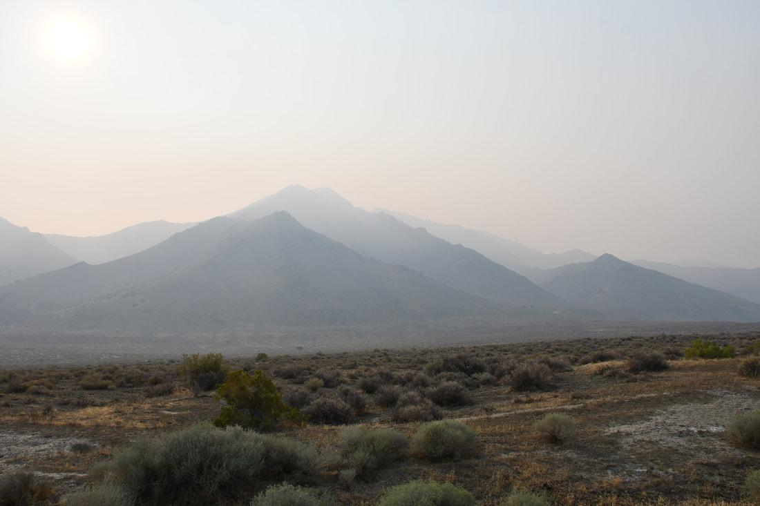
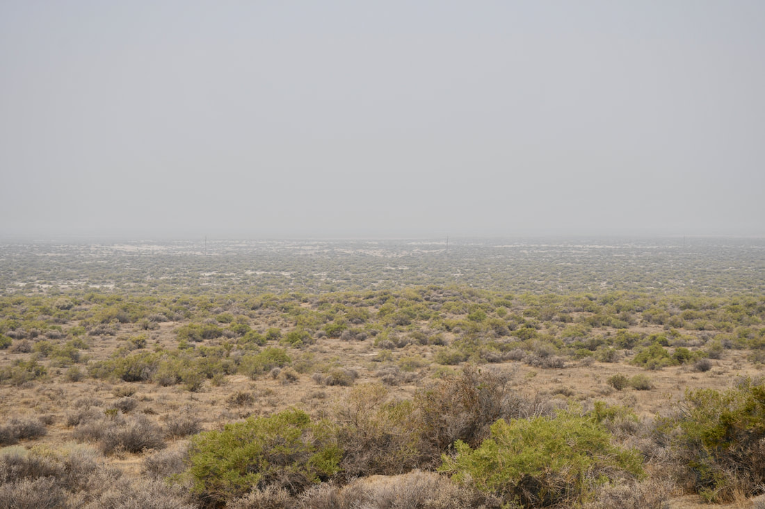
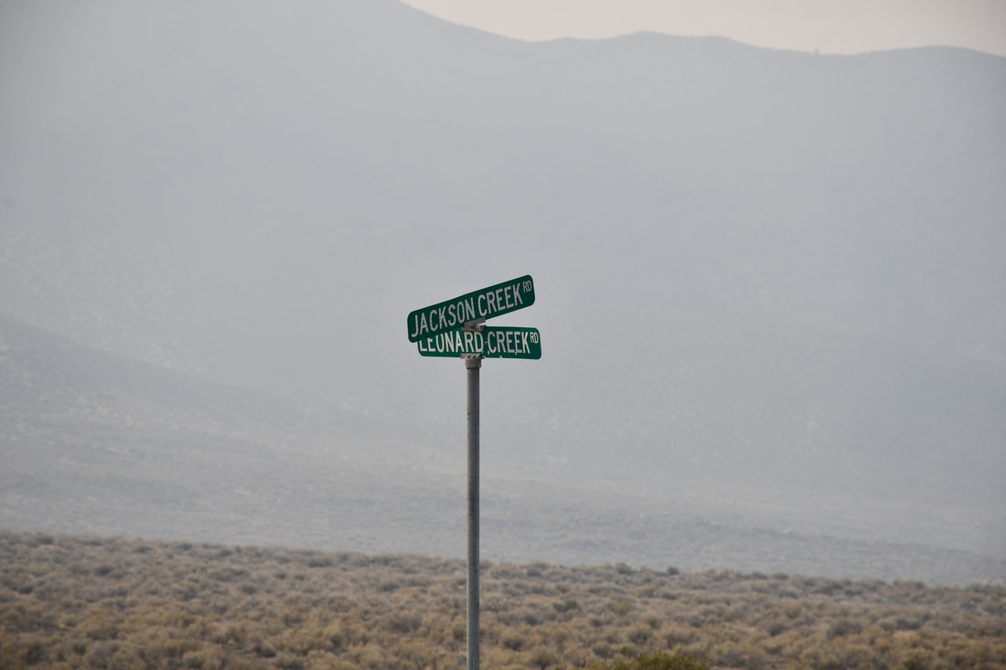
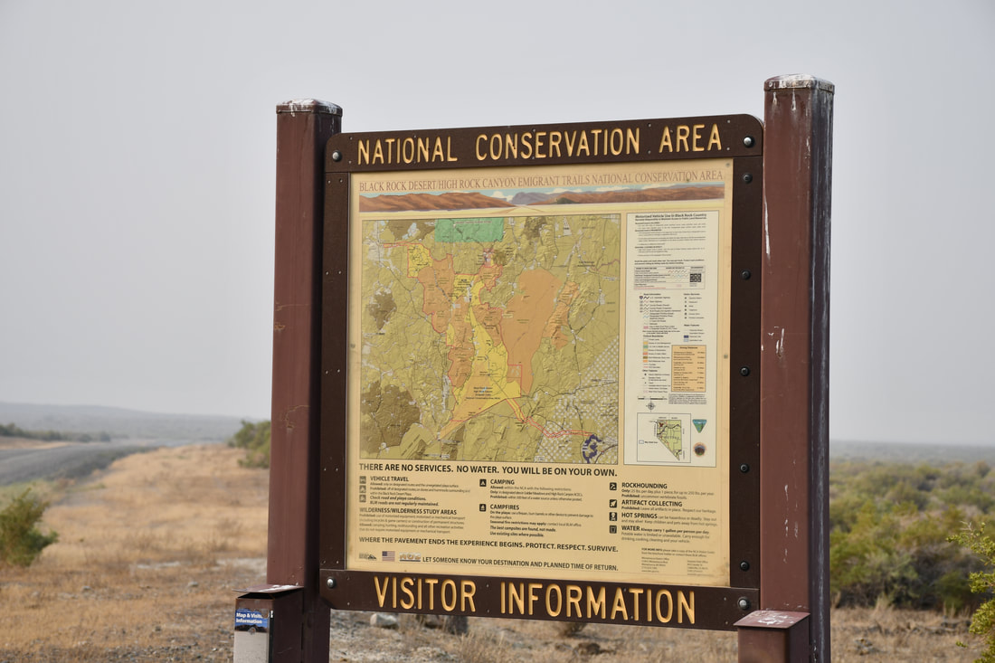
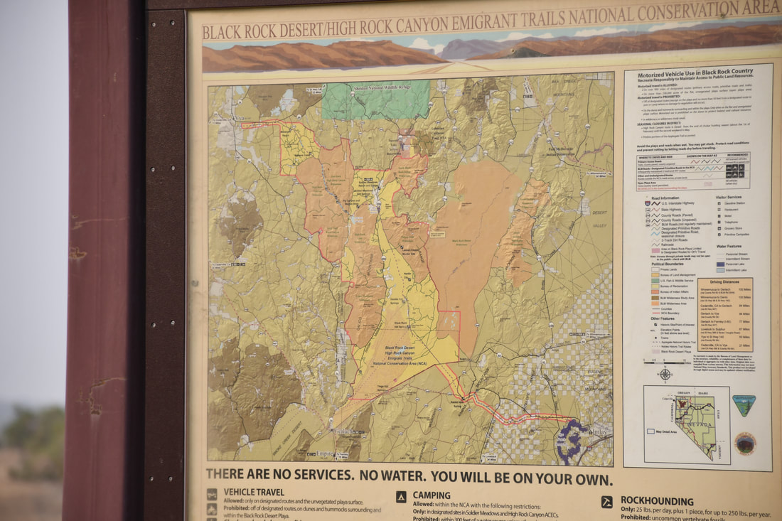
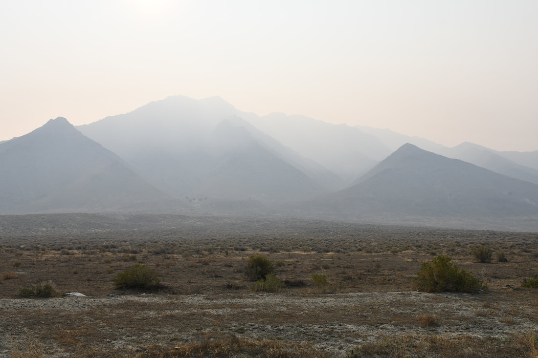
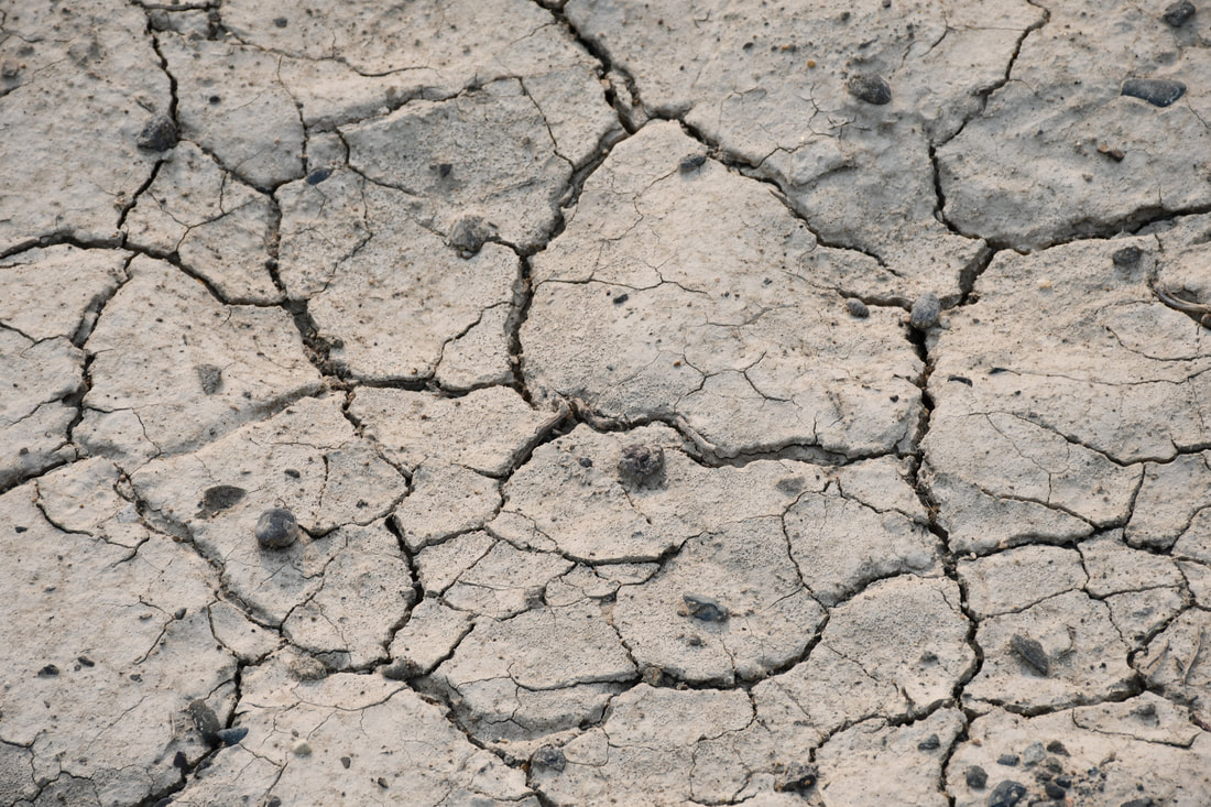
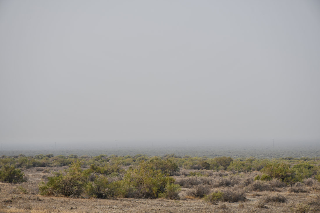
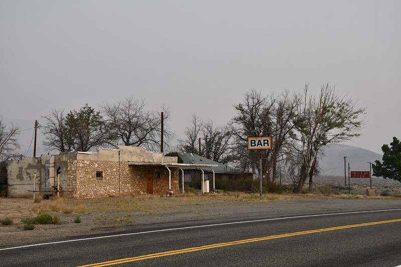
There are few places in North America that are more remote than the Black Rock Desert. In fact, most of northern Nevada barely shows up on a map, so this picturesque region is perfect for those who wish to escape from the modern world. The Black Rock Desert is as desolate as it gets, which means being well prepared for the journey will be necessary. The fuel stations and modern conveniences are few and far between, which means that stocking up on supplies before entering this unforgiving expanse is best to do. Packing extra water is advisable, since it will likely be a long wait or a very lengthy walk if a vehicle breakdown occurs. These disclaimers can easily be conquered with careful preparation, so there really is no reason to be intimidated by the harsh conditions and a journey into these parts can go off without a hitch. The Black Rock Desert-High Rock Canyon Emigrant Trails National Conservation Area is the official name of this BLM Public Lands destination. The historic Emigrant Trails runs throughout the entire west and most of these old wagon trails actually do connect the dots on the map of cities in this modern age. The Black Rock Desert trail system actually was a bottleneck of sorts, because most of the pathways head toward Reno where the infamous Donner Pass is located in the Sierra Nevada Mountain Range. Passage west is what the Emigrant Trail system achieved shortly after the initial California gold rush, so a lot of history was made in this desert expanse. The best way to experience points of interest in the Black Rock Desert-High Rock Canyon Emigrant Trails NCA is to research points of interest ahead of time, since there are no cel phone data signals to be found in this region. Plotting GPS points or highlighting the travel route on a paper map is best to do, since blindly wandering around will waste fuel. Fuel management is critical in this desert, so making a detailed travel plan is the way to go. Since this is BLM territory, camping can be done practically anywhere that has previously been occupied, which makes it easy to to pick a spot for an overnighter along the way. As can be seen in the photos, the smoke from California wildfires certainly does get thick in this end of Nevada. In fact, my brief tour of the Black Rock Desert was actually part of my 2020 California wildfire escape route going east. Thick smokey conditions are a photographer's nightmare and it is harsh on the lungs, which is something to keep in mind when making plans. For this reason, the autumn and spring seasons are best for touring this region. On my own part a return visit in better conditions is in the plans, so stay tuned for a future articles with photos that better represent this interesting remote desert wilderness area!
0 Comments
Your comment will be posted after it is approved.
Leave a Reply. |
Leave no trace!
New!
Destination West YouTube channel! https://www.youtube.com/@DestinationWestOrg *The Destination West website upgrading project is well underway. Unique YouTube slideshows are replacing the outdated Flickr photo galleries. The new videos feature modern graphics and alternative music instrumentals that enhance the viewing experience. Some articles are being condensed, while others are getting much needed edits. As everybody knows, the bulk of the original articles and photos were published on the fly during the Covid camping venture and there were limitations. Upgrading is the way to go and more articles will receive a makeover each week until this project is completed. After that, I will be able to gather new material. There is light at the end of the tunnel!
JD Lane Archives
July 2024
Donations help the Destinaton West project continue into the future!
Go Fund Me! This website uses marketing and tracking technologies. Opting out of this will opt you out of all cookies, except for those needed to run the website. Note that some products may not work as well without tracking cookies. Opt Out of Cookies |
