|
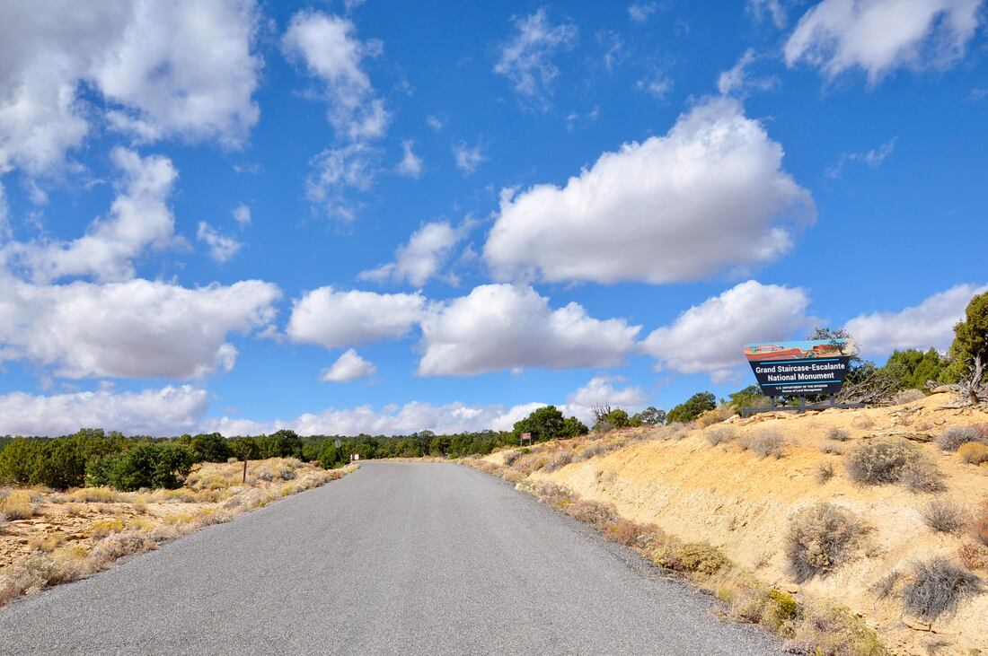
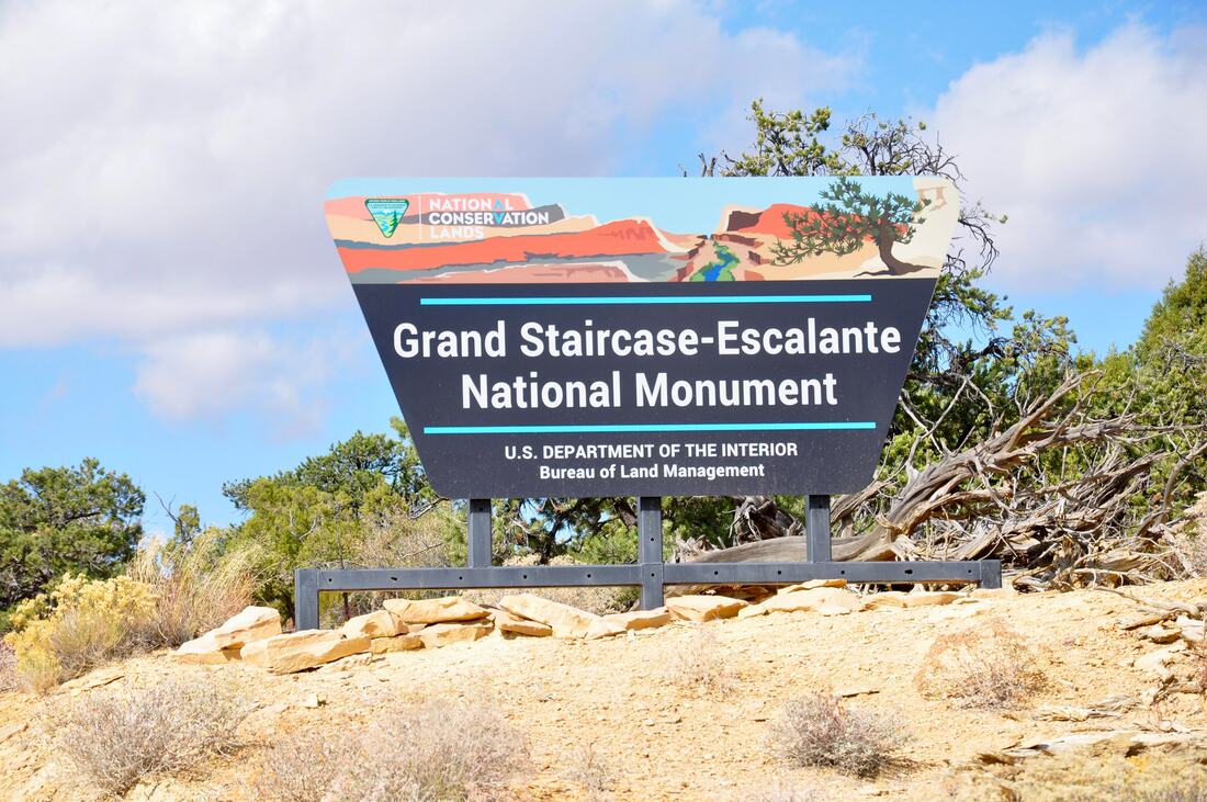
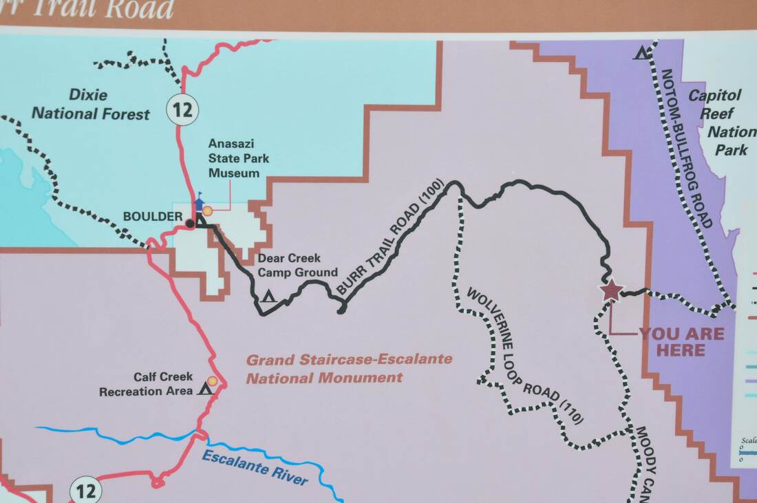
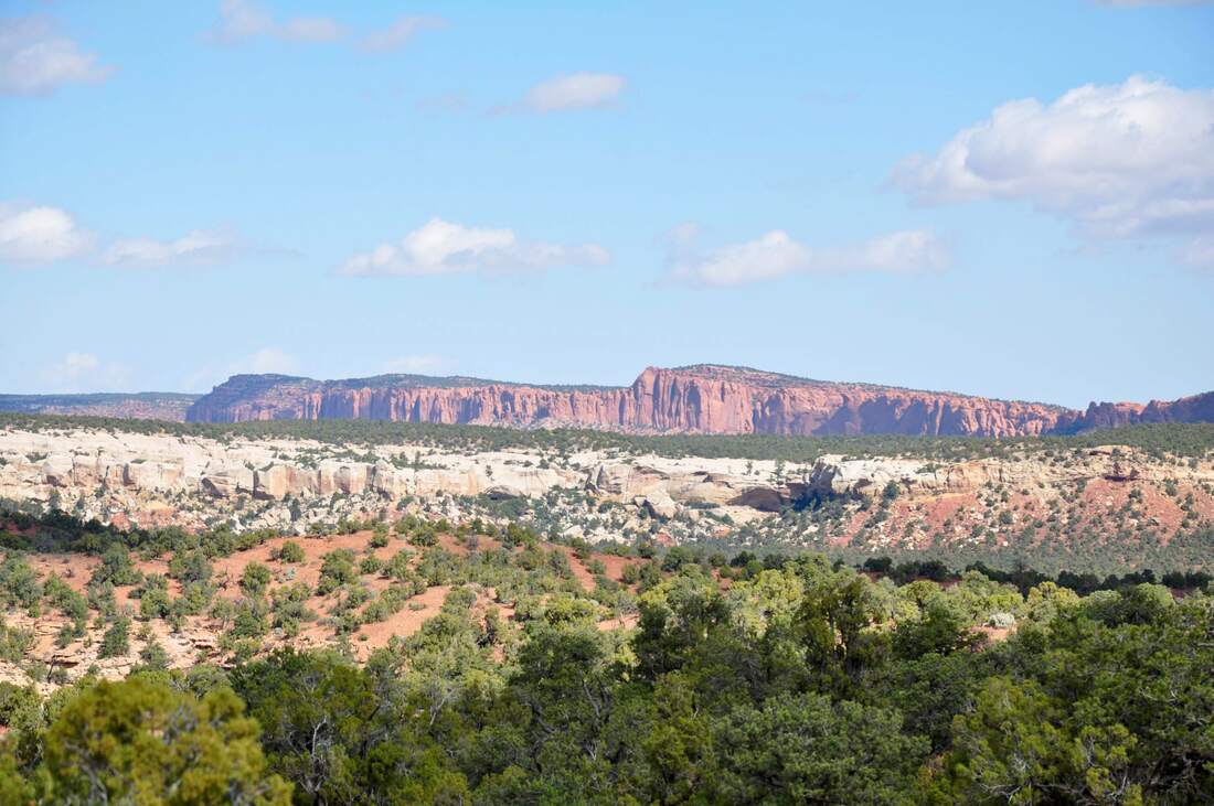
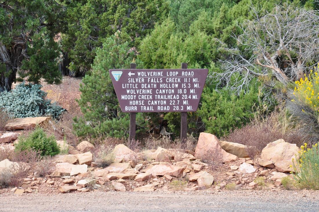
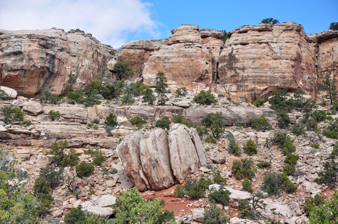
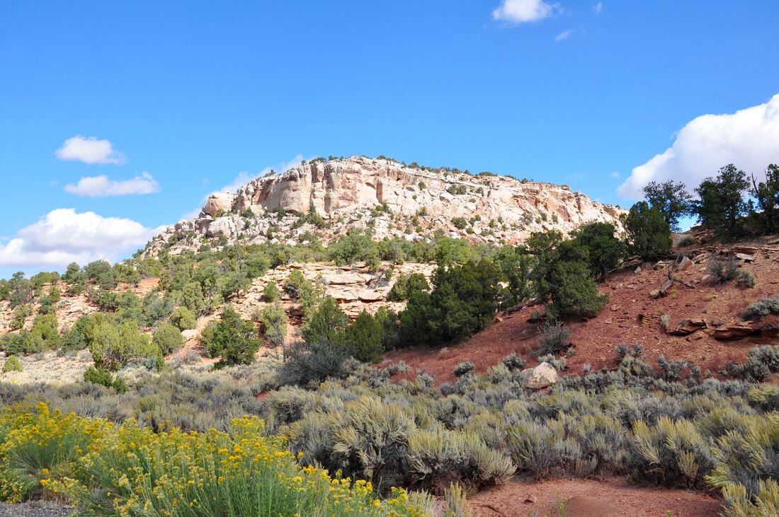
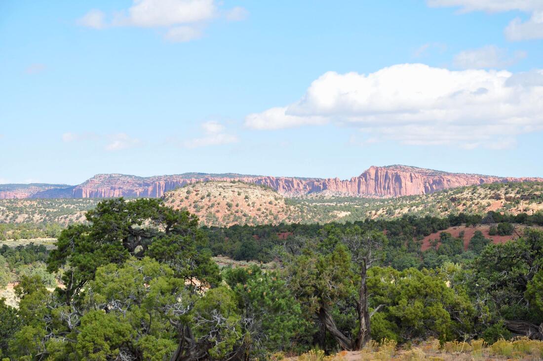
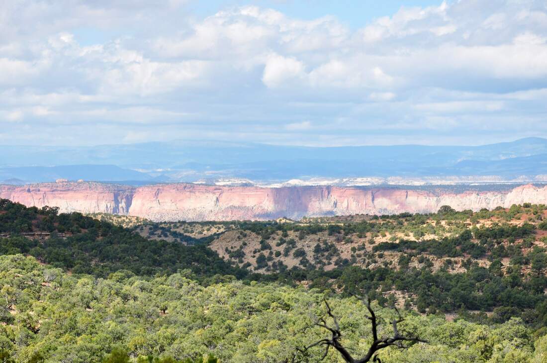
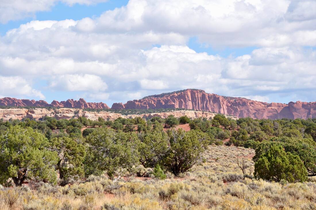
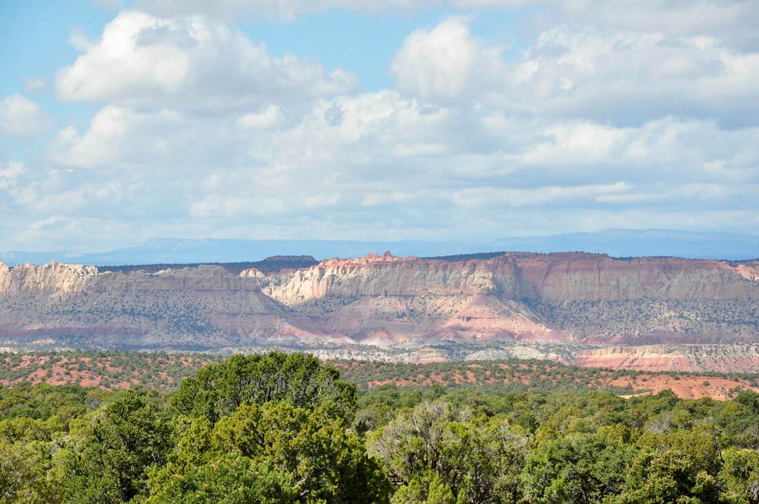
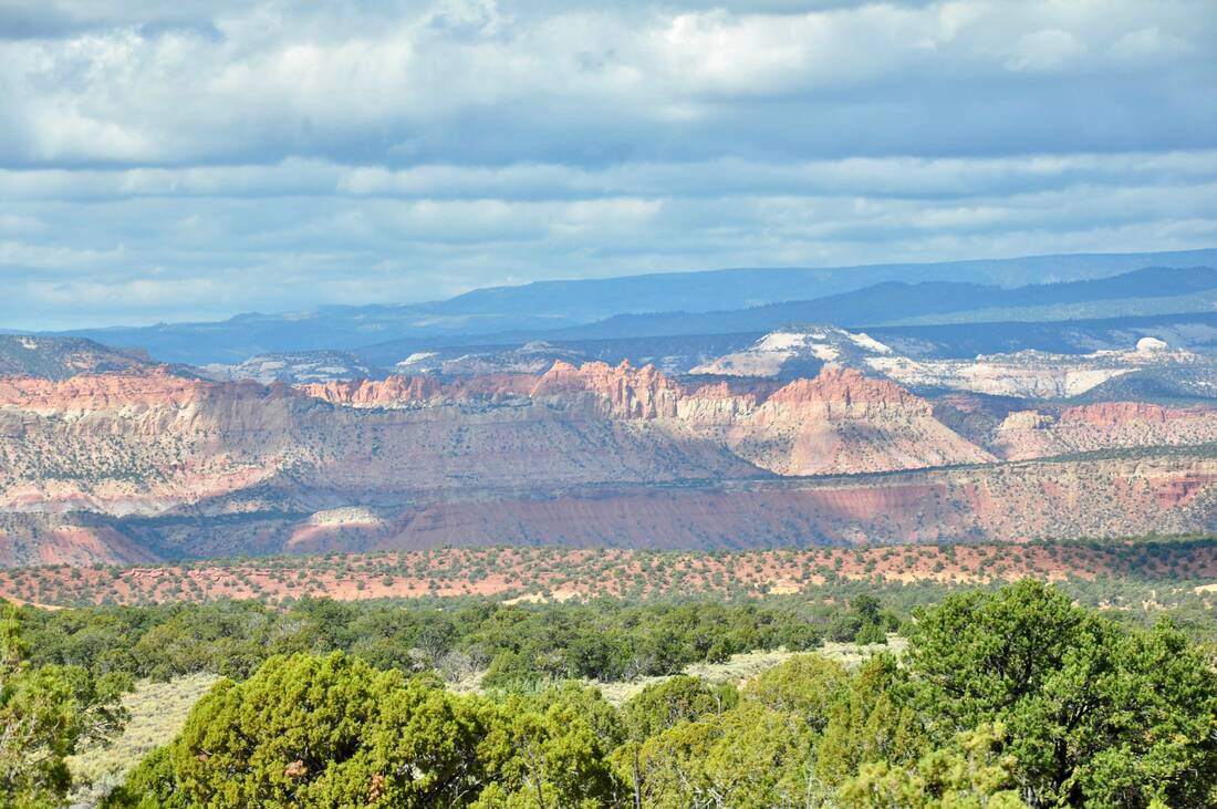
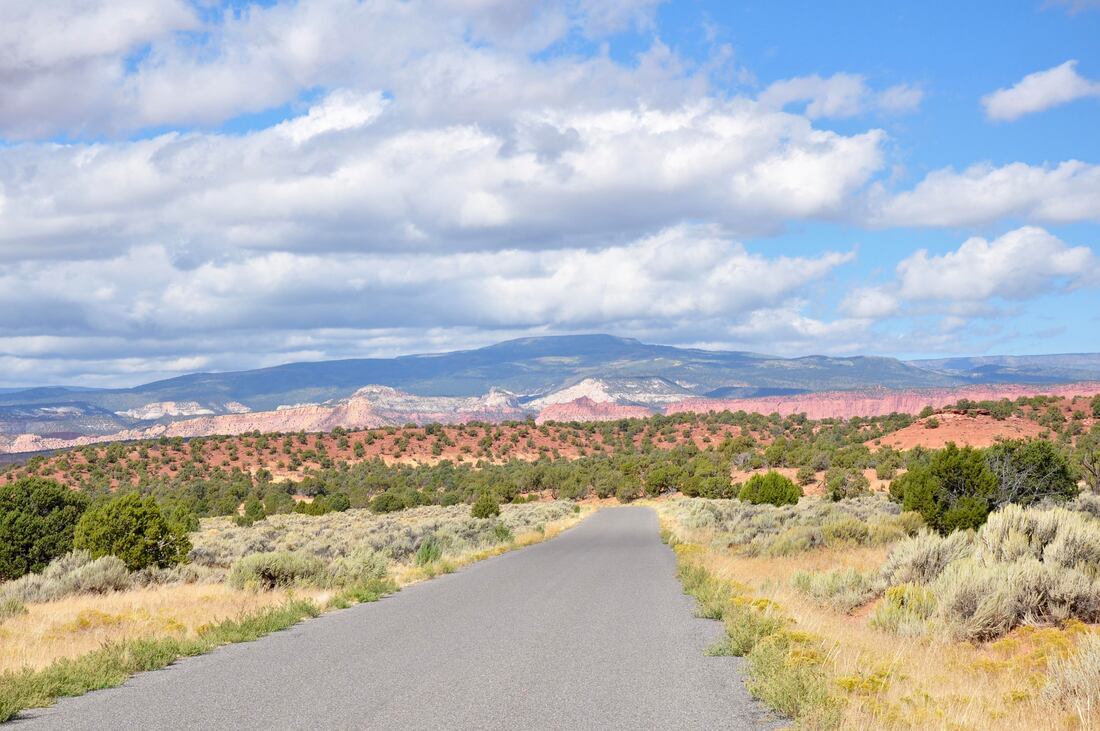
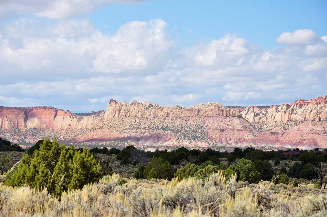
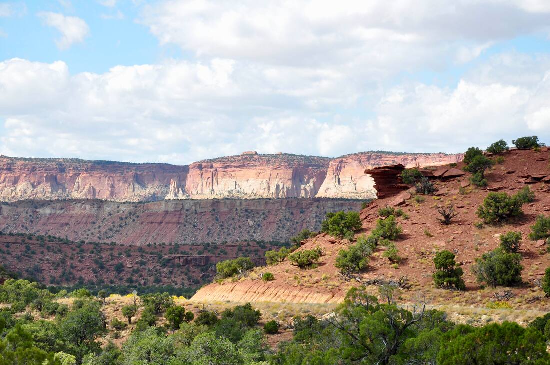
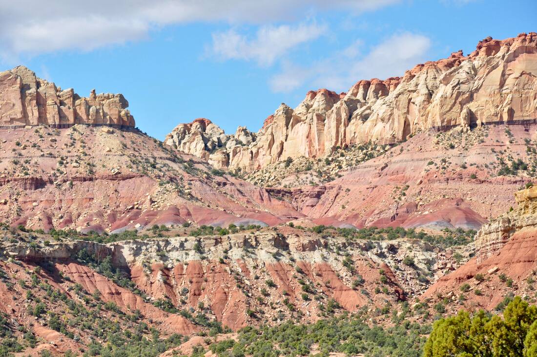
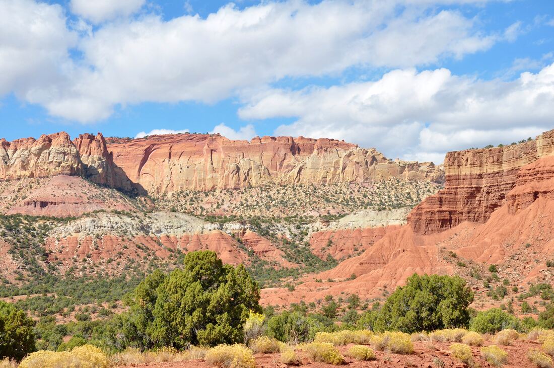
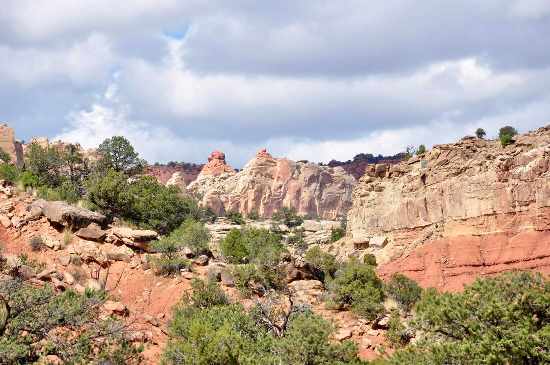
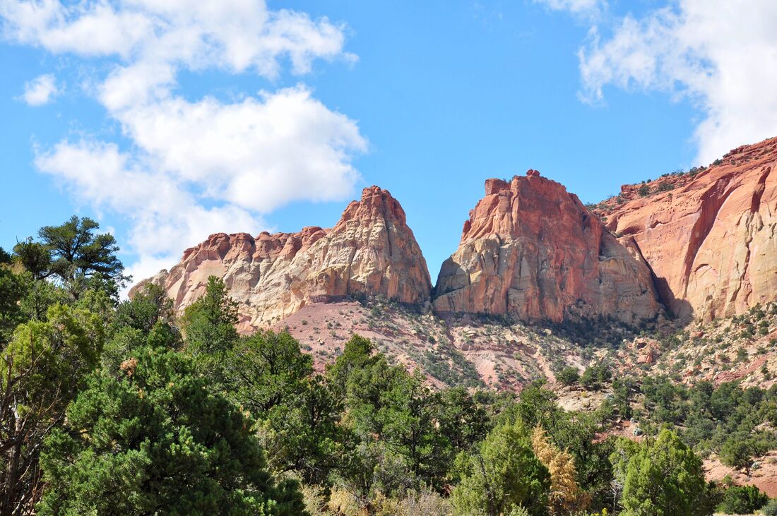
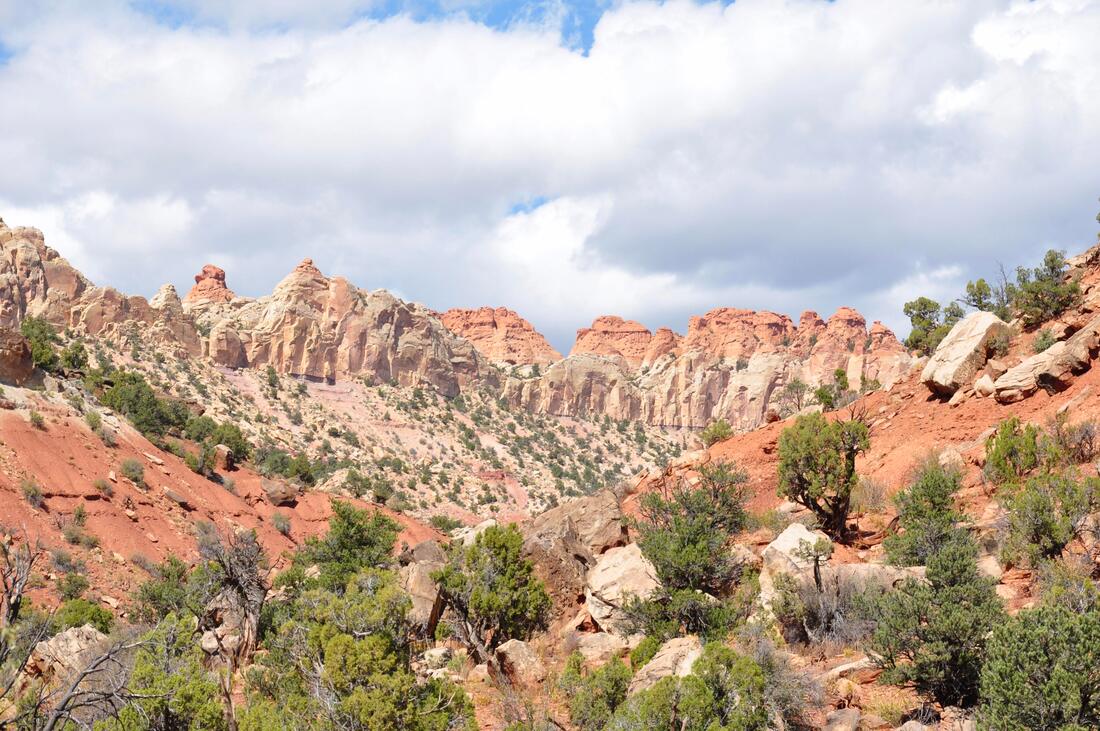
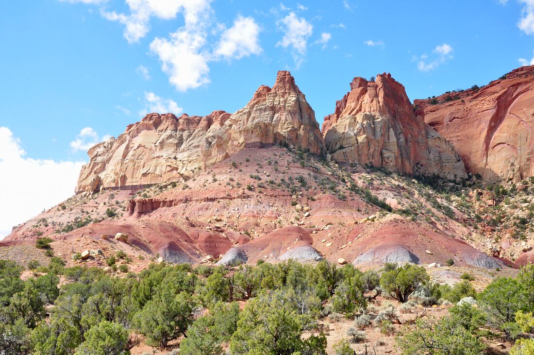
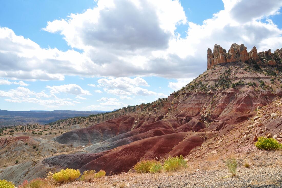
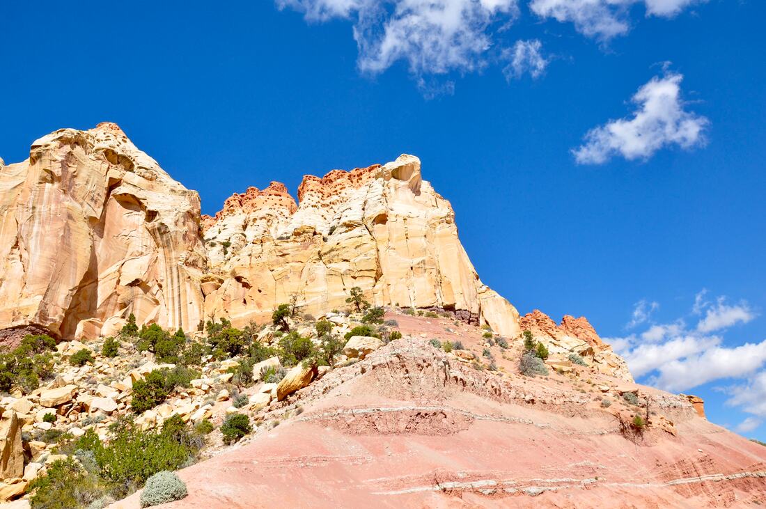
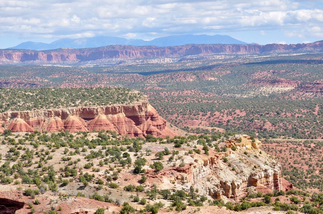
The Canyons region of Grand Staircase-Escalante National Monument is definitely one of the most picturesque places on earth! This district covers a vast amount of land and there is literally one majestic view after another awaiting to be discovered. Just like the geological term Grand Staircase suggests, this land is composed of a wide variety of colorful sedimentary and volcanic bedrock layers that rise higher the further north one goes. Eons of erosive forces have carved deep canyons and towering bluffs, which reveal the blazing colors. The Canyons region is the epitome of this colorful geological display and it easy to see why so many classic western landscape artists flock to this place. The Burr Trail runs through The Canyons back country and the best part is this long road is paved, so just about any vehicle can do the trip. The starting point for a smooth paved road venture begins in the town of Boulder on Highway 12, which is also where fuel can be found. For those who prefer to tour the back country dirt roads, the Burr Trail can be accessed from the east on Bullfrog-Notom Road, which is a very lengthy high ground clearance vehicle touring route. Taking the long way on Notom Road up and over the infamous Burr Trail Switchbacks was described in previously published articles. Be sure to take a look if you yearn to go where few others dare to venture, because the paved section of the Burr Trail ends at the switchbacks and this is where the passenger cars and RV campers are all left behind! From the switchbacks going west, the Burr Trail first weaves its way through some of the most colorful bluffs in the entire west. This section of road is a visual experience like no other and there are plenty of geological oddities to scratch the noggin over too. There are a few other worldly looking hoodoos that are easy to miss when passing through, because they blend in with the other bright colors that easily overwhelm the senses. It is best to take it slow through this area so it all can be taken in and also because there are gaps between the outcrops that present panoramic distant views that a landscape artist would truly marvel over. How the Long Canyon got its name will become obvious even before entering this geological feature. This canyon is fairly narrow and it is hemmed in by towering sheer vertical red rock bluffs on one side, while the other side harbors the colorful eroded bluffs, sparsely forested hills and a few open spaces where the views stretch far into the horizon. Long Canyon goes downhill on the way to Deer Creek and when standing at the starting point, this red rock canyon is so lengthy that it actually disappears in the distance. A slow ride through Long Canyon is guaranteed to be a visual experience worth remembering, so be sure to bring a good camera along for the ride!
0 Comments
Your comment will be posted after it is approved.
Leave a Reply. |
Leave no trace!
New!
Destination West YouTube channel! https://www.youtube.com/@DestinationWestOrg *The Destination West website upgrading project is well underway. Unique YouTube slideshows are replacing the outdated Flickr photo galleries. The new videos feature modern graphics and alternative music instrumentals that enhance the viewing experience. Some articles are being condensed, while others are getting much needed edits. As everybody knows, the bulk of the original articles and photos were published on the fly during the Covid camping venture and there were limitations. Upgrading is the way to go and more articles will receive a makeover each week until this project is completed. After that, I will be able to gather new material. There is light at the end of the tunnel!
JD Lane Archives
July 2024
Donations help the Destinaton West project continue into the future!
Go Fund Me! This website uses marketing and tracking technologies. Opting out of this will opt you out of all cookies, except for those needed to run the website. Note that some products may not work as well without tracking cookies. Opt Out of Cookies |
