|
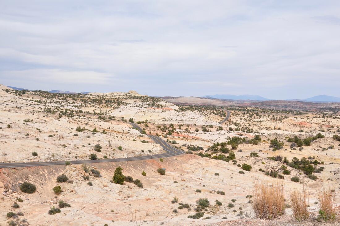
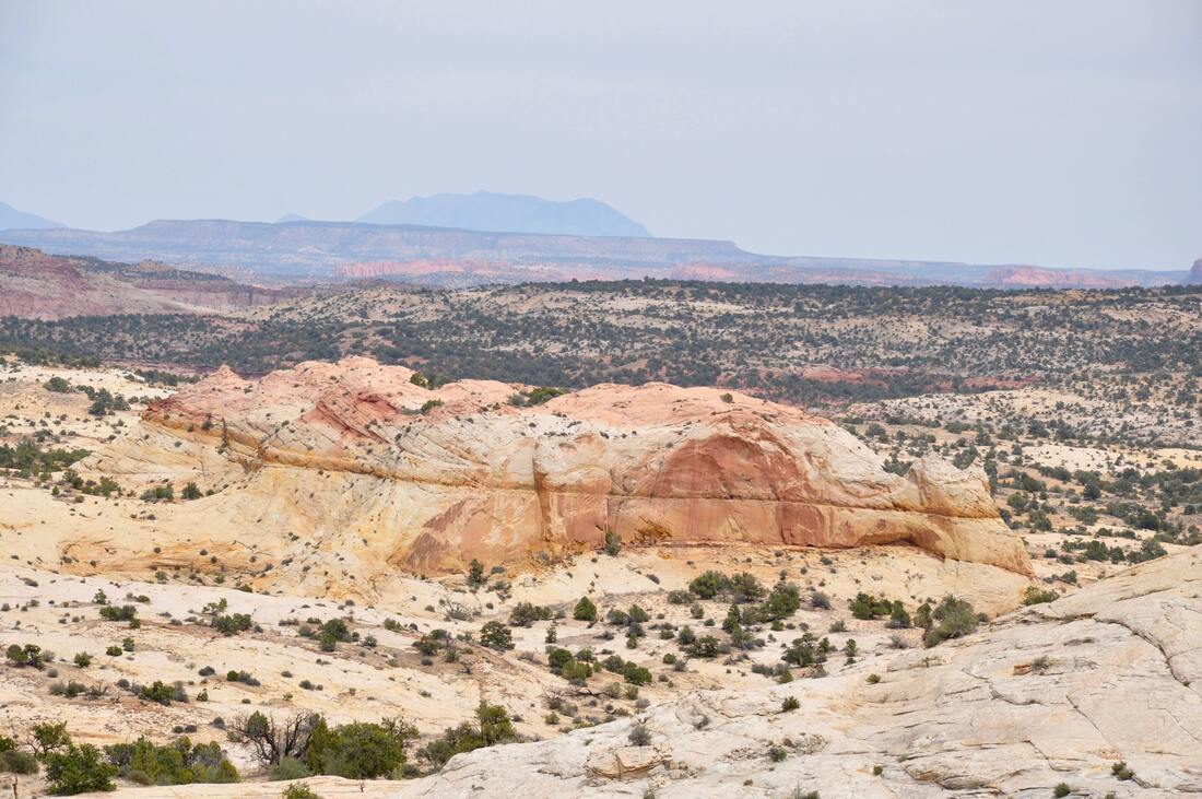
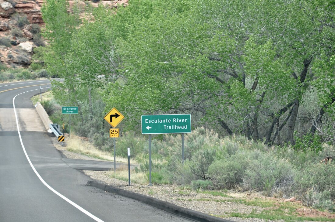
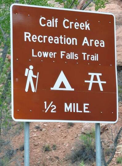
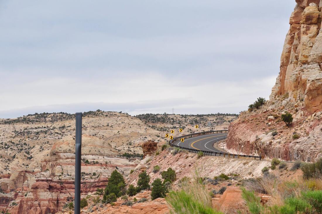
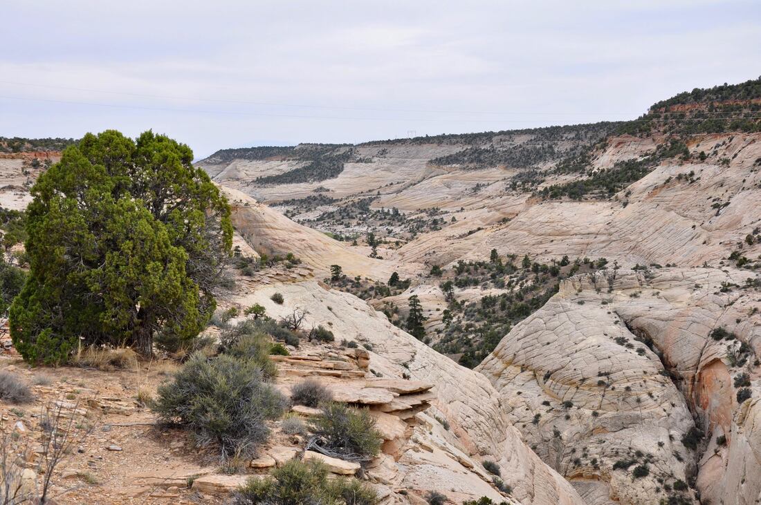
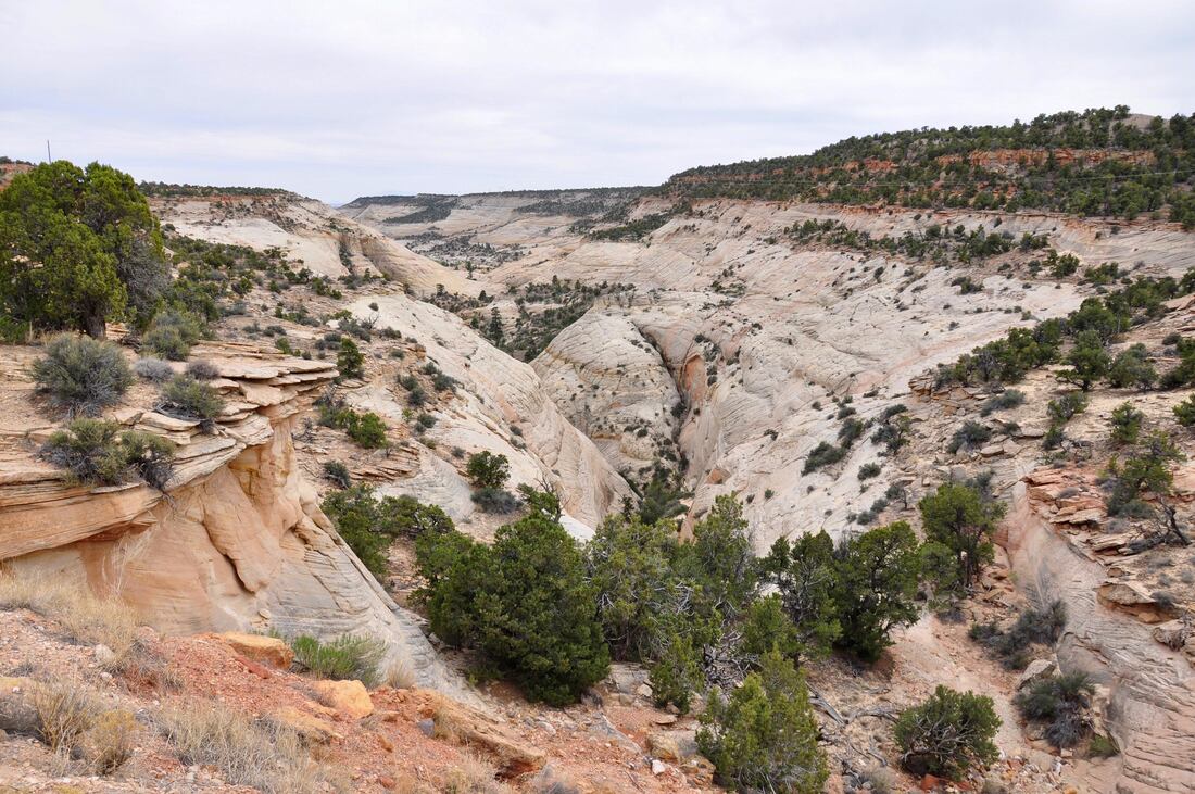
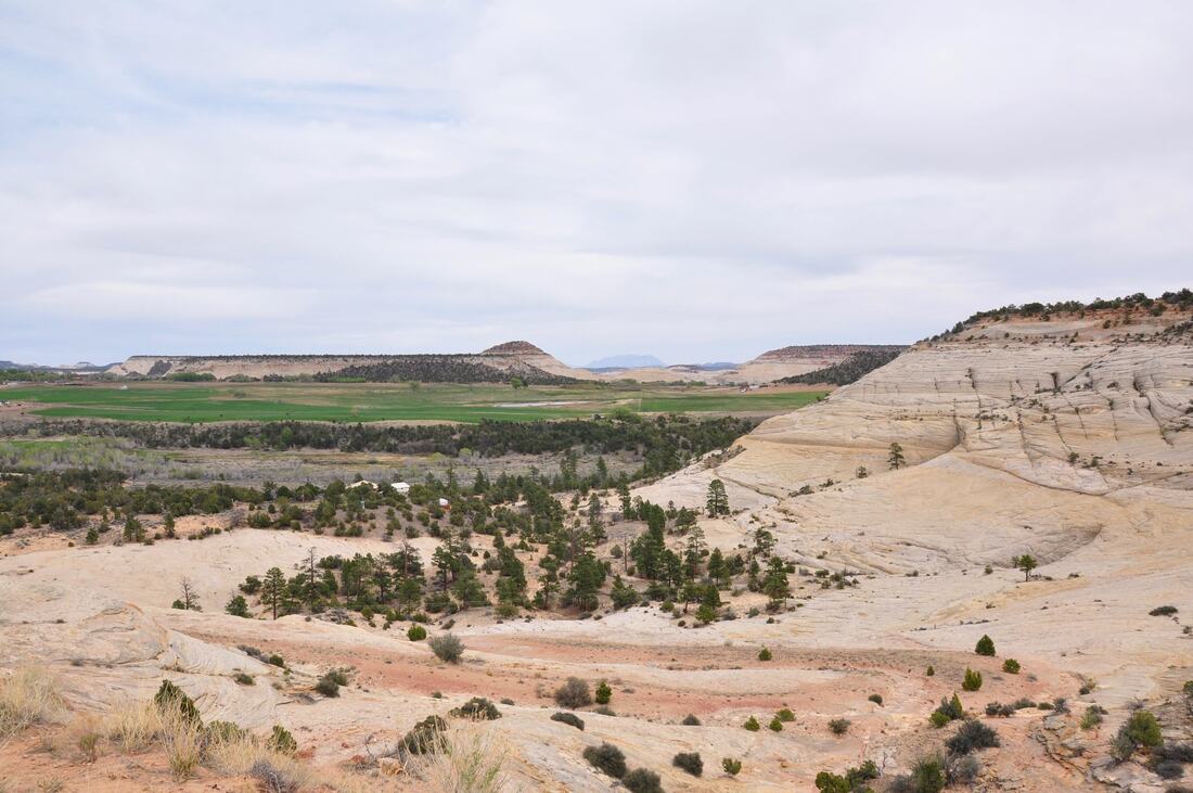
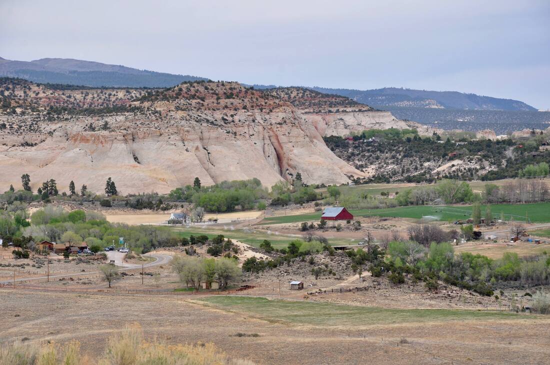
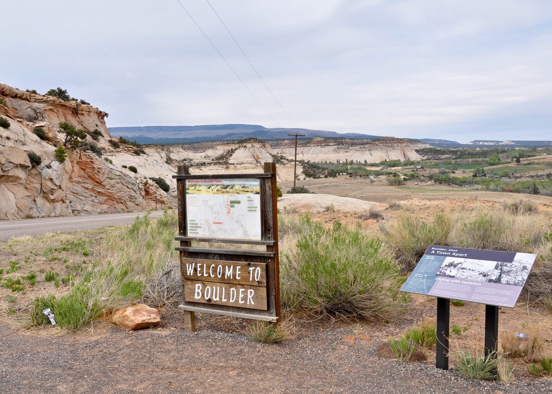
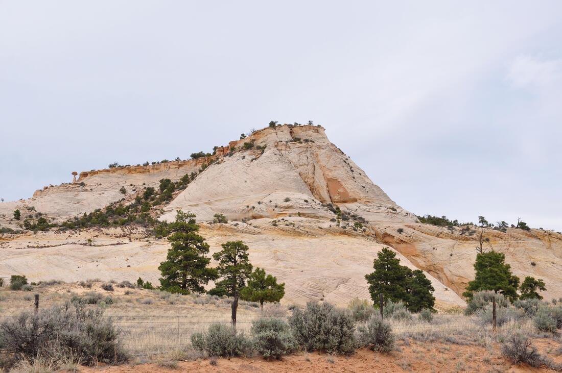
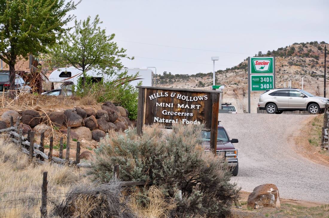
Just as the geological term staircase suggests, distinct layers of a variety of rock strata ascend to a higher elevation in the Grand Staircase-Escalante National Monument. As the edge of each rock strata layer erodes, it becomes another step or tier in the Grand Staircase. The lowest tiers of the Grand Staircase are located in the south end of the park close to the Grand Canyon. The Vermillion Cliffs National Monument actually is part of the first tier and the steps continue to rise to higher elevations going north to the apex near Utah Scenic Byway 12. Since the landscape along Utah SR 12 is the top of the staircase, it is easy to imagine that this section has some of the strangest geological features in this National Monument. In some parts of Escalante the distance can be many miles between each rock strata tier and the ascent is gradual. In other places the rock strata layers are spaced closely together and the rate of ascent is nearly vertical. Each rock layer in the Grand Staircase has a different texture that erodes at a different rate, so each view becomes a study. In some places, large portions of a step in the staircase have vanished because of erosion over eons of time, which exposes a tier that may contain fossils from an age when the dinosaurs roamed in the lush forested swamps. Grand Staircase-Escalante contains thousands of dinosaur fossils and the discoveries have established evolutionary timeline benchmarks that bridge gaps on a grand scale. As can be imagined, the Grand Staircase-Escalante National Monument is like a dream come true for any geologist, anthropologist or archaeologist that sets sail to this destination. For those who simply want to admire the beauty of this majestic place, the Canyons Region of Grand Staircase-Escalante certainly will fit the bill of fare! The Canyons Region truly is amazing to see! The Canyons section of the park is located between the towns of Escalante and Boulder along Utah Scenic Byway 12. Beyond Boulder, the Canyons section also extends about halfway to Capitol Reef along the Burr Trail. Towering eroded red sandstone cliffs, mountains, petrified ancient sand dunes, deep river gulches and more hidden pocket canyons than can be counted is what can be seen in this section of the park. A visitor can spend a few days hiking over the hard bedrock ground in this desolate canyon riddled badlands area and only see a small portion of what lies in store. There are plenty of hidden pocket canyons that have lush green micro-environments that can be compared to paradise lost. These cool pristine places are just waiting to be discovered when doing a hike, but it is best to be well prepared for such an excursion because The Canyons is such an unforgiving dangerous place. The drive on Utah SR 12 through the Canyons Region is a hair raising experience and it is considered to be one of America’s most dangerous rides. The Hogback is a famous section of SR 12 that goes over the top of a very narrow ridge line and the cliffs go straight down next to the edge of the pavement on both sides of the road. The Hogback is where passengers often cover their eyes and start praying, while a driver’s knuckles will turn white from gripping the wheel! Even worse, there is an alternate route through The Canyons that is even more scary. Before SR 12 was built, the old route from the town of Escalante to Boulder used to be the Hell’s Backbone, which was a very dangerous road that now serves as a thrilling Jeep trail in modern times. Both of these thrill ride roads go through The Canyons section and there actually are bars in the town of Boulder that advertise stiff drink specials for those who survive the trip! Those who drive a fast car or motorbike will relish the thought of driving on the challenging roads in The Canyons section, while the folks that drive land yacht RVs know full well that they will have their hands full of difficult situations on the steep winding road. It is best to drive carefully in this region, because one small mistake can result in tumbling hundreds of feet down into a canyon below and a rescue will likely not happen anytime too soon. There are plenty of scenic overlooks along the road that help to ease the tension of the difficult drive, so be sure to plan on spending some extra time when passing through. There are some green lush riverside campsites and recreation areas in The Canyons Region of Escalante. The Escalante River Recreation Area and the Calf Creek Campground are popular spots that fill up fast during the summer season and the happy campers are in no hurry to leave, so finding a campsite here may be difficult to do. The closest town is Boulder, Utah, which is located at the northern edge of the National Monument on Scenic Byway 12. Boulder offers lodging, campgrounds, RV parks, a State Park, museums and of course, strong alcoholic beverages for settling the nerves after he harrowing trip! Campsites can also be found in the neighboring Fish Lake National Forest, so if the the Calf Creek campsites in the National Monument are full, there are other options nearby. Just like with so many scenic destinations in Utah, the Grand Staircase-Escalante National Monument has a way of calling visitors back to experience more. The photos were from my second tour through this region and the trip was just as thrilling as the first time around. Unfortunately, the recent political corruption threatening these public lands did cloud the thoughts a bit during the second trip, especially since the skies were gloomy that day. One of the means for combatting threats to public lands is to promote tourism in order to raise awareness. Supporting the local tourism related businesses and tribal trading posts by purchasing a memento of the journey goes a long way in the effort to protect majestic places. Sharing photos of the journey spreads awareness too. It goes without saying, planning a vacation trip to Grand Staircase-Escalante National Monument will help the cause and in return, a visitor can enjoy one of the very last unspoiled wilderness areas left on earth, which is also happens to be one of the strangest landscapes on this planet. Just like a staircase in a big city, the Grand Stair-Escalante sure does have a way of coaxing visitors to take one more step up to see what lies in store on the next tier above. There is only so much that can be seen from the paved highway and it takes a 4×4 high ground clearance vehicle to get to 75% of this vast wilderness area. Horseback riding and hiking are green options, but careful planning must be done before setting out on foot. Those who are interested in doing a 4×4 excursion can find rentals in the gateway towns that surround this National Monument. For hikers, The Canyons is a great place for a venture, because this section is not accessible by 4×4 or horseback. Only those who set out on foot will be able to explore the many hidden pocket canyons in this rugged solid bedrock wilderness area, so peaceful solitude is easy to find!
0 Comments
Your comment will be posted after it is approved.
Leave a Reply. |
Leave no trace!
New!
Destination West YouTube channel! https://www.youtube.com/@DestinationWestOrg *The Destination West website upgrading project is well underway. Unique YouTube slideshows are replacing the outdated Flickr photo galleries. The new videos feature modern graphics and alternative music instrumentals that enhance the viewing experience. Some articles are being condensed, while others are getting much needed edits. As everybody knows, the bulk of the original articles and photos were published on the fly during the Covid camping venture and there were limitations. Upgrading is the way to go and more articles will receive a makeover each week until this project is completed. After that, I will be able to gather new material. There is light at the end of the tunnel!
JD Lane Archives
July 2024
Donations help the Destinaton West project continue into the future!
Go Fund Me! This website uses marketing and tracking technologies. Opting out of this will opt you out of all cookies, except for those needed to run the website. Note that some products may not work as well without tracking cookies. Opt Out of Cookies |
