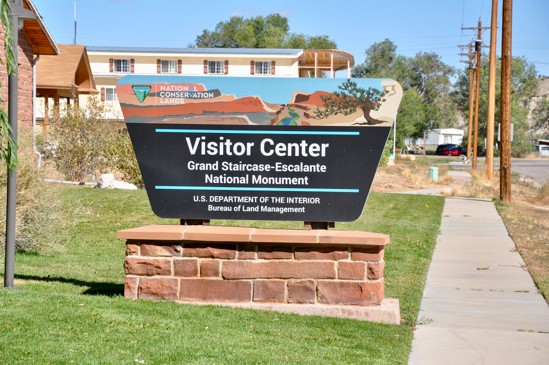
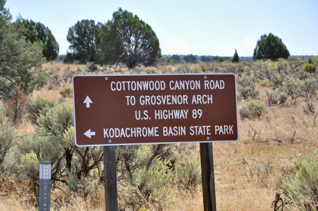
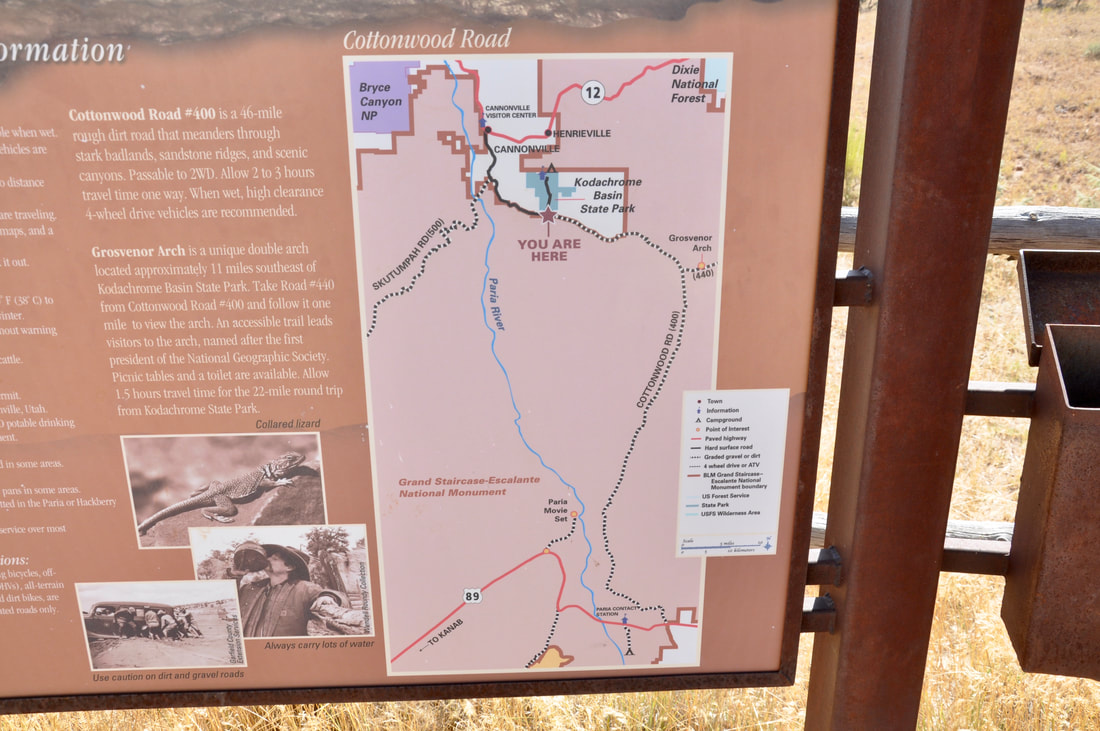
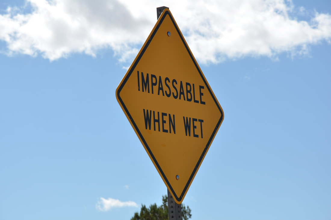
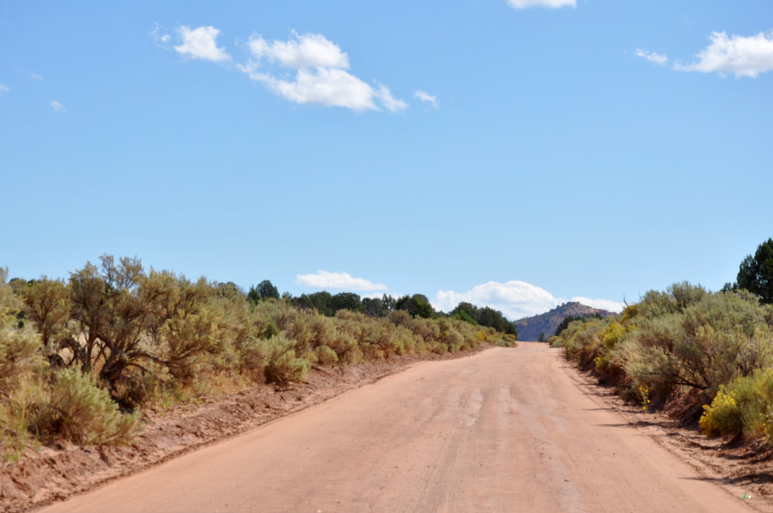
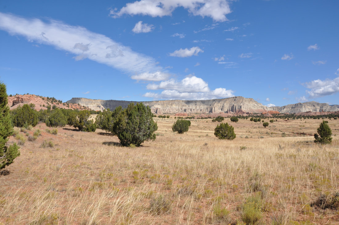
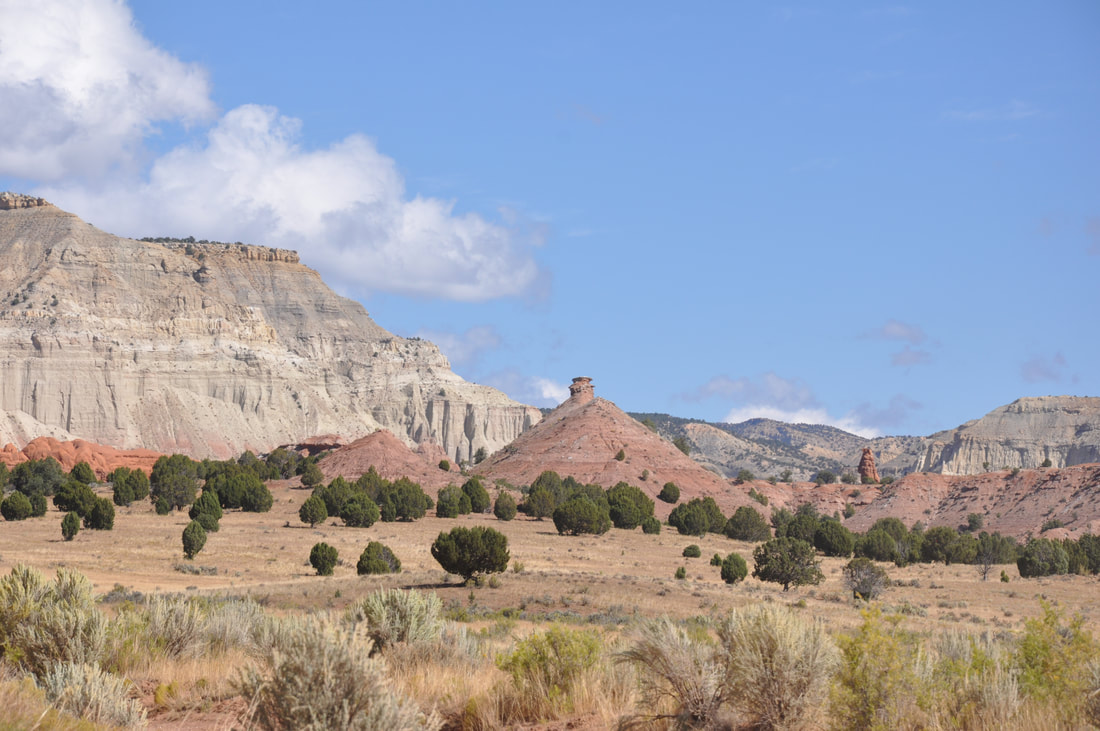
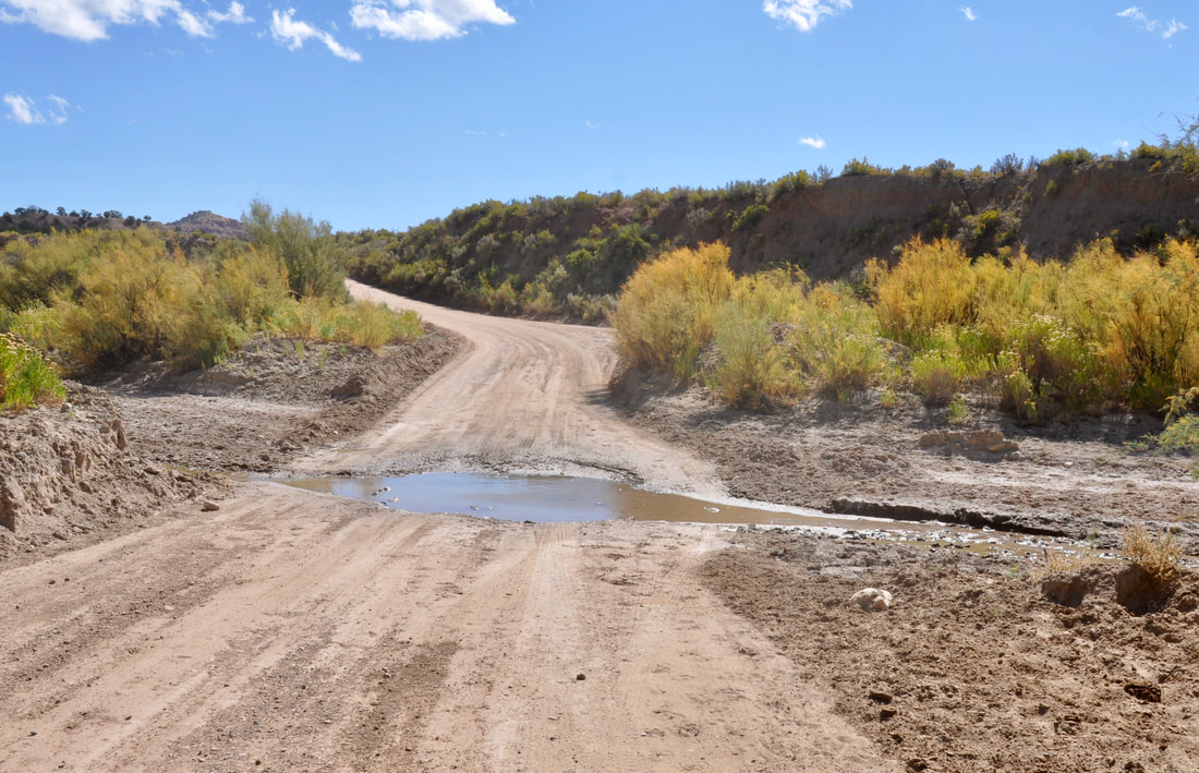
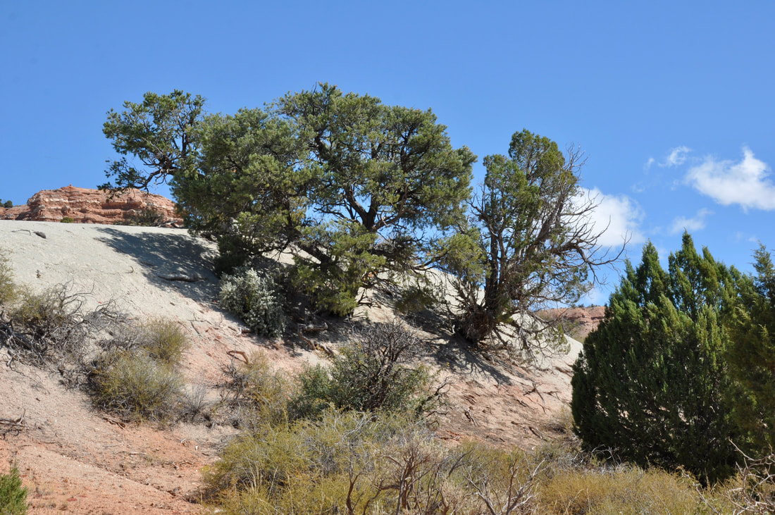
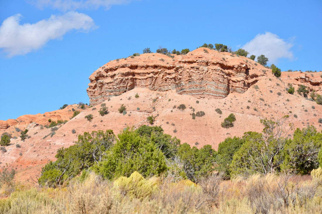
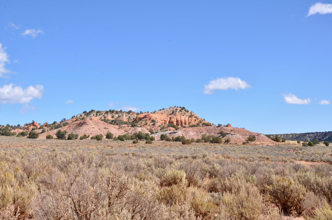
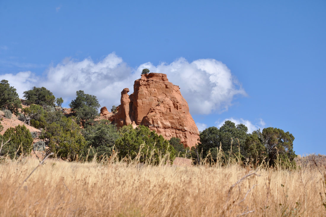
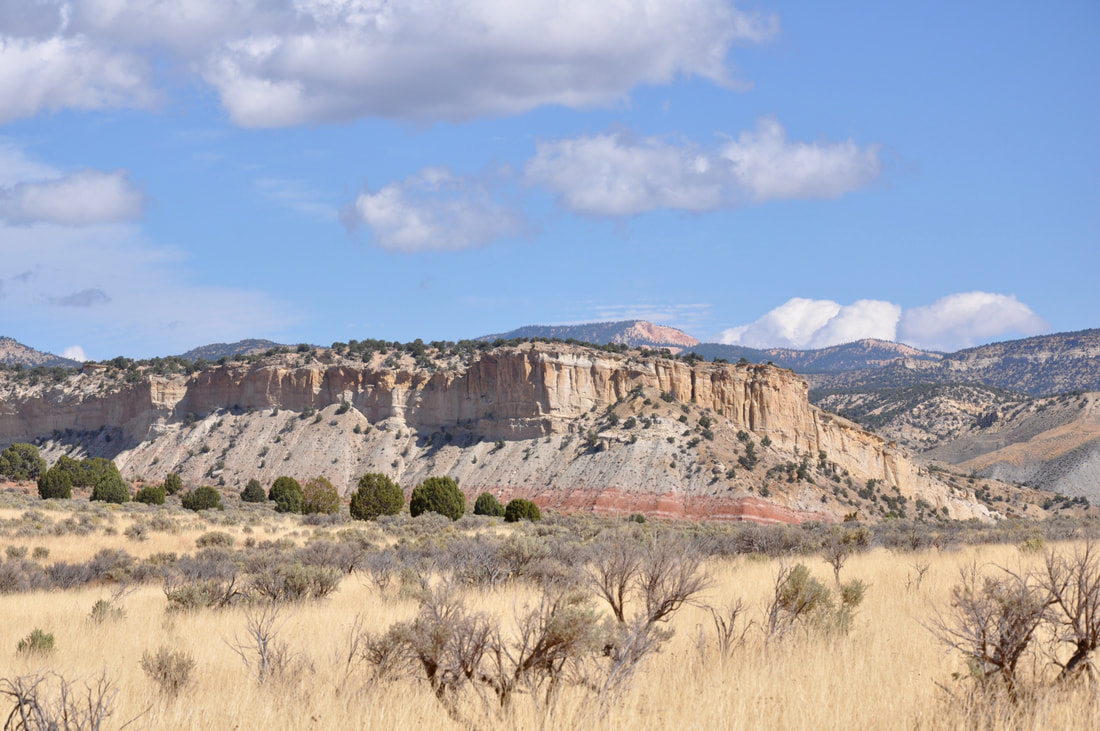
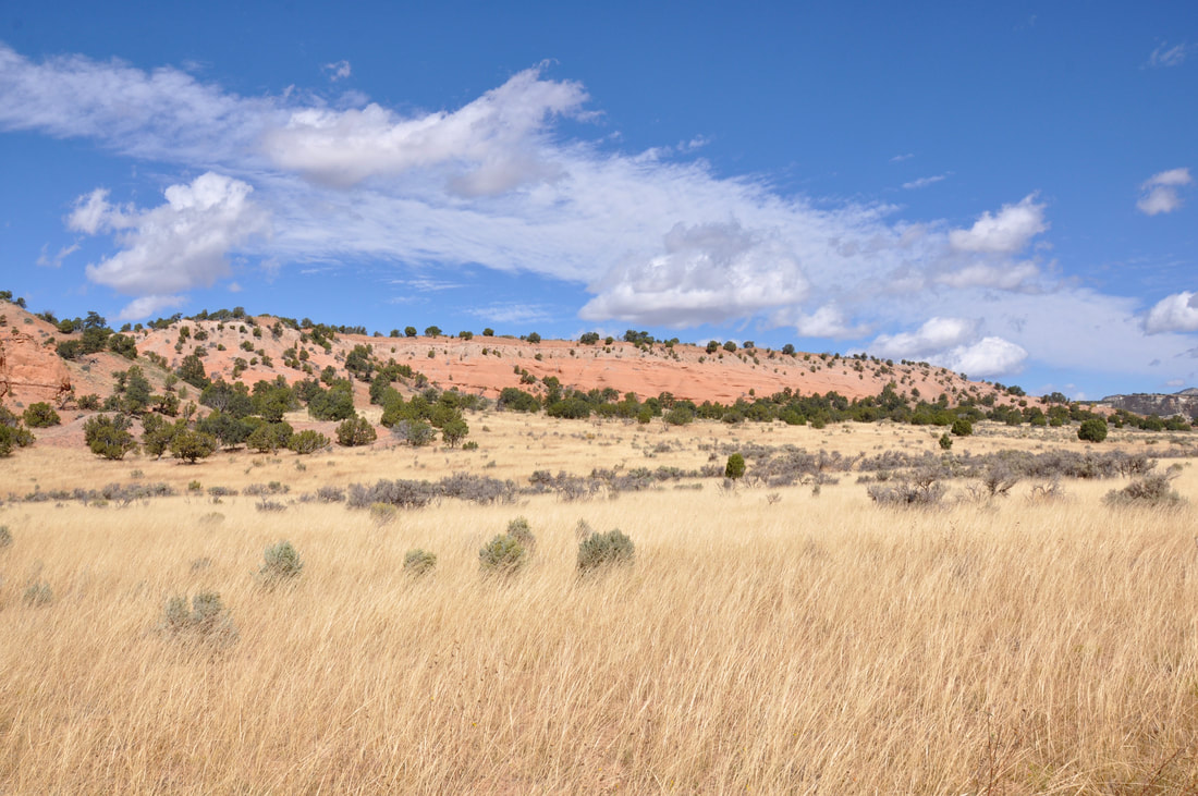
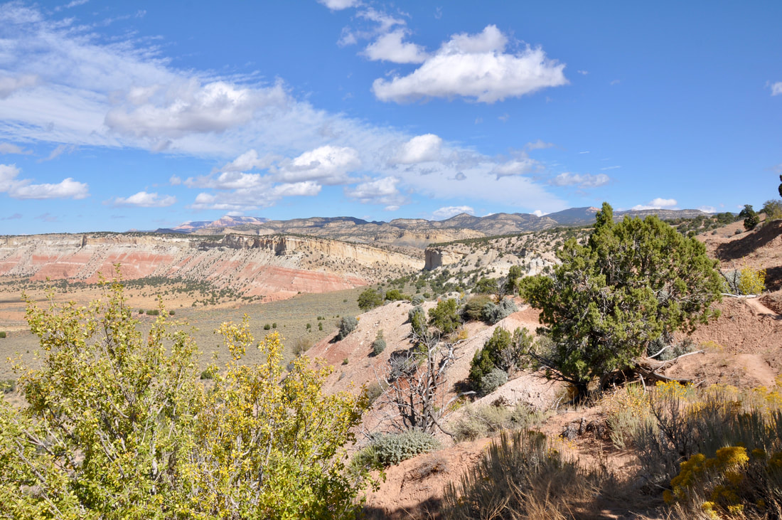
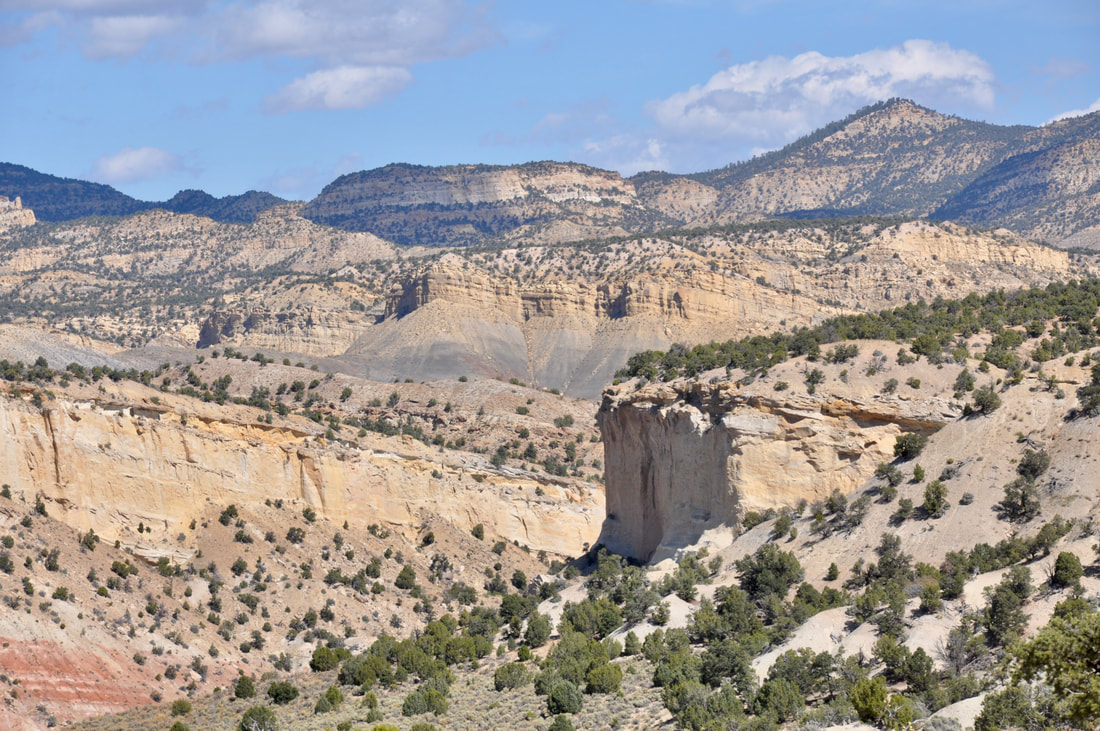
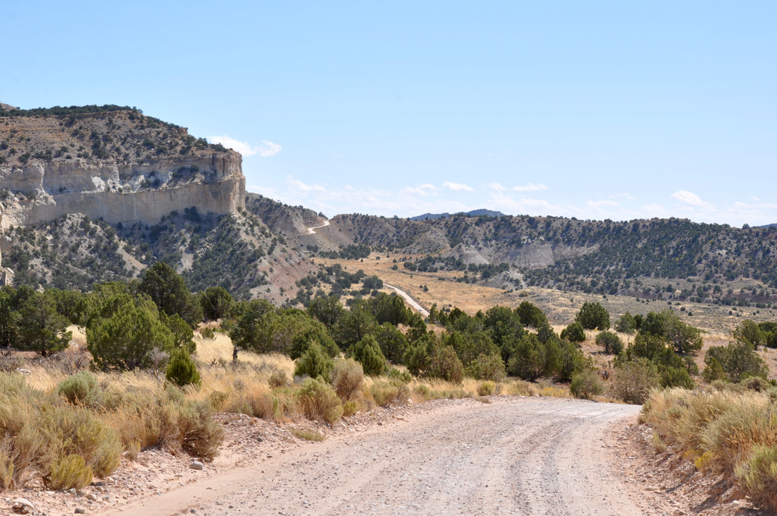
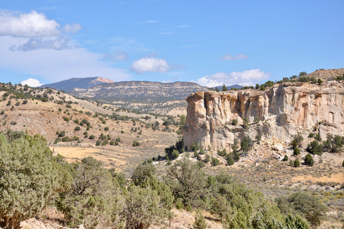
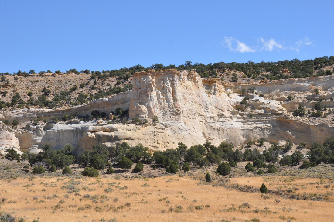
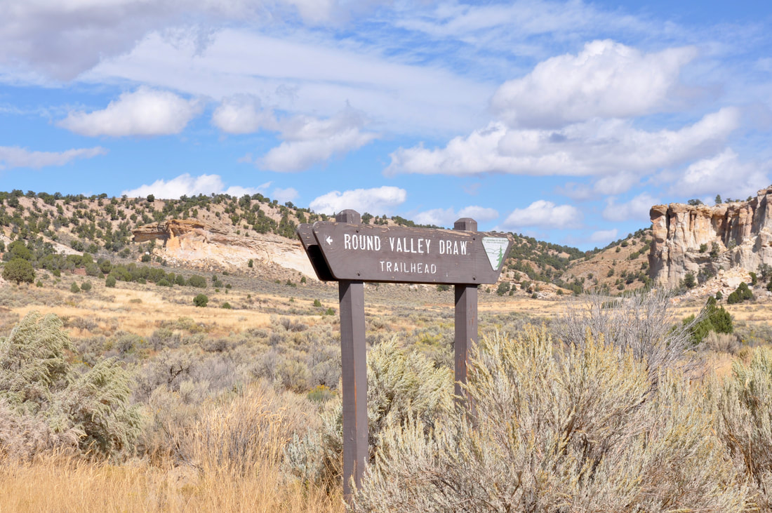
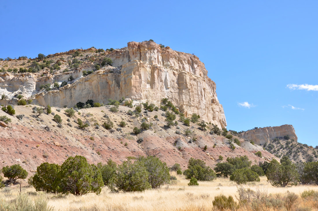
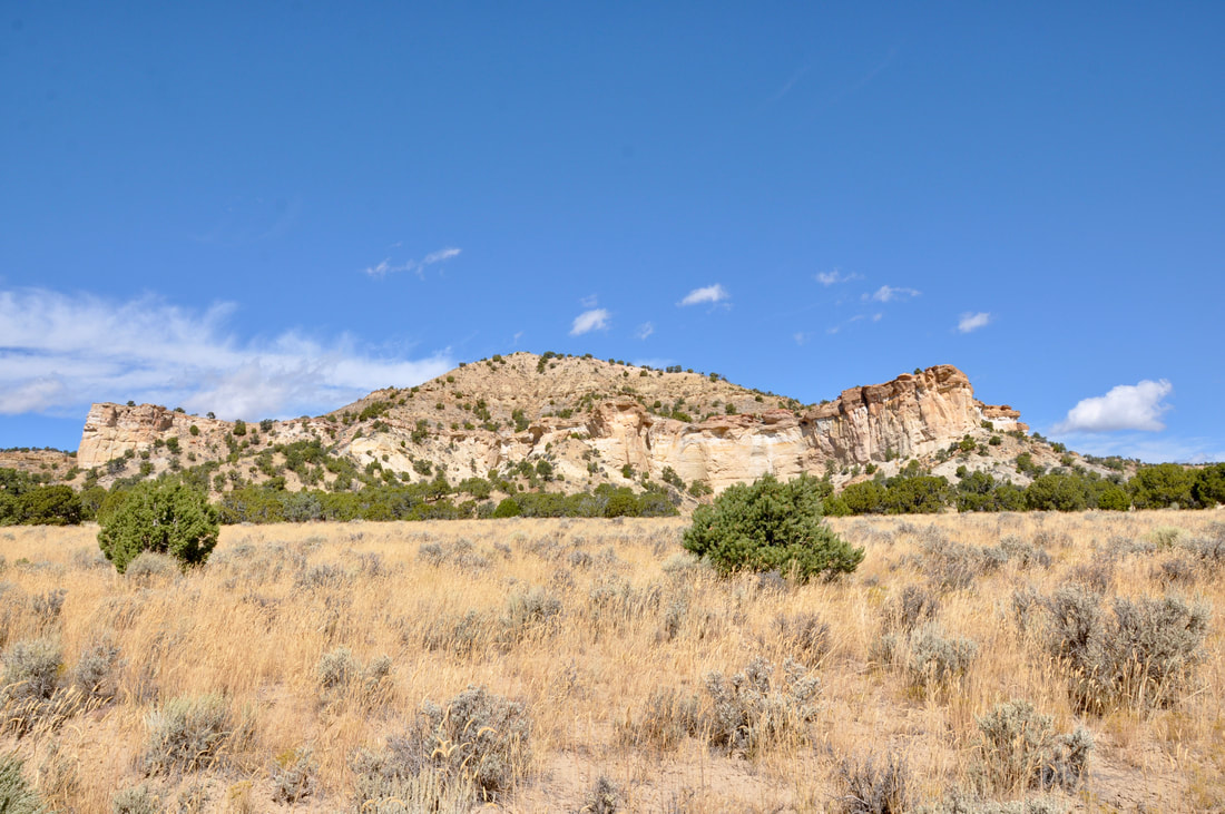
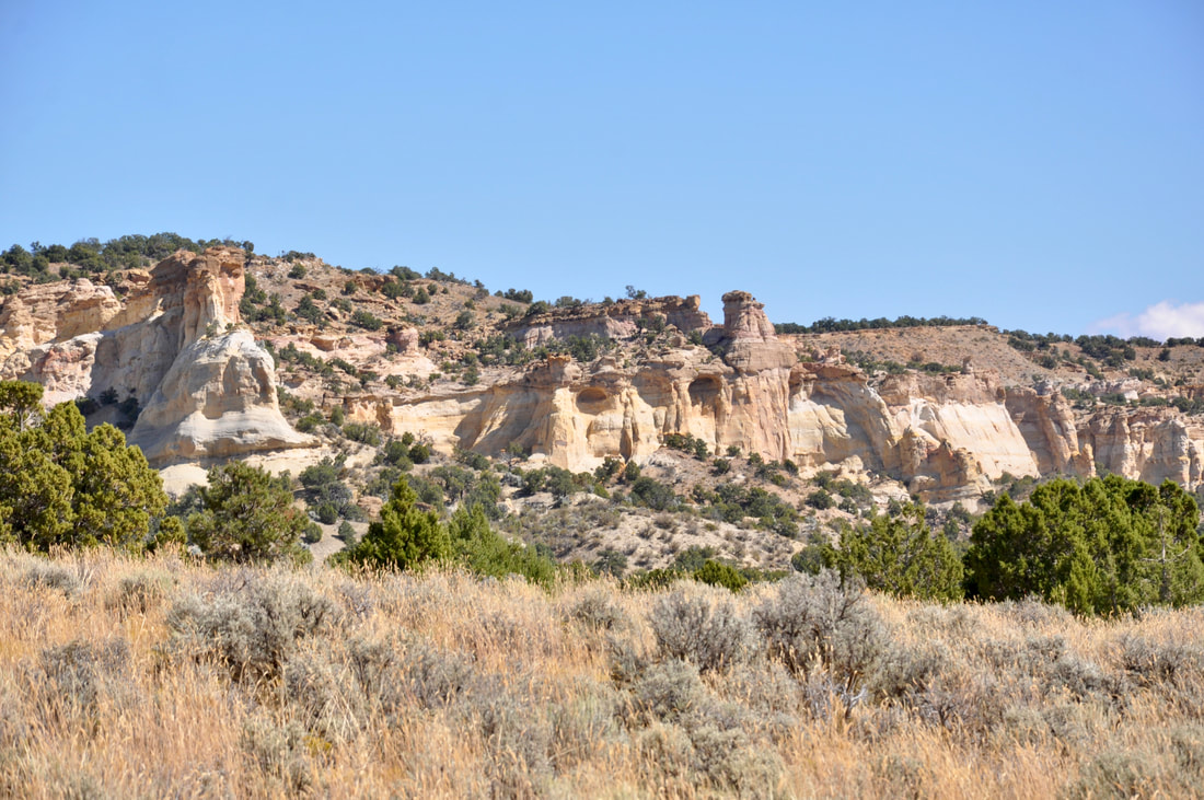
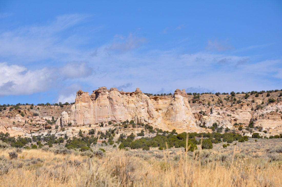
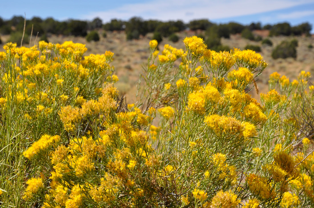
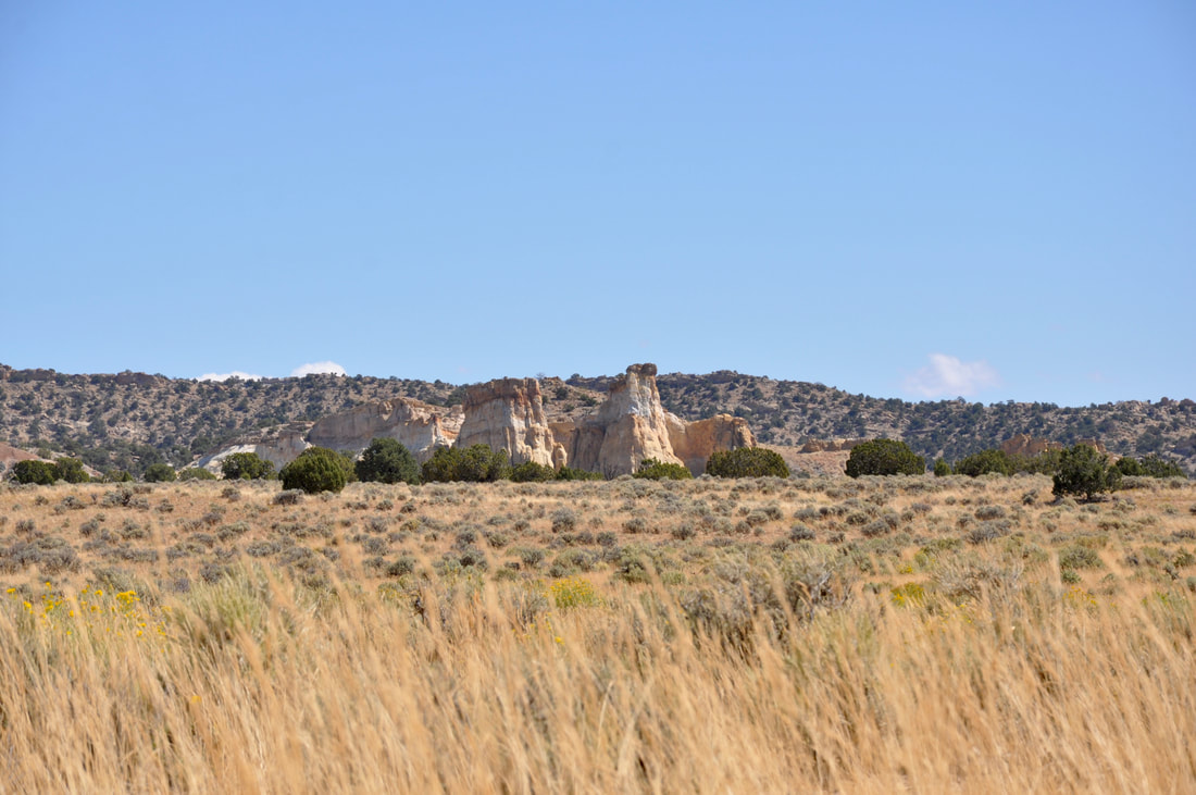
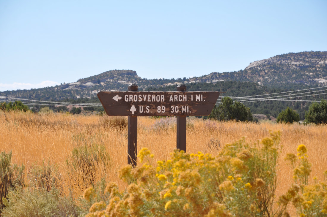
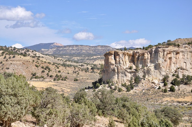
There are two highways that parallel the north and south borders of Grand Staircase-Escalante National Monument that are nice touring routes, but access into this park from the paved main roads is fairly limited. The center of this park is what most people are interested in, because this vast wilderness is a majestic no man's land that beckons to be explored. There are several interesting geological landmarks in the center of this park, which include the tiers in the grand staircase, many picturesque canyons, natural arches and a long towering geological reef that is similar to the upheaval area in Capitol Reef. Bedrock layers adorn the landscape in the mountainous central section of Escalante and the grassy meadows stretch out to the horizon. This is a special place to be, because it is one of the very last unspoiled landscapes on earth. This is all the reason needed for planning a trek through the center of Grand Staircase-Escalante! When starting from Scenic Byway 12 in the north end of the park, the road that goes south through Cannonville is the one to look for. The Grand Staircase-Escalanted Visitor Center is located in this town, so this is the best place to start a Cottonwood Canyon Road tour. Asking the rangers about the dirt road conditions is good to do, because Cottonwood Canyon Road goes 46 miles due south from the visitor center to Highway 89 next to Paria and the Toadstools. It is nothing but a long bumpy dirt road in between Cannonville and Highway 89, so it is best to make sure that the vehicle is up to the task. When the dirt road is fairly smooth, a regular passenger car can do the trip, although the going will be slow. A high ground clearance vehicle is best for going to destinations along Cottonwood Canyon Road, but if it rains then all bets are off, because the red silt dirt road will turn into deep impassible mud. Grosvenor Arch is the first major point of interest when going south on Cottonwood Canyon Road. The distance from the Cannonville Visitor Center to Grosvenor Arch is about 18 miles, which is perfect for a day trip, especially when visiting the neighboring Kodachrome Basin State Park! Grosvenor Arch may be the primary destination, but the star of the show most definitely is the majestic scenery along Cottonwood Canyon Road. This is one of the last untouched wilderness areas on earth and this terrain certainly has an untamable look about it. This part of Grand Staircase-Escalante is what a western landscape painter's dreams are made of, so be sure to plan on taking some extra time when passing through! As far as the Grosvenor Arch photos are concerned, I actually shot so many photos of the beautiful scenery on the way to this destination that I actually had to split the photo album in two. This says a lot about picturesque the views are along this stretch of Cottonwood Canyon Road! The Grosvenor Arch Photos will be featured in an upcoming article and for those who do not know, Grosvenor is a rare natural double arch, so this truly is a marvel to see. There are a few things to keep in mind when planning a Cottonwood Canyon Road tour and the first is safety. This long dirt road is a main thoroughfare that sees quite a bit of traffic each week, but if it rains it can be quite a wait for another car to come along. For this reason, it is best to pack survival gear along with ample food and water in case the unexpected occurs. Just like the sign says, visitors are responsible for their own well being in this untamed place, so acting responsibly is the way to go!
0 Comments
Your comment will be posted after it is approved.
Leave a Reply. |
Leave no trace!
New!
Destination West YouTube channel! https://www.youtube.com/@DestinationWestOrg *The Destination West website upgrading project is well underway. Unique YouTube slideshows are replacing the outdated Flickr photo galleries. The new videos feature modern graphics and alternative music instrumentals that enhance the viewing experience. Some articles are being condensed, while others are getting much needed edits. As everybody knows, the bulk of the original articles and photos were published on the fly during the Covid camping venture and there were limitations. Upgrading is the way to go and more articles will receive a makeover each week until this project is completed. After that, I will be able to gather new material. There is light at the end of the tunnel!
JD Lane Archives
July 2024
|
