|
00:00 Title
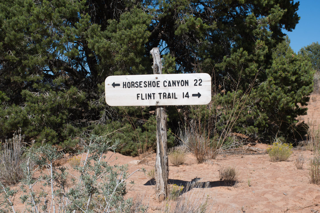
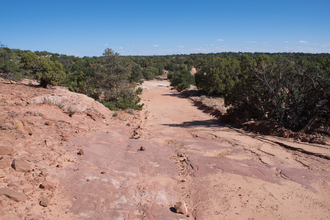
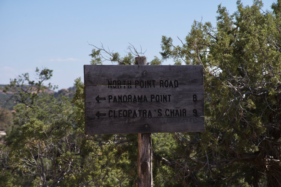
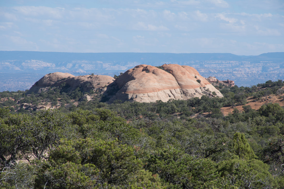
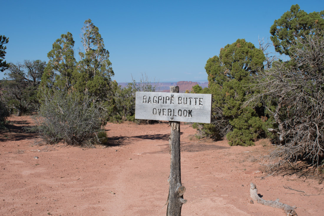
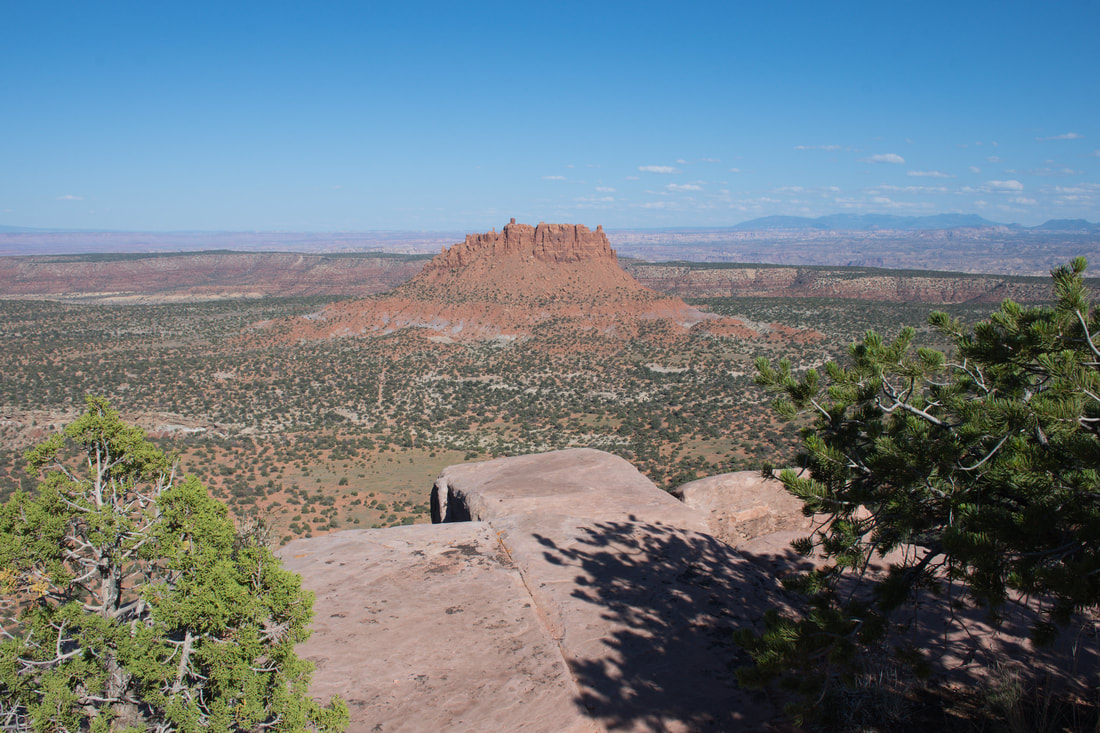
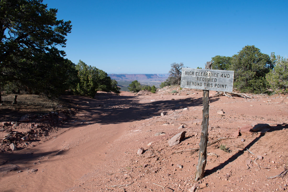
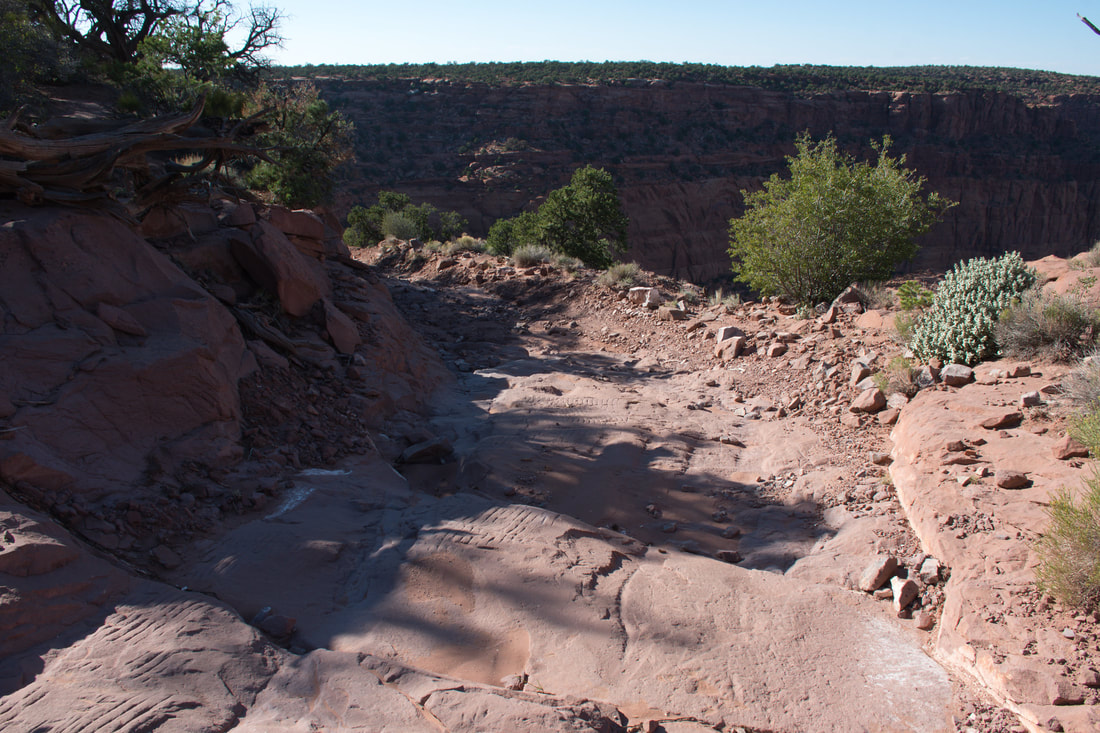
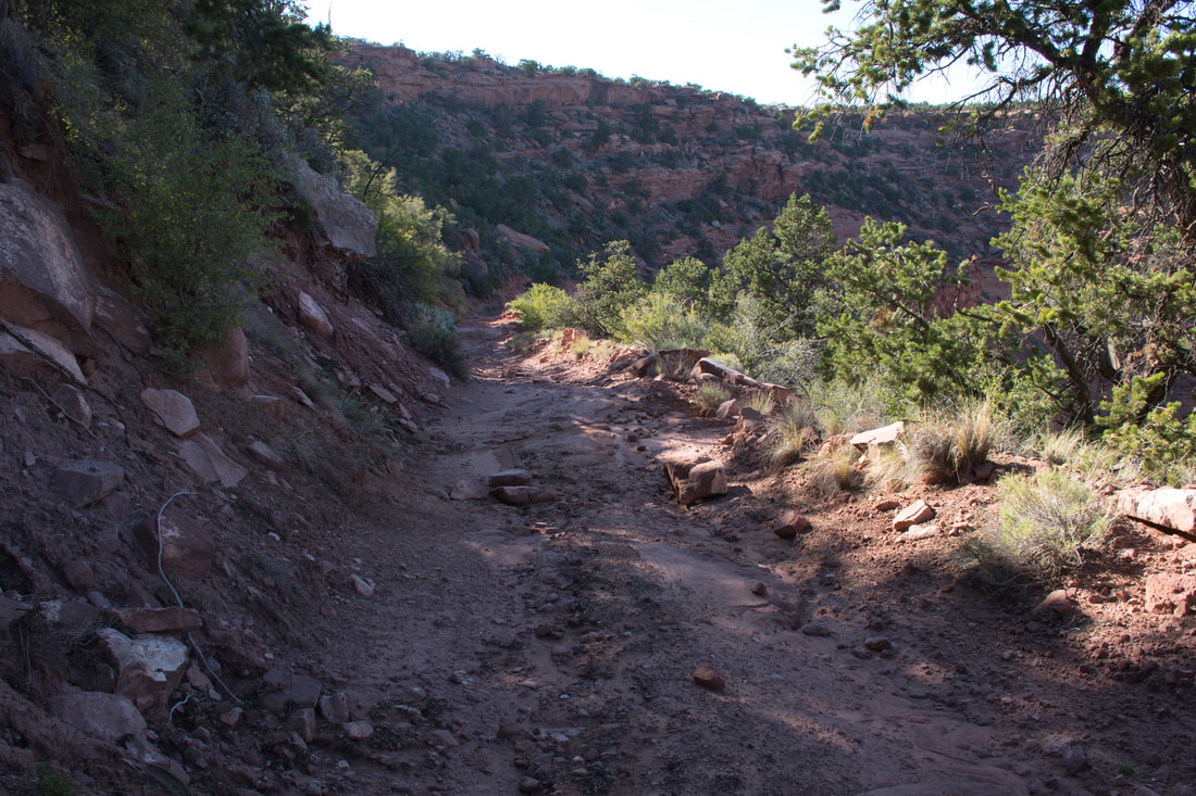
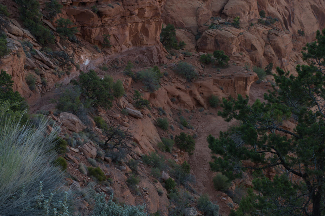
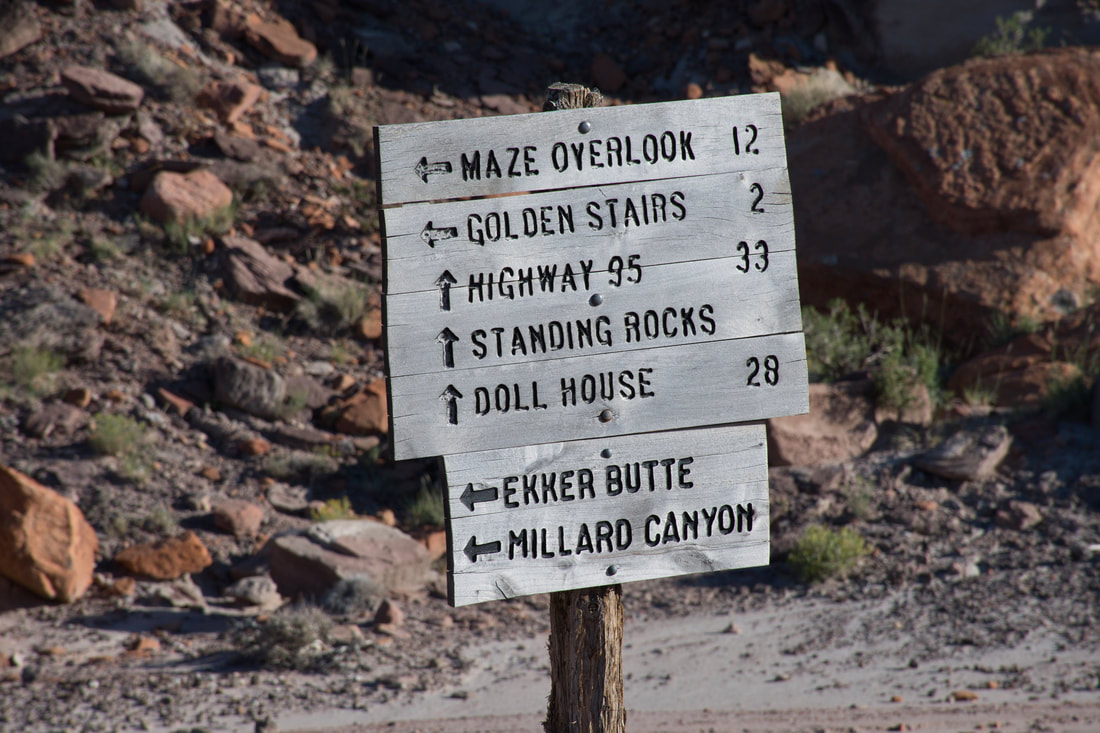
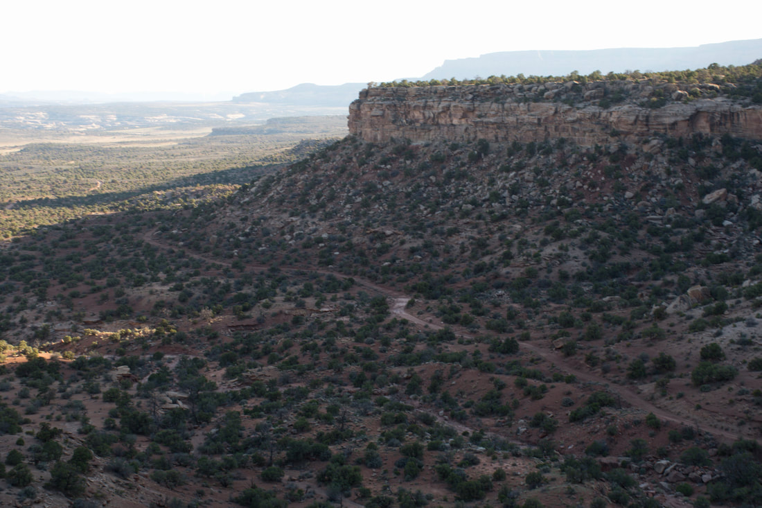
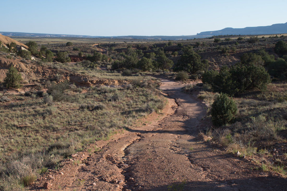
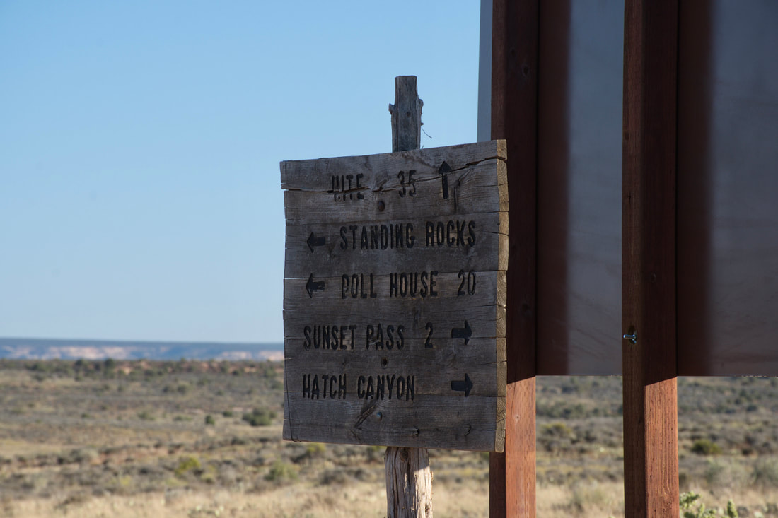
00:17 To Hans Flat Ranger Station 03:47 Flint Trail To Doll House Road 10:17 Orange Cliffs To Highway 95 17:48 Fin Sometimes the shortest route from point A to point B is not the best way to go and the Flint Trail is a prime example of this analogy. A previous article describes the lengthy 60 mile drive from Hanksville, Utah to the Hans Flat Ranger Station, which is the starting point for adventures in the Canyonlands Maze District and the Orange Cliffs region of the Glen Canyon National Recreation Area. From the ranger station, the dirt roads are very smooth along the way to Horseshoe Canyon, which is where the majority of visitors tend to go, so this destination is highly recommended. Heading the opposite direction on Roost Road along the rim of the towering bluffs that overlook Canyonlands is also recommended, but only to a certain point where the Flint Trail begins. The reason why has to do with the unmaintained Flint Trail Switchbacks, which are rough enough to destroy a modified heavy duty 4x4 vehicle. The short 14 mile trek on Roost Road definitely is a hidden gem of a scenic drive. This dirt trail is a bit too rough for an average passenger car, but a high ground clearance vehicle will have no problem. Driving a 4x4 vehicle will open more touring options along Roost Road, because there are several side roads that go to interesting points of interest and there is a primitive campground in this area. Roost Road first passes through the high elevation Hans Flat grassy meadows where some amazing multi color sandstone outcrops can be seen. Soon the road hugs the bare bedrock along the rim of the towering cliffs that border upon the west end of the Maze District. A landscape artist will simply fall in love with the majestic views that stretch out to the horizon from the mesa top and there is plenty of great subject matter in the valley down below. Towering red rock formations dot this end of the park like orange color islands and one of the most famous landmarks is Bagpipe Butte. The magnificent views of the vast Canyonlands landscape are non-stop along Roost Road, till this touring route ends at the Flint Trail Switchbacks, but going any further is not recommended for safety reasons. Doing the very steep downhill run on the narrow Flint Trail Switchbacks is not recommended for many good reasons. This holds true for heavy duty 4x4 vehicles as well, because it has been a long time since this trail has been maintained. Rain storms have carved deep gulleys on the edge of the Flint Trail, so the driver side tires will be hanging in mid air far more often than comfort will allow. Avalanches have strewn large boulder all over the trail and some portions of this narrow dirt road are covered with steep rock slides. The angle of descent is steep enough to cause the vehicle to slide toward the edge of the road and it gets even worse when having to pull a balancing act while boulder hopping. It is all that one can do to prevent getting hopelessly hung up on a boulder or sliding over the edge and tumbling thousands of feet down below. This trail demands full attention every inch of the way and a driver had better know how wide the wheelbase is, because tracking the tires over the peaks of the boulders is the only way to prevent getting hung up high and dry. In such a case, it would be necessary to use long jacks to prop up the vehicle so rocks can be placed under the wheels, but when considering the steep angles involved, this too would be a dangerous proposition. In order to make a long story short, I did drive down the Flint Trail Switchbacks to Doll House Road in a stock 4 door Jeep Wrangler diesel 4x4, but I am an experienced 4x4 trail rider. From the warning signs at the start of the Flint Trail Switchbacks, I did take a look at the first section, which looked deceptively smooth for a back country 4x4 trail. I figured that it can't get much worse, so I proceeded with caution. It was not till halfway through the second switchback section that the troubles began, but the obstacles were easy to overcome. Then came the third switchback and one look caused the knuckles to turn pure white as the adrenaline rose to the danger level. The road was narrow and the obstacles that I overcame in the rear view mirror made putting it in reverse an impossible dream, so I was fully committed to finishing the very punishing ride. From this point on it was one boulder obstacle, rockslide and crevice after another till the road finally leveled out at the base of the towering cliffs. I used 4x4 low gears to navigate safe passage every square inch along the way and only scraped the underbody once. Basically, I was very lucky to get the extra heavy diesel Jeep through the Flint Trail Switchbacks in one piece and no, I would not do this very bumpy ride again even in a modified 4x4. However, there are adventurous 4x4 enthusiasts that would eagerly seek out this thrill ride, so if you and your vehicle are capable, then go for it! A specialized tall jack or a winch will ensure not getting hung up on the boulders, which is good to keep in mind. For everybody else, it is best to just be content with heading in the opposite direction from Hans Flat to Horseshoe Canyon. Down at the bottom of the cliffs is where Doll House Road can be found. Doll House Road is yet another great Canyonlands 4x4 touring option, but this road is even more challenging than the Flint Trail because of the deep silt, so tall wide tires with deep treads will be needed. The Doll House rock formations are amazing to see, but I had to take a pass because my tires were not suitable for deep silt, so a return trip is planned after the showroom tire treads are worn out. The Flint Trail continues south from the intersection of Doll House Road through the amazing Orange Cliffs region to Highway 95 near Hite in the Glen Canyon National Recreation Area. This lengthy section of the Flint Trail is smooth sailing, so this actually is the better pathway to Doll House Road. From Hans Flat, a sane 4x4 driver will have to take the long way around through Hanksville to find the southern Flint Trail access point, but it will be worth it because the disabled vehicle extraction fees can amount to a five figure mound of debt. On a side note, my tire tracks were the only footprint on the Flynt Trail, which is never a good sign. Later while chatting with a local resident in Hanksville, I was informed that the guy that maintained the Flint Trail passed away about a year prior to my adventurous ride, which explains the dangerous dirt road conditions. For this reason, taking the long way to Doll House Road is best, especially since the Orange Cliffs region is one of the most picturesque landscapes on earth! ...
0 Comments
Your comment will be posted after it is approved.
Leave a Reply. |
Leave no trace!
New!
Destination West YouTube channel! https://www.youtube.com/@DestinationWestOrg *The Destination West website upgrading project is well underway. Unique YouTube slideshows are replacing the outdated Flickr photo galleries. The new videos feature modern graphics and alternative music instrumentals that enhance the viewing experience. Some articles are being condensed, while others are getting much needed edits. As everybody knows, the bulk of the original articles and photos were published on the fly during the Covid camping venture and there were limitations. Upgrading is the way to go and more articles will receive a makeover each week until this project is completed. After that, I will be able to gather new material. There is light at the end of the tunnel!
JD Lane Archives
July 2024
Donations help the Destinaton West project continue into the future!
Go Fund Me! This website uses marketing and tracking technologies. Opting out of this will opt you out of all cookies, except for those needed to run the website. Note that some products may not work as well without tracking cookies. Opt Out of Cookies |
