|
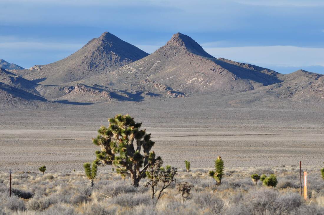
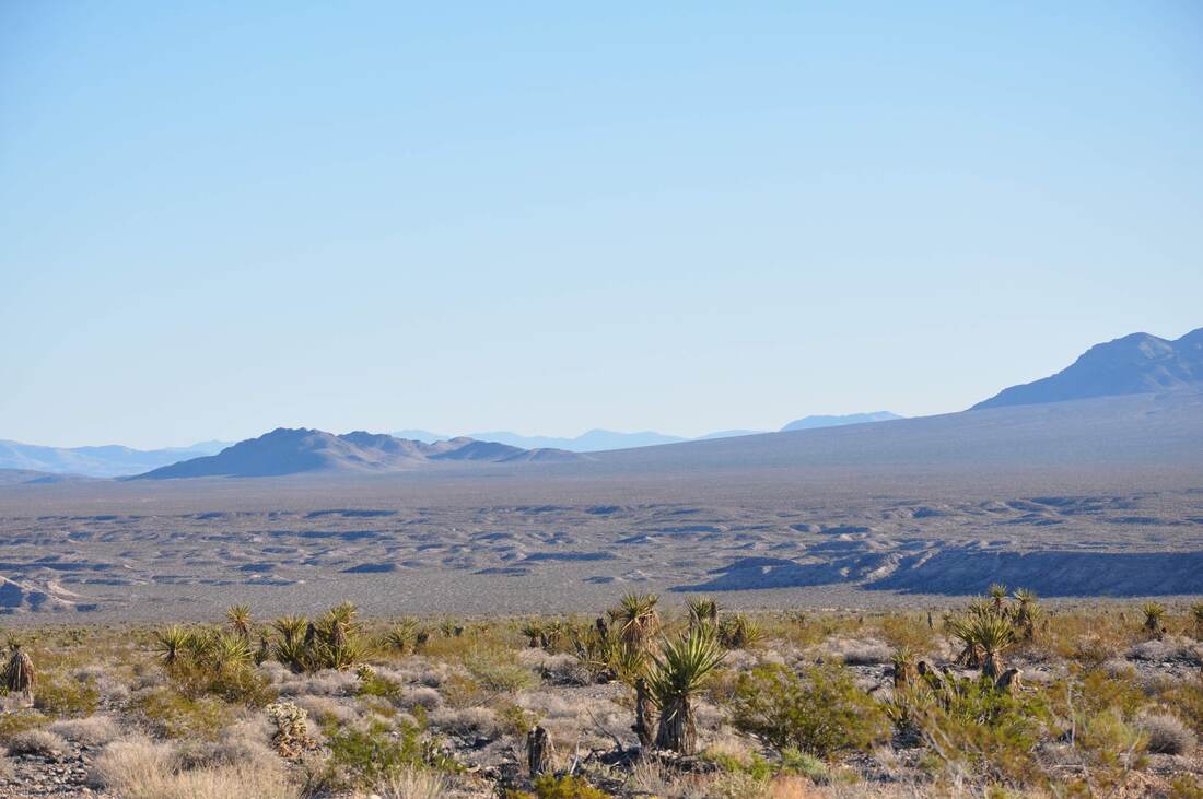
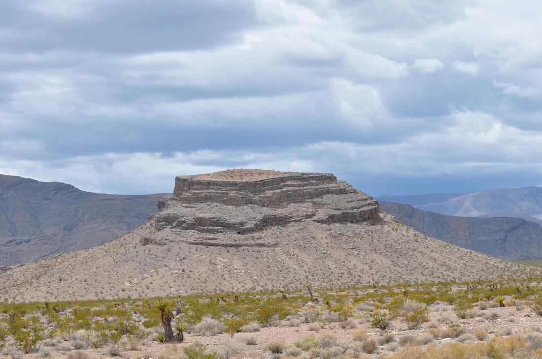
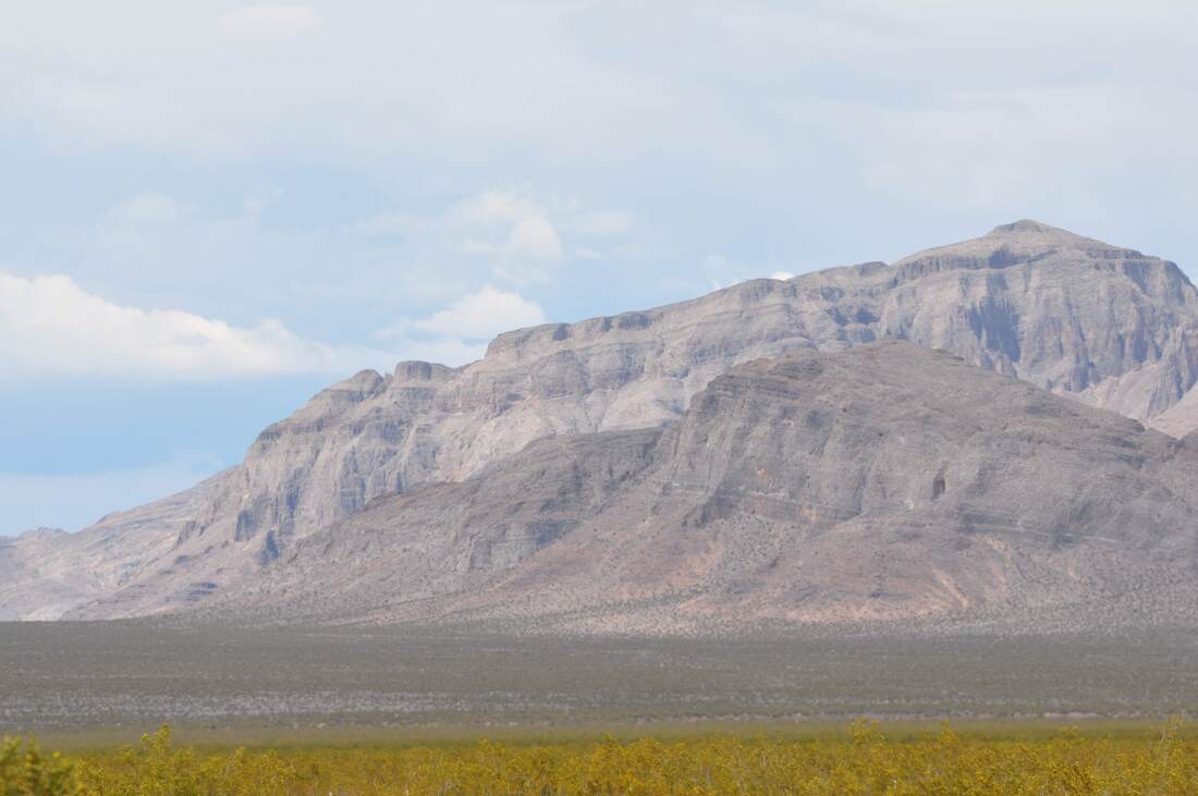
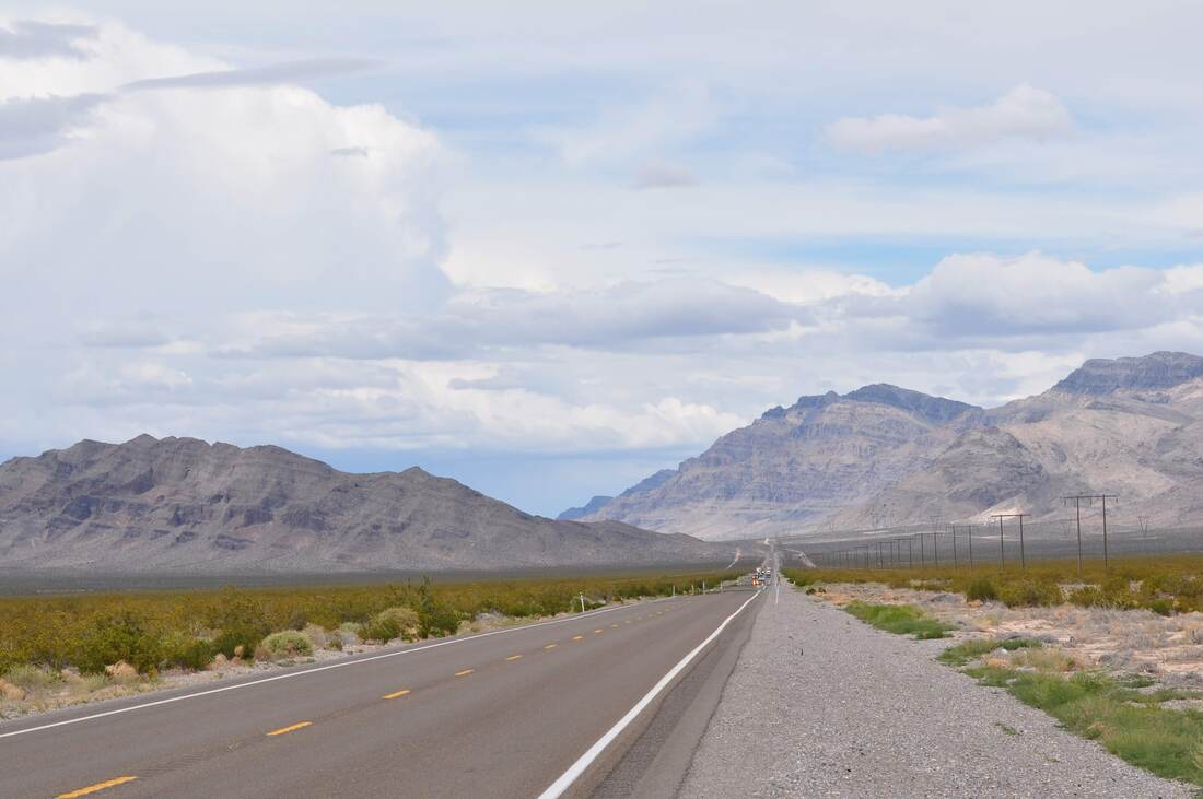
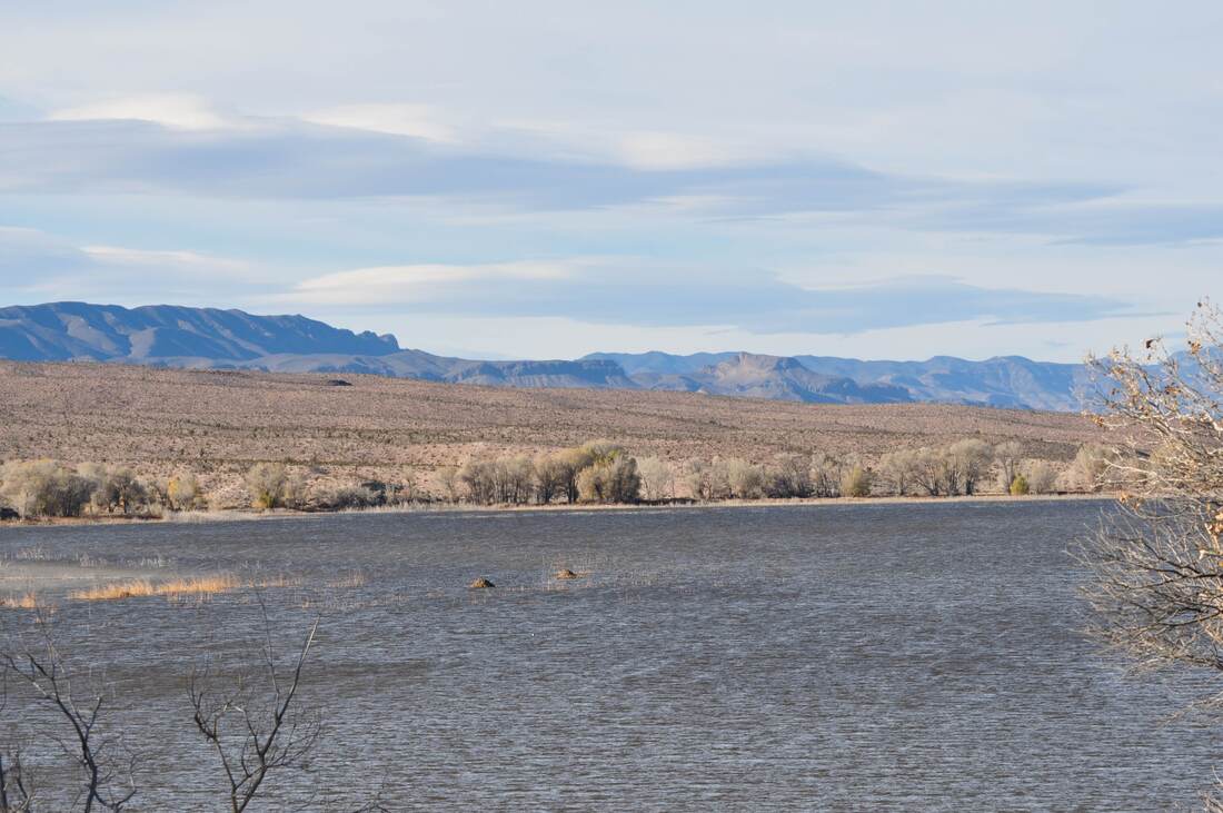
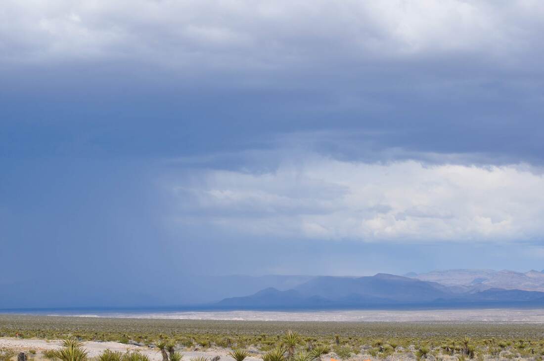
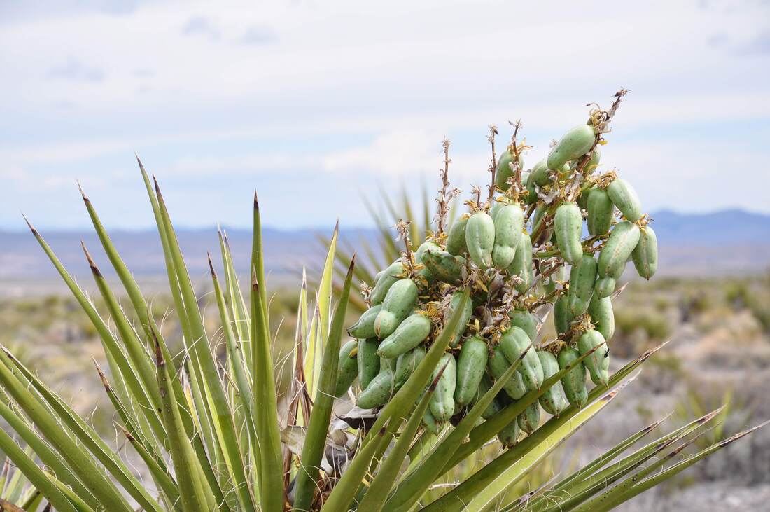
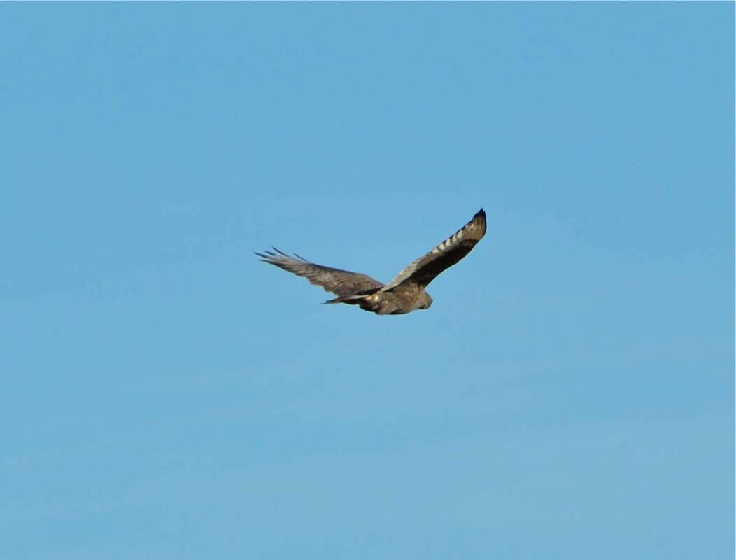
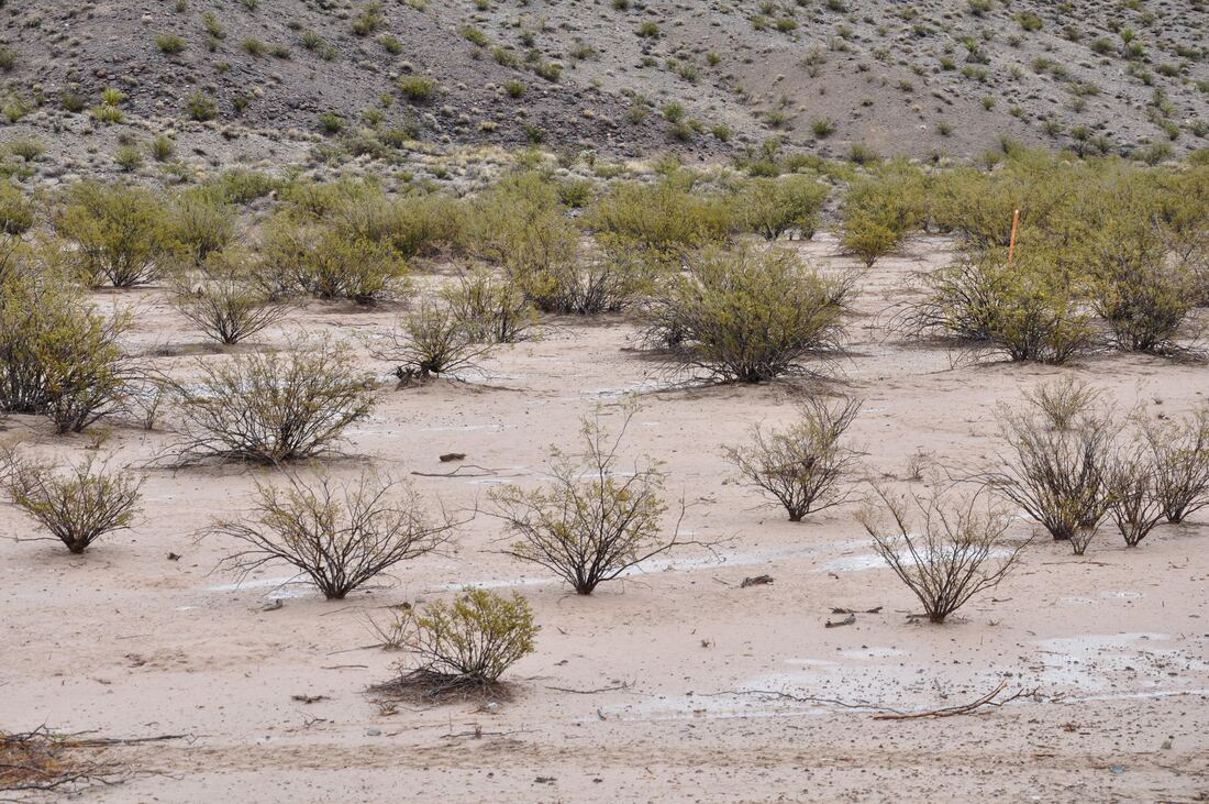
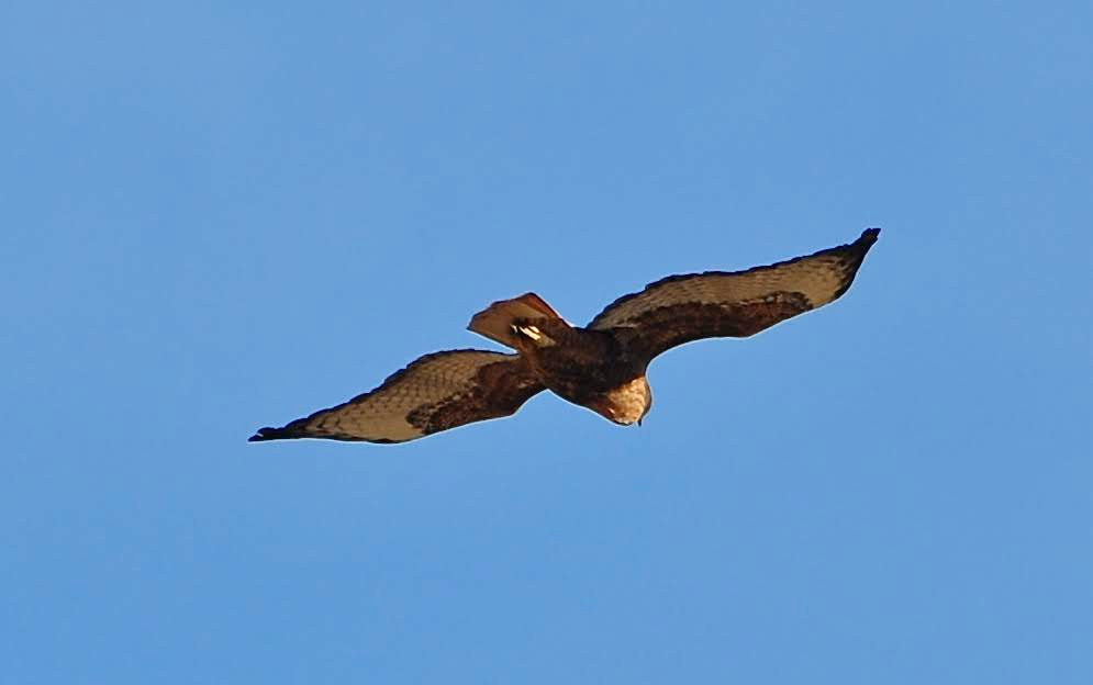
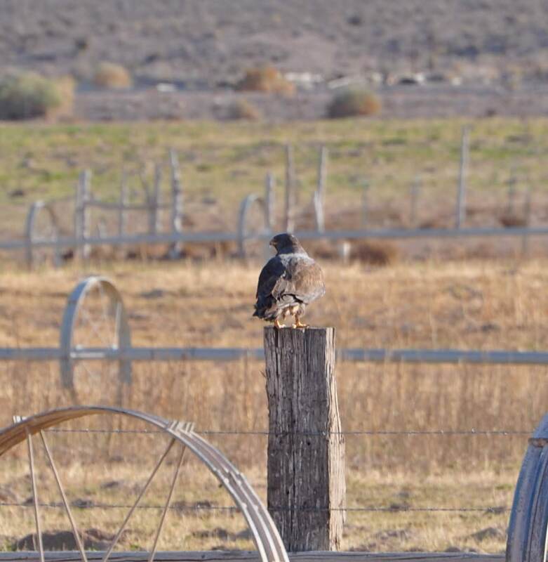
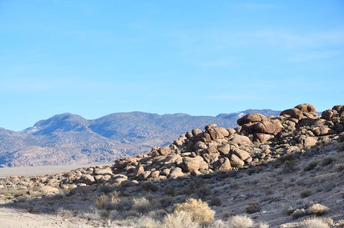
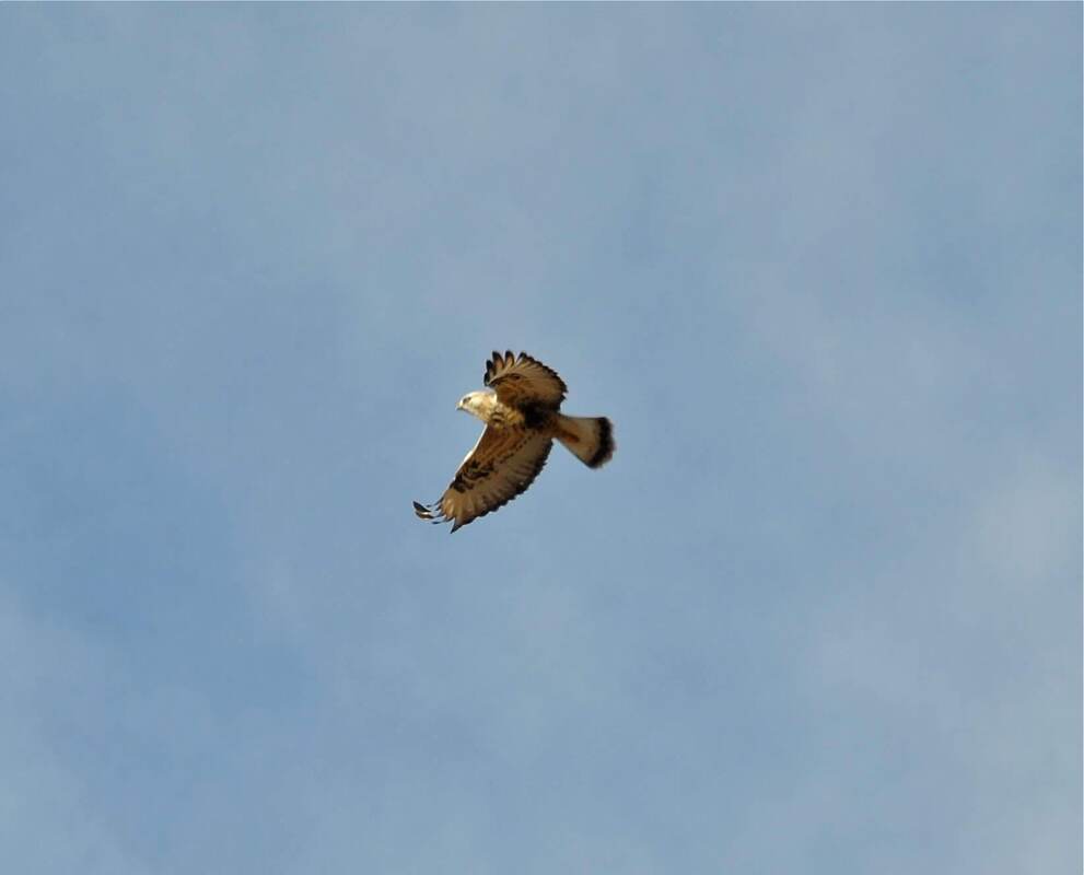
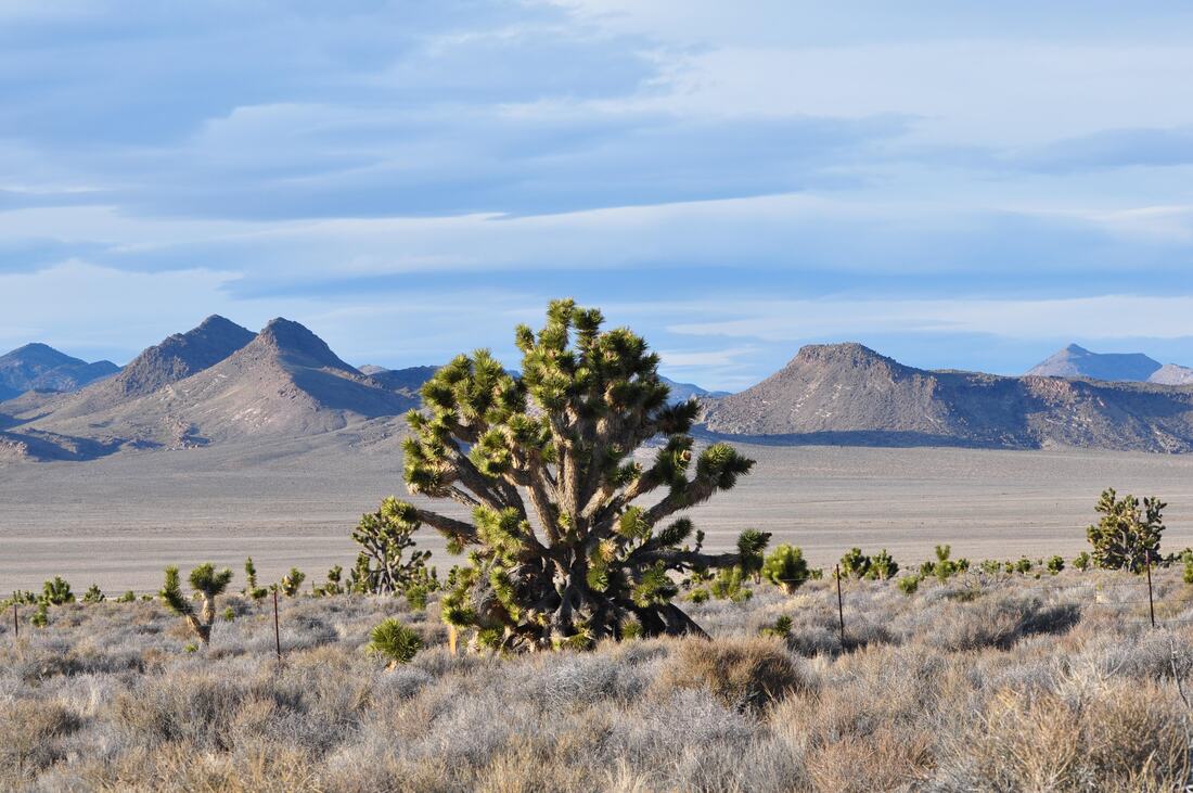
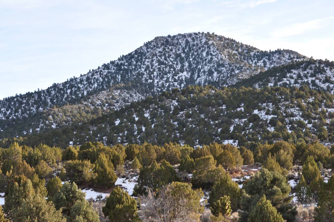
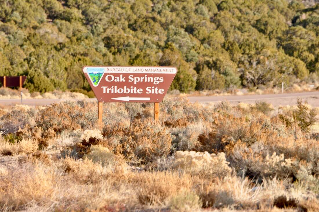
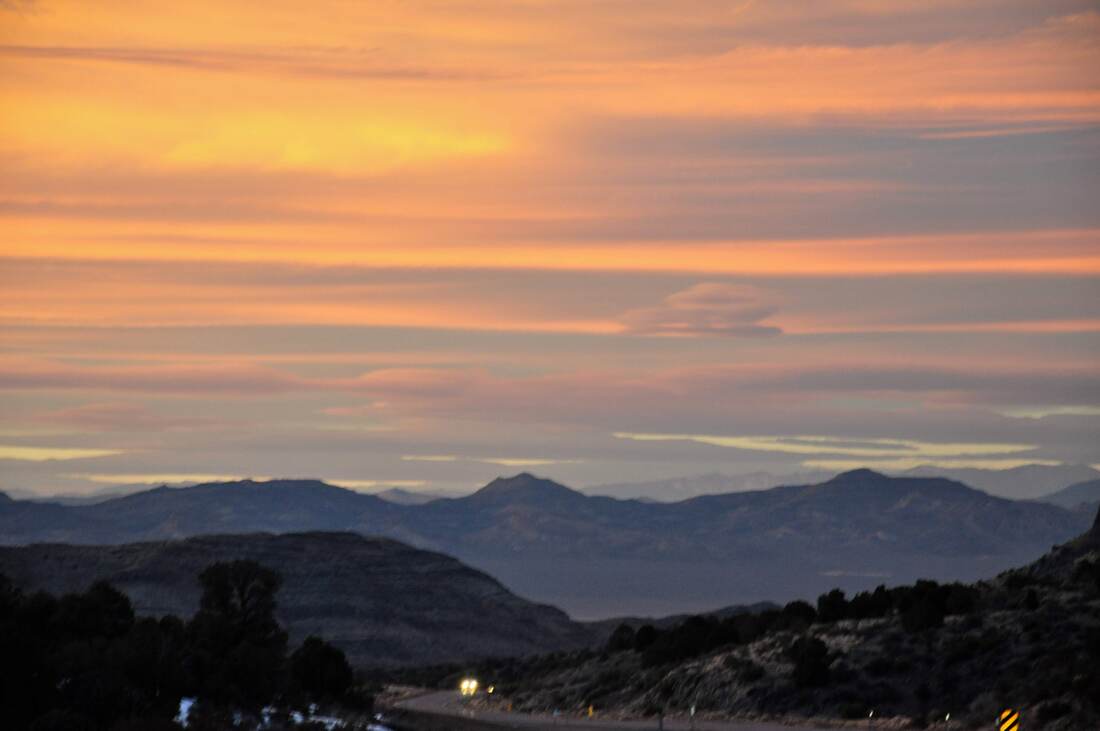
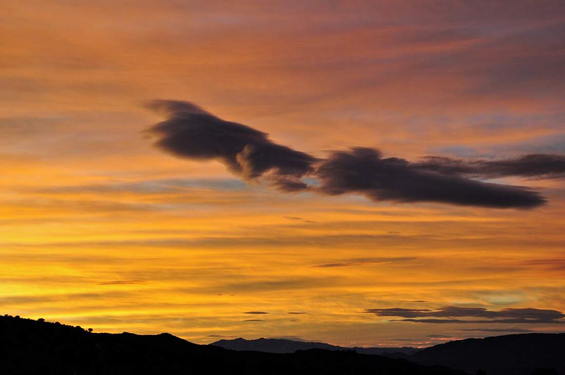
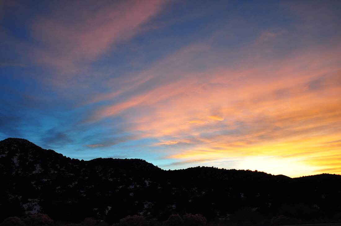
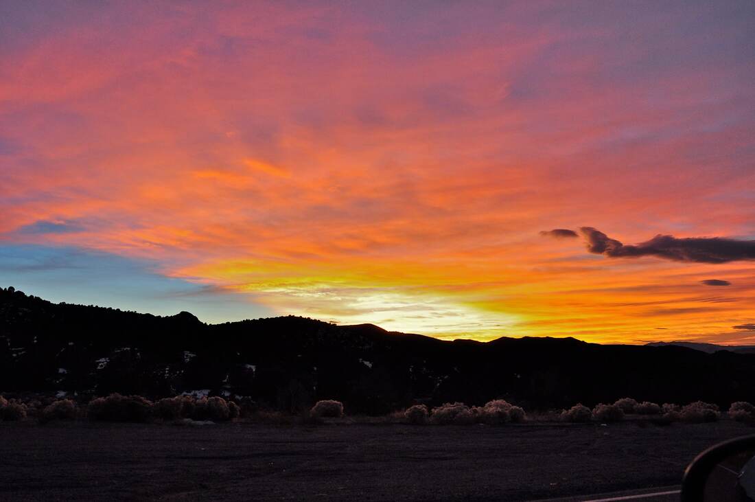
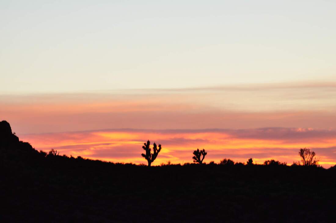
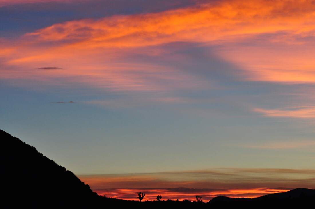
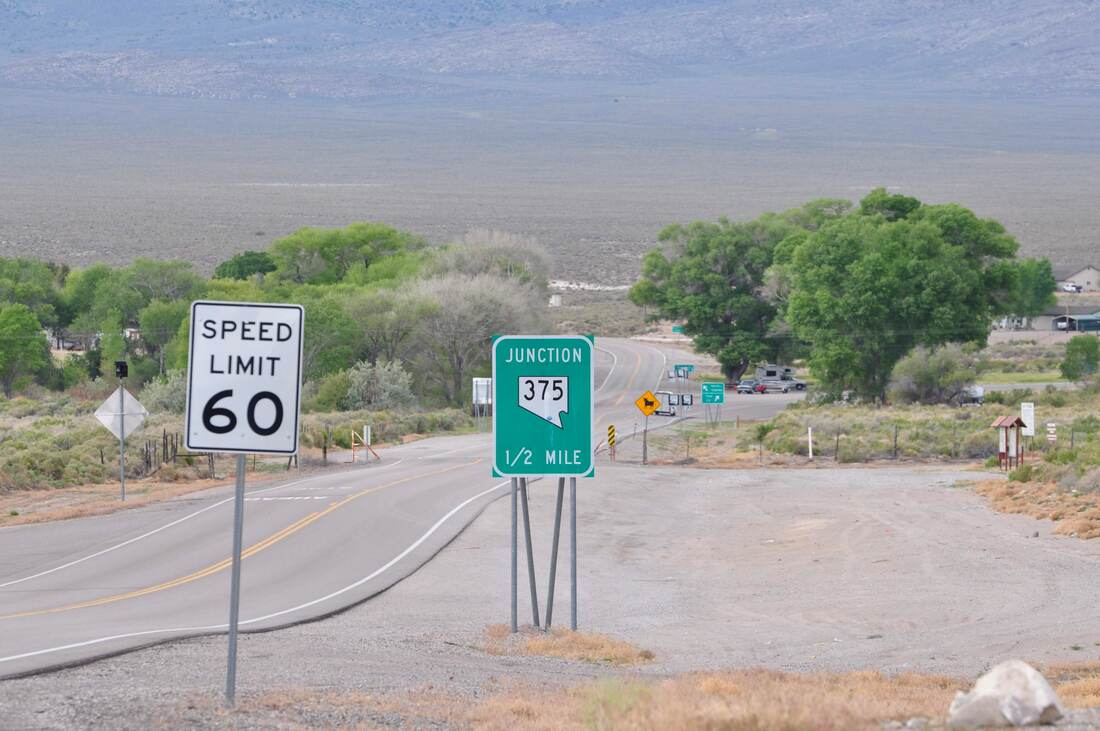
A few years ago, I took a little trip on the Great Basin Highway (Route 93) from Las Vegas to Caliente, Nevada. The scenery along this highway is filled with picturesque wide open spaces as far as the eyes can see. This scenic drive can be done as a round trip in one day and this includes spending some quality time in Caliente as well. After getting on U.S. Highway 93 just north of Las Vegas, the first part of the trip offers High Mojave Desert views. In this southern end of the Great Basin, the tall mountain ranges look formidable and the environment is harsh. Oddly enough the parched desert conditions did not last long during my trip because a surprise thunderstorm passed through, which is a rarity in these parts. The barren low desert landscape seems endless till approaching the lush green Pahranagat Valley. As Highway 93 rolls by the Pahranagat National Conservation Area, a few small communities pop up along the way. Alamo is the largest town in this area and there are a few roadside attractions nearby. Alamo Canyon is always worth checking out and birdwatching at Lake Pahranagat is a favorite pastime. There are a few dude ranches, hunting resorts and antique shops in the Pahranagat area too. For even more thrills, the access to the Extraterrestrial Highway is located just north in Ash Springs. The E.T. Jerky Shop and the Area 51 Research Center are also nearby, so be prepared to stock up on some weird alien goods! When cruising along on Highway 93 north through the Great Basin Desert, it does pay to keep the eyes peeled for wildlife along the way. Fence posts and telephone poles are prime perching spots for birds of prey in this desert expanse. The raptors to look for are a variety of hawks and large kites. Occasionally a bald eagle can be spotted too. As far as seeing the four legged critters goes, most of the reptiles and mammals are only active at night, unless the weather is cool. Cattle, wild burros and an occasional coyote are just about the only mammals to be seen when passing through. North of Crystal Springs, the surreal looking mountain ranges and ancient cinder cones rise from the desert floor. In the open range ranch country the old wooden fence posts and roaming cattle have a way of conjuring up images of the old west. As the road climbs to higher elevations near Caliente, the landscape changes to hilltops that are sparsely covered with juniper and pine trees. At the start of the climb to Caliente is where the Oak Springs Trilobite Site can be found. There are some BLM primitive campsites in this area too. At about the mile high elevation in the desert mountains, the air starts to become thin and clear. It is easy to view long distances when there is no haze on the horizon. The thin air creates wisps of high altitude clouds that pass over the mountains in an endless cobalt blue sky. The mountains cast long dark shadows as evening approaches and the bright sunlight glows on the peaks. The high elevations of the eastern Great Basin Desert truly are captivating to view near sunset! The historic town of Caliente is a prime destination in its own right. After grabbing a bite to eat in Caliente, I set sail for home back in Las Vegas. By this time the sun was going down in the mountains, so the effects of light and shadow came into play. In this region, the Great Basin Highway winds through canyons and mountain peaks of varying elevation, so it is possible to view several different sunsets within an hour while driving on this road. I ended up photographing one spectacular sunset after another while heading south from Caliente, so this was one very nice ride back home. A snowstorm was in the forecast and the clouds in the sky were starting to show the tell tale signs as darkness set in. These conditions created some of the most dramatic looking Great Basin Desert sunset views that I have ever seen. Bright orange, red and yellow sunset colors with the dark silhouette of tall Joshua Trees and mountains is as classic as a western sunset can get, so be sure to enjoy the moment if you do this scenic drive!
0 Comments
Your comment will be posted after it is approved.
Leave a Reply. |
Leave no trace!
New!
Destination West YouTube channel! https://www.youtube.com/@DestinationWestOrg *The Destination West website upgrading project is well underway. Unique YouTube slideshows are replacing the outdated Flickr photo galleries. The new videos feature modern graphics and alternative music instrumentals that enhance the viewing experience. Some articles are being condensed, while others are getting much needed edits. As everybody knows, the bulk of the original articles and photos were published on the fly during the Covid camping venture and there were limitations. Upgrading is the way to go and more articles will receive a makeover each week until this project is completed. After that, I will be able to gather new material. There is light at the end of the tunnel!
JD Lane Archives
July 2024
Donations help the Destinaton West project continue into the future!
Go Fund Me! This website uses marketing and tracking technologies. Opting out of this will opt you out of all cookies, except for those needed to run the website. Note that some products may not work as well without tracking cookies. Opt Out of Cookies |
