|
00:00 Title
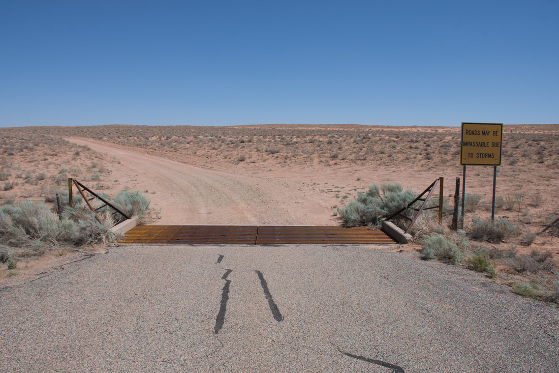
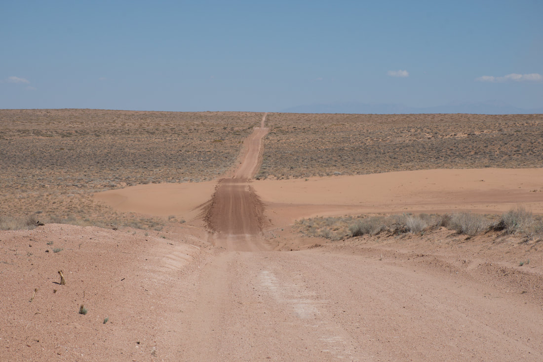
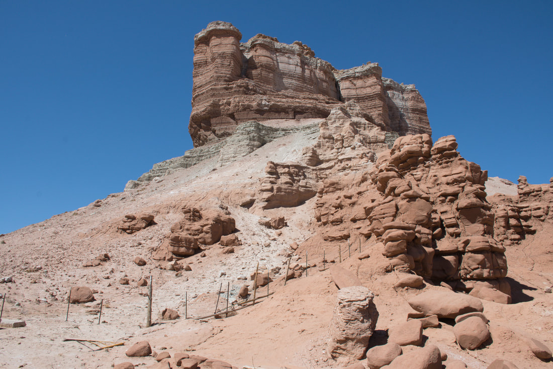
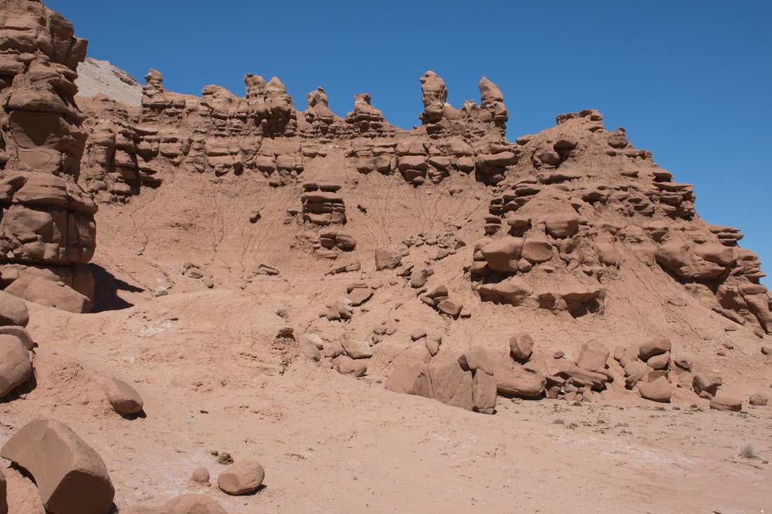
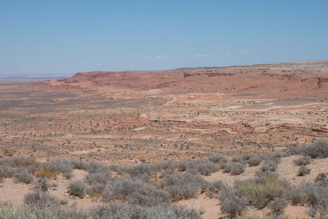
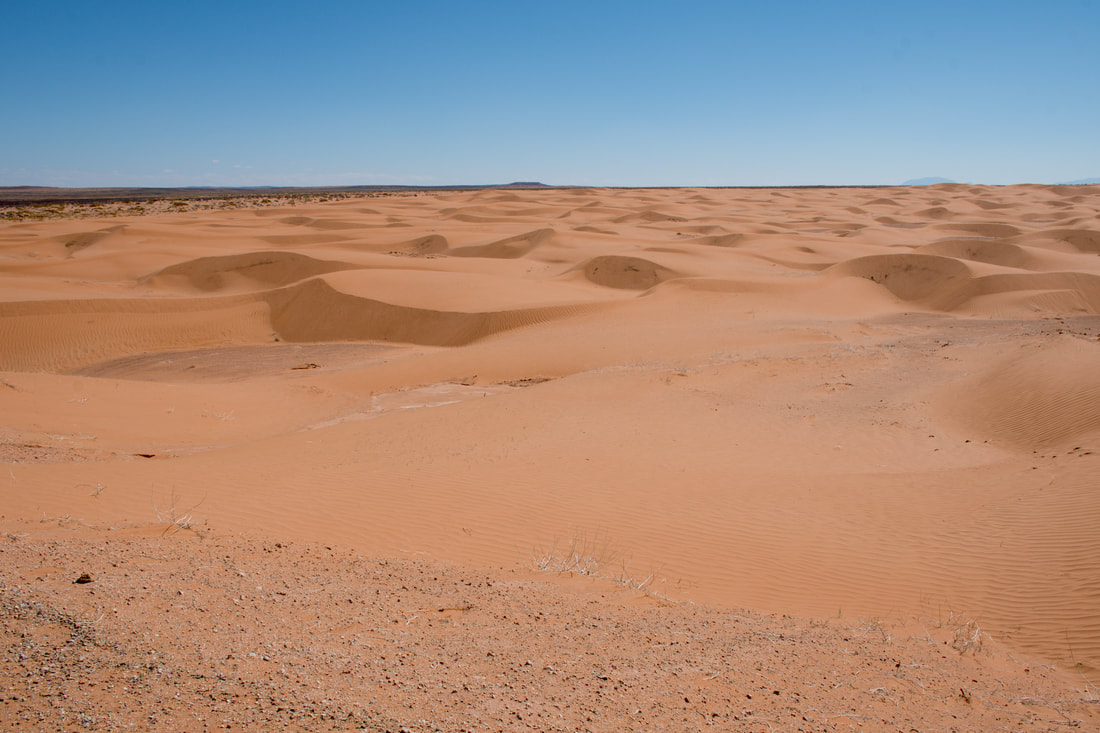
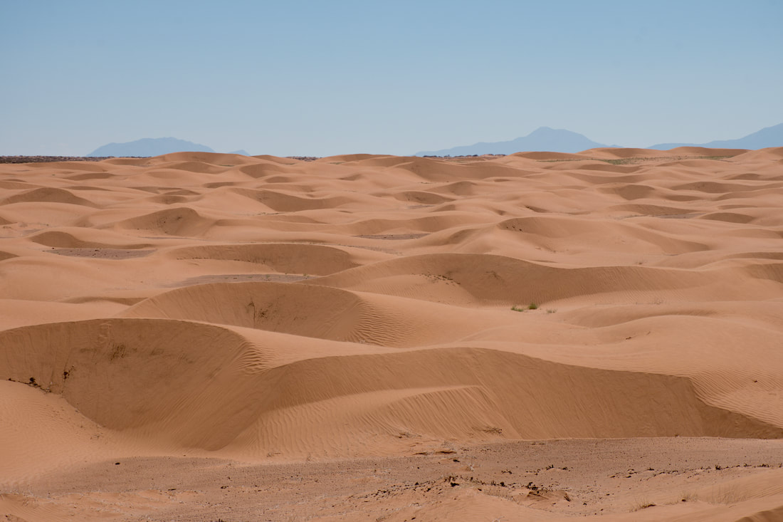
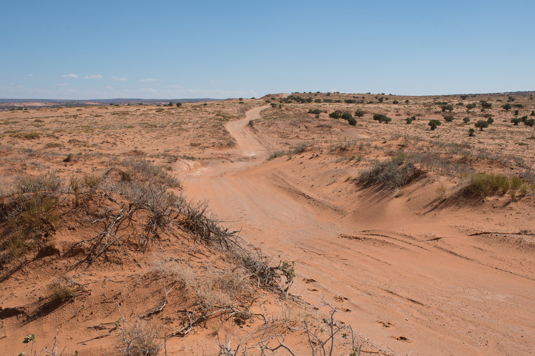
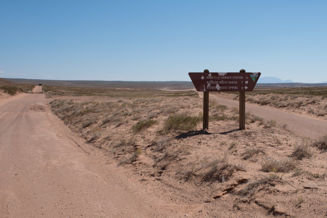
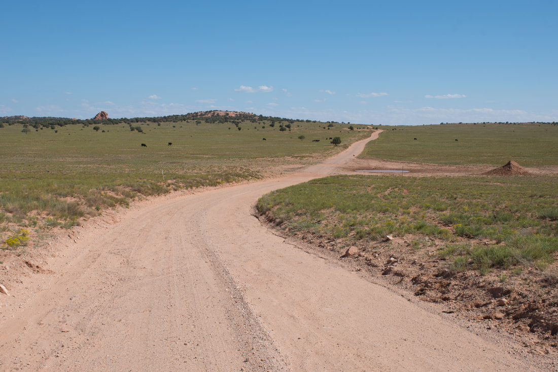
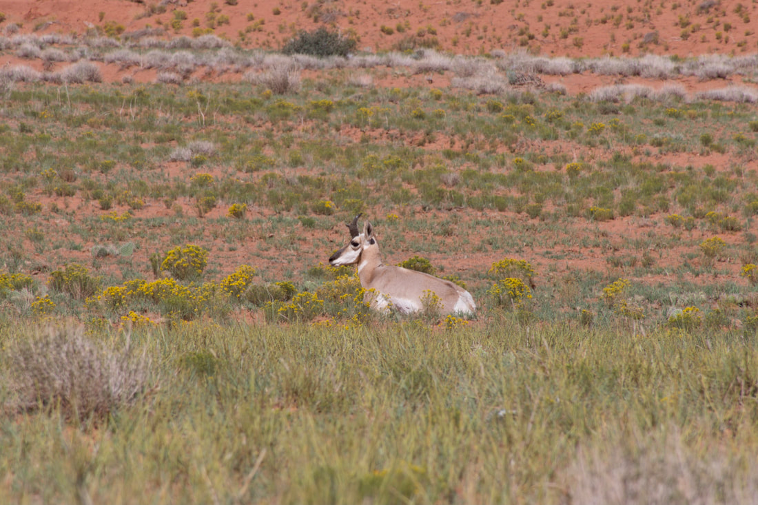
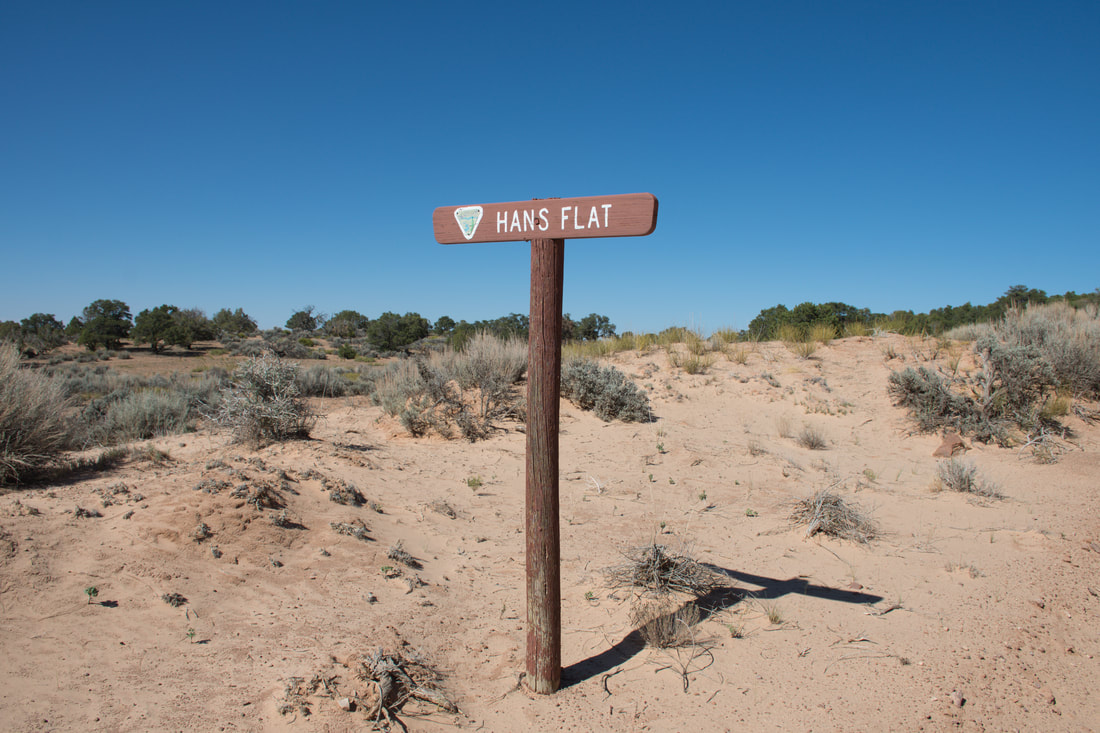
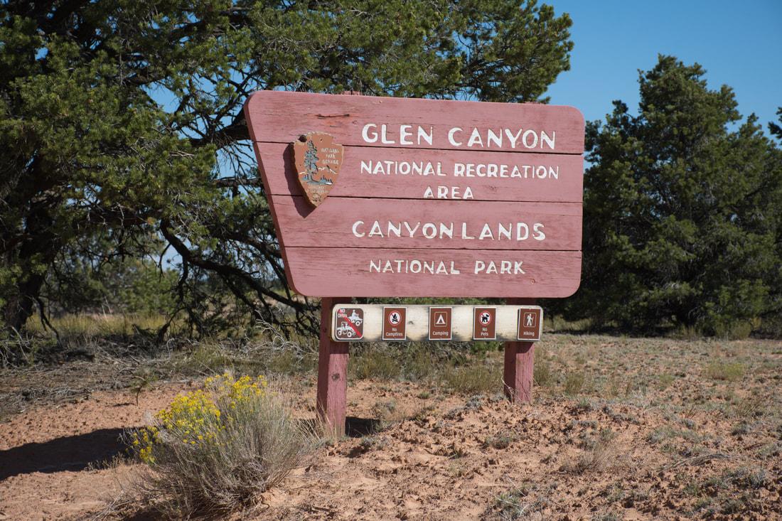
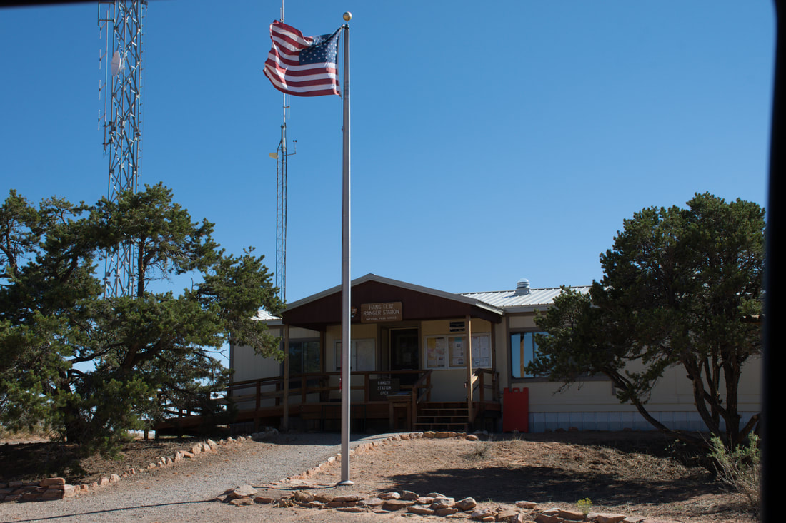
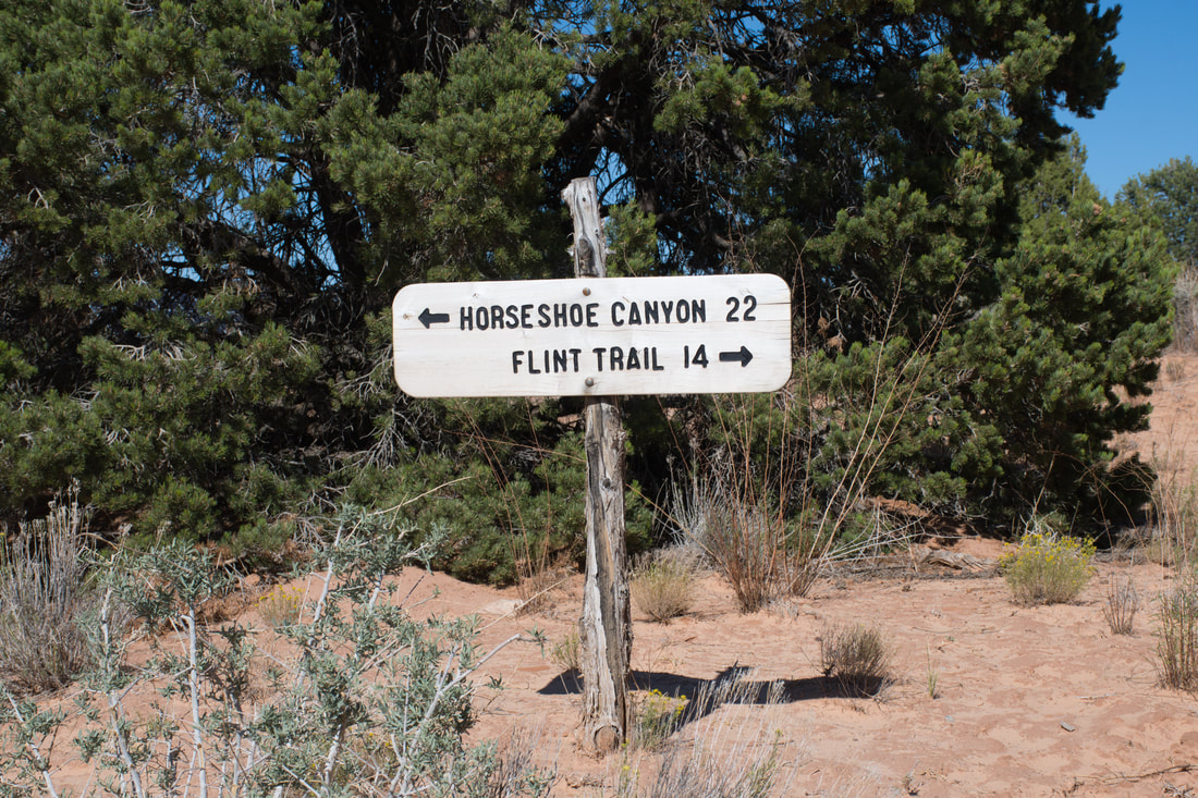
00:17 To Hans Flat Ranger Station 03:47 Flint Trail To Doll House Road 10:17 Orange Cliffs To Highway 95 17:48 Fin The BLM San Rafael Wilderness and the Canyonlands National Park Maze District beckon to be explored, but a visitor must be well prepared for adventures in this unforgiving desolate region of Utah. Good navigation skills will be essential and researching the dirt road conditions ahead of time will help to prevent some very costly vehicle extraction fees, which are no laughing matter. From the paved highway, many of the lengthy dirt access roads going into this region are deceptively smooth and an average ground clearance passenger car can get to certain points of interest, but alternatively, there are also dirt trails in this region that can thoroughly destroy a modified rugged 4x4, so knowing what lies ahead is essential for returning home in one piece. There are steep switchbacks going downhill into Canyonlands where once a vehicle starts the trail. there will be no way to turn around or even put it in reverse and from that point on only the driving skills and the capability of the vehicle will determine the outcome. For this reason, only a high ground clearance 4x4 vehicle is recommended for expeditions into this vast high desert landscape! Mentioning the disclaimers is good to do and there is more. This is a very desolate region, so it is best to pack extra food, fuel and water, just in case the unexpected occurs. Some of the dirt roads are well traveled out this way so getting stranded will not be an issue, while other dirt roads in this region may only see one or two visitors per year and there will be no hope for rescue. A detailed map or GPS device will be needed for navigation, since cel phone mapping systems are not reliable where there are no signals. Fuel management will be essential too, since the dirt roads in the BLM territory and Canyonlands seemingly stretch out forever. Hanksville is the closest place to fuel up and modern amenities can be found here as well. One of the best approaches for tackling the challenges of the Canyonlands Maze District is to start the venture at the Hans Flat Ranger Station. The Hans Flat Ranger Station serves both Canyonlands National Park and the Orange Cliffs region of the Glen Canyon National Recreation Area, so a wealth of information about the trails and points of interest can be found in this place. Plenty of friendly advice can be found here too, which can help to prevent deep trouble further down the road. The Hans Flat Ranger Station is open everyday and the brochure maps will certainly be handy, so be sure to make this the first stop when planning a Maze District outing. From Hanksville, the easiest route to the Hans Flat Ranger Station is to follow Highway 24 north to Emery County Road 1010, which is a dirt main road that goes east well into this territory. This dirt road changes names several times as it passes through various public lands territories, but there is adequate signage directing visitors to the Hans Flat Ranger station all along the way. The total length from Hanksville is about 60 miles and this section of dirt road actually is fairly smooth, so even light duty SUVs can handle this part of the trip. Along this dirt trail there are all sorts of towering buttes, intriguing red rock formations and high desert sage brush savannas, so the scenic views will be non stop. There is even a vast orange sand dunes area that stretches out to the horizon, which attracts landscape artists worldwide. Leave no trace camping opportunities can be found on the side roads and information about camping inside the two national parks is freely available at the Hans Flat Ranger Station. From the Hans Flat Ranger Station, it is very easy to access Horseshoe Canyon inside the Canyonlands Maze District. Going the opposite direction on the Flint Trail will lead to the Doll House scenic area access road and the Orange Cliffs District of Glen Canyon, but this travel route definitely is not recommended. The Flint Trail switchbacks that go down into the canyons thousands of feet below have not been maintained for a few years, so this road is beyond treacherous, even for a modified 4x4. There is one deep dirt road washout and one huge boulder rockslide covering the road after another all the way downhill, which require technical driving skills, a five foot tall jack and a very heavy duty vehicle. I know, because I made the mistake of driving the Flint Trail from the Hans Flat Ranger Station down the switchbacks to Doll House Road in a stock Jeep, but that is a story for another time. As mentioned earlier, going from the Hans Flat Ranger Station to Horseshoe Canyon is recommended and the dirt roads to this intriguing destination are smooth sailing nearly all of the way there!
0 Comments
Your comment will be posted after it is approved.
Leave a Reply. |
Leave no trace!
New!
Destination West YouTube channel! https://www.youtube.com/@DestinationWestOrg *The Destination West website upgrading project is well underway. Unique YouTube slideshows are replacing the outdated Flickr photo galleries. The new videos feature modern graphics and alternative music instrumentals that enhance the viewing experience. Some articles are being condensed, while others are getting much needed edits. As everybody knows, the bulk of the original articles and photos were published on the fly during the Covid camping venture and there were limitations. Upgrading is the way to go and more articles will receive a makeover each week until this project is completed. After that, I will be able to gather new material. There is light at the end of the tunnel!
JD Lane Archives
July 2024
Donations help the Destinaton West project continue into the future!
Go Fund Me! This website uses marketing and tracking technologies. Opting out of this will opt you out of all cookies, except for those needed to run the website. Note that some products may not work as well without tracking cookies. Opt Out of Cookies |
