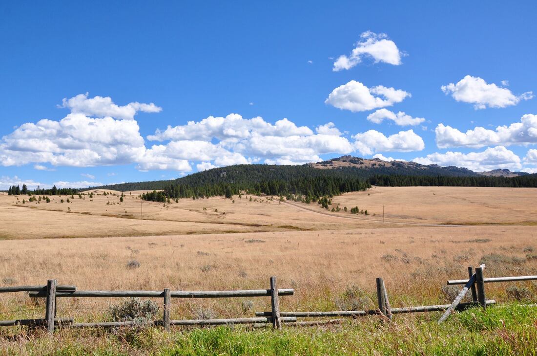
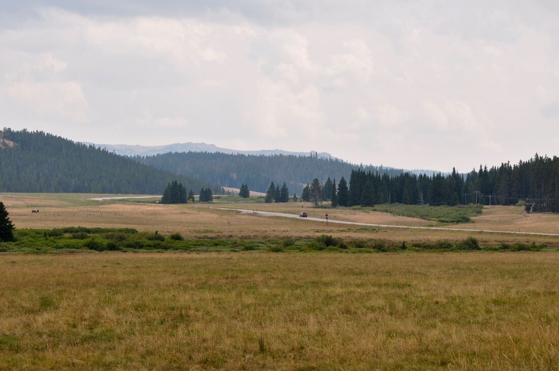
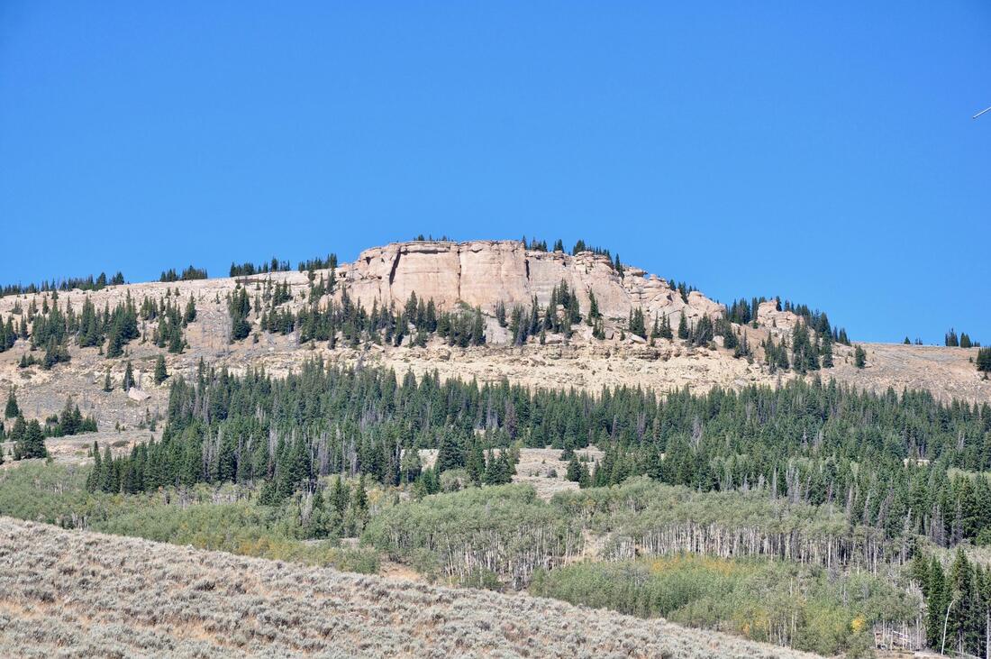
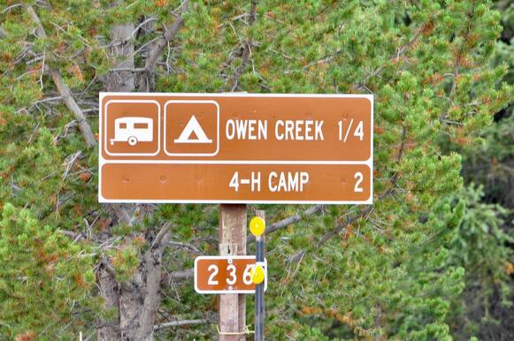
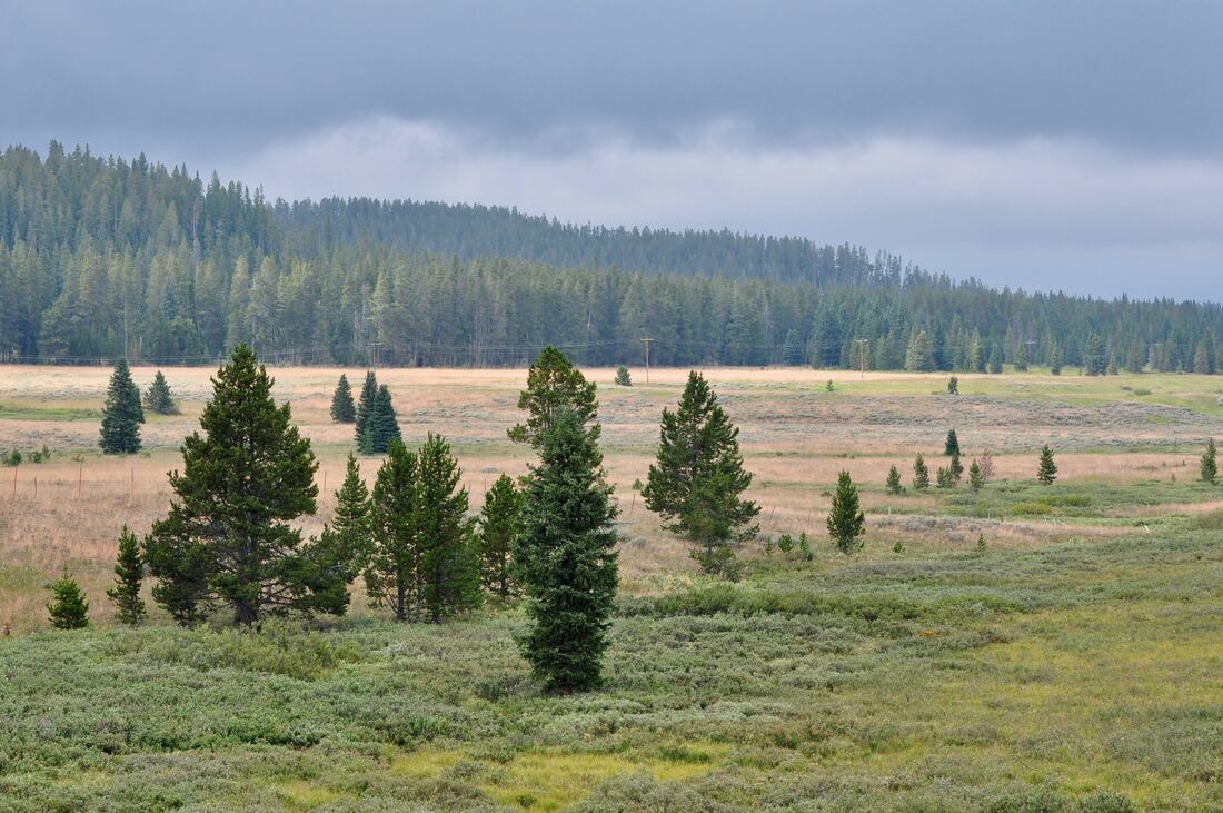
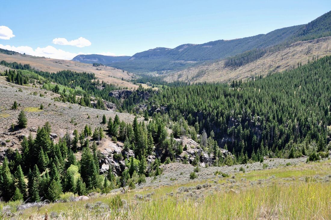
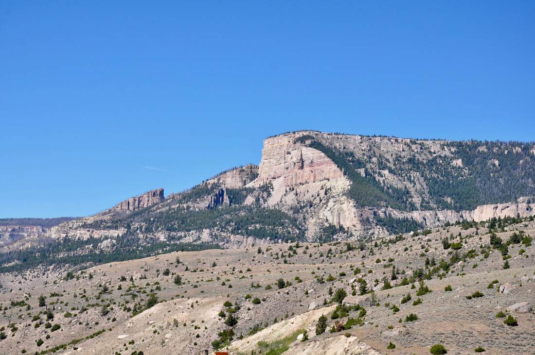
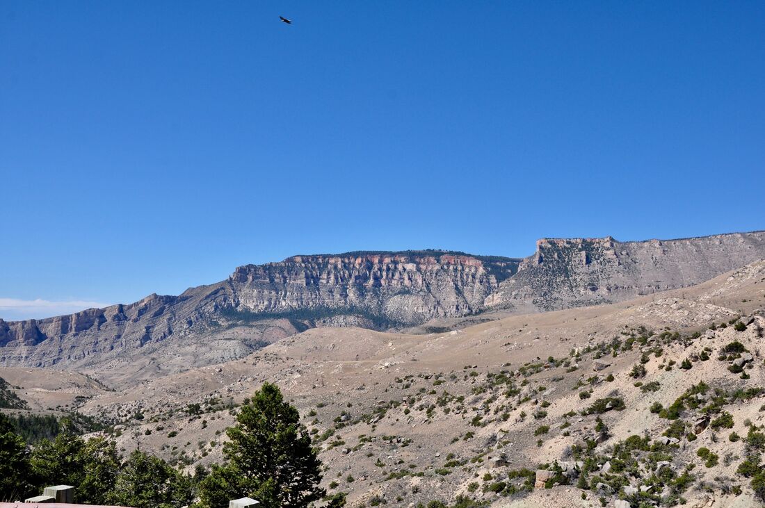
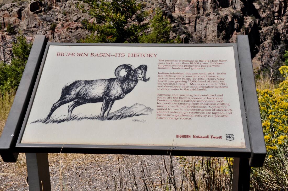
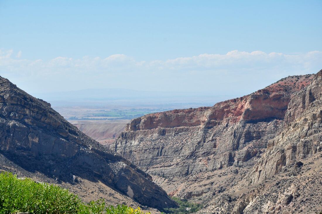
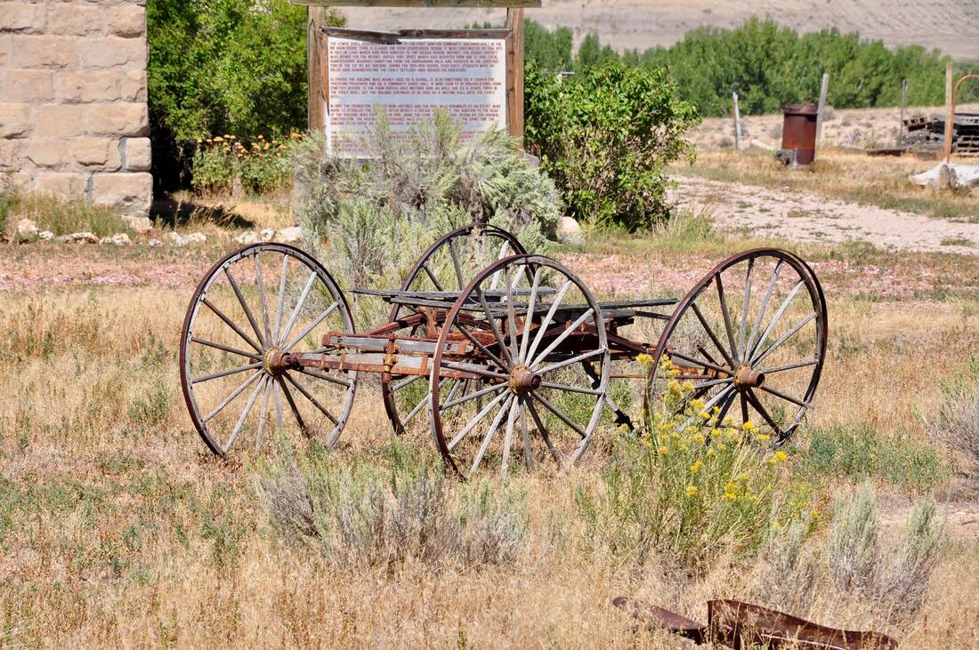
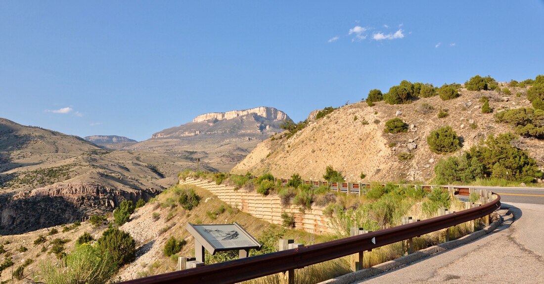
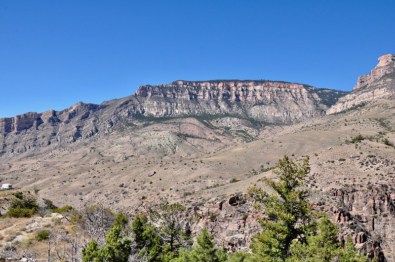
The Bighorn National Forest in north central Wyoming definitely is the land of wide open spaces and panoramic views. No matter which highway through the Bighorn that a traveler chooses, the trip will be guaranteed to be a memorable scenic drive. The Bighorn National Forest borders cover a mountain plateau that rises above the surrounding high plains. The Bighorn Mountain Range elevations range from 5,000 feet at the base of the bluffs to over 13,000 feet on the highest mountain. Summer temperatures in the valley can be over 75ºF, while the temperatures can be below freezing in elevations above 9,000 feet. In fact, snowstorms in the second week of August are not uncommon way up top in these mountains. Because of the environmental extremes, the Bighorn National Forest offers many microclimate terrains to experience! Just like with most National Forests, only a few paved roads run through the Bighorn. U.S. Highway 16 runs through the southern end of this National Forest and Highway 14 is the travel route through the northern portion. In between the two highways is a vast wilderness area that can only be access by 4×4, horseback, mountain biking or hiking. In the northern section, a large portion of the National Forest has been turned into ranch land, but there are still plenty of deep woods. For those planning a trip to the Bighorn, there is no reliable cel phone service or data signal. Most of the business land line phones are unreliable too, so just plan on having no communications when visiting this place, unless you have a satellite system. I worked in the Bighorn for a short time and I actually had to drive to Dayton, Wyoming just to get a cel phone signal. In order to get fast internet access, I had to drive all the way to a public library in Ranchester or Sheridan, which was a real pain in the neck when trying to do business on the mountain. What this all adds up to is when touring the Bighorn, bring a paper map or GPS and do any internet research prior to arrival. When touring the northern section of the Bighorn, Highway 14 is the paved road touring option. Highway 14 splits into three different directions at Burgess Junction, which is located at a central point in the mountains. At Burgess Junction, Highway 14 runs northeast to Interstate Highway 90 in Ranchester and Highway 14A runs due west to Cody. The third Highway 14 option runs southwest to Greybull and is featured in this article. When planning a trip into the Bighorn National Forest, it is best to stock up on supplies, food and fuel before entering this territory. There are plenty of campgrounds and some very rustic lodging on the mountain plateau, but there are no places to get supplies, other than bottled drinks and snacks. Packing your own food is a far better option than dining out on this mountain for many good reasons. Camping out in this National Forest is what most visitors do and most stay for about one week. A good Bighorn excursion plan is to use the campsite as a long term basecamp for fly fishing, hunting or four wheeling adventures. Self sufficiency and planning is the way to make this plan happen. The Bighorn is an outdoorsman’s paradise and during the summer season the main activities are trout fishing, hiking, wildlife watching and 4×4 trail riding. Autumn is the rutting season and this is when the hunters head up into the Bighorn Mountains. During winter, the Bighorn offers cross country skiing, snowshoe hiking and snowmobiling. Outdoor outfitters, grocery stores and modern amenities can be found in the neighboring town of Sheridan. The rest of the small towns near the Bighorn do not offer much more than a gas station and maybe a dollar store. On the plus side, hunting and fishing guides can be found in all of the small towns that surround the bighorn. ATV and snowmobile rentals are available too, so there is plenty of opportunity to join in on the fun! Points of interest and scenic views along Highway 14 south between Burgess Junction and Greybull are featured in this article’s photo album. As can be seen, the high elevation terrain ranges from mountain meadow cattle ranches to deep forested wilderness areas. A few roadside campsites and hiking trailheads can be found aloung Highway 14 when going south and there are a few Jeep trails too. It is the canyons section at the edge of the mountain plateau near Greybull that receives the most attention on this touring route, because this is a good place to spot Bighorn Sheep in the rocky terrain. There is no easy way to go up or down in the Bighorn Mountains. Highway 14A West has very steep grades. Highway 14 East and Highway 14 South have road grades that are slightly easier to negotiate. The grade is steep through the canyons section of Highway 14 South, so engine braking on the downhill run will be necessary. RV campers going uphill should take a few breaks to avoid overheating. For muscle car and sports car buffs, driving the canyons section of 14 South is just about as challenging as is it gets, but the temptation to speed increases the danger of hitting a large wild animal, which often mosey across the road in these parts. The Bighorn offers endless outdoor adventures during the summer season and planning an extended stay basecamp is the best way to go. Campfire cuisine is the best dining option and some fresh caught Brook Trout and eggs for breakfast always gets the nod. The wildlife is everywhere in this National Forest and there are a few famous landmarks to be seen. Daytime temperatures up on the mountain are comfortable during summer and the nights can be quite chilly, so be prepared to bundle up when the sun goes down even in July or August. The Bighorn National Forest is relatively tame, yet it can be as wild as it gets. This what is so appealing about visiting this unique mountain plateau!
0 Comments
Your comment will be posted after it is approved.
Leave a Reply. |
Leave no trace!
New!
Destination West YouTube channel! https://www.youtube.com/@DestinationWestOrg *The Destination West website upgrading project is well underway. Unique YouTube slideshows are replacing the outdated Flickr photo galleries. The new videos feature modern graphics and alternative music instrumentals that enhance the viewing experience. Some articles are being condensed, while others are getting much needed edits. As everybody knows, the bulk of the original articles and photos were published on the fly during the Covid camping venture and there were limitations. Upgrading is the way to go and more articles will receive a makeover each week until this project is completed. After that, I will be able to gather new material. There is light at the end of the tunnel!
JD Lane Archives
July 2024
|
