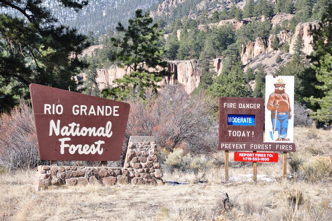
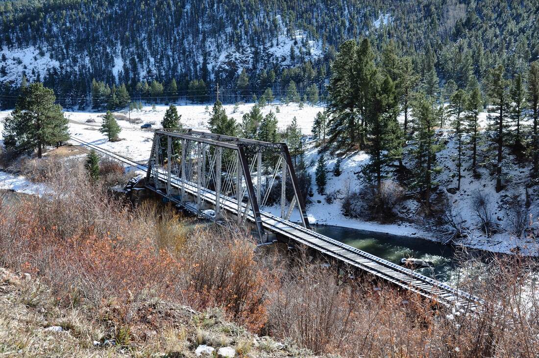
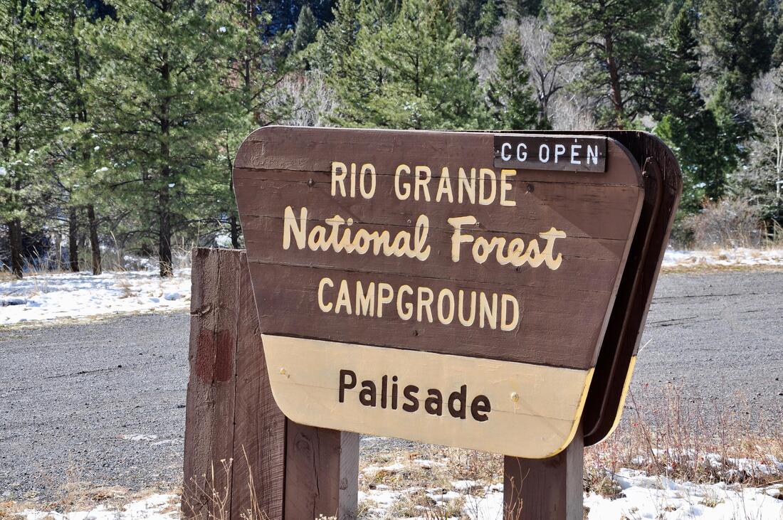
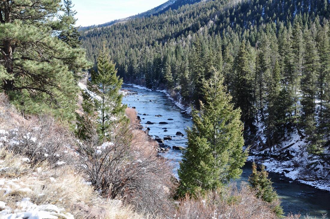
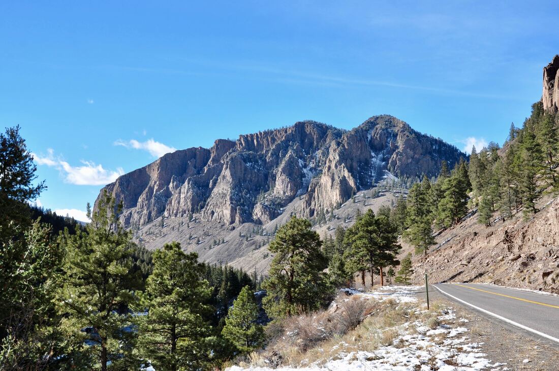
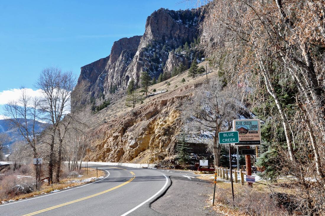
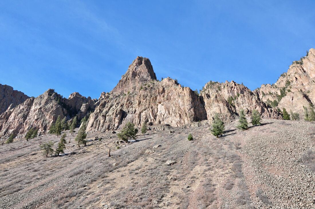
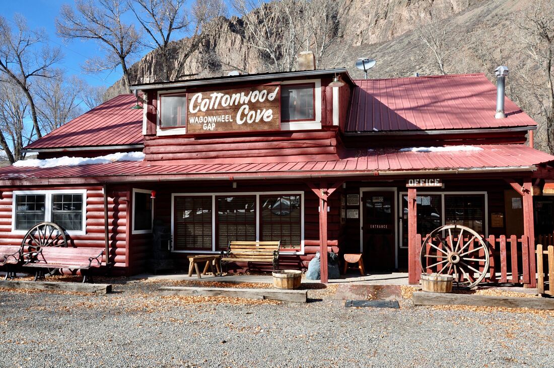
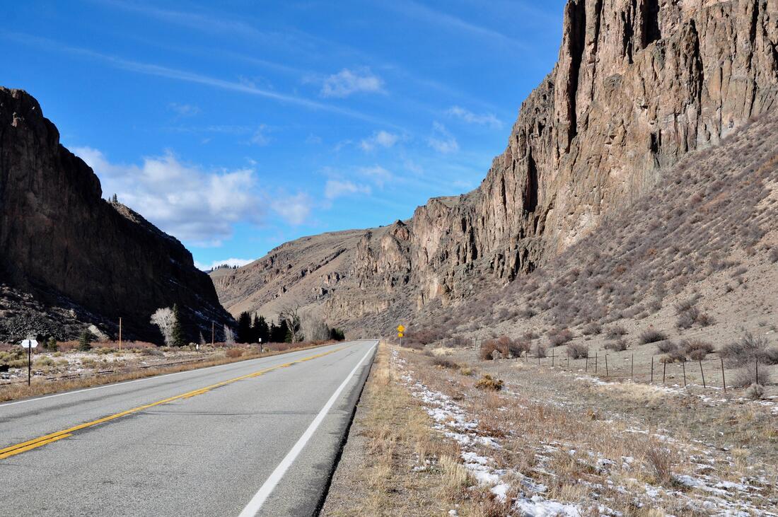
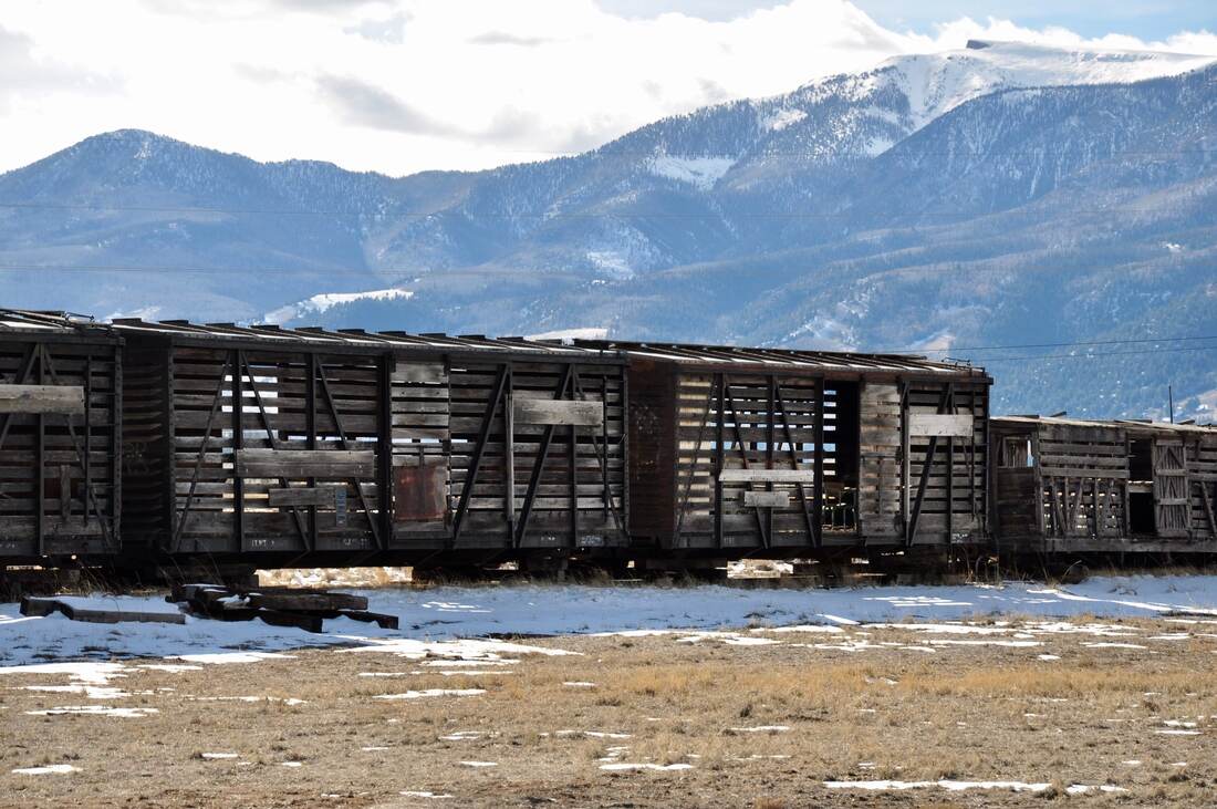
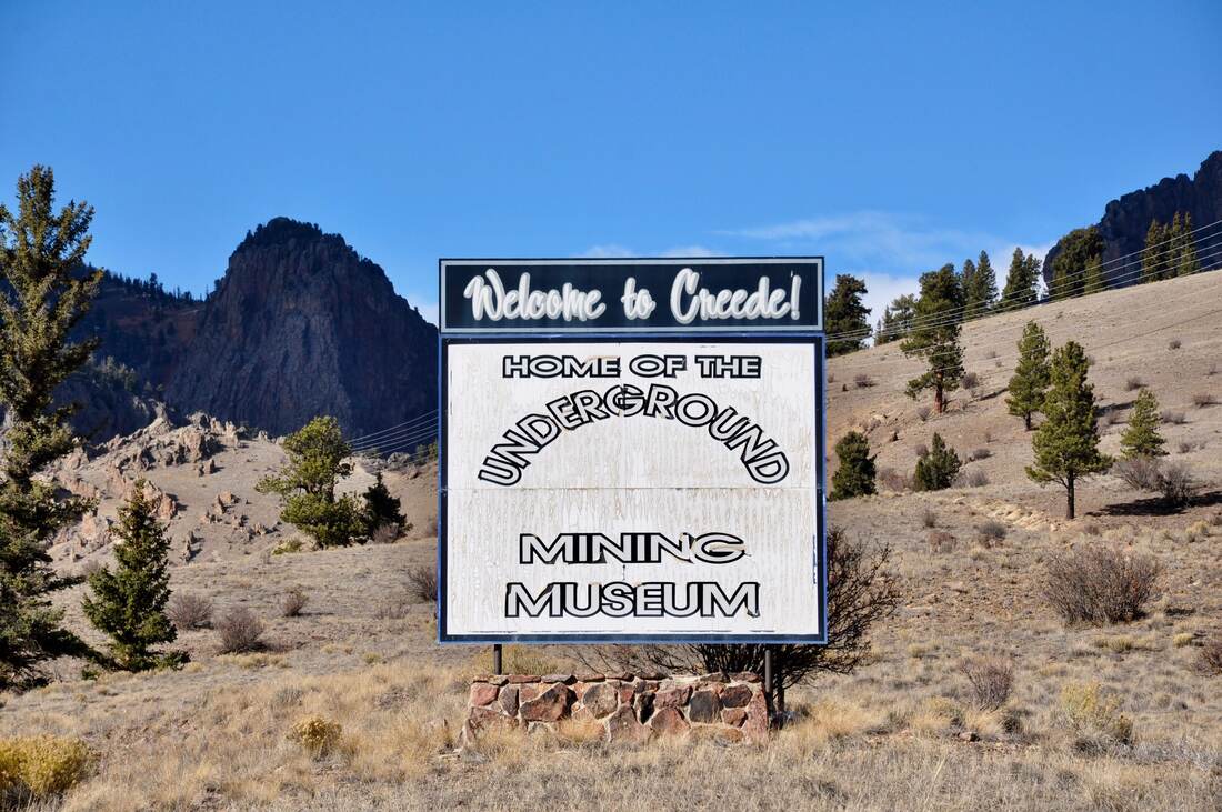
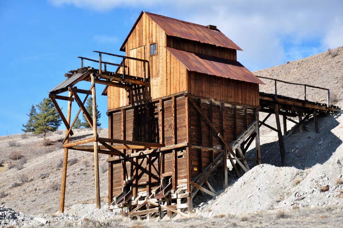
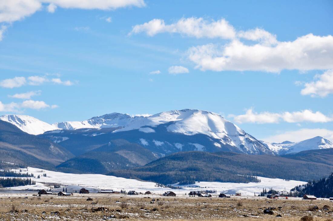
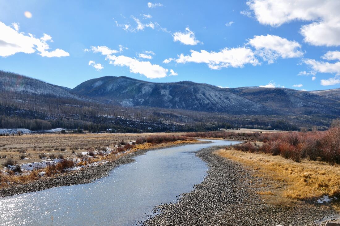
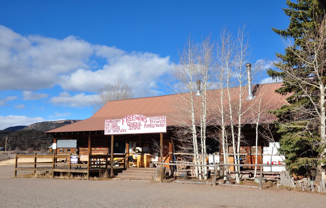
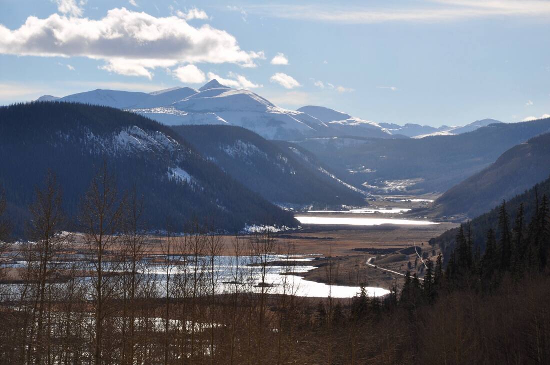
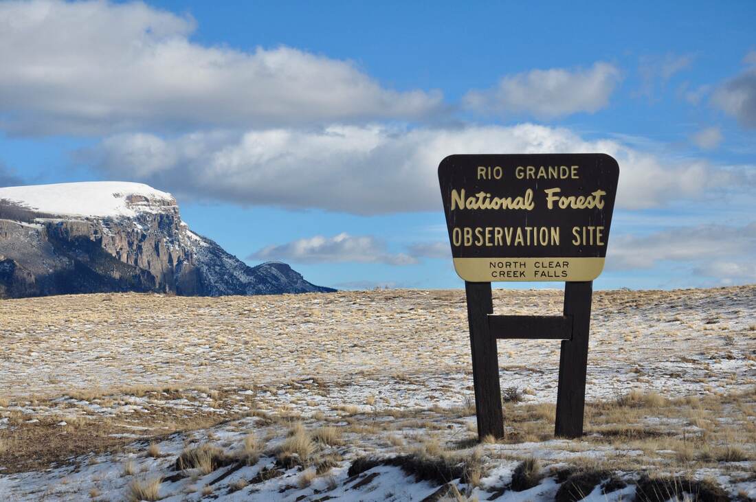
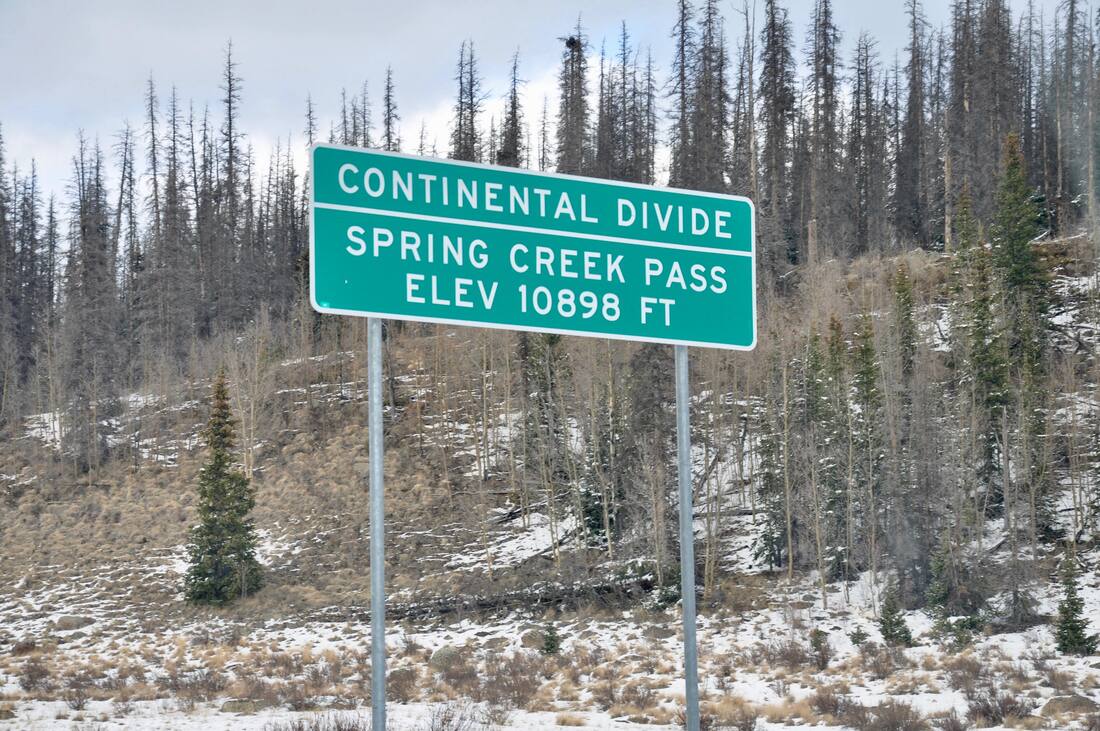
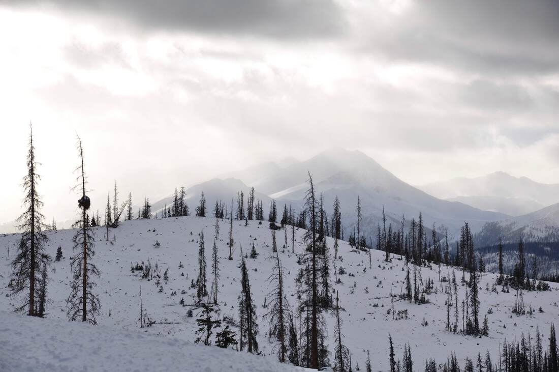
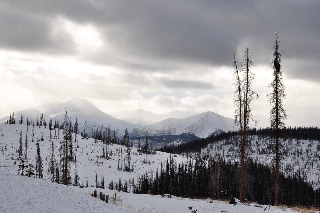
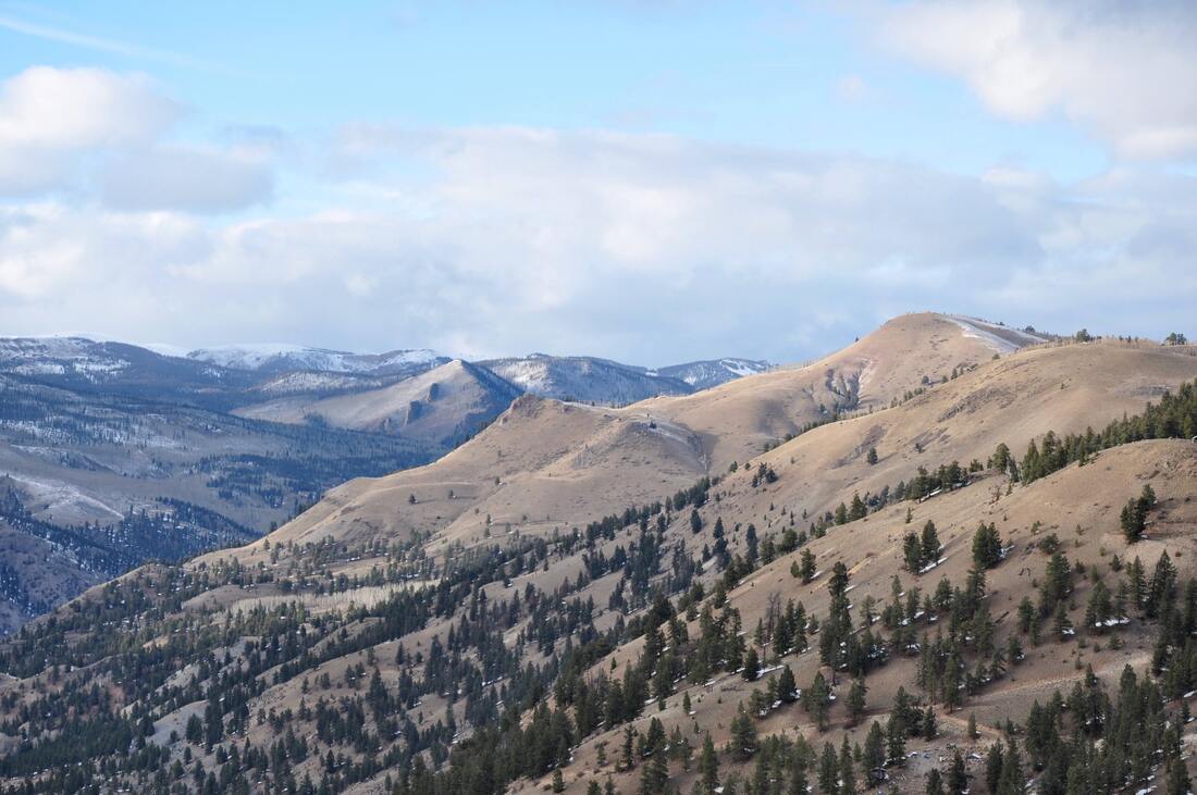
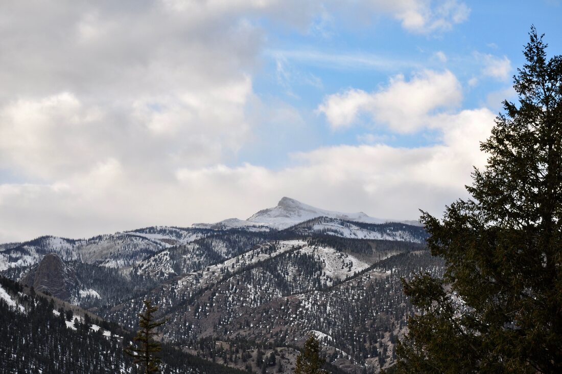

A fall season scenic drive in the Rocky Mountains after the first snow is a refreshing experience. The air is crisp, clean and invigorating to the soul. For those who seek something to do in the high elevations between the busy winter and summer tourist seasons, a great choice for a path to follow is Highway 149 through the Rio Grande National Forest! Depending on the elevation, the tourist destinations in the Rocky Mountains can have two or four seasons. At places that are about 5,000 to 8,000 feet above sea level, all four seasons can be experienced and the autumn season can last a few weeks. Up above 10,000 feet high in the Rockies, the spring and fall seasons usually do not last long. For this reason, if you want to do an autumn season scenic drive in this region, it is best to be ready to get the show on the road on short notice. The Rio Grande National Forest is a prime example of a high elevation destination that has a short spring and fall season. The winter is long and cold in this National Forest and summer is more like springtime anywhere else. For outdoorsman that are into a long winter sports season or a place to stay cool during the peak of summer, the unique weather associated with the high elevation Rio Grande National Forest is like a dream come true! Taking a scenic drive just to see the early autumn season snow in the Rocky Mountains is an invigorating experience! All it takes is one deep breath of the crisp cool fresh mountain air to feel full of life! There are no big crowds or long waiting lines to deal with, like there is during the busy summer tourism season. Just about the only people in this region during autumn are seasonal hunters looking to fill the meat locker before winter arrives. An autumn season scenic drive in the Rockies offers plenty of breathing room, fewer cars on the road and more opportunities to take in the great views of the snow capped mountains! The downside of taking an autumn scenic drive in the Rockies is that a visitor will be stuck between the two busy tourist seasons. The businesses that cater to summertime outdoor sports enthusiasts will be boarded up for the winter and businesses that cater to the winter sports crowd will not quite be ready to open the doors. With the dramatically reduced vehicular traffic, the local businesses may only be open during peak times of the week or not open at all. This means that the choice of accommodations, dining and shopping will be limited and it will be best to inquire ahead of time. State Road 149 runs 170 miles from the town of South Fork in south central Colorado all the way up to U.S. Highway 50 near Gunnison and Montrose in west central Colorado. SR 149 runs through the the middle of the Rio Grande National Forest and part of the southern end of the Gunnison National Forest. As can be imagined, the Rocky Mountain scenery along this road is as beautiful as can be! Because this highway follows the Rio Grande River through the mountains, most of Highway 149 goes through high elevation meadows and river valleys, so the drive is not nearly as treacherous as some of the other mountain roads in this state can be. It is pretty much all smooth sailing and there are only a couple of high mountain passes up toward Lake City to contend with. If you do this scenic drive between the busy tourist seasons, do not be surprised if you end up having this road all to yourself. In fact, while doing this drive the day after a brief autumn snow storm, I only counted about a dozen other cars on the entire length of this road. Less traffic definitely enables more opportunities to enjoy the majestic views along the way! When I did the Colorado State Road 149 scenic drive through the Rio Grande National Forest, I started in South Fork and followed the road northwest. I have lived in remote western locations during the last decade, so I knew what to expect. Because autumn is a short tourism lull for businesses in these parts, it is best to top off the tank in South Fork before setting sail. Stocking up on drinks, snacks and maybe even a full meal is a good idea while in South Fork too, because there may be few options later on down the road. There are a couple of historic old west towns along the way that are well worth checking out. The town of Creede was once a booming silver mining camp back in the late 1800s and this town has risen in popularity as a summer season destination in recent years. Little old wild west towns in the mountains are always a great weekender draw, especially for motorbike and car touring clubs while the weather is warm. The little town of Creede can get crowded fast in the busy summer season, but during autumn Creede looks more like a ghost town. This is because the daytime temperatures can be downright chilly at this high elevation and there is still not enough snow on the ground for the winter sports season to get underway. If you ever wanted to take pictures of old historic Creede without a crowd of tourists standing in front of the camera, then the autumn season is the time to go! Besides, the shops that are open sure will appreciate the business even more. Another famous old west town a little further on up the road is Lake City. In modern times, Lake City is most often thought of as being an access point for the Alpine Loop Jeep trails. The Alpine Loop is world famous for being a 4x4 haven and these rough dirt mountain roads connect with many of the historic mining towns in the San Juan Mountains. From Lake City, a 4×4 enthusiast can tour the dirt roads through a couple of challenging mountain passes to get to Animas Forks and Silverton. Lake City is a busy summertime 4×4 destination, but the dirt roads through the mountains are closed after the first snow. Just like with Creede, the accommodations and amenities will be limited during the short fall season in Lake City, so it is best to plan accordingly. On a side note, there is something else that Lake City is famous for and it has to do with cannibalism. Yes, there was a bit of a Donner dinner party event going on in Lake City back in the days of the old wild west! The Alferd Packer Massacre Site can be accessed year round and this roadside attraction is well worth checking out when doing this scenic drive. The Rio Grande is one of the most famous rivers in North America and Colorado SR 149 follows this old river every inch of the way. For those who wondered where the headwaters are located, there is a spot on the map high in the mountains just east of Silverton where the mountain springs and the spring season snow melt feed the Rio Grande headwaters. As the Rio Grande River heads downhill from the mountain peaks, it reaches the high elevation meadows, where the river seems to meander aimlessly. As the river gains volume going downhill, it becomes more of a force to be reckoned with and the riverbed becomes more clearly defined. In some places in this region, the mighty Rio Grande River has cut deep canyons and there are sections of white water rapids, but for the most part this river lazily makes its way downhill. The views of the Rio Grande River from the roadside are what memories are made of, so be sure to stop to enjoy the majestic scenery while passing through! If taking a scenic drive after the first snow kisses the Rocky Mountains in the fall season sounds like a relaxing way to spend the day, then Colorado Highway 149 through the Rio Grande National Forest will be to your liking! There is plenty of cool fresh air to breathe, cobalt blue skies and the panoramic views stretch out forever. Following the famous Rio Grande River up to its headwaters is also part of the enchantment. The trip through the Rio Grande National Forest is a scenic drive like no other, especially when the first snow of winter arrives during the autumn season!
0 Comments
Your comment will be posted after it is approved.
Leave a Reply. |
Leave no trace!
New!
Destination West YouTube channel! https://www.youtube.com/@DestinationWestOrg *The Destination West website upgrading project is well underway. Unique YouTube slideshows are replacing the outdated Flickr photo galleries. The new videos feature modern graphics and alternative music instrumentals that enhance the viewing experience. Some articles are being condensed, while others are getting much needed edits. As everybody knows, the bulk of the original articles and photos were published on the fly during the Covid camping venture and there were limitations. Upgrading is the way to go and more articles will receive a makeover each week until this project is completed. After that, I will be able to gather new material. There is light at the end of the tunnel!
JD Lane Archives
July 2024
|
