|
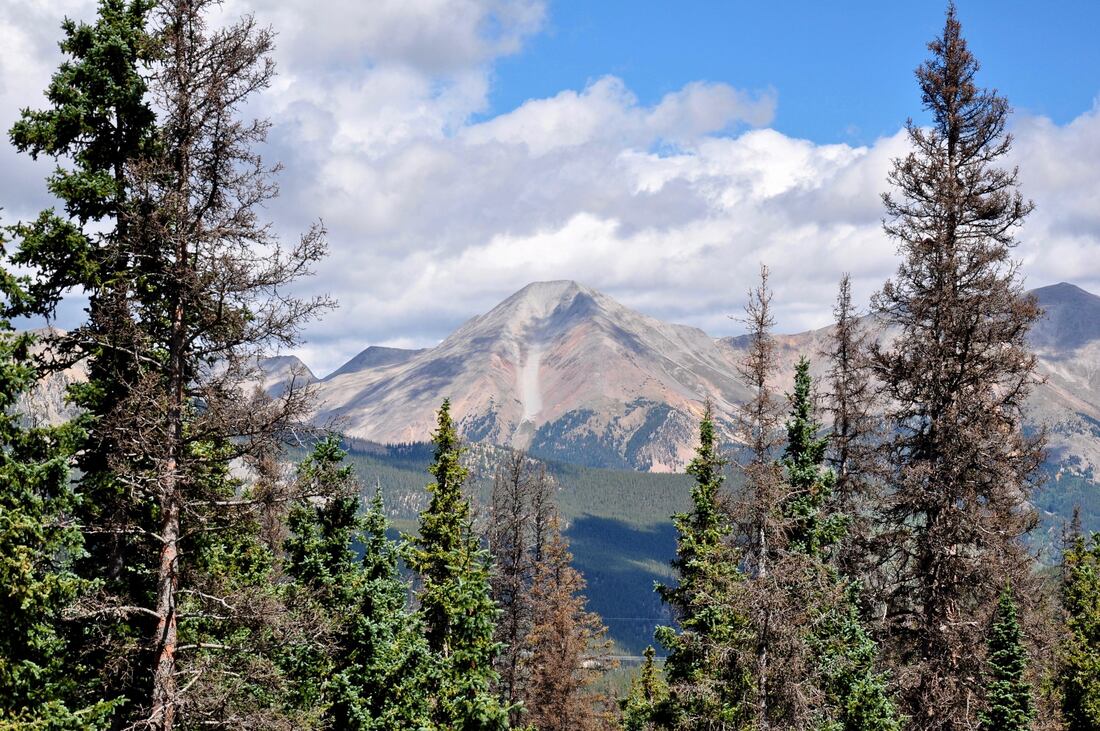
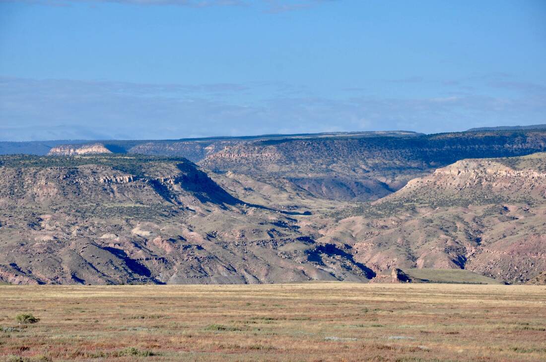
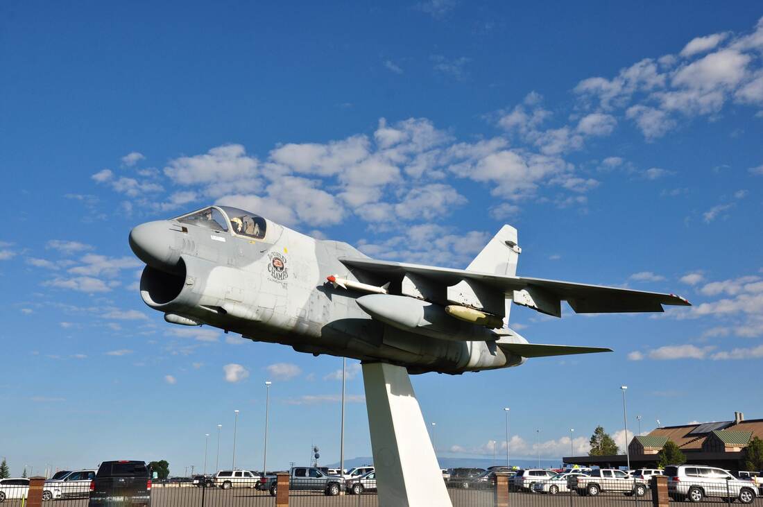
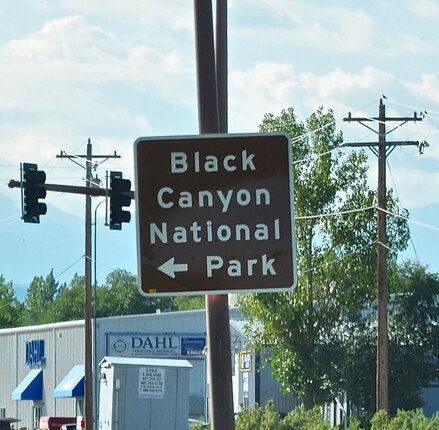
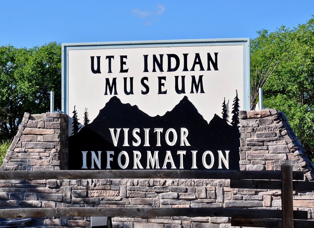
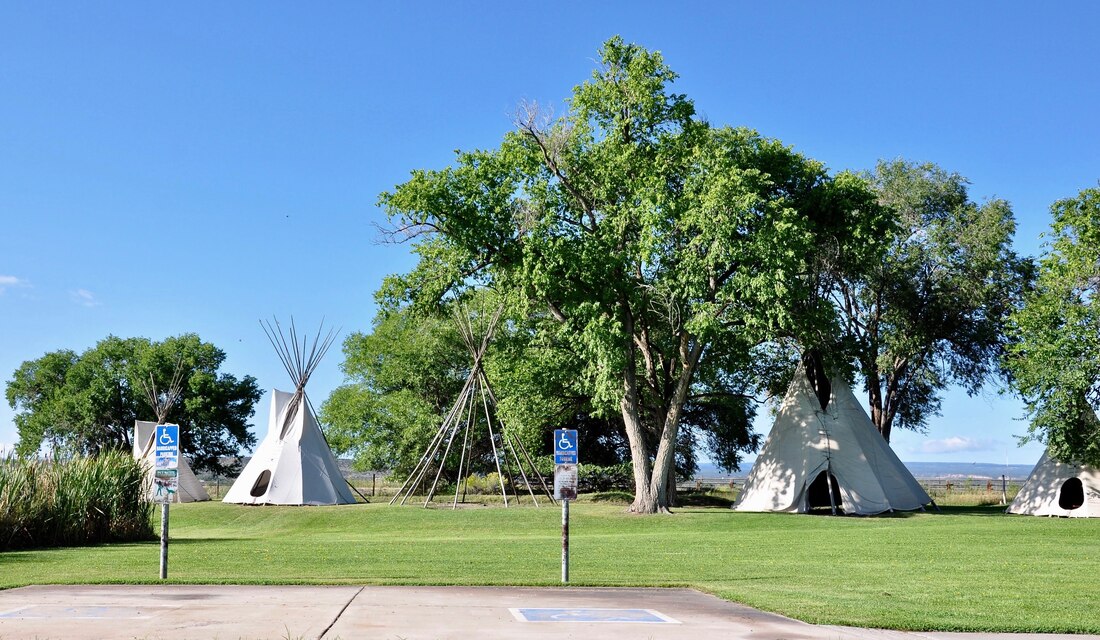
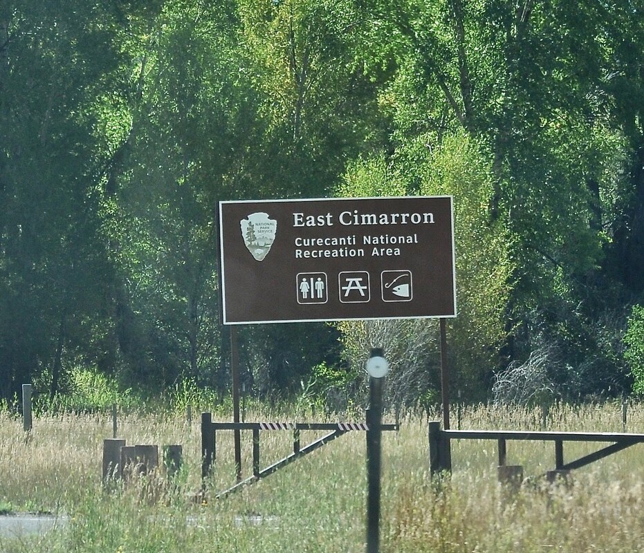
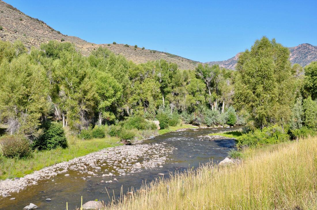
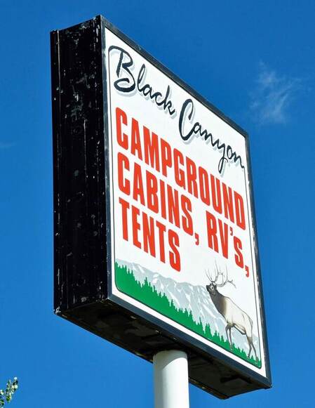
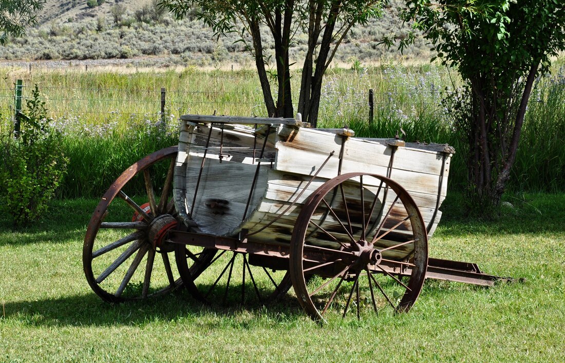
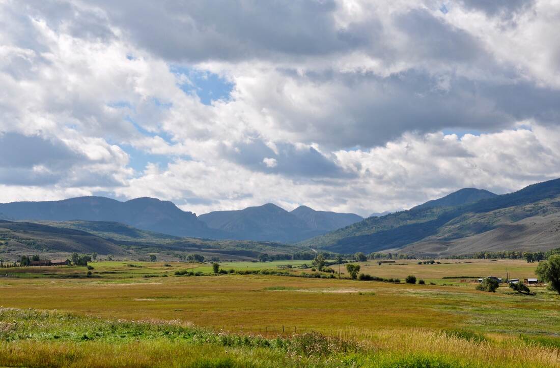
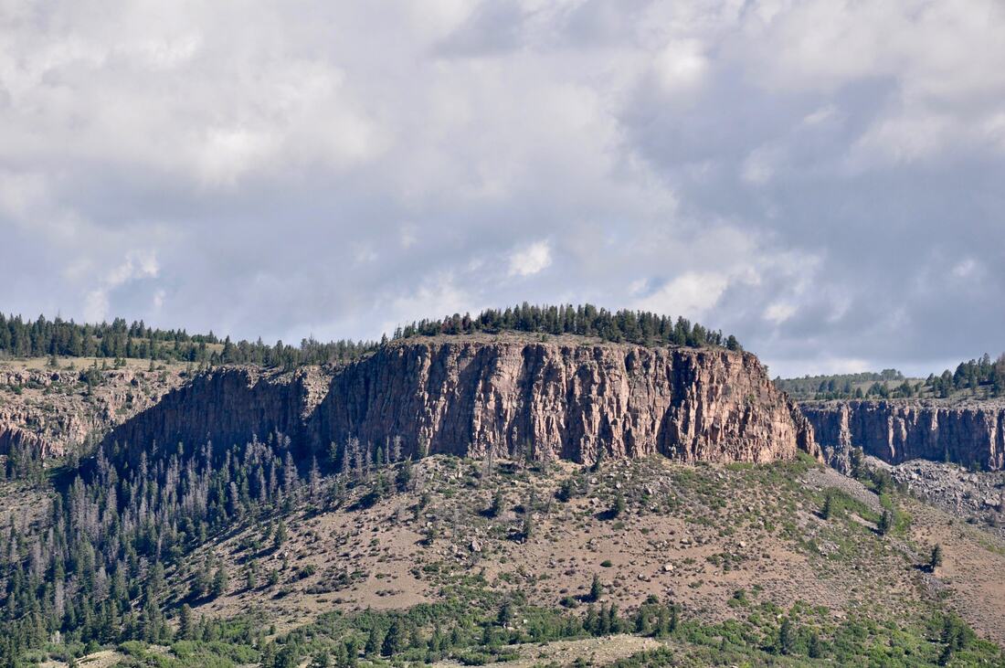
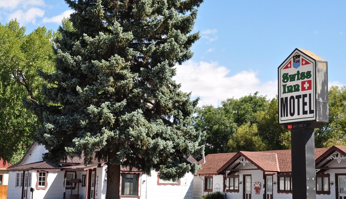
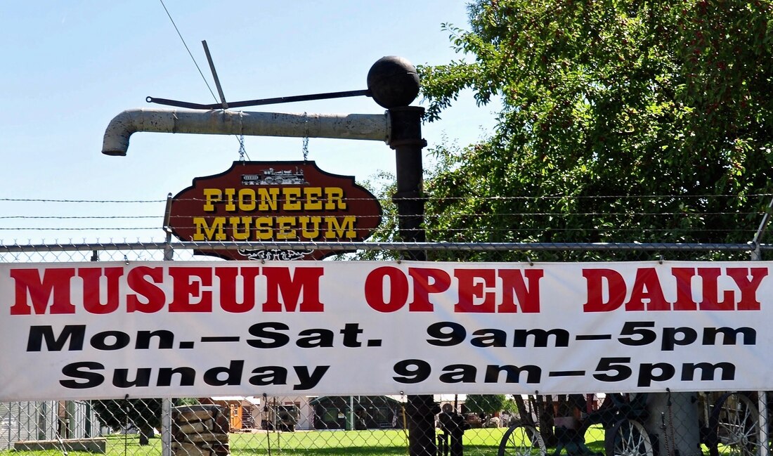
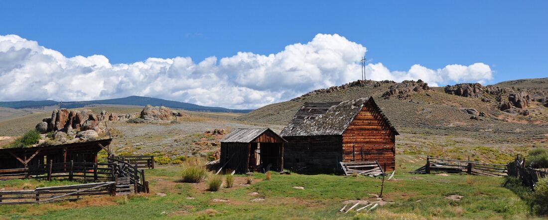
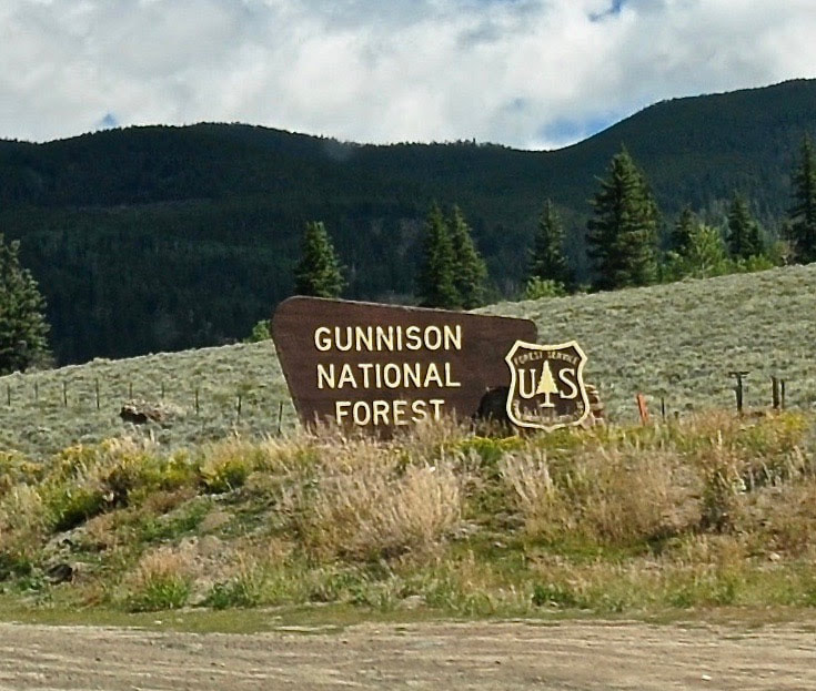
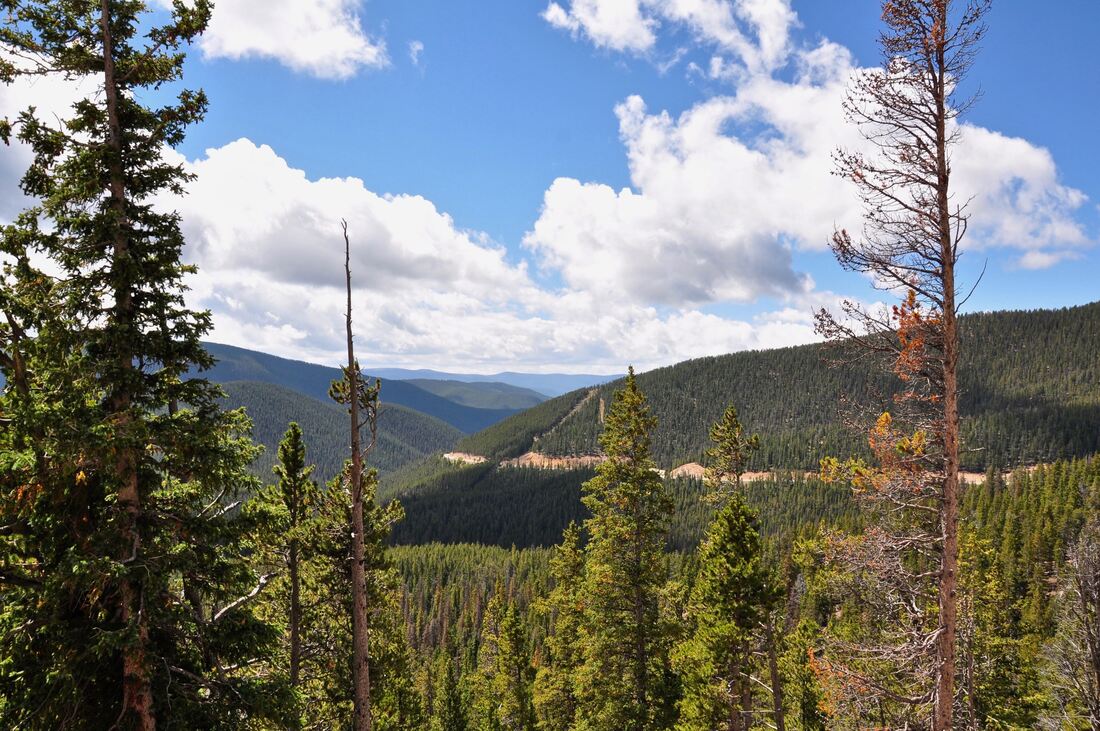
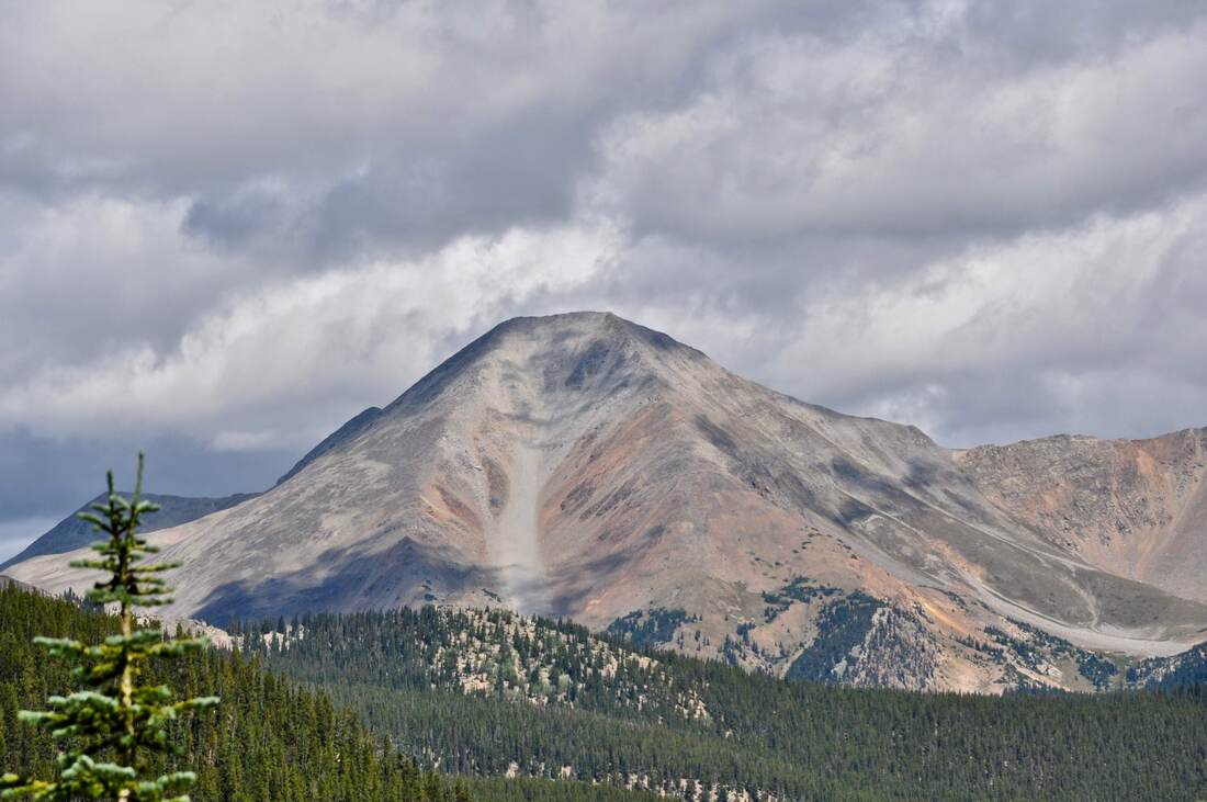
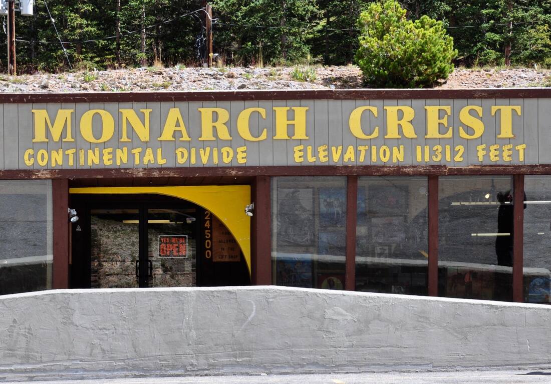
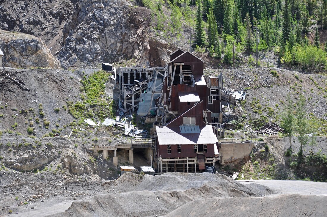
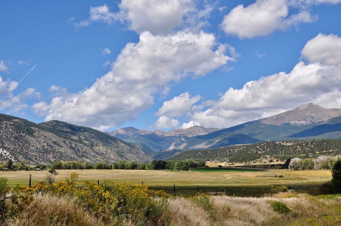
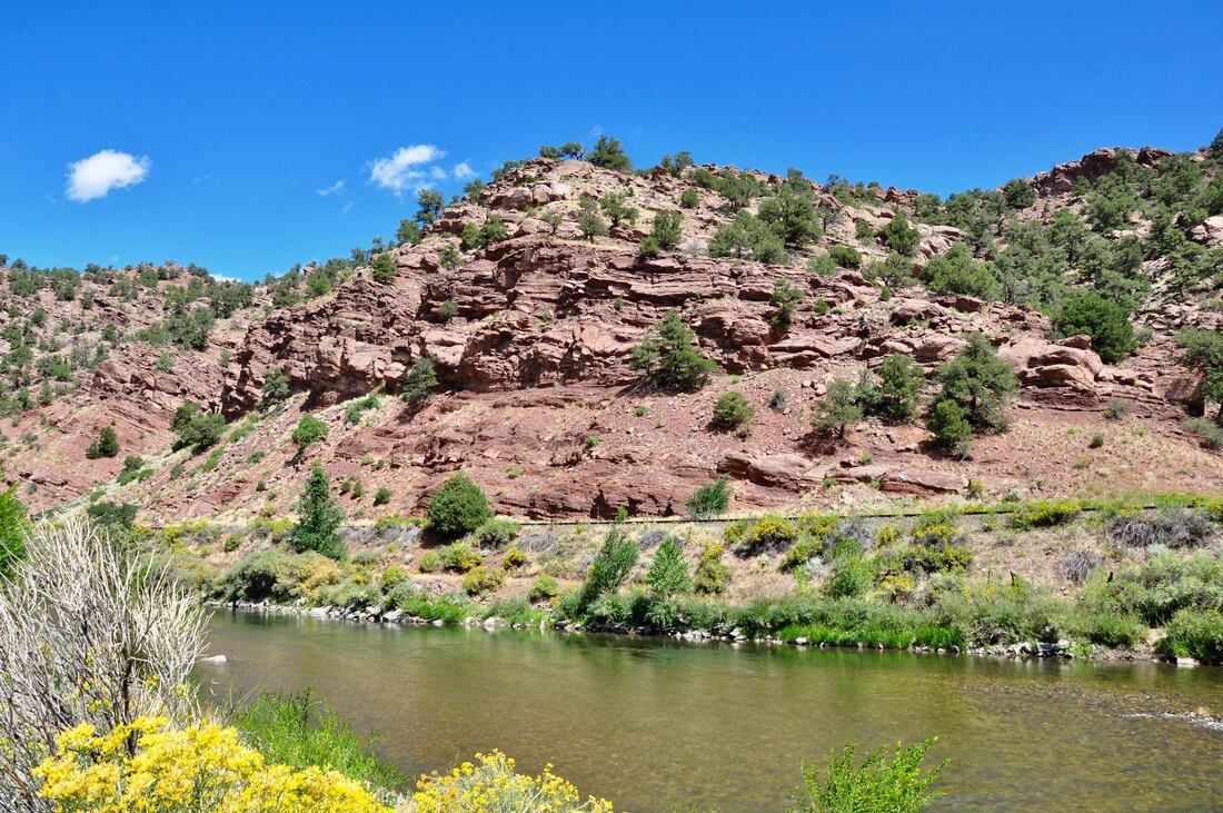
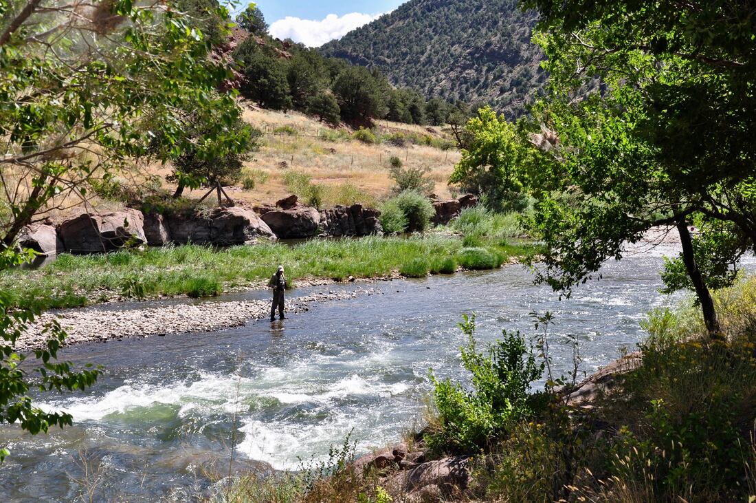
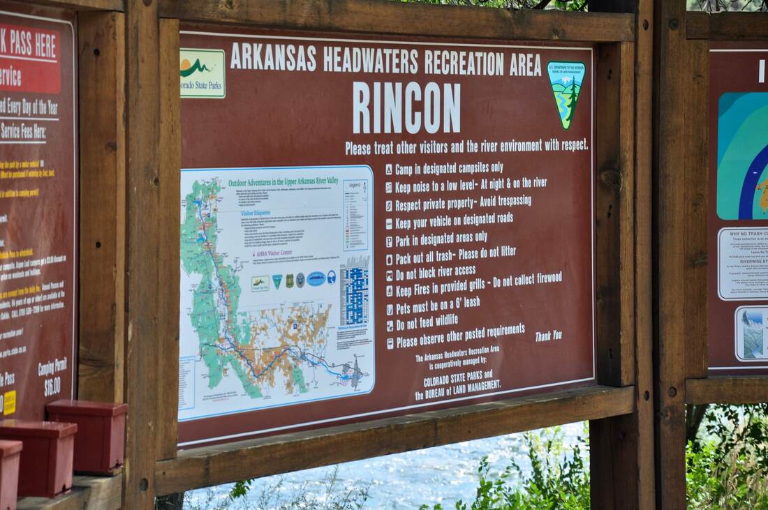
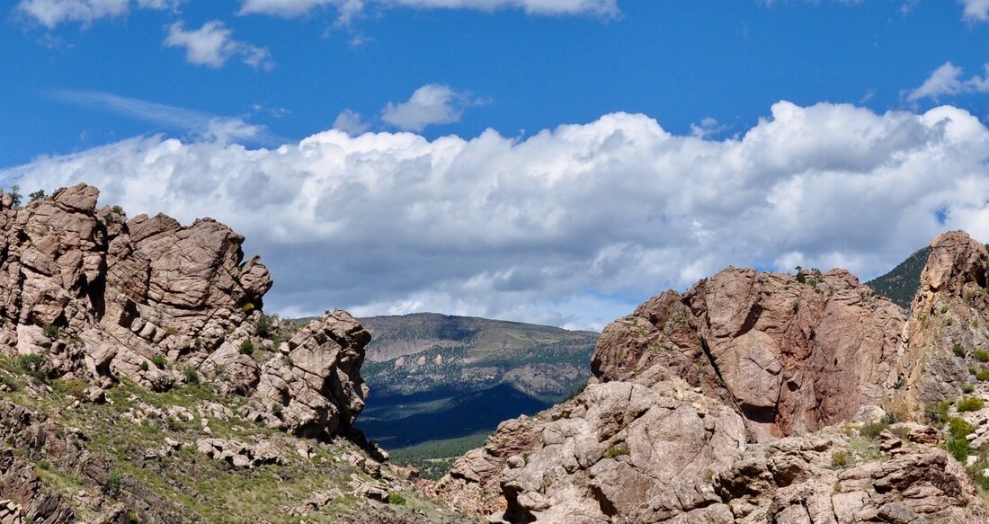
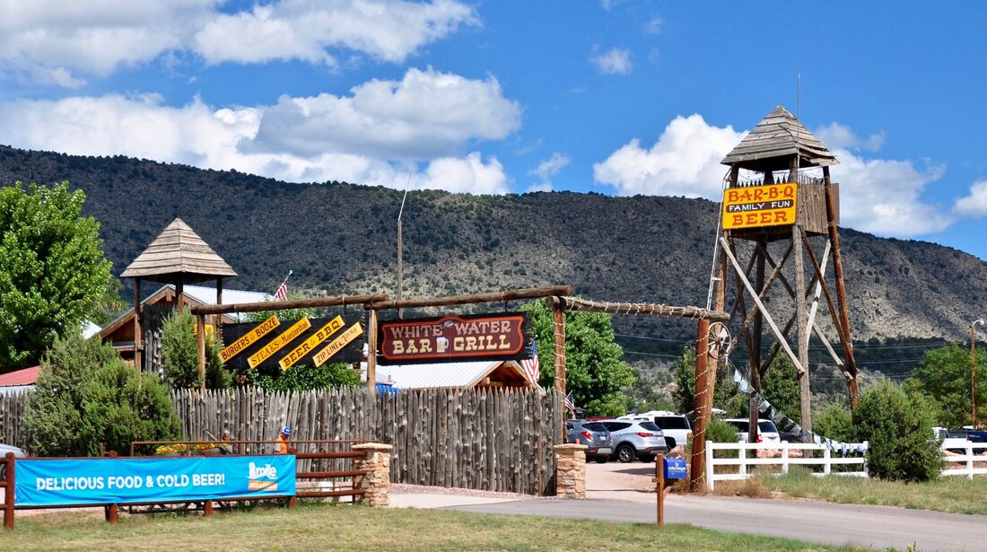
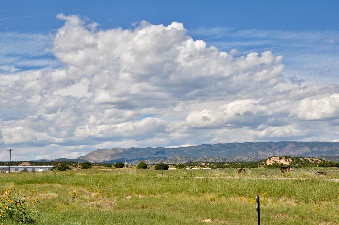
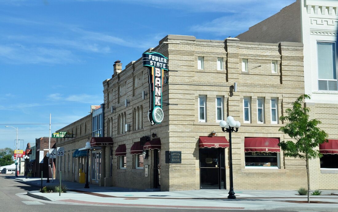
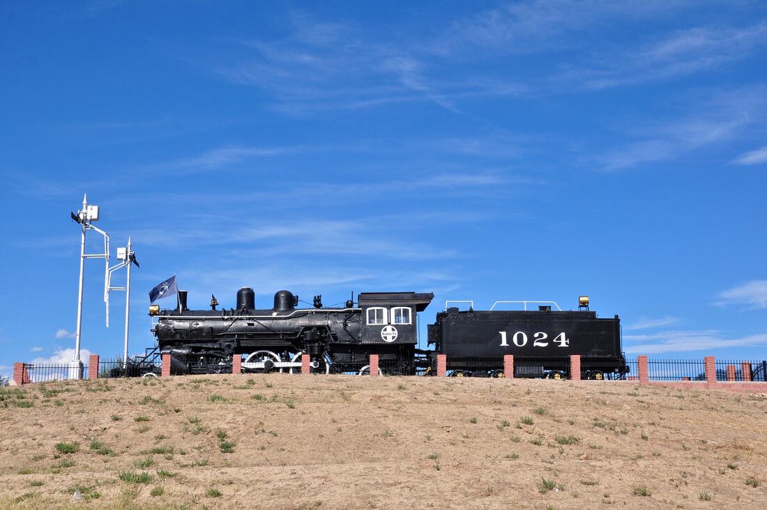
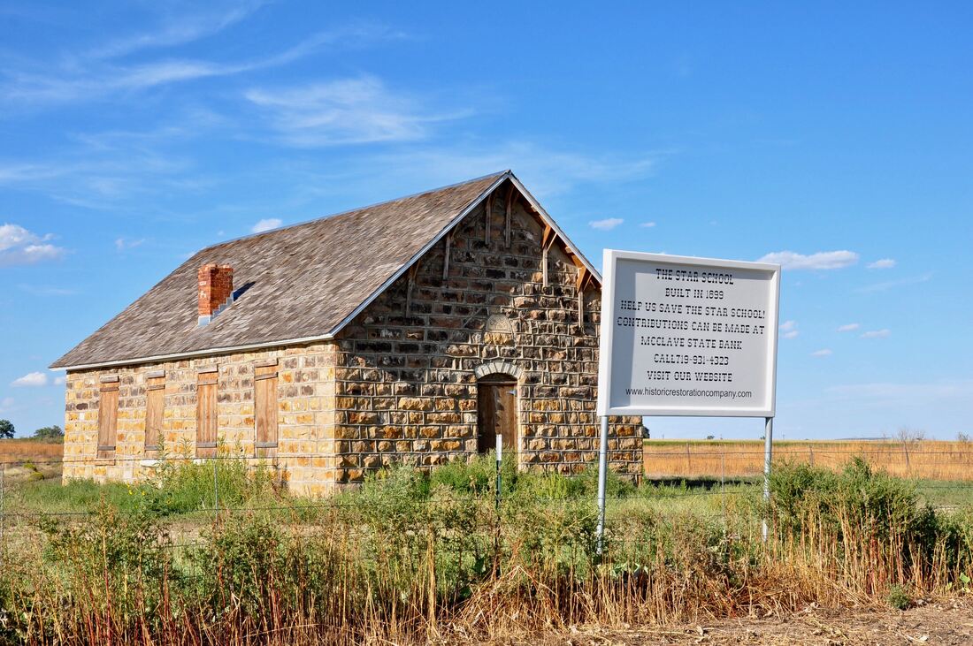
There are three main travel routes through the Colorado Rocky Mountains and each offers a unique touring experience. The busiest road through the mountains is Interstate Highway 70, which is a modern four lane high speed freeway. I-70 is the smoothest route, but is has some very long steep grades. I-70 can also be a traffic jam nightmare during the winter sports season, because many of the highly publicized ski resorts are located along this corridor. I-70 may be the fastest way to go, but this route offers the least roadside activities along the way. U.S. Highway 160 runs east and west along the southern Colorado border and this old road has much less traffic than I-70. The grades are steep near the Continental divide on this road too, but the rest of this travel route is fairly easy on the RV campers and trailer haulers. This is the main travel route to destinations near Wolf Creek Pass, the San Juan Mountains, Mesa Verde Country and Four Corners. The third travel route through the Colorado Rockies is U.S. Highway 50, which runs through the center of the state between Highway 160 and I-70. Just like how Route 66 was bypassed by I-40, Highway 50 was bypassed by I-70, so the amount of traffic on Highway 50 is minimal most of the time. The Highway 50 businesses were economically devastated after being bypassed and the surviving businesses were locked in a proverbial nostalgic time capsule from the golden age of automobile touring. Along Highway 50 through the rockies, a traveler will find Route 66 era motels, local museums, antique shops, classic tourist traps and plenty of items from the nostalgic past from back in the days when long distance automobile touring was number one! Because Highway 50 has been abandoned by the majority of travelers, it is now known as “America’s Loneliest Road.” Plenty of abandoned dreams can be seen along this long highway that goes coast to coast. The traffic is minimal, so there are more opportunities to pull off on the side of the road to take the views in. There are also plenty of camping, boating and fishing opportunities along this long road, so an entire vacation can be planned around a scenic drive on Highway 50 through the Colorado Rockies. The photos for this article begin near Grand Junction and Montrose, Colorado. The album ends near the Kansas border in the Great Plains. Montrose is a vestige of civilization when heading east, so this is the place to stock up for outdoor adventures. Wilderness access roads and the entrance to the Black Canyon Of The Gunnison National Park can be found near Montrose and the Curecanti National Recreation Area is just a little further east. Blue Mesa Lake is a boaters paradise and this high elevation lake is as picturesque as can be! After passing through some narrow steep canyons, the road goes through the rolling high meadows of the central Rockies. There is a lot of pioneer heritage here that is worth checking out and the views of the mountain meadows are easy on the eyes. Near the Continental Divide, Highway 50 does a steep climb up and over the Monarch Crest Pass and then the downhill run goes through thick forests to the Arkansas River Recreation Area. From here it is nothing but a majestic high desert landscape of deep canyons and gorges that the Arkansas River runs through all the way to Pueblo, where the Great Plains meet the mountains. Going east of Pueblo there are a few historic sites to check out in the flatlands and then the Kansas border appears on the horizon. Highway 50 continues east of the border to Dodge City. The rest of the trip on this long road through Kansas is rather depressing, because there are so many abandoned towns and empty businesses. Kansas definitely is where Highway 50 earns the America's Loneliest Road reputation. Highway 50 through the Colorado Rockies is the road less traveled, so it is easy to tour this old road at a leisurely pace. For those who prefer an old fashioned easy going nostalgic trip through the Rocky Mountains, Highway 50 is the best choice. There are plenty of fun outdoor adventures to be found along this seemingly endless road and the panoramic views way up in the mountains simply cannot be beat!
1 Comment
6/23/2023 06:13:46 am
Thanks for the Information. Loved it. Helped with dome choices.
Reply
Your comment will be posted after it is approved.
Leave a Reply. |
Leave no trace!
New!
Destination West YouTube channel! https://www.youtube.com/@DestinationWestOrg *The Destination West website upgrading project is well underway. Unique YouTube slideshows are replacing the outdated Flickr photo galleries. The new videos feature modern graphics and alternative music instrumentals that enhance the viewing experience. Some articles are being condensed, while others are getting much needed edits. As everybody knows, the bulk of the original articles and photos were published on the fly during the Covid camping venture and there were limitations. Upgrading is the way to go and more articles will receive a makeover each week until this project is completed. After that, I will be able to gather new material. There is light at the end of the tunnel!
JD Lane Archives
July 2024
Donations help the Destinaton West project continue into the future!
Go Fund Me! This website uses marketing and tracking technologies. Opting out of this will opt you out of all cookies, except for those needed to run the website. Note that some products may not work as well without tracking cookies. Opt Out of Cookies |
