|
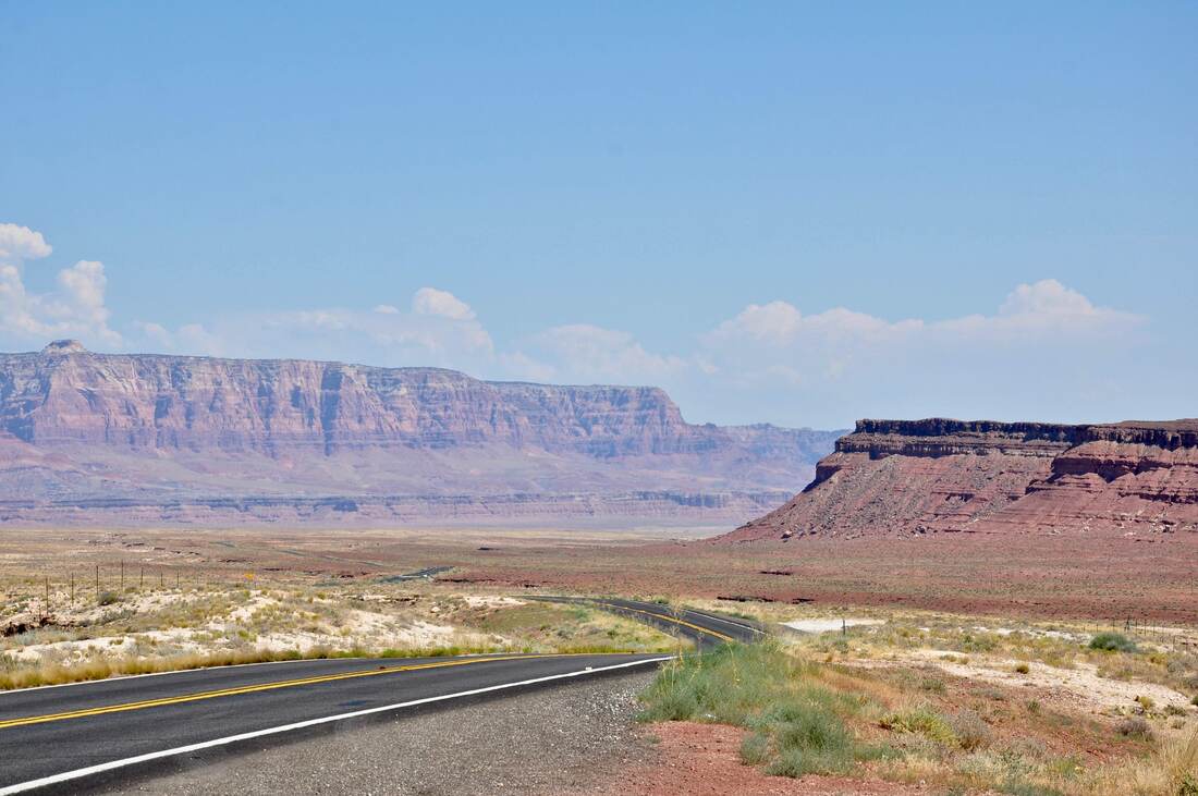
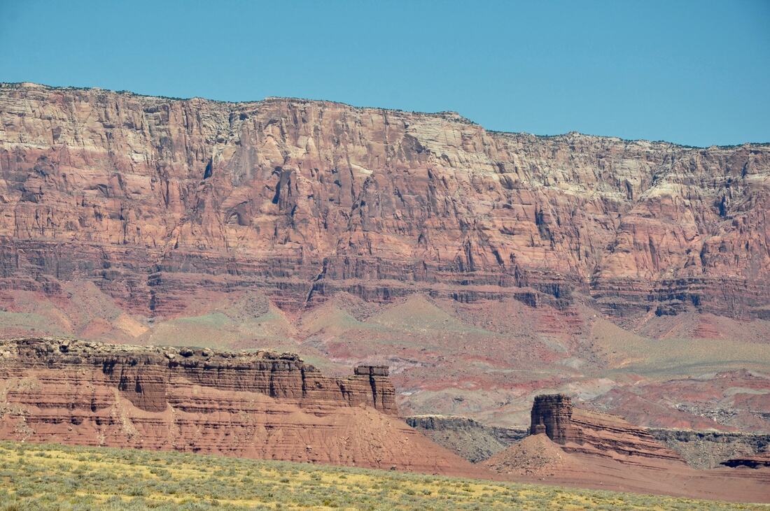
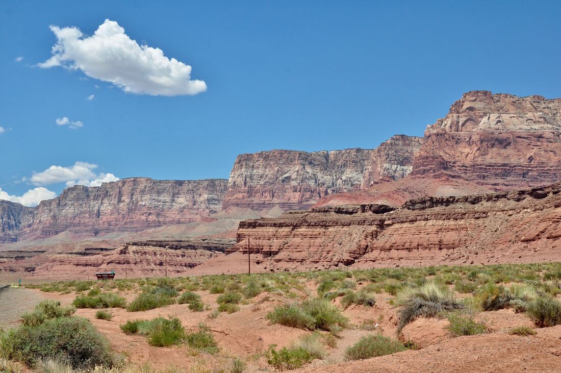
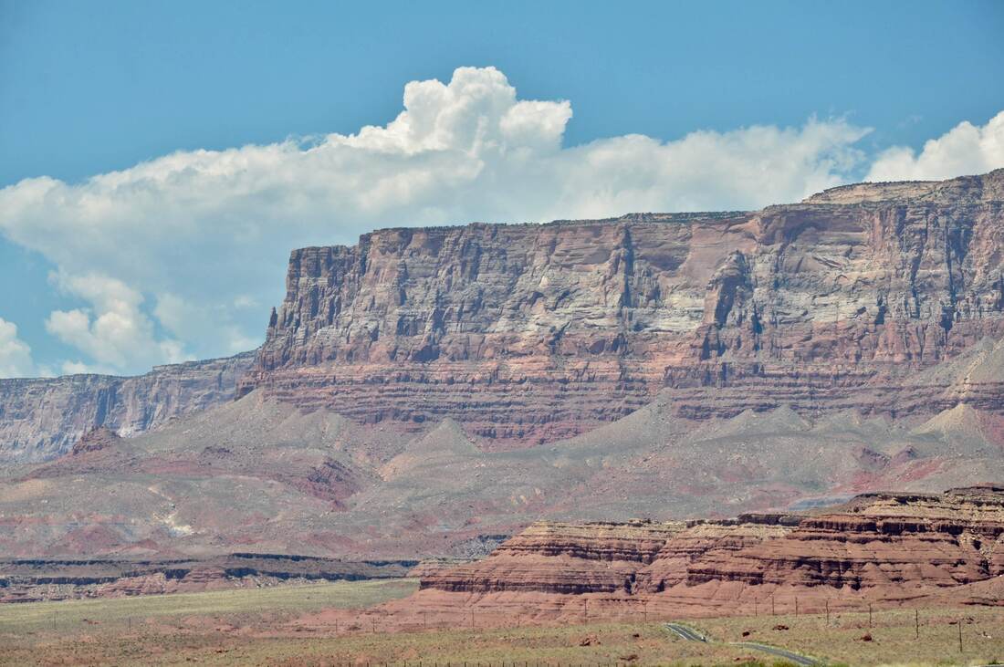
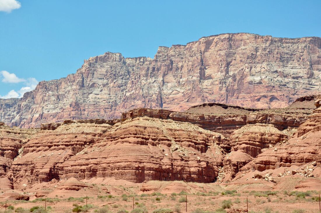
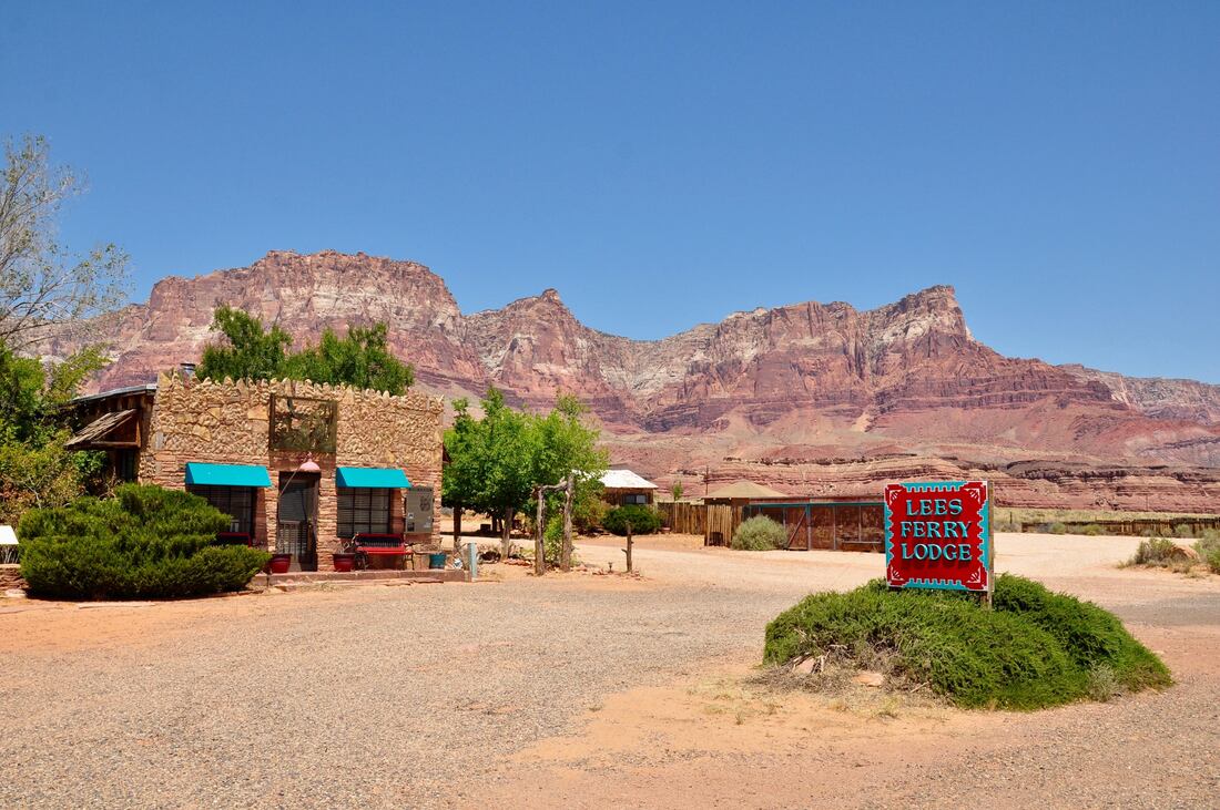
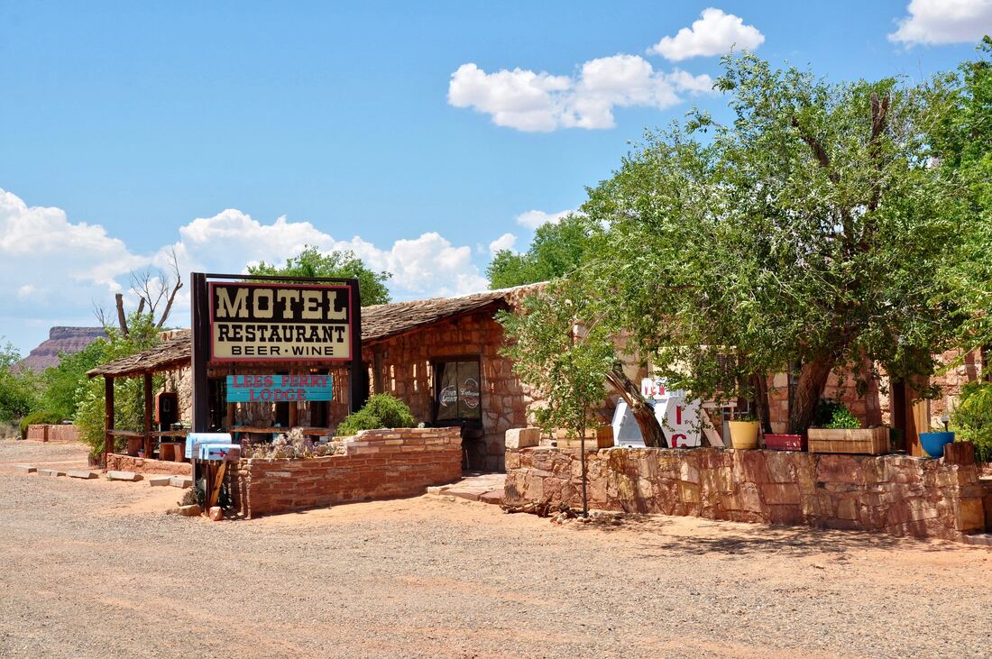
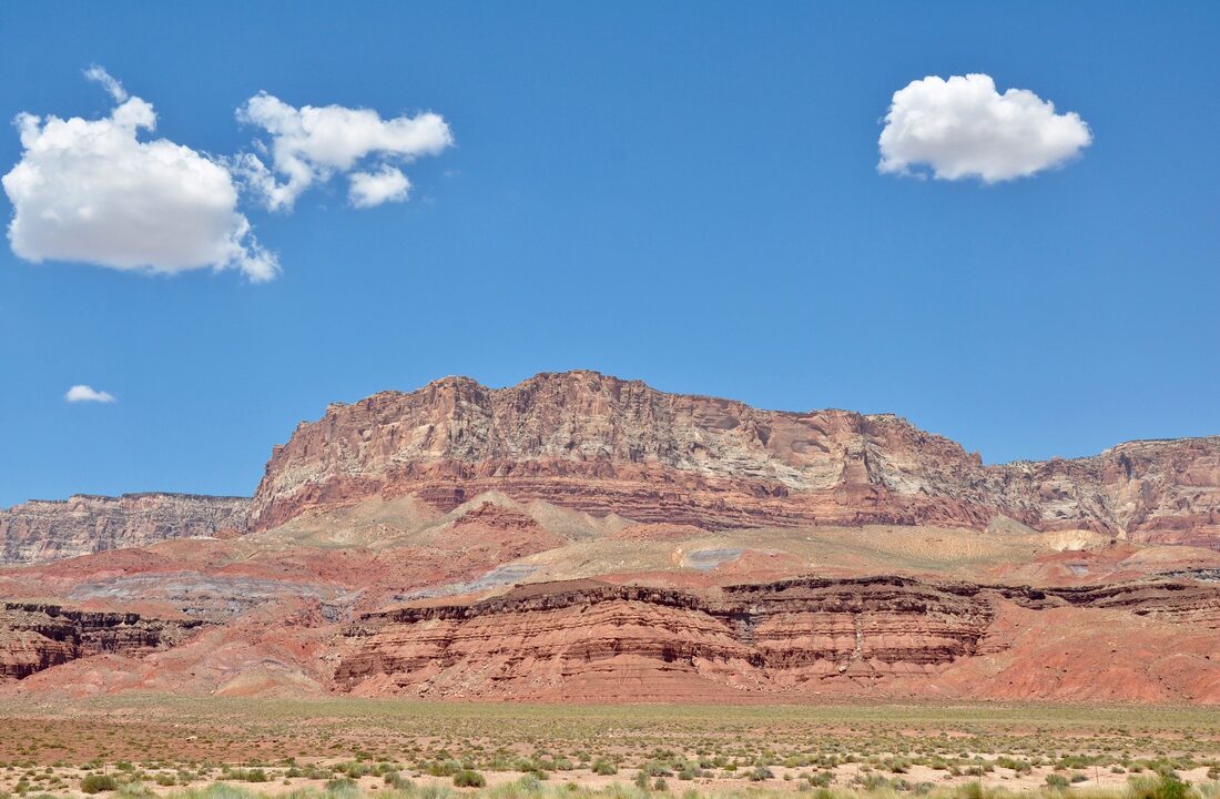
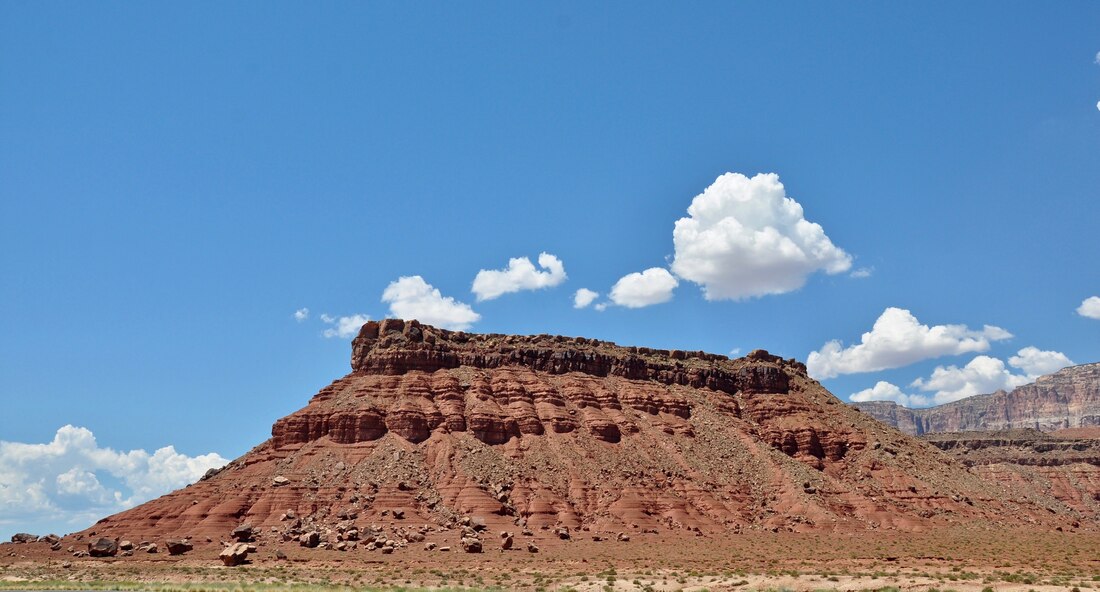
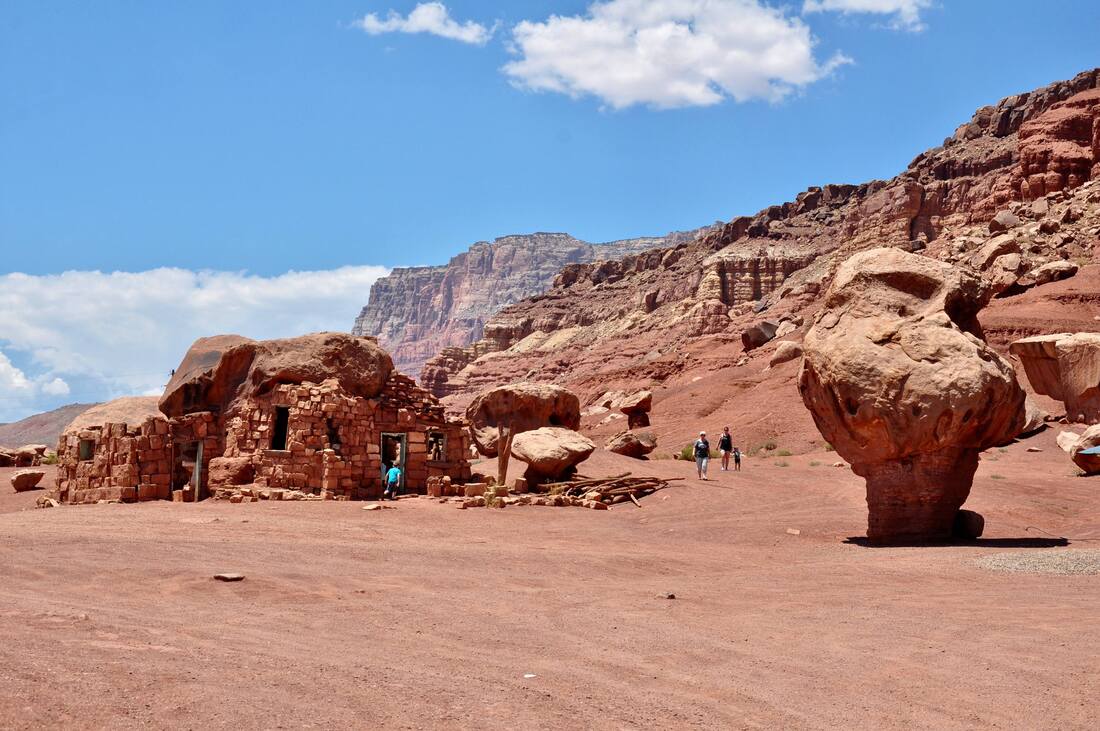
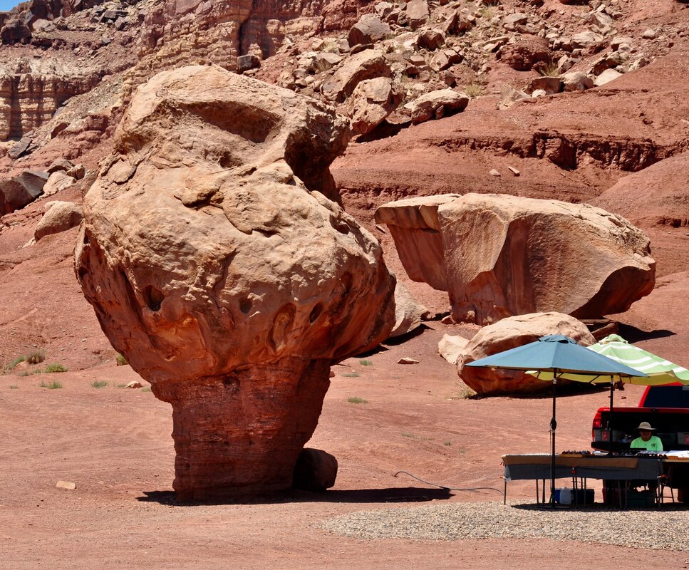
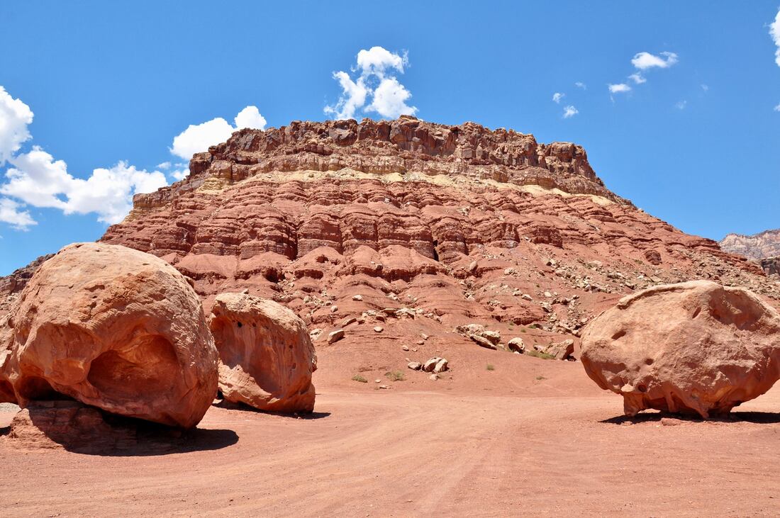
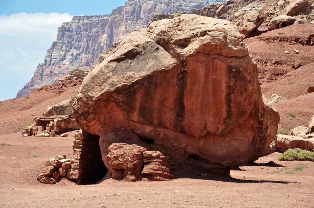
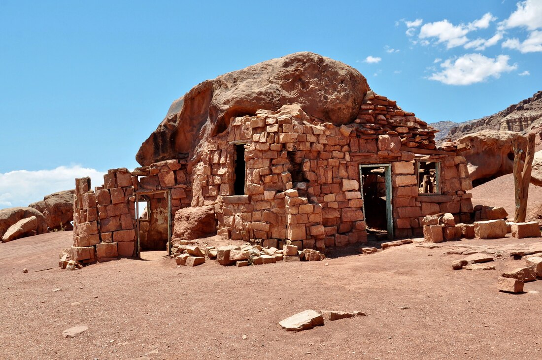
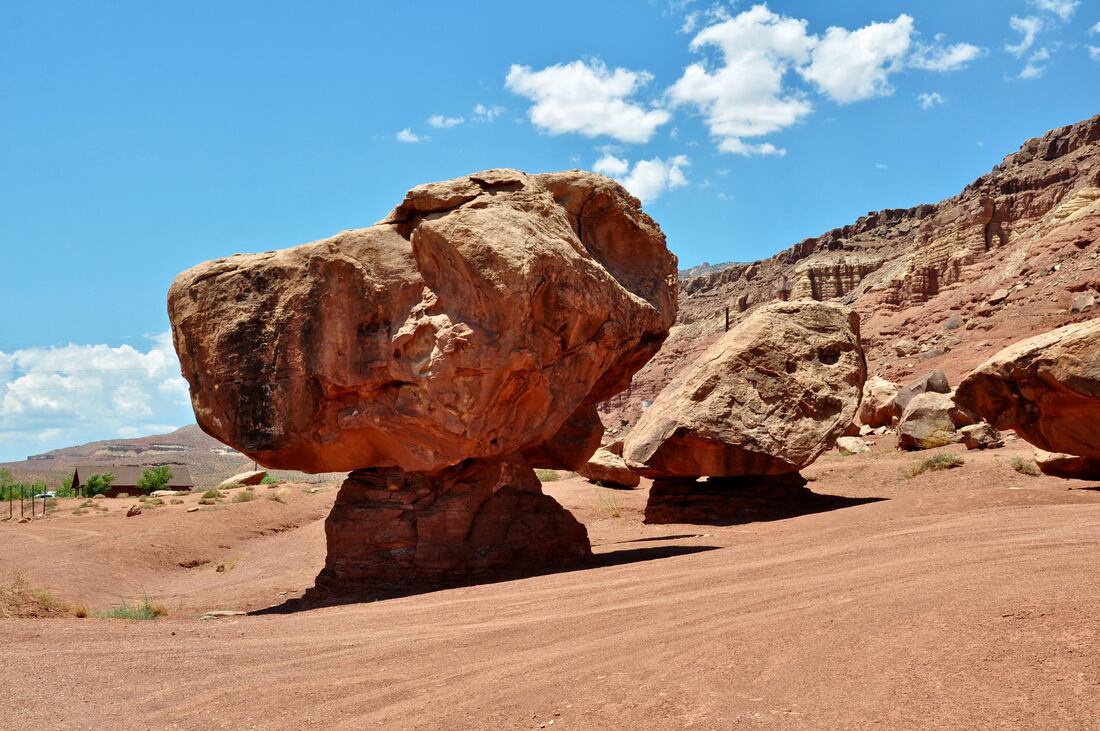
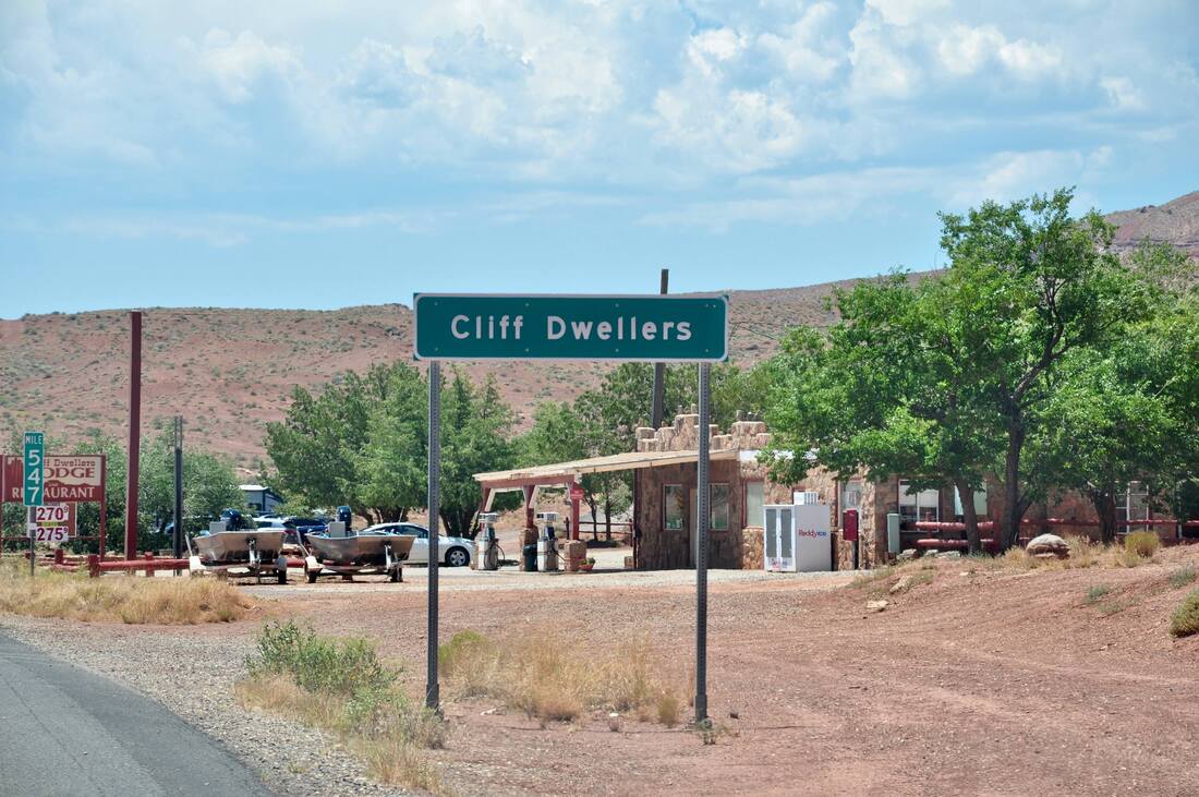
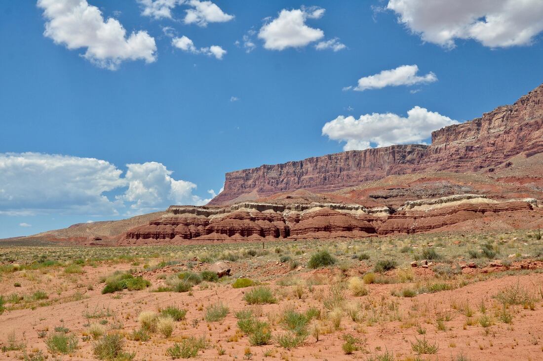
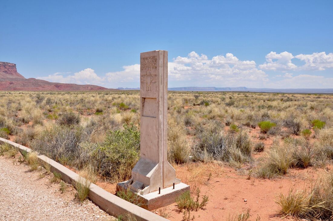
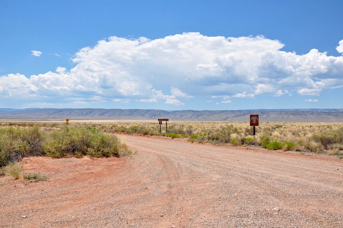
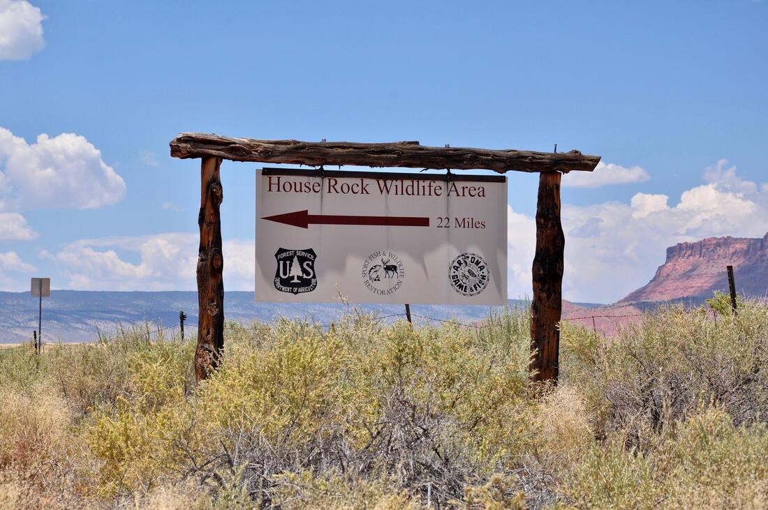
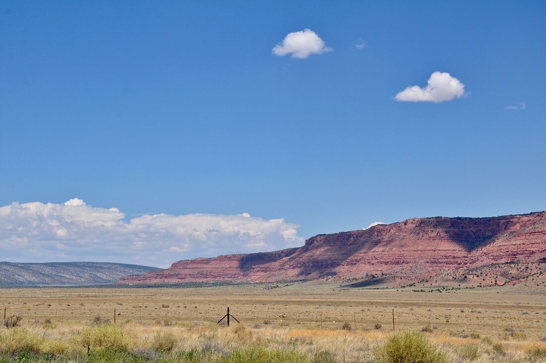
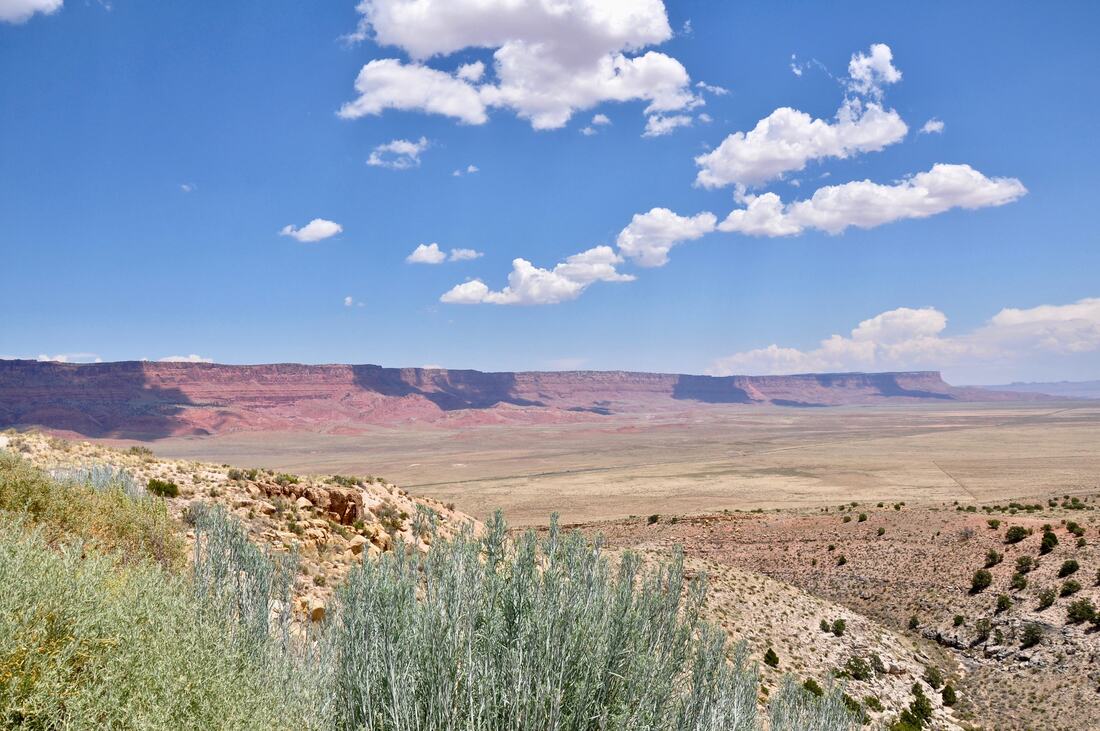
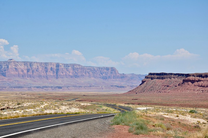
The Vermilion Cliffs National Monument is located between the North Rim Of The Grand Canyon National Park and the Glen Canyon National Recreation Area. The borders of this National Monument cover the entire Paria Plateau, which is like a big red rock island that rises high above the grassy plains. This vast wilderness area is extremely rugged and it can be perilous as well. Even though the Vermilion Cliffs National Monument has a dangerous reputation, the majestic beauty of this place lures many visitors in each year. The towering red cliffs that loom over the high desert plains certainly are a spectacular sight to see and taking a scenic drive through the southern end of this National Monument is a good introductory course! The Vermilion Cliffs National Monument borders upon Grand Staircase-Escalante National Monument, Glenn Canyon National Recreation Area, the Colorado River and the North Rim Of The Grand Canyon National Park. U.S. Highway 89 heads west from Page, Arizona and this road runs along the north side of the Vermilion Cliffs Monument. This highway has an alternate route called U.S. 89A, which runs along the southern border of the Vermilion Cliffs on the way to the North Rim Of The Grand Canyon and Fredonia, Arizona. Views from the scenic overlooks along U.S. Highway 89A are featured in this article's photo album. For those who have high ground clearance vehicles, there are several dirt roads that run deep into the Vermilion Cliffs National Monument. Some of the dirt roads in this monument have restricted access, so it pays to do some mapping research ahead of time. The main dirt road through this park connects 89A with Highway 89 near Fredonia and Kanab. If you choose to take on the dirt roads with a 4×4 vehicle, be sure to bring survival gear, because this desolate region is very unforgiving. Entering the Vermilion Cliffs on foot is also risky business and several people have perished here in the recent past. Part of the reason why is the hiking trails are unmarked, because the terrain is nearly all red sandstone bedrock. The harsh rugged terrain all looks the same after a short time, so finding one’s own bearings by memory is not easy to do. There is no cel phone service or smart phone data service in this entire region, so this is another reason why people get hopelessly lost in the Vermilion Cliffs. Oddly enough, GPS mapping systems are also not reliable in the Vermilion Cliffs for some phenomenal reason. An old fashioned compass and map with a legend of landmarks is just about the only reliable way to do a safari in this dangerous place. Of course, a guided native tour is a good option, because the locals definitely know their way around. There are a few rules to abide by when entering the Vermilion Cliffs on foot. Number one is to register at the Park Ranger’s office. If the officials know your hiking plan, they can provide pointers and advice. They will also know where to look if worse comes to worse. The second rule applies to the environmentally sensitive attractions, like Paria Canyon or The Wave. Only a few visitors are allowed to hike to The Wave each day and the lucky few are selected in a lottery system. In other words, they draw straws and the unlucky extra people have to wait for another day. As far as just taking a leisurely scenic drive goes, touring the southern side of the Vermilion Cliffs National Monument is as pleasurable as it gets! There are no worries about getting lost in the hostile terrain when doing this cruise and there are still plenty of majestic sights to see. Highway 89A runs along the entire length of the southern Vermilion Cliffs and there is plenty to experience along the way. The drive starts after crossing the Navajo Bridge at Marble Canyon, where the gigantic red color cliffs tower overhead. The views of Lee's Ferry and the Colorado River along this section of road are spectacular to see, so plan on taking some extra time to take in the views. A few old west style resorts and lodges can be found in this area and Lee’s Ferry is where all Grand Canyon Colorado river rafting ventures begin. All along the first section of 89A going west are roadside overlooks that offer spectacular views of the Vermilion Cliffs. As one approaches the old historic Cliff Dwellers Lodge, an odd sight can be seen at the base of the towering red cliffs next to Soap Creek. This section is where the weird looking mushroom rocks can be viewed. There is plenty of parking in this area and some folks actually set up camp right in the shade of the biggest mushroom rocks. The mushroom rocks actually are gigantic boulders that rolled down from the cliffs long ago and the ground underneath has since eroded away. The result of the massive boulders shielding the softer ground underneath from erosion eventually caused the boulder to be perched on an earthen pedestal. The mushroom rocks certainly are a sight to see and they do make for some good photo opportunities! There are a few roadside historic markers that must be checked out along the way when cruising on 89A. The Escalante Dominguez Expedition Marker will be familiar to those who have followed the Old Spanish Trail into the San Juan Mountains of Colorado. Going from here to Colorado on horseback with no GPS or smart phone would be like taking a scenic drive to an extreme, but this is how things were once done back in the days of the old wild west. Toward the western end of the scenic drive on 89A is where travelers will find both the Park Ranger Station. This is also where the dirt road that runs north along the western edge of the Vermilion Cliffs can be found. The Ranger Station is where all information and permits can be obtained. The North Rim Of The Grand Canyon National Park is only a few miles west of the Vermilion Cliffs Ranger Station. The towns of Fredonia and Kanab are also close by and these cozy old west style communities are a good choice for a basecamp. Page and the lodging near Lee’s Ferry are just about the only other choices for modern amenities in this region, but there are roadside campsites and RV parks just about everywhere in these parts for those who prefer to sleep under the stars. Doing a scenic drive on 89A through the southern end of the Vermilion Cliffs National Monument is a good way to become familiar with this challenging wilderness area. The Vermilion Cliffs National Monument is both a beautiful and dangerous place at the same time, yet this is what a real adventurist seeks. The unspoiled beauty of the Vermilion Cliffs is what memories are made of, so be sure to bring a good camera along for the ride!
0 Comments
Your comment will be posted after it is approved.
Leave a Reply. |
Leave no trace!
New!
Destination West YouTube channel! https://www.youtube.com/@DestinationWestOrg *The Destination West website upgrading project is well underway. Unique YouTube slideshows are replacing the outdated Flickr photo galleries. The new videos feature modern graphics and alternative music instrumentals that enhance the viewing experience. Some articles are being condensed, while others are getting much needed edits. As everybody knows, the bulk of the original articles and photos were published on the fly during the Covid camping venture and there were limitations. Upgrading is the way to go and more articles will receive a makeover each week until this project is completed. After that, I will be able to gather new material. There is light at the end of the tunnel!
JD Lane Archives
July 2024
Donations help the Destinaton West project continue into the future!
Go Fund Me! This website uses marketing and tracking technologies. Opting out of this will opt you out of all cookies, except for those needed to run the website. Note that some products may not work as well without tracking cookies. Opt Out of Cookies |
