|
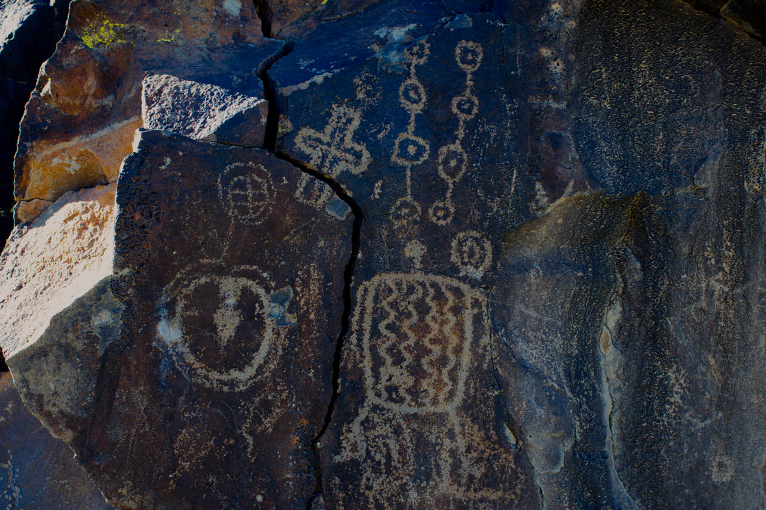
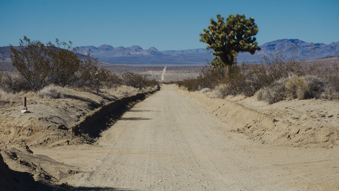
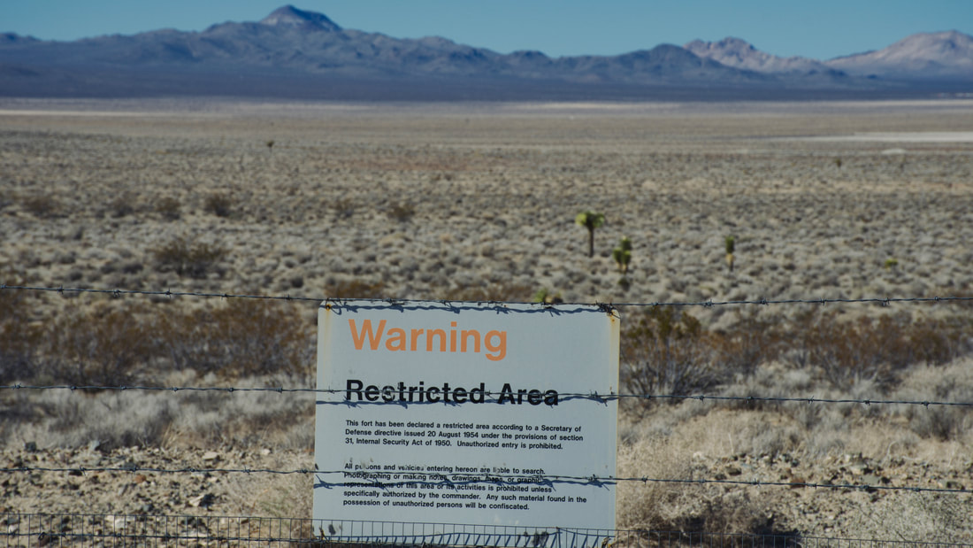
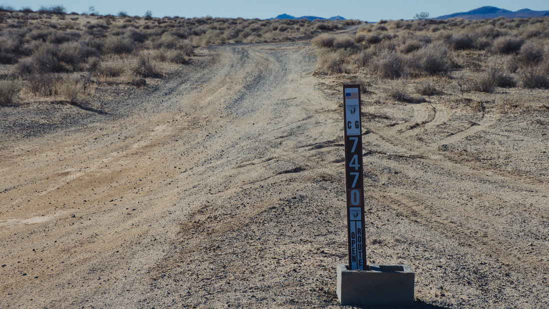
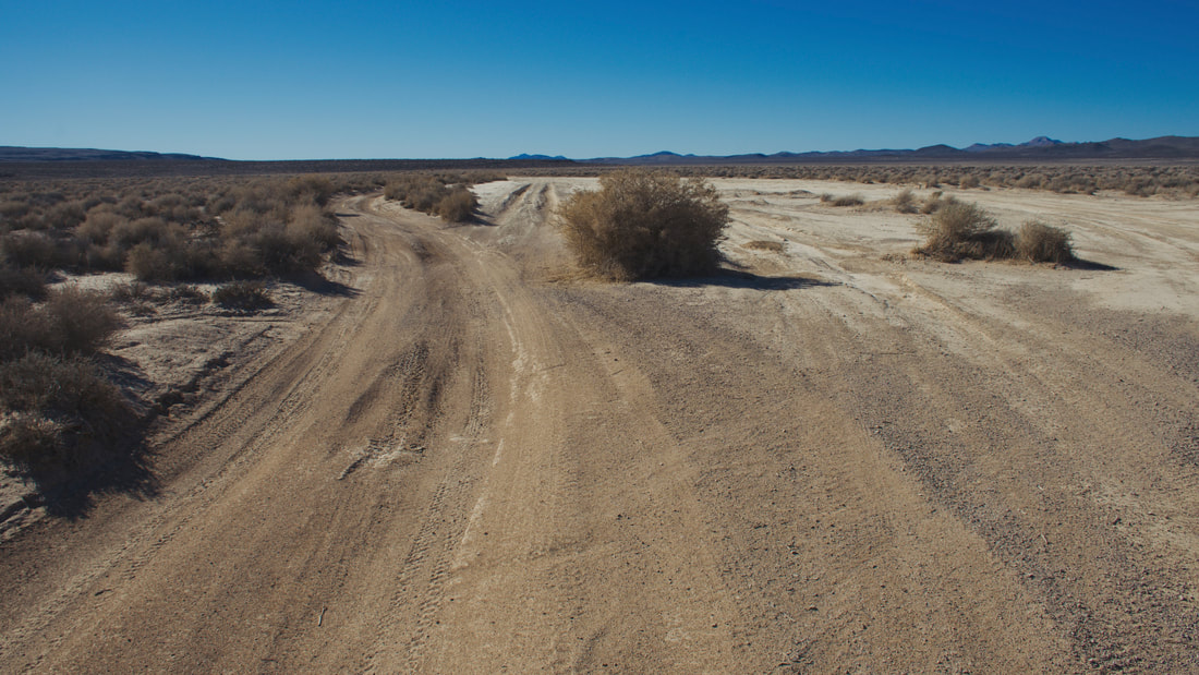
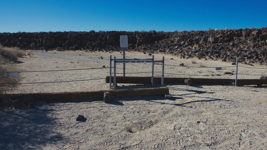
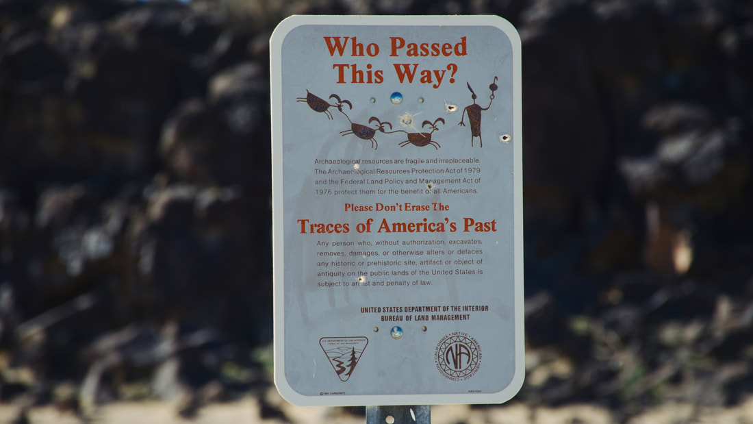
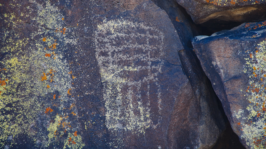
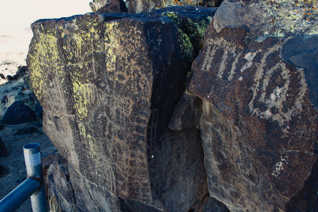
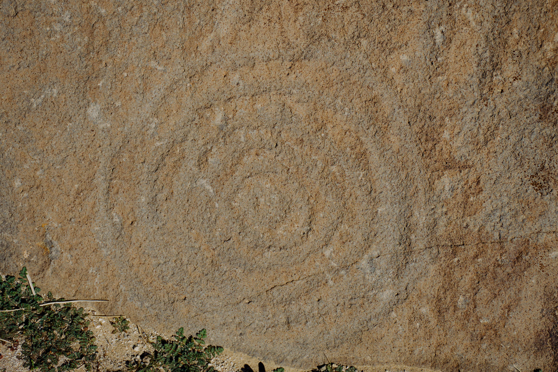
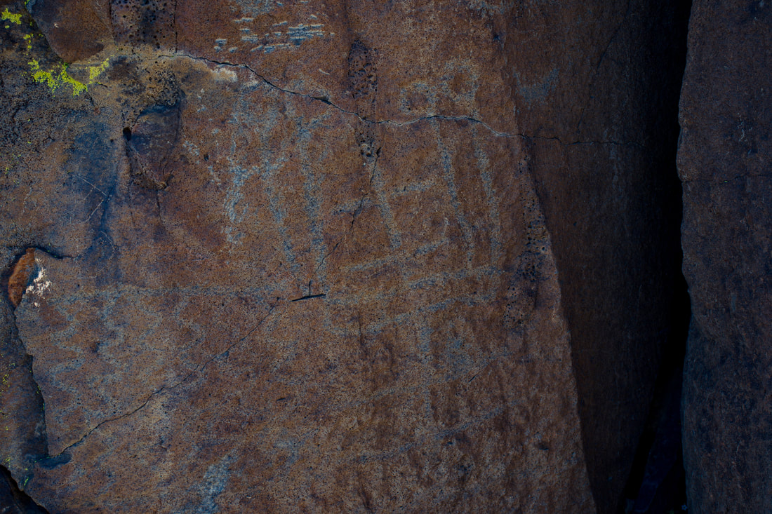
The Black Mountain Rock Art District is located in the Mojave Desert north of Barstow, California. When looking at a map, this destination may appear as a dot in a big blank space, but zooming in will reveal the dirt road travel routes. The desert dirt roads can be intimidating when trying to make plans, because there is always the unknown to contend with. After these desert trails are experienced, it becomes apparent that these remote travel routes are just like any other road. They are used by ranchers, miners and other utilitarians doing business in this region. The desert dirt roads are also traversed by tourists exploring remote destinations like Black Mountain and for first timers, common sense will be an asset to rely upon. Avoiding being stranded is the number one preventable goal when taking on the remote desert dirt roads. Ensuring vehicle reliability is number one. Pack a shovel, so you can dig the vehicle out of silt pits or sugar sand. If a high ground clearance vehicle or 4x4 is recommended, then it is best to heed the cue and not attempt the journey in a light duty passenger car. Packing extra water in case of emergency is always good to do. In case of breakdown, staying with the vehicle is recommended, but walking out may have to be done in some cases. If so, then leave a detailed note describing the escape route and stick to it, so rescuers stand a better chance of success. The reason why the disclaimers are mentioned first is because a lot of vehicles get stranded in the Black Mountain region. The sand does get deep along the dirt roads to Black Mountain, so be prepared to air down the tires and buildup a head of steam so you get through the sand hazards with ease. When mapping the Black Mountain trek, more travel route options will become apparent. The dirt roads around Black Mountain also go to Ridgecrest, Spangler Hills OHV and Trona. In fact, a visitor wishing to tour this region does not have to drive the paved highways at all. It can all be done via the backcountry desert dirt roads. For example, I took the traditional high ground clearance vehicle trail from Barstow to Black Mountain. Later after touring Inscription Canyon, I followed the desert dirt roads northwest toward Spangler Hills, then camped at Trona Pinnacles. This made for a lot of beautiful Mojave Desert scenery to take in that I had never seen before. For this reason, plotting a different route out of Black Mountain is better than just doing the out and back that the majority of visitors tend to do. You will have to rely upon mapping and dead reckoning skills, which will come with experience. Black Mountain has some of the highest concentrations of ancient rock art in the entire west. Several native cultures occupied this area and some of the oldest inscriptions are well over 8,000 years old. Those who have been to archeological sites in northern Nevada, like Grimes Point, will recognize similarities in the oldest inscriptions. Examples of different rock pecking methods can be seen, which differentiate cultures occupying this place over a very long timeline. The messages cast in stone represent local food resources, hunting conquests and celestial events, so there is plenty to peruse when reading the ancient newspaper rocks. I used to work with a bunch of Hopi and Navajo people in the Grand Canyon that nearly always referred to all ancient inscriptions as newspaper rocks. This is enlightening on many levels, because the down to earth newspaper perspective makes it easier to translate the actual messages being conveyed. There are a few foot trails in the Black Mountain Rock Art District and a GPS trail mapping system will come in handy. Several petroglyphs can be seen from the dirt road, so it pays to keep the eyes peeled. Inscription Canyon has a high concentration of ancient rock art in a small area, which is easy to explore on foot. For those who enjoy interpreting ancient messages, an entire day can easily be spent reading the newspaper rocks in this little canyon, which obviously was an important gathering place long ago. As mentioned earlier, some of the inscriptions date back over 8,000 years and many are thoroughly faded after being exposed to the elements for so long. The bright desert glare does not help matters, especially when trying to capture the images with a digital camera. Photographing the petroglyphs in RAW image file format and post processing the image files with high dynamic range photo software works best for revealing what the eyes can barely see. A hard light filter will help to bring out more details. This tidbit of information may be of help, especially if you wish to build a collection of newspaper rock images for an entertaining slideshow of your own!
0 Comments
Your comment will be posted after it is approved.
Leave a Reply. |
Leave no trace!
New!
Destination West YouTube channel! https://www.youtube.com/@DestinationWestOrg *The Destination West website upgrading project is well underway. Unique YouTube slideshows are replacing the outdated Flickr photo galleries. The new videos feature modern graphics and alternative music instrumentals that enhance the viewing experience. Some articles are being condensed, while others are getting much needed edits. As everybody knows, the bulk of the original articles and photos were published on the fly during the Covid camping venture and there were limitations. Upgrading is the way to go and more articles will receive a makeover each week until this project is completed. After that, I will be able to gather new material. There is light at the end of the tunnel!
JD Lane Archives
July 2024
Donations help the Destinaton West project continue into the future!
Go Fund Me! This website uses marketing and tracking technologies. Opting out of this will opt you out of all cookies, except for those needed to run the website. Note that some products may not work as well without tracking cookies. Opt Out of Cookies |
