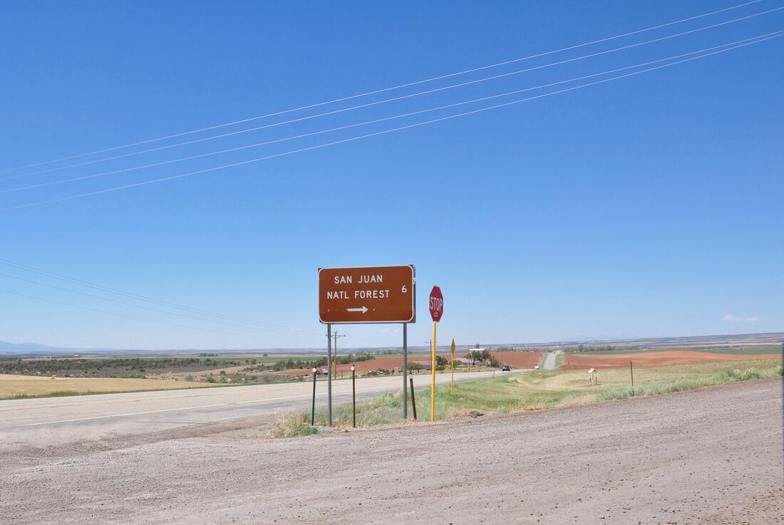
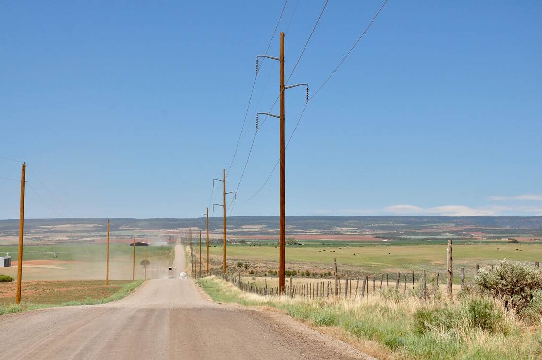
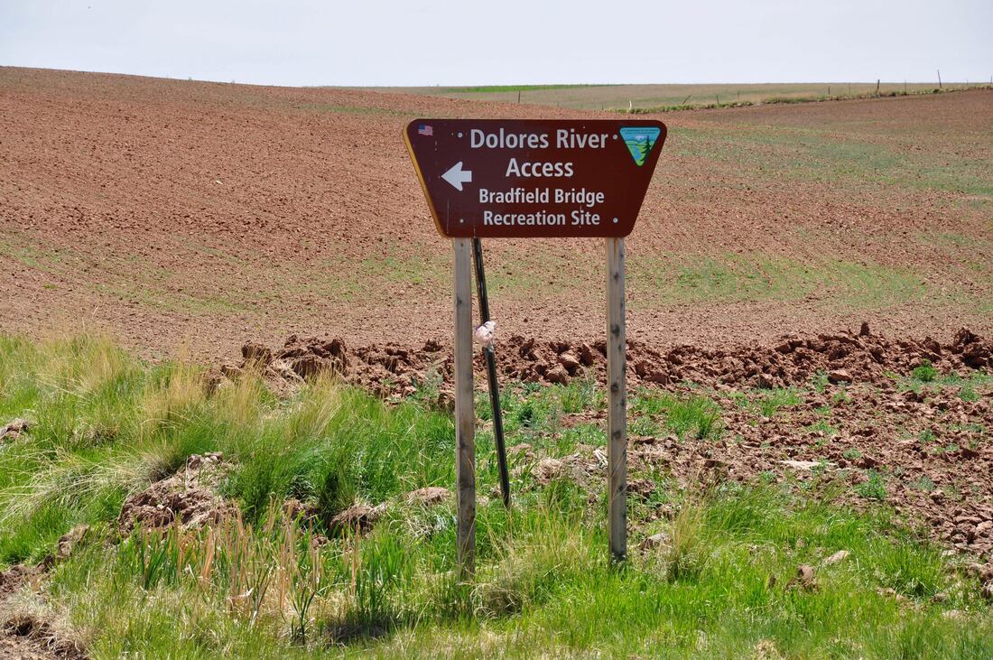
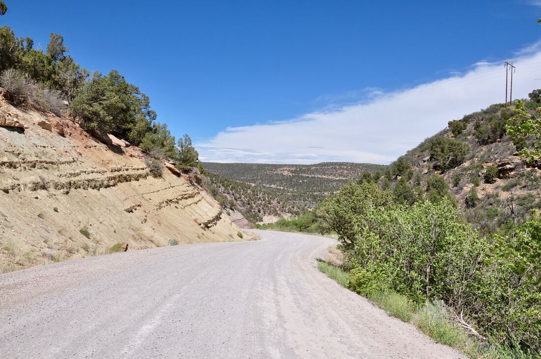
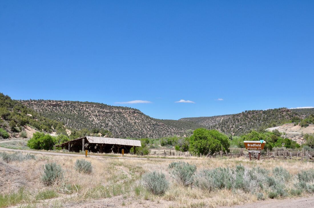
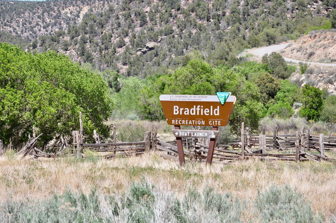
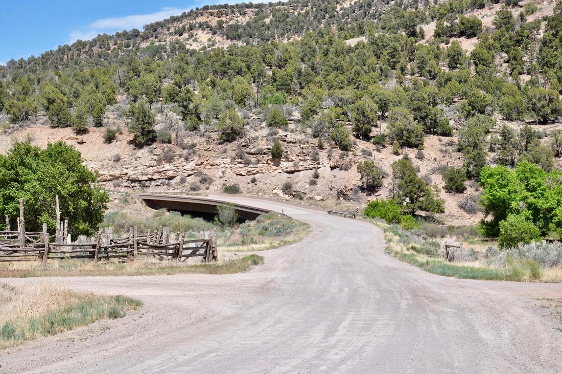
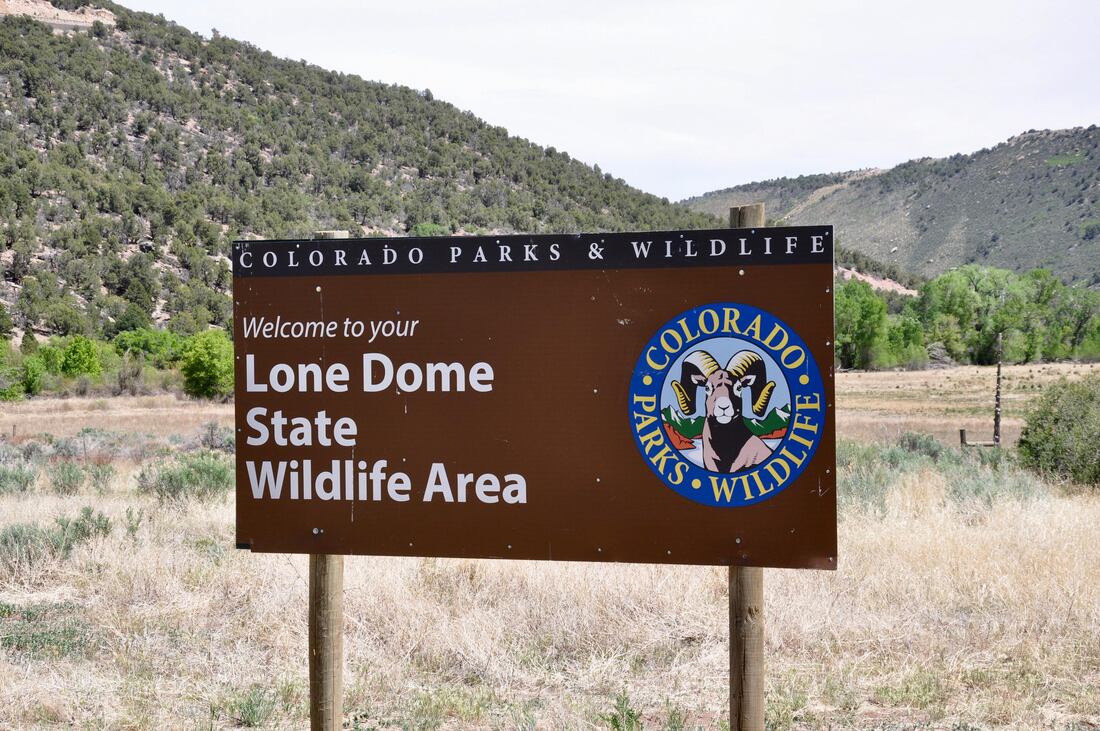
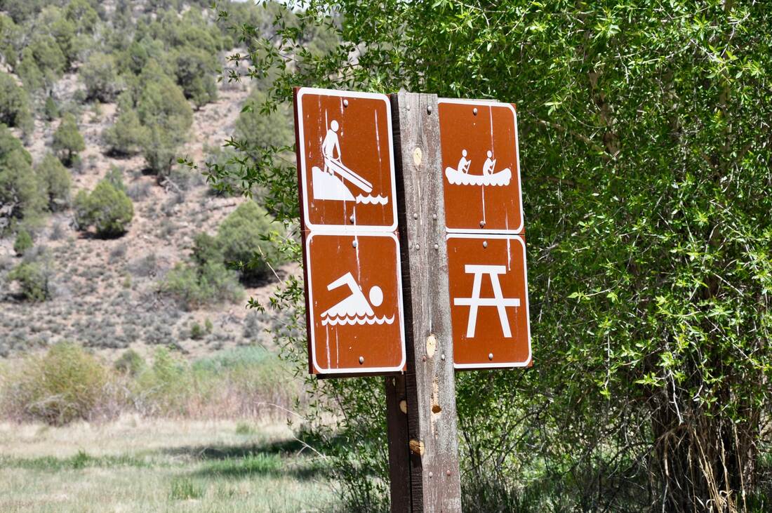
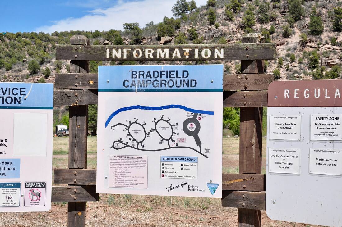
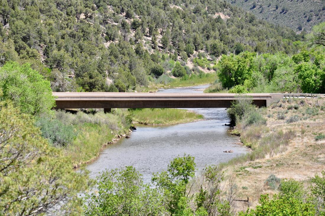
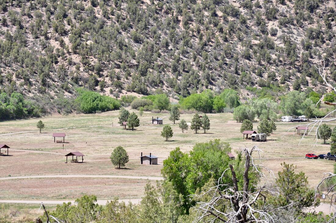
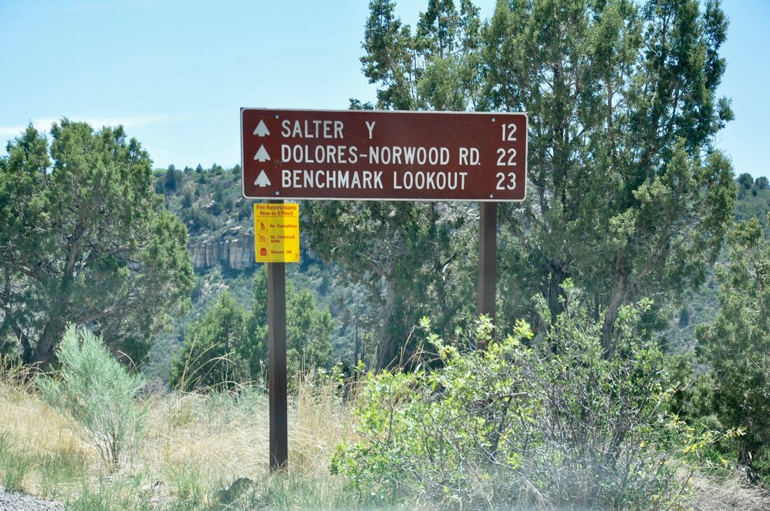
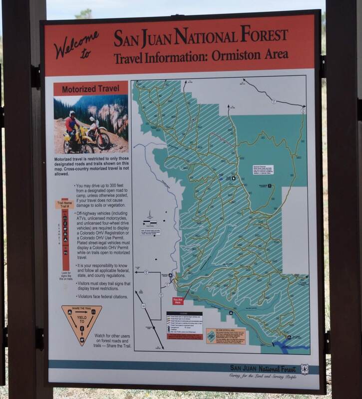
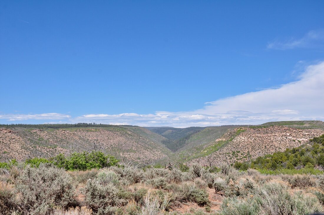
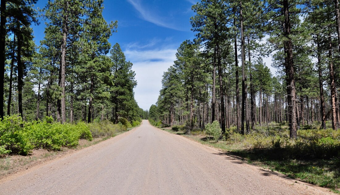
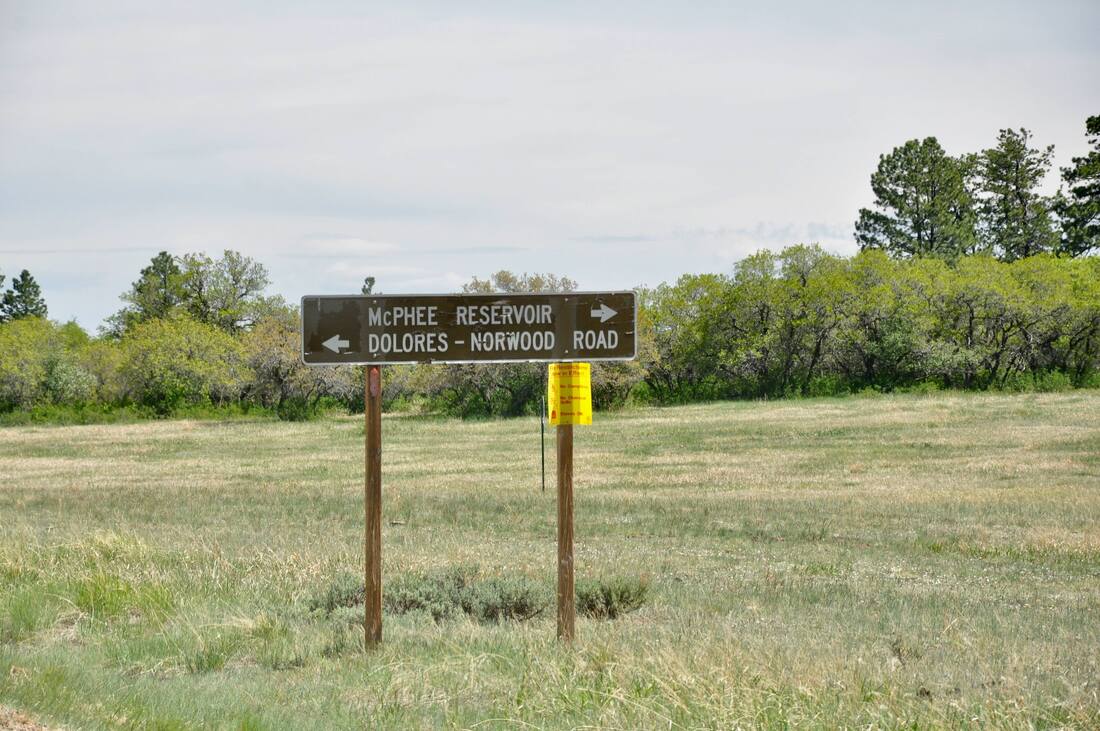
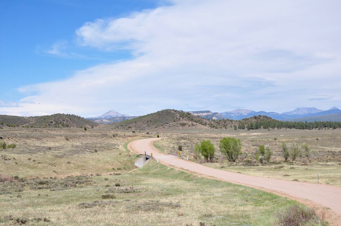
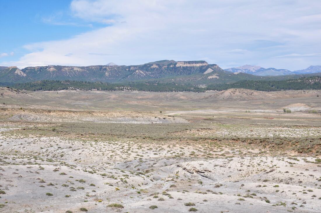
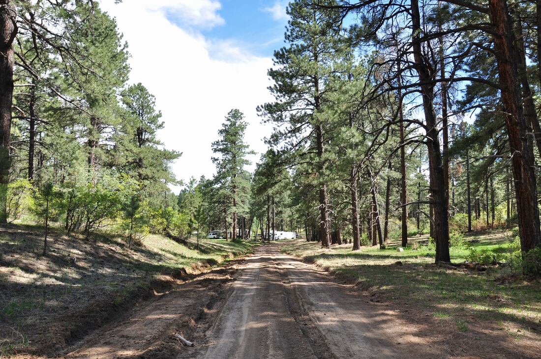
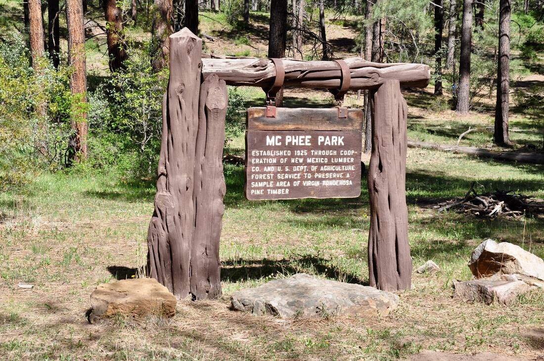
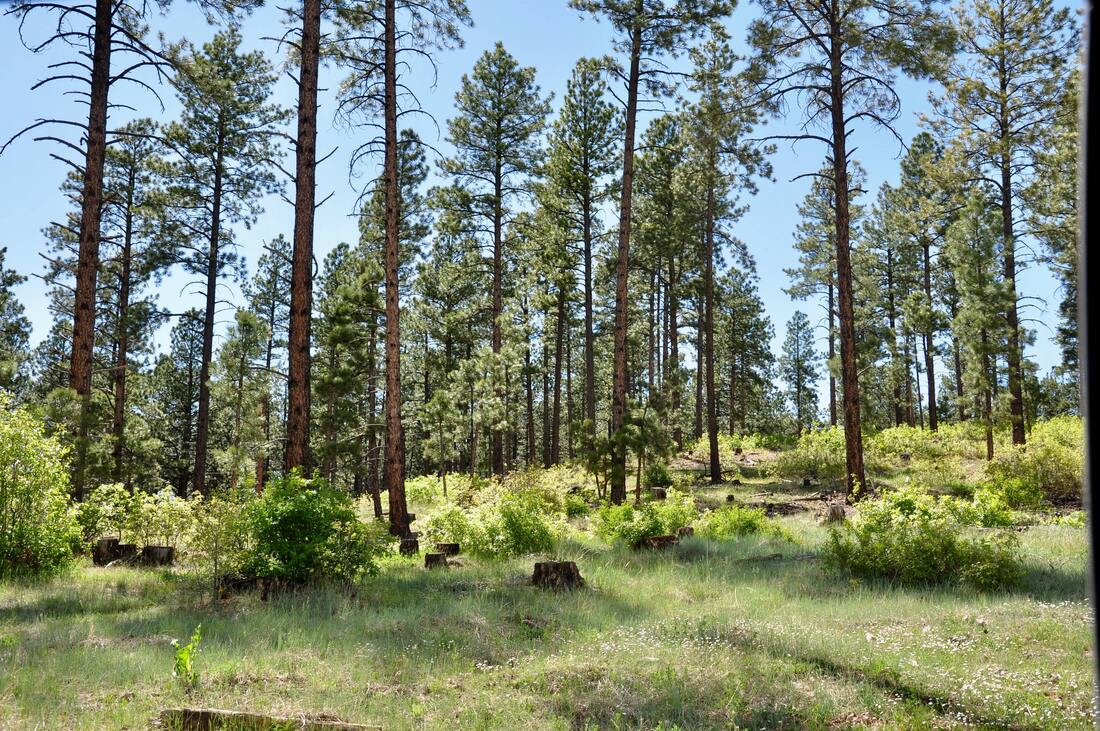
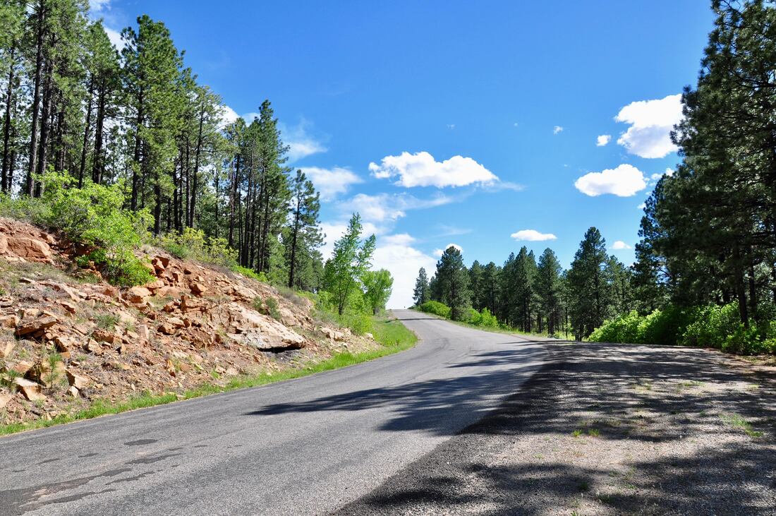
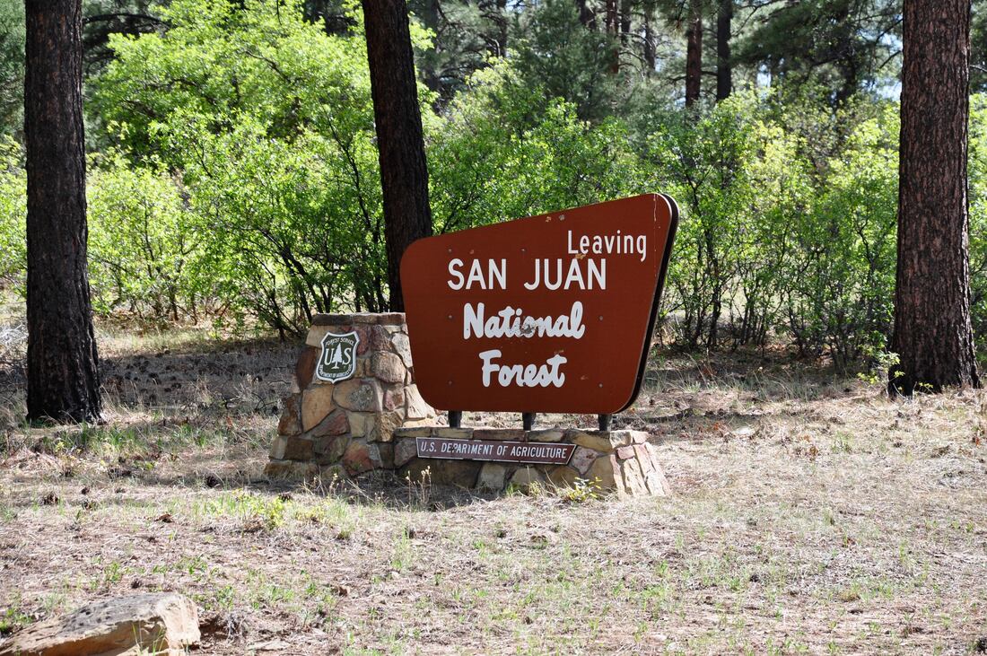
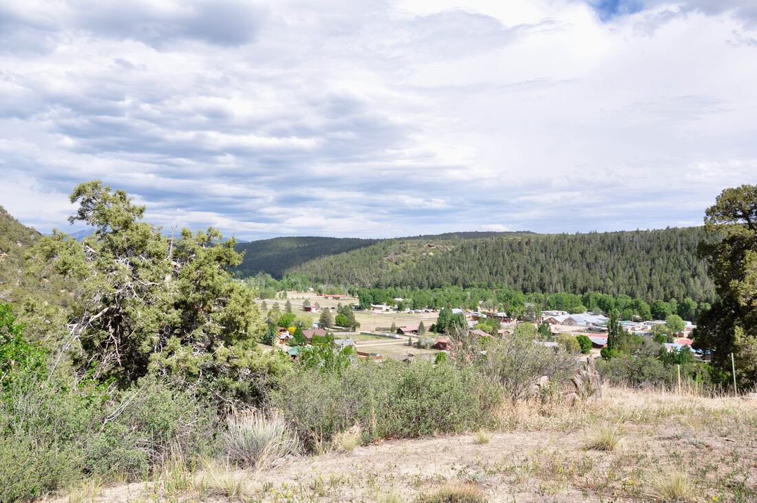
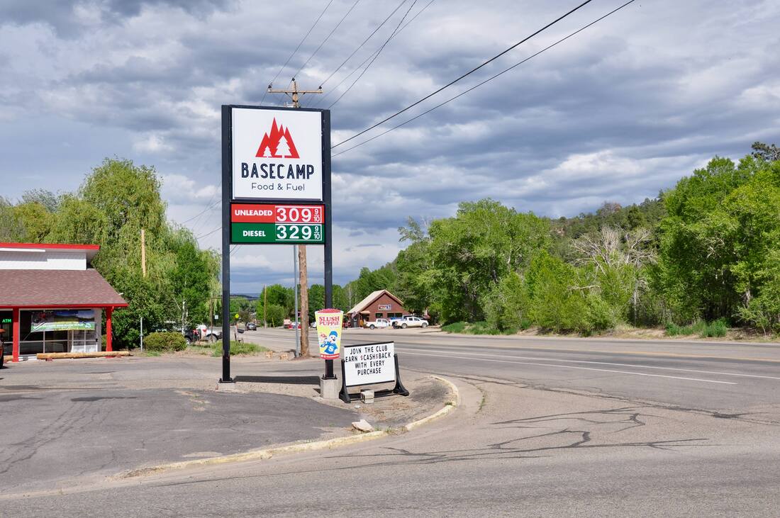
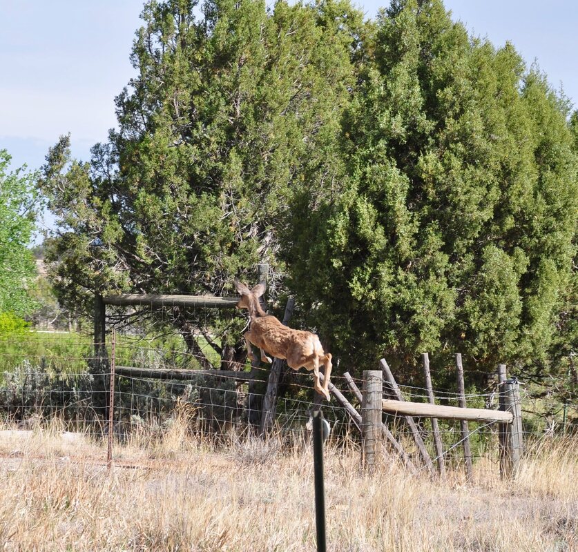

In the San Juan Mountains of southwest Colorado, the low elevation dirt roads usually thaw out much earlier than the high elevation Jeep trails after winter tails off. The high elevation Alpine Loop Jeep Trails are the star of the show in this region, but depending on the conditions, the opening date can vary greatly. After a heavy winter, the Alpine Loop Trails may not be safe to tour till mid July. On the flip-side, no matter how heavy the winter snow pack may have been, the dirt trails in the lower elevations will likely be ready for action. The exception will always be rainy days when deep mud can be expected. Some folks are up to the challenge of driving a 4x4 in very rough dangerous conditions, but most folks would rather not face the ensuing high price repairs and a towing charge that will be heftier than a second mortgage at the end of the day. The low elevation trails tend to be less demanding than the dangerous Alpine Trails, so those who wish for an easy going off-highway excursion will find their comfort zone in the mile high elevations. There are many good low elevation Jeep Trails in the San Juan Mountains that offer an opportunity to experience destinations that are often overlooked by the mainstream 4x4 crowd. The reason why is because the majority of 4x4 enthusiasts only focus on destination along the Alpine Loop Trails when visiting the San Juan Mountains. With the masses heading way uphill, this leaves plenty of elbow room in the lower elevations. There is a dirt road that goes from Dove Creek, Colorado all the way to Dolores in the San Juan Mountains. This long off highway travel route first goes over a few miles of fairly smooth county dirt roads that see plenty of farm truck and gas fracking traffic. The dirt road is smooth all the way to the Bradfield Bridge, so a higher than average ground clearance passenger car can do this section of the trip. The rest of the dirt road touring route to McPhee Park and Dolores is a bit rougher. A dedicated high ground clearance 2x4 or 4x4 ATV, truck or Jeep is best suited for the second half of the trip. The total distance from Dove Creek to Dolores on this overland route is 46 miles, so be sure to top of the tank before getting the show on the road! The Jeep trail travel route actually starts on Highway 491 about 9 miles east of Dove Creek and the Lone Dome signage is easy to spot. The road to look for is County Road 8 heading north. From the intersection, it is about 5.4 miles of smooth dirt road driving to Bradfield Bridge, where two recreation areas can be found. At Bradfield Bridge, the Lone Dome Recreation Area and the Lone Dome State Wildlife Area are located on the east side of the road. The west side of the road is where the BLM Bradfield Recreation Area and a fair size campground can be found. The Bradfield Recreation Area offers BLM camping, trout fishing, picnic areas and there is a launch ramp for rafts on the Dolores River. The Lone Dome Recreation Area offers the same venue, minus the camping option, because the Lone Dome side of the road is managed as a State Wildlife Area. There is a dirt road that follows the Dolores River from the bridge to the heart of the Lone Dome Recreation Area where cultural exhibits can be found, which is a nice side trip. There is one major difference between which side of the Bradfield Bridge you stand on, if you plan to do some fishing. On the Bradfield side of the bridge, you can catch and eat the fish, while on the Lone Dome Wildlife Area side of the bridge, the rules are strictly catch and release! For this reason, it is best to fish the Dolores River on the Bradfield side of the line if you happen to crave some trout for dinner! After crossing the Bradfield Bridge, it is a steep uphill climb on County Road 8 to a high plateau where the mountain meadow cattle ranches await in the San Juan National Forest. Cattle are lazing everywhere along this National Forest road, so it pays to take it slow. The road composition through the National Forest section is a mix of gravel and clay dirt, so expect muddy conditions on a rainy day. There are plenty of picturesque green rolling hill to be seen in this part of the San Juan National Forest when heading to the intersection of State Road 526. State Road 526 is the long dirt road that goes east around the McPhee Reservoir Lake to the final destination in Dolores. All along SR 526 are side road options to McPhee Park and the reservoir lake. There are plenty of widely spaced deep pine forest campsites in McPhee Park, so even on a busy day the camping areas never seem crowded. McPhee Park definitely is in the deep woods and the campground roads can have deep ruts after a heavy rain. The good thing about this camping area is that the McPhee Reservoir Lake is within walking distance, so cool relief can easily be found on a hot summer day! Upon exiting McPhee Park, hopping back on the smooth SR 526 dirt road to Dolores will finish the trip. Dolores is the gateway to the the western end of the San Juan Mountains, the Canyons Of The Ancients National Monument and whitewater rafting adventures on the Dolores River, which runs through town. There is a saloon that overlooks the river in this town, which is a nice place to kick it back after getting off the long dusty trail. The long 46 mile Jeep trail ride from Dove Creek to Dolores and all points in between may not be quite as exciting as a cliffhanger trail way up in the mountains, but this is not what every off highway driver seeks. This is a peaceful easy going drive that goes through several different panoramic landscapes. There are opportunities for fishing, camping and hiking adventures, so plenty of leisure time can be spent on this trail. For those seek an easy going off-highway excursion that offers plenty of elbow room, the Jeep trail from Dove Creek to Dolores is worth logging on the books!
0 Comments
Your comment will be posted after it is approved.
Leave a Reply. |
Leave no trace!
New!
Destination West YouTube channel! https://www.youtube.com/@DestinationWestOrg *The Destination West website upgrading project is well underway. Unique YouTube slideshows are replacing the outdated Flickr photo galleries. The new videos feature modern graphics and alternative music instrumentals that enhance the viewing experience. Some articles are being condensed, while others are getting much needed edits. As everybody knows, the bulk of the original articles and photos were published on the fly during the Covid camping venture and there were limitations. Upgrading is the way to go and more articles will receive a makeover each week until this project is completed. After that, I will be able to gather new material. There is light at the end of the tunnel!
JD Lane Archives
July 2024
|
