|
00:00 Title
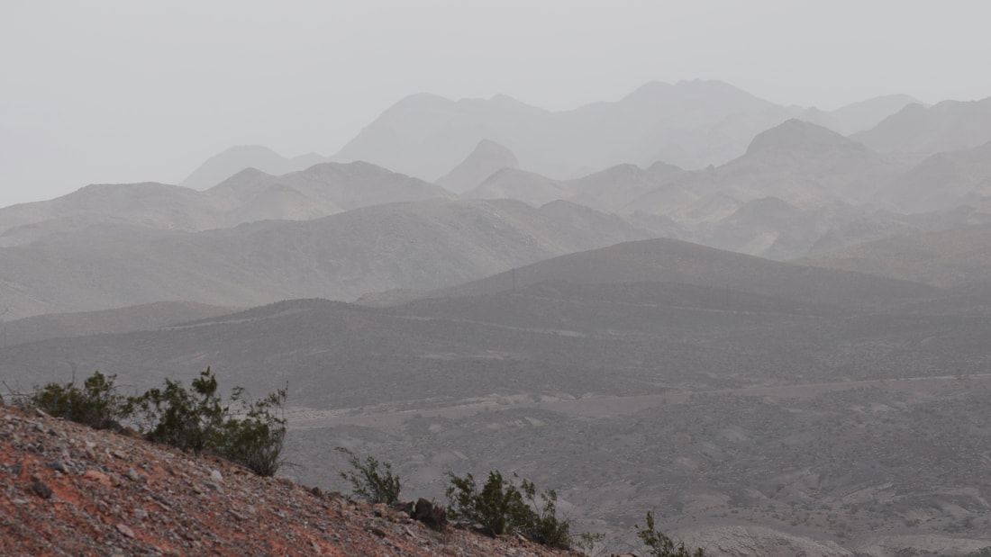
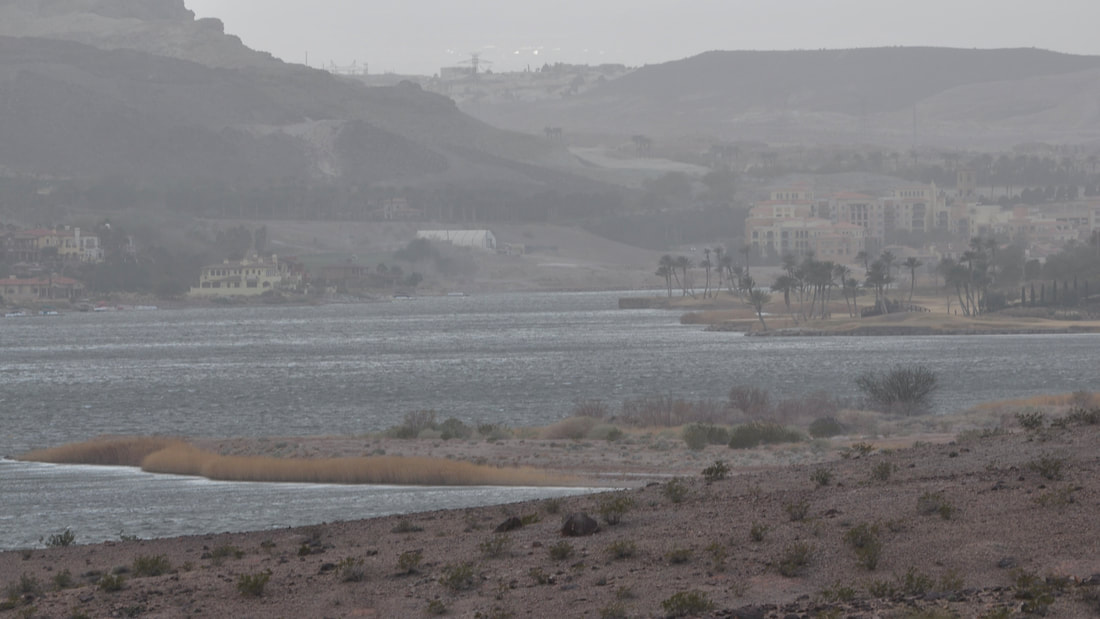
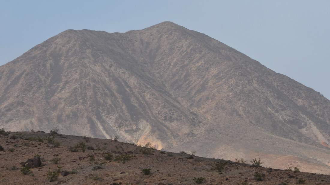
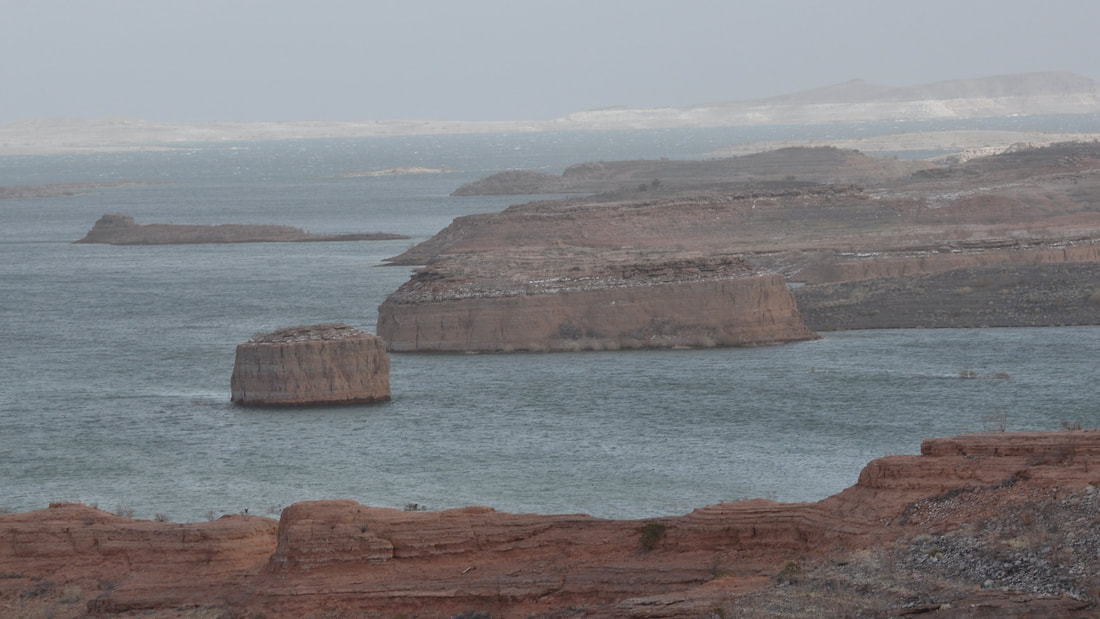
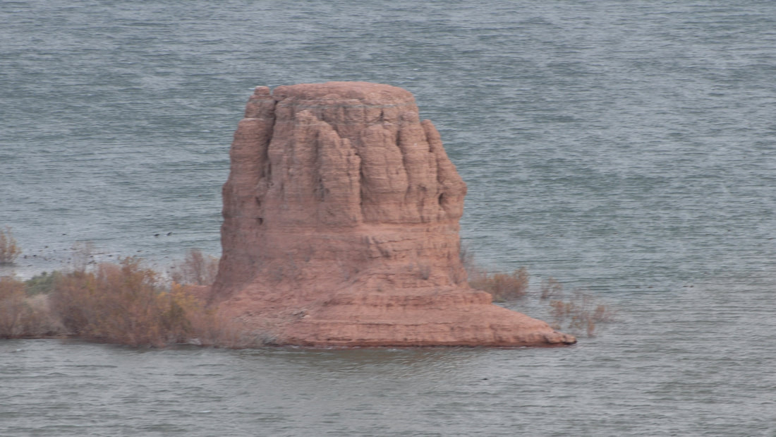
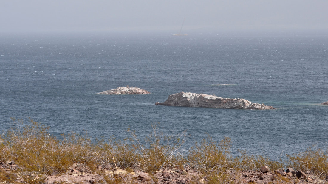
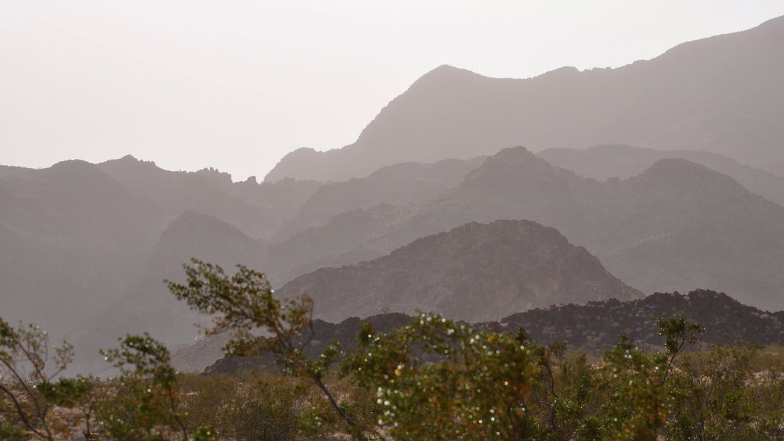
00:14 Lakeshore Road Dust Storm 06:23 Gypsum Point 08:27 Crawdad Cove 12:36 Boxcar Cove 23:41 Callville Bay 27:43 Fin Spring is a wet weather season nearly everywhere around the globe, but in the desert southwest this may not always be the case. During periods of severe drought, one would be lucky to see a few raindrops during the entire spring season. When combined with the blustery winds of March, there will be the makings for a blinding dust storm, which can quickly ruin a fun afternoon picnic at Lake Mead. Spring season dust storms in southern Nevada can limit visibility to nearly zero when sightseeing in a wilderness area, so it really does pay to look at the regional weather forecast this time of year. If winds between 25 and 60 miles per hour are in the forecast, then a dust storm will likely occur, especially if the terrain is a barren desert expanse with lots of dry lake silt deposits. The photos for this article were shot in the southern end of Lake Mead when the forecasted high winds arrived a few hours early. Plenty can be said about western weather forecasts, but accuracy is the one thing that receives little applause. After arriving at Lake Mead, the faster than forecasted dust storm roared through and I figured that I might as well just make the best of the moment. Picturing how the conditions can be at this destination during a dust storm may be of help for tourists that only see sunny clear sky pictures of Lake Mead in the travel brochures. In the Lake Mead Recreation Area, a spring season dust storm will result in a thick lingering haze that covers the entire river basin. This is because the lake water is cold enough to condense air in the spring season. On some days the dust storm haze can linger till well after the storm has passed, but most often the gentle breeze that follows a desert storm will clear the air. The photos of the Lake Mead dust storm tour start from the Sunrise Mountain Pass to the south gate of the Lake Mead National Recreation Area near Boulder City, Nevada. Lakeshore Road goes past the Lake Las Vegas community and onward to several scenic overlooks and lake access points. As can be seen in the photos, Lake Las Vegas and the surrounding mountains could barely be seen while the dust storm was at its worst. There are some opportunities to capture dramatic looking photos during a dust storm in the south end of Lake Mead, because this area is where the shoreline looks the most surreal. The ancient river bluffs and eroded mesa peaks that were flooded after Hoover Dam was constructed are now cliff diving spots and little deserted islands. The view of the surreal shoreline in this area is beautiful on a clear sunny day, but during a dust storm this area has an ominous look. When the mountains on the other side of the lake are not visible, this section of Lake Mead looks like an ocean shoreline from a fantasy film. If high winds and dust storms are forecasted, then it is best to just hunker down where it is safe instead of traveling. If you happen to get caught in a fast moving storm with little forewarning, it is best pull off the road, shut off the motor and hunker down in the car. Running the motor can cause severe engine damage, so the only option is to roll the windows up and wait it out. For hikers, packing a bandana, dust mask and goggles for a windy season excursion in the desert is advisable. Dust goggles definitely will prevent plenty of eye irritation. By the time that I was done with the dusty scenic drive on Lakeshore Road around the south end of Lake Mead, the dust storm grew much bigger than forecasted and road closures were being set in place elsewhere in the region. The roads going south to Laughlin and Searchlight were closed due to zero visibility. As experienced travelers already know, a dust storm related highway closure in this desolate region can result in taking an extremely long detour. This article is not a good representation of the fun that can be had at the Lake Mead National Recreation Area on a clear sunny day, however, desert dust storms are part of reality. The photos provide clues as to what can be expected when high winds are forecasted. All that can be said is the best thing to do is avoid the area during a dust storm, unless you are into surreal photography!
0 Comments
Your comment will be posted after it is approved.
Leave a Reply. |
Leave no trace!
New!
Destination West YouTube channel! https://www.youtube.com/@DestinationWestOrg *The Destination West website upgrading project is well underway. Unique YouTube slideshows are replacing the outdated Flickr photo galleries. The new videos feature modern graphics and alternative music instrumentals that enhance the viewing experience. Some articles are being condensed, while others are getting much needed edits. As everybody knows, the bulk of the original articles and photos were published on the fly during the Covid camping venture and there were limitations. Upgrading is the way to go and more articles will receive a makeover each week until this project is completed. After that, I will be able to gather new material. There is light at the end of the tunnel!
JD Lane Archives
July 2024
Donations help the Destinaton West project continue into the future!
Go Fund Me! This website uses marketing and tracking technologies. Opting out of this will opt you out of all cookies, except for those needed to run the website. Note that some products may not work as well without tracking cookies. Opt Out of Cookies |
