|
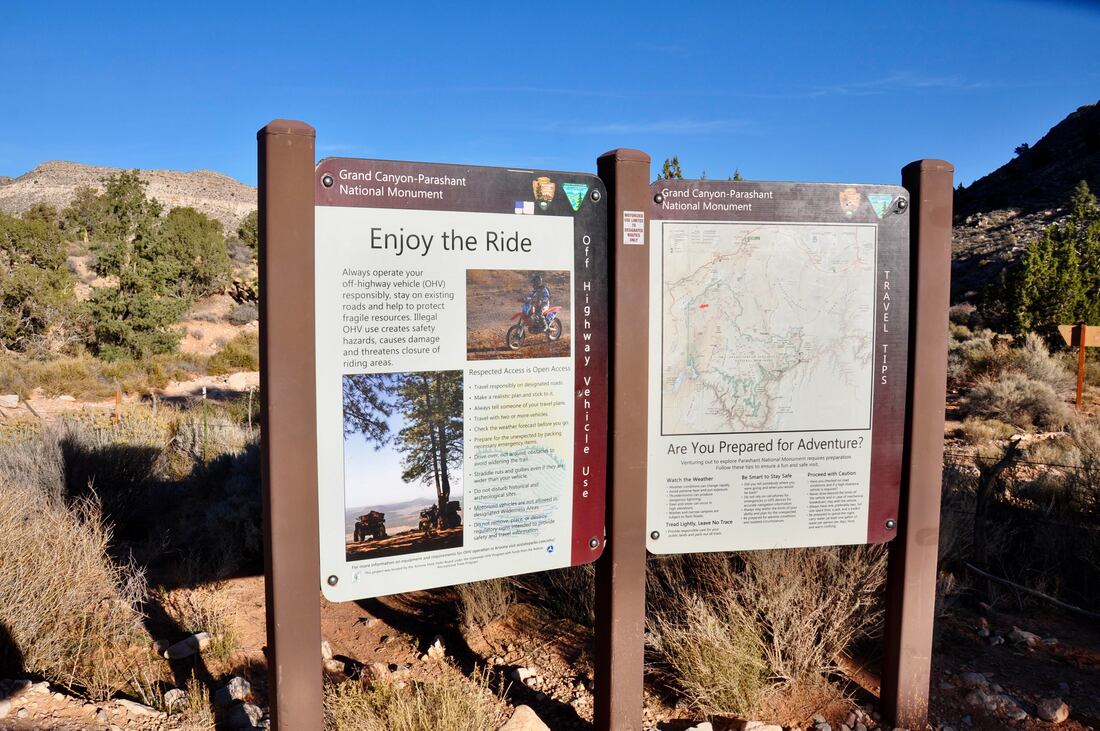
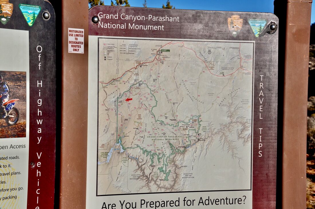
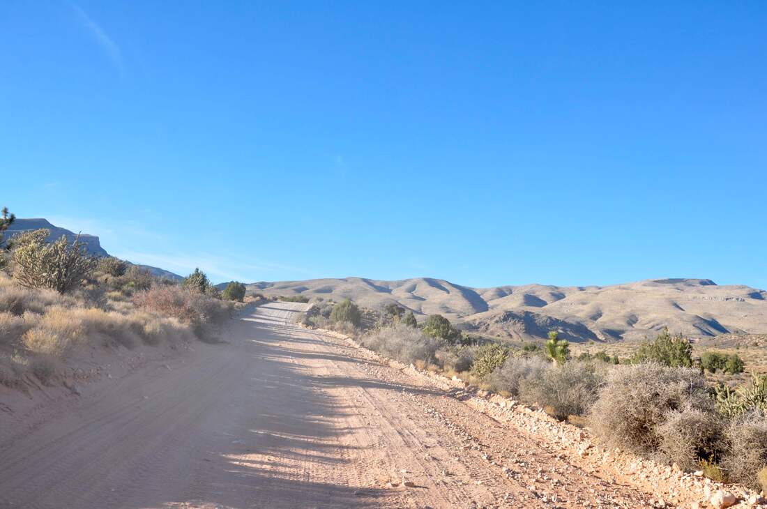
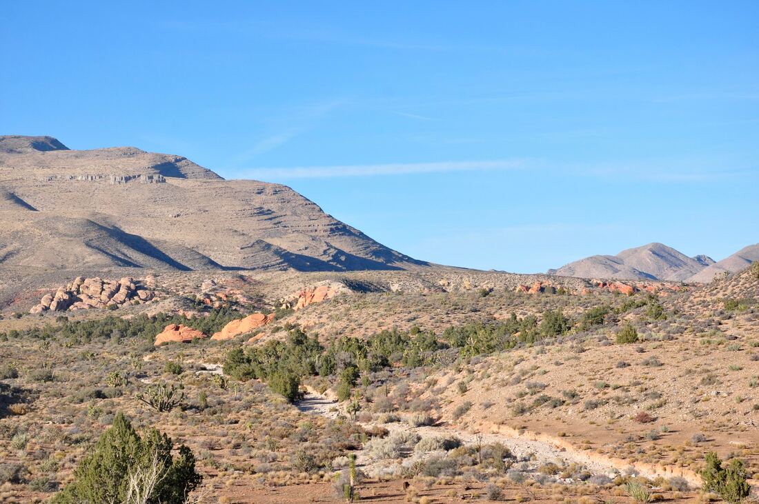
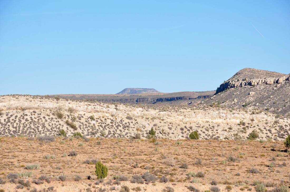
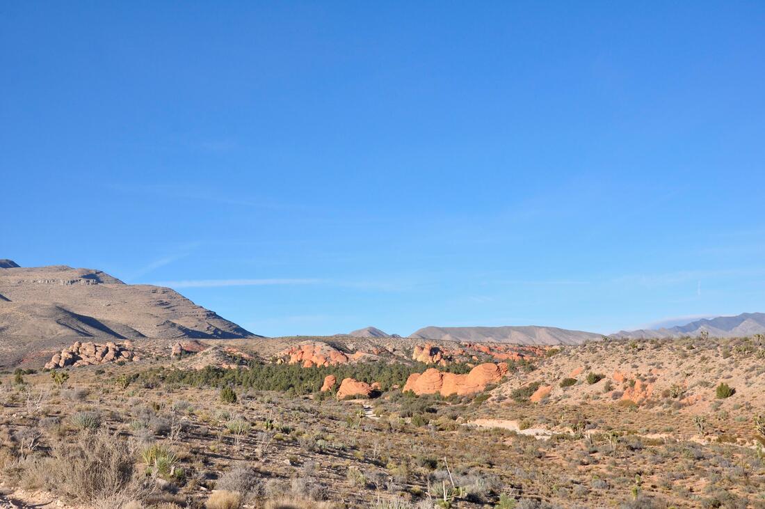
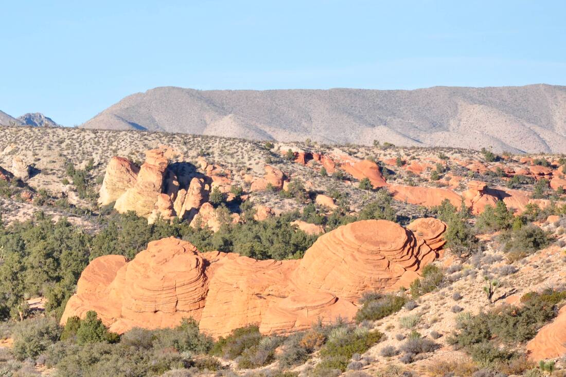
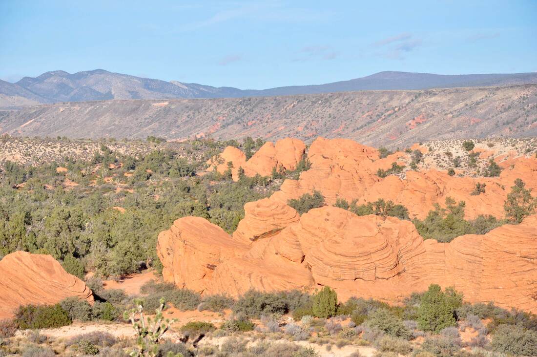
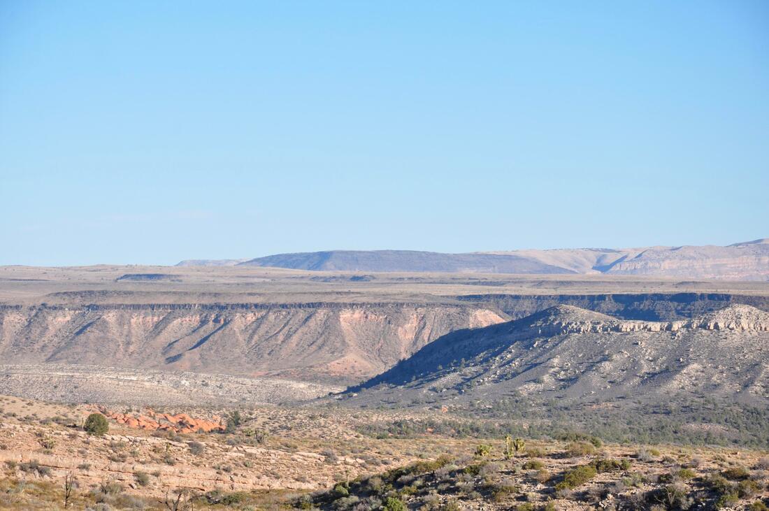
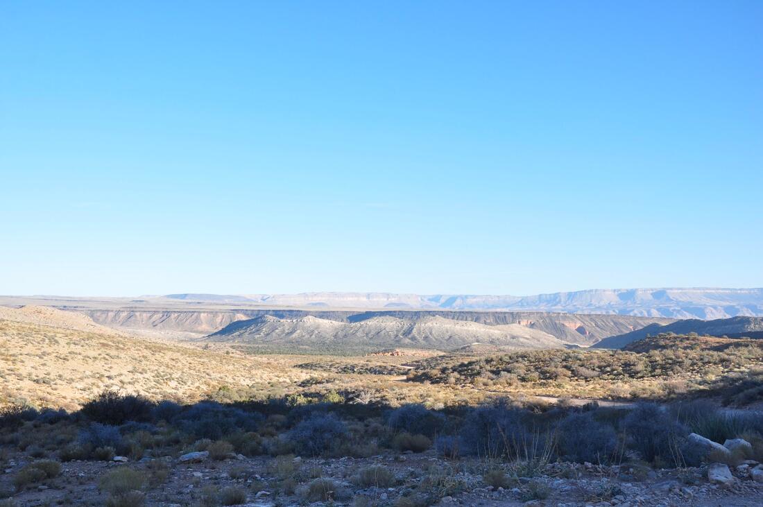
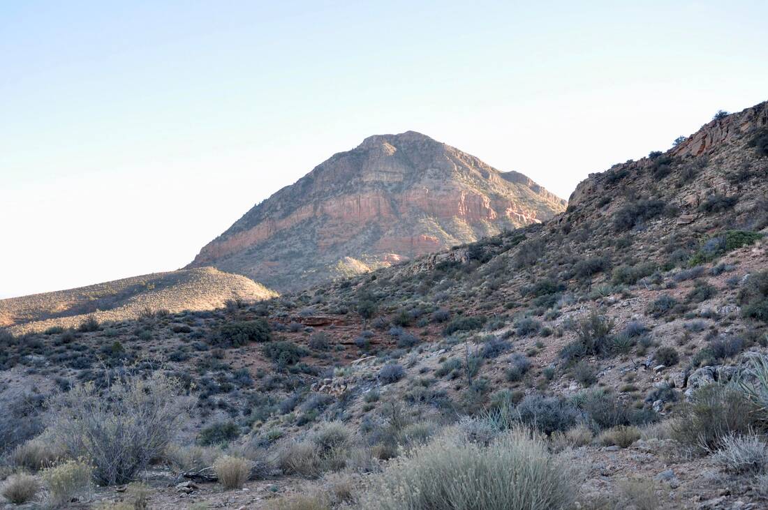
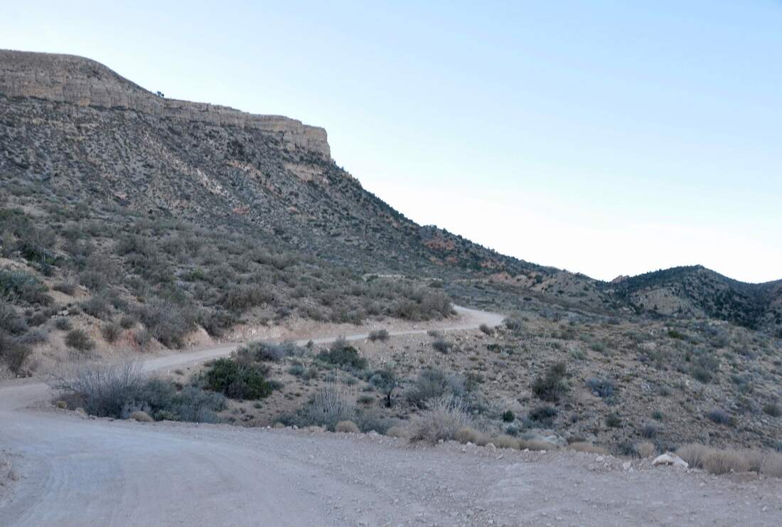
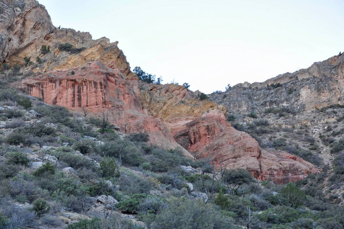
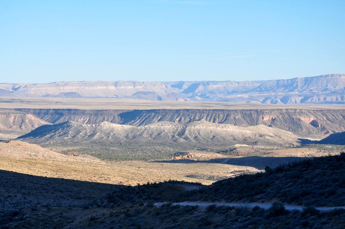
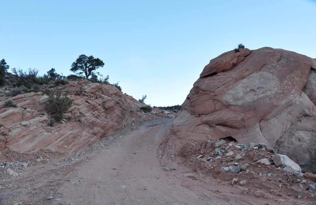
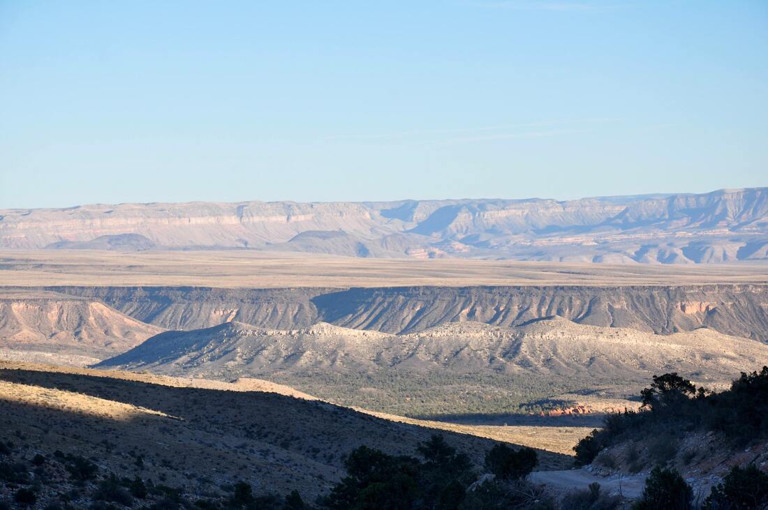
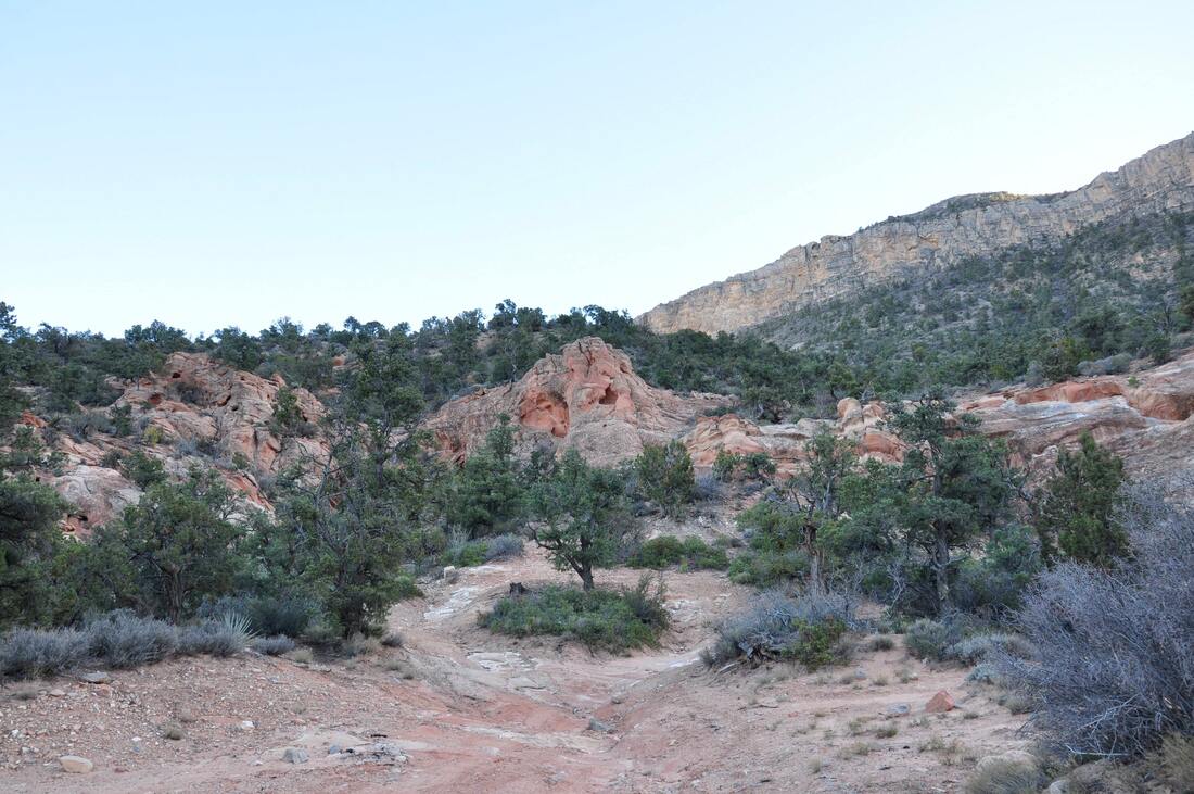
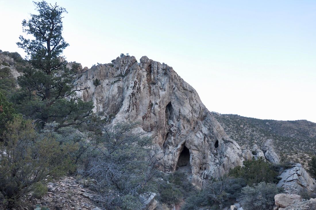
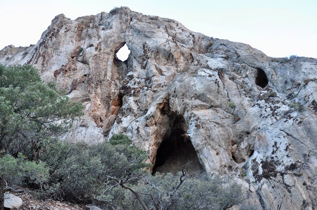
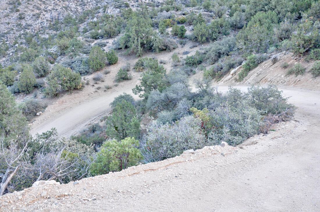
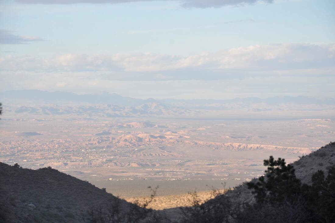
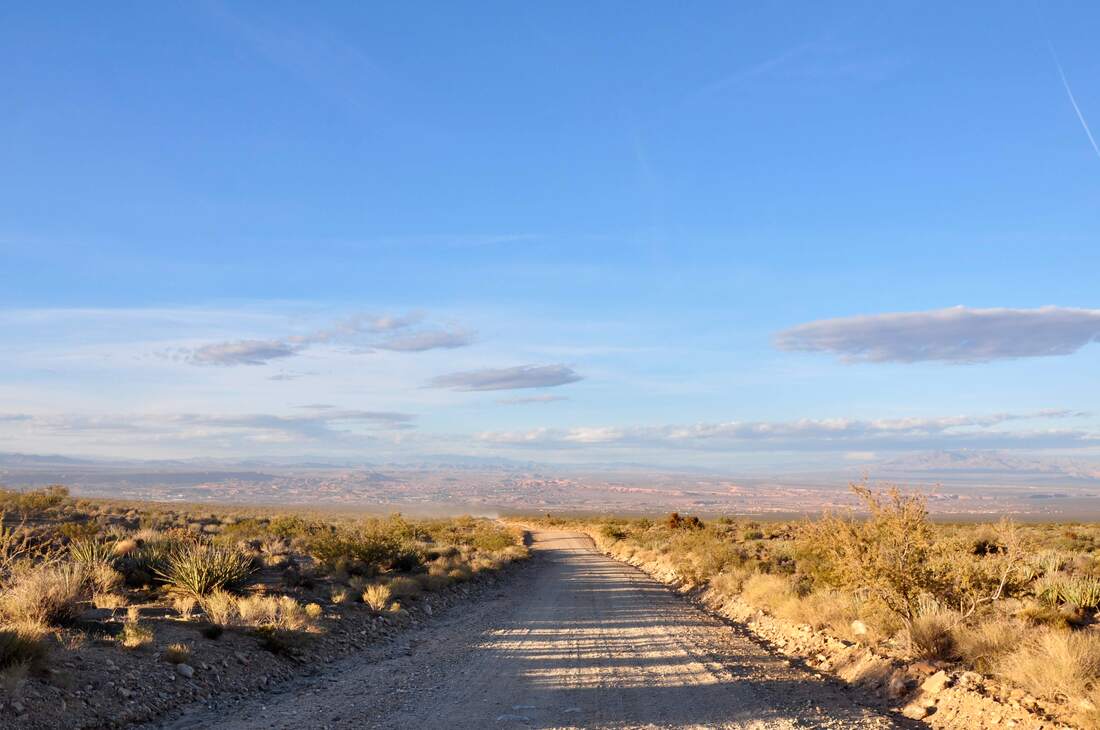
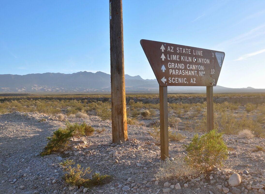
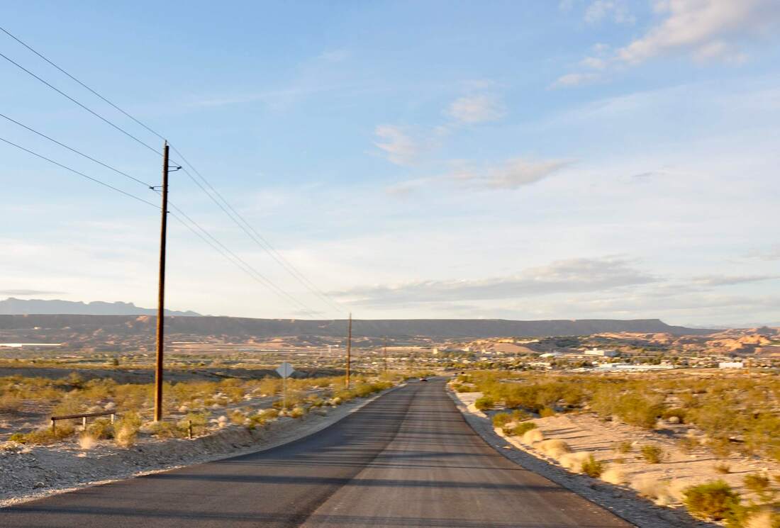
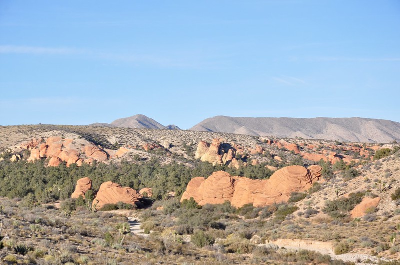
Today’s travel destination topic is a continuation of two previous articles. Being the third in the series, the scenic drive on Lime Kiln Canyon Road to Mesquite completes a 66 mile round trip loop. The first leg of the journey runs through Gold Butte National Monument to Aravada Springs at the Arizona border. The second leg continues from Aravada Springs through the Grand Canyon Parashant National Monument to Lime Kiln Canyon Road, which is where the third leg of the journey begins. This long touring loop begins and ends in Mesquite, Nevada, which is well known for being a 4×4 enthusiast basecamp in this region. Information about the first two sections of this touring loop can be found in the articles Whitney Pockets Road To Aravada Springs and Aravada Springs To Lime Kiln Canyon Road.Everything that an off-highway touring enthusiast needs to know is mentioned in these articles and the same preparatory conditions apply to the third leg of the trip. A high ground clearance two wheel drive vehicle, 4×4 or ATV are the only choices for this journey. There is no cel phone data service in this region, so a dedicated GPS device or an old fashioned paper map that features dirt roads will be needed. Most 4×4 vehicles can do the slow 66 mile touring loop on one tank of fuel, but some may need to haul an extra can of gas. Carrying an extra spare tire is a good idea. Packing enough food and water to last a few days is also a good preventative measure, in case of vehicle breakdown. The reason why so much preparation has to be done is because once you enter the Grand Canyon Parashant, there will be very little hope for rescue if something goes wrong and it is a very long walk back to civilization. The Grand Canyon Parashant National Monument is very remote and this park can only be accessed by driving on some very long dirt roads. Once inside the boundaries, navigating the Grand Canyon Parashant presents challenges too. Some of the dirt roads in this park are maintained and some are not. Some of the long dirt roads are marked with signs, while others require some mapping research. It is very easy to make a wrong turn in this National Monument and end up wasting gas on a long dead end road, which can cause the fuel supply to dwindle. As can be imagined, very few people visit this place, because the conditions are so unforgiving. For those who own a reliable 4×4 vehicle, the harsh conditions in the Grand Canyon Parashant will sound like a dream come true! This truly is a challenging place and a world of adventure awaits for those who take on the task. Doing any kind of excursion in the Grand Canyon Parashant is best during the winter or spring seasons while the temperatures are cool, because the extreme heat of summer can affect vehicle reliability. The 66 mile round trip loop from Mesquite can be done in one day, but most folks prefer to do an overnighter, because there are so many primitive campsites that offer majestic views in the mountains. In fact, the entire trip offers one great scenic view after another and there is some unique desert wildlife to be seen too. For these reasons, packing a good camera for the trip is highly recommended. Upon arrival at the four way dirt road intersection, where Lime Kiln Canyon Road, Kelly Point Road and CR 101 meet just north of Aravada Springs, all that a driver has to do is take the road that goes west uphill into the mountains to get back to Mesquite. There actually is plenty of signage at this intersection, so it is easy to pick the right direction to go. Depending on the brand of the map, the dirt road that goes to Mesquite may be called Lime Kiln Canyon Road or County Road 242. On some mapping systems, this road is not named at all and if so, I suggest finding a better map. Lime Kiln Canyon Road (County Road 242) is a straight shot to Mesquite with no change of route along the way. Once a traveler gets on the dirt road to Mesquite, looking at the map will not be necessary, unless one wants to explore the nooks and crannies on the side roads. Lime Kiln Canyon Road makes a gradual ascent up to the crest of the mountain, where a narrow gap pass between solid rock walls awaits. There is a maximum vehicle length limit for this narrow mountain pass, so those who drive big RV campers or haul long trailers may have to find an alternate route. Regular high ground clearance vehicles will have no problem squeezing through. On the way up the mountain, the panoramic views of the Grand Canyon Parashant are as spectacular as can be from the high ground. This is one of the last unspoiled wilderness areas in the west, so it is a place to view Mother Nature in all her glory. There are no scenic overlooks along this dirt road, but stopping to take in the views anywhere you may prefer is no problem, because you will be lucky to see any other vehicles in this extremely remote area. After traversing the crest of the mountain range, driving on Lime Kiln Canyon Road becomes more challenging. There are plenty of hairpin turns and narrow switchbacks with very steep drop offs along the way, as this road snakes through the narrow passes. The environment also changes in the high elevations, so do not be surprised to find pine and juniper forests after spending the earlier part of the day down on the barren desert floor. These are steep mountains and they do cast dark shadows that can make it seem much later in the day than it really is, which adds to the visual effect. There are many big caves and towering sculpted rock formations that can be seen along crest line section of this road, so plan on taking the time to stop and do some exploring when passing through. After passing through the last of the narrow solid rock wall gaps, the dirt road starts a steep descent downhill and shifting into low gear will be necessary. Eventually the steep downhill run evens out and the dirt road follows a lower elevation ridge line in the direction of Mesquite. There are a few spots along this road where the complete Virgin River Valley comes into view and the town of Mesquite can be seen in the distance. From here on out, it is nothing but a smooth dirt road downhill run all the way to the intersection of Riverside Road near downtown Mesquite, where civilization can be found. Back in Mesquite, this 66 mile trip is one of the most often recommended by locals for Jeep owners. Mesquite is a 4×4 and ATV haven, so there is no better choice of a start and end point for a long round trip journey in these parts. Jeep and ATV rentals can be found in Mesquite, so it is easy to get the show on the dirt road!
1 Comment
James Dunn
2/7/2024 11:10:56 am
Where can I find a good map for this area?
Reply
Your comment will be posted after it is approved.
Leave a Reply. |
Leave no trace!
New!
Destination West YouTube channel! https://www.youtube.com/@DestinationWestOrg *The Destination West website upgrading project is well underway. Unique YouTube slideshows are replacing the outdated Flickr photo galleries. The new videos feature modern graphics and alternative music instrumentals that enhance the viewing experience. Some articles are being condensed, while others are getting much needed edits. As everybody knows, the bulk of the original articles and photos were published on the fly during the Covid camping venture and there were limitations. Upgrading is the way to go and more articles will receive a makeover each week until this project is completed. After that, I will be able to gather new material. There is light at the end of the tunnel!
JD Lane Archives
July 2024
Donations help the Destinaton West project continue into the future!
Go Fund Me! This website uses marketing and tracking technologies. Opting out of this will opt you out of all cookies, except for those needed to run the website. Note that some products may not work as well without tracking cookies. Opt Out of Cookies |
