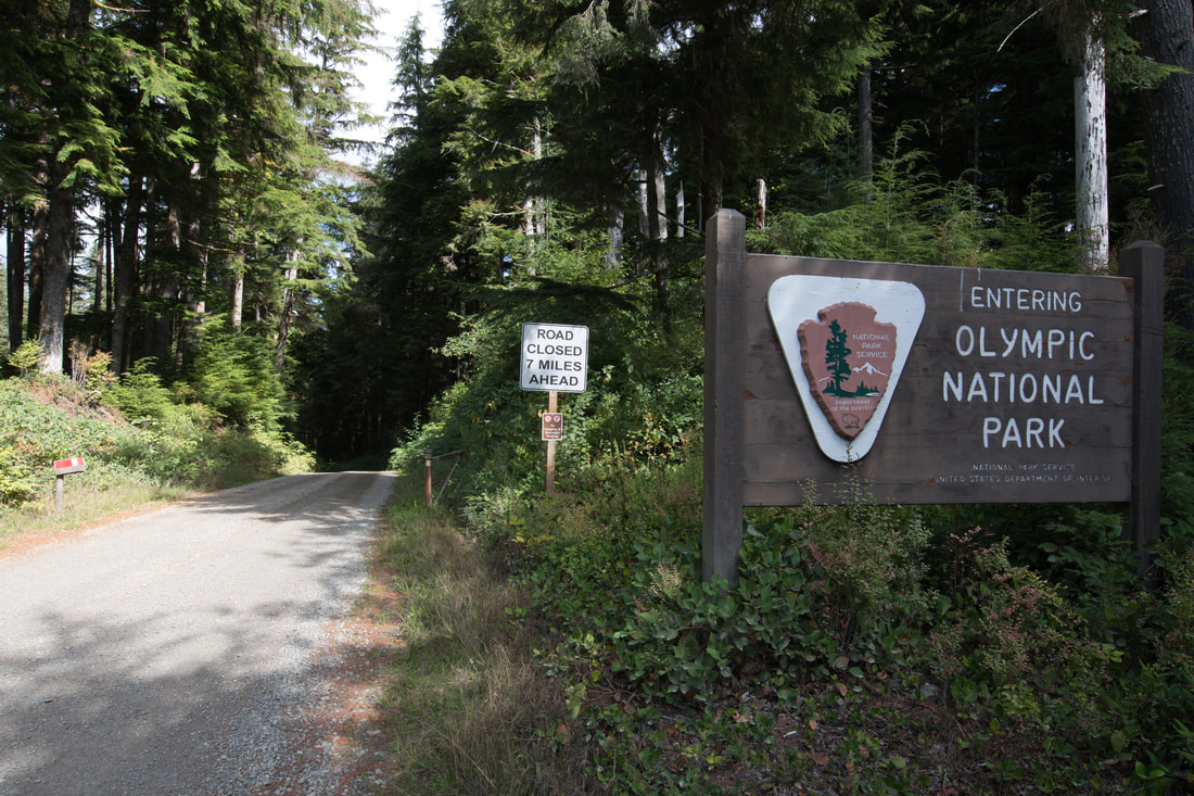
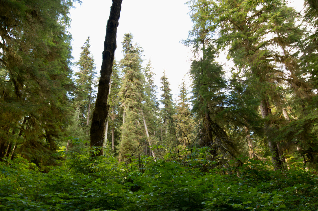
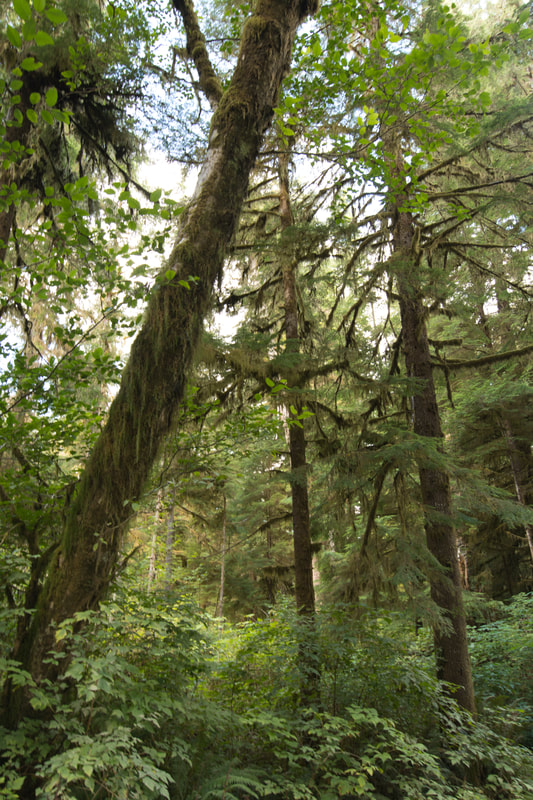
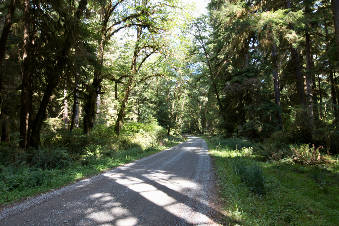
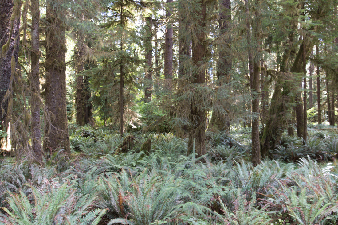
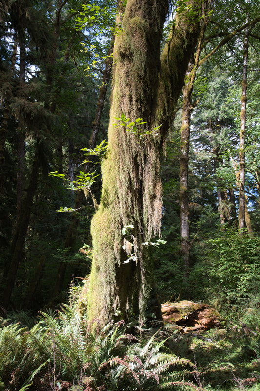
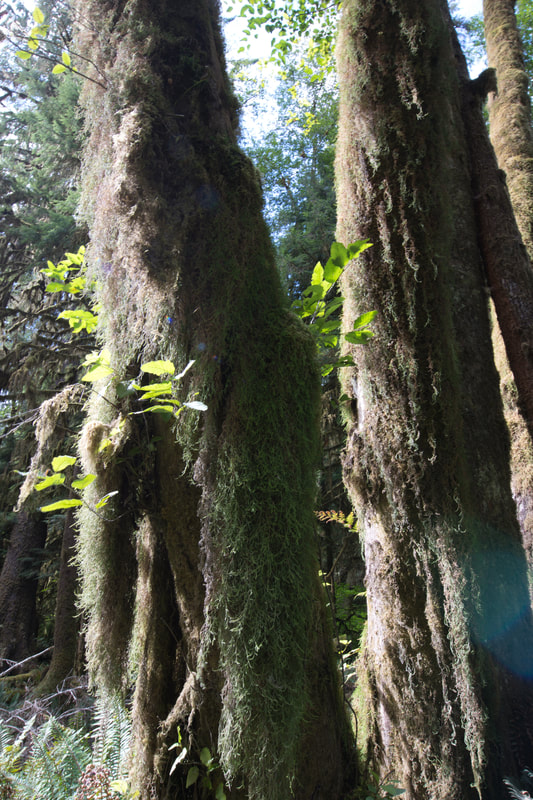
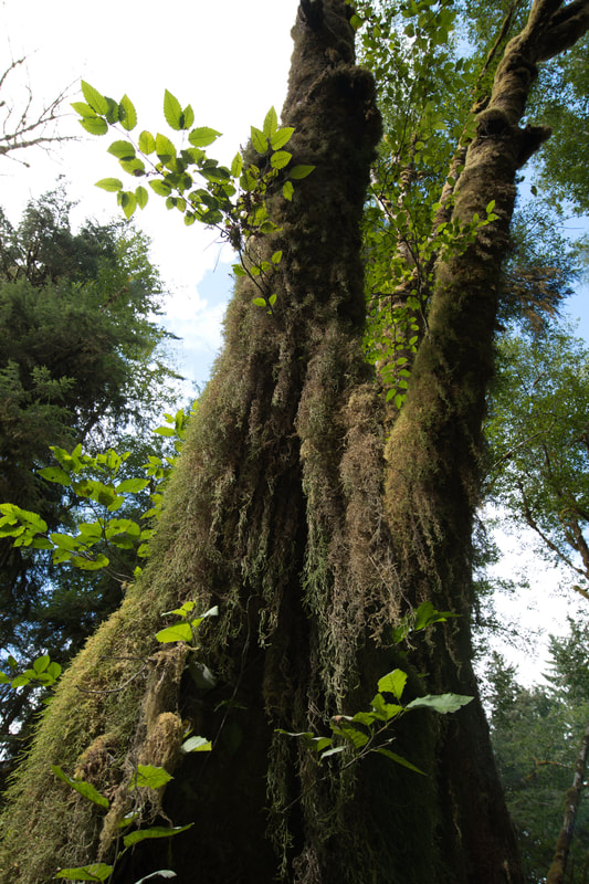
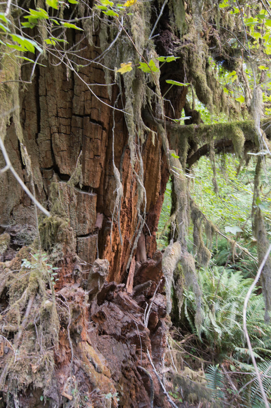
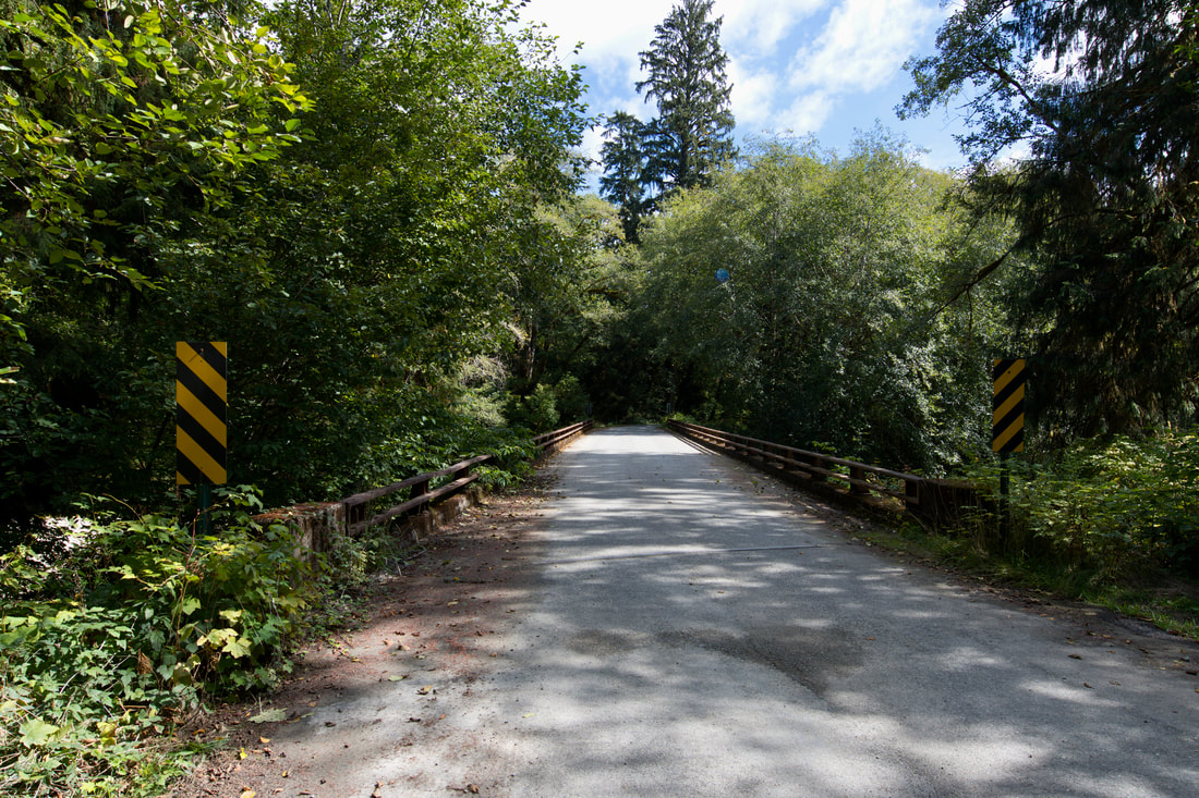
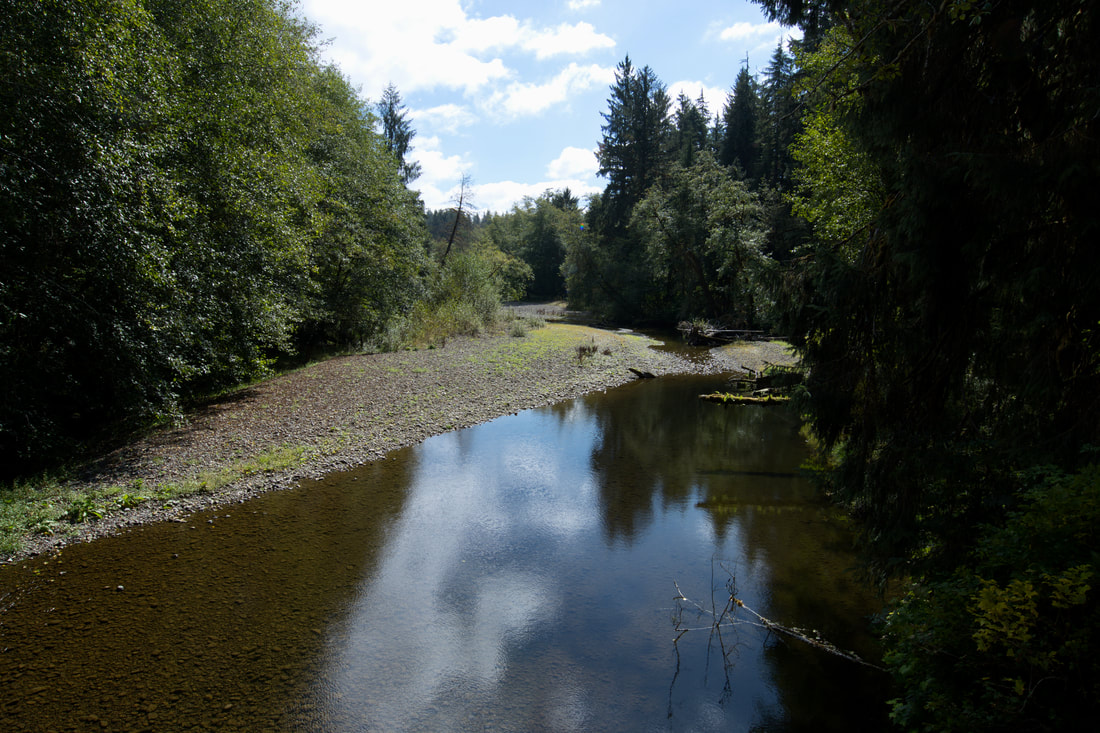
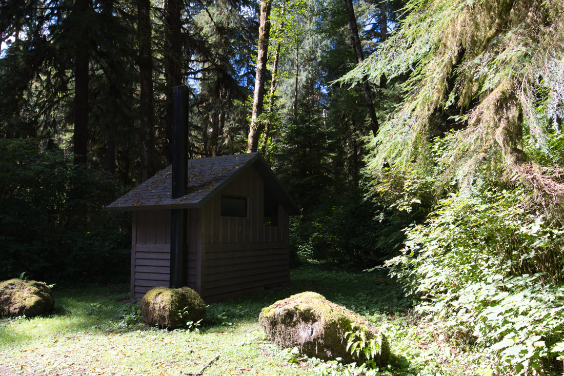
            Flickr album link: Lower Queets Valley Lower Queets Road runs off of the beach highway in Olympic National Park and this touring route parallels the Queets River deep into this famous rainforest wilderness. This 11 mile pathway is a smooth dirt road that most vehicles can easily manage and there are many turnouts along the way that offer mesmerizing view of the moss covered trees. The Queets River comes into view quite often along the way and landscape artists will find plenty of opportunities for a fascinating study. Canoeing or kayaking the Queets River is a popular way to experience this section of the park and there are hiking trails that go much deeper into this misty rain drenched environment. When a clearing is found next to the river, it will pay to take a good look, since the Queets Valley is one of the western most glacial valleys on the continent. The views just keep getting better the further one goes, but it is best to set aside plenty of extra time, because the urge to stop and stare at the mossy tall trees will certainly be overwhelming!
0 Comments
Your comment will be posted after it is approved.
Leave a Reply. |
Leave no trace!
New!
Destination West YouTube channel! https://www.youtube.com/@DestinationWestOrg *The Destination West website upgrading project is well underway. Unique YouTube slideshows are replacing the outdated Flickr photo galleries. The new videos feature modern graphics and alternative music instrumentals that enhance the viewing experience. Some articles are being condensed, while others are getting much needed edits. As everybody knows, the bulk of the original articles and photos were published on the fly during the Covid camping venture and there were limitations. Upgrading is the way to go and more articles will receive a makeover each week until this project is completed. After that, I will be able to gather new material. There is light at the end of the tunnel!
JD Lane Archives
July 2024
|
