|
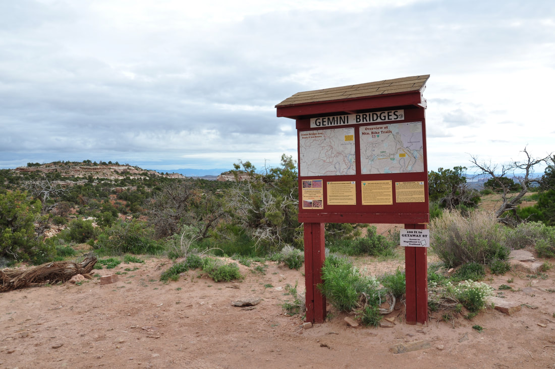
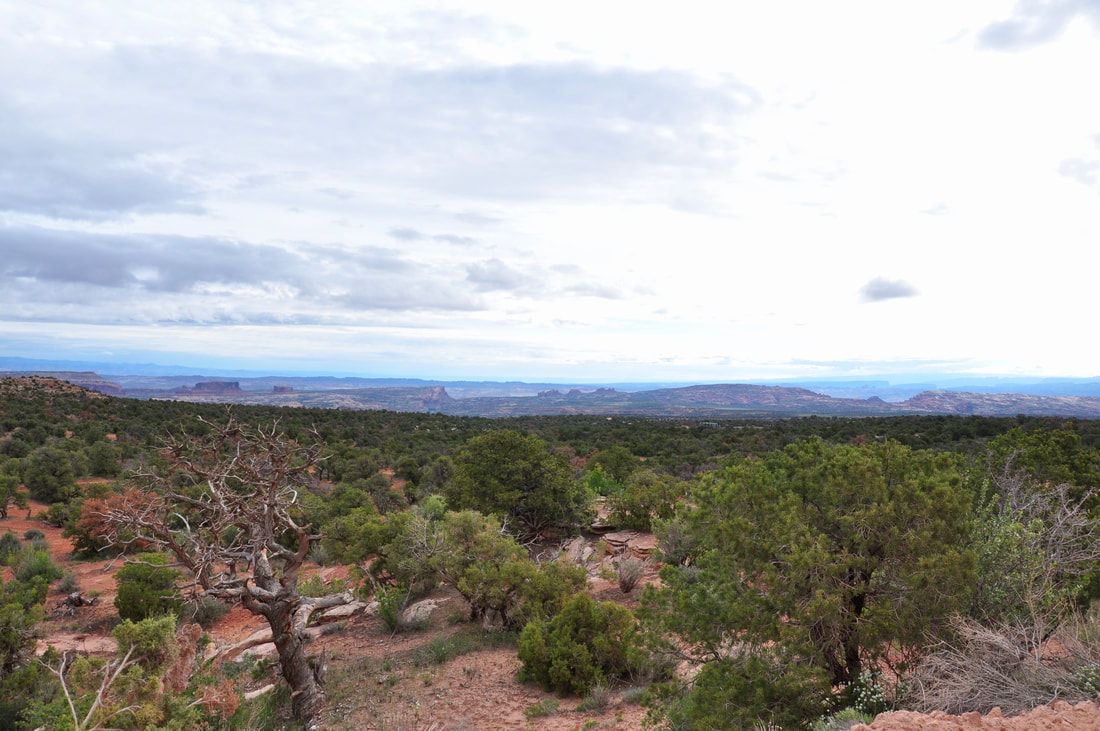
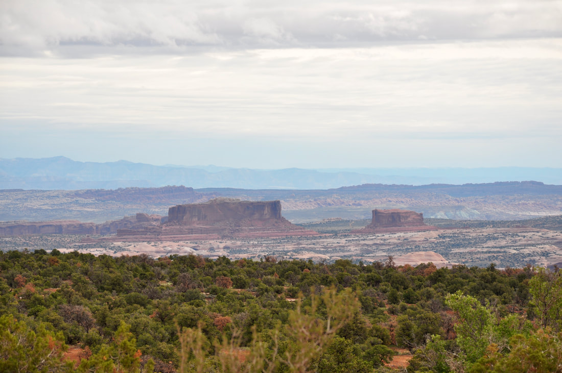
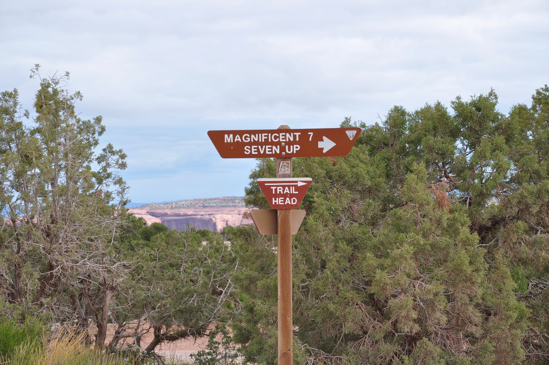
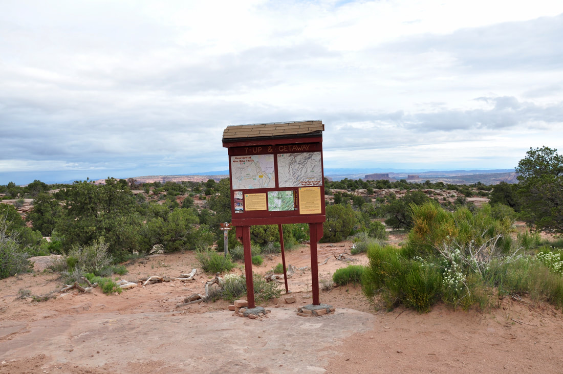
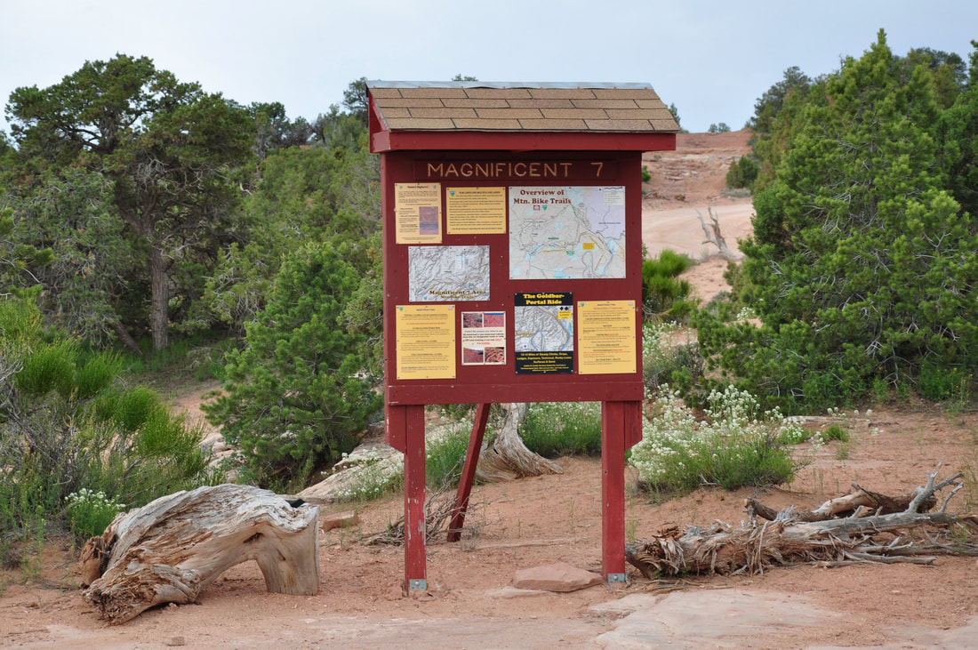
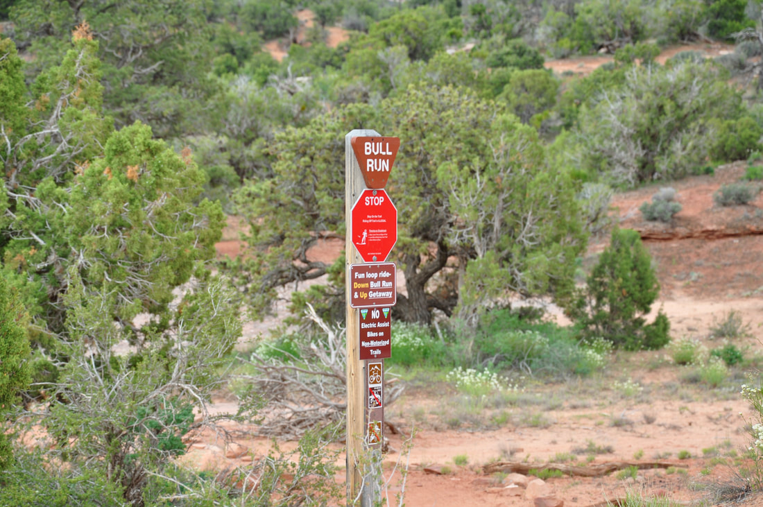
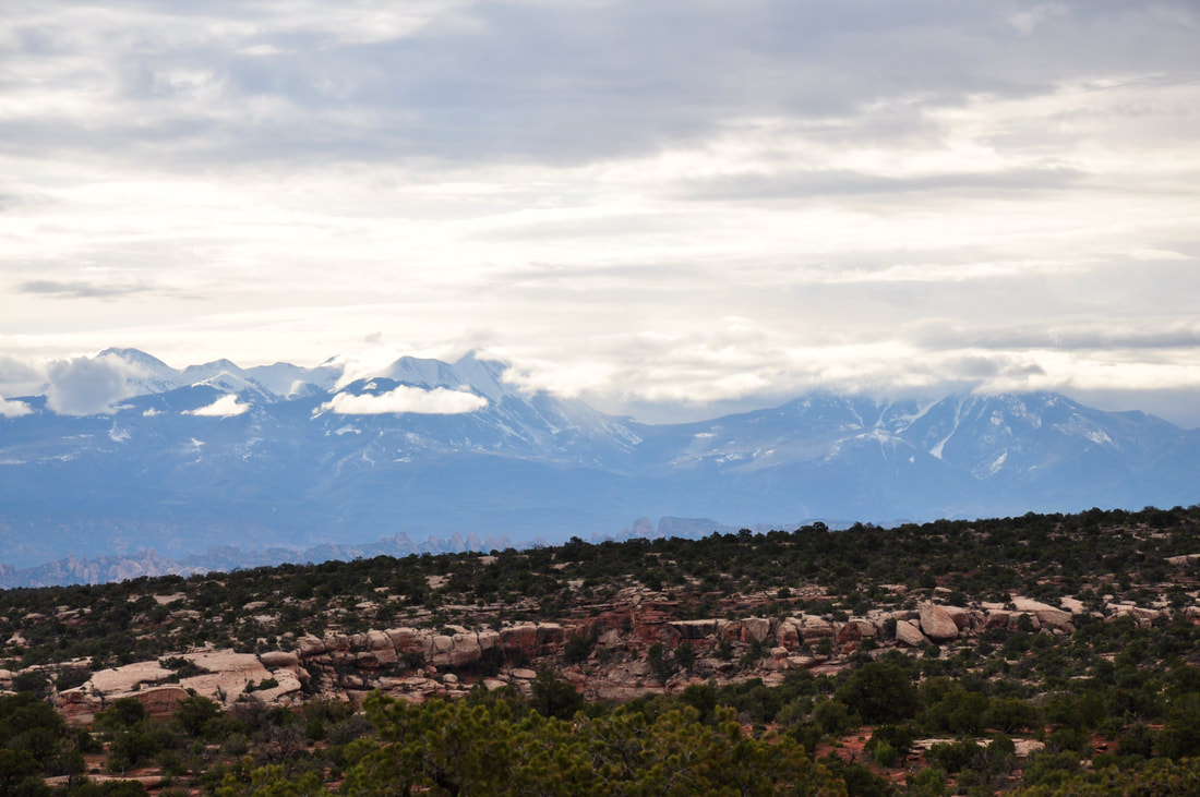
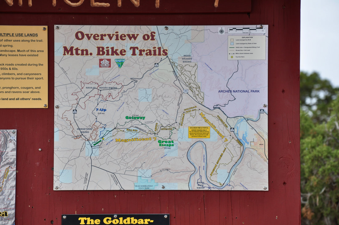
The mountain biking trail system in the Moab region is extensive and the trail skill level ratings vary greatly. Mountain biking trails can be found everywhere from Canyon Rims Recreation Area to Canyonlands, the Colorado Riverway Recreation Area, Arches and further northwest all the way to the Interstate Highway 70. There is even a very lengthy bike trail that runs from Moab all the way to the McInnis Canyons National Conservation Area in Colorado! Some of the Moab region trails are intimidating, because this canyon carved landscape is so mind boggling to comprehend. In the Moab region there are tall snow capped mountain peaks, ancient petrified dunes, ledge trails that drop 400 feet straight down and steep ascents that will leave the legs feeling like rubber. On the lighter side, there are also easy going trails over level ground that offer plenty of majestic landscapes to see. Touring the Colorado River in the shade of the tall cottonwoods is as relaxing as biking venture gets! The only limiting factors for taking on the Moab bike trails is personal fitness and equipment reliability. There are bike trails for all skill levels and the tough ones can be dangerous, so selecting the trail that is best suited for one's own capability is best to do. The reason why has to do with the remoteness of this region. There are almost no no cellular phone signals to be found and even a GPS may not be reliable in the deep canyons. Getting into a risky situation may result in serious injury and rescue will likely not happen anytime soon, so it is best to tour the long back country bike trails in pairs or in groups as a safety measure. The most important thing to keep in mind on the bike trails in this high desert region is hydration and altitude sickness. Knowing where water can be found along the trails will enable carrying less weight, but an extra water reserve also has to be carted along as a safety measure, in case of breakdown or body temperature overheating. Altitude sickness is only a concern on the nearby mountain bike trails. Taking frequent breaks, snacking and maintaining extra hydration is the best way to prevent altitude sickness. Coming down with heat stroke or altitude sickness can ruin a vacation, so it pays to take it easy till the body adjusts. Where to start a bike trail venture and finding a trail that is best suited for an individual can easily be done by visiting the Moab BLM website and the Canyonlands National Park website. Trail maps and descriptions are provided, while the warnings and closures are kept up to date. These websites are good for planning a Moab biking adventure prior to arrival, but it is best to visit one of the local Public Lands Ranger Stations or the Canyonlands Needles District Visitor Center before hitting the trails, because plenty of intangible information can be gathered by chatting with the rangers. For example, if you want to photograph some Bighorn Sheep, a ranger will likely know a bike trail that offers such an opportunity. They also know where the natural arches and other interesting landmarks are located. Moab has a visitor center that is a good bike trail resource and every bike rental shop in this area knows the trail system well. Renting a mountain bike is a carefree way to tour this region and plenty of information will be provided when the money is laid down. The shops also rent hard core fat tire trail bikes, so letting it all hang out can be easily done even with the rentals! To get from Moab to the Canyonlands Island In The Sky, following the bike trails through the Gemini Bridges BLM Area is the way to go. This trail system will deliver a mountain biker to the top of the Island In the Sky Mesa near Dead Horse Point State Park. The Canyonlands Island In The Sky Visitor Center is also close by and right across the street is the Shafer Trail. Along Highway 313 near Dead Horse Point is a staging area for several Moab biking trailheads, which include the Magnificent 7, Getaway, 7-Up, Bull Run and the Great Escape Trails. Some of these bike trails go a very long way into the landscape and they intersect with many other famous biking pathways. The signage is good along the trails, but carrying a paper map or using a detailed GPS is indispensable for not getting lost. To be quite honest, it would take several months for an avid mountain biker to tackle every trail in the Moab region, but for most folks, the aches and pains from just doing a weekend on these demanding trails is way more than enough! The Moab bike trails are an adventure like no other and the scenery certainly is as majestic as can be. This definitely is reason enough to take on the challenging Moab biking trails!
0 Comments
Your comment will be posted after it is approved.
Leave a Reply. |
Leave no trace!
New!
Destination West YouTube channel! https://www.youtube.com/@DestinationWestOrg *The Destination West website upgrading project is well underway. Unique YouTube slideshows are replacing the outdated Flickr photo galleries. The new videos feature modern graphics and alternative music instrumentals that enhance the viewing experience. Some articles are being condensed, while others are getting much needed edits. As everybody knows, the bulk of the original articles and photos were published on the fly during the Covid camping venture and there were limitations. Upgrading is the way to go and more articles will receive a makeover each week until this project is completed. After that, I will be able to gather new material. There is light at the end of the tunnel!
JD Lane Archives
July 2024
Donations help the Destinaton West project continue into the future!
Go Fund Me! This website uses marketing and tracking technologies. Opting out of this will opt you out of all cookies, except for those needed to run the website. Note that some products may not work as well without tracking cookies. Opt Out of Cookies |
