|
00:00 Title
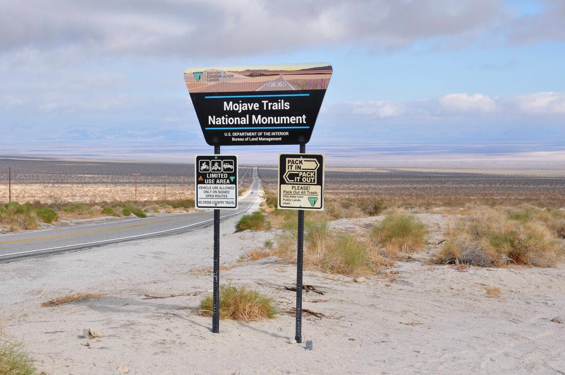
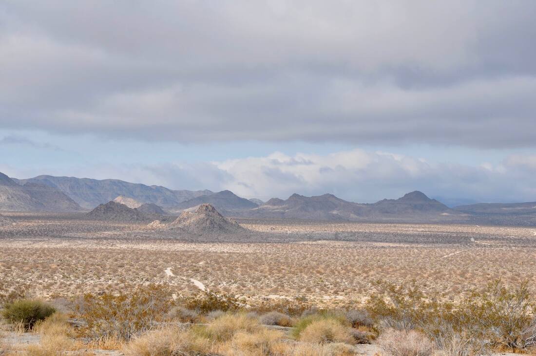
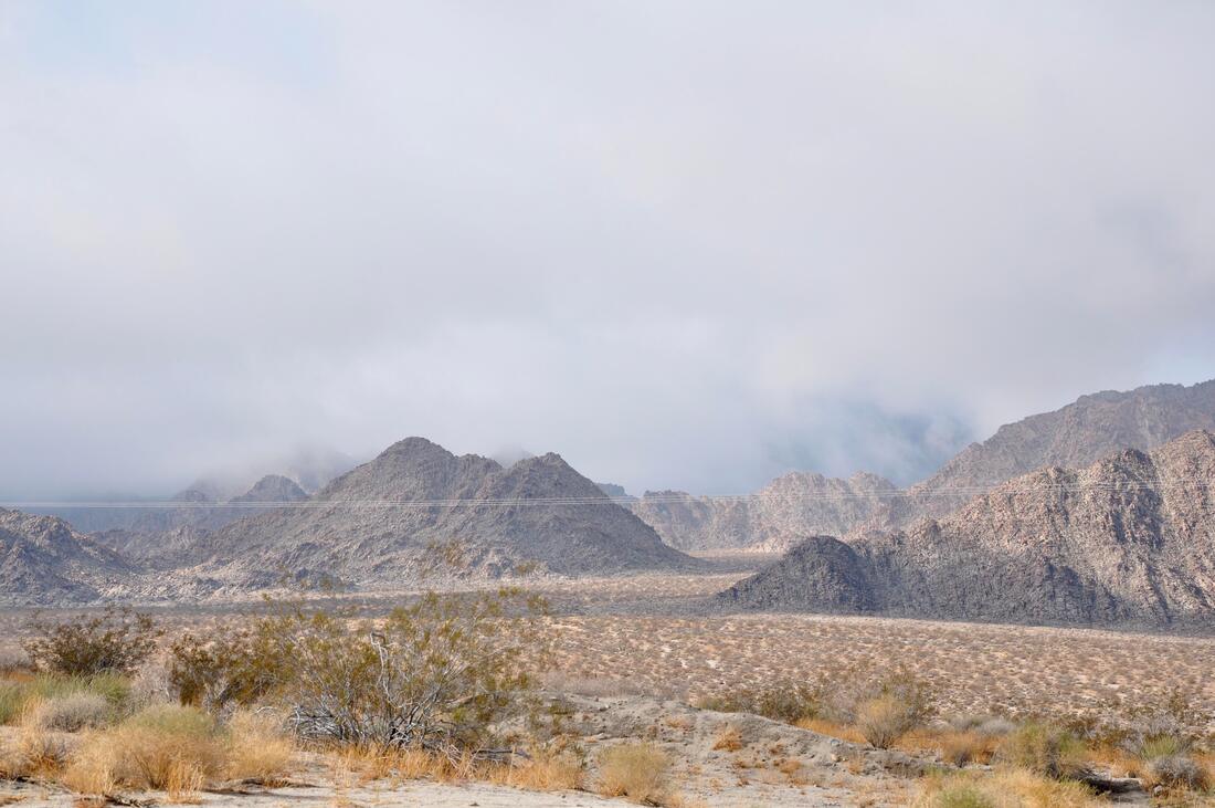
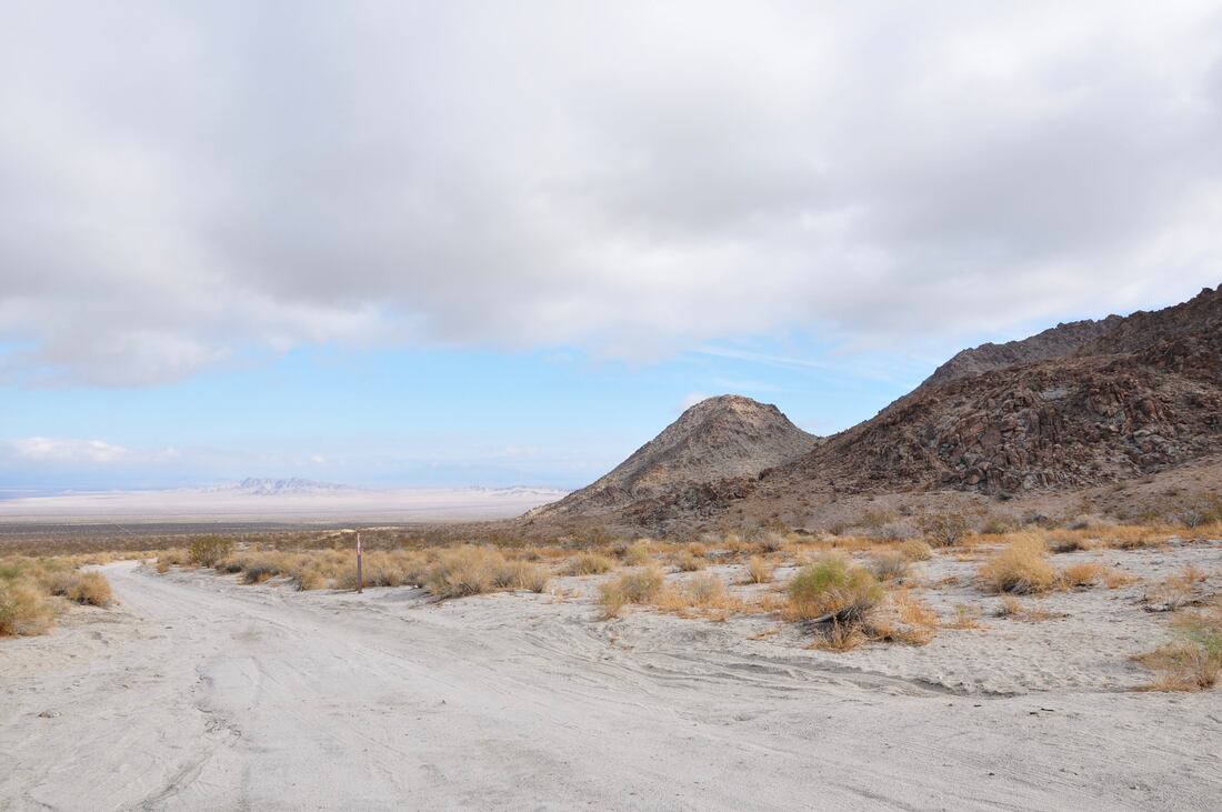
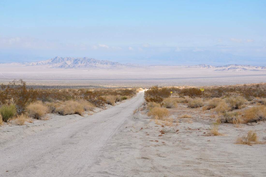
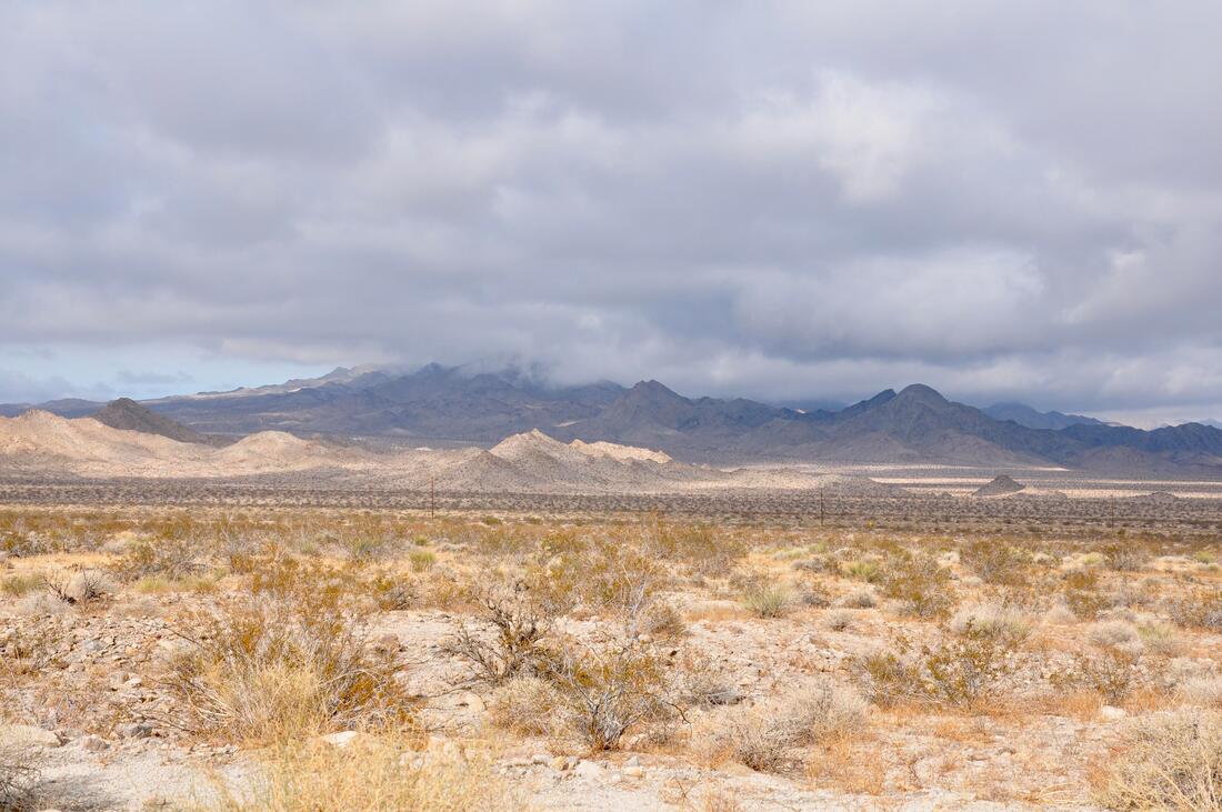
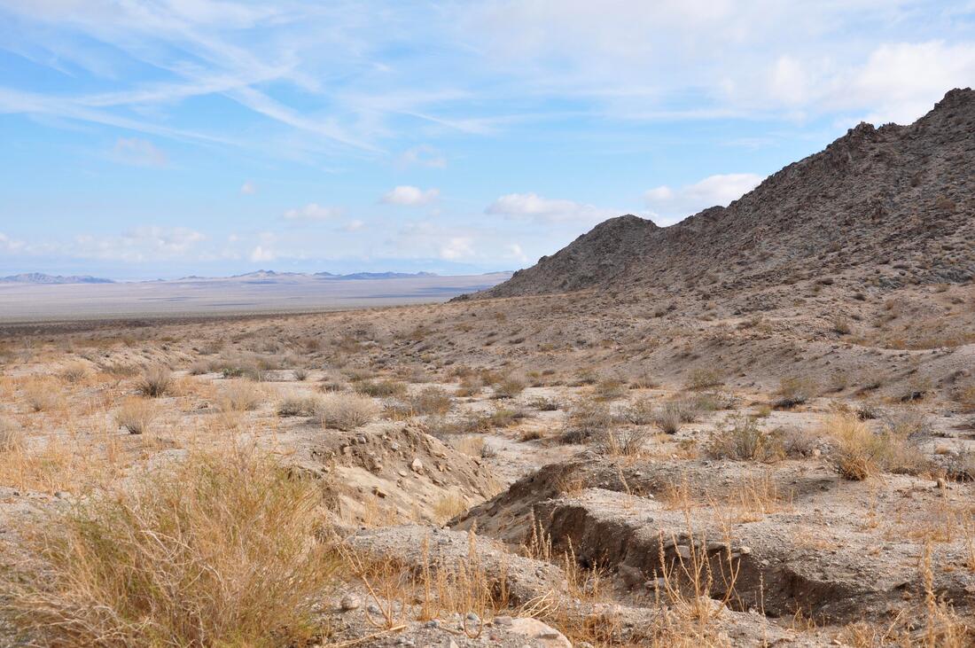
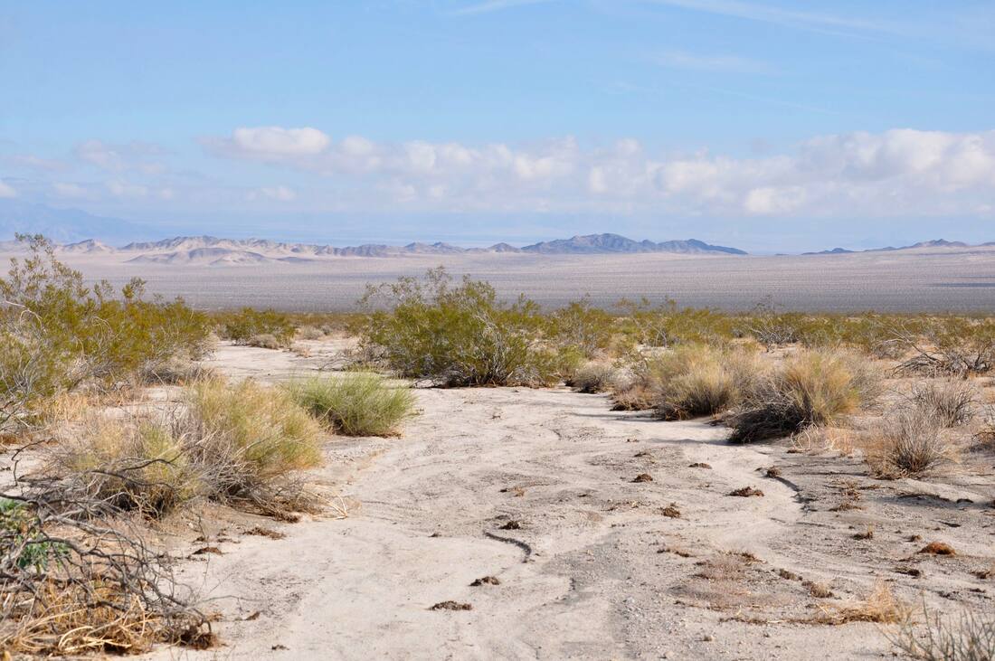
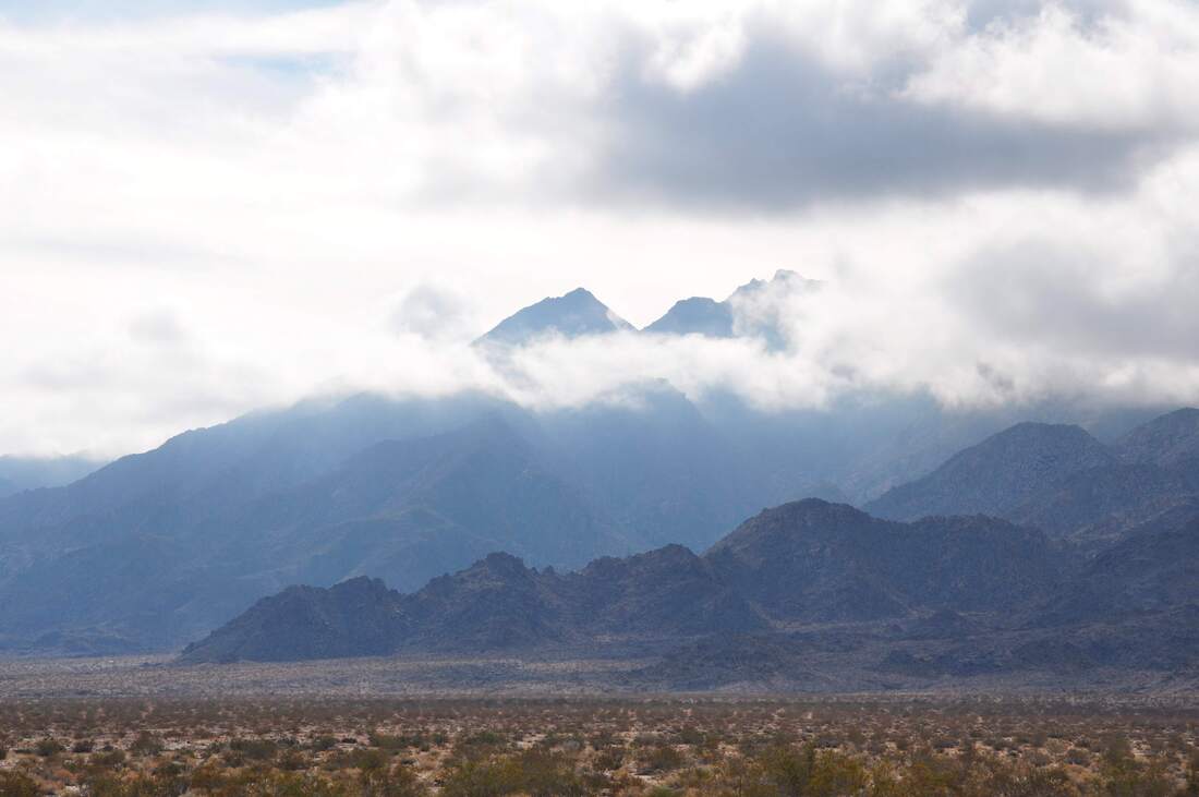
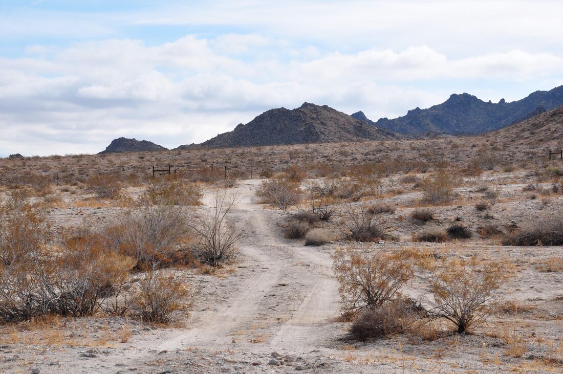
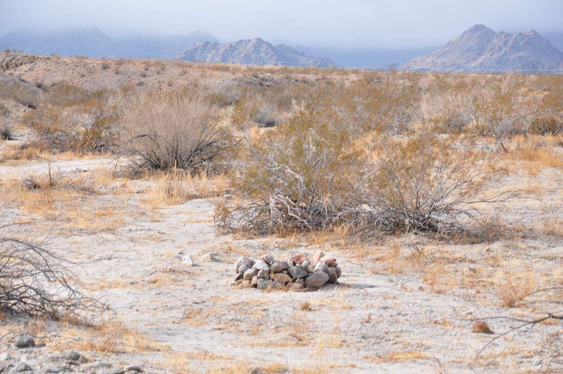
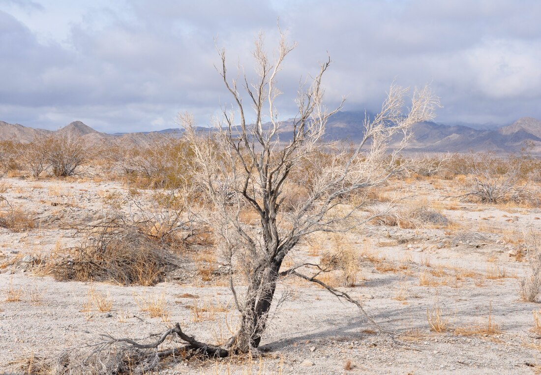
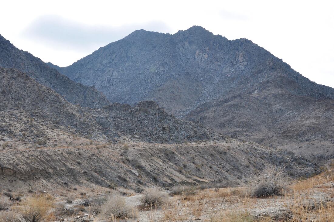
00:14 South End 03:39 Afton Canyon Campground 05:53 Afton Canyon 11:21 Fin The Mojave Trails National Monument is one of the most recent public lands to be designated with protected status. Currently this national monument barely appears on standard mapping systems and finding a detailed map that shows the dirt trails that meander through this wilderness is even more difficult to do. This big patch of land in the unforgiving Mojave Desert currently is undeveloped, so it truly is as wild as it gets! To be honest, this article is a brief overview of Mojave Trails because this was not a planned stop and when I arrived onsite my vehicle was low on fuel. I just snapped a few pictures while passing through on the way to the Amboy Crater National Natural Landmark, which actually is part of this protected park. The boundary of Mojave Trails covers the ground between I-40 and I-15 near Route 66 Amboy all the way east to the Mojave National Preserve, which is another new national park in this same region. The photos depict views of the Mojave Trails National Monument along Amboy Road, which also heads south to Joshua Tree National Park. All of the local national parks in this region share common Mojave Desert geological features, yet they are all unique in their own way. Mojave Trails is a mountainous area that is surrounded by ancient ocean bottom silt basins, sand dunes and vast dry mud wash flows. This place is also a volcanic field with several cinder cones and lava fields. The jagged rhyolite peaks intermingle with sedimentary upheavals, so the Mojave Trails terrain certainly does vary on a grand scale. The name Mojave Trails refers to the ancient native foot trail system that runs through the entire Mojave Desert territory and beyond. These foot trails were well known to the local people and some of the paths later became wagon trails, which eventually turned into paved roads. Many of the lesser known ancient trails are still distinguishable, because the arid desert environment has a way of preserving the past. While on location I followed a Jeep trail for a few miles and found some old campsites next to a bare rock mountain, but that was as far as the fuel supply allowed me to travel that day. Pacific fog and a storm front rolled through at that time, so the views of the mountains were ominously forbidding. The Mojave Trails National Monument certainly is a picturesque landscape to take in, so be sure to bring a good camera along for the ride. It is also best to be well prepared if you plan to explore the backcountry because there is no cel phone service and you will be responsible for your own survival. On that note, Mojave Trails is a top choice for making the great escape happen!
0 Comments
Your comment will be posted after it is approved.
Leave a Reply. |
Leave no trace!
New!
Destination West YouTube channel! https://www.youtube.com/@DestinationWestOrg *The Destination West website upgrading project is well underway. Unique YouTube slideshows are replacing the outdated Flickr photo galleries. The new videos feature modern graphics and alternative music instrumentals that enhance the viewing experience. Some articles are being condensed, while others are getting much needed edits. As everybody knows, the bulk of the original articles and photos were published on the fly during the Covid camping venture and there were limitations. Upgrading is the way to go and more articles will receive a makeover each week until this project is completed. After that, I will be able to gather new material. There is light at the end of the tunnel!
JD Lane Archives
July 2024
Donations help the Destinaton West project continue into the future!
Go Fund Me! This website uses marketing and tracking technologies. Opting out of this will opt you out of all cookies, except for those needed to run the website. Note that some products may not work as well without tracking cookies. Opt Out of Cookies |
