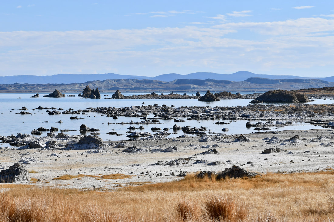
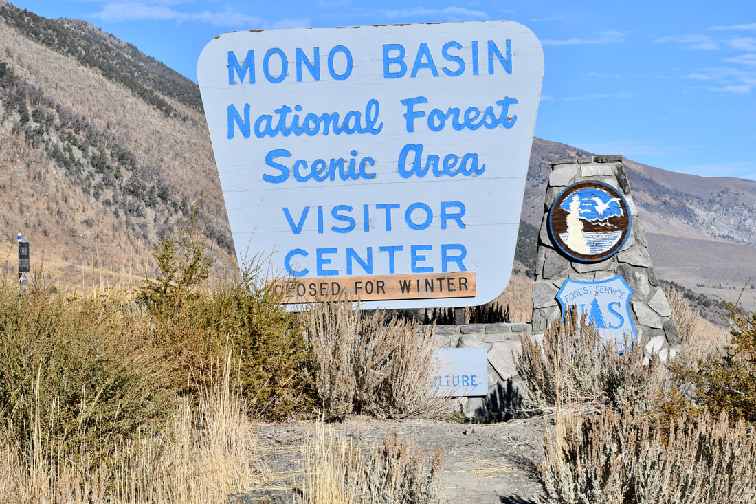
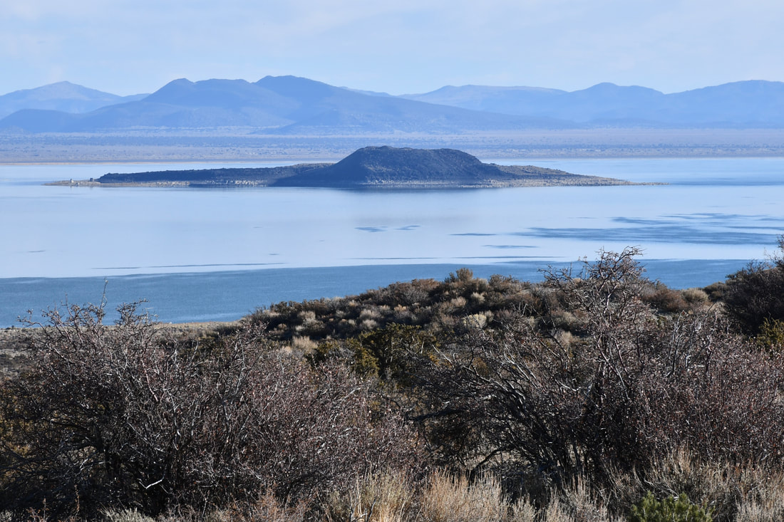
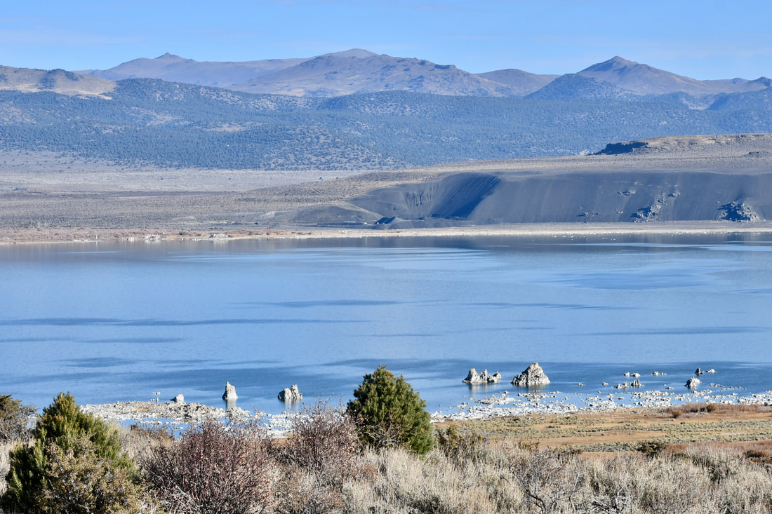
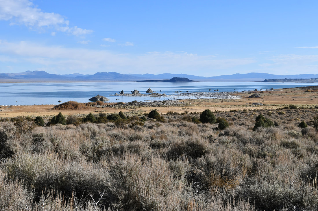
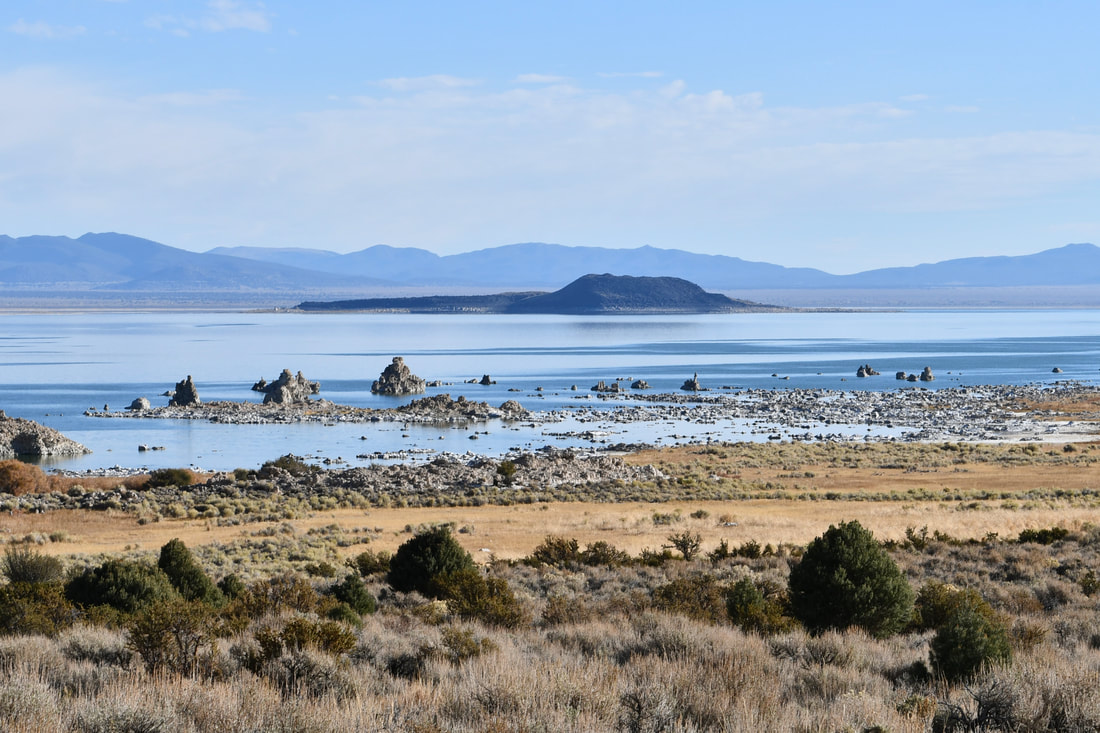
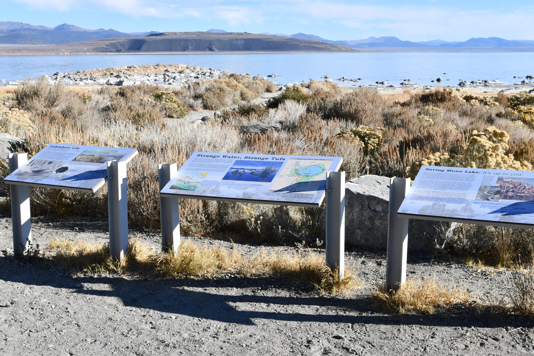
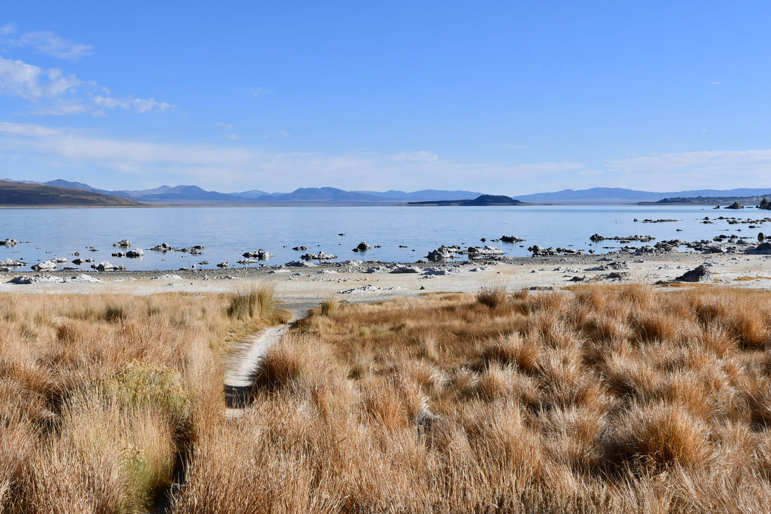
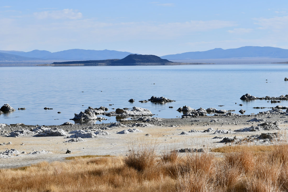
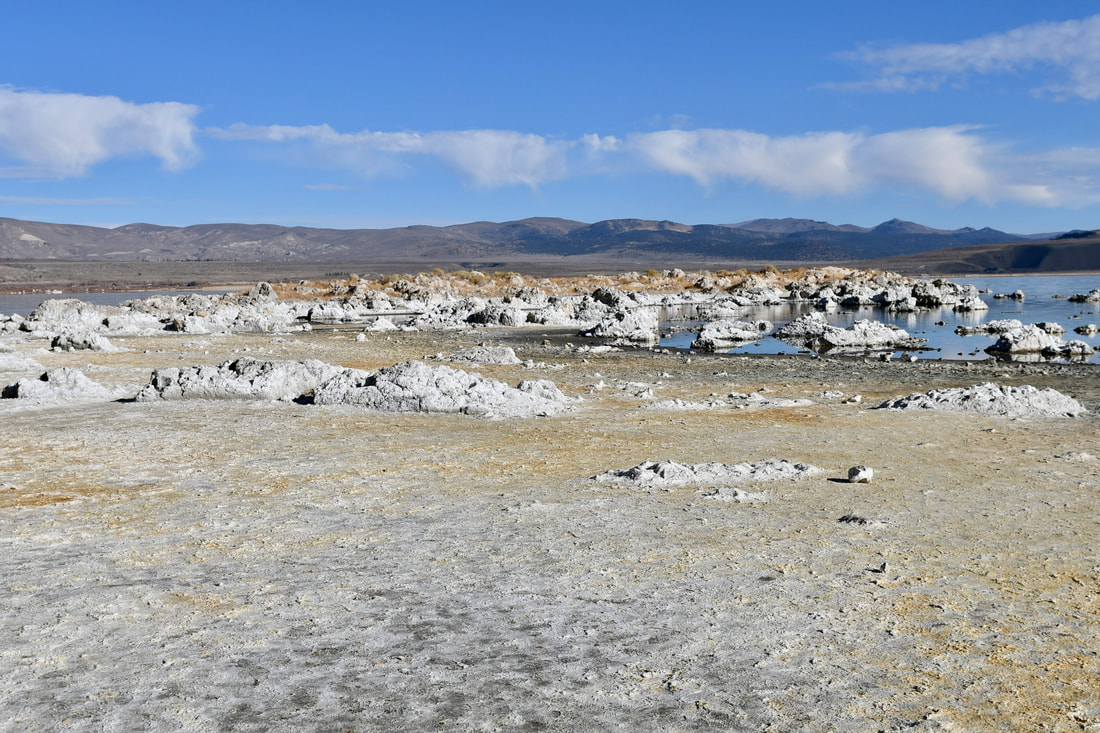
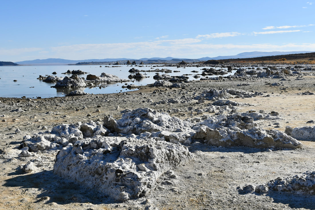
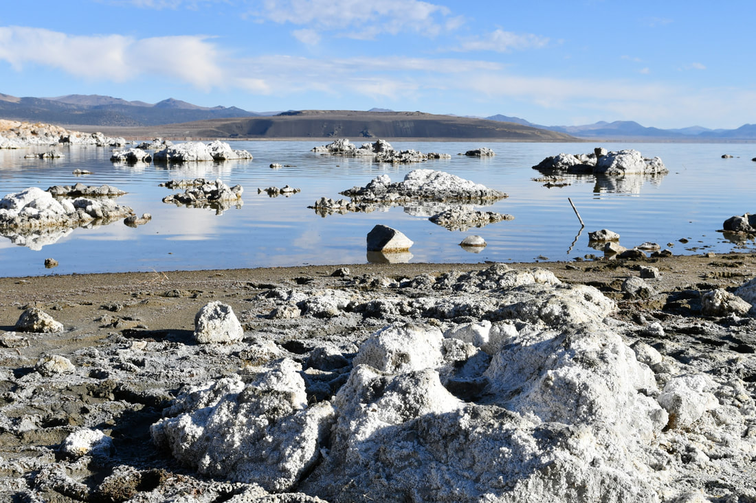
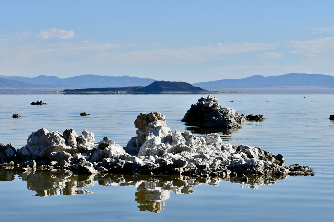
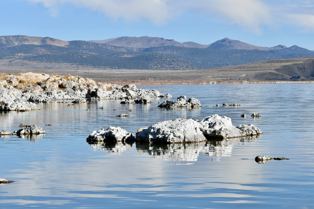
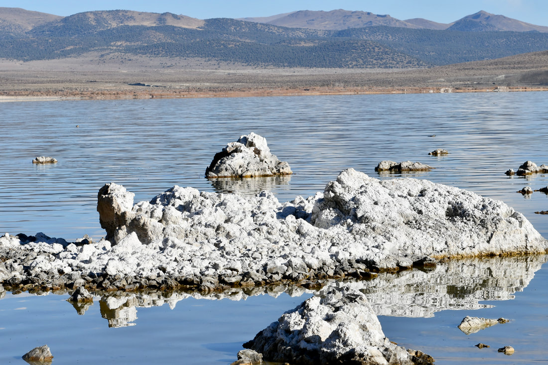
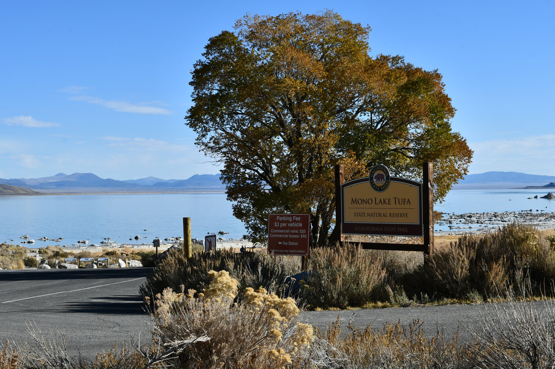
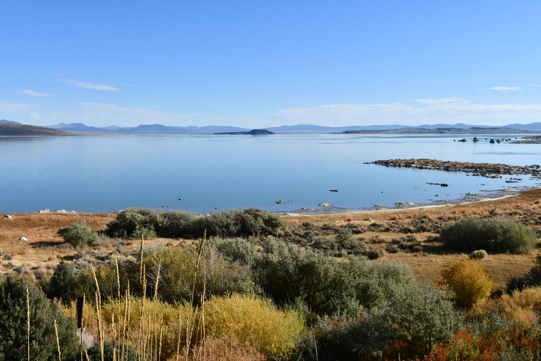
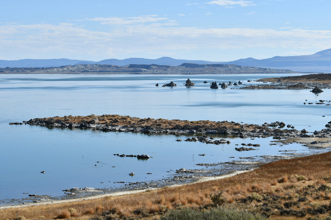
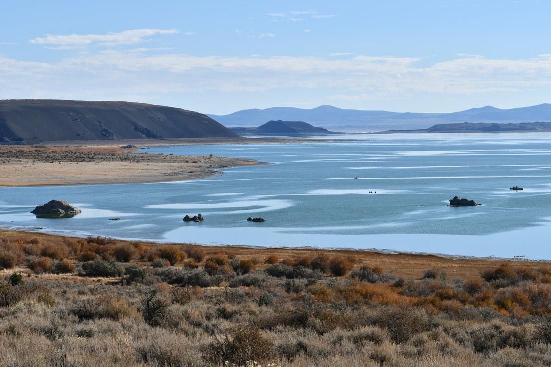
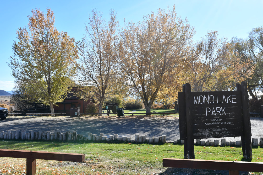
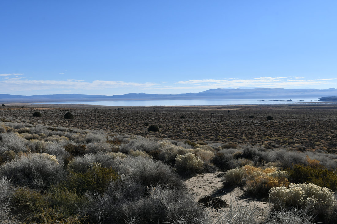
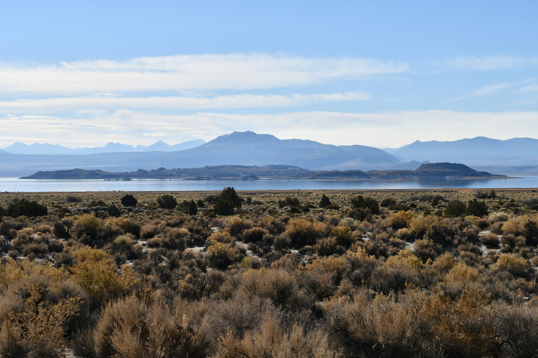

Flickr album link: Mono Basin Mono Lake certainly is a surreal place to be and hours can be spent gazing upon this otherworldly landscape. There are a few access points for touring this large body of water and the main entrance by the visitor center actually offers one of the best viewpoints. The Mono Basin Scenic Area is managed by the Inyo National Forest Service and the visitor center is the best place to begin the venture, because plenty of information about the nature of this unique place is freely available. Warnings about the toxic lake water and other hazards are posted here, which are good to know if children or pets came along for the ride. There also is information about closed access areas that are currently undergoing wildfire restoration, like the southeast end of the lake where the tall pine forest extends toward the shoreline. Mono Lake definitely is a place where the more you know ahead of time, the better thing will go, because there will be a million questions that come to mind when exploring this amazing place. Trying to explain how Mono Lake came to be is a time consuming proposition. Explaining the odd looking tufa cones and pillars that rise from the shallow waters is also head scratching material that is better left to the park service tour guide pamphlet. Basically, the Sierra Nevada Mountain Range is a zone where tectonic plates collide. The tremendous underground pressure created the mountains that rise to the sky, several large cinder cones and a vast geothermal area that is still active to this day. Hot springs dot this volcanic landscape and where the steaming hot water percolated up to ground level in the ancient past, cemented tufa columns were created. Erosive forces over eons of time have exposed the tufa, which can actually be seen all along the front range, even as far south as Trona Pinnacles. The tufa certainly add a dramatic effect to the Mono Basin landscape, which attracts landscape artists worldwide. Mono Lake is one of the most photographed places on earth and many landscape painters are drawn to this destination. The colorful sunrises are best captured from the visitor center at the west end of the lake, while the east end provides some of the best sunsets in this region. The tufa make for some amazing foreground subject material, so be sure to pack a camera for the ride. On a side note, the photos for this article were captured with a very pricy Nikon 24-70mm ƒ/2.8 lens, which is something I usually do not carry in the field in case of mishaps. This is one place where it is worth pulling all the stops, because the images will provide fond memories that last a lifetime!
0 Comments
Your comment will be posted after it is approved.
Leave a Reply. |
Leave no trace!
New!
Destination West YouTube channel! https://www.youtube.com/@DestinationWestOrg *The Destination West website upgrading project is well underway. Unique YouTube slideshows are replacing the outdated Flickr photo galleries. The new videos feature modern graphics and alternative music instrumentals that enhance the viewing experience. Some articles are being condensed, while others are getting much needed edits. As everybody knows, the bulk of the original articles and photos were published on the fly during the Covid camping venture and there were limitations. Upgrading is the way to go and more articles will receive a makeover each week until this project is completed. After that, I will be able to gather new material. There is light at the end of the tunnel!
JD Lane Archives
July 2024
|
