|
00:00 Title
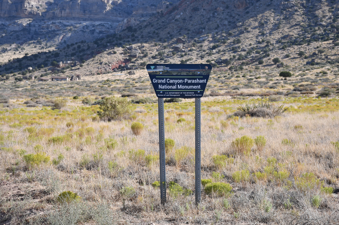
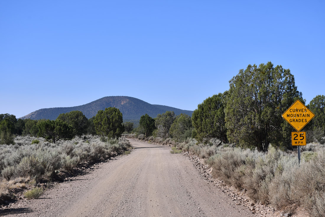
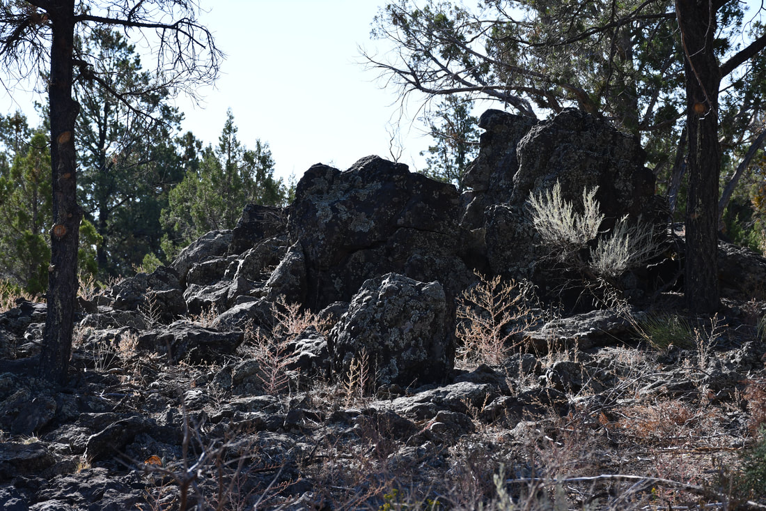
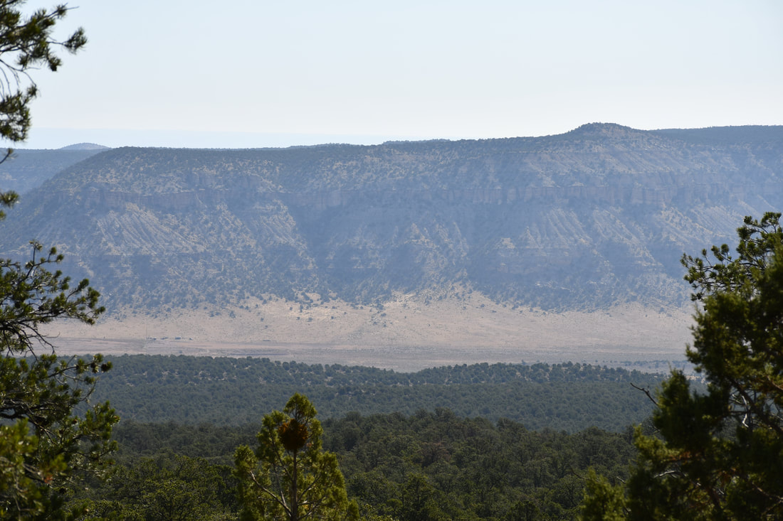
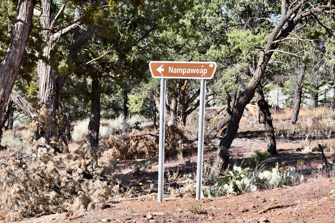
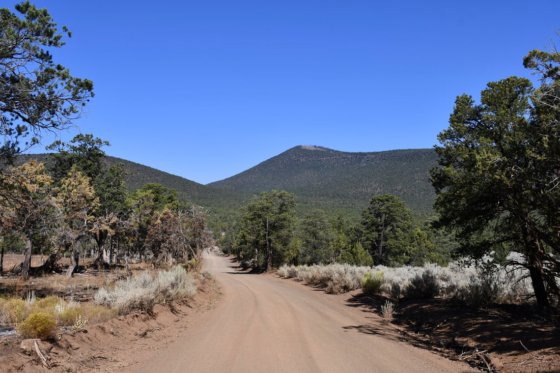
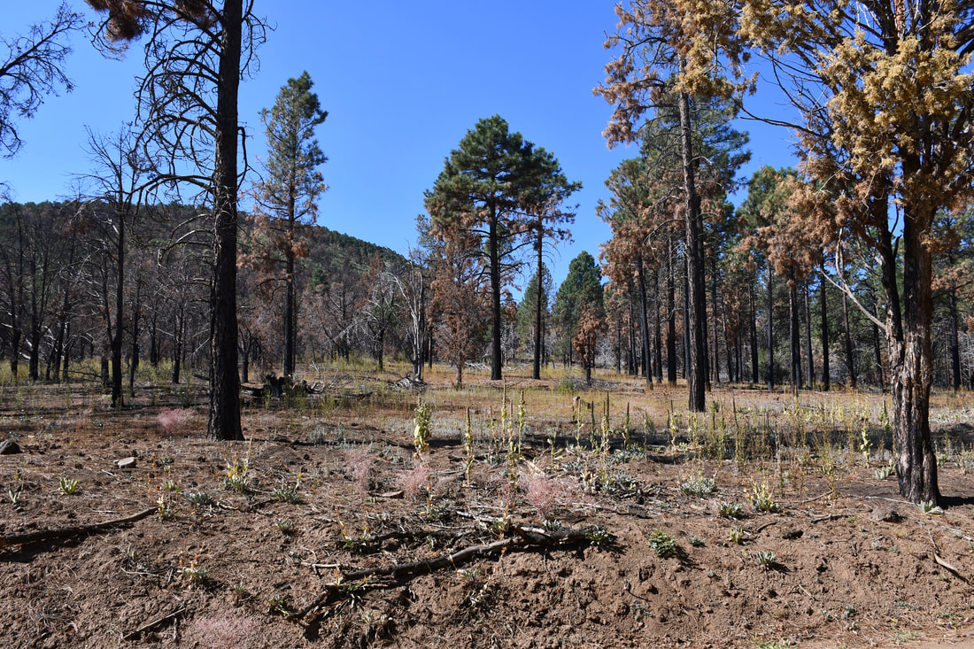
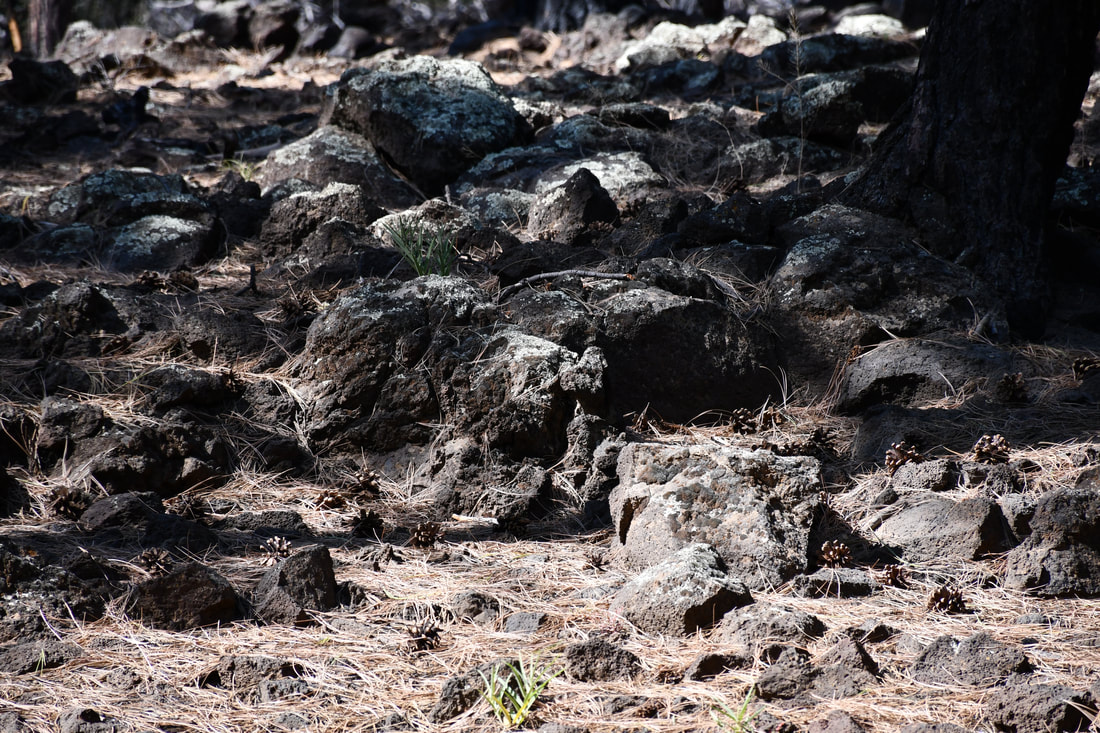
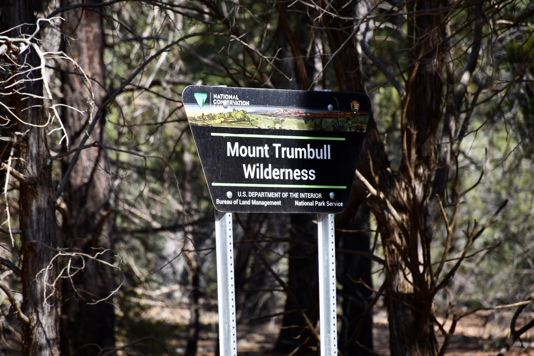
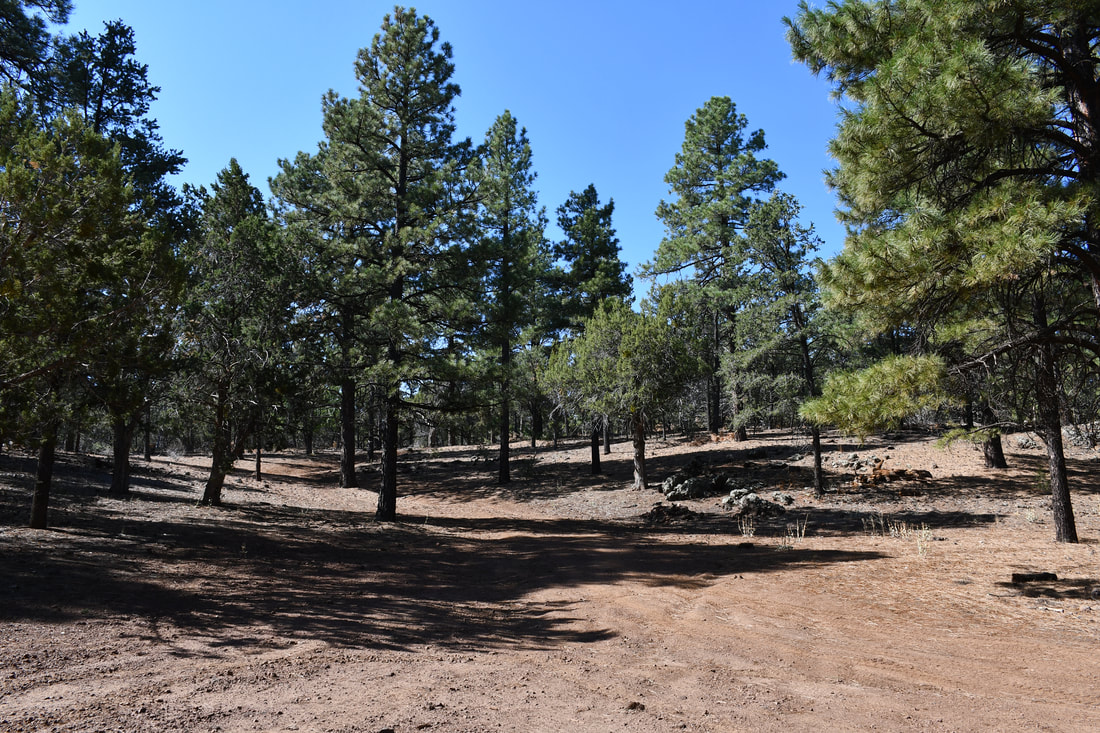
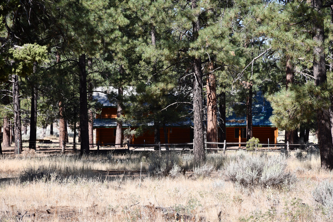
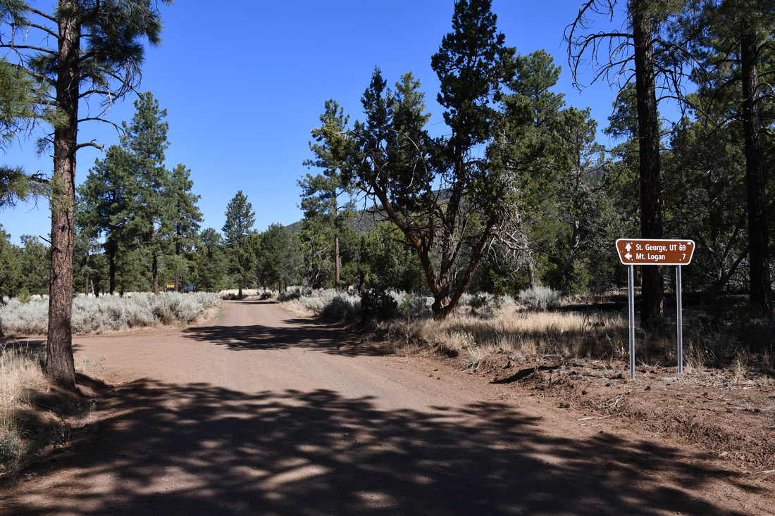
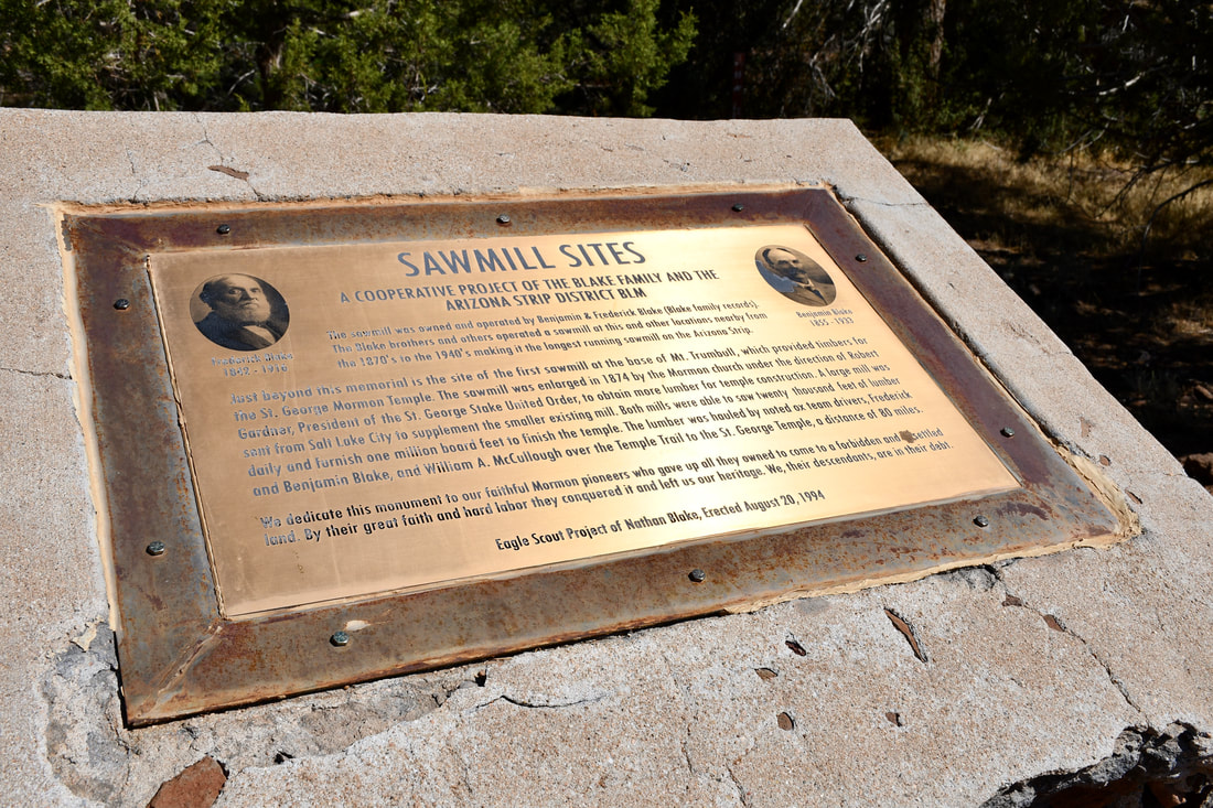
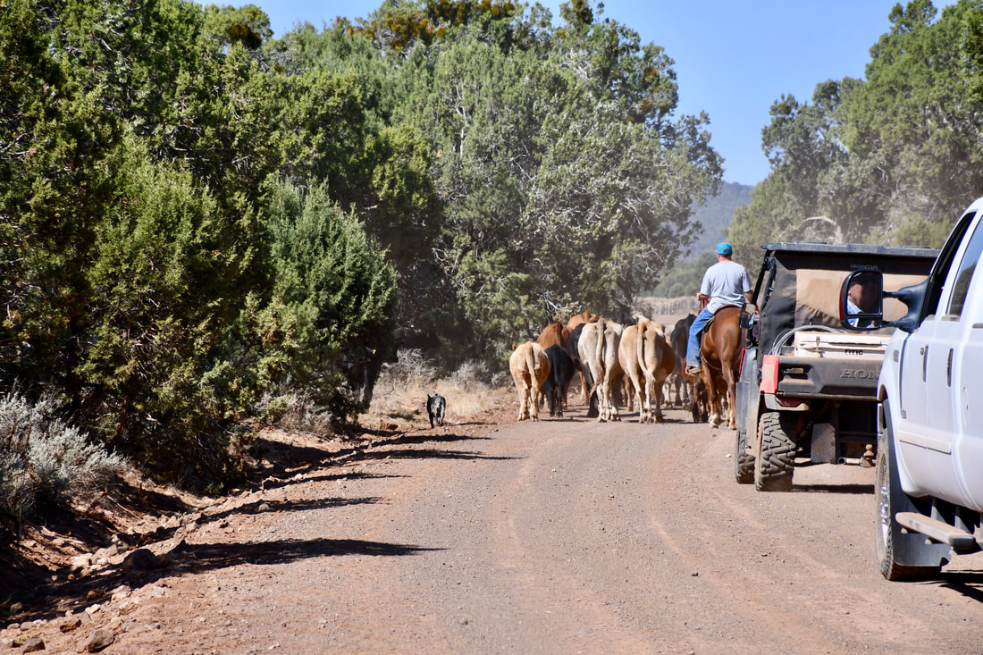
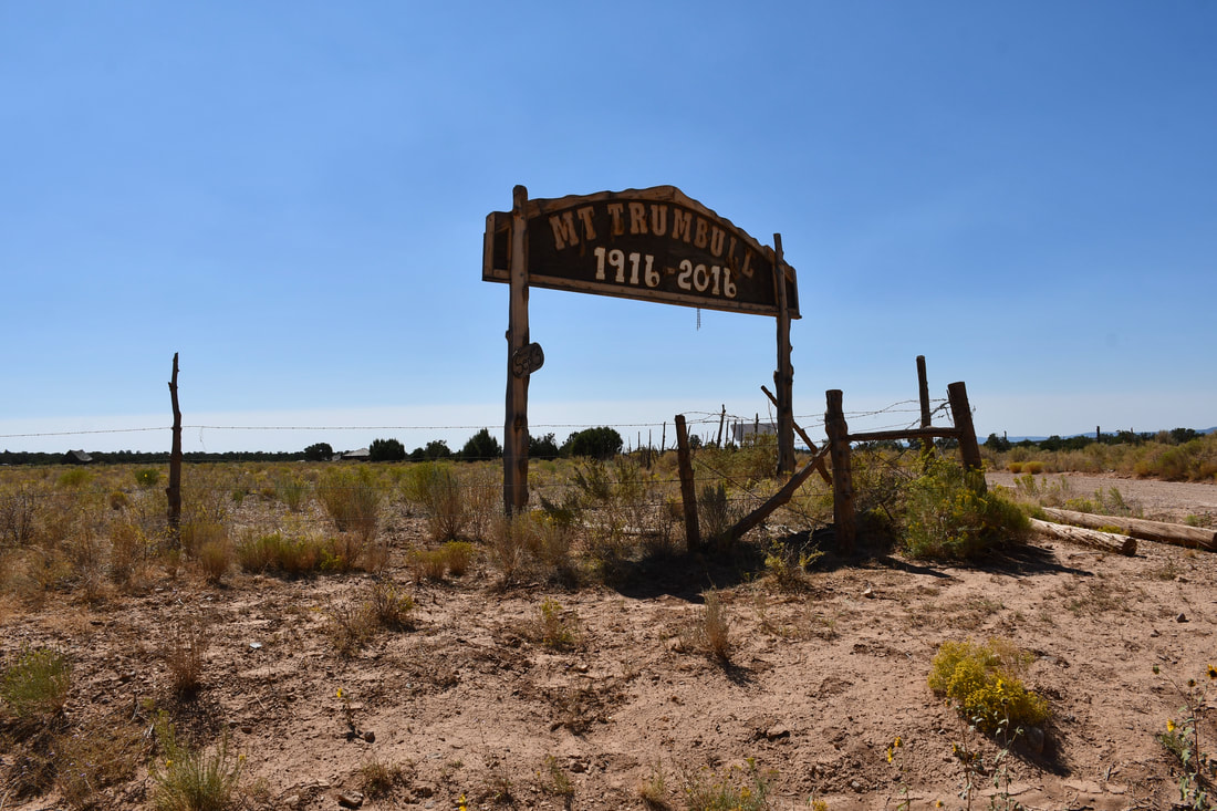
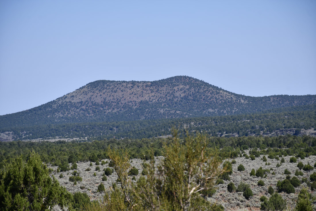
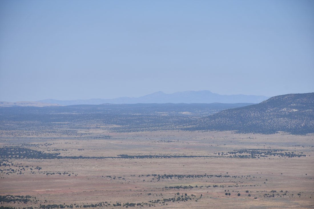
00:17 Mt Trumbull Wilderness 11:17 Mt Trumbull To St George 21:36 Fin The easiest way to get to the Mt Trumbull Wilderness is to follow Antelope Road for about 40 miles south from Highway 389 all the way to the border of the Grand Canyon Parashant National Monument. The border is well marked with directional signage at the intersection and Antelope Road continues onward about 20 miles to the Grand Canyon National Park Toroweap Cliffs, which is the main attraction in this area. The other dirt road heads west to Mt Trumbull and the first section into the piñon forest offers plenty of dispersed camping opportunities that were described in a previous Grand Canyon Parashant article. This blurb details the dirt road conditions on Antelope Road, which amount to a grueling ride over 40 miles of non-stop washboard ripples that are the size of parking lot speed bumps. For this reason, camping just inside the border of the Grand Parashant upon arrival is recommended, so the nerves are settled before heading into the majestic Mt Trumbull Wilderness. The dirt road to the Mt Trumbull Wilderness actually is fairly smooth, but a 4x4 high ground clearance vehicle is recommended, because all it takes is recent rainstorm to change the dirt road conditions dramatically. There are a few bumpy side road options to experience along the way, which include the dirt road to the Nampaweap Petroglyph Trailhead. From the start, the road to Mt Trumbull rapidly climbs to higher elevations and the landscape changes from juniper and piñon to thick Ponderosa Pine forests, which are amazing to see after being in the desolate desert sagebrush environment. Shortly after entering the towering pine forest, the remote Mt Trumbull Ranger Station will come into view with a small developed campground across the road. This little campground is the perfect spot for setting up a basecamp for the many adventures awaiting in this vast wilderness area. The Nampaweap Petroglyphs are the main attraction in the Mt Trumbull Wilderness, but there is plenty more to see and do. The high elevation Uinkaret Plateau actually is a very active volcanic field and evidence of ancient volcanic activity can be seen all around. The most recent eruptions occurred less than a thousand years ago, so many of the lava flows and cinder cones look as fresh as if they were created yesterday. Lava bomb projectiles and crumbled basalt blocks can be seen strewn everywhere in the pine forest and the views from the high ground will reveal even more. There is a hiking trail that goes to the top of Mt Trumbull, which actually is a basalt capped dome that rises over 8,000 feet above sea level. Several ancient eruptions in the Uinkaret volcanic field caused lava to flow south into the Colorado River to create natural dam obstructions, so this is indeed an interesting place for those who are interested geological wonders and earth science. A tour of the Mt Trumbull Wilderness will certainly be a fascinating experience, so the long bumpy ride getting there will be well worth the effort. Fuel management is critical in this desolate region, so topping off the tank at Pipe Springs before starting this venture is highly recommended. There is an alternate route for the return trip that goes through the old historic town of Mt Trumbull and a few dozen miles of ranch country all the way to St George, Utah, which will be featured in an upcoming article. This lengthy exit route ends near a couple of Utah State Parks and Zion National Park, so the adventures simply do not have to end here. The Mt Trumbull Wilderness definitely needs to chalked high on the Grand Canyon Parashant to-do list, so be sure to stock up the expedition vehicle for an adventure like no other!
0 Comments
Your comment will be posted after it is approved.
Leave a Reply. |
Leave no trace!
New!
Destination West YouTube channel! https://www.youtube.com/@DestinationWestOrg *The Destination West website upgrading project is well underway. Unique YouTube slideshows are replacing the outdated Flickr photo galleries. The new videos feature modern graphics and alternative music instrumentals that enhance the viewing experience. Some articles are being condensed, while others are getting much needed edits. As everybody knows, the bulk of the original articles and photos were published on the fly during the Covid camping venture and there were limitations. Upgrading is the way to go and more articles will receive a makeover each week until this project is completed. After that, I will be able to gather new material. There is light at the end of the tunnel!
JD Lane Archives
July 2024
Donations help the Destinaton West project continue into the future!
Go Fund Me! This website uses marketing and tracking technologies. Opting out of this will opt you out of all cookies, except for those needed to run the website. Note that some products may not work as well without tracking cookies. Opt Out of Cookies |
