|
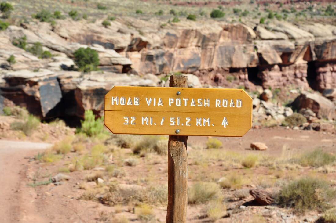
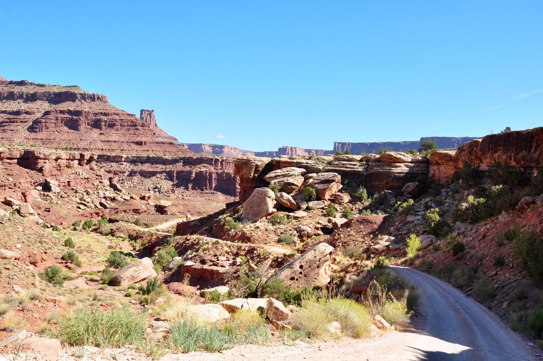
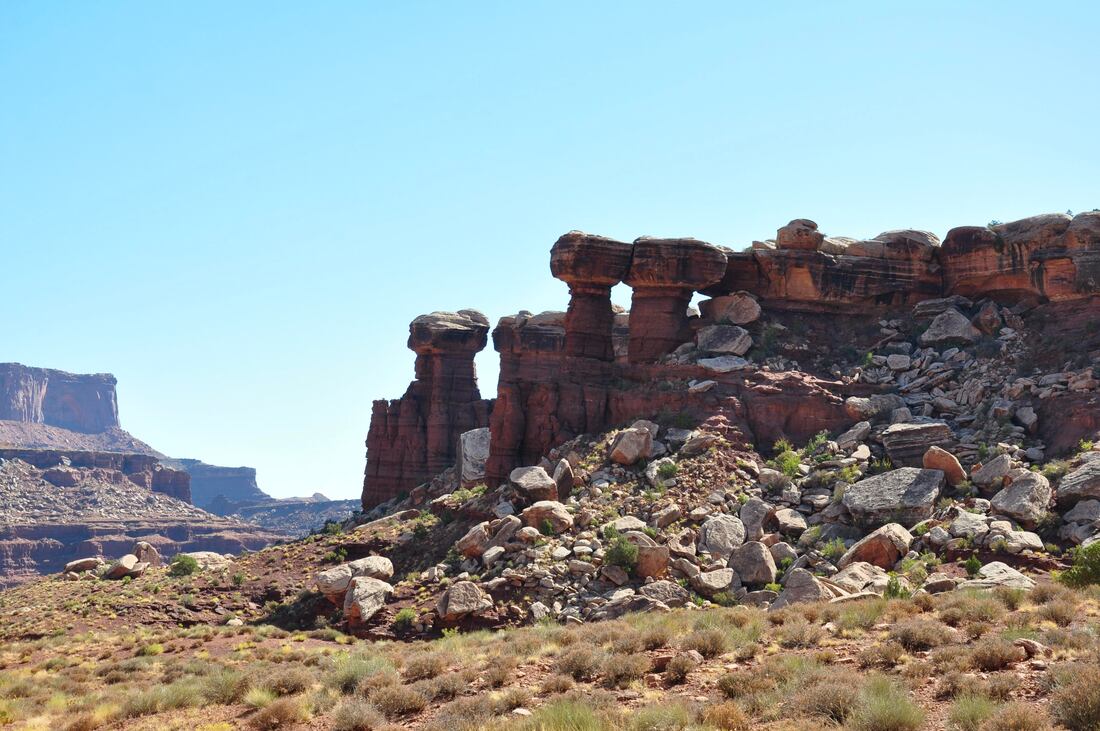
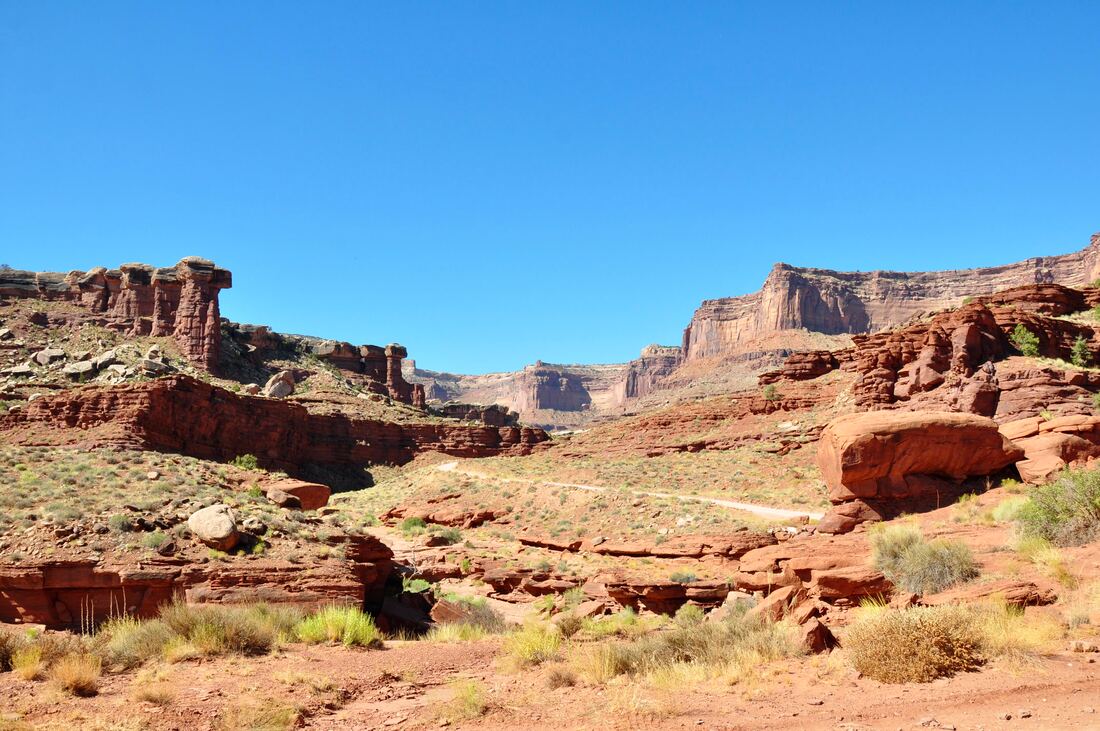
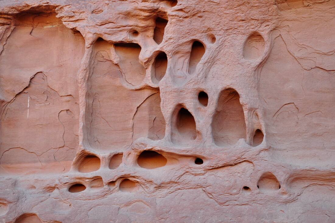
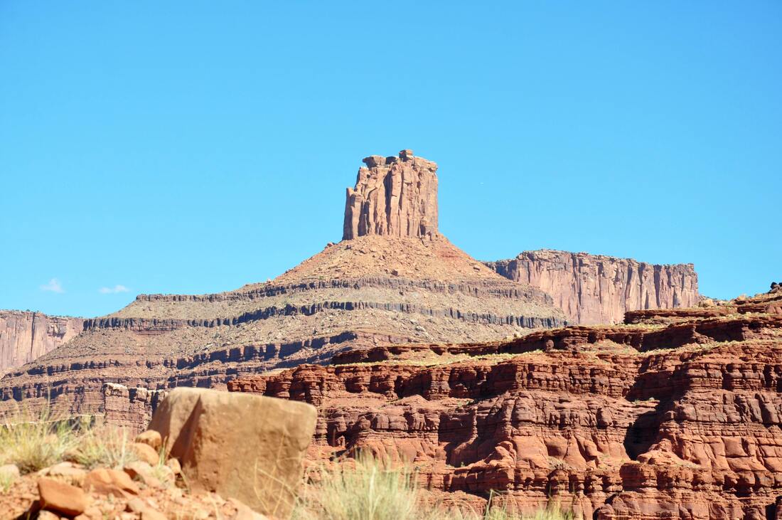
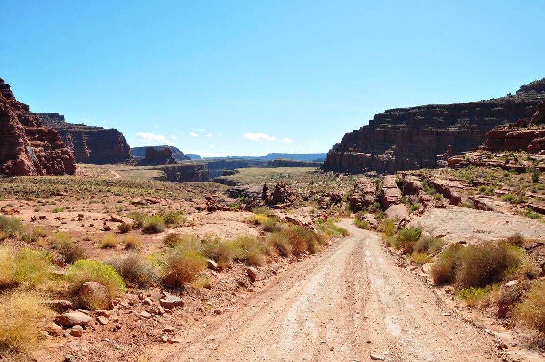
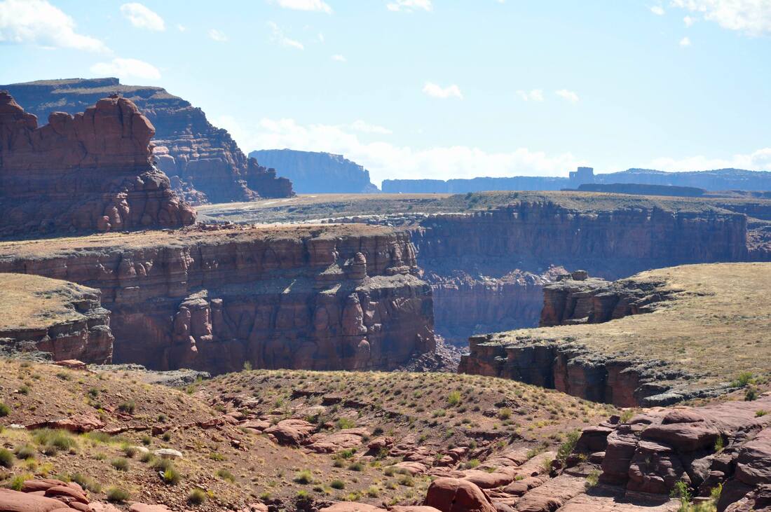
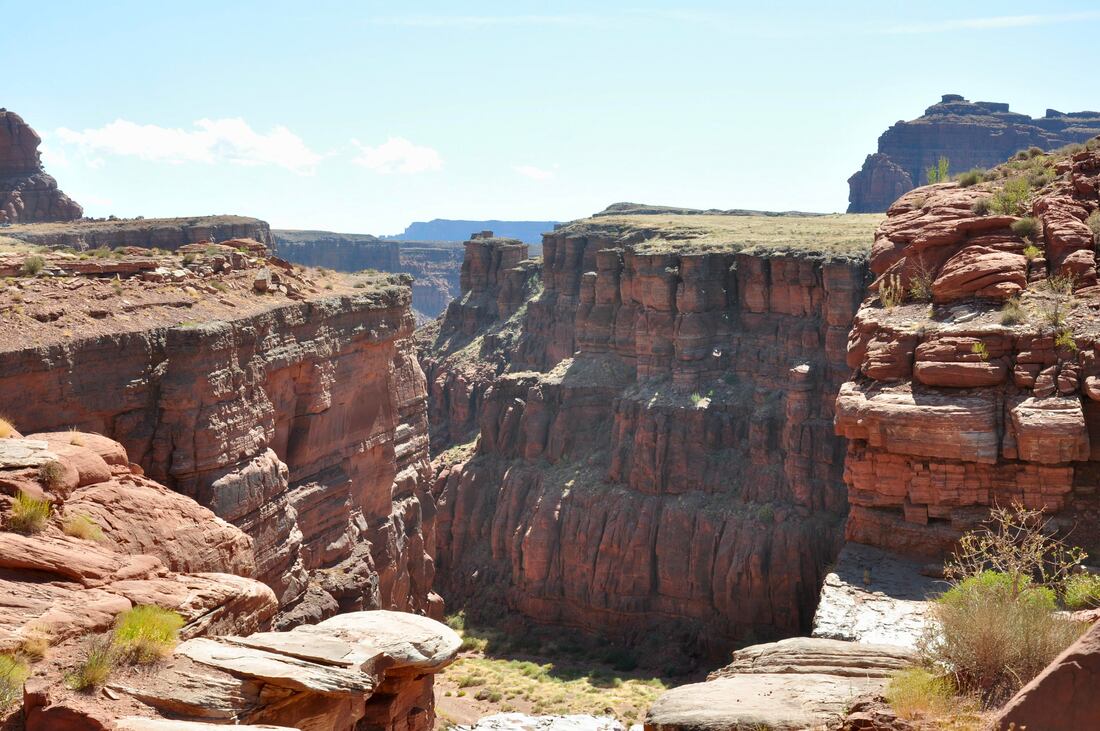
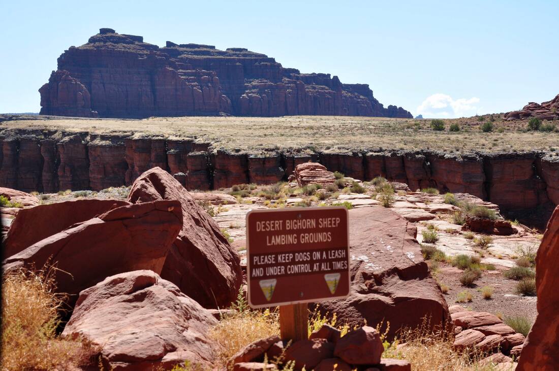
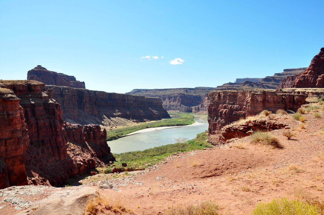
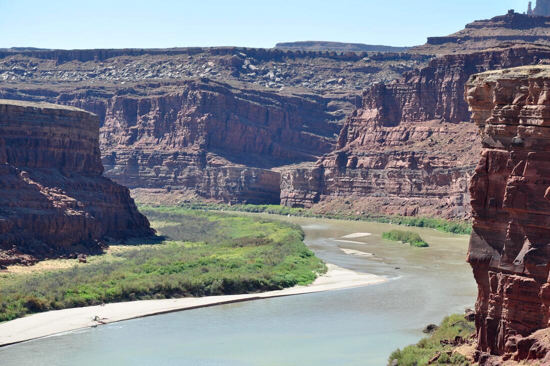
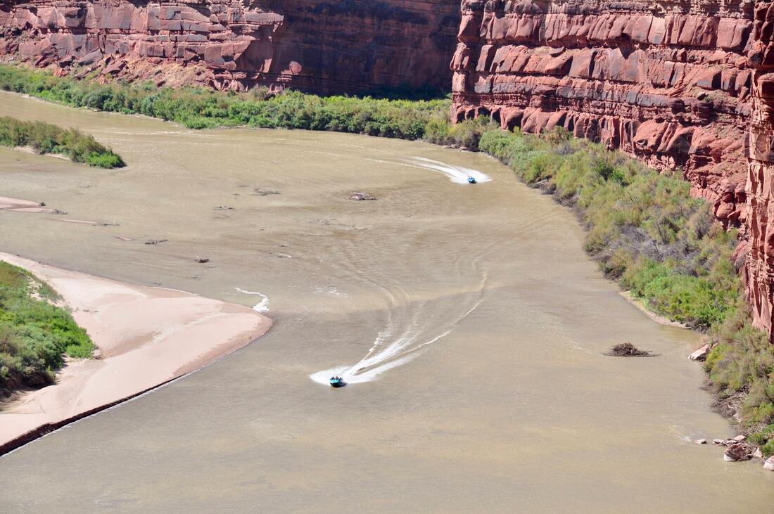
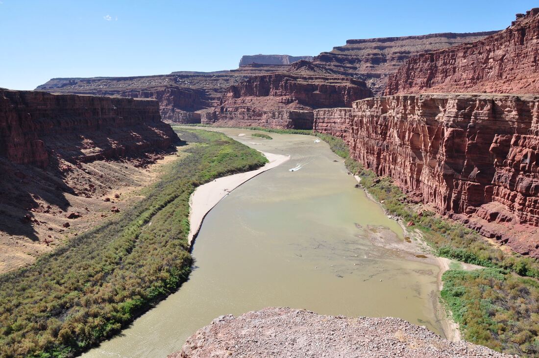
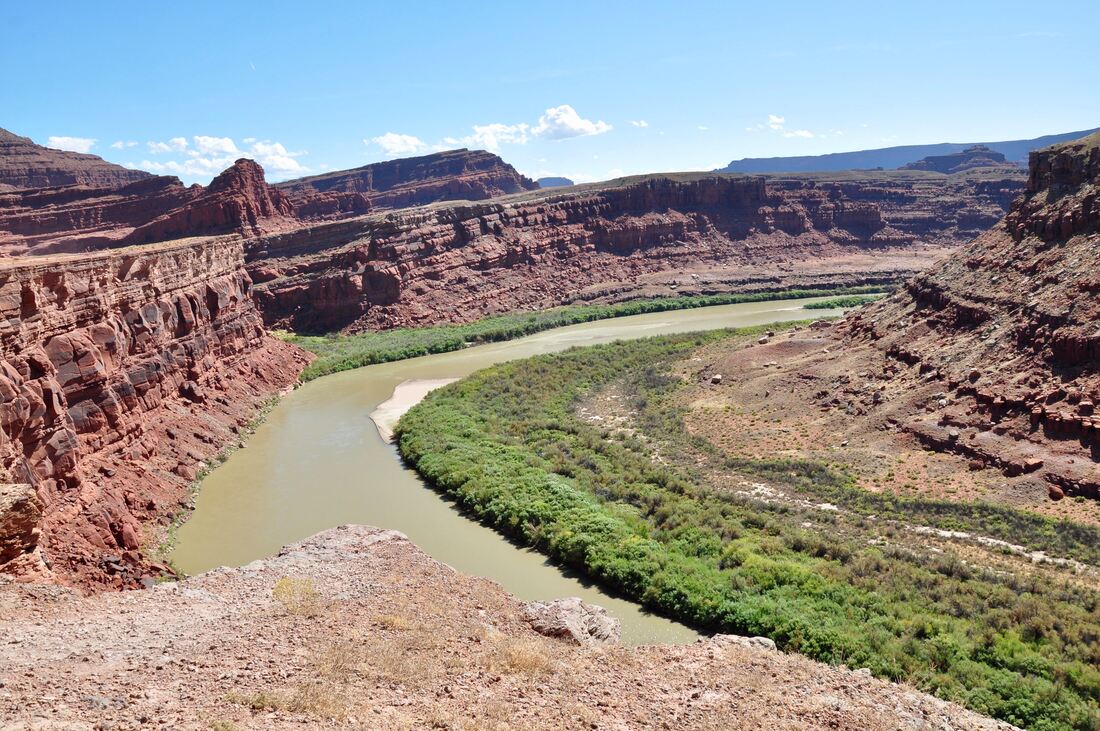
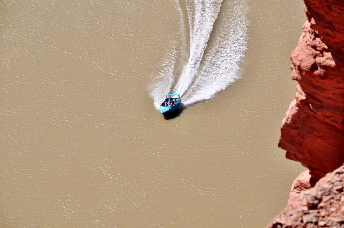
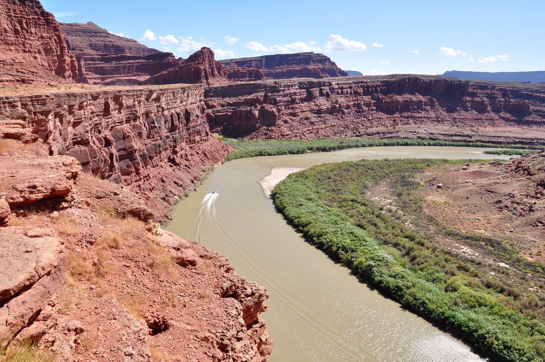
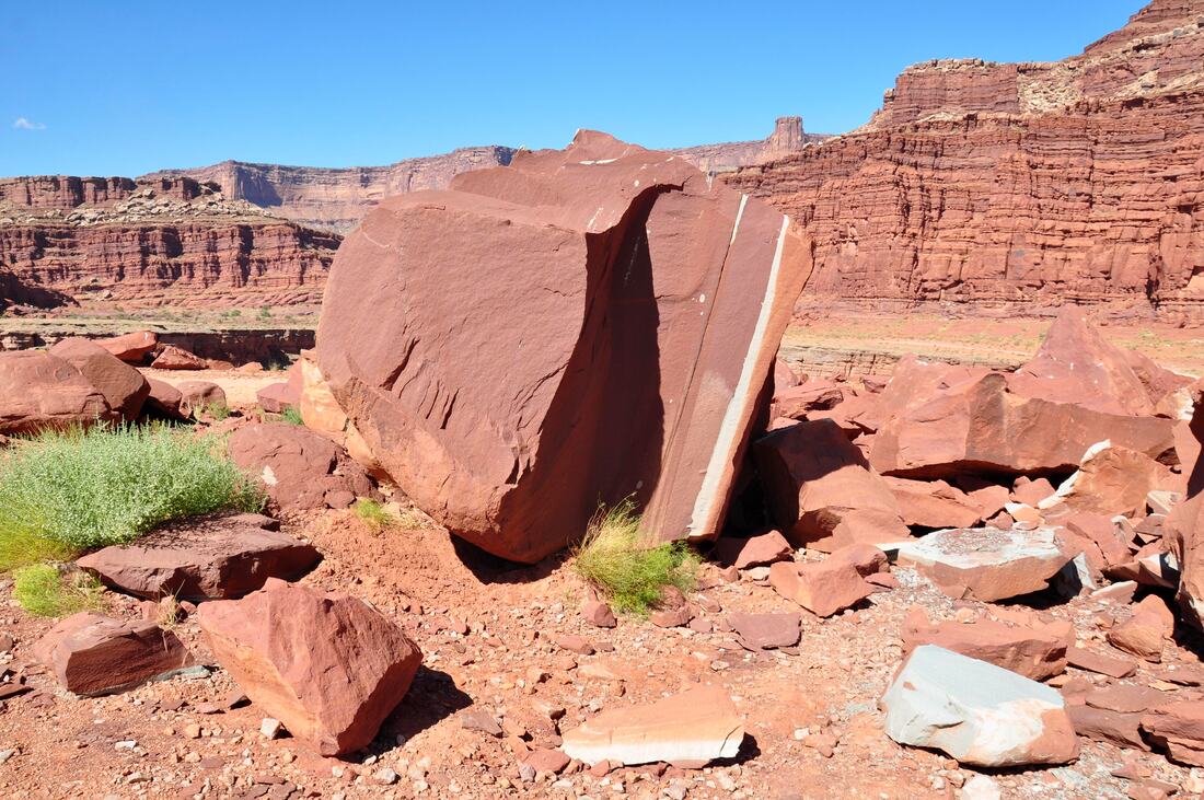
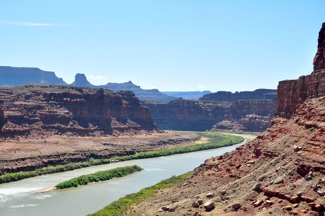
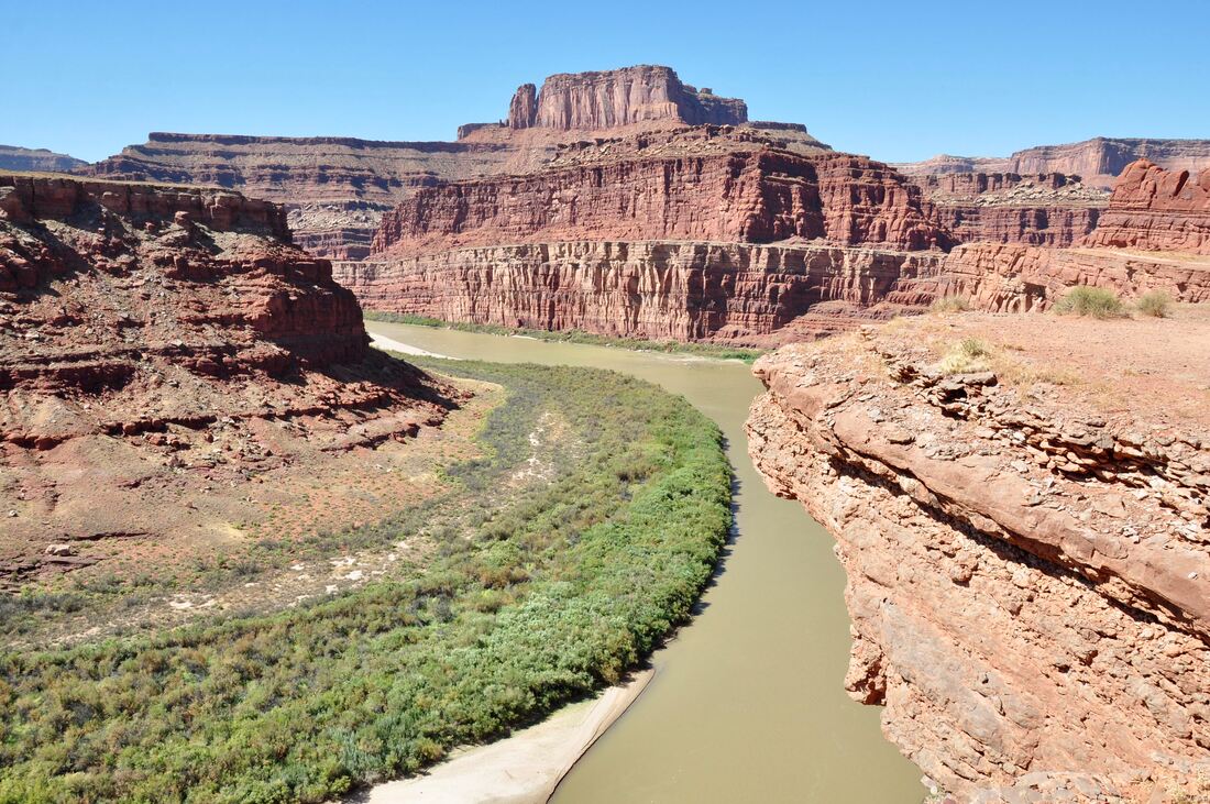
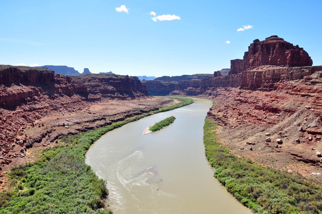
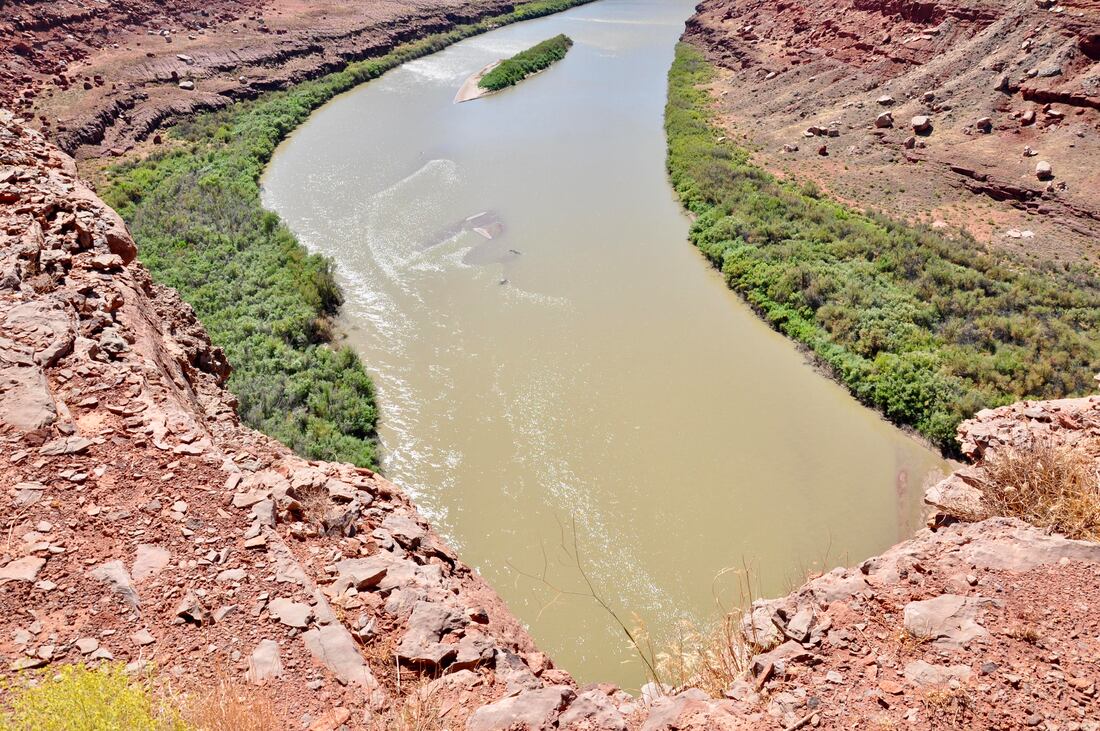
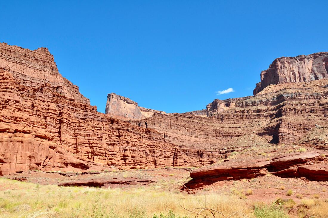
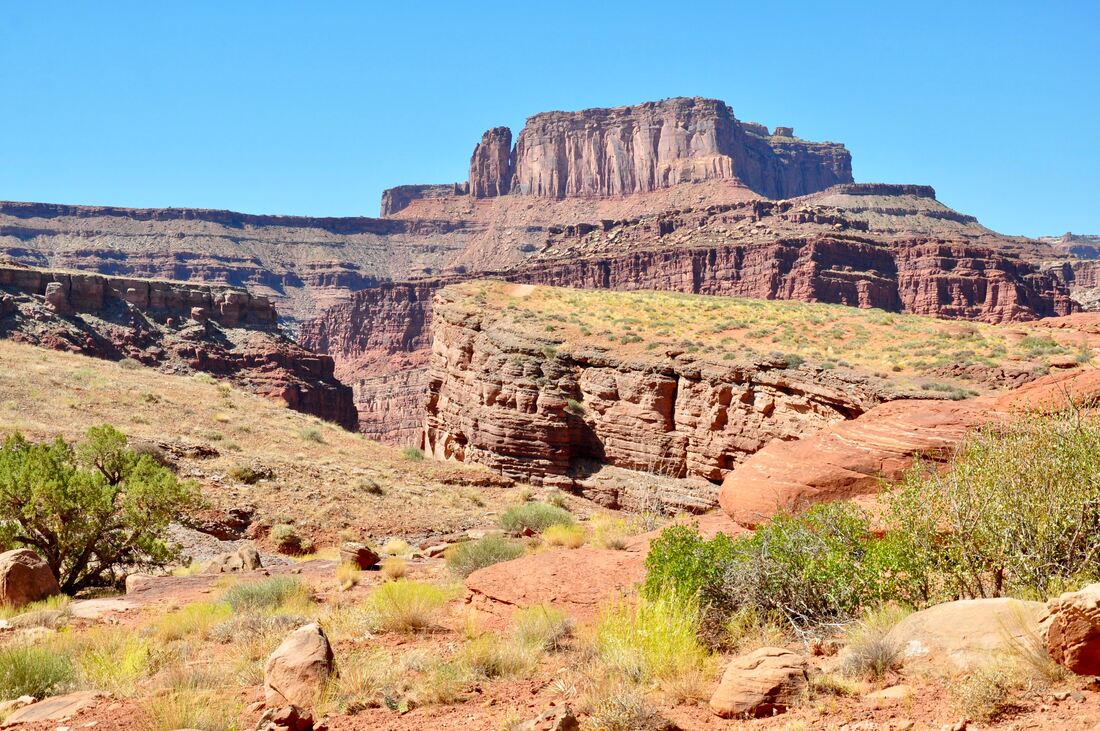
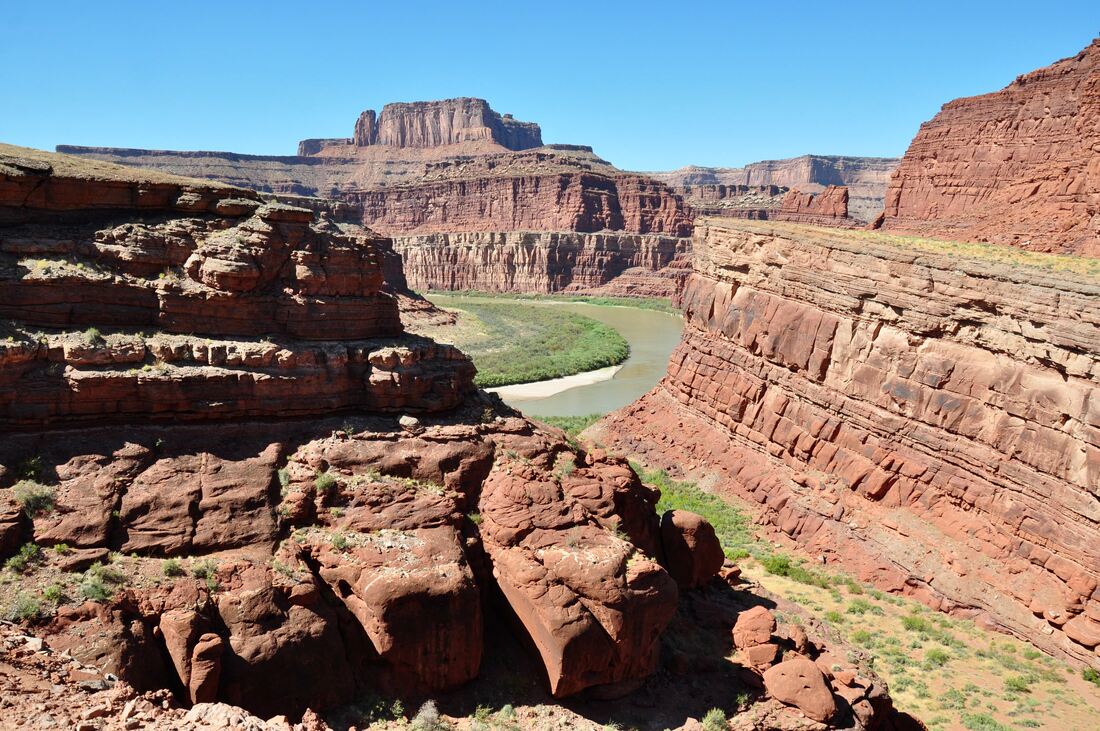
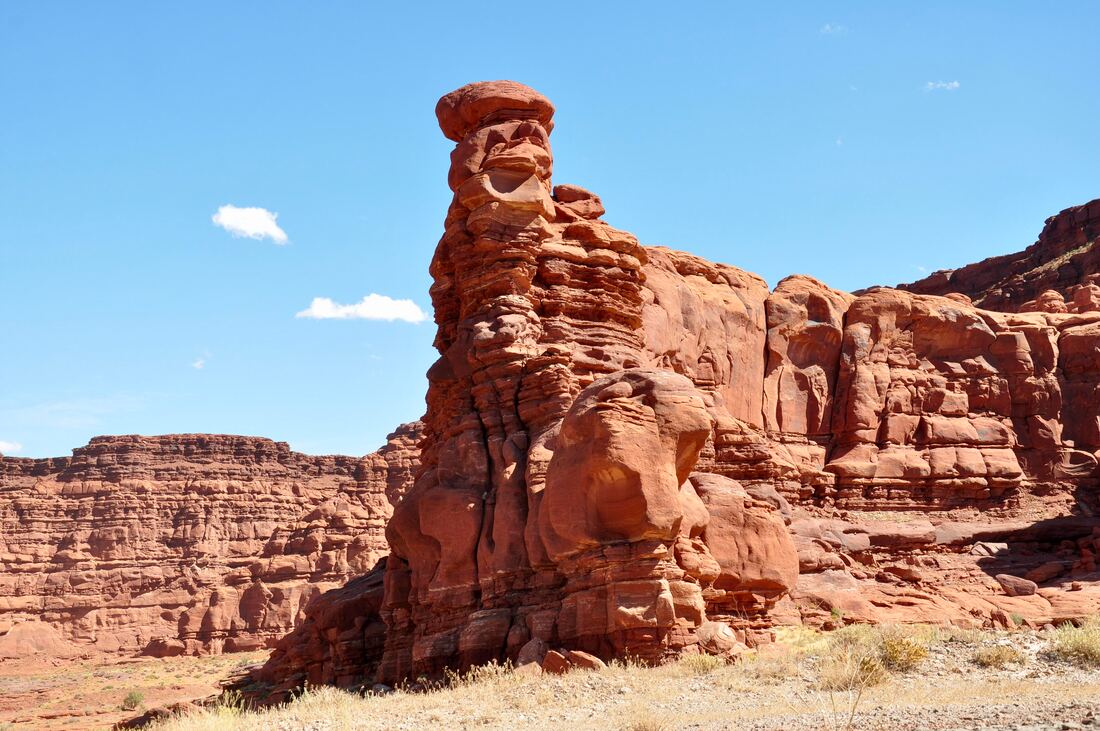
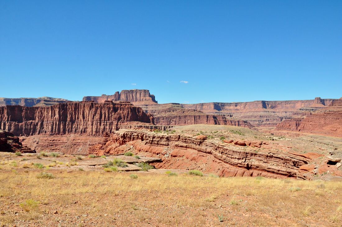
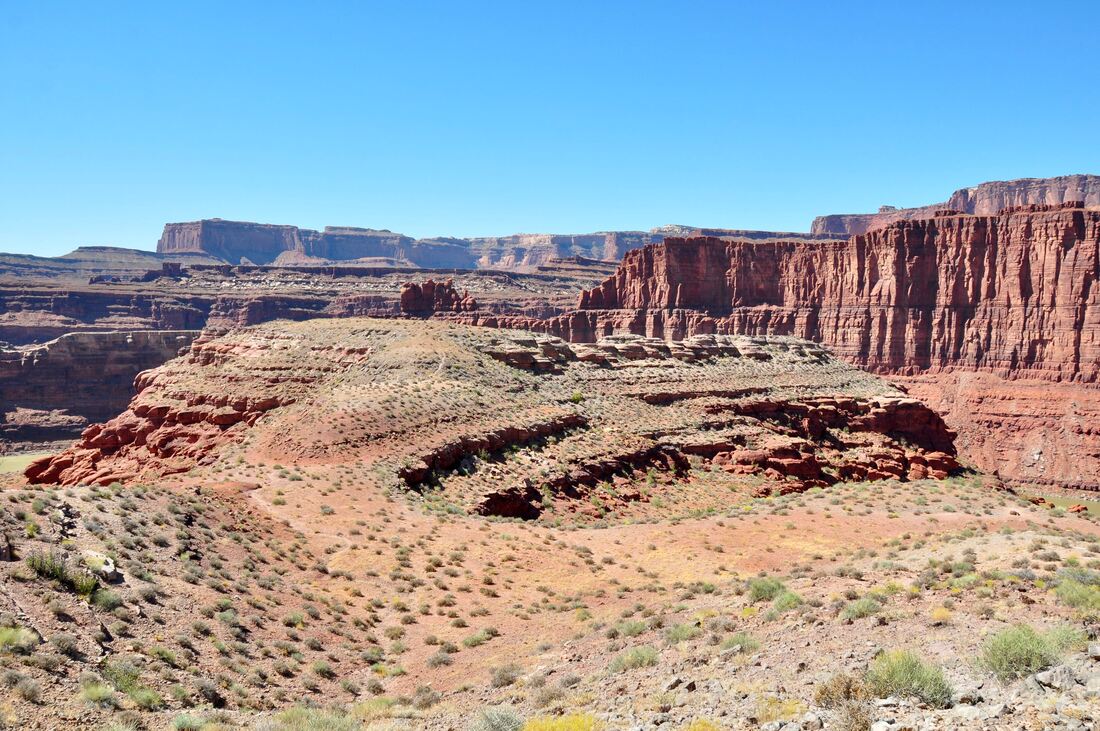
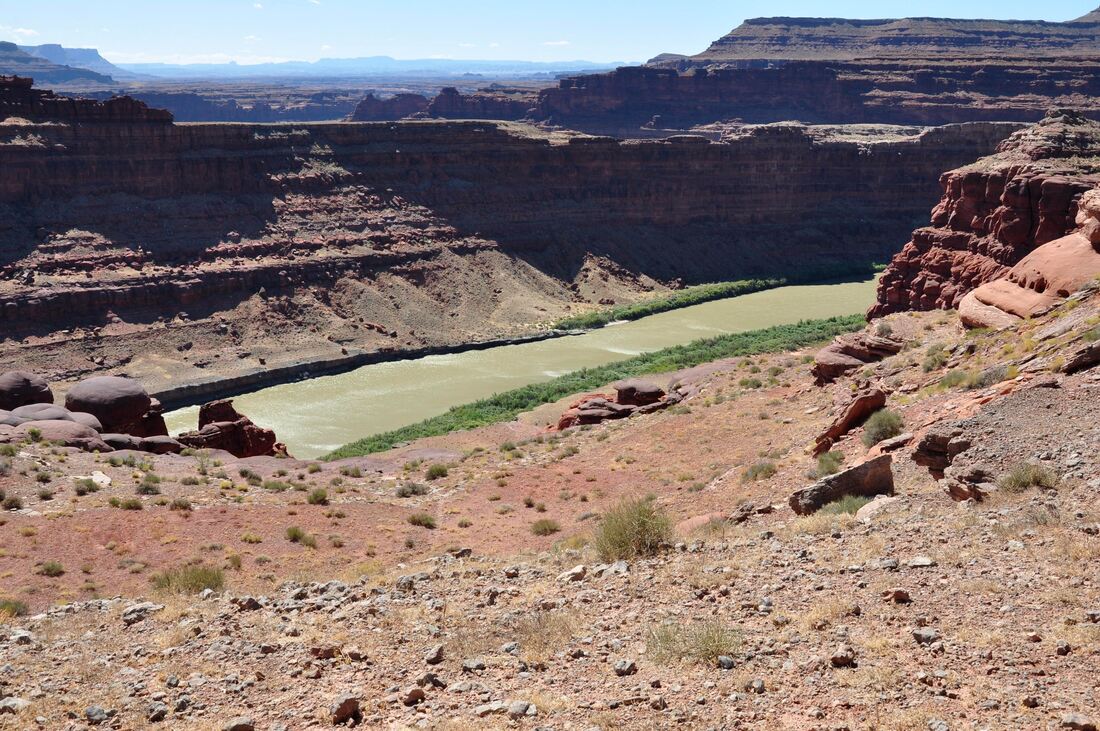
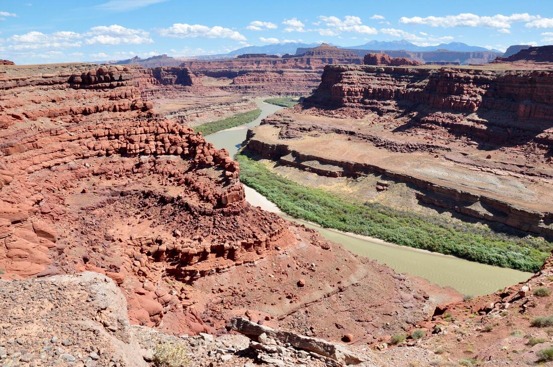
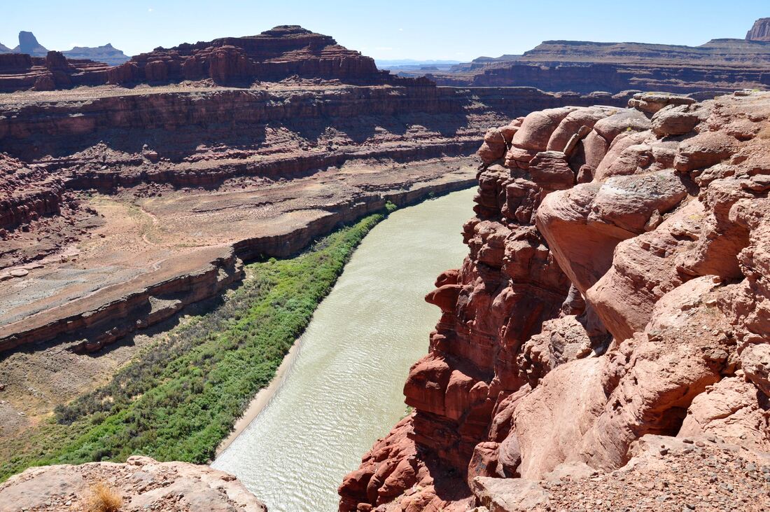
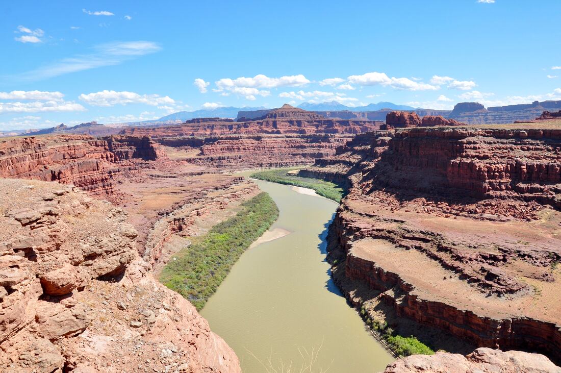
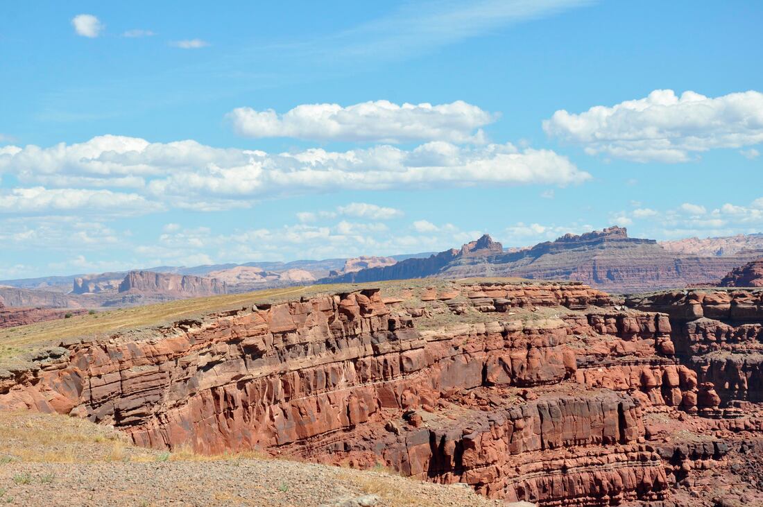
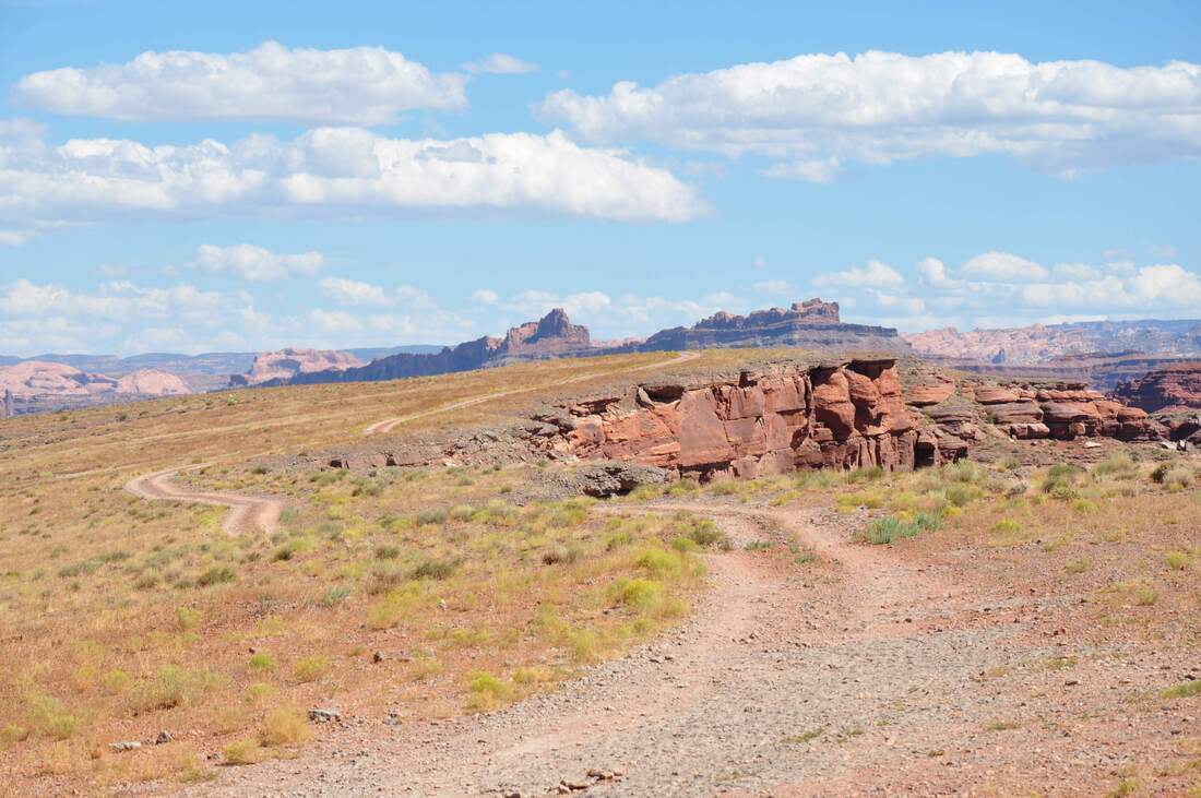
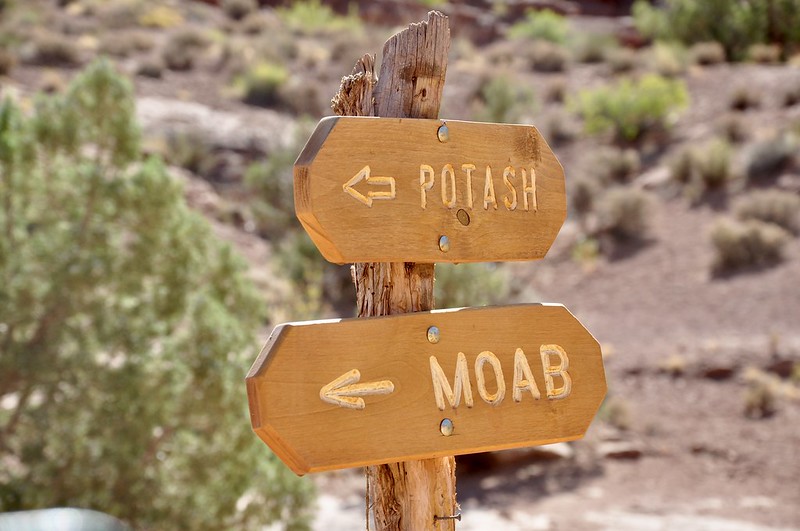
The Colorado Gooseneck Overlook is located on Potash Road just a few miles away from the Shafer Trail starting point and this is just one of several points of interest to be found on the way to Moab. Potash Road is a 32 mile back country touring route that parallels the Island In The Sky mesa and the Colorado River all the way back to town. A previous article describes how to get to the Potash Road intersection on the Shafer Trail, which is the starting point for the Colorado River Gooseneck venture. Going from the Island In The Sky to Moab is the best direction to proceed, because it is much easier on the vehicle to go downhill on the infamous Shafer Trail switchbacks. A 4x4 high ground clearance vehicle is the best choice, because a regular passenger car will take a real beating on this rough dirt road. Shortly after getting started on Potash Road, the trail winds its way downhill through some of the most rugged red rock landscape that can possibly be imagined. Gigantic toadstool hoodoos guard the rim of the high ground and boulders the sized of trucks that have rolled down the steep mesa slopes can be seen everywhere. There are eroded ravines that are several stories deep and towering buttes fill the horizon. The start of Potash Road certainly is a memorable experience, so be sure to take your time because the majestic views are practically endless! When approaching the landmark called Dead Horse Point way up above on the Island In The Sky, the dirt road becomes much smoother and this is where the Colorado River Gooseneck can be found. Views of the river will appear along the way when gazing through the deep eroded gorges, then the grassy top of the lower bluffs will come into view. There are several side trails in this grassy area to choose from and each one goes to a scenic overlook way above the mighty Colorado River, which is wide and navigable in this region. Standing on the edge of the towering cliff high above the Colorado River is a scary experience at first, but after the senses adjust the views are so captivating that it will be difficult to break away! The Colorado River literally does a u-turn in this area, which is how the Gooseneck moniker comes into play. The cliff ledge is several hundred feet high, so any thought of doing a swan dive into the river on a hot day should be vanquished from the start. The boats going by actually look like tiny toys and the views of the lush green Colorado River basin are nothing less than amazing! As mentioned earlier, the top of the river bluffs along Potash Road is a grassy area, which means that this is a premium spot for viewing Bighorn Sheep. When the lambs are in tow during late spring and early summer, a grassy area near a water source is where the ewes prefer to go. There is signage at the Colorado Gooseneck Overlook that states this is a protected lambing area, so if the little ones are around, be sure to maintain some extra viewing distance so they do not panic. If you stay still and act peaceful, the chances are good that the Bighorn herd will come to you, because they are naturally curious creatures that realize that they have a big advantage in this rough terrain. Another couple of Potash Road destination articles are soon to follow and the rest of the trip to Moab is just as interesting as the start. The total length from the Island In The Sky to town is 45 miles, so a Potash Road tour is guaranteed to be a full day of adventure. Be sure to bring a good camera along for the ride to share the memories back home, especially during the lambing season when the little Bighorn call this place home!
0 Comments
Your comment will be posted after it is approved.
Leave a Reply. |
Leave no trace!
New!
Destination West YouTube channel! https://www.youtube.com/@DestinationWestOrg *The Destination West website upgrading project is well underway. Unique YouTube slideshows are replacing the outdated Flickr photo galleries. The new videos feature modern graphics and alternative music instrumentals that enhance the viewing experience. Some articles are being condensed, while others are getting much needed edits. As everybody knows, the bulk of the original articles and photos were published on the fly during the Covid camping venture and there were limitations. Upgrading is the way to go and more articles will receive a makeover each week until this project is completed. After that, I will be able to gather new material. There is light at the end of the tunnel!
JD Lane Archives
July 2024
Donations help the Destinaton West project continue into the future!
Go Fund Me! This website uses marketing and tracking technologies. Opting out of this will opt you out of all cookies, except for those needed to run the website. Note that some products may not work as well without tracking cookies. Opt Out of Cookies |
