|
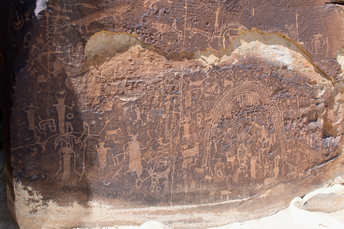
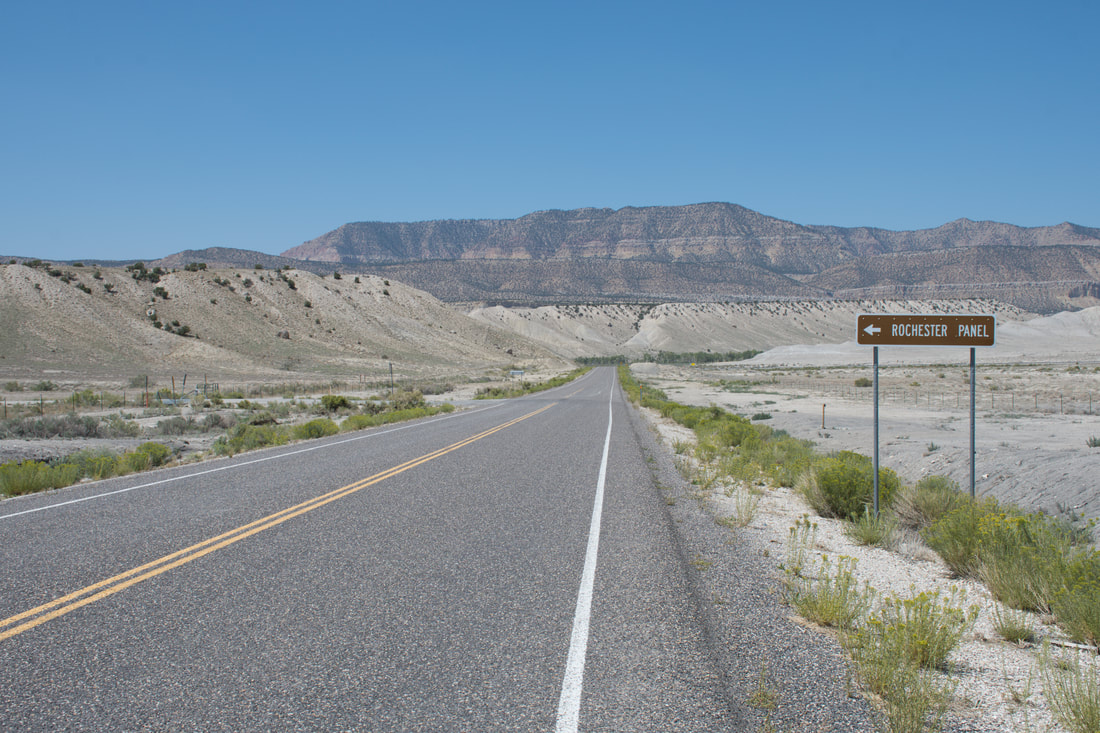
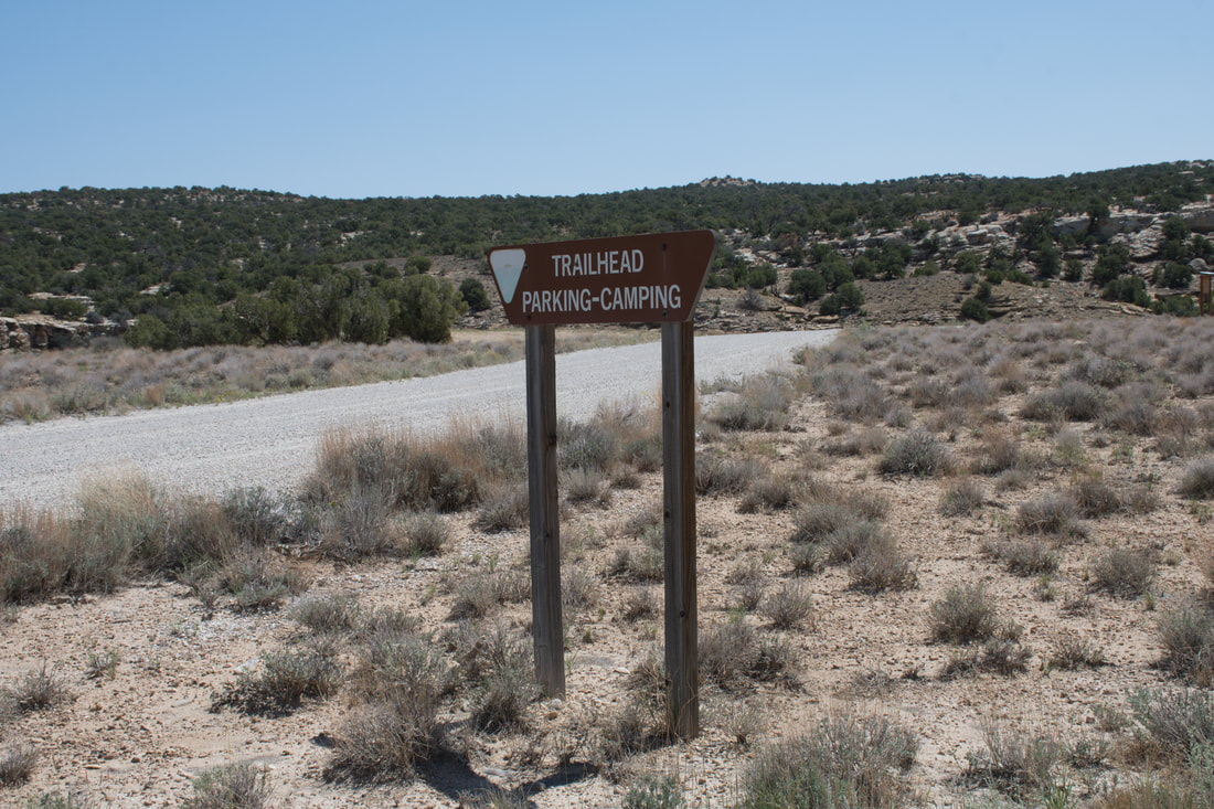
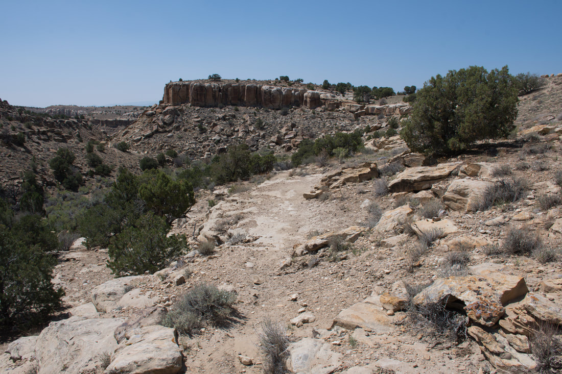
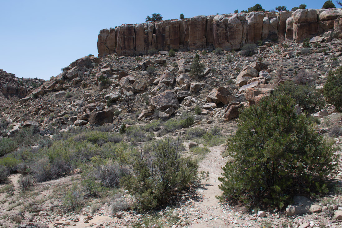
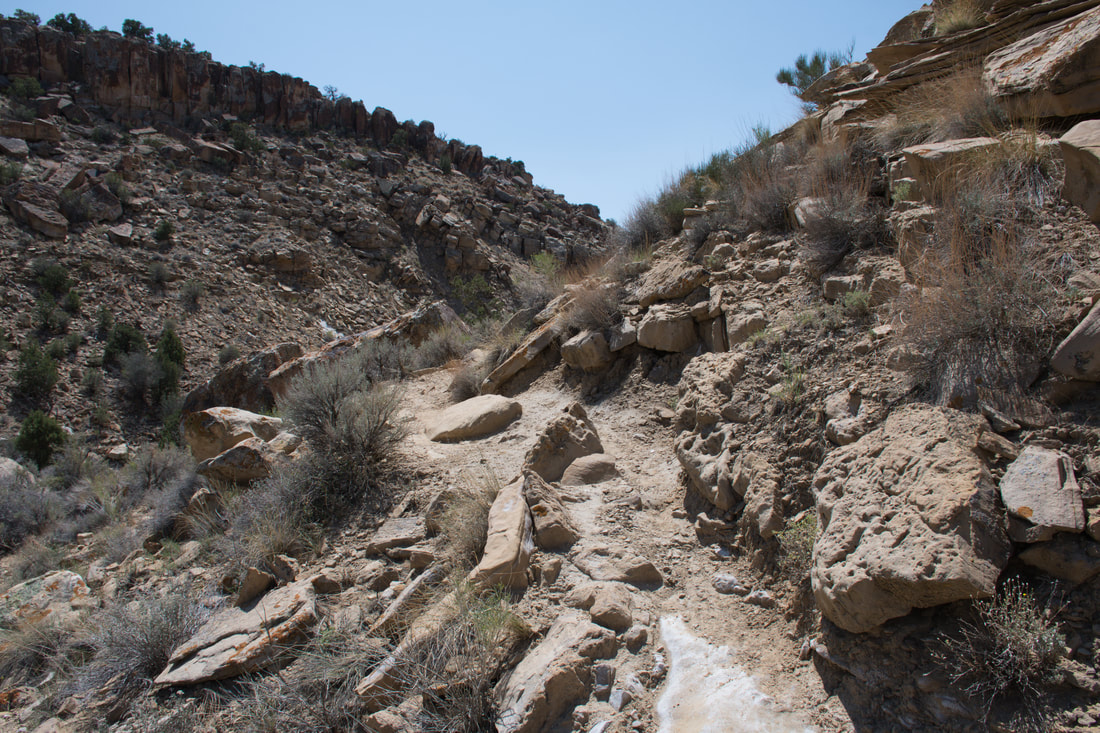
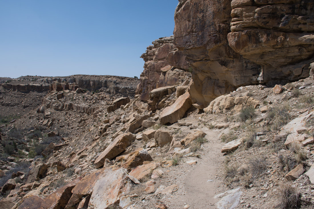
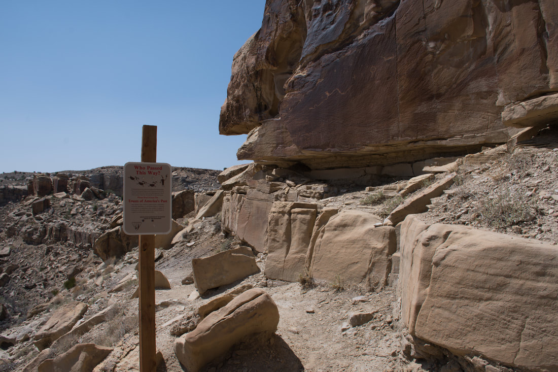
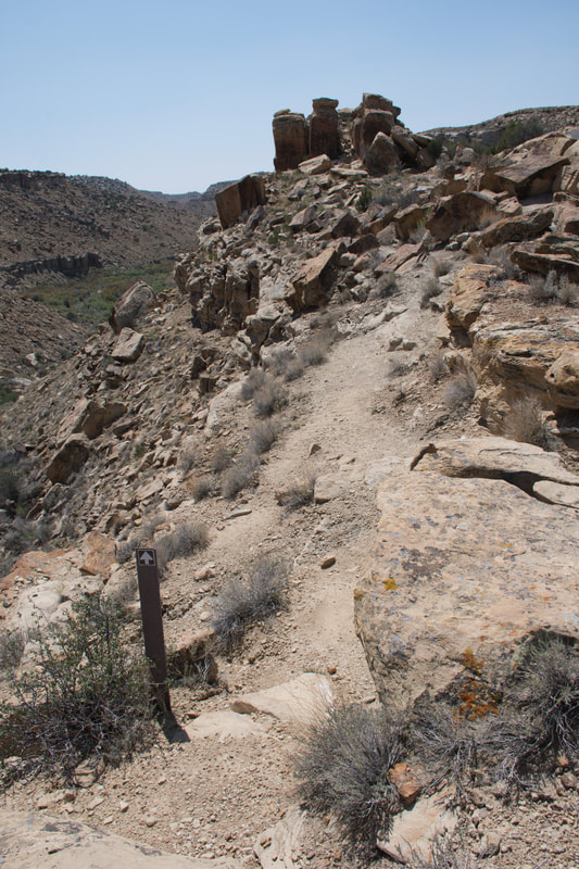
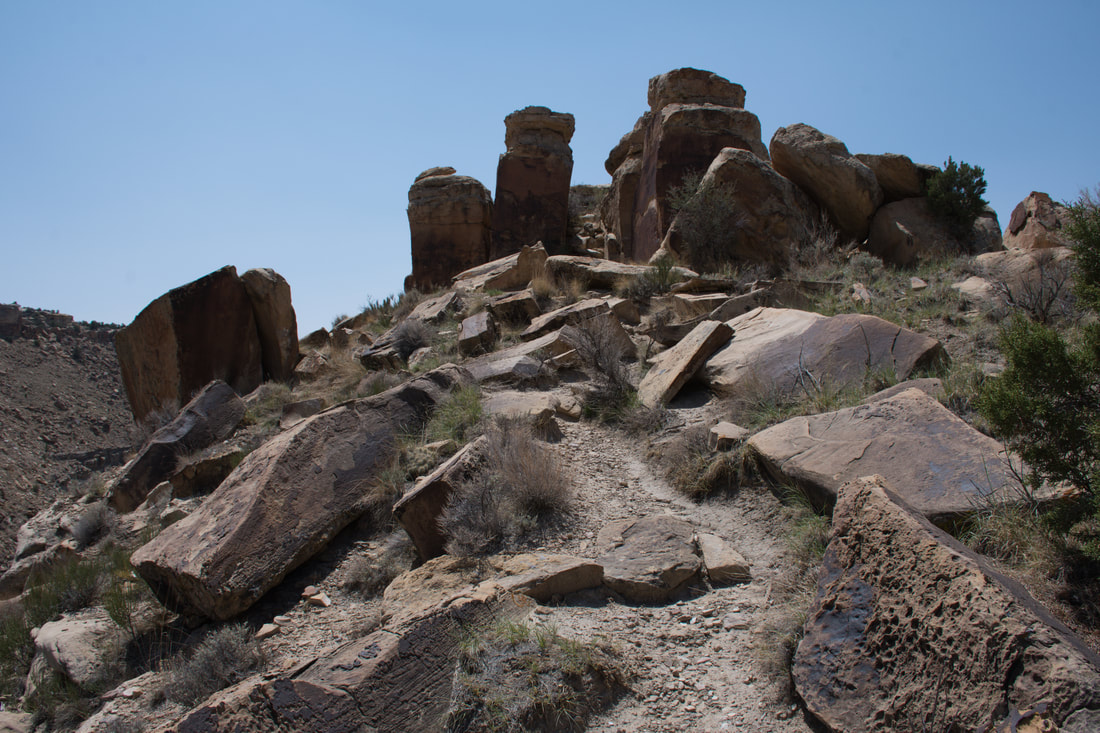
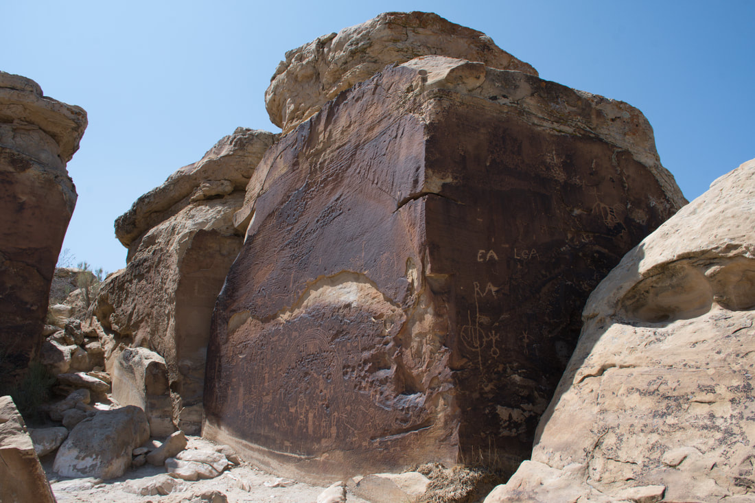
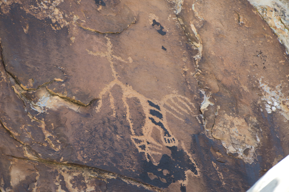
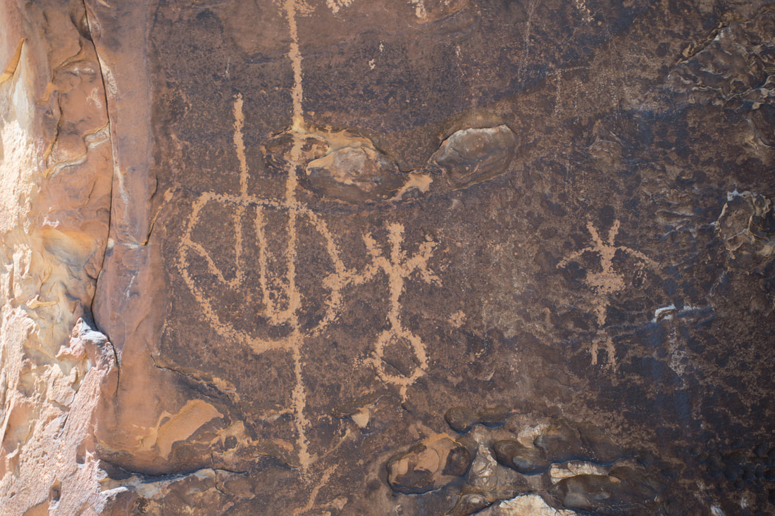
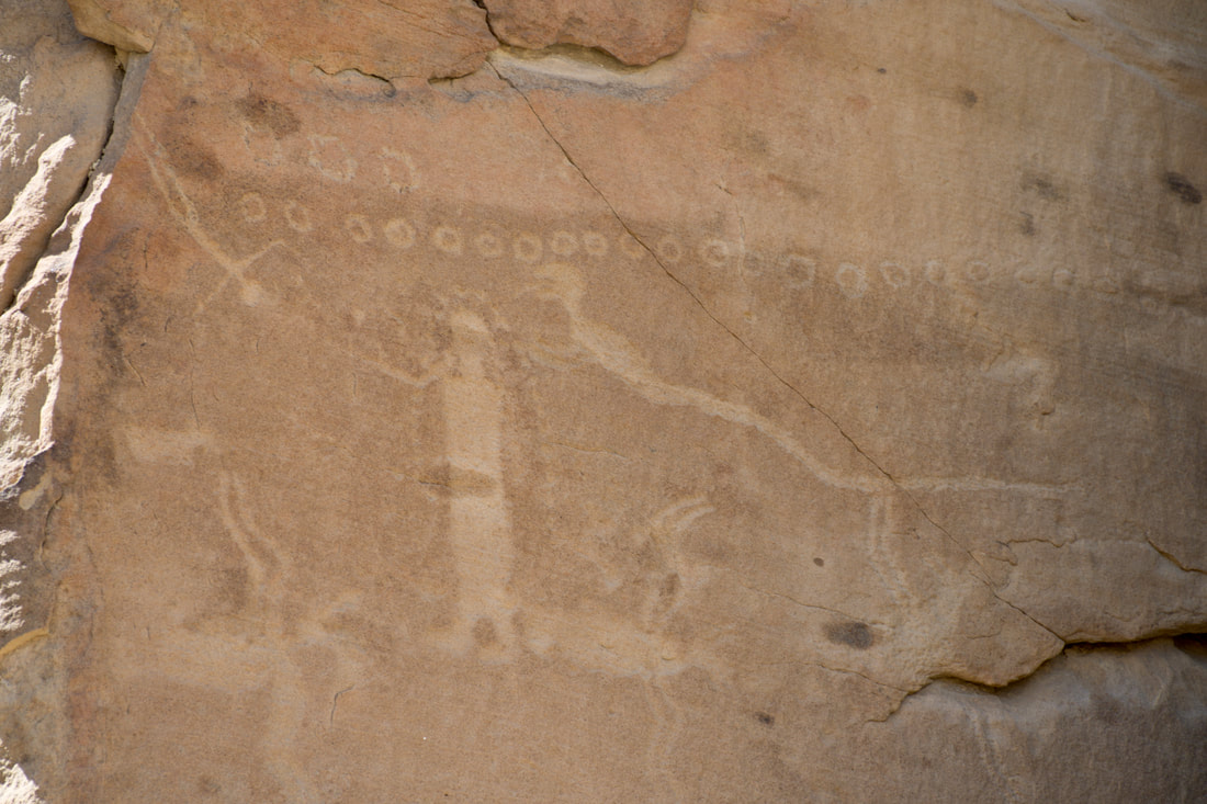
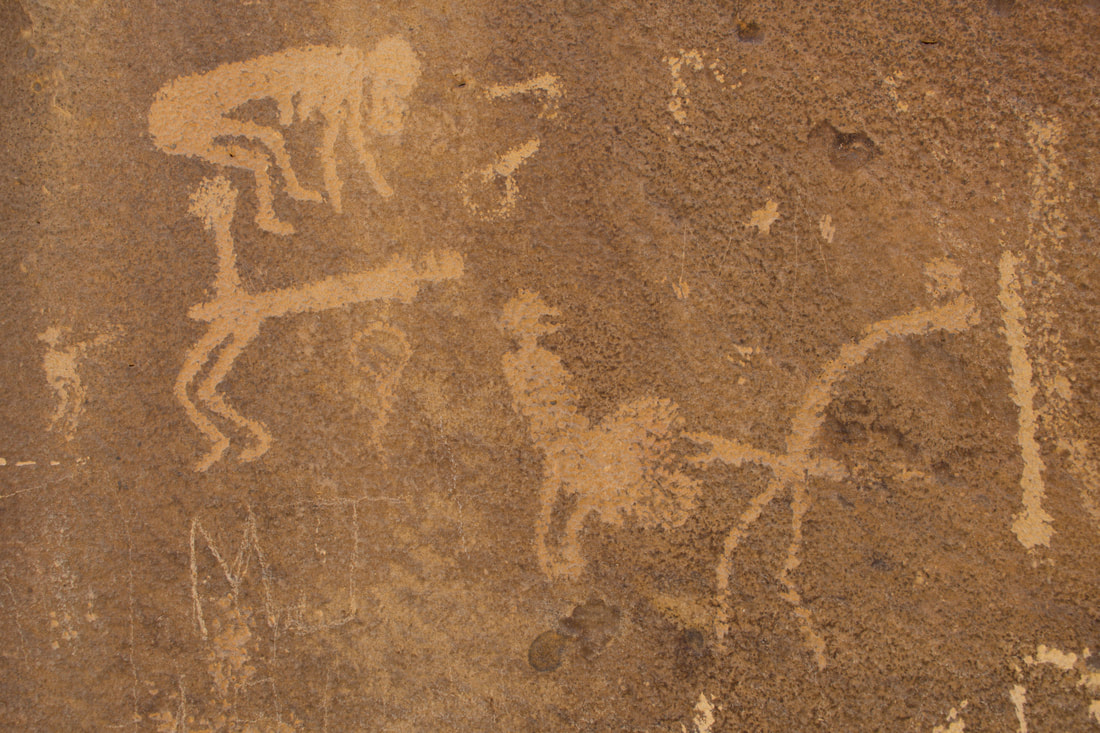
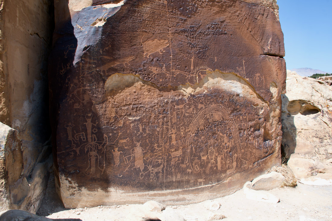
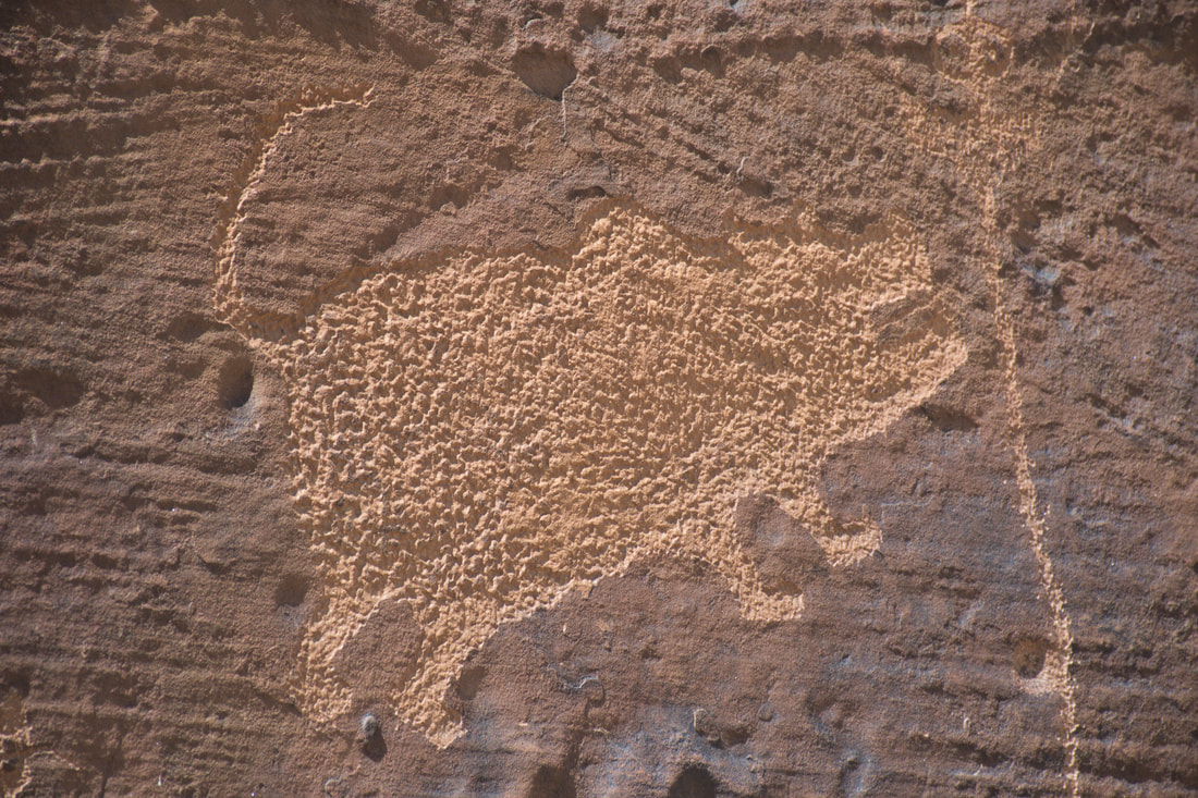
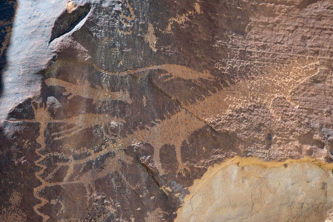
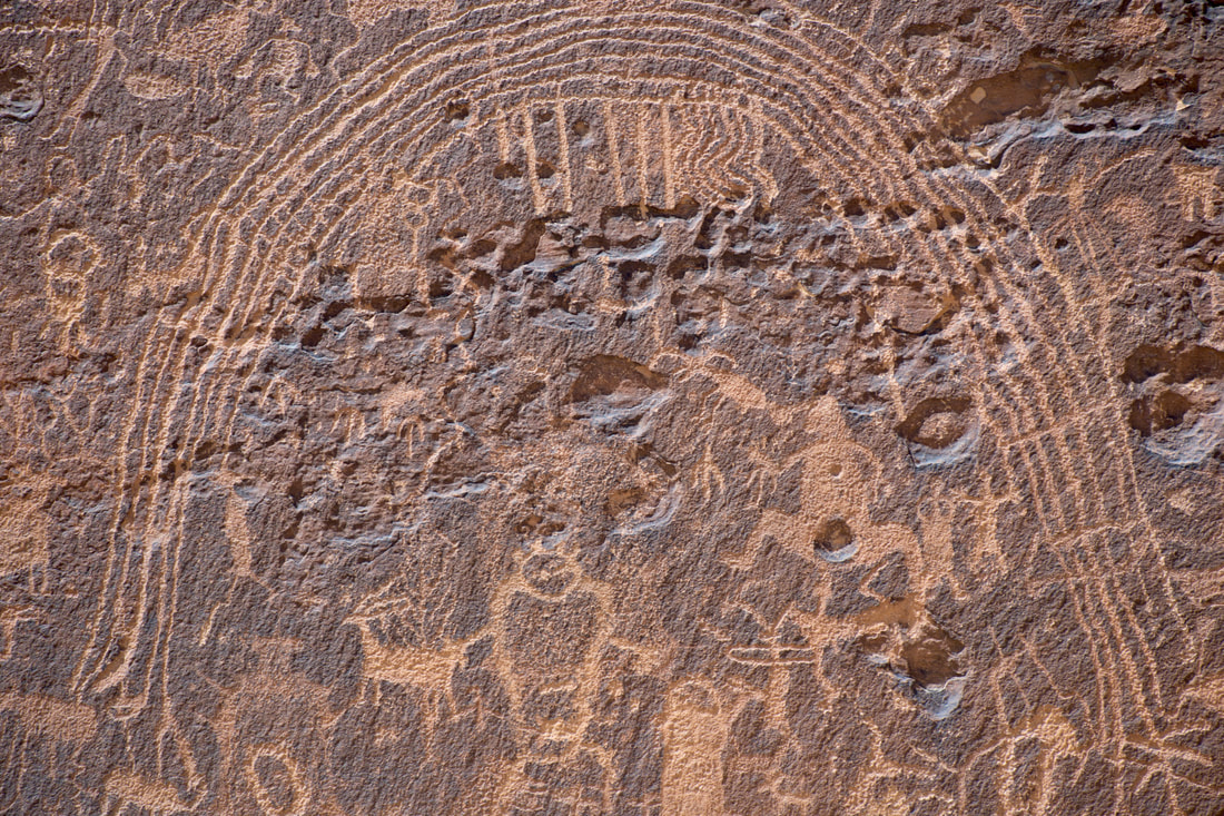
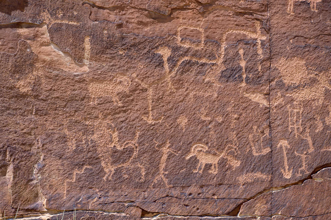
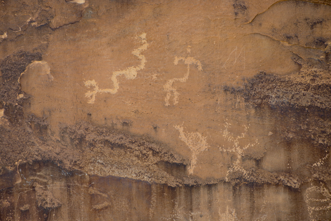
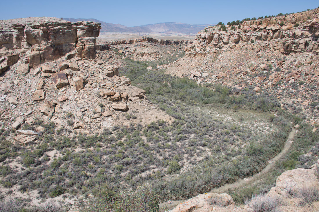
Exploring the lesser known places out west is the means for escaping from the big crowds in the mainstream destinations, like the most famous National Parks. Finding solitude and the deafening silence of the great outdoors is easy to do in the desolate desert regions of the west and often there are unique points of interest to discover that barely appear on a map. Doing a map search for ghost towns, mines, springs or rock art will reveal many interesting things to do even in regions that initially appear to be a big blank spot on the map. The San Rafael Swell region of Utah is one such place that the mainstream tourists tend to overlook, simply because the points of interest are not well known and it takes some careful preparation for an adventure in this place. The western end of the San Rafael Swell is composed of endless miles of inhospitable badlands that are seldom visited, yet there are a few worthwile day trip destinations in this region. The Rochester Rock Art Site is one such place and this destination is fairly easy to find on a map. The travel route getting there does require some dirt road driving, but this was an industrialized region, so the dirt roads are fairly smooth. The Rochester Rock Art Site is managed by the Utah BLM and dispersed camping is an option in this area, while the luxurious Millsite State Park is nearby, so doing an overnighter definitely is an option. Getting to the Rochester Rock Art Site is fairly easy, but getting to the actual rock art panel will be a real struggle for some. The Rochester Rock Art hiking trail. is an out and back that is less than two miles total distance, but the terrain is challenging. The trail starts by following the contour of a bluff, then the path passes over the length of a branching mesa arm to a point high above the dry wash canyons down below. The trail is very narrow and it squeezes through many huge boulders as it runs over the crest of the rock outcrops to the end point, which is where the Rochester Rock Art Site can be found. In fact, a hiker will know that something special awaits up ahead, because several small petroglyphs can be seen along the way. At the end point, the entire Rochester Rock Art Panel will come into view and this truly is a big one! Hundreds of characters await to be be interpreted and the overall theme is genuinely intriguing to ponder over. The meaning of the big arch in the artwork is a mystery lost over eons of time, but many related petroglyph sites exist in this region that may provide more clues. The Fremont native culture is credited with much of the rock art In the San Rafael Swell region, but many experts say the Rochester Rock Art dates much further back. For photographers, the sheer immense size of the Rochester Rock Art Panel does pose a problem, because a viewer can only back up a few feet to fit the entire panel in the picture frame, before falling over the edge of the cliff. For this reason, it is best to pack a wide angle lens for this hike. I used a Nikon D7500 1.5 crop sensor camera with an 18-140mm zoom lens, which at 18mm the field of view is equivalent to about 27mm on a full frame camera. With the viewing distance parameters known, coming home with a photo worth framing will be easier to do. One last item to note is rock art vandalism, which has been plaguing ancient native heritage sites out west in recent years. As a visitor, it is your responsibility to report suspicious activity and vandalism. This can be difficult in remote destination where there is no cel phone signal, but reporting suspicious activity to the BLM rangers or the sheriffs upon return to civilization is easy to do. Photographing the perpetrators and getting vehicle tag numbers will provide enough for a conviction in most cases, so do not be afraid to use the camera for a good cause. Often a reward is offered, which is even more inspiration to do the right thing. The reason this is mentioned is because the Rochester Rock Art Site was recently vandalized with graffiti, which is a real shame for all future visitors of this unique little spot on the map way out in the Utah high desert.
0 Comments
Your comment will be posted after it is approved.
Leave a Reply. |
Leave no trace!
New!
Destination West YouTube channel! https://www.youtube.com/@DestinationWestOrg *The Destination West website upgrading project is well underway. Unique YouTube slideshows are replacing the outdated Flickr photo galleries. The new videos feature modern graphics and alternative music instrumentals that enhance the viewing experience. Some articles are being condensed, while others are getting much needed edits. As everybody knows, the bulk of the original articles and photos were published on the fly during the Covid camping venture and there were limitations. Upgrading is the way to go and more articles will receive a makeover each week until this project is completed. After that, I will be able to gather new material. There is light at the end of the tunnel!
JD Lane Archives
July 2024
Donations help the Destinaton West project continue into the future!
Go Fund Me! This website uses marketing and tracking technologies. Opting out of this will opt you out of all cookies, except for those needed to run the website. Note that some products may not work as well without tracking cookies. Opt Out of Cookies |
