|
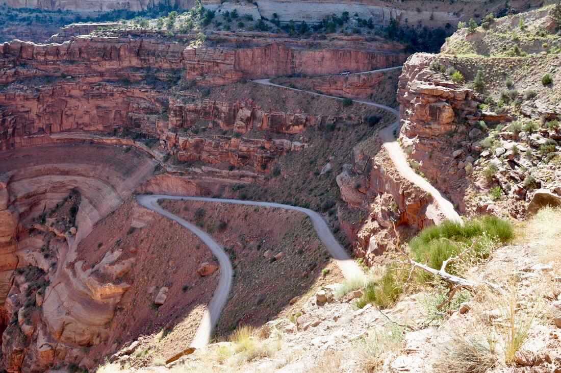
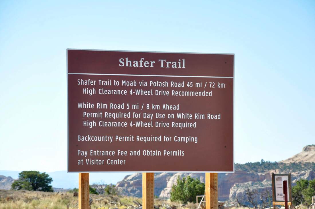
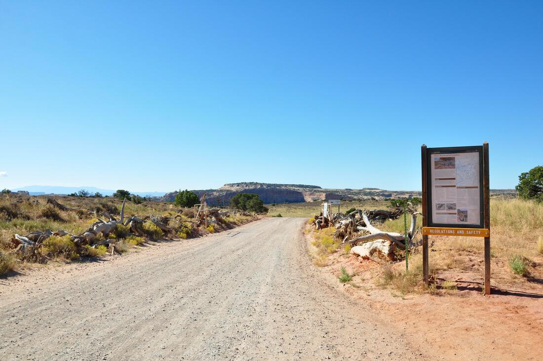
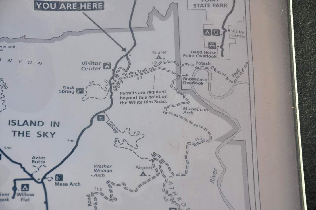
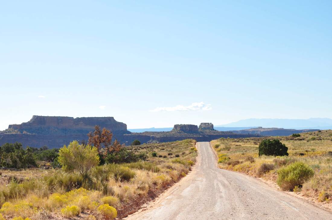
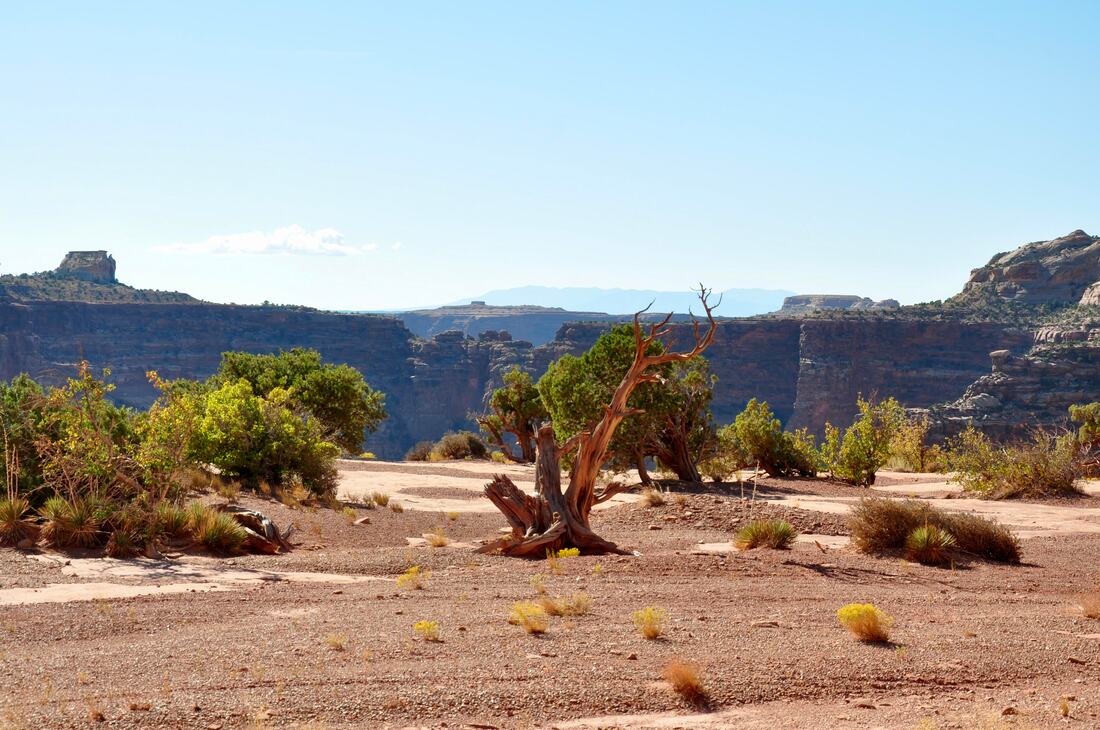
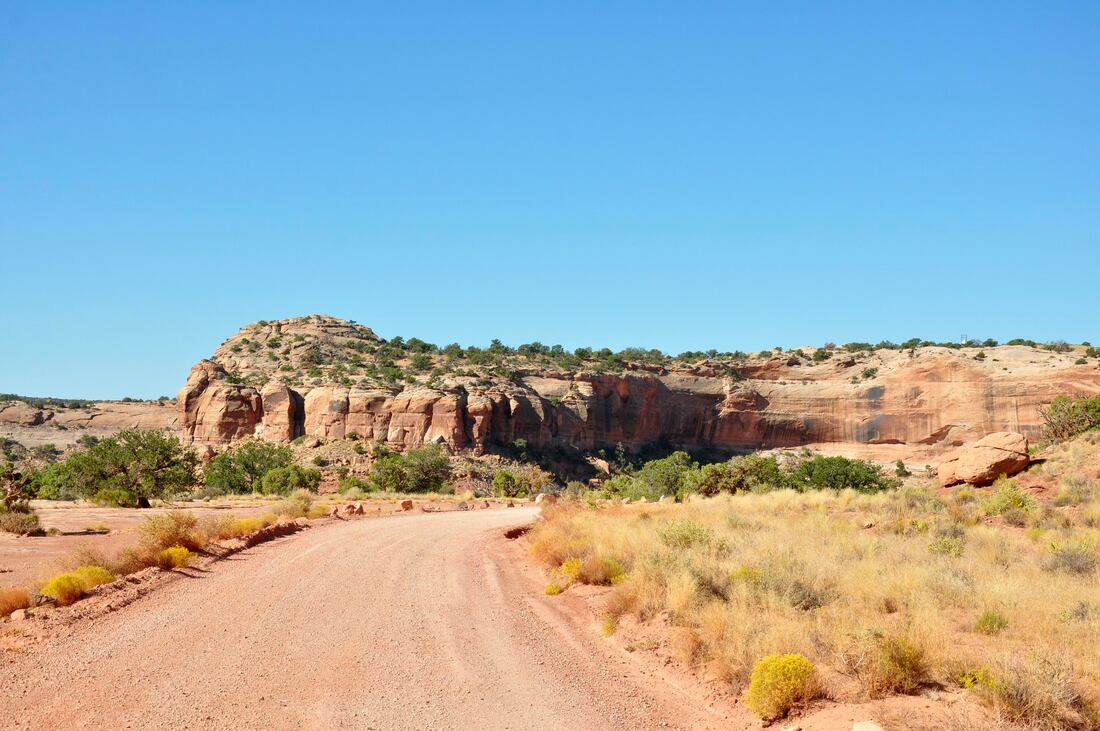
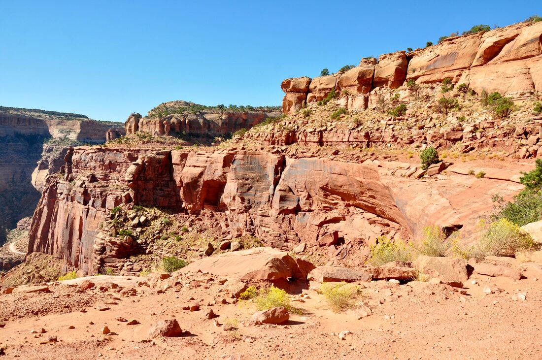
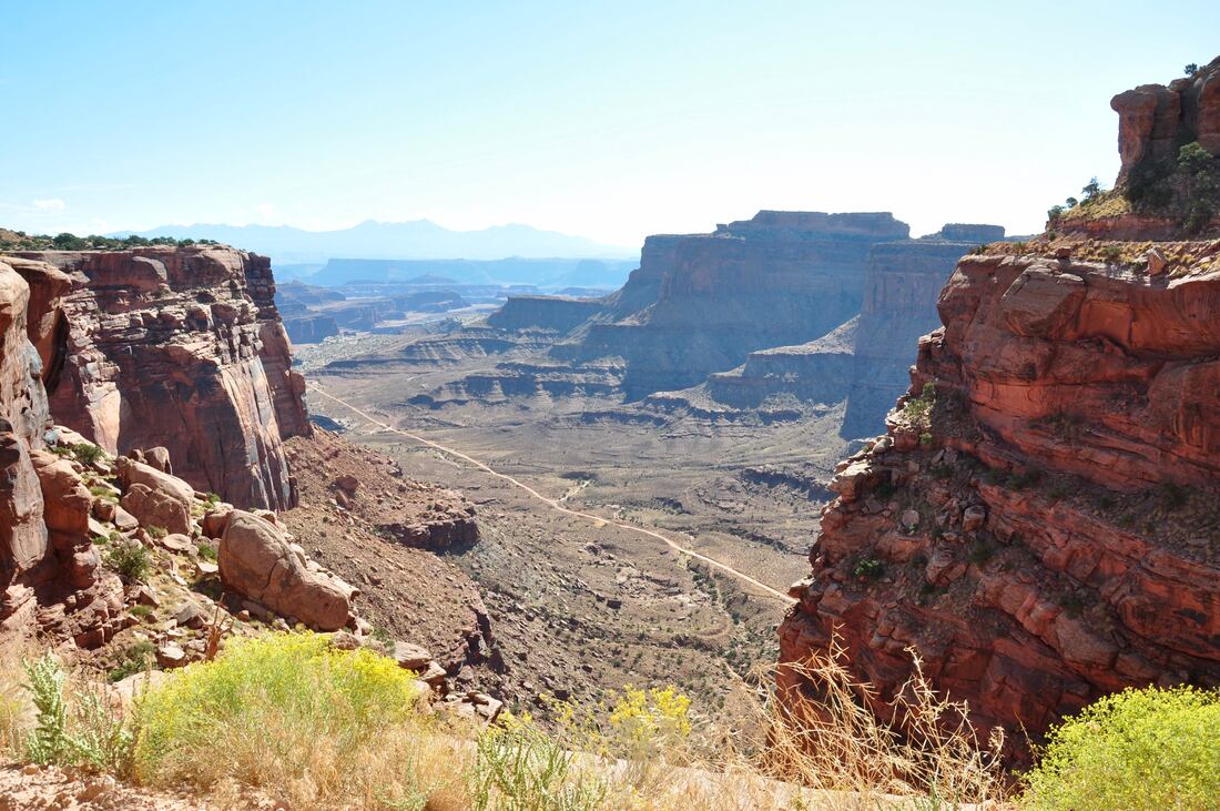
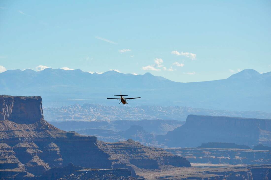
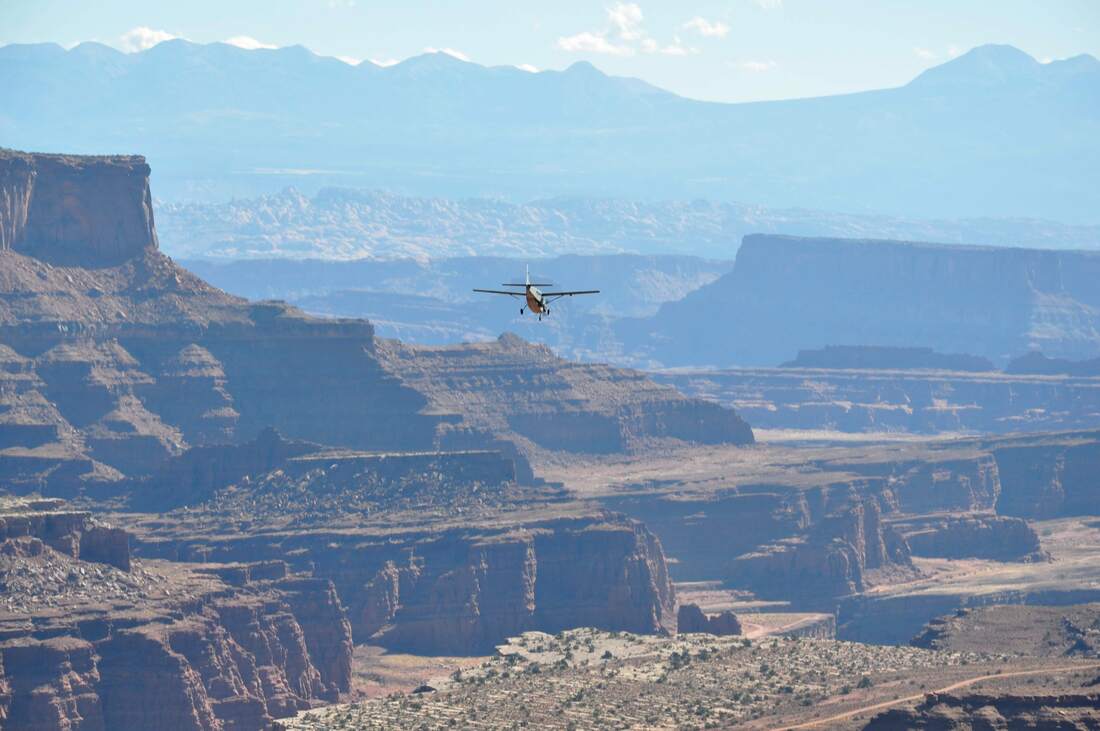
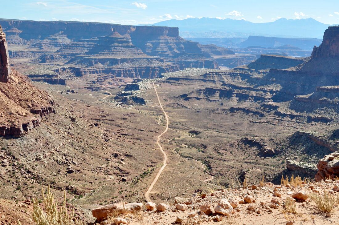
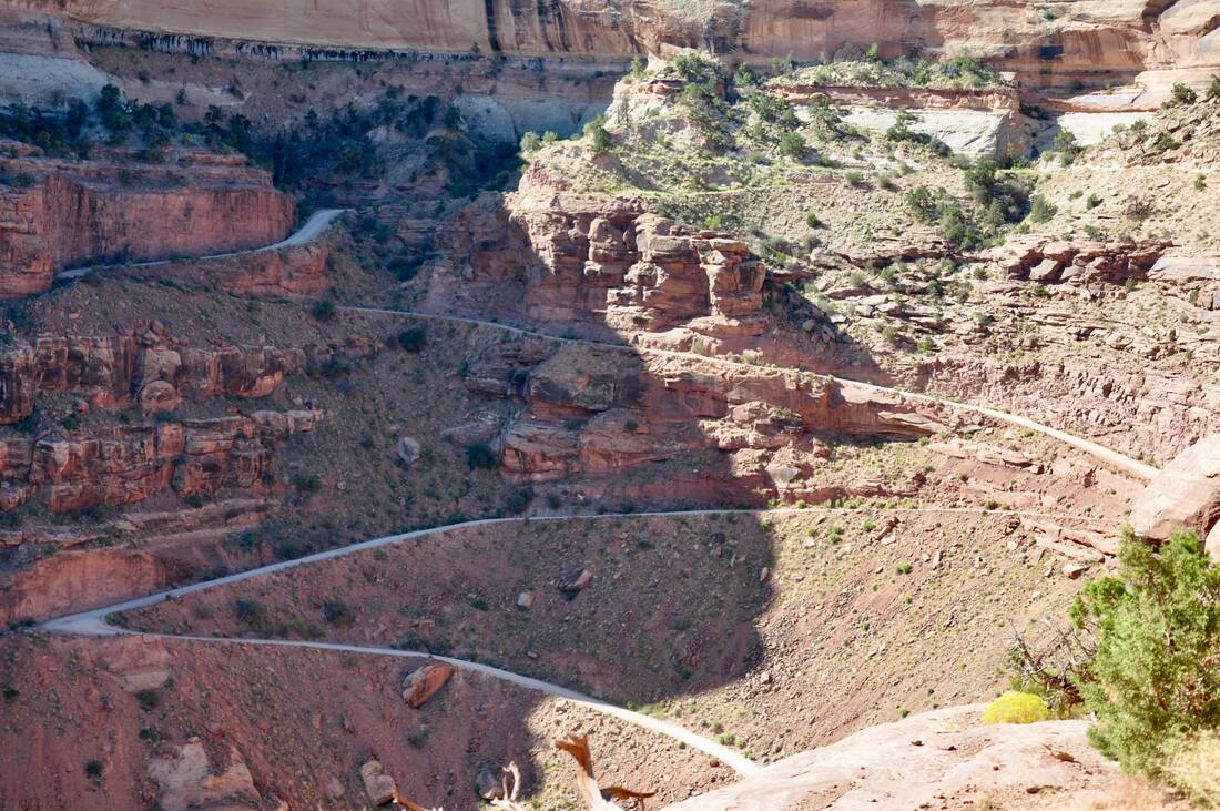
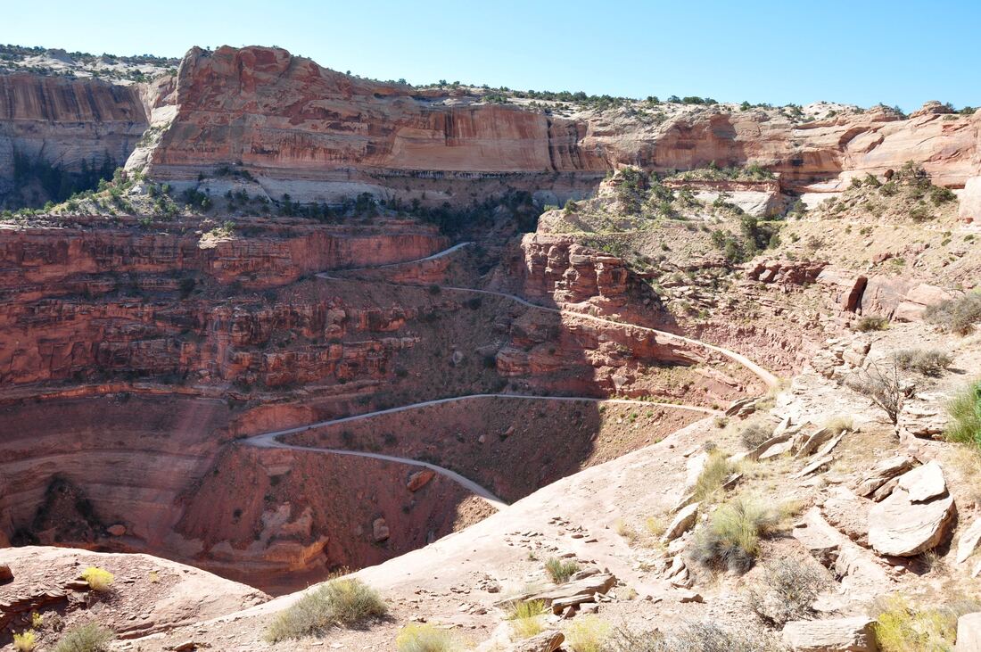
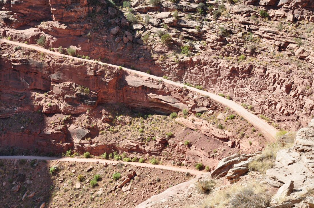
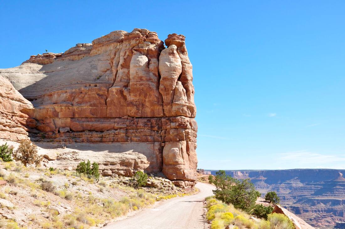
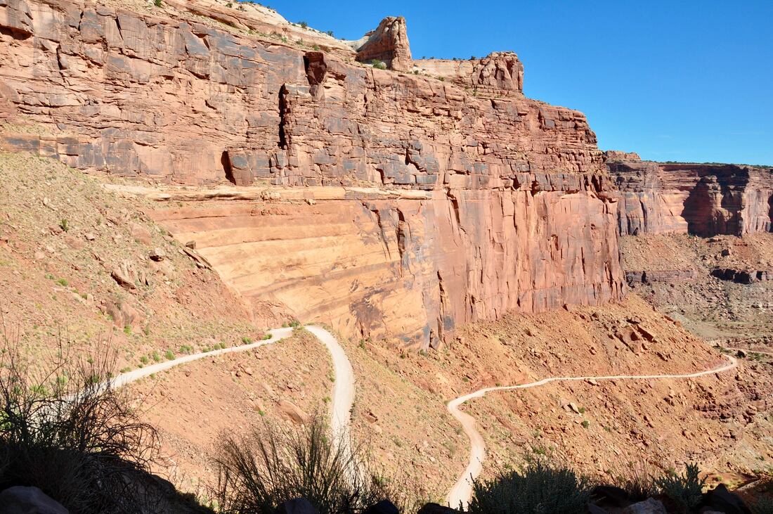
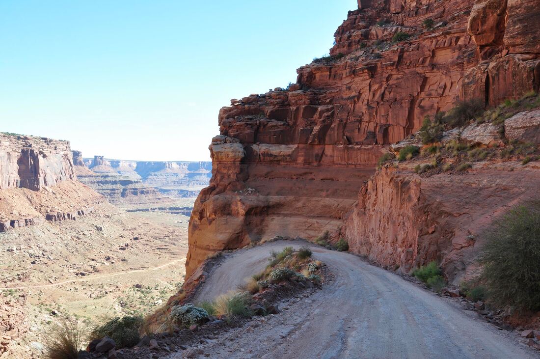
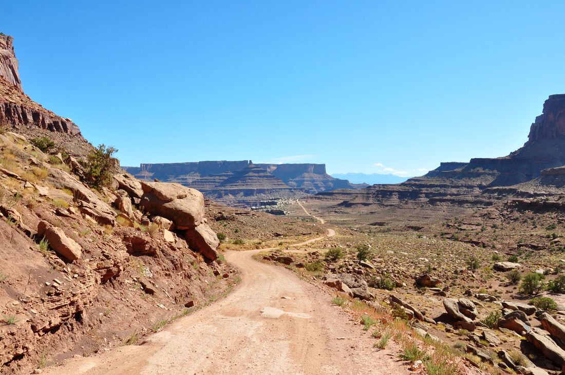
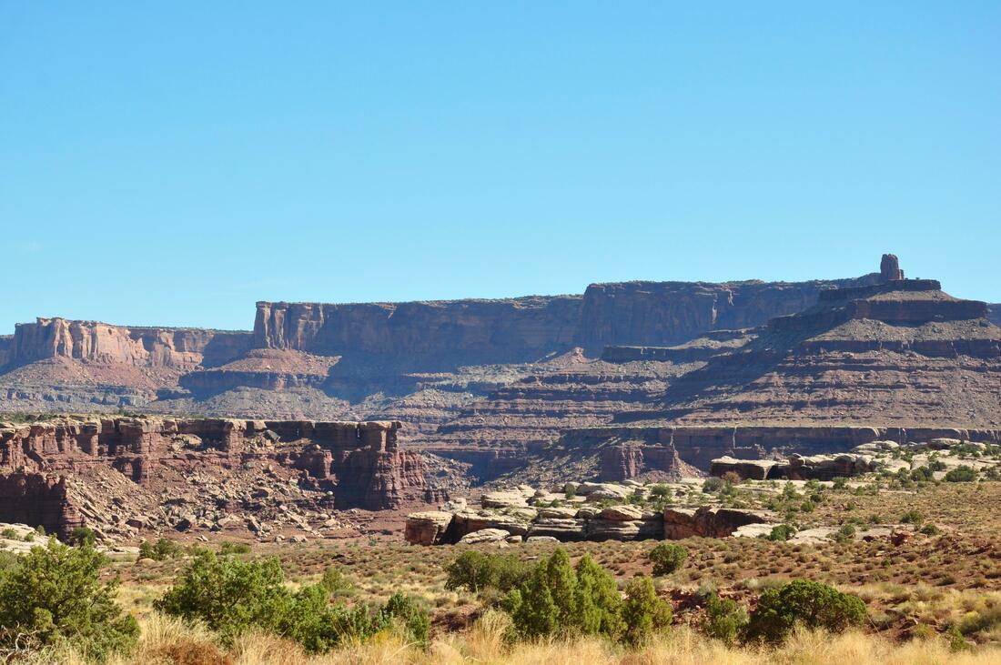
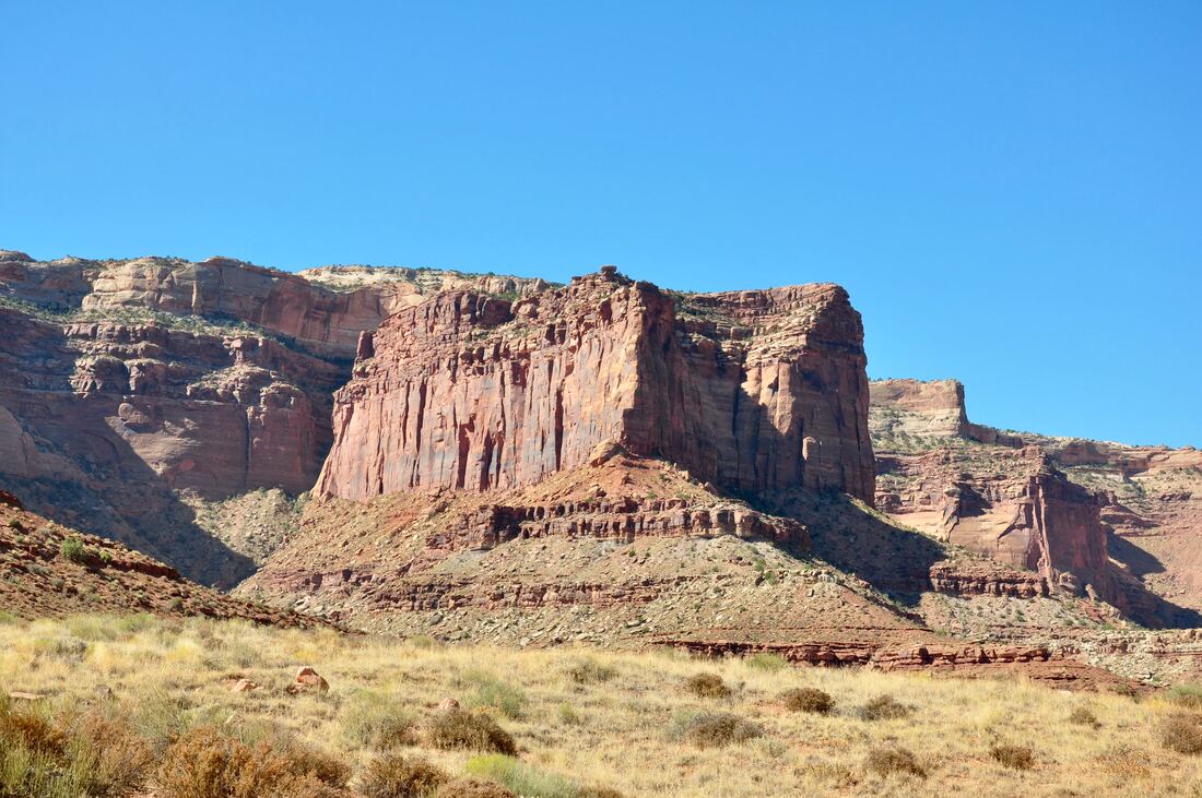
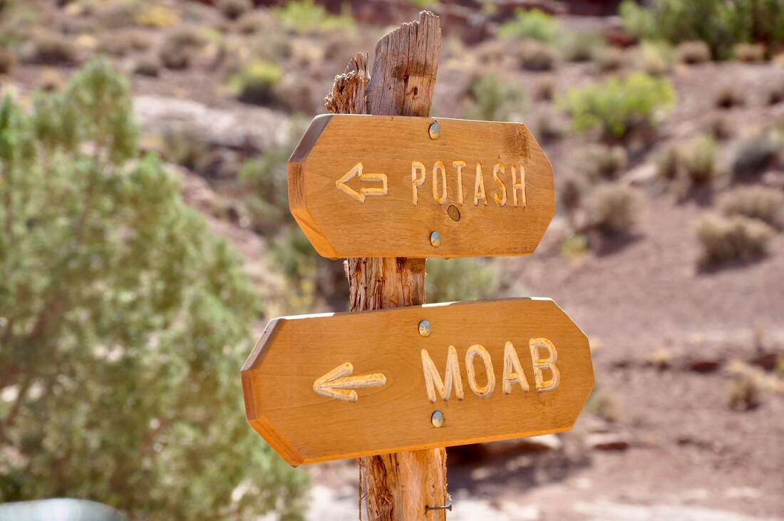
All it takes is one look from the scenic overlook to see that the Shafer Trail definitely is a thrill ride like no other! The Shafer Trail consists of a long series of hairpin switchbacks that go down the side of the Island In The Sky high mesa all the way down to the floor of Canyonlands National Park. To be exact, the trail ends on the mesa rim, which overlooks the canyons carved by the two big rivers in this area. The views every inch of the way are as majestic as can be, but it sure does pay to place the attention in the task at hand because this is one of the scariest narrow dirt roads in the entire west! There are several preliminary tasks that must be completed before starting a Shafer Trail venture. First and most important, it is best to be honest about the vehicle condition, because getting stranded will result in a towing charge that will cost a small fortune. A high ground clearance 4x4 is recommended, because a regular passenger car will take a thorough beating on the rough dirt roads. Packing extra food, water, a spare tire and a flat tire repair kit along with a pump will help to ensure a safe journey. Topping off the tank will be necessary too, because the mileage will add up to some big numbers on either dirt road that is followed at the end of the Shafer Trail. The total length of the Shafer Trail is about 19 miles and it ends at the intersection of Potash Road and the White Rim Trail, which are both very long dirt road touring routes that will take a visitor back to civilization. The total distance from the Shafer Trail starting point to Moab via Potash Road is 45 miles, which is the perfect distance for a day trip tour. Potash Road goes through the classic Canyonlands red rock landscape to the Colorado River Goosenecks, before it reaches the paved road section back to town. Several campgrounds, Jug Handle Arch and a very large ancient petroglyph wall can be seen along the paved section, which is a great way to finish the long day trip. The other touring option at the end of the Shafer Trail is the White Rim Trail, which takes the long way around the western edge of the Island In The Sky back to Highway 191. From the Shafer Trail Starting Point, the White Rim Trail is about 100 miles long, which qualifies this trek as an overnighter venture. In fact, because the going is guaranteed to be slow and tough on the vehicle, it is best to plan on doing two or three overnight campouts in order to finish with ease. Permits are required for riding the White Rim Trail and the campgrounds along the way require permits too. Only high ground clearance 4x4 vehicles are allowed on this rough dirt road, because the this trail is rated as difficult for many good reasons. The permits are easy to acquire at the Island In The Sky Visitor Center as long as the vehicle qualifies for this excursion. If not, there is no need to worry because plenty of Jeep rentals can be found nearby in Moab. On the downside, the White Rim Trail is prone to Green River flood closures during the spring snow melt season, which is good to keep in mind. The Potash Road route back to town was the way I chose to go, which is rated as a moderate difficulty level. Regular passengers cars are allowed on the Shafer Trail and Potash Road, but you would literally have to be out of your mind to drive a small car over this proverbial obstacle course! No matter whether you choose the Potash Road day trip or the lengthy White Rim Trail safari excursion at the end of the Shafer Trail, the venture will certainly be worthwhile. The panoramic views are endless, there are chances to see Bighorn Sheep around the grassy areas and a real sense of accomplishment will be gained by safely completing the long drive!
0 Comments
Your comment will be posted after it is approved.
Leave a Reply. |
Leave no trace!
New!
Destination West YouTube channel! https://www.youtube.com/@DestinationWestOrg *The Destination West website upgrading project is well underway. Unique YouTube slideshows are replacing the outdated Flickr photo galleries. The new videos feature modern graphics and alternative music instrumentals that enhance the viewing experience. Some articles are being condensed, while others are getting much needed edits. As everybody knows, the bulk of the original articles and photos were published on the fly during the Covid camping venture and there were limitations. Upgrading is the way to go and more articles will receive a makeover each week until this project is completed. After that, I will be able to gather new material. There is light at the end of the tunnel!
JD Lane Archives
July 2024
Donations help the Destinaton West project continue into the future!
Go Fund Me! This website uses marketing and tracking technologies. Opting out of this will opt you out of all cookies, except for those needed to run the website. Note that some products may not work as well without tracking cookies. Opt Out of Cookies |
