|
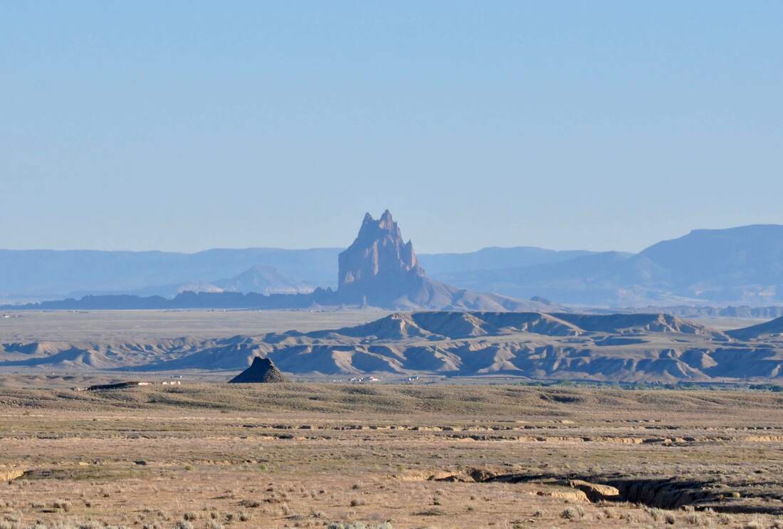
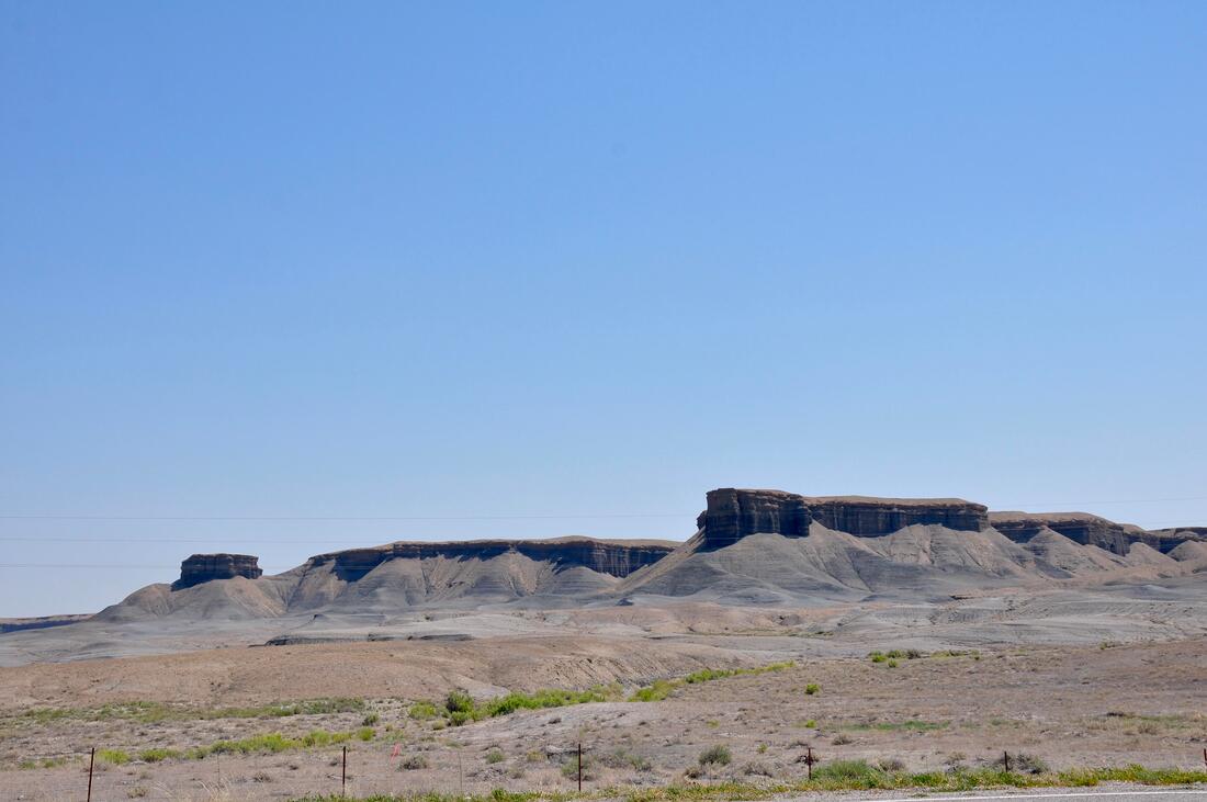
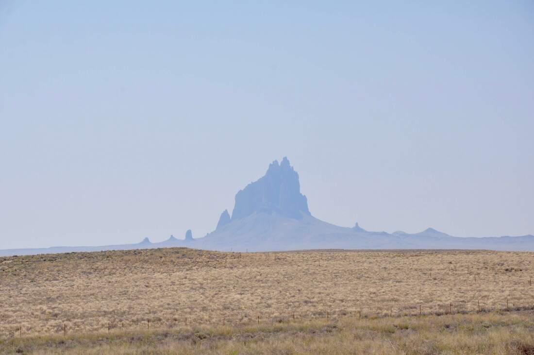
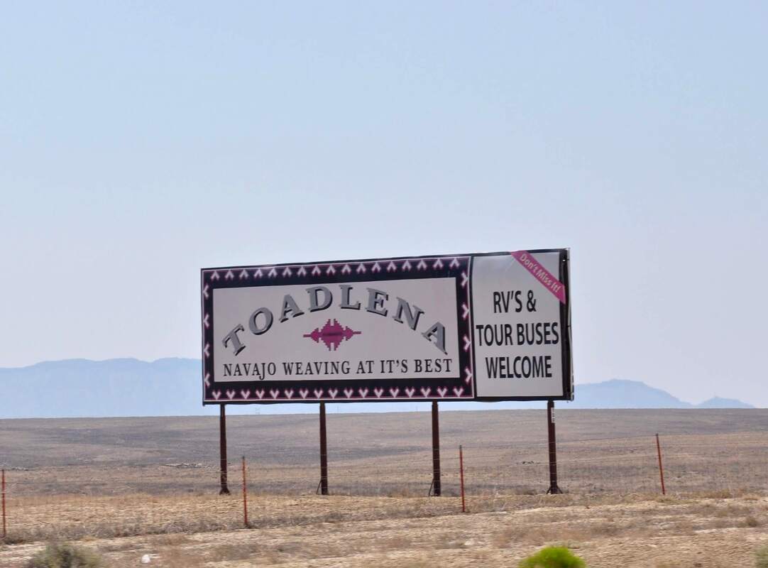
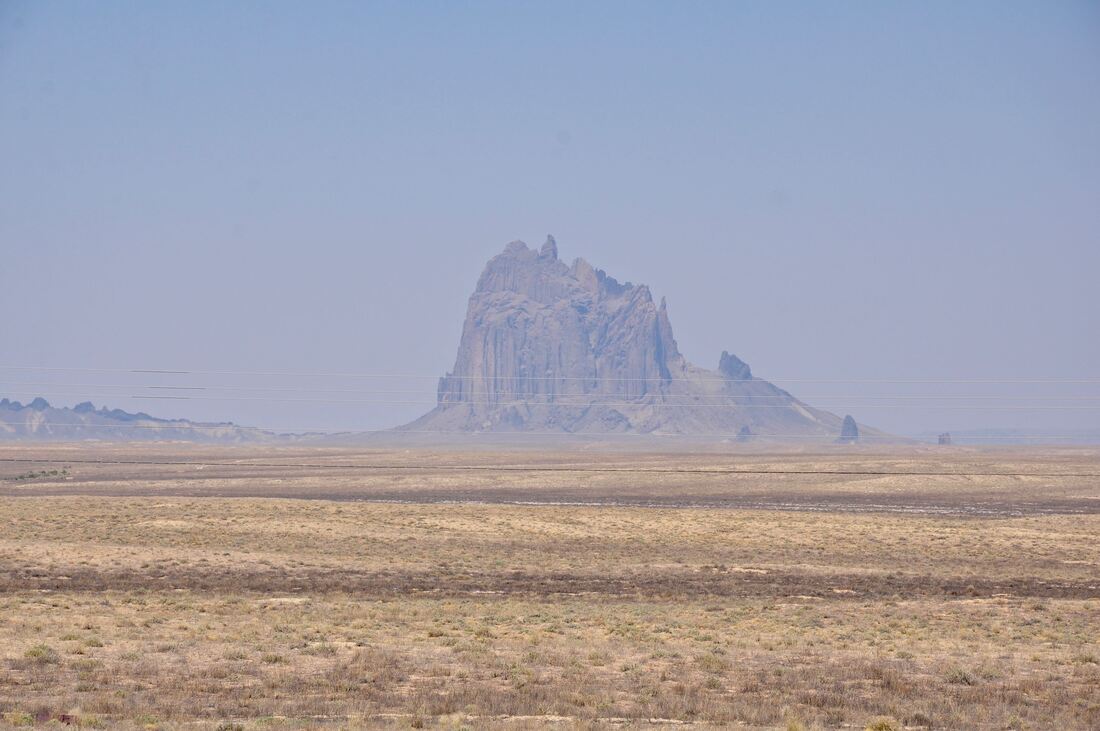
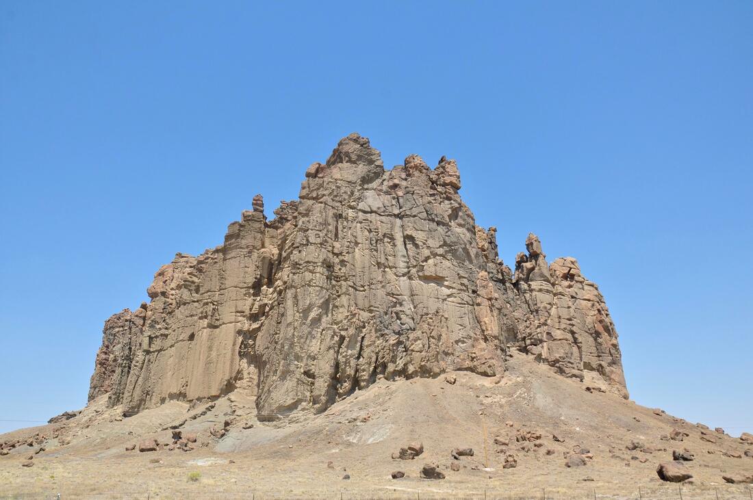
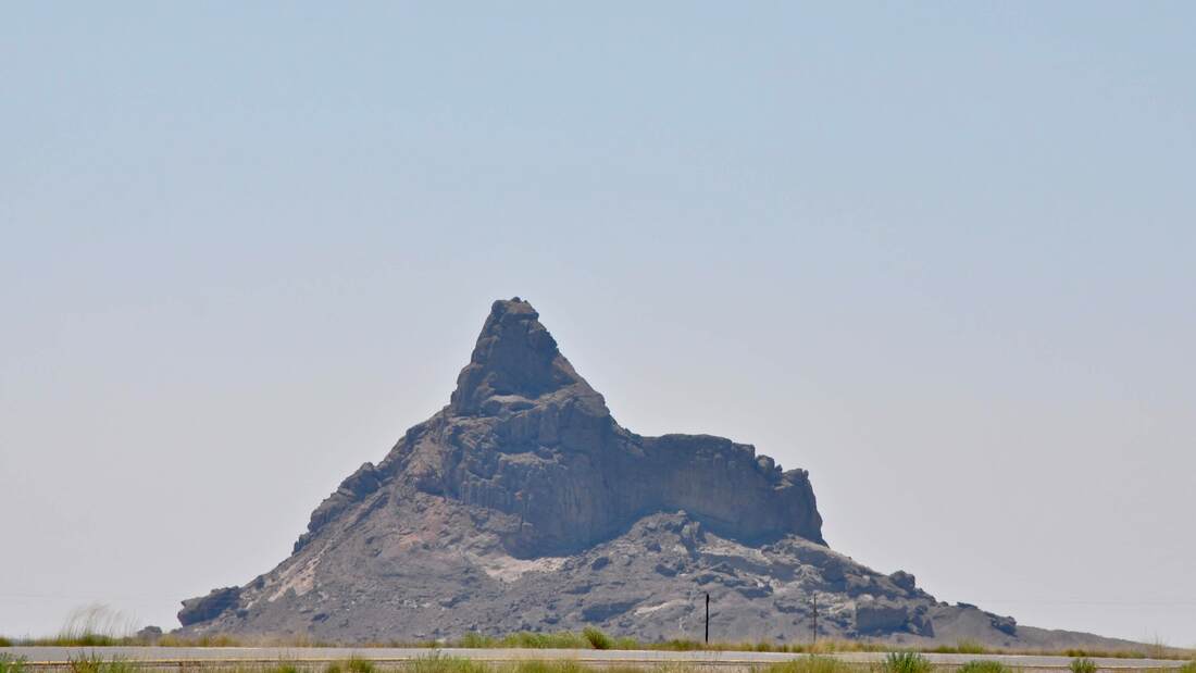
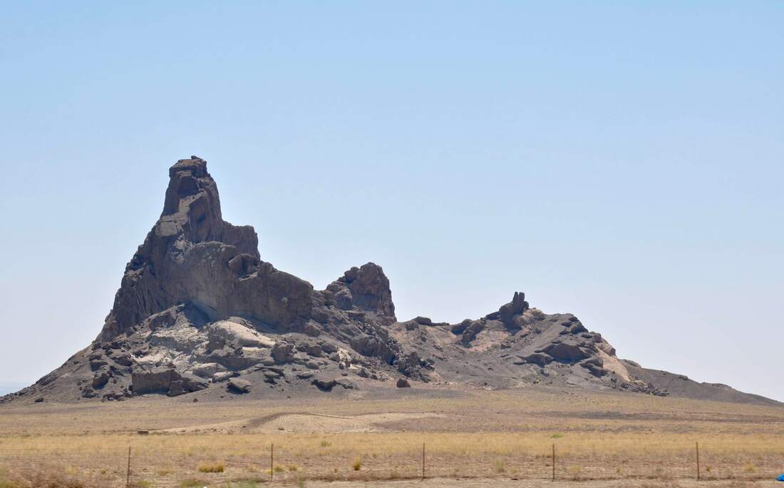
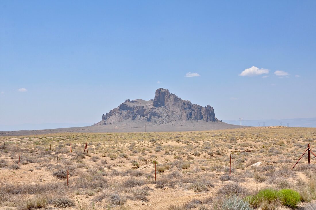
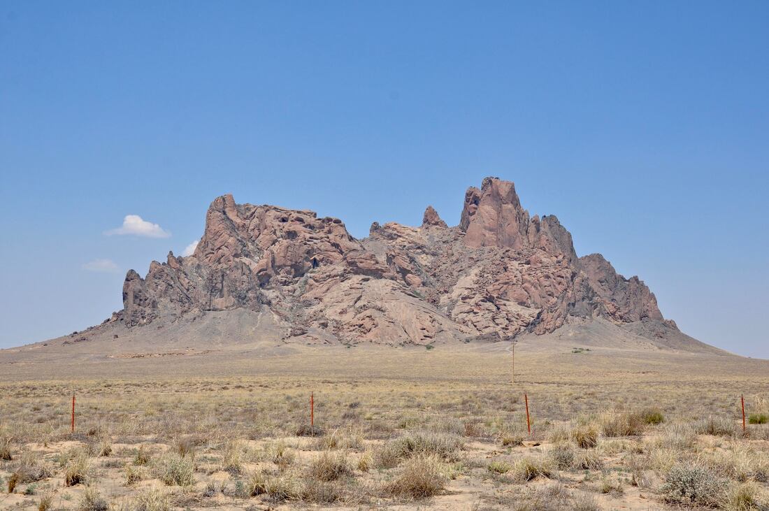
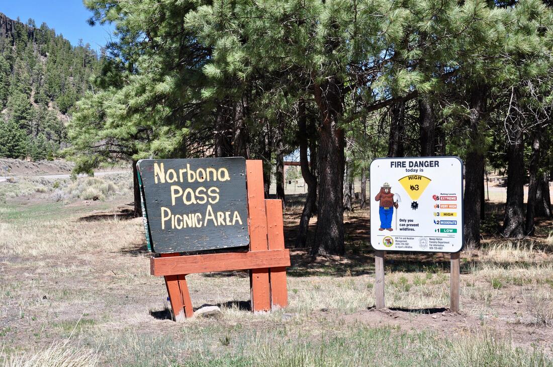
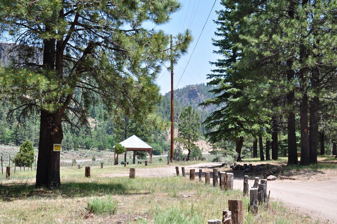
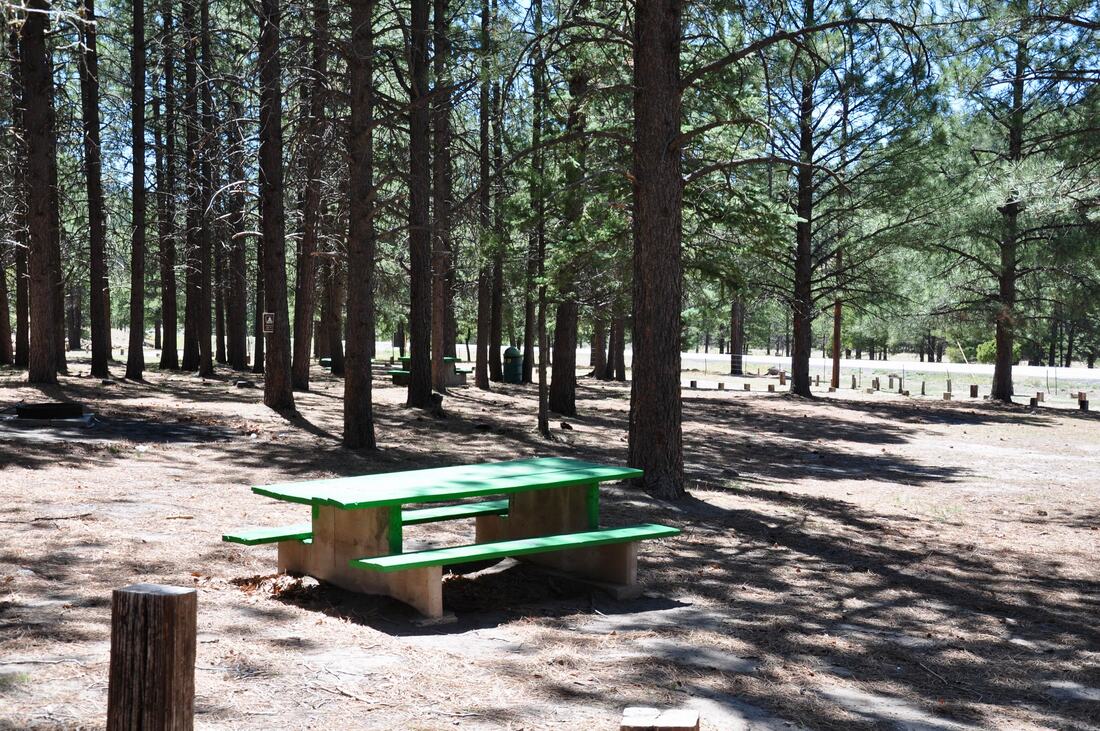
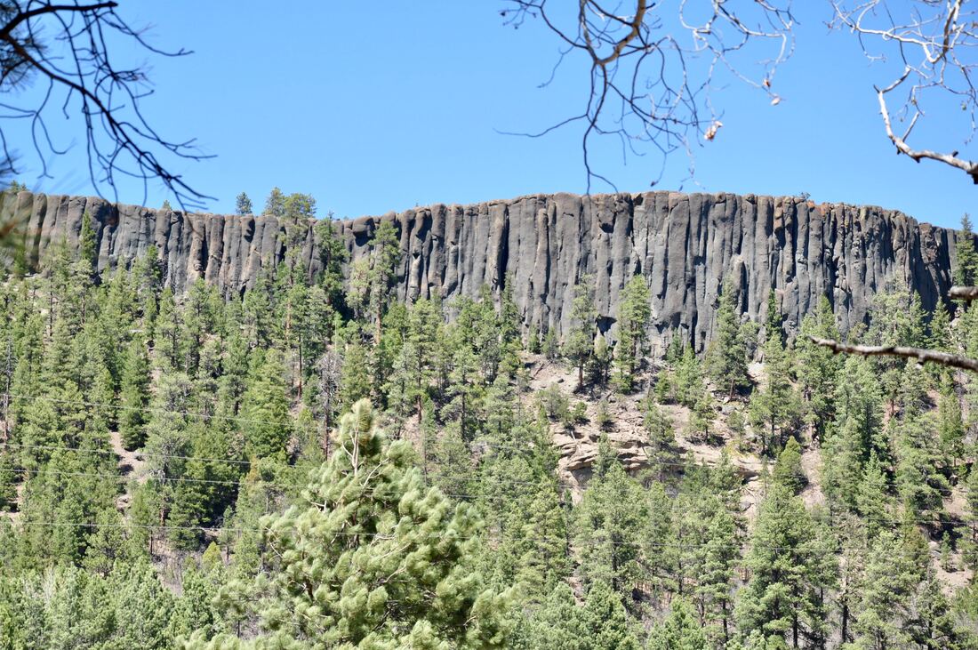
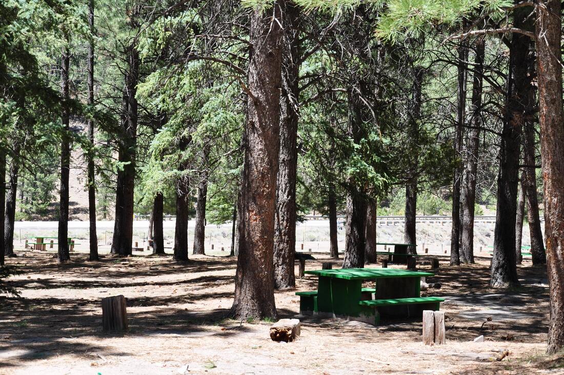
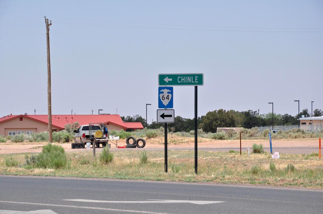
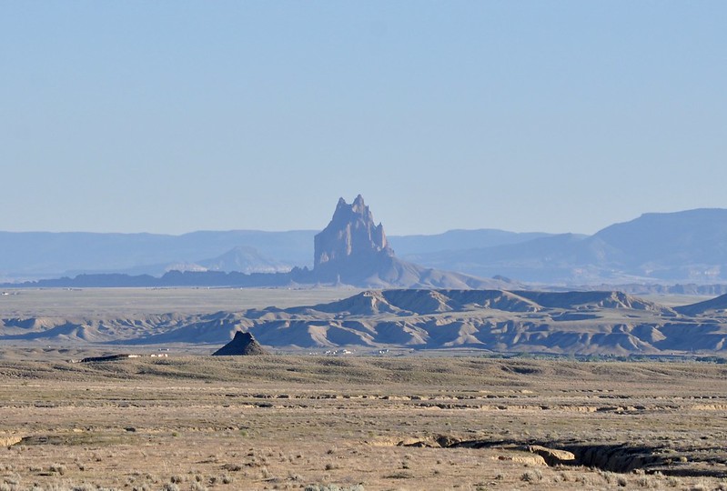
The distance between destinations in the Desert Southwest can be well over 100 miles, so it is best to make the best of each journey by turning the trip into a pleasant scenic drive. Dreading a long road trip will lead to a miserable driving experience and the negative attitude can ruin the day for all those on-board. For this reason, it is best to put a smile on the face and turn the lengthy trip into a memorable venture! There are so many majestic landscapes and interesting sites to see when doing a long drive in the Desert Southwest, that the time that it takes to do a 100 mile plus journey seems to fly by, as if being teleported through a dream like state. This is especially true when touring Navajo Nation Tourism destinations, because the passengers will be preoccupied with learning something about the local culture along the way. In order to enhance the planned scenic drive experience, it helps to do a little bit of research beforehand. When driving alone or with passengers, it helps to take the initiative to lead the way by plotting a few points of interest in the travel route itinerary. Knowing what lies ahead on the planned travel route also allows the leader to act as a tour guide. Learning a few facts, some local history and being able to identify landmarks by name will surely inspire some good conversation along the way. The long drive that goes from Four Corners to the Canyon De Chelly National Monument can easily be turned into a fun scenic drive. Most folks follow the smart phone mapping service route when doing this trip, which is a shorter distance, but the views along the slightly longer alternate scenic route through Narbona Pass are more interesting. By following the pathway from Shiprock to Chinle via Narbona Pass there will be more opportunities to enjoy majestic landscapes and there is a great picnic area at the halfway point that is perfect for taking a break from the road! The Shiprock landmark can be seen from the hills near the Four Corners Monument, so it is easy to navigate the start of this journey. Plotting the rest of the trip from Shiprock on a GPS mapping system or on paper is the best thing to do, because there are very few roads in this region and one wrong turn can lead to traveling many extra miles before one realizes that they are going in the wrong direction. Relying on a plotted map is the best way to go and it is best to keep in mind that the distance between gas stations can be over 50 miles in this region, so be sure to top off the fuel tank before getting the show on the road! The Navajo community of Shiprock is located near the intersection of U.S. Highway 64 and U.S. Highway 491. From Shiprock, head south on Highway 491 to Sheep Springs, New Mexico, then head west on State Road 134. SR 134 runs through Narbona Pass in the mountains to Indian Service Road 12. Follow Indian Service Road 12 north to Indian Service Road 64 then head west on this road to Chinle, Arizona and you have arrived! One might ask why take this travel route from Shiprock to Chinle, if a shorter route exists? ... The answer has to do with the beautiful scenery along the way is well worth checking out! Shiprock is an awesome sight to see and there is plenty of history and native lore associated with this unique rock formation. In fact, one beautiful isolated rock outcrop island after another can be seen along this section of Highway 491, so be sure to keep the camera ready. There are a few trading posts located along this road where local artisans market their crafts, so purchasing an authentic tribal memento of the journey is a worthwhile option. After Highway 491 meets SR 134, the drive going west runs through the historic Narbona Pass in the forested mountains. The mountain landscape is green and lush, so the Narbona Pass Day Use Picnic Area is an ideal spot to stop for an afternoon munch session in the shade of the tall Ponderosa Pines. There are a few campsites and RV villages just down the road from Narbona Pass too and this wilderness area is a great place to view the stars at night. After driving the SR 134 section, heading north on Indian Service Road 12 offers plenty of majestic landscapes to experience. In this area the desert floor meets the mountains and there are a couple of lakes that add to the panoramic views. Black Lake, Wheatfields Lake and Tsaile Lake are practically located next to the road, so there are some good wildlife viewing opportunities along this route. After continuing west on Indian Route 64, the road runs along the north rim of Canyon De Chelly National Monument. There are several scenic overlooks along this stretch of road and the hiking trails offer a chance to stretch the legs. Eventually Indian Service Road 64 ends in the Navajo community of Chinle, which happens to be the gateway for adventures in Canyon De Chelly. Chinle offers all modern amenities, automobile or RV maintenance shops and several good restaurants, so this town is a great place to set up a basecamp for Canyon De Chelly adventures. It is important to keep in mind that Canyon De Chelly is the home of the Navajo Nation and all tours on the canyon floor require guides, in order to protect this ancient sacred place. Chinle is where ATV and horseback tours of Canyon De Chelly can be booked. During the peak tourism season it is best to make reservations in advance, especially for large groups. Canyon De Chelly is a World Heritage Site that should be placed high on the lifetime travel destination bucket list. Doing the scenic drive from Shiprock to Chinle via Narbona Pass is a good way to learn a little something about the Navajo homeland along the way. Planning on spending a few days at Chinle is par for the course, because the best way to experience Canyon De Chelly is to take a guided tour through the canyon floor, which can take at least one full day to cover. It will also take at least one more day to explore all of the Canyon De Chelly Overlooks on the canyon rim. A tour through Canyon De Chelly will be both a learning and spiritual experience that will create pleasant memories that will last a lifetime!
0 Comments
Your comment will be posted after it is approved.
Leave a Reply. |
Leave no trace!
New!
Destination West YouTube channel! https://www.youtube.com/@DestinationWestOrg *The Destination West website upgrading project is well underway. Unique YouTube slideshows are replacing the outdated Flickr photo galleries. The new videos feature modern graphics and alternative music instrumentals that enhance the viewing experience. Some articles are being condensed, while others are getting much needed edits. As everybody knows, the bulk of the original articles and photos were published on the fly during the Covid camping venture and there were limitations. Upgrading is the way to go and more articles will receive a makeover each week until this project is completed. After that, I will be able to gather new material. There is light at the end of the tunnel!
JD Lane Archives
July 2024
Donations help the Destinaton West project continue into the future!
Go Fund Me! This website uses marketing and tracking technologies. Opting out of this will opt you out of all cookies, except for those needed to run the website. Note that some products may not work as well without tracking cookies. Opt Out of Cookies |
