|
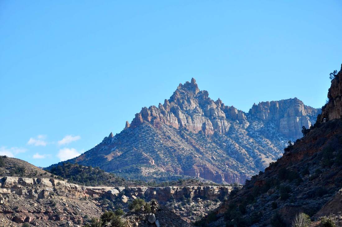
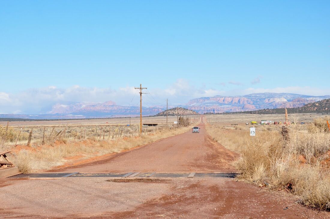
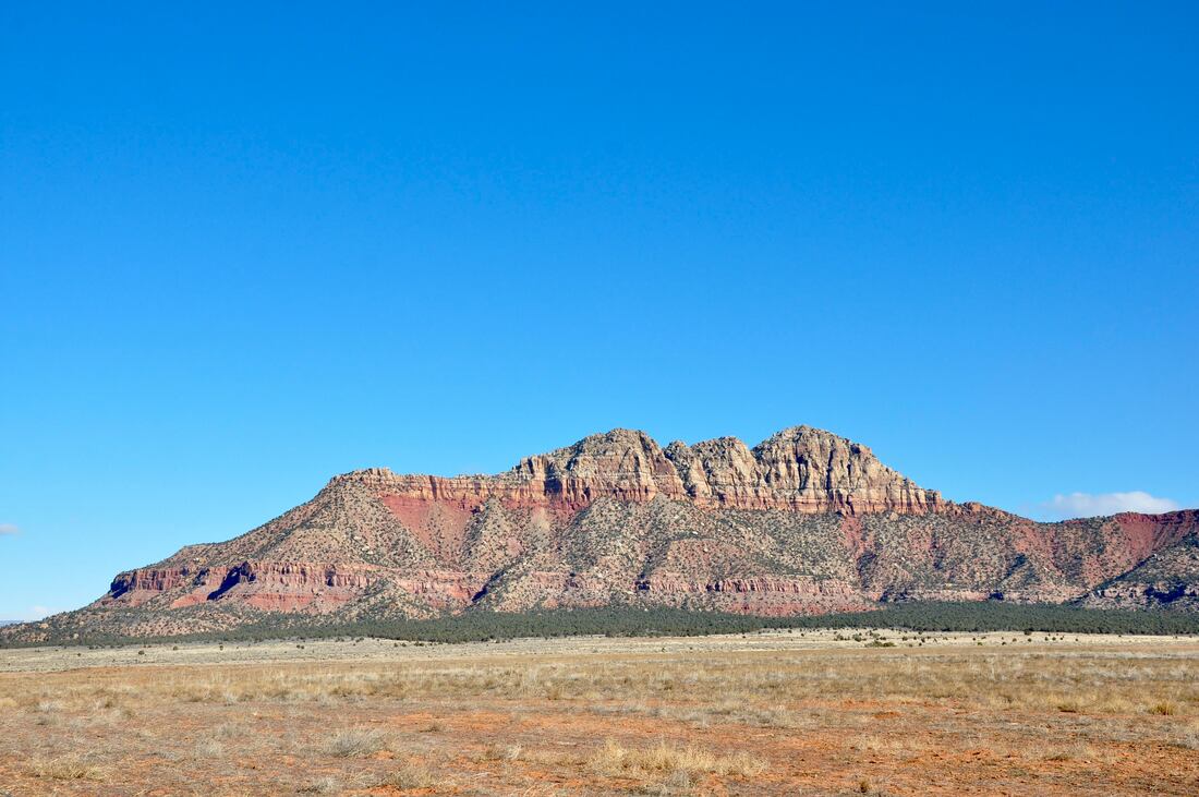
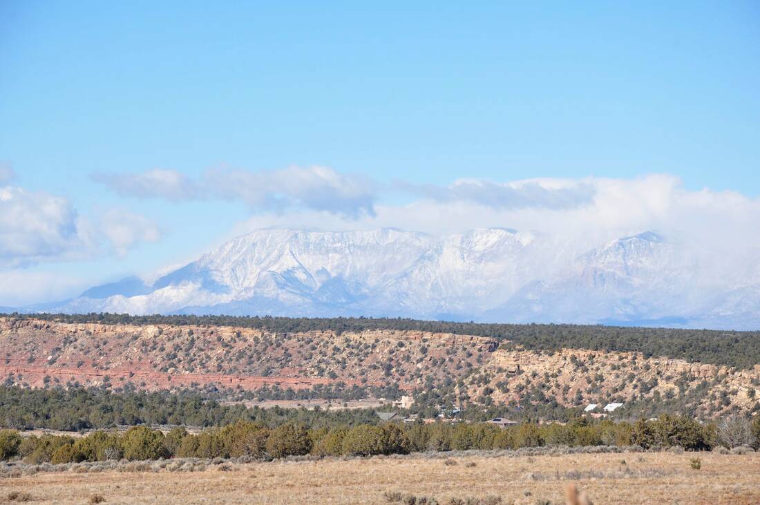
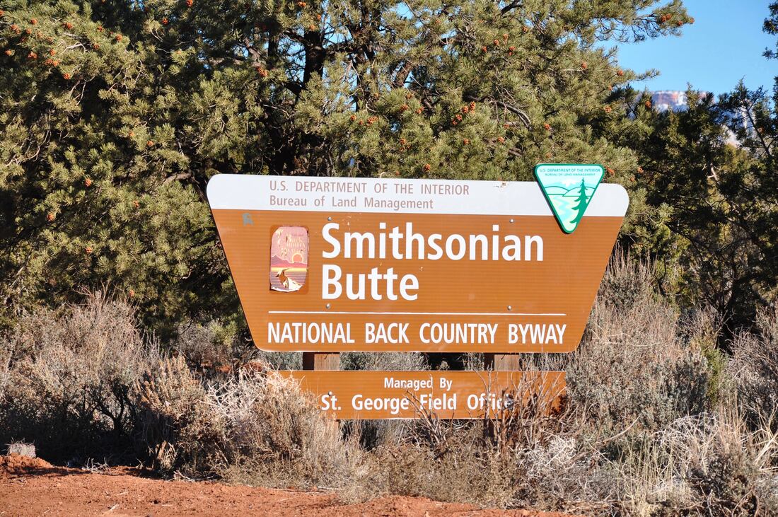
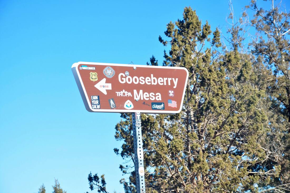
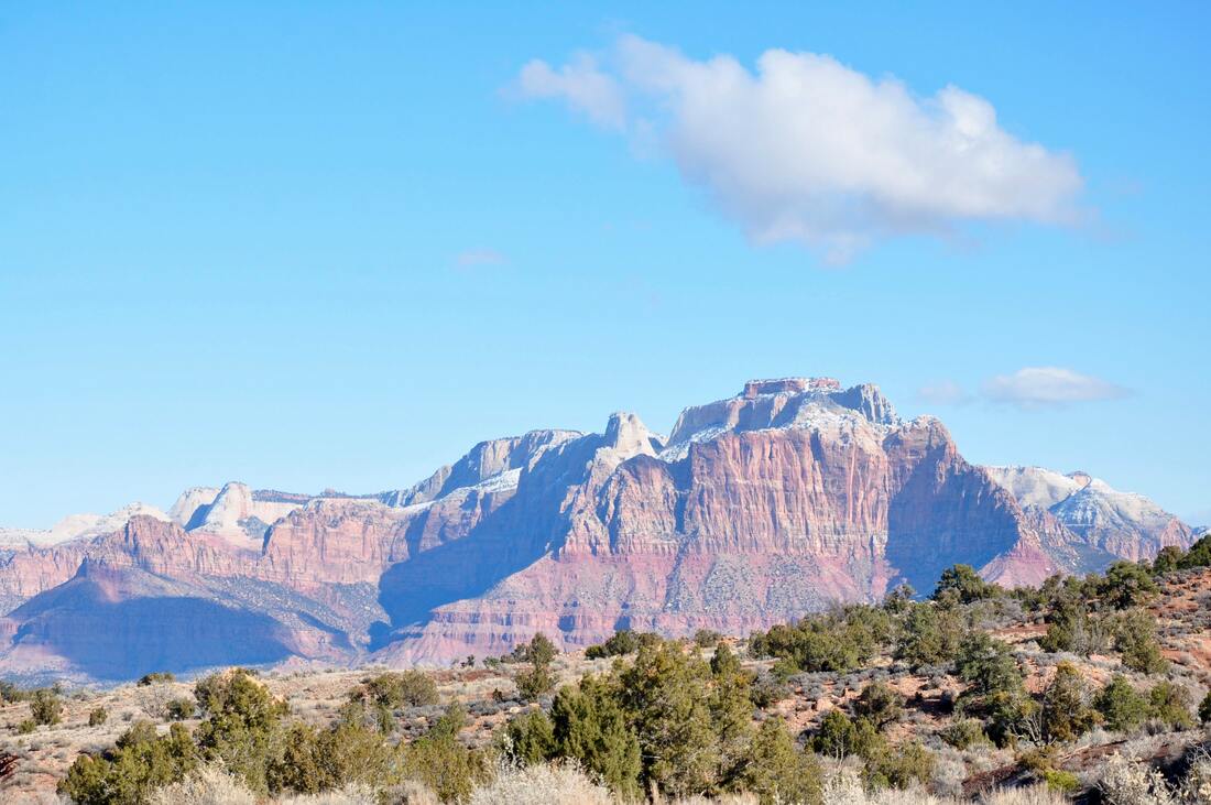
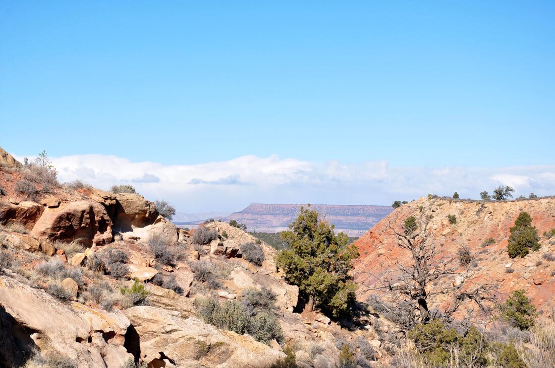
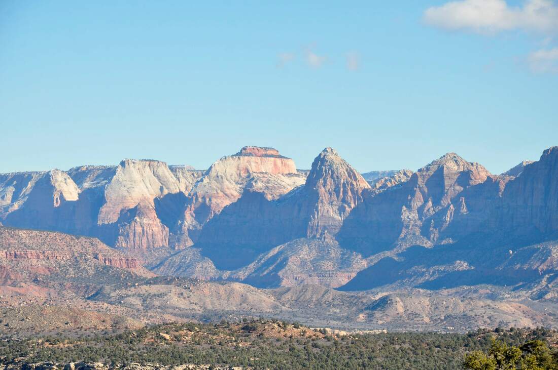
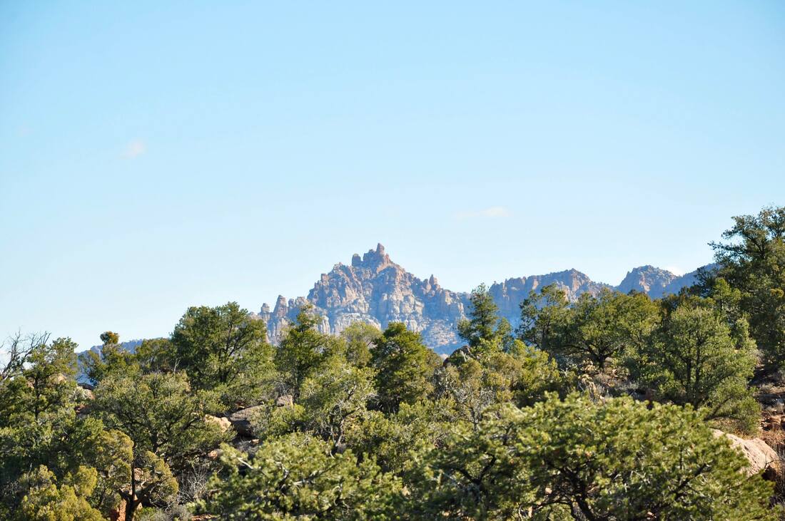
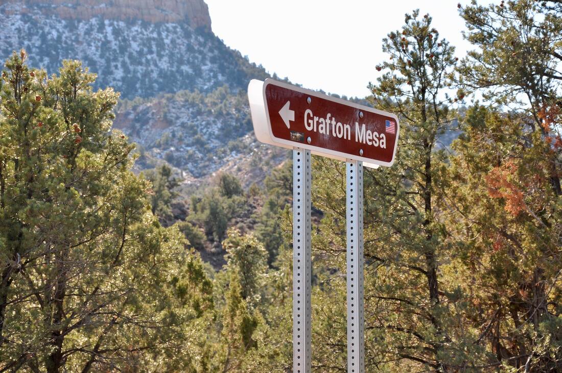
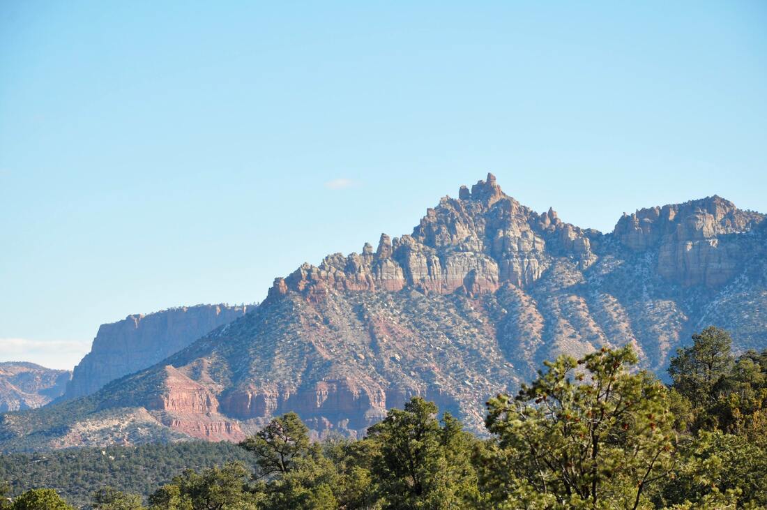
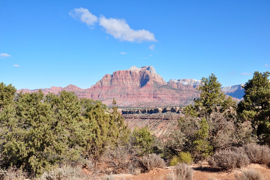
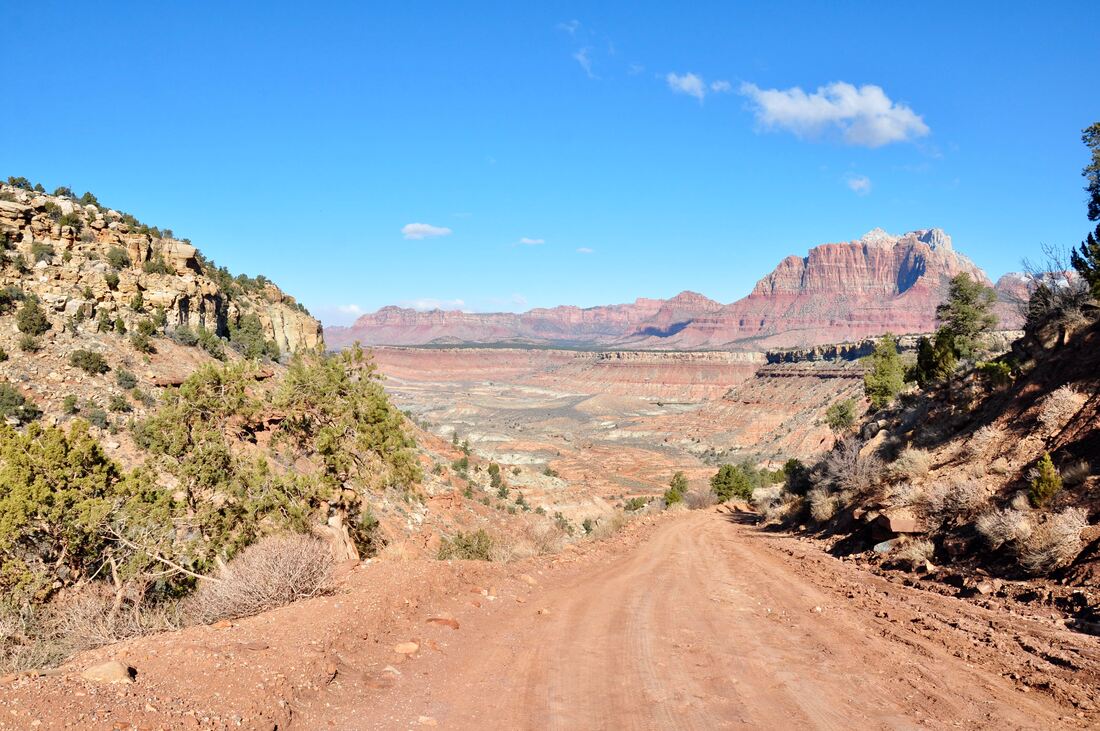
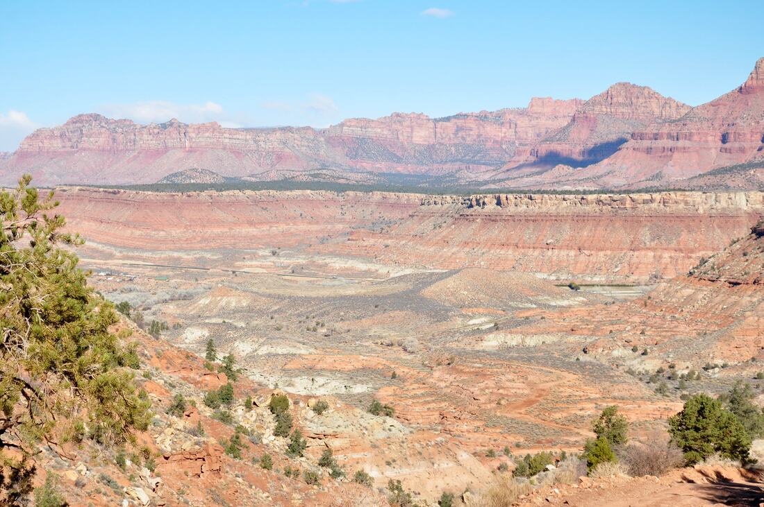
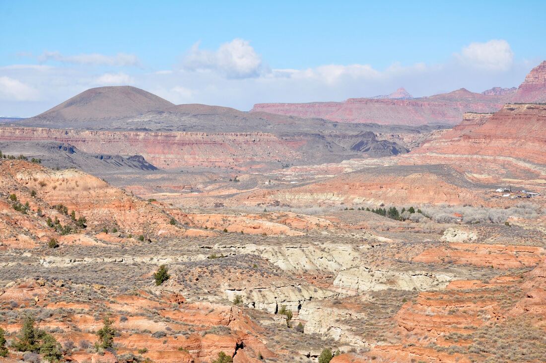
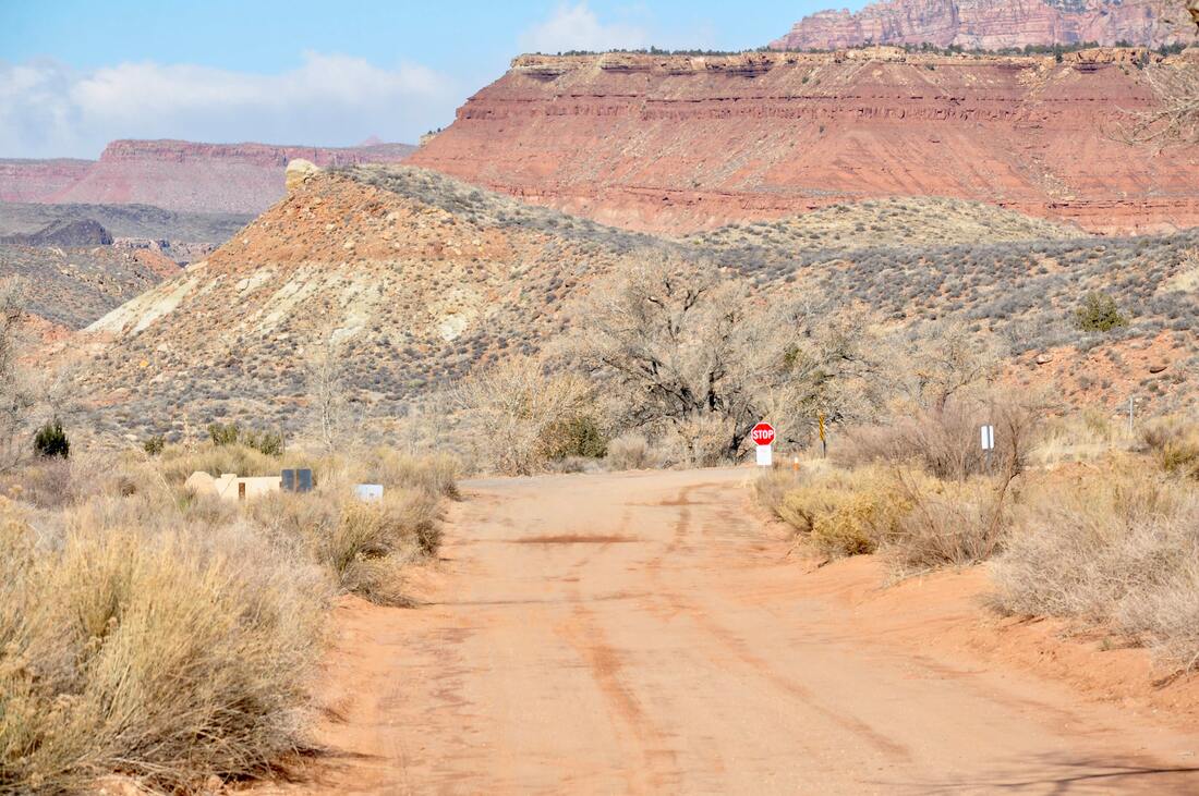
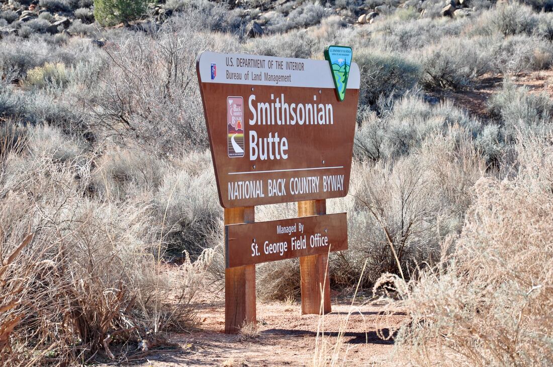
Touring the National Scenic Back Country Byways of the west is the means for experiencing far more than what an average tourist driving a passenger car will see. The long dirt road byways wind their way through vast wilderness areas instead of going around them, so the views are up close and personal. Since features like rock climbing areas, hiking trails and campsites are rarely pictured on road maps, there are plenty of pleasant surprises to be discovered along the way. The only limiting factor for driving the Back Country Byways is whether the vehicle is capable of doing an off-highway trip. Some of the dirt roads are maintained and smooth, while others are more like a Jeep obstacle course. In order to avoid biting off more than you can chew, it is best to do some research before taking on a dirt road byway trip. Satellite imagery and recent Jeep Club photo journals on the internet can be of help when deciding whether a particular dirt road will be too rough. Websites like AllTrails.com do rate dirt roads by their difficulty level. The nine mile long Smithsonian Butte National Back Country Byway is a popular side trip venture for visitors of Zion National Park. In fact, this long dirt road is kind of a scenic shortcut, because this travel route completely bypasses the city of Hurricane. For those who want to see more of the majestic Zion landscape instead of traveling through the city, touring this scenic byway is the way to go! The two access points for the Smithsonian Butte National Back Country Byway are easy to find. One access point can be found at the Virgin River Bridge in Rockville just south of the Zion National Park entrance. The other access point is 14 miles east of Hurricane on Utah State Road 59 in the town of Apple Valley. Anybody that has ever driven the Smithsonian Butte National Back Country Byway will agree that the best starting point is the Apple Valley option, because the majestic views of Zion will not be in the rear view mirror. The other reason is because there is a very steep slope approaching the Virgin River basin that is much easier to traverse when going downhill, so the Apple Valley access point is the best choice for the start of this venture. When starting in Apple Valley, the Smithsonian Butte National Back Country Byway road conditions will be deceptive, because the Main Street section is a very smooth farm road for a couple of miles. When the dirt road enters BLM territory it becomes too rough for an average two wheel drive passenger car. A high ground clearance two wheel drive vehicle or a 4×4 will make the trip much easier from this point on. If the weather is wet then all bets are off, because the red clay dirt road can easily turn into deep mud. As can be seen in the photos, I chose the Apple Valley starting point on the day that I toured the Smithsonian Butte National Back Country Byway. The majestic views of the tall mesa bluffs and the mountain peaks of Zion country are plentiful along this long dirt road, so plan on spending some extra time to take it all in! There are three BLM camping and day use areas along this dirt road that are easy to find, so doing a picnic or an overnighter is an option. There are several roadside hiking trailheads that lead to remote campsites and even more scenic overlooks can be found on the high ground too. As the road enters the juniper and pine forests, the views of Smithsonian Butte and some of the main features of Zion come into view. There are several good scenic overlooks on the high mesa and each offers a unique view. After reaching the crest of the high ground, the Zion wash and Virgin River basin can be seen. This rugged high desert wilderness landscape extends to the horizon and there is no better place to see the colorful mountains that guard the entrance to Zion! From the high ground overlooks, the Smithsonian Butte National Back Country Byway starts going downhill over a very steep grade. If the condition of the tires or brakes on the vehicle are questionable, it is best to just turn back, because the downhill run can be dangerous. The road through this section is carved out of the mountainside, so it is like driving on polished cobblestones that are very slick. Plugging along at a slow pace is the only way to go, when driving the steep downhill slope, because it is very easy to get out of control. After doing the white knuckle downhill run, navigating the dirt road in the dry wash basin is easy to do. It is remarkable to see how much the landscape changes from the lush green high elevation down to the floor of the desert dry wash basin. The experience can be compared to being in two completely different worlds within 15 minutes time, so expect to experience some sensory overload! The exit point at the Virgin River Bridge in Rockville was the only cause for a pause during the scenic byway trip. A construction project was going on at the bridge, so there was a long delay when crossing. After reaching the intersection of Utah State Road 9 in Rockville, it is only a few miles to Zion National Park or Hurricane in either direction, so the touring adventure can continue on from there. The Smithsonian Butte National Back Country Byway certainly is a great pathway to adventure in Zion Country. Those who explore this road less traveled will find camping options that the majority of Zion tourists do not know about. If finding some elbow room in the majestic Zion country wilderness sounds like a dream come true, then the Smithsonian Butte National Back Country Byway is the perfect scenic dirt road for you!
0 Comments
Your comment will be posted after it is approved.
Leave a Reply. |
Leave no trace!
New!
Destination West YouTube channel! https://www.youtube.com/@DestinationWestOrg *The Destination West website upgrading project is well underway. Unique YouTube slideshows are replacing the outdated Flickr photo galleries. The new videos feature modern graphics and alternative music instrumentals that enhance the viewing experience. Some articles are being condensed, while others are getting much needed edits. As everybody knows, the bulk of the original articles and photos were published on the fly during the Covid camping venture and there were limitations. Upgrading is the way to go and more articles will receive a makeover each week until this project is completed. After that, I will be able to gather new material. There is light at the end of the tunnel!
JD Lane Archives
July 2024
Donations help the Destinaton West project continue into the future!
Go Fund Me! This website uses marketing and tracking technologies. Opting out of this will opt you out of all cookies, except for those needed to run the website. Note that some products may not work as well without tracking cookies. Opt Out of Cookies |
