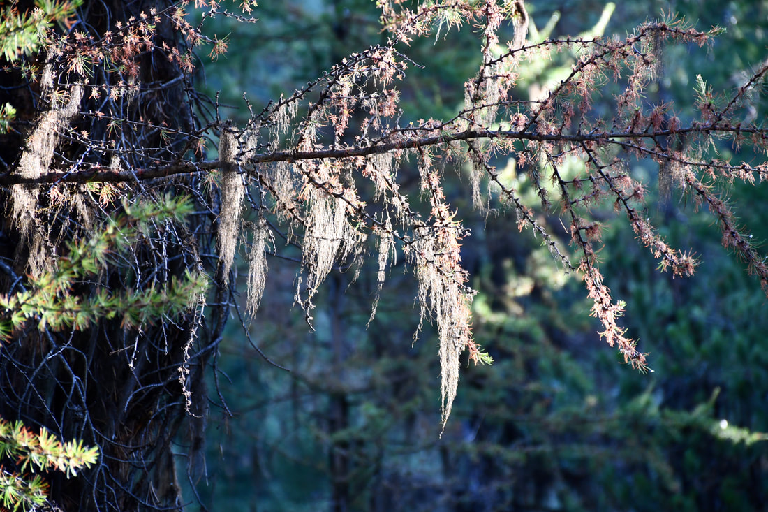
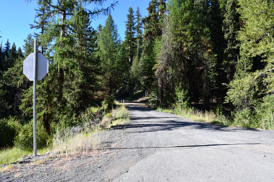
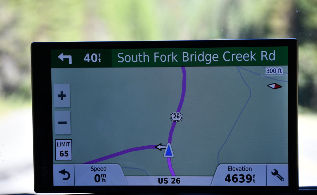
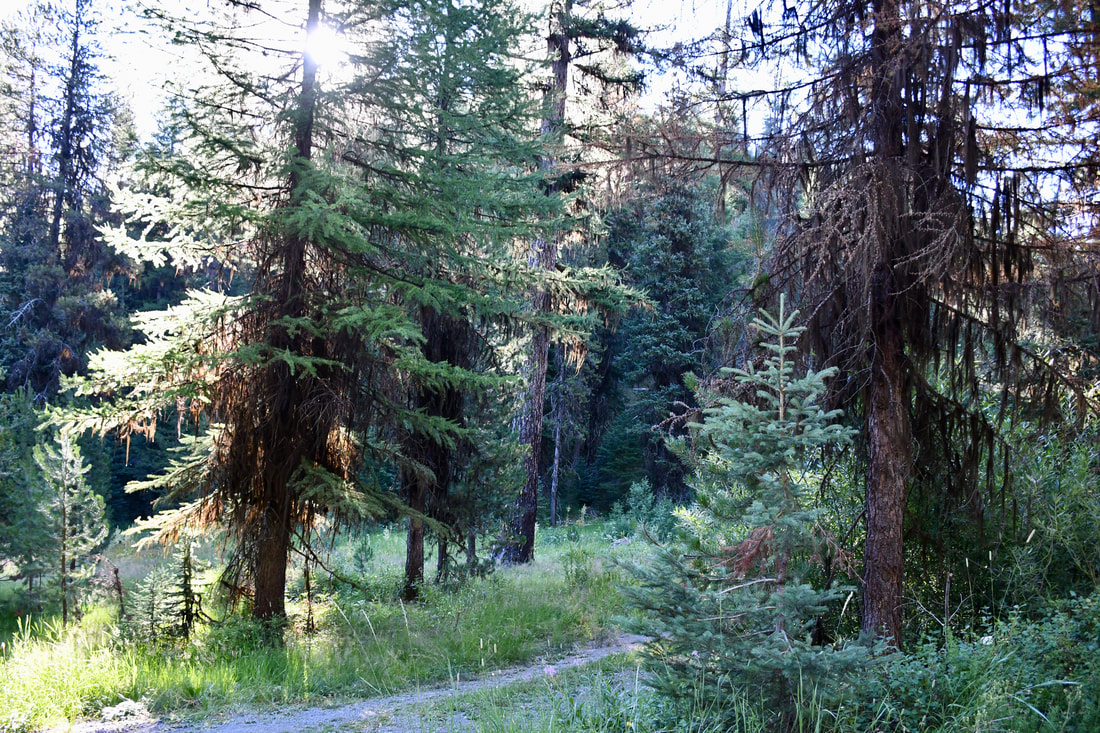
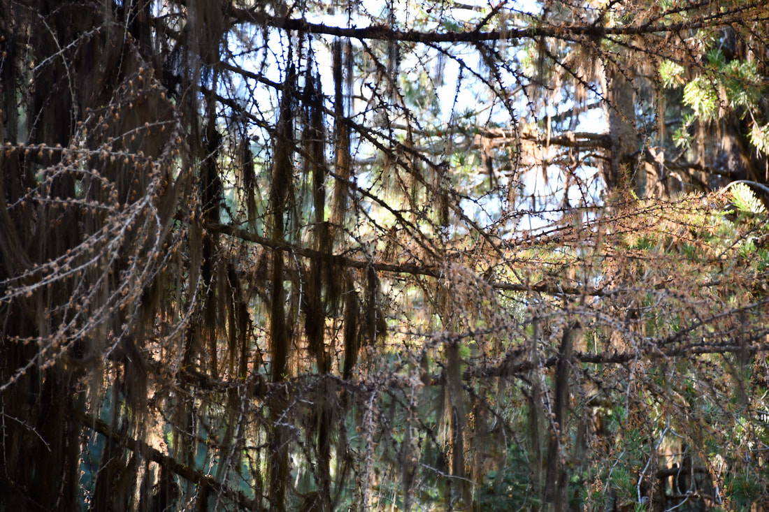
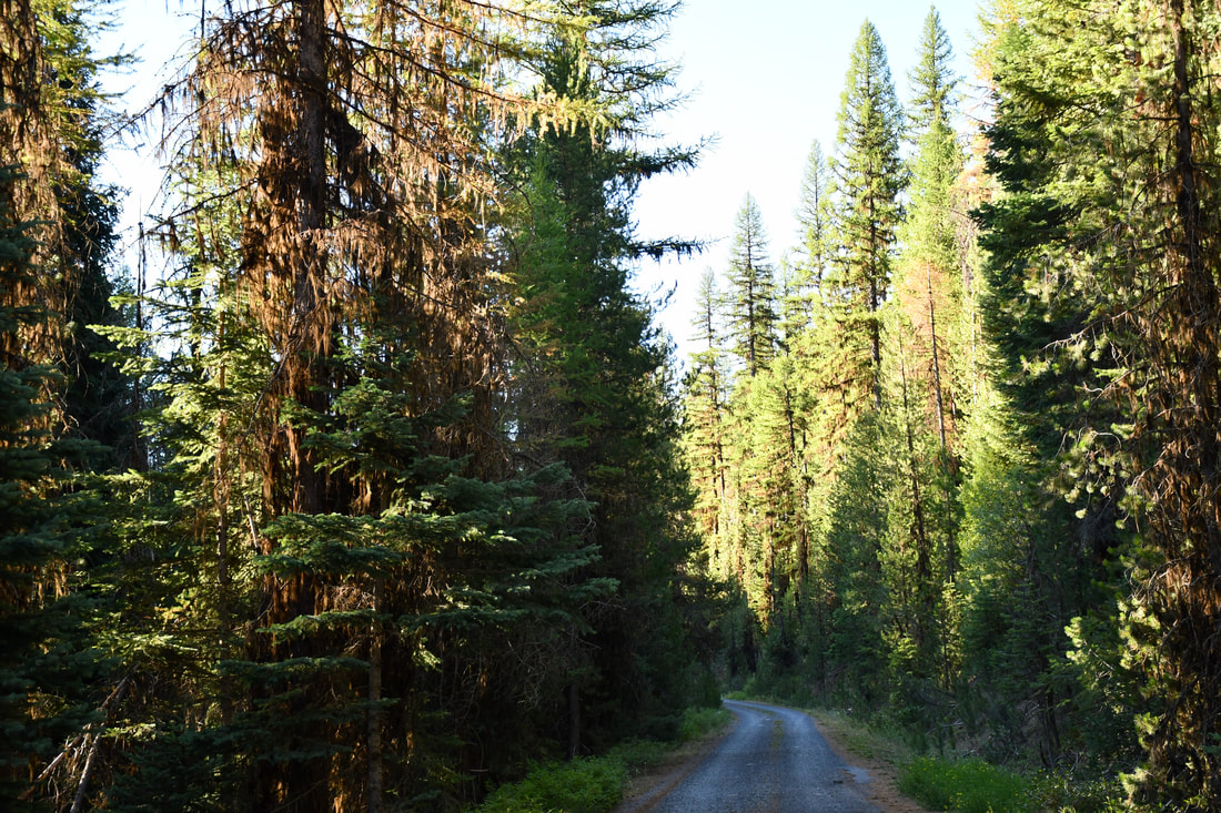
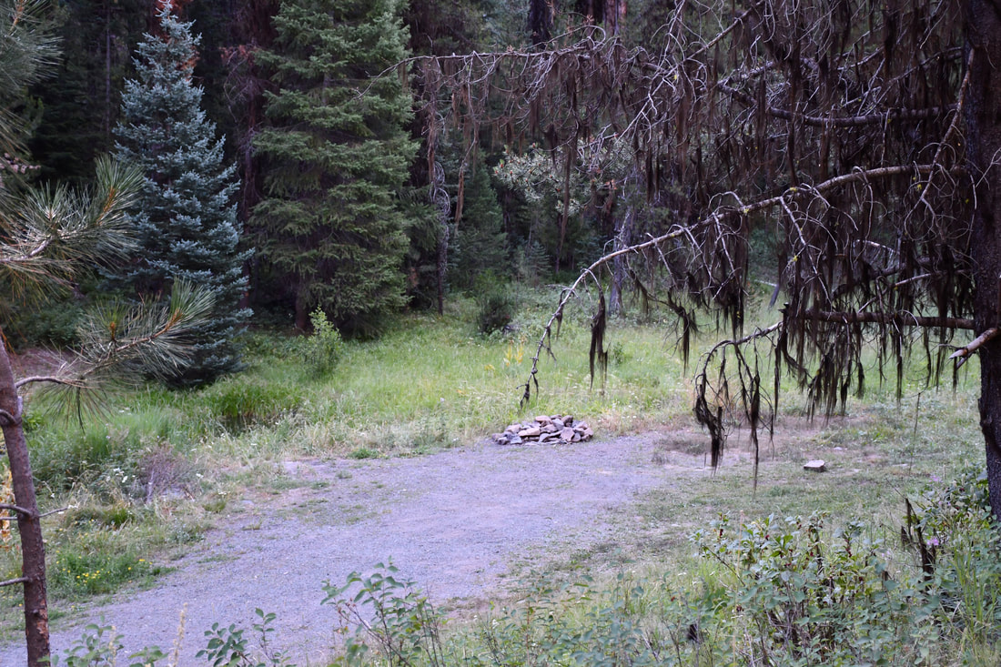
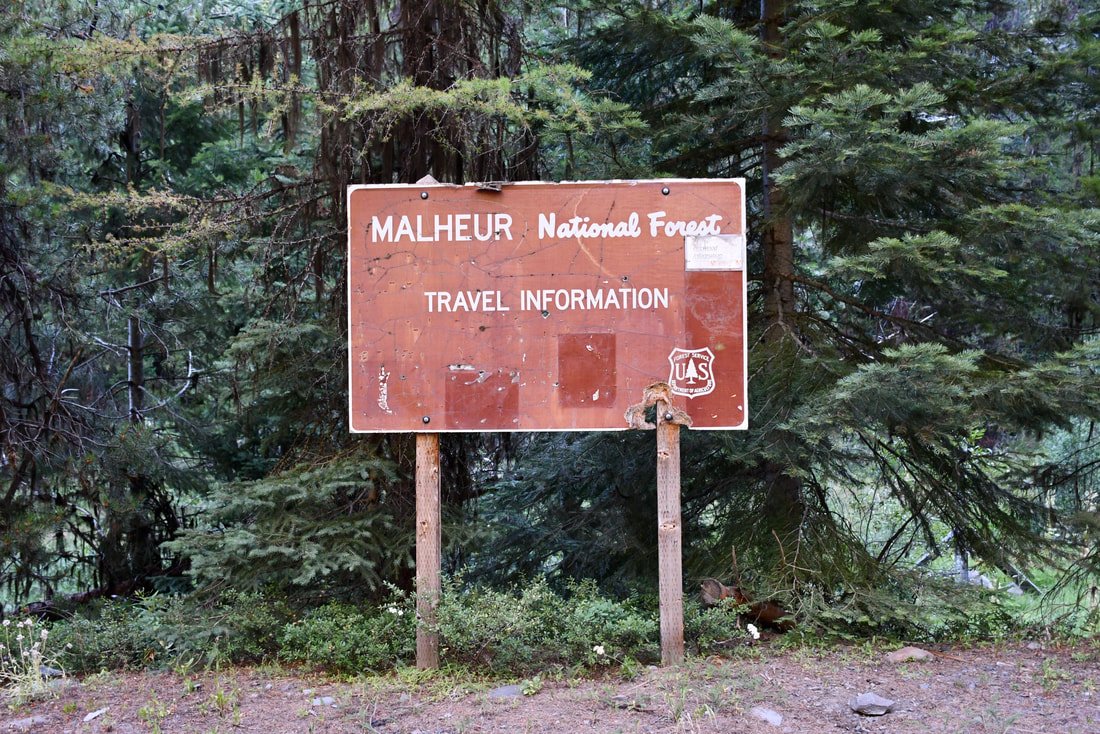
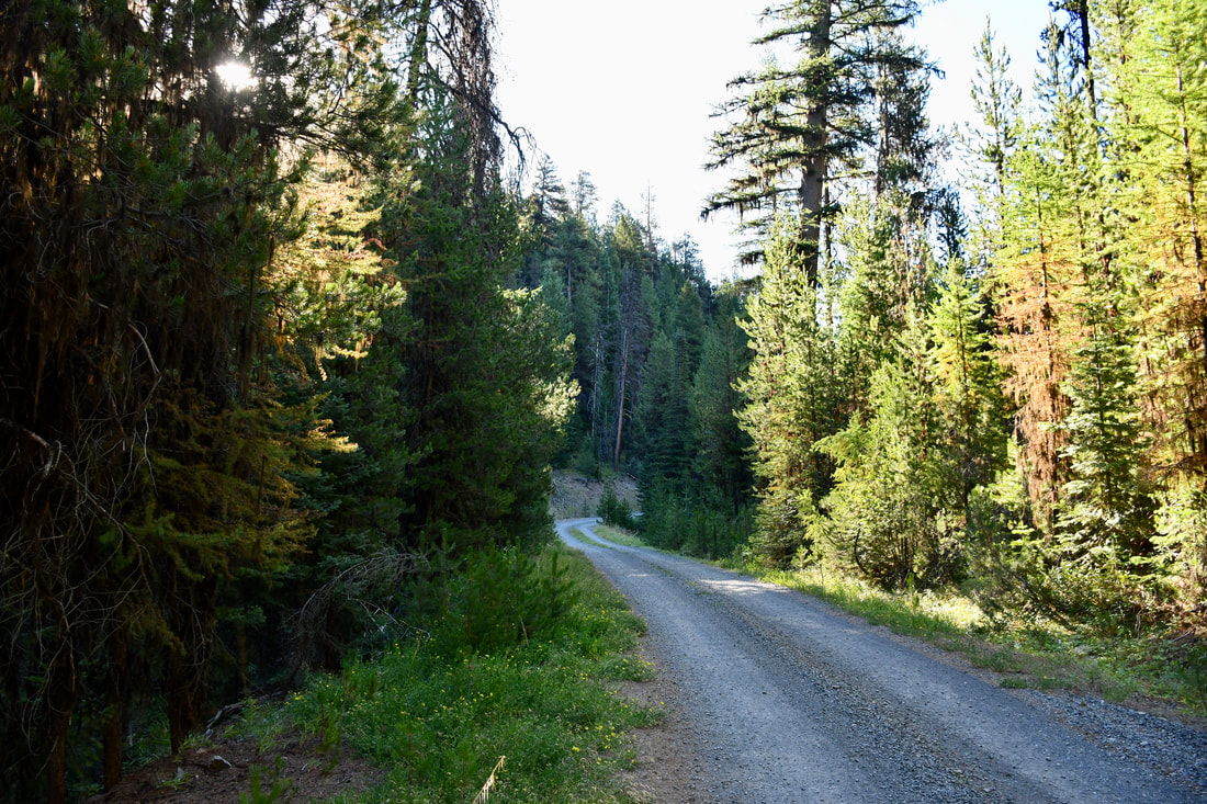
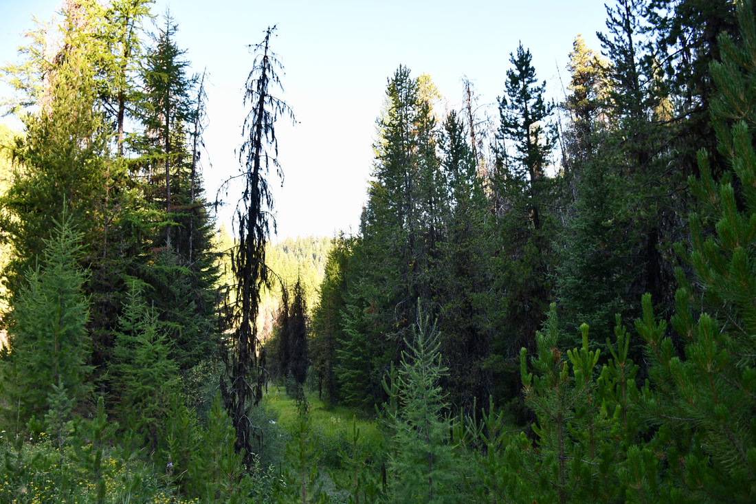
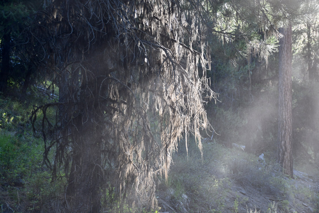

Instead of trying to live the city apartment lifestyle during the 2020 Covid Pandemic, I decided to do an isolation camping tour of the west. The goal was to go to as many of the least populated destinations as possible, in order to avoid contact in big crowds, like those found in the National Parks. Most of the planned destinations were in National Wildlife Refuges, National Forests and BLM Public Lands, which rarely make the front page of the proverbial motel room travel brochures. Seeking free places to camp was also a high priority, since unemployment was rampant and there was no way of knowing how thin the budget had to be stretched. Seeking free camping areas quickly became a pastime during my Covid isolation trip and there actually was a method to the madness. There are several free camping websites to choose from on the internet, which made it easy to find leads. The free camping websites all have flaws and inaccuracies, while the user comments often are the only material to refer to. Some of the free camping destinations are like a roll of the dice, so one never knows if the campsite will be pure paradise or a burnt out hunting shelter next to a county dump. A lot of seasonal hunting campsites are also mistakenly listed as free campgrounds, which can really bring the uninitiated very deep into the woods. Such was the case with my South Fork Bridge Creek Road free camping search venture, which actually turned out to be an interesting event. Basically, the internet description mentioned a roadside area for tent camping in the Malheur National Forest and that was about it. The GPS coordinates were all I relied upon, which were questionable from the start. There was only one way to find out if the venture was worth it, so down the long dirt road I went. After going about 100 yards down South Fork Bridge Creek Road, it was easy to see that a free camping website user entered data for a hunting campsite, since that was all that could be seen from the roadside. Just for the fun of it, I continued traveling on South Fork Bridge Creek Road just to see what lies ahead. The road was like a tunnel through the towering pines and a hawk actually was hunting ahead of the vehicle as I cruised real slow. Soon the road started going uphill and the road condition changed from having multiple tire tracks to none at all. This section of South Fork Bridge Creek Road was overgrown and it looked as if it was used about once per year, so this definitely was a hunting route. A mile or two further revealed a high elevation meadow slope that looked perfect for staking out big game, which confirmed the notion. The pieces of the puzzle all came together during the South Fork Bridge Creek Road free camping search and for anybody interested in hunting or photographing wildlife, this little nook in the deep woods is worth noting. South Fork Bridge Creek Road is located along State Road 20 in the Malheur National Forest, but finding the exact location will be a challenge, since I neglected to log the GPS coordinates. A visit to a Malheur National Forest Ranger Station will provide all the answers along with more dispersed camping suggestions, which will likely be far better than rolling the dice at an internet free camping website!
0 Comments
Your comment will be posted after it is approved.
Leave a Reply. |
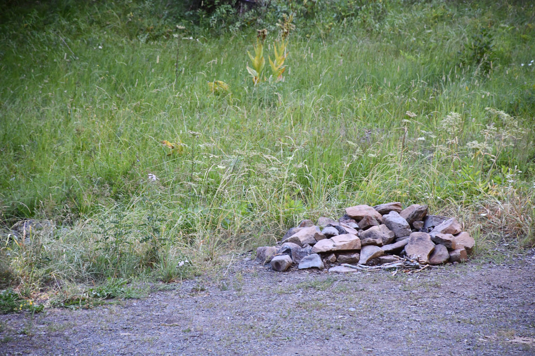
Leave no trace!
New!
Destination West YouTube channel! https://www.youtube.com/@DestinationWestOrg *The Destination West website upgrading project is well underway. Unique YouTube slideshows are replacing the outdated Flickr photo galleries. The new videos feature modern graphics and alternative music instrumentals that enhance the viewing experience. Some articles are being condensed, while others are getting much needed edits. As everybody knows, the bulk of the original articles and photos were published on the fly during the Covid camping venture and there were limitations. Upgrading is the way to go and more articles will receive a makeover each week until this project is completed. After that, I will be able to gather new material. There is light at the end of the tunnel!
JD Lane Archives
July 2024
|
