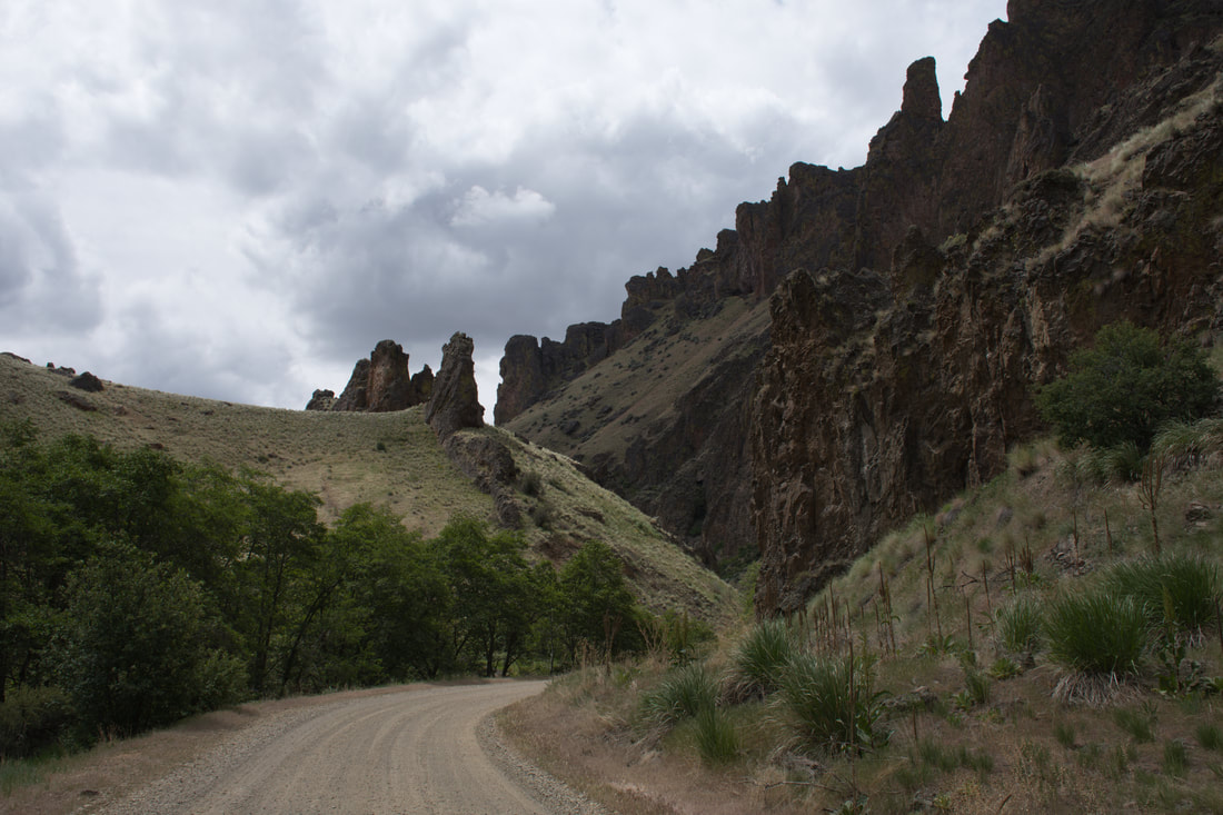
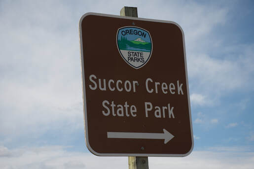
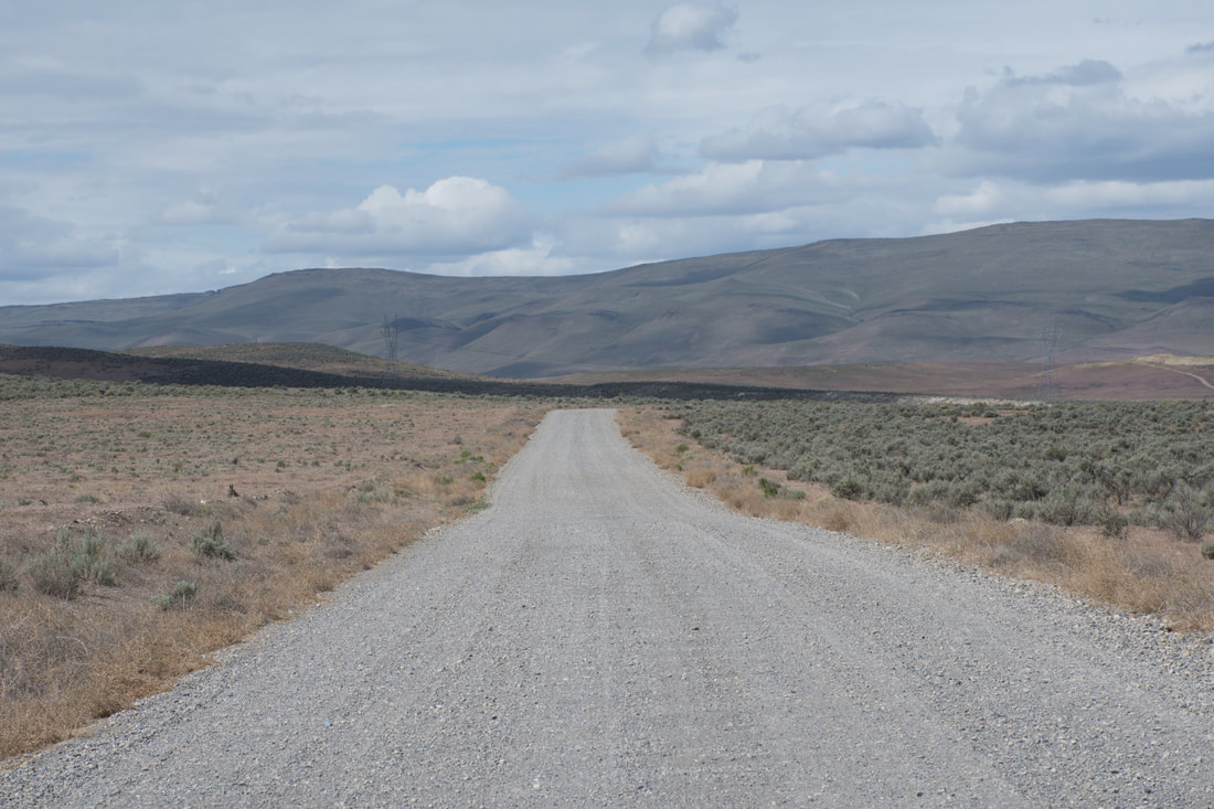
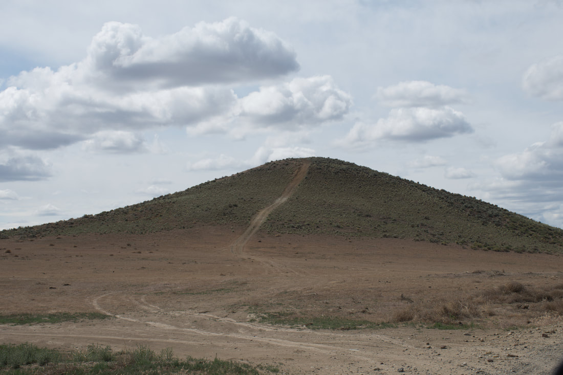
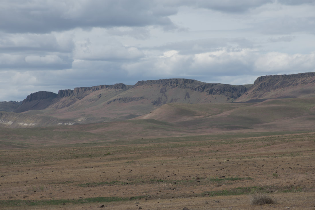
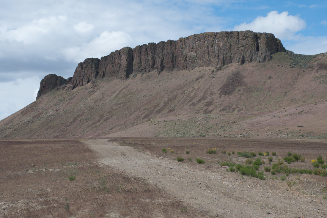
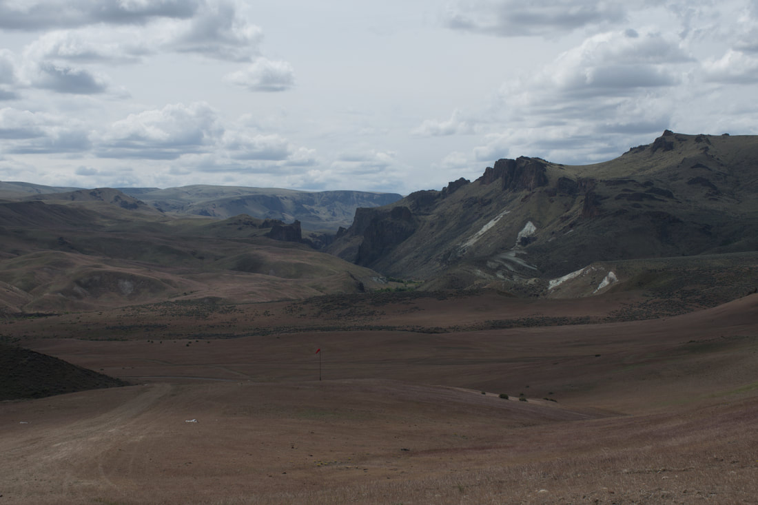
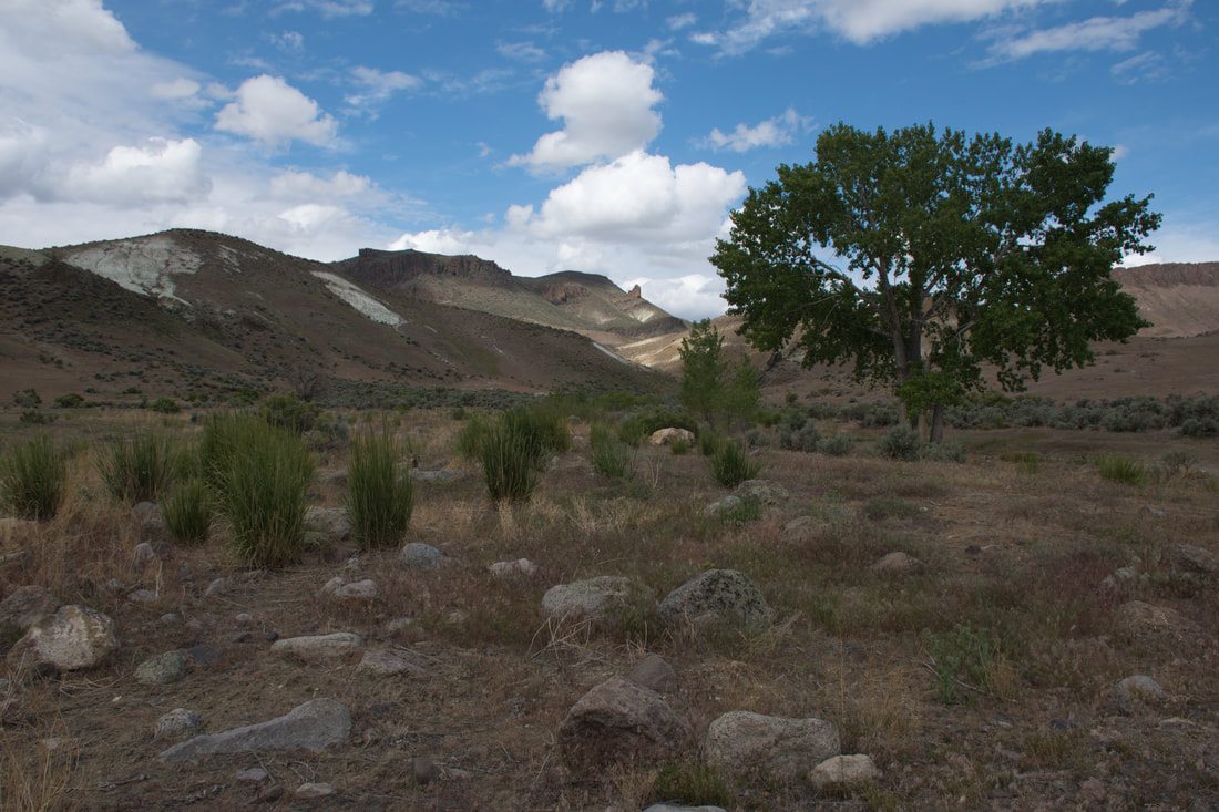
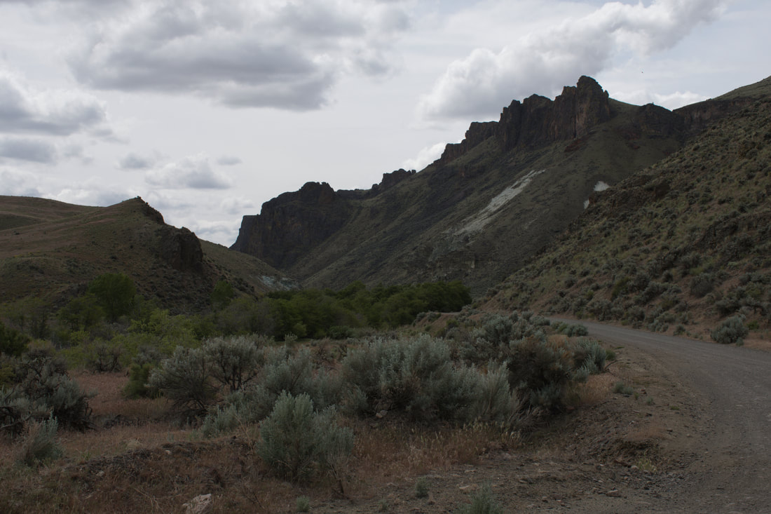
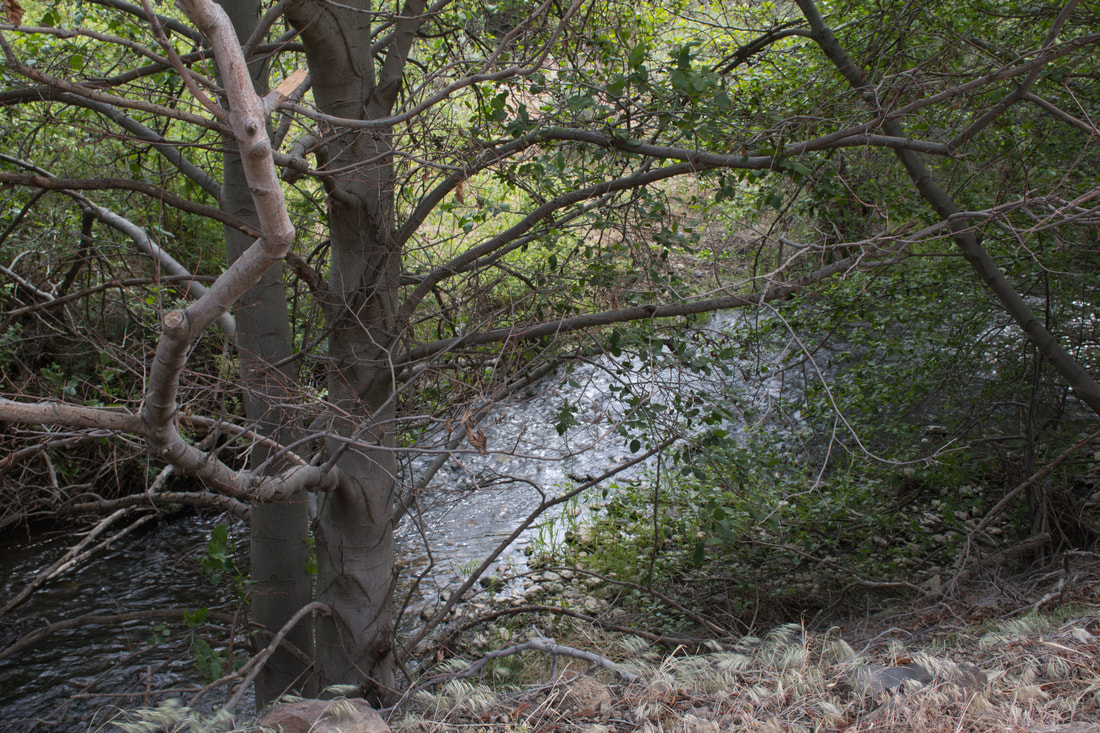
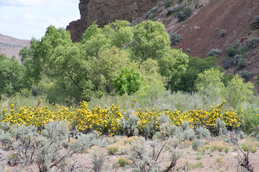
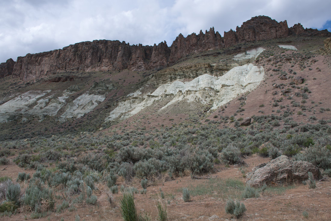
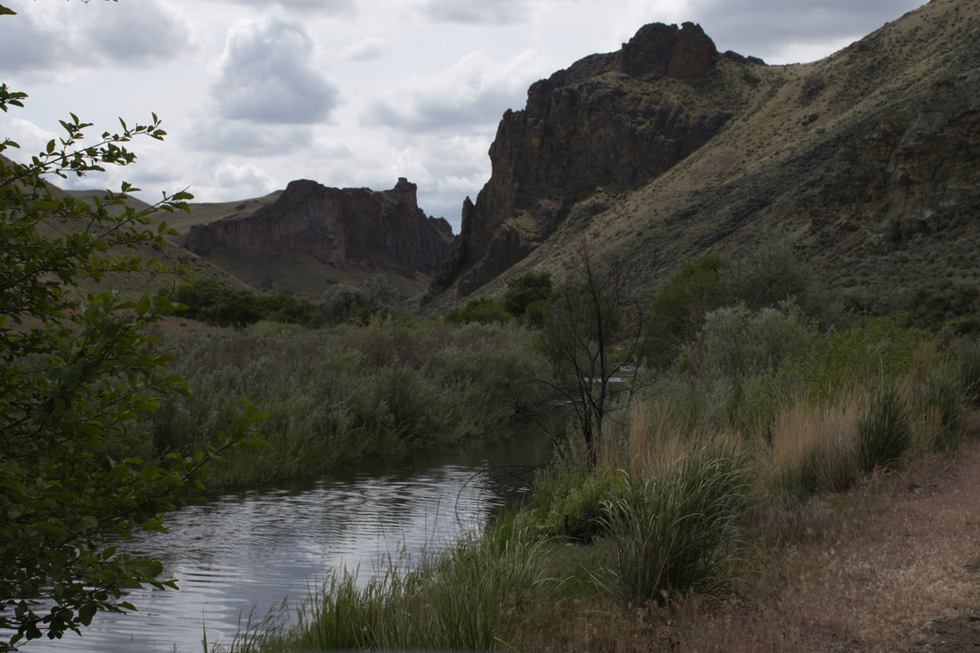
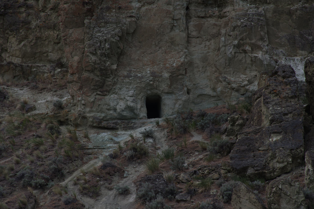
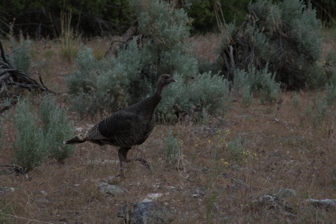
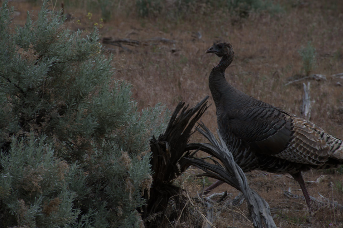
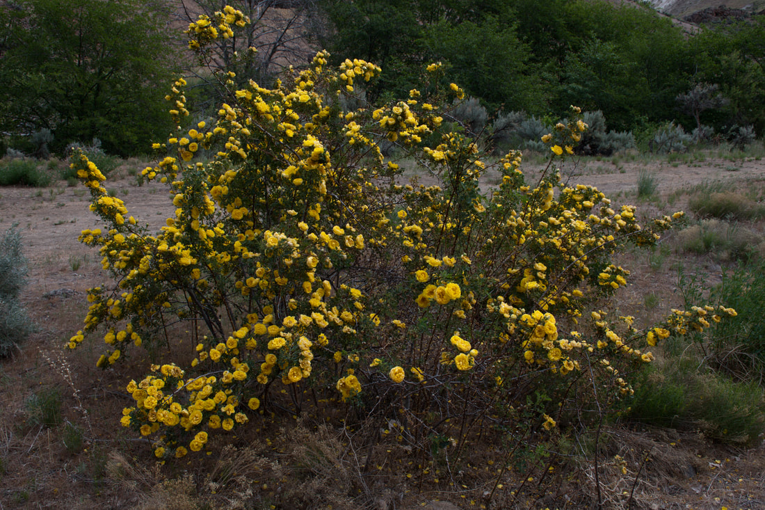
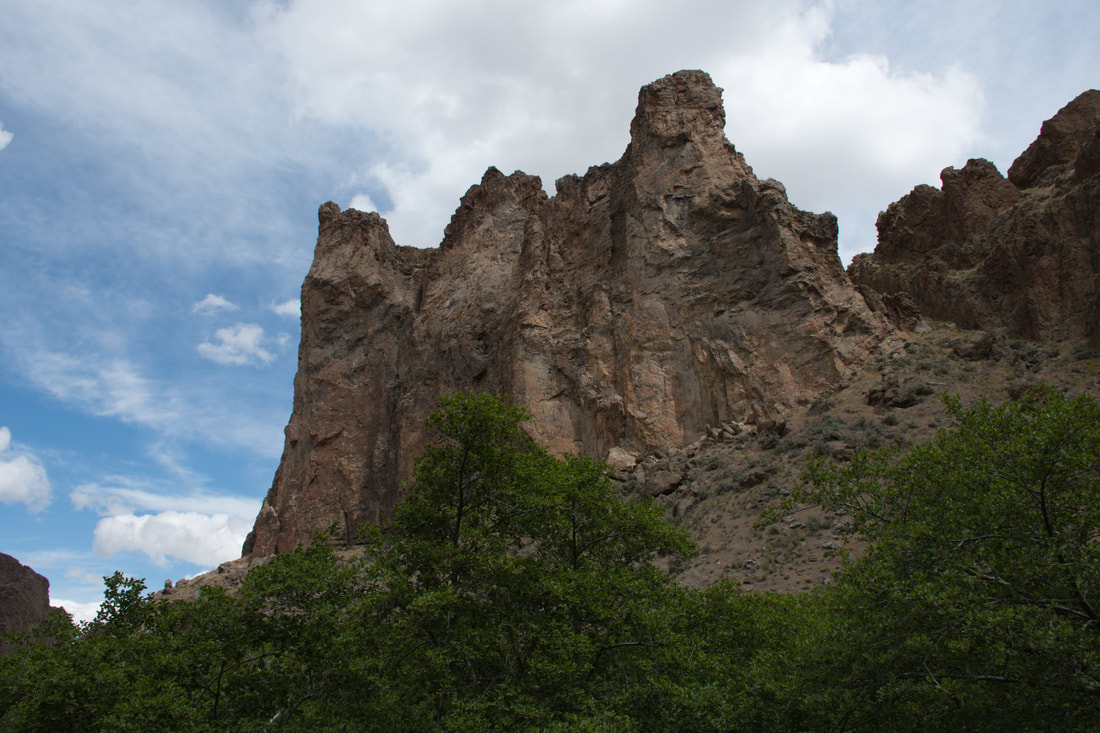
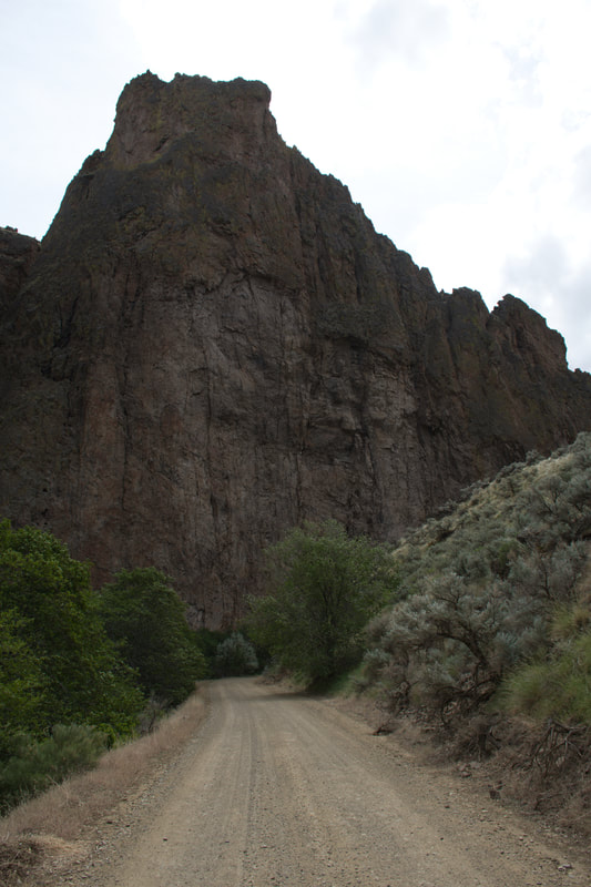
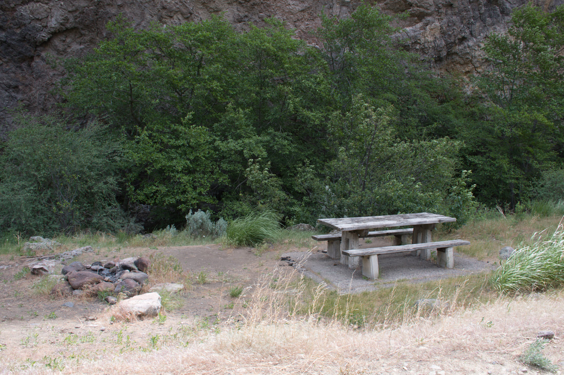
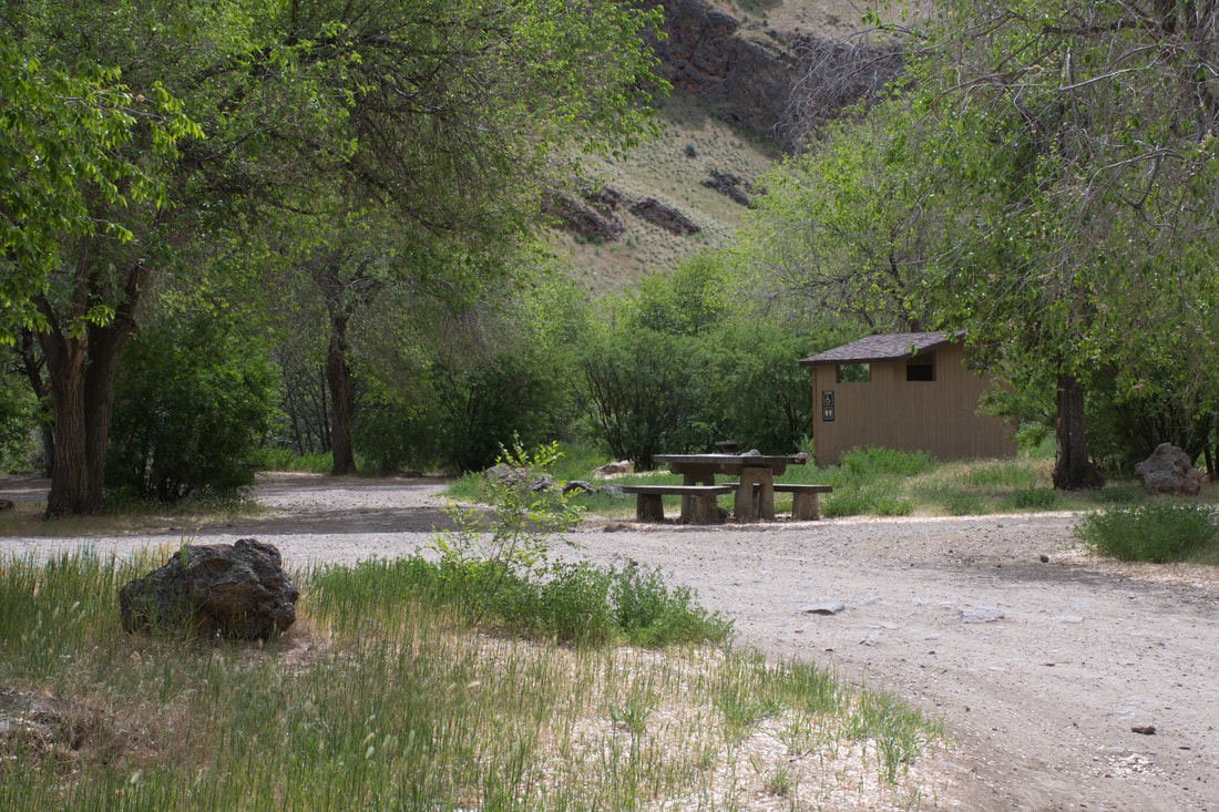
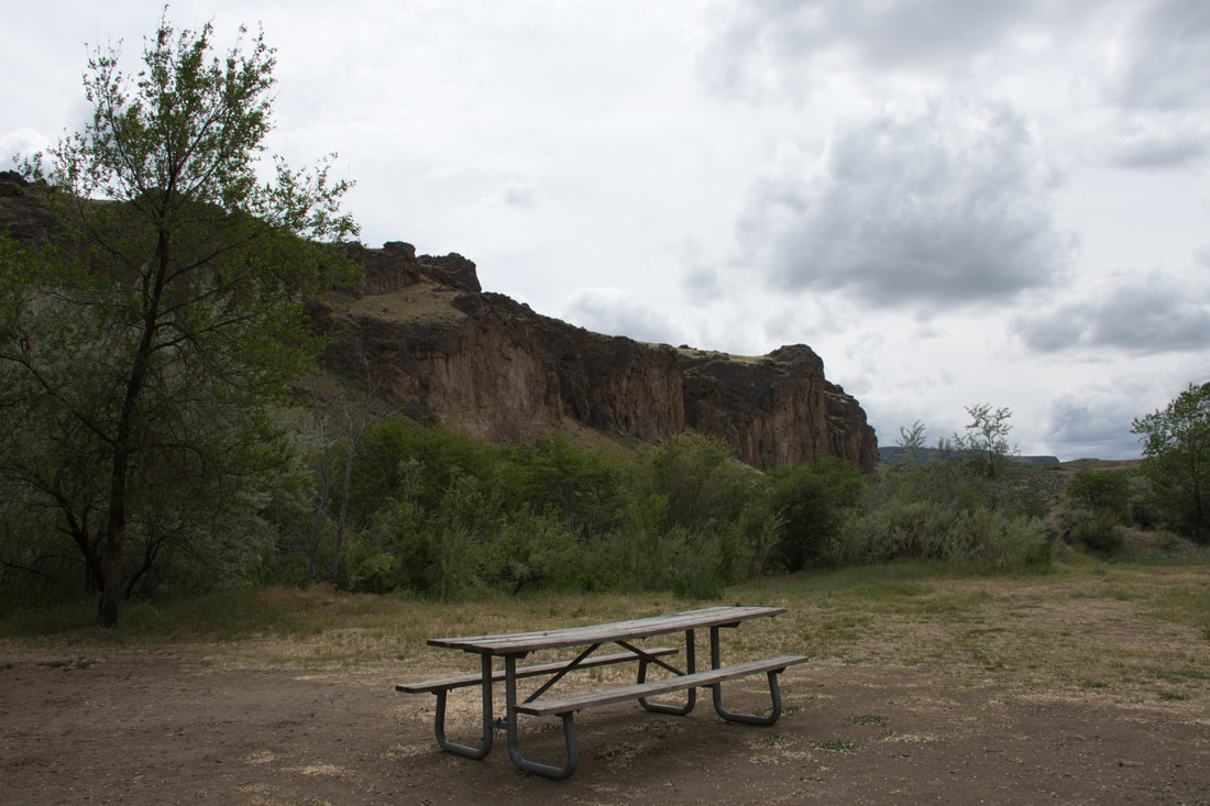
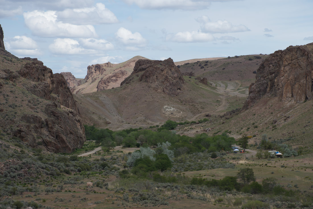
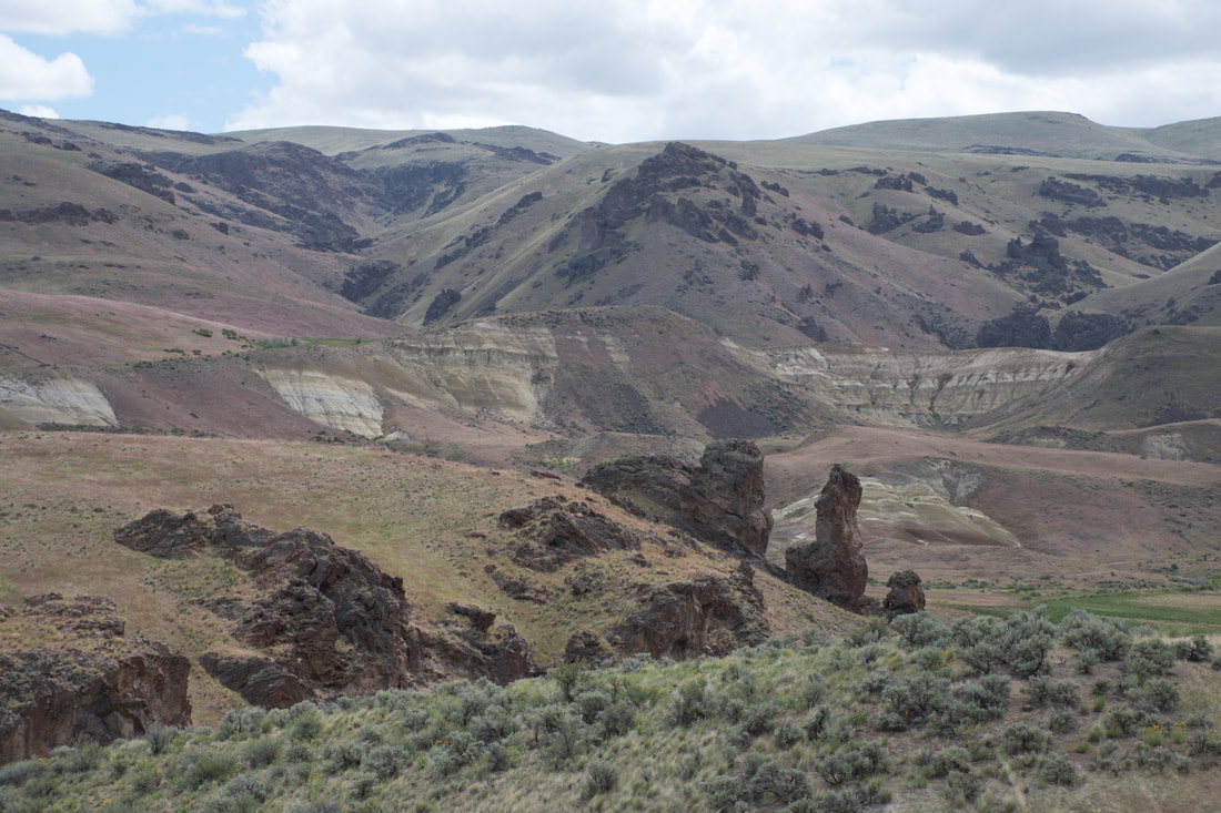
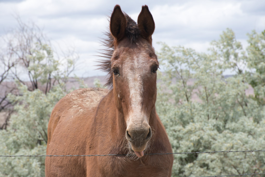
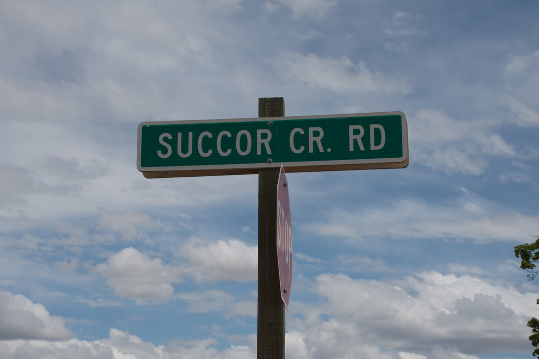
                          Flickr album link: Succor Creek State Natural Area The Succor Creek State Natural Area is a great choice for a summer season destination and half the fun is just getting there. This state park is located in eastern Oregon between Lake Owyhee and the Idaho border. Highway 95 runs nearby, but the dirt roads coming from this direction are rough going through the mountain passes. The smoothest route actually is Succor Creek Road, which begins near the north end of Lake Owyhee and it meanders its way south through a vast conservation area to the mouth of the Succor Creek Canyon. There are plenty of dirt trails to explore in the BLM territory along the way and dispersed camping is allowed throughout the rolling grassy hills. Pronghorn antelope graze in this region, so be sure to pack a camera for the ride! The northern route into Succor Creek is smooth enough for trail rated RV campers and trailers, A rugged suspension and having the 4x4 option will definitely help smooth out the bumps, but if rain is in the forecast it is best to call the trip off. Upon arrival the terrain dramatically changes from rolling hills to towering buttes, rock outcrops and a narrow deep canyon where Succor Creek flows. The tall rock spires and sheer vertical canyon walls impart an ominous look, yet this state natural area is as peaceful as can be. There are several meadows where wildflowers bloom and the wetland areas are teaming with life, while wild turkeys can be heard clucking in the shadows. The creek flows gently through this canyon and plenty of shade trees can be found by the waterside. There are several primitive campsites to be found along the dirt road through the canyon. Near the end of the line is a developed campground and a day use area complete with basic facilities and picnic tables, but there is no drinking water. A wooden bridge is located next to the picnic area that offers a chance to explore the trails on the east side of the park. Succor Creek Road continues south to a steep uphill climb that goes a perch which overlooks the entire canyon. Venturing to this overlook is highly recommended and the dirt roads that go through the challenging mountain passes to the highway begin here. This is a very remote area with no cel phone coverage, so a dedicated mapping system will be needed for navigating. The mileage really adds up quickly in this desolate region, so fuel management will be critical. Be sure to stock up heavy on supplies, because the Succor Creek State Natural Area is one of those majestic places that you will not want to leave any time too soon!
0 Comments
Your comment will be posted after it is approved.
Leave a Reply. |
Leave no trace!
New!
Destination West YouTube channel! https://www.youtube.com/@DestinationWestOrg *The Destination West website upgrading project is well underway. Unique YouTube slideshows are replacing the outdated Flickr photo galleries. The new videos feature modern graphics and alternative music instrumentals that enhance the viewing experience. Some articles are being condensed, while others are getting much needed edits. As everybody knows, the bulk of the original articles and photos were published on the fly during the Covid camping venture and there were limitations. Upgrading is the way to go and more articles will receive a makeover each week until this project is completed. After that, I will be able to gather new material. There is light at the end of the tunnel!
JD Lane Archives
July 2024
|
