|
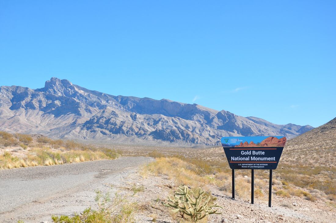
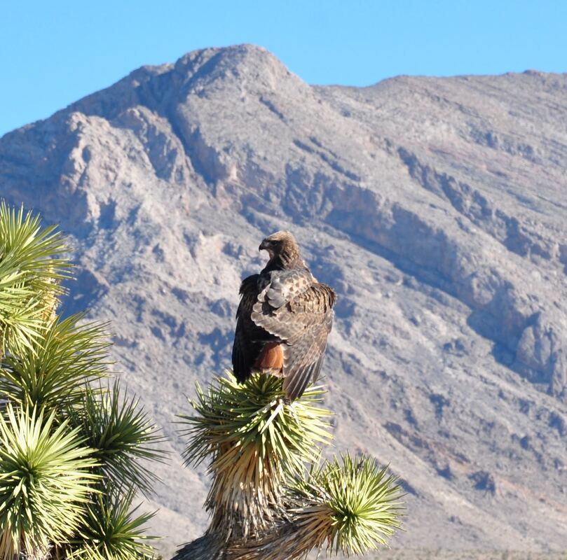
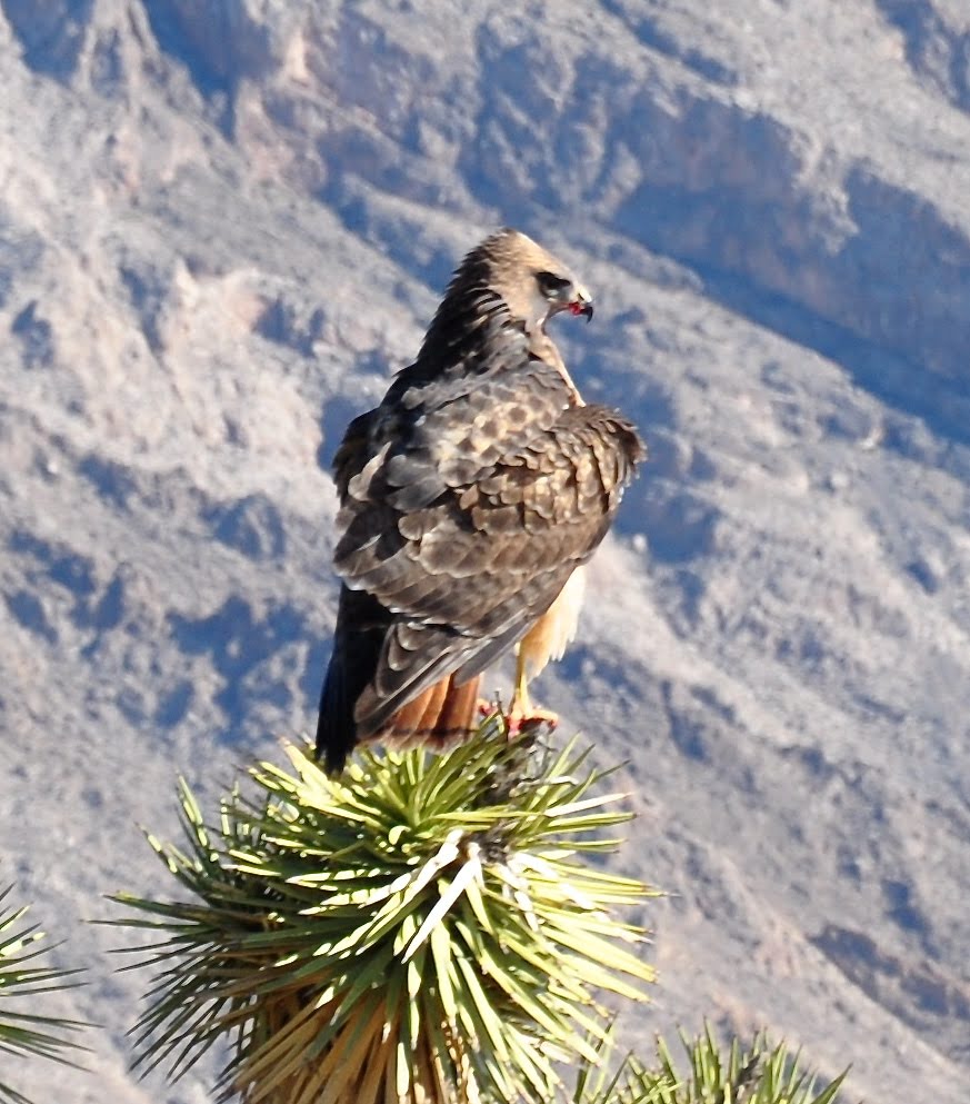
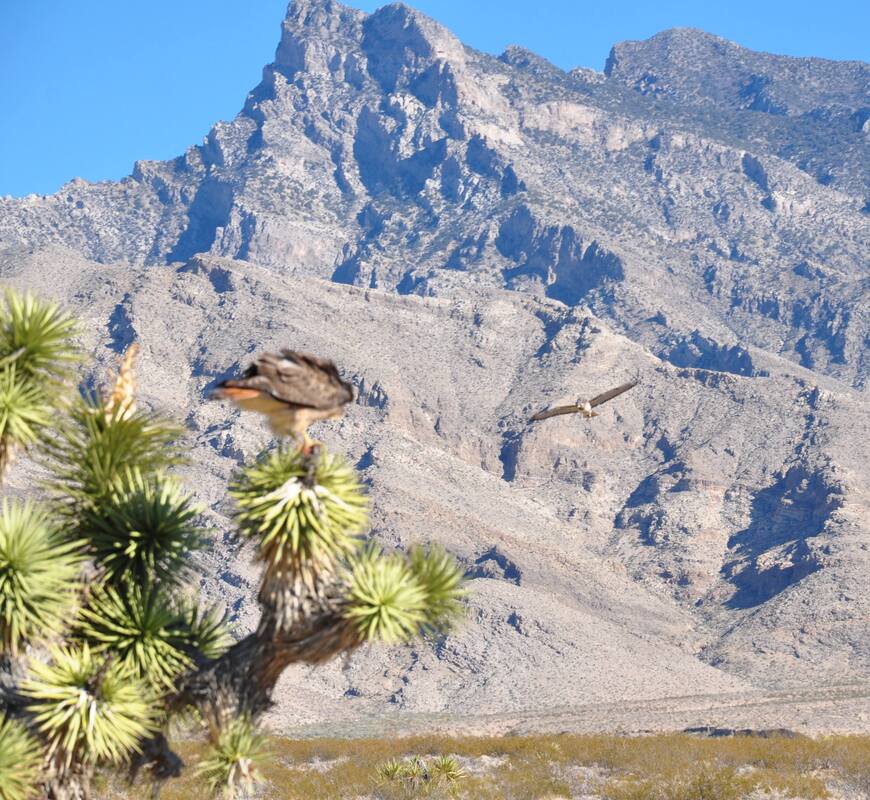
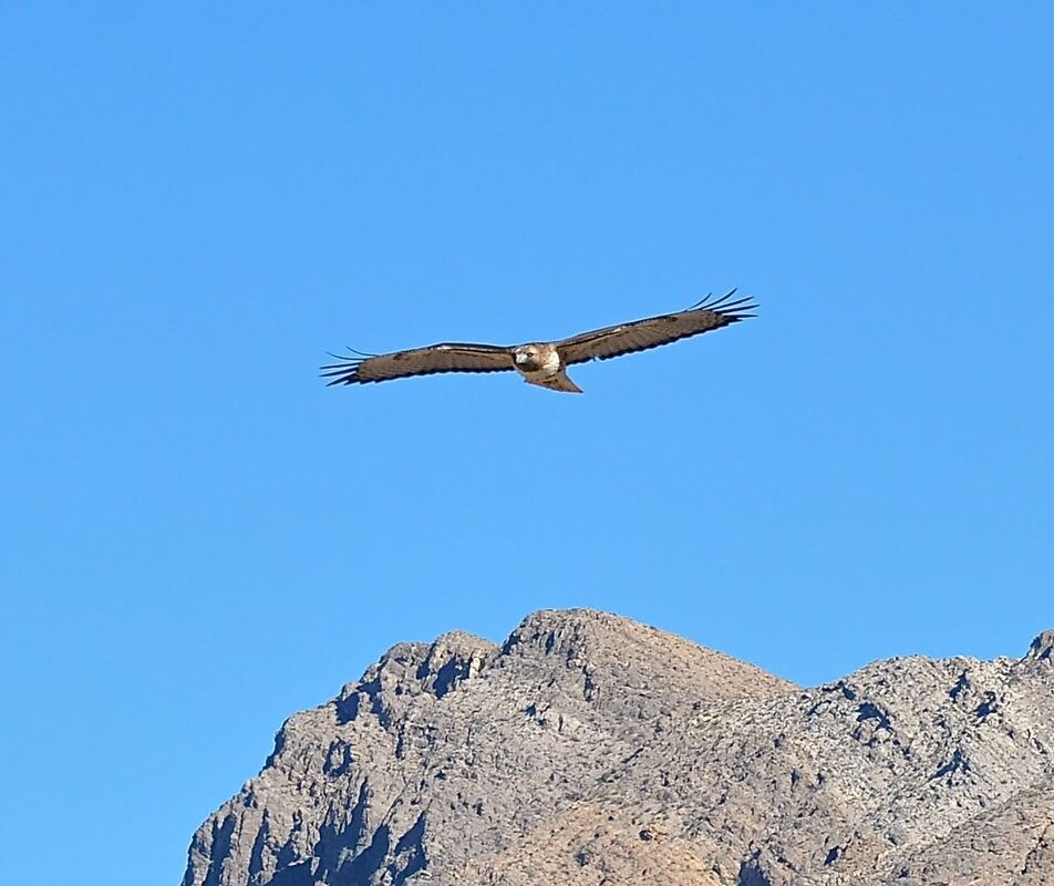
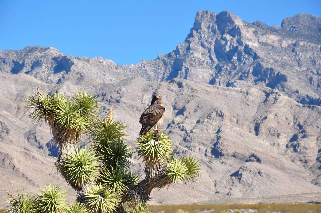
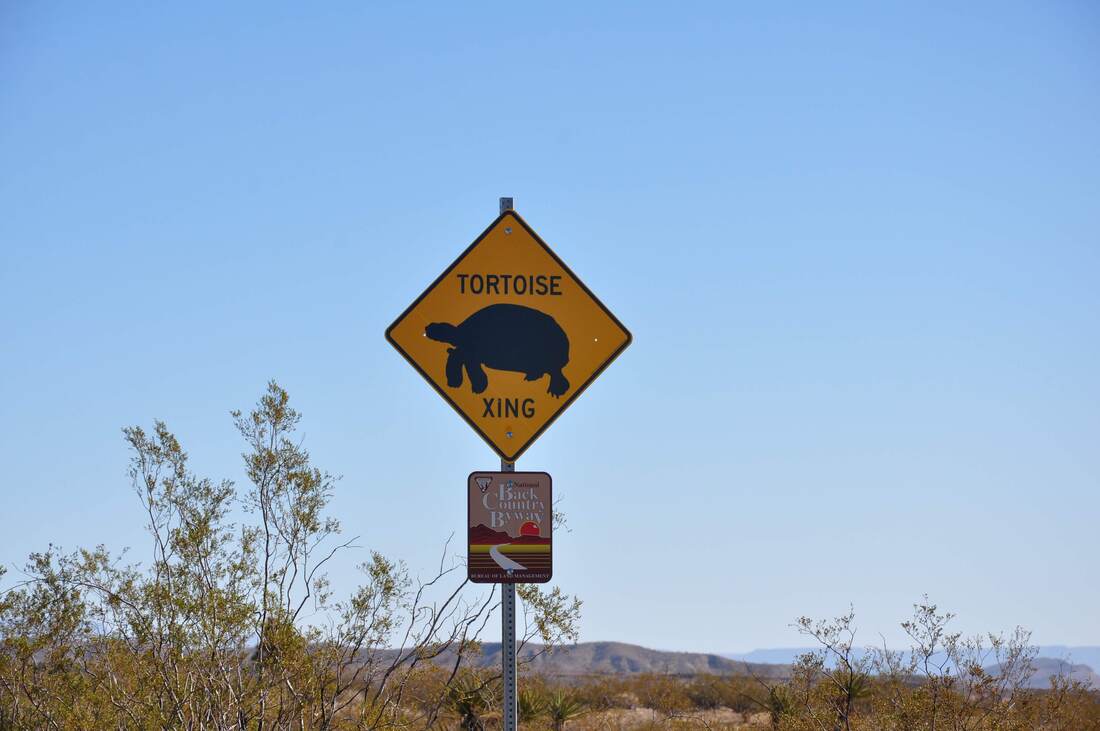
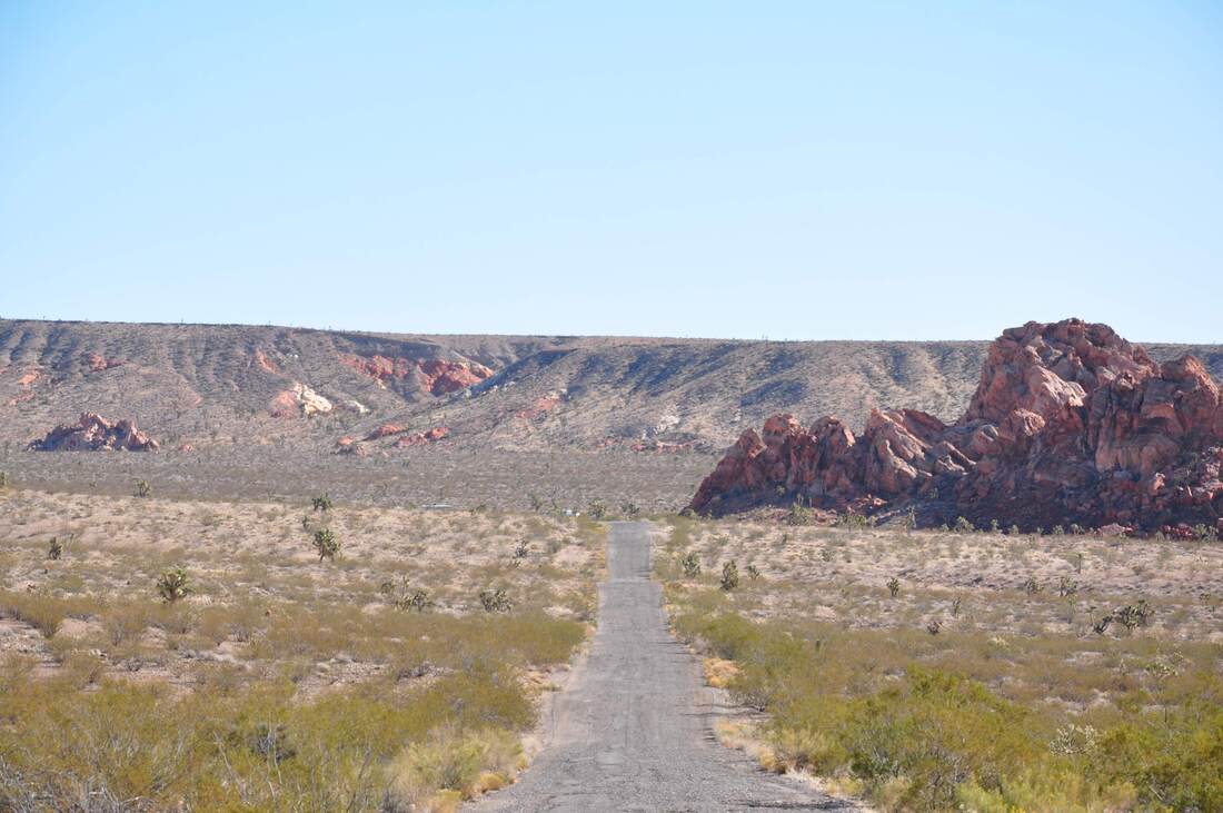
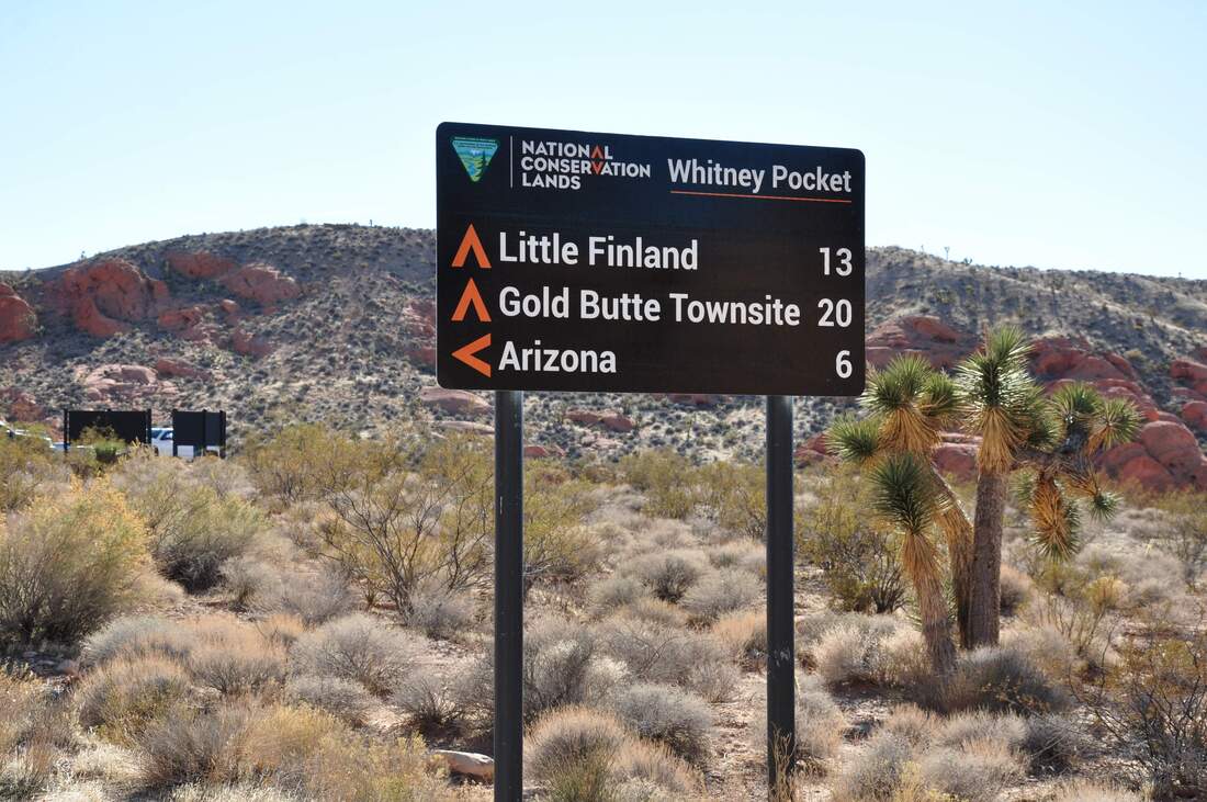
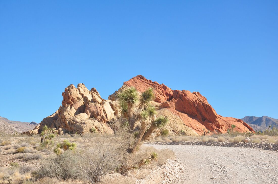
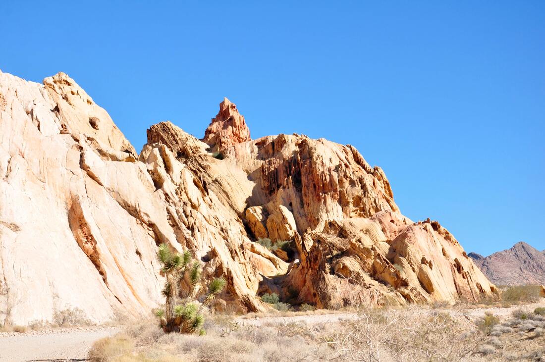
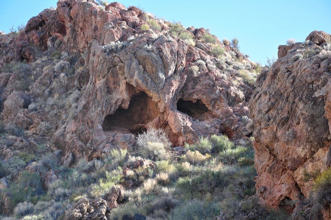
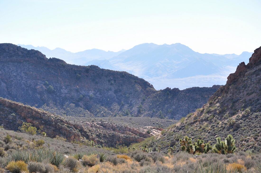
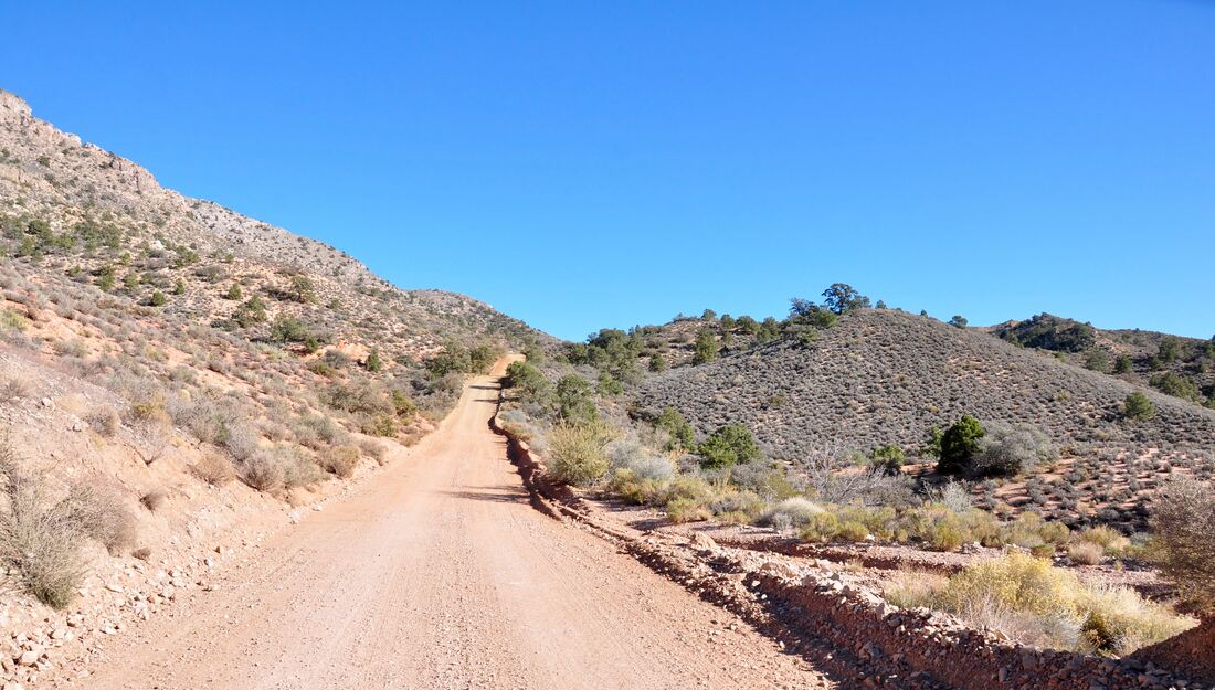
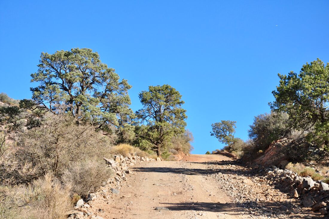
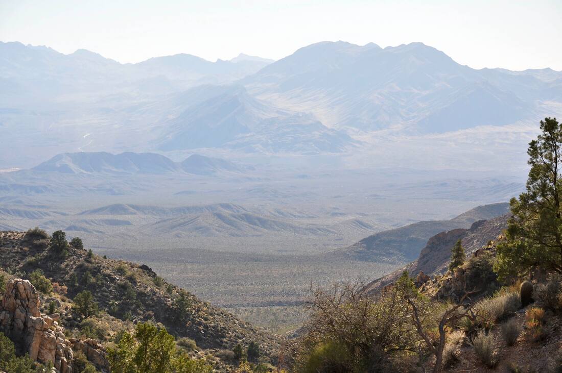
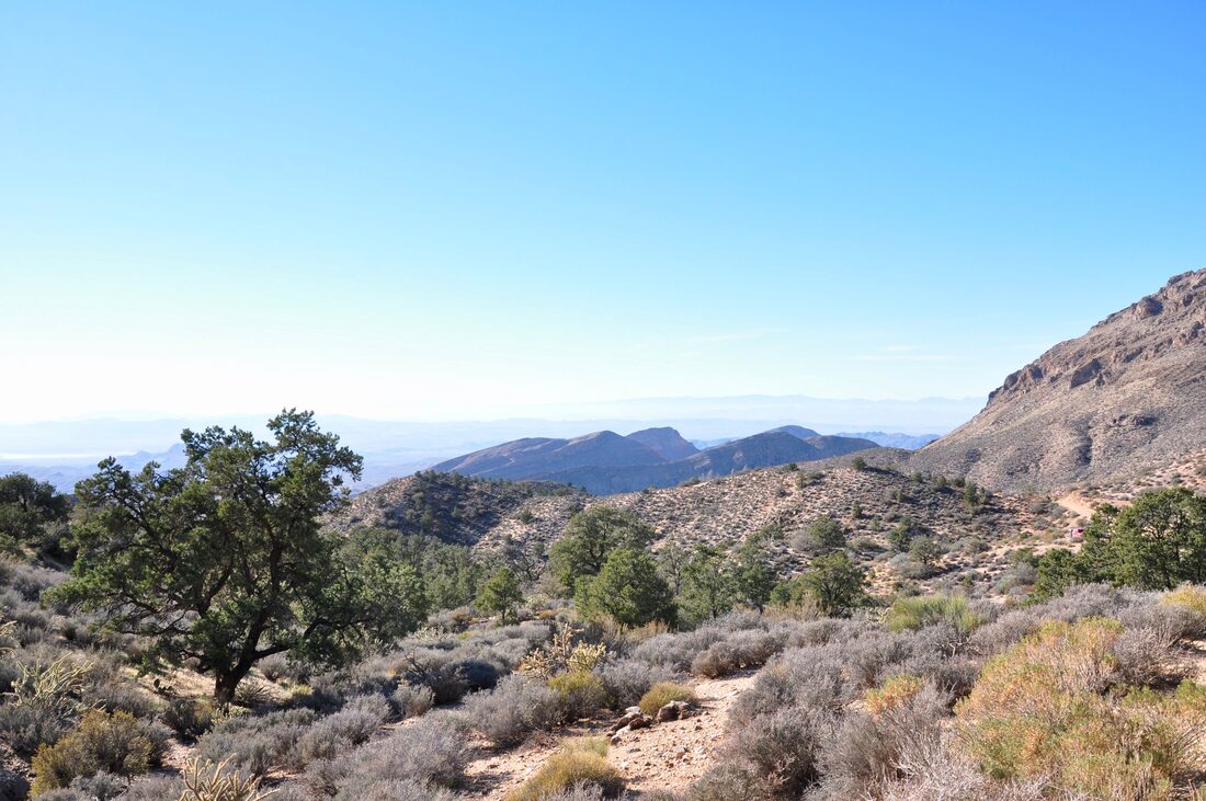
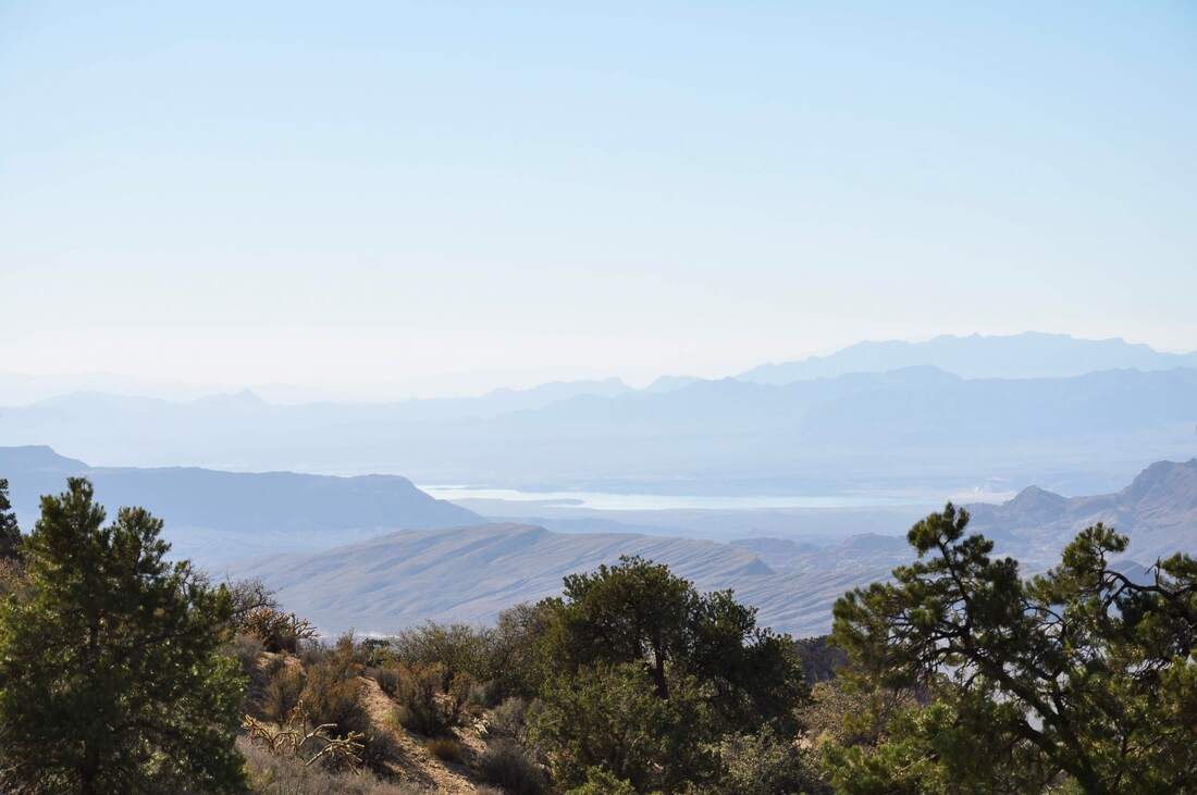
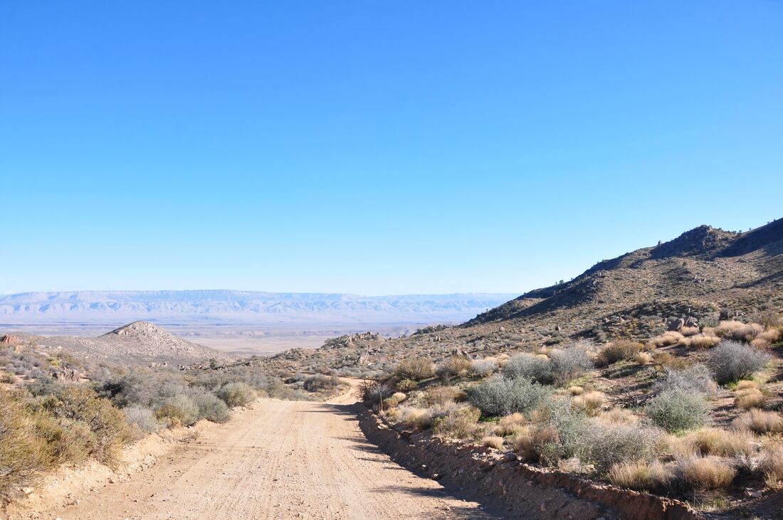
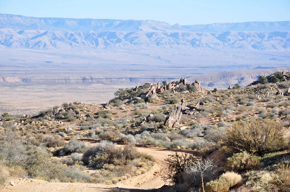
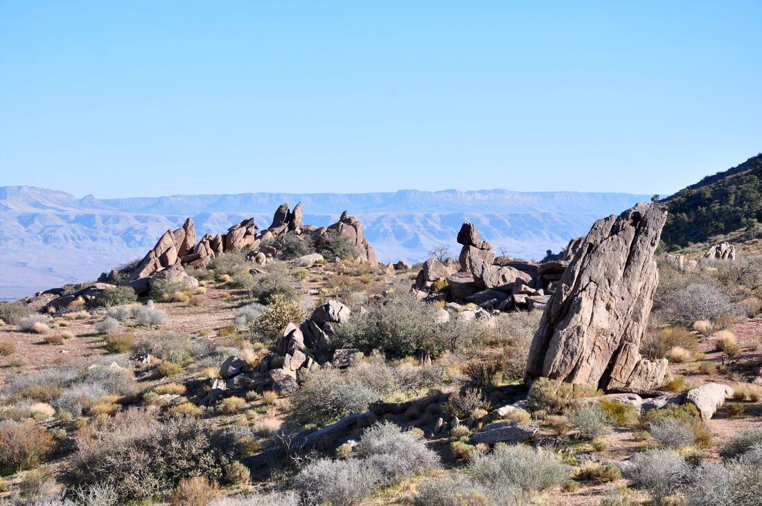
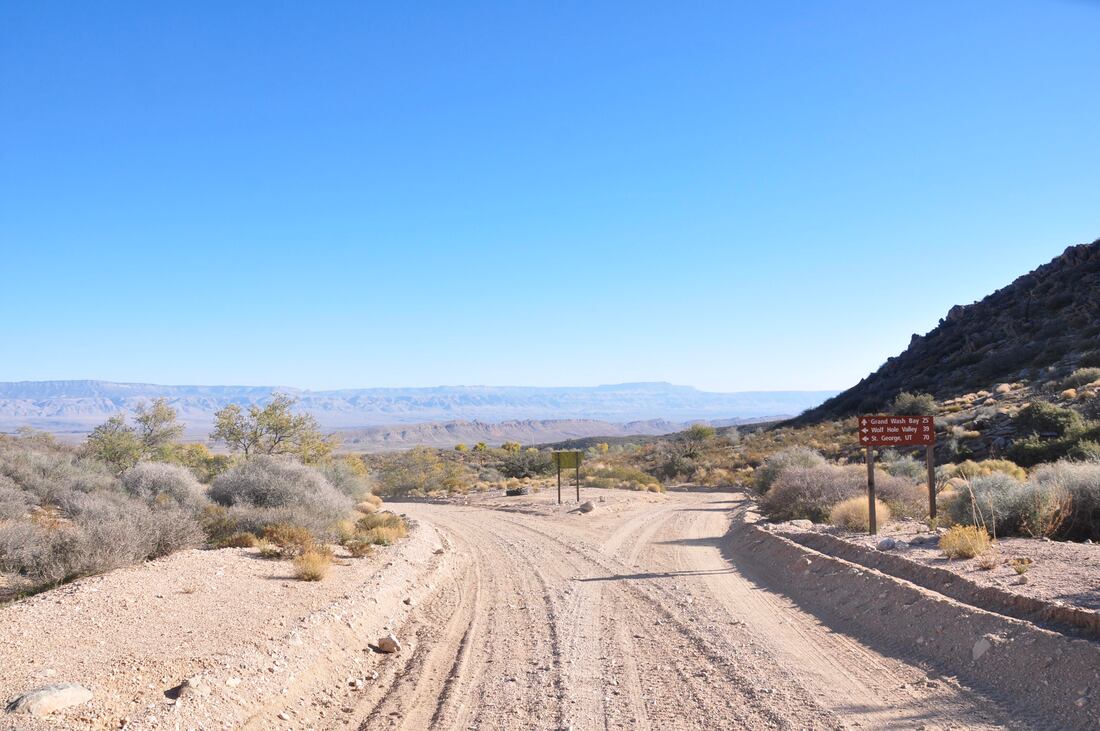
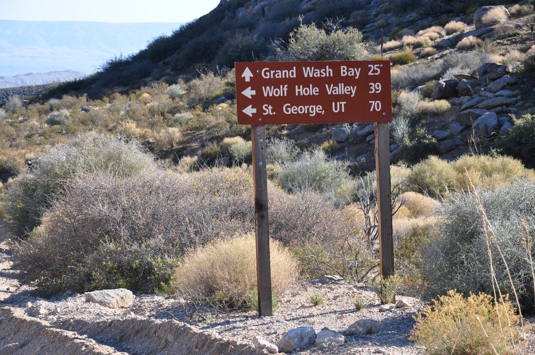
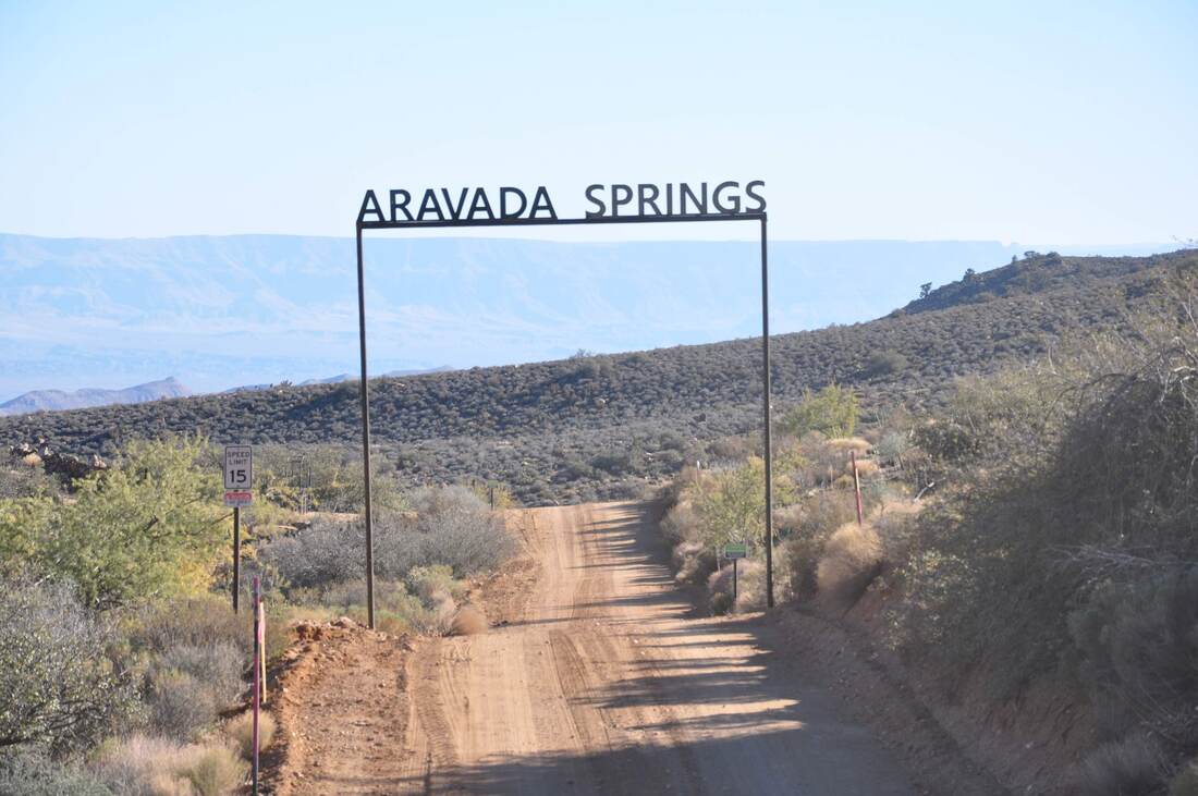
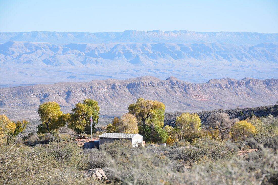
Some folks stick with only touring the paved roads, while others prefer taking the rough dirt roads to places that are as far away from civilization as possible. In the vast expanses of the American west, the paved roads will only take you to about 30% of what lies out there, so those who have a capable off-highway vehicle can experience much more. The scenic back country byways of the west go to destinations that are rarely featured in tourism brochures or newspaper weekender editions. Overcrowding is rarely a problem and there are more opportunities to enjoy Mother Nature in all her glory. There are only the dirt road trails that stretch out to the horizon, wildlife and scenic views that few others have ever seen, which sounds like a dream come true for those who live for adventure! Several articles about Gold Butte National Monument have been published in this website. In the previous Gold Butte articles, everything from where to rent a 4×4 vehicle to emergency preparedness is mentioned. Nothing should be overlooked or taken lightly when planning a long off-highway excursion, because some of the Gold Butte and Grand Canyon Parashant Jeep trails can be well over 100 miles long. Getting stuck way out in the middle of nowhere with little hope for rescue can pose a dangerous situation. Getting lost in the maze of unmarked dirt roads in this desolate region can also result in fits of sheer panic. Planning and preparation are the best ways to avoid these situations, so be sure to take the time to thoroughly assess the vehicle condition, stock up the supplies, check the equipment and sort out the navigation tools before setting sail, because the lives of the passengers depend on it. Today’s dirt road driving venture certainly goes way out in the middle of nowhere to a place where few others roam! The starting point is Whitney Pocket in Gold Butte National Monument and this dirt road driving venture ends at Aravada Springs next to the Arizona Border, where the vast desert wilderness of the Grand Canyon Parashant National Monument begins. Very few people venture into the Grand Canyon Parashant, because it is such a remote place. Navigating the dirt roads through Gold Butte is easy to do, because there is signage in this place. Both the Gold Butte National Back Country Scenic Byway and Whitney Pocket Road can be found in most mapping systems, but it important to remember that there is no cellular phone service in this region. What this means is the smart phone mapping systems will likely leave you stranded, while a dedicated GPS mapping system or a good old fashioned paper map will get the job done. All in all, you do not really need a map to just tour Whitney Pocket Road to Aravada Springs, but you definitely will need a reliable navigation device if you plan to continue on into the Grand Canyon Parashant National Monument. For those who plan to explore the Grand Canyon Parashant, fuel supply management will be a concern. Basically, the rule of thumb is to carry 5 to 10 extra gallons of fuel, if you plan on venturing into the Grand Canyon Parashant. Carrying an extra spare tire is a good idea too, because the roads in the Grand Wash can be hazardous to the health of even the most rugged 4×4 vehicle, especially if it rains. The actual starting point for all Gold Butte National Monument ventures is Mesquite, Nevada, because this is the closest place to fuel the vehicle up. Topping off the tank before heading into Gold Butte is a necessity, because the mileage really adds up to some big numbers. The distance from Mesquite to Whitney Pockets is 31 miles and it is another 6 miles to Arvada Springs, so a round trip will be over 70 miles of miles of slow dirt road driving. The road that runs parallel to the Virgin River on the way to Gold Butte is what proverbially separates the men from the boys. This road is not maintained and it can be too rough for an ordinary passenger car. This is where the low ground clearance vehicles have to turn back, while the high ground clearance sport utility vehicles can continue on. After passing the Gold Butte National Monument entrance sign, the dirt roads are in better condition, so the rest of the trip to Aravada Springs can be done in two wheel drive mode, which increases the gas mileage. On the day that I did the Whitney Pocket to Aravada Springs trip, I started early in the morning, because I planned to follow a long dirt road in the Grand Canyon Parashant later in the day. For wildlife watchers, the morning is the best time to head out into the Mojave Desert, because the wild animals are still actively feeding before they take a siesta to escape the midday sun. While driving on the Gold Butte Scenic Byway to the intersection of Whitney Pocket Road, I spotted what at first looked like large ravens feasting on a coyote that was killed by a speeding vehicle the night before. As I got closer, the birds looked too big to be ravens and they moved more like a predator. As it turned out, the birds that were feasting on the dead coyote were large red tail hawks! The hawks were feeding intensely in a hurry, before the any vultures or other scavengers arrived on the scene. The hawks were not willing to leave the fresh kill, so this made for a good wildlife photo opportunity. The photo of the hawk perched on the Joshua Tree really was a great start for the trip! Once a trail rider arrives at Whitney Pocket, all that has to be done is to follow the dirt road uphill and over the mountain for six miles to get to Aravada Springs on the Arizona border. The drive through this section of Whitney Pocket is as picturesque as can be and there are several designated campsites in this area. The multi color sandstone outcrops are scattered all over the slopes and this odd scenery does create a surreal visual effect, so plan on spending some extra time being captivated by it all. A little further uphill there are red sandstone outcrops that have ominous looking caves that are worth exploring on foot. On an overcast day, the caves look even creepier, especially if you have seen horror movies like “The Hills Have Eyes!” As the Whitney Pocket Road climbs to higher elevations, the panoramic views of the distant Lake Mead basin and the desert mountains become more intense. A landscape artist would be right at home in this place, because this majestic landscape extends out to the horizon. The steep mountain views on the opposite side of the road provide a stark contrast, especially when one gets over 5,000 feet above sea level where the pine trees grow. After being on the barren desert floor, it is difficult to imagine that there are pine and juniper forests up in the mountains that border upon Gold Butte, so the green views are a pleasant surprise. After reaching the crest of the mountain pass, it is nothing but a steep downhill run to Aravada Springs and the Arizona Border. The landscape dramatically changes on the other side of the mountain, so be prepared to soak up some more natural eye candy along the way! From the high ground, one will see panoramic views of the Grand Canyon Parashant National Monument that stretch far into the distance. The solid bedrock of the mountainside is jagged and splintered, so the view has a truly wild look. This is another place where a good camera will come in handy! Where there are cottonwoods or palm trees in this desert region, there usually is a natural spring. In this case, the cottonwood trees will probably be the first thing seen in the distance, when approaching Aravada Springs. Aravada Springs provided life giving water to the Paiute Tribe that occupied this area long ago. Now this place is a narrow section of private land that is squeezed between the boundaries of two national monuments and two states. Aravada Springs is a privately owned vacation ranch that appeals to hikers, campers and hunters that truly want to venture into the wide open spaces, so if you really want to get away from it all, it may be worth checking out this unique outdoor sportsman’s ranch. Aravada Springs is a landmark for explorers of the Grand Canyon Parashant, because three major dirt roads meet at this junction. Once in Aravada Springs, a driver can follow a dirt Jeep trail that heads south into the rugged Grand Wash territory, where the historic Tassi Ranch is located. The dirt roads branching out from the Grand Wash also go to the Grand Canyon and Colorado River overlooks. A second dirt road at Aravada Springs heads north to Mesquite, Nevada and St George, Utah, so there is an alternate route option for the return trip. As can be imagined, the drive to Aravada Springs on Whitney Pocket Road through Gold Butte National Monument is as picturesque as can be and the grand views will set a good tone for the day! Those who are up to doing the Whitney Pockets to Arvada Springs 4×4 dirt road driving venture will be in for a thrill of a lifetime, because the Grand Canyon Parashant is where some of the last of the truly wild wide open spaces of the west can be found. This factor alone makes the trip all the more worthwhile!
0 Comments
Your comment will be posted after it is approved.
Leave a Reply. |
Leave no trace!
New!
Destination West YouTube channel! https://www.youtube.com/@DestinationWestOrg *The Destination West website upgrading project is well underway. Unique YouTube slideshows are replacing the outdated Flickr photo galleries. The new videos feature modern graphics and alternative music instrumentals that enhance the viewing experience. Some articles are being condensed, while others are getting much needed edits. As everybody knows, the bulk of the original articles and photos were published on the fly during the Covid camping venture and there were limitations. Upgrading is the way to go and more articles will receive a makeover each week until this project is completed. After that, I will be able to gather new material. There is light at the end of the tunnel!
JD Lane Archives
July 2024
Donations help the Destinaton West project continue into the future!
Go Fund Me! This website uses marketing and tracking technologies. Opting out of this will opt you out of all cookies, except for those needed to run the website. Note that some products may not work as well without tracking cookies. Opt Out of Cookies |
